Navigation
Install the app
How to install the app on iOS
Follow along with the video below to see how to install our site as a web app on your home screen.
Note: This feature may not be available in some browsers.
More options
Style variation
You are using an out of date browser. It may not display this or other websites correctly.
You should upgrade or use an alternative browser.
You should upgrade or use an alternative browser.
Guess the spot: Maps Edition
- Thread starter Backcountry Post
- Start date
- Joined
- Jun 25, 2012
- Messages
- 4,430
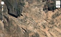
Yes it would. Probably over the top hard though. I was probably stretching it by taking it off planet.North not up could really make it interesting
Udink
Still right here.
- Joined
- Jan 17, 2012
- Messages
- 1,742
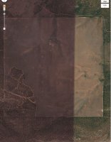
That's Little Sahara, centered here: https://maps.google.com/?ll=39.700088,-112.390823&spn=0.020505,0.042272&t=h&z=15
(though it looks like you used the 1997 satellite imagery in Google Earth )
)
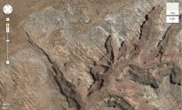
Here's one that's near some sand dunes...

(though it looks like you used the 1997 satellite imagery in Google Earth
Here's one that's near some sand dunes...

- Joined
- Aug 9, 2007
- Messages
- 12,962
Noun Sequitur
My Feet Hurt
- Joined
- Oct 24, 2012
- Messages
- 361
Canaan Mountain?
Udink
Still right here.
- Joined
- Jan 17, 2012
- Messages
- 1,742
Yep, that's the spot!Canaan Mountain?
Noun Sequitur
My Feet Hurt
- Joined
- Oct 24, 2012
- Messages
- 361
Udink
Still right here.
- Joined
- Jan 17, 2012
- Messages
- 1,742
Mexican Hat Rock: http://www.mappingsupport.com/p/gmap4.php?ll=37.173696,-109.848723&z=16&t=s
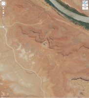
Here's one that could be ridiculously easy. I think a lot of us have been somewhere within this satellite view. I'll be camped here in a few days.

Here's one that could be ridiculously easy. I think a lot of us have been somewhere within this satellite view. I'll be camped here in a few days.

Don't like ads? Become a BCP Supporting Member and kiss them all goodbye. Click here for more info.


