Navigation
Install the app
How to install the app on iOS
Follow along with the video below to see how to install our site as a web app on your home screen.
Note: This feature may not be available in some browsers.
More options
Style variation
You are using an out of date browser. It may not display this or other websites correctly.
You should upgrade or use an alternative browser.
You should upgrade or use an alternative browser.
Guess the spot: Maps Edition
- Thread starter Backcountry Post
- Start date
- Joined
- May 31, 2015
- Messages
- 3,329
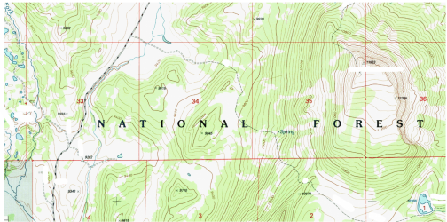
All yours!The Six Lakes and Crystal Peak in the Gros Ventre.
jholmes01
Member
- Joined
- Nov 10, 2020
- Messages
- 224
jholmes01
Member
- Joined
- Nov 10, 2020
- Messages
- 224
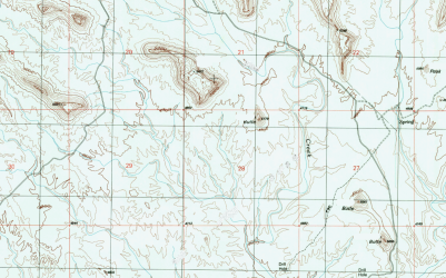
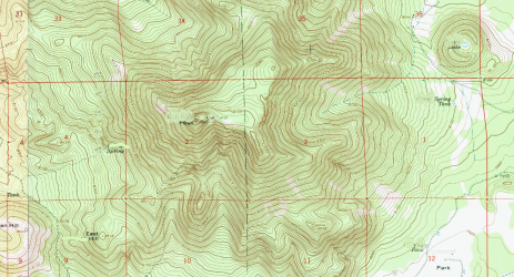
Hint: SE UtahI'll keep things rolling. Name the prominent rock feature near the top center of the map. View attachment 101063
jholmes01
Member
- Joined
- Nov 10, 2020
- Messages
- 224
Good one - you're up!Battleship Rock in Valley of the Gods.
Udink
Still right here.
- Joined
- Jan 17, 2012
- Messages
- 1,742
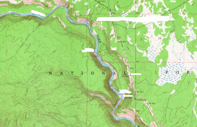
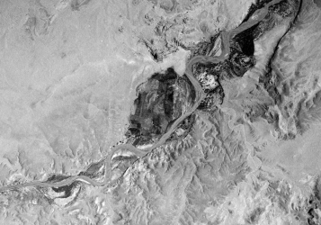
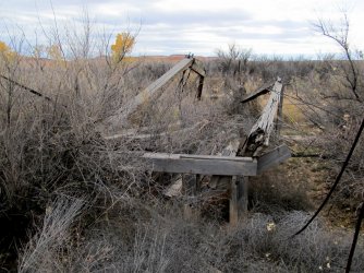
It may be a little early for a hint, but you can see a bridge in the lower-left of the aerial image. Parts of that bridge are still standing, but the span across the river is gone. There's a newer steel and concrete bridge a short distance to west. I'd bet a fair number of BCP members have been across the newer bridge, and I know a few have been to the ranch shown in the 1938 aerial image.

Udink
Still right here.
- Joined
- Jan 17, 2012
- Messages
- 1,742
No, but there are very, very strong ties between Hite and this place.Is that Hite before the dam was built?
Udink
Still right here.
- Joined
- Jan 17, 2012
- Messages
- 1,742
That's the spot! The Chaffins (mostly Lou and his wife and children) ran the ranch, and Lou's brother Art ran the Hite ferry from 1946 to 1964.Is it Chaffin Ranch on the San Rafael River?
priz1234
Member
- Joined
- Jun 10, 2020
- Messages
- 314
Yep that's itLooks like Hilgard Mountain in Utah.
jholmes01
Member
- Joined
- Nov 10, 2020
- Messages
- 224
Don't like ads? Become a BCP Supporting Member and kiss them all goodbye. Click here for more info.

