Navigation
Install the app
How to install the app on iOS
Follow along with the video below to see how to install our site as a web app on your home screen.
Note: This feature may not be available in some browsers.
More options
Style variation
You are using an out of date browser. It may not display this or other websites correctly.
You should upgrade or use an alternative browser.
You should upgrade or use an alternative browser.
Guess the spot: Maps Edition
- Thread starter Backcountry Post
- Start date
JDWalters
Member
- Joined
- Apr 21, 2017
- Messages
- 120
Dumpling mountain to be precise but you are correct! I came upon a grizzly on my way to the top. I thought I might get eaten for a second but lucky for me, he just glared at me for a few then slumbered back in to the woods.
I've been to Alaska a dozen times, but haven't made it to Katmai yet. Hopefully I'll get there at some point.
Langdon Greene
Member
- Joined
- Dec 27, 2015
- Messages
- 243
Providence Canyon, southern Georgia?
JDWalters
Member
- Joined
- Apr 21, 2017
- Messages
- 120
Providence Canyon, southern Georgia?
That was quick. Leave it to a Georgian to get it. Well done!
Langdon Greene
Member
- Joined
- Dec 27, 2015
- Messages
- 243
That was quick. Leave it to a Georgian to get it. Well done!
I has previously posted a photo of Providence Canyon to one of the other Guess The Spot threads, probably a couple of years back.
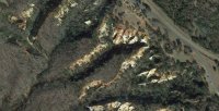
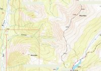
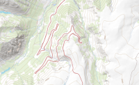
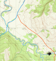
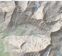
So, let's go with this next one. Your choice: name (1) the peak(s) around this basin, or (2) the stream/watershed that this basin drains into, or (3) the notable geographic area of particular backpacking interest that is/are just beyond this frame.
- Joined
- Dec 11, 2015
- Messages
- 2,094
White Cloud Peaks, ID. Snow Lake, Lonesome Lake. Drains into Warm Springs creek and eventually Salmon River.
Saw my first mountain lion downstream of here in The Meadows.
Saw my first mountain lion downstream of here in The Meadows.
Langdon Greene
Member
- Joined
- Dec 27, 2015
- Messages
- 243
White Cloud Peaks, ID. Snow Lake, Lonesome Lake. Drains into Warm Springs creek and eventually Salmon River.
That is correct. You're up, sir!
- Joined
- Dec 11, 2015
- Messages
- 2,094
- Joined
- Dec 11, 2015
- Messages
- 2,094
- Joined
- Dec 11, 2015
- Messages
- 2,094
Don't like ads? Become a BCP Supporting Member and kiss them all goodbye. Click here for more info.

