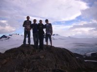
Exit Glacier, Kenai Fjords NP

Ben

Member
Joined
Sep 12, 2014
Messages
1,873
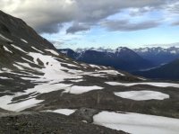
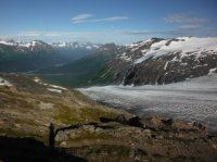
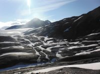
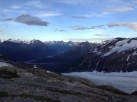
Here are some pictures from the hike up to the top of Exit Glacier via the Harding Icefield Trail. It's either three or four miles, and gains about 3,000'. Some of these pictures have very bad exposures, but they're all i have, so you know, we'll deal with it.

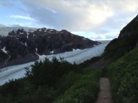
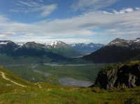
Initially the trail works it's way through dense vegetation with occasional glimpses of a view. The line through the trees to the left of the stream is the road leading to the visitor center and the parking lot for the trail.
DSCF1042.JPG


This was a bridge. If you can not tell, the beam is not placed flat.
IMG_2355.JPG

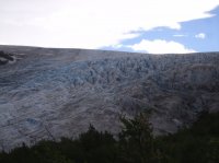
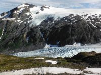
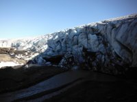
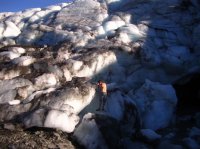
The bottom extent of the glacier meeting the valley floor.
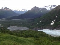
ipod2 (9).JPG

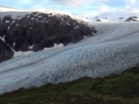
First views up to the top of the glacier.
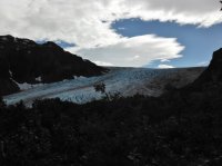
DSCF1051.JPG

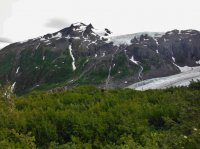
You can see the snow melt just pouring off the mountain. It was like that all over Alaska while we were there.
DSCF1054.JPG


ipod2 (6).JPG


IMG_2367.JPG


ipod2 (11).JPG

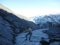
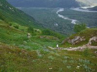
The trail, the road, the streams. you can see my brothers coming up behind me and my other brother who hikes at a reasonable pace here.
DSCF1074.JPG


IMG_2376.JPG


DSCF1078.JPG


Spencer nearing the top.
DSCF1081.JPG

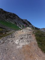
The trail keeps going.
DSCF1094.JPG


DSCF1099.JPG


DSCF1100.JPG


DSCF1106.JPG

DSCF1107.JPG

DSCF1110.JPG

We crossed some snow fields.
DSCF1124.JPG


ipod2 (30).JPG


ipod2 (39).JPG

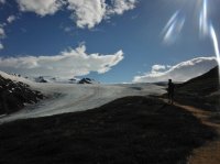
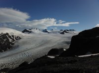
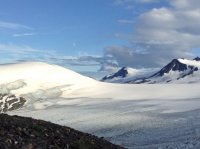
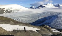
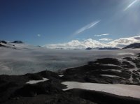
At the top. The Harding Icefield. It goes back as far as the eye can see. It is actually quite huge. There's a person silhouetted on a rock outcrop below and left of center.
DSCF1140.JPG

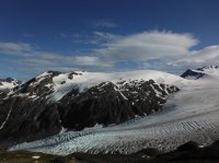
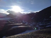
The view back out the valley.
DSCF1150.JPG

This picture gives you the best idea of what it looks like there, if you can view it large enough.
DSCF1157.JPG

DSCF1160.JPG


DSCF1162.JPG


ipod2 (44).JPG


ipod2 (59).JPG

ipod2 (73).JPG


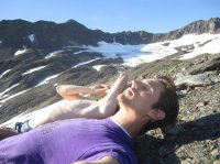
We had enough time waiting for my youngest brothers to catch up to enjoy our selves.
IMG_2418.JPG


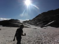
You can see how cold it was up there during our visit.
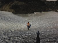
DSCF1171.JPG

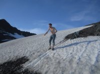
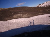
We spent a little while enjoying our selves on that slope. Skiing in july.
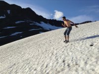
ipod2 (79).JPG


IMG_2493.JPG


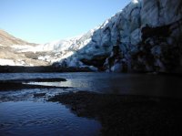
We also explored the top a little. This stream flows down to the glacier, from who knows where, and then under it. It is actually a lot of water, moving very very quickly.
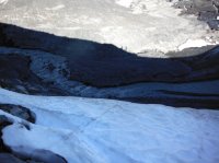
DSCF1182.JPG

DSCF1189.JPG

DSCF1193.JPG

Hopping the stream.
IMG_2457.JPG

IMG_2459.JPG

IMG_2469.JPG


ipod2 (93).JPG

ipod2 (94).JPG

ipod2 (98).JPG


IMG_2490.JPG

The youngest two finally made it up.
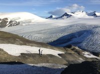
ipod2.JPG

Three of them did a polar bear in one of the melt puddles and sang 'I'm A Little Teapot'. I'm smarter than that, i filmed them.
IMG_2509.JPG

IMG_2518.JPG

Featured image for home page:
slide.jpg
 
Last edited:
Looks amazing up there. I can see why you are heading back. Very cool to be around that much ice and snow but in comfortable temps.
 
Awesome photos. When we did the hike it was raining and foggy the whole time. I wanna go back when there is weather like that.
 
  • Like
Reactions: Ben
Alaska gives a whole new meaning to "huge" - it's easy to lose your sense of scale up there. The Harding Icefield and its glaciers cover more than 1,000 square miles, and the ice in the area around the top of Exit Glacier is around 2,000 feet thick. I think in spots its thickness approaches 4,000 feet.
 
Wow, thanks, that brought back some memories! We were right there in summer 2005. We started up the trail pretty late in the day, got delayed by bear activity on the upper part not long before the top, and ended up doing this crazy trail-run-type descent because it was getting dark and we had no gear for an, um, extended stay. The next day my legs - especially my knees - hurt so bad I couldn't walk. It was freakin' beautiful though and I'd love to go back sometime and spend the whole day just enjoying the ice like y'all did. Thanks!
 
  • Like
Reactions: Ben
Similar threads
Thread starter Title Forum Replies Date
Stickerbumper Fold Canyon Middle Exit Trip Planning 9
RyanP The Plug exit of Pictograph Fork (Maze) Trip Planning 15
Dave John Sam's Mesa Box/NOLS Exit/Twin Corral Loop-Rest of Story Backpacking 16
regehr Millard Canyon "easy exit"? Trip Planning 8
Adventure monkey Steve Allen's exit out of Happy Canyon to the Big Ridge. Trip Planning 17
Blake Merrell Boundary Canyon w/ Narrows Exit Canyoneering 9
Blake Merrell Quandary Canyon w/ Ramp Canyon Exit Canyoneering 2
TheMountainRabbit Ortenburger Lake, Talus Lake, & Glacier Peak (Grand Teton NP) - October 2023 Backpacking 14
Rockskipper Did someone put another monolith on Mt. Wilbur in Glacier? General Discussion 14
chandlerwest Glacier Nat'l Park - "The Collector" Hiking & Camping 7
chandlerwest Glacier Nat'l Park - BCP Fix Hiking & Camping 11
westy Invite Glacier Peak, Washington Meet Up (Members Only) 2
norwegianxplorer 7 days backpacking Breheimen/Glacier Home National Park in Norway Backpacking 2
ram Glacier Peak July 2021 Backpacking 9
norwegianxplorer Finding Hidden Glacier, 9 days backpacking Jotunheimen National Park Pt3, Norway. Trip Reports 0
chandlerwest Glacier Nat'l Park - August 2021 (Fulfillment of a Dream) Hiking & Camping 9
chandlerwest Glacier National Park - June 2021 Hiking & Camping 8
zionsky Glacier NP to Implement Ticketed Entry for Summer Season Trip Planning 29
forest dweller Invite update / edit - have off second and third week in August - wanting to backpack in Glacier, Olympic or Yellowstone, hinges on finding companions. Meet Up (Members Only) 37
travel2walk trip report: Wind River Range – Ross Lakes, Bear Basin, Grasshopper Glacier, & Dinwoody Creek loop, Aug-Sep 2020 Trip Reports 41
marquiri Anyone Submit Their Application for Glacier Yesterday? Trip Planning 3
Outdoor_Fool Snowshoeing to Castner Glacier Ice Cave, Alaska Range Winter Sports 5
Outdoor_Fool Gulkana Glacier Re-visited Backpacking 4
U Favorite sites in Glacier in North Fork, Lake McDonald or Cole/Nyack? Looking at mid july Trip Planning 2
U Any recommendations for 5 days hiking in Wyoming, Idaho or MT? This is around July 15-20. Not counting on Glacier being open Trip Planning 9
U Glacier North Circle Loop Mid July - Looking for an alternative back-up plan for a 3-4 nighter Trip Planning 0
Mikjik86 FULL Video Part 2 Backpacking Glacier National Park "North Circle Route" Backpacking 0
Mikjik86 Backpacking Glacier National Park (Part 2 Preview) "North Circle Route" Montana, August 2019 Backpacking 2
E Glacier National Park in Mid July Trip Planning 0
Dave Sperry Soaker (Glacier NP, 2019) Backpacking 10
Mikjik86 Backpacking Glacier National Park August 2019 Backpacking 3
Mikjik86 Backpacking Glacier National Park - North Circle Route Part 1 Preview Video. Backpacking 1
TeamJenkins17 Few days in Glacier August 2019 Hiking & Camping 0
chandlerwest Glacier National Park - August 2019 Hiking & Camping 20
R 6 day Glacier National Park Trip August 6th-14th Advice Trip Planning 0
NorthwestWanderer 6 Day backpacking trip in Glacier Peak Wilderness (3 days of off trail route) Backpacking 9
NorthwestWanderer Poet Ridge - Glacier Peak Wilderness Hiking & Camping 3
chandlerwest Glacier National Park -- June 2019 Hiking & Camping 15
S Mendenhall Glacier Ice Caves with Grandma Hiking & Camping 10
N Olympic National Park - Anderson Glacier Trip Planning 2
McKee80 Glacier NP, part 2. North Fork, Sept 2018 Backpacking 11
McKee80 Glacier NP Multi Segment Quasi Northern Traverse Backpacking 19
dfcooper Late September trip in Glacier. Backpacking 2
NorthwestWanderer Lyman Lakes, Glacier Peak Wilderness, WA Backpacking 12
piper01 Glacier National Park, Part 4: Ptarmigan Tunnel and Iceberg Lake (Sept 2017) Hiking & Camping 3
piper01 Glacier National Park, Part 3: Grinnell Lake & Glacier (Sept 2017) Hiking & Camping 1
NorthwestWanderer Glacier Lake, Mt. Adams Wilderness Backpacking 5
ram Mt. Shuksan via the Sulfide Glacier Backpacking 11
Scott Chandler The Chandler Family Get Together in Glacier 2018: Day 5 Hiking & Camping 1
Scott Chandler The Chandler Family Get Together in Glacier 2018: Days 3 & 4 Hiking & Camping 1

Similar threads

Back
Top