Ben
Member
- Joined
- Sep 12, 2014
- Messages
- 1,873
There are a lot of pictures in this post, especially for a short three day trip, but frankly, this is probably the most beautiful place i've ever been.
The route was very straight forward. Up one river, over a pass, and down an other river. I brought my packraft for the second river
Click here to view on CalTopo
Denali National Park has a single road that runs the North side of the Alaska Range, with a bus system that will drop you off and pick you up where ever you want to go.
Here is a picture of the Teklanika River viewed from a stop the buses make along the road.

And here is a zoomed in shot of the bridge over the Teklanika River farther up stream, viewed from the same place.
On the right is the edge of Cathedral Mountain. I took the bus to the far end of Cathedral Mountain, and hiked through a very low pass to the Teklanika River farther up to save some miles.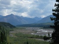
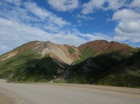
Here is Cathedral Mountain, viewed from the road. It's very colorful. But a lot of the Alaska Range is.
Looking back on Cathedral Mountain from the 'pass'. On the left half of the photo you can see the cut of the road.

Cathedral Mountain and the pass.

Looking across the depression of the Teklanika River valley.
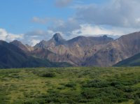
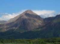
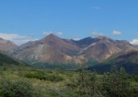
And Cathedral Mountain again.
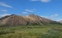
The Teklanika River, looking East. I'll drop down to the river bars to walk, and head South toward the darker, more ominous looking area on the right of the frame. This pictures captures what would be a trend of this trip, where looking one direction was a very nice lovely day, and looking the other direction was an unpleasant looking storm. Fortunately the storms were never sustained, just came and went.

Nearer the river.
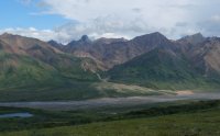
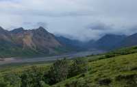
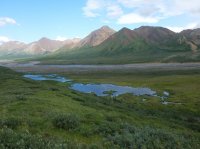
Looking back to the North. A few ponds.
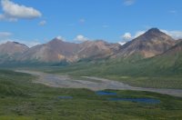
A couple more.
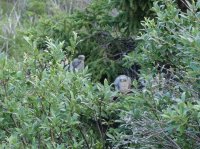
Some baby birds, making noise in a tree.
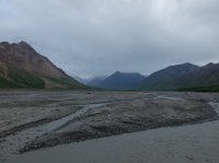
On the river bar, looking up stream. The route ahead. There would be a couple places that i would have to go up above the river through some brush to bypass some cut banks from the river's changing course.
Zoomed in. Clouds spilling over the Alaska Divide.
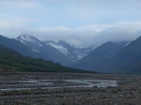
Above one of those cut banks.

Looking back. You can see where i passed above here., in the midground.
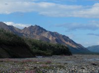
Looking back.
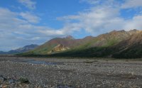
Across the river. There are several braided channels, and more water than this view makes it appear.

Zoomed in, but getting closer to the head of the valley.
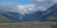
That same mountain East across the river.
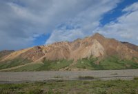
Head of the valley.
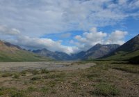
Looking back down stream at Cathedral Mountain.
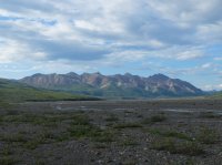
I came by these three bears. They were on the far side of the valley, doing their thing.
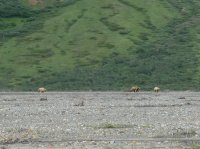
One of the bears walked a different direction from the other two. In this image you can see a crazy craibou on the left that was hopping around haphazardly.

Two of the bears took a course that was going to intersect my path, so i just walked back a ways, and waited for them to get where they were going. They never paid me any mind.
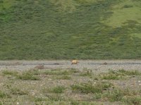
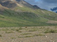
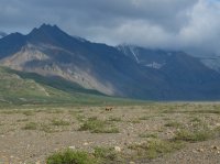
They both crossed the valley, went up into these bushes, and left me to go on up the river, looking back over my should for a while.
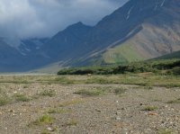
An other view across the river.
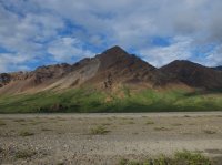


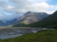
Going up above the banks again.
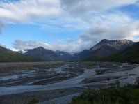
Down stream.

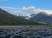
Here you can see the changing nature of the river. It's course has altered, apparently since the previous year, now flowing through bushes that previously would have been dry. In a couple days i'd end up floating the raft through some thing like that on the Sanctuary. Very interesting.
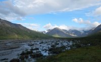

Head walls.
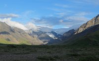
I'd drop my pack before getting to the point left of center and spend an hour exploring the short drainage to the right. The next day i would be heading the other direction, farther to the left.
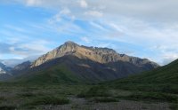
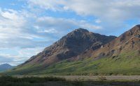
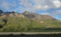
A tiny canyon, colorful rocks.
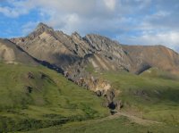
Looking East, at the head of the drainage. Tomorrow i'd head that direction, but cut left of the higher peaks.
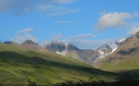
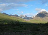
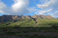
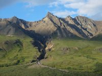
Here you can the full head of the Teklanika drainage. On the right is a spur i went and explored this evening. Just left of center is the true head of the river. Far left is the branch that leads to the pass to the Sanctuary River that i would take the next day.

Looking up the right (West) branch
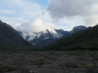
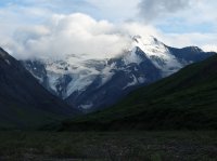
East, tomorrow's direction.
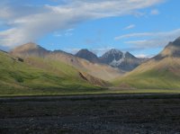
Northeast, slightly down stream.
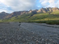
Southeast.
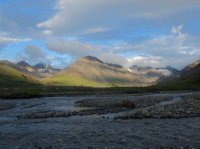
South, the Alaska Divide.
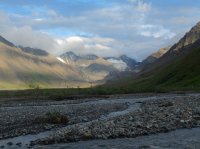
The ridge back to the East as i start walking up the West drainage.
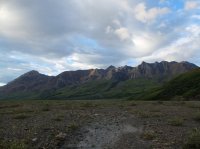
Up the West.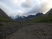
Near the head.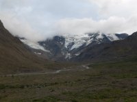
Proper mountains.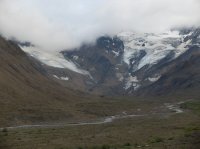
As i started to head back East to set up camp for the night, the ridges started to catch some late light, around eleven pm.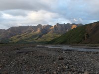
Late light back on the West drainage.

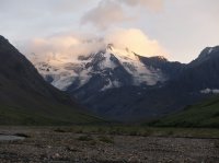
And to the South and East.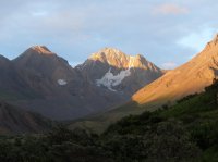
I decided to ford a main branch of the river this evening so my shoes might have some chance to dry a little over night. The water was incredibly cold. My ankles were full numb by the time i made it across, it was painful, made my legs cold even where they hadn't gotten wet.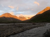
I missed some of the best light screwing around fording the stream, and only ended up with this. It was even better just moments before.
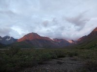
The sun set in the North, looking back down stream, all the way over Cathedral Mountain.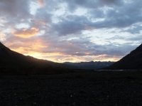
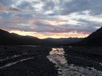

I set up the tent.
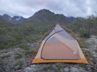
The clouds got some real neon to them, so i took some more pictures.
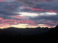
The next morning started out gorgeous. No thing to do but cross a pass.
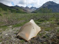
And may be ten minutes into walking, it started pouring rain. I tented back up for a little while and waited it out.
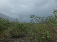
May be an hour later it was nice out again.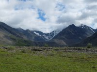
Heading up this drainage. I'll cut left into one of the hidden valleys, an easy pass.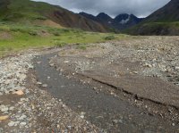
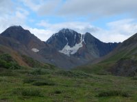
The way i'm not going.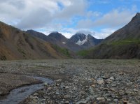
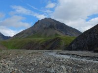
I climbed loose rocks on the cliffs left of the stream here rather than fording again. Mostly i didn't care to get my feet wet, but also the water was pretty swift, and i couldn't even see an inch into it.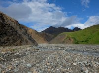
Up we go.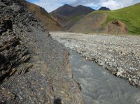
And up some more.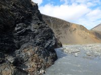
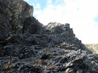
Looking down, water like liquid concrete.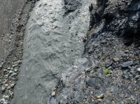
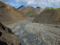
Looking at what i'd come down.
Here is where i break left from the main East drainage.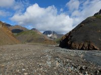
Up this one. The pass is left of the center peak here.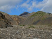
More colorful rocks, an other side draw .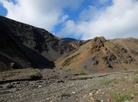
Making progress.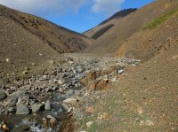

An ice bridge. The pass almost in sight.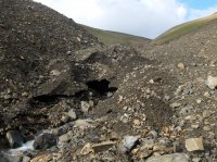
There.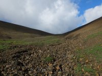
Looking over the other side, East, to Refuge Valley.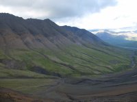
Zoomed.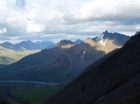
Looking back West at the peaks i'd left behind.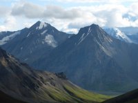
You can see some of the route up.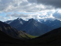
A ridge North from the pass. I liked this place so much i stopped here to make lunch.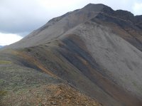

Naturally, before i'd even finished eating some more rain moved in.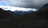
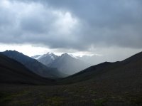

I hustled up the tent again and waited it out. It only lasted some minutes.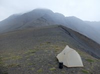
But it really came down. It's not fog obscuring the lower view, just rain.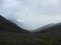
I was glad i'd stayed there when it was over.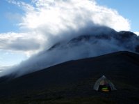
West.
East.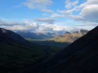
North.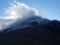
Starting down.
Looking back you can see the tracks of every one who uses the pass. I was glad i was going down this side rather than up.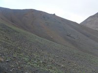
I angled to benches above the drainage bottom. This proved to be the right thing to do.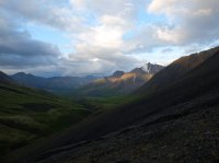
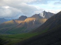
A tiny hanging valley on the one i was making my way down. A small herd of caribou ran below here.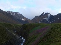
Dall sheep horn.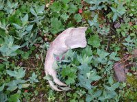
Angled light. It got late before i was ready for it to, but i had waited out two storms in a tent this day. Not a real problem, it doesn't ever actually get dark.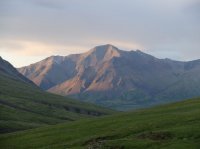
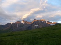
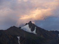

A falls in the bed of the canyon i was glad i wasn't walking the bottom of.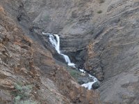
The head wall of Refuge Valley begins to come in to view.
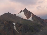
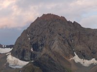
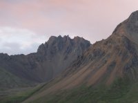
Looking down in to the canyon of the stream that began at the pass i crossed.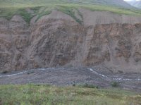
Here it opens to Refuge Valley.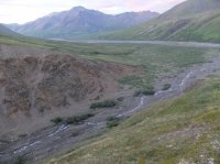
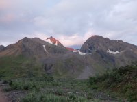
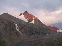
On the valley floor, looking at the head of the drainage. I ate dinner and went to bed.
Beautiful day the next morning. The low point is the pass i walked the day before.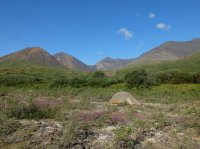
I spent the morning walking up to the head of Refuge Valley. All i had to do was float out to the road today.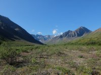
The pass left of center, the canyon that drains it center. Those orange walls are actually almost 200' high.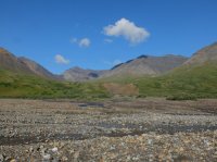
Up the valley.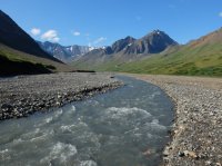
Looking down stream from farther up.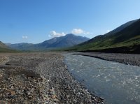
Crags along the way.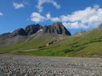
Milky white stream empties in to the clearer water.
Braided channels.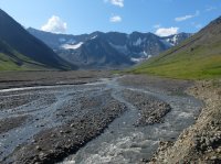
Lots of flowers.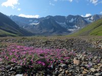
You can see moraines.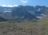
Opening up at the head wall.
East.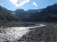
West.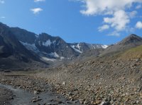
Farther West. There were peaks every where.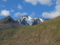

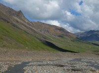
Back down the drainage.
More views of the crags.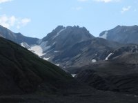
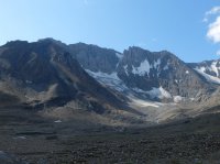
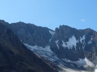
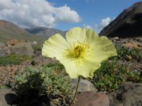
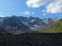
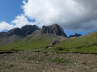
An other horn.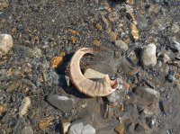
Near camp again, looking back. The head wall center, the pass on right.


Down stream. I walked a ways till i came to a place where the flow looked sufficient to put in.
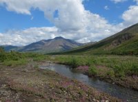
This would work. An other major branch enters not far down stream, you can see it heading there in this image.

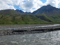
South.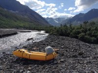
North.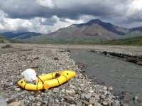
The river moved quickly enough. It took me may be 3 hours to do may be 17 miles, some thing that would have taken the entirety of a day to do on foot. The biggest difficulty was staying in the right channel, not getting graveled out. Closer to the take out there were more trees leaning out over fast moving bends in the river. My ipod died before i was half way down the river, and i had the real camera put way in a bag.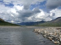
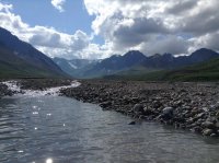
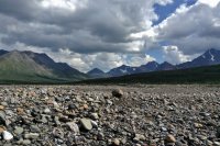

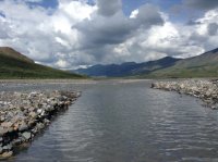
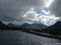
A storm moved in down river from me. I pulled off to wait and watch it for a moment, but it seemed to just sit there, so eventually i just went ahead.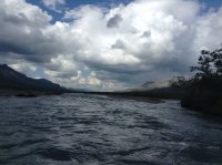
It poured on me for a while, longer than i'd've liked. I just ran it and got it over with.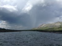
Looking back up river.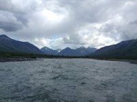
And down at the rain.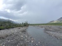
Still pretty nice out where i'd come from.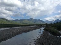
Once i made it in to the rain it kept up to some extent until i pulled out at the bridge. I kept warm while in the raft, hunkering, and paddling enough. I got out and stripped out of the wet suit shivering pretty good. Fortunately i still had dry clothes. Walked a couple hundred feet to the road and caught the bus back. The day soon turned nice again.
video of three bears
two of the bears. more walking time.
some caribou
The route was very straight forward. Up one river, over a pass, and down an other river. I brought my packraft for the second river
Click here to view on CalTopo
Denali National Park has a single road that runs the North side of the Alaska Range, with a bus system that will drop you off and pick you up where ever you want to go.
Here is a picture of the Teklanika River viewed from a stop the buses make along the road.

And here is a zoomed in shot of the bridge over the Teklanika River farther up stream, viewed from the same place.
On the right is the edge of Cathedral Mountain. I took the bus to the far end of Cathedral Mountain, and hiked through a very low pass to the Teklanika River farther up to save some miles.

Here is Cathedral Mountain, viewed from the road. It's very colorful. But a lot of the Alaska Range is.

Looking back on Cathedral Mountain from the 'pass'. On the left half of the photo you can see the cut of the road.

Cathedral Mountain and the pass.

Looking across the depression of the Teklanika River valley.


And Cathedral Mountain again.

The Teklanika River, looking East. I'll drop down to the river bars to walk, and head South toward the darker, more ominous looking area on the right of the frame. This pictures captures what would be a trend of this trip, where looking one direction was a very nice lovely day, and looking the other direction was an unpleasant looking storm. Fortunately the storms were never sustained, just came and went.

Nearer the river.


Looking back to the North. A few ponds.

A couple more.

Some baby birds, making noise in a tree.

On the river bar, looking up stream. The route ahead. There would be a couple places that i would have to go up above the river through some brush to bypass some cut banks from the river's changing course.

Zoomed in. Clouds spilling over the Alaska Divide.

Above one of those cut banks.

Looking back. You can see where i passed above here., in the midground.

Looking back.

Across the river. There are several braided channels, and more water than this view makes it appear.

Zoomed in, but getting closer to the head of the valley.

That same mountain East across the river.

Head of the valley.

Looking back down stream at Cathedral Mountain.

I came by these three bears. They were on the far side of the valley, doing their thing.

One of the bears walked a different direction from the other two. In this image you can see a crazy craibou on the left that was hopping around haphazardly.

Two of the bears took a course that was going to intersect my path, so i just walked back a ways, and waited for them to get where they were going. They never paid me any mind.


They both crossed the valley, went up into these bushes, and left me to go on up the river, looking back over my should for a while.

An other view across the river.


Going up above the banks again.

Down stream.


Here you can see the changing nature of the river. It's course has altered, apparently since the previous year, now flowing through bushes that previously would have been dry. In a couple days i'd end up floating the raft through some thing like that on the Sanctuary. Very interesting.


Head walls.

I'd drop my pack before getting to the point left of center and spend an hour exploring the short drainage to the right. The next day i would be heading the other direction, farther to the left.


A tiny canyon, colorful rocks.

Looking East, at the head of the drainage. Tomorrow i'd head that direction, but cut left of the higher peaks.


Here you can the full head of the Teklanika drainage. On the right is a spur i went and explored this evening. Just left of center is the true head of the river. Far left is the branch that leads to the pass to the Sanctuary River that i would take the next day.

Looking up the right (West) branch


East, tomorrow's direction.

Northeast, slightly down stream.

Southeast.

South, the Alaska Divide.

The ridge back to the East as i start walking up the West drainage.

Up the West.

Near the head.

Proper mountains.

As i started to head back East to set up camp for the night, the ridges started to catch some late light, around eleven pm.

Late light back on the West drainage.


And to the South and East.

I decided to ford a main branch of the river this evening so my shoes might have some chance to dry a little over night. The water was incredibly cold. My ankles were full numb by the time i made it across, it was painful, made my legs cold even where they hadn't gotten wet.

I missed some of the best light screwing around fording the stream, and only ended up with this. It was even better just moments before.

The sun set in the North, looking back down stream, all the way over Cathedral Mountain.


I set up the tent.

The clouds got some real neon to them, so i took some more pictures.

The next morning started out gorgeous. No thing to do but cross a pass.

And may be ten minutes into walking, it started pouring rain. I tented back up for a little while and waited it out.

May be an hour later it was nice out again.

Heading up this drainage. I'll cut left into one of the hidden valleys, an easy pass.


The way i'm not going.


I climbed loose rocks on the cliffs left of the stream here rather than fording again. Mostly i didn't care to get my feet wet, but also the water was pretty swift, and i couldn't even see an inch into it.

Up we go.

And up some more.


Looking down, water like liquid concrete.


Looking at what i'd come down.

Here is where i break left from the main East drainage.

Up this one. The pass is left of the center peak here.

More colorful rocks, an other side draw .

Making progress.


An ice bridge. The pass almost in sight.

There.

Looking over the other side, East, to Refuge Valley.

Zoomed.

Looking back West at the peaks i'd left behind.

You can see some of the route up.

A ridge North from the pass. I liked this place so much i stopped here to make lunch.


Naturally, before i'd even finished eating some more rain moved in.


I hustled up the tent again and waited it out. It only lasted some minutes.

But it really came down. It's not fog obscuring the lower view, just rain.

I was glad i'd stayed there when it was over.

West.

East.

North.

Starting down.

Looking back you can see the tracks of every one who uses the pass. I was glad i was going down this side rather than up.

I angled to benches above the drainage bottom. This proved to be the right thing to do.


A tiny hanging valley on the one i was making my way down. A small herd of caribou ran below here.

Dall sheep horn.

Angled light. It got late before i was ready for it to, but i had waited out two storms in a tent this day. Not a real problem, it doesn't ever actually get dark.


A falls in the bed of the canyon i was glad i wasn't walking the bottom of.


The head wall of Refuge Valley begins to come in to view.


Looking down in to the canyon of the stream that began at the pass i crossed.

Here it opens to Refuge Valley.


On the valley floor, looking at the head of the drainage. I ate dinner and went to bed.

Beautiful day the next morning. The low point is the pass i walked the day before.

I spent the morning walking up to the head of Refuge Valley. All i had to do was float out to the road today.

The pass left of center, the canyon that drains it center. Those orange walls are actually almost 200' high.

Up the valley.

Looking down stream from farther up.

Crags along the way.

Milky white stream empties in to the clearer water.

Braided channels.

Lots of flowers.

You can see moraines.

Opening up at the head wall.

East.

West.

Farther West. There were peaks every where.


Back down the drainage.

More views of the crags.


An other horn.

Near camp again, looking back. The head wall center, the pass on right.


Down stream. I walked a ways till i came to a place where the flow looked sufficient to put in.

This would work. An other major branch enters not far down stream, you can see it heading there in this image.


South.

North.

The river moved quickly enough. It took me may be 3 hours to do may be 17 miles, some thing that would have taken the entirety of a day to do on foot. The biggest difficulty was staying in the right channel, not getting graveled out. Closer to the take out there were more trees leaning out over fast moving bends in the river. My ipod died before i was half way down the river, and i had the real camera put way in a bag.


A storm moved in down river from me. I pulled off to wait and watch it for a moment, but it seemed to just sit there, so eventually i just went ahead.

It poured on me for a while, longer than i'd've liked. I just ran it and got it over with.

Looking back up river.

And down at the rain.

Still pretty nice out where i'd come from.

Once i made it in to the rain it kept up to some extent until i pulled out at the bridge. I kept warm while in the raft, hunkering, and paddling enough. I got out and stripped out of the wet suit shivering pretty good. Fortunately i still had dry clothes. Walked a couple hundred feet to the road and caught the bus back. The day soon turned nice again.
video of three bears
two of the bears. more walking time.
some caribou
Last edited:
