fossana
Member
- Joined
- Jan 11, 2018
- Messages
- 1,038
Intro
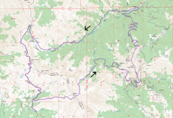
My original Labor Day plan was to do a 3-day Sierra trip with my Bishop friend, but he decided he wanted to do a longer trip and I decided I wasn't motivated to deal with the drive, traffic, and crowded trails. Instead I made a plan to head back to the much closer Tushar Range and spend the remaining days putting a small dent in my never-ending home remodel. To mix things up from my last trip I followed most of the big loop on the Tushar Mountain Race 70k course.
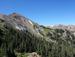
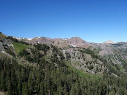
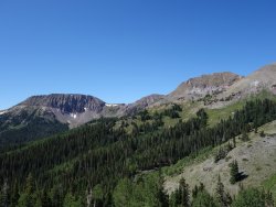
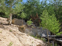
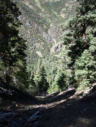
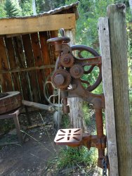
Instead of doing Delano Peak (12,173') at the end, it was the first climb of the day. The course then drops into South Fork, over Alunite Ridge, then heads up South Edna Peak and Mt Brigham. Next it drops into Bullion Canyon, passing Miners Park (and associated relics) before the long climb up Bullion Canyon to Bullion Pasture (passing the rotting elk carcass along the way). I missed the course's switchback descent into Bullion Canyon because I was following a second switchbacked old mining road just slightly to the SW (also not on the USFS map). The road abruptly ended midslope, resulting in an annoying direct descent down a super steep, loose dirt slope, which I descended with (cramponless) French technique.
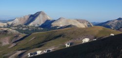
After Bullion Pasture there are a few more 11,000' saddles before dropping back down to the start. The only people I saw all day were on the more accessible 2-track sections. In retrospect, the marathon course I followed on the last trip was a lot more scenic and had less 2-track, but the point was to maintain my acclimatization and get in some endurance training, so overall it served its purpose. Plus the cats got souvenir ball of goat wool to add to their toy collection.
Logistics
Jurisdiction: Fishlake National Forest
Permits: none required
Dogs friendly: yes
Water: many streams along the way, possible snow fields
Start/end: Recommend Big John Flat. Some of the other trailheads have less reliable road access. Big John also has flattish camping at a reasonably high elevation.
Mileage: ~22
Elevation gain: ~7.2K ft
Navigation: For the most part the trail junctions were signed; however the dirt roads and cross-country portions were unmarked. Not all of the roads were shown on the topo map.
Approximate Route
Photos
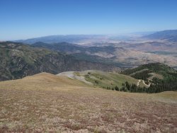
Delano Peak
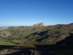
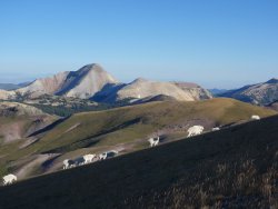
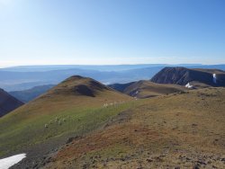
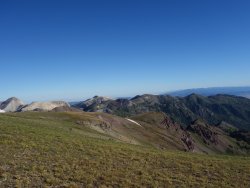
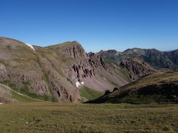
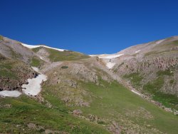
South Fork
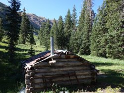
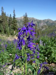
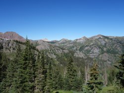
Alunite Ridge
Into Bullion Canyon and Miners Park
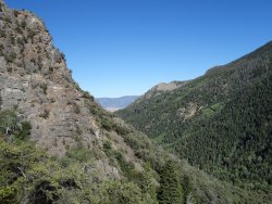
Bullion Canyon Exit
 .
. 