DOSS
out
- Joined
- Jan 17, 2012
- Messages
- 292

Back in June my friend Sam sends me an email with the subject line of “Lets do this in October” and the email contained the following link http://climb-utah.com/Escalante/buckskin.htm 20 minutes later I replied with “I’m game” and that got the ball rolling on our trip down Buckskin Gulch. The plan was to start at the Wire Pass trail head follow it down to its confluence with Buckskin gulch until its confluence with the Paria river setting up camp there for the night before heading up the Paria to where we would leave a shuttle car at the White House trail head. With this basic information the adventure began.
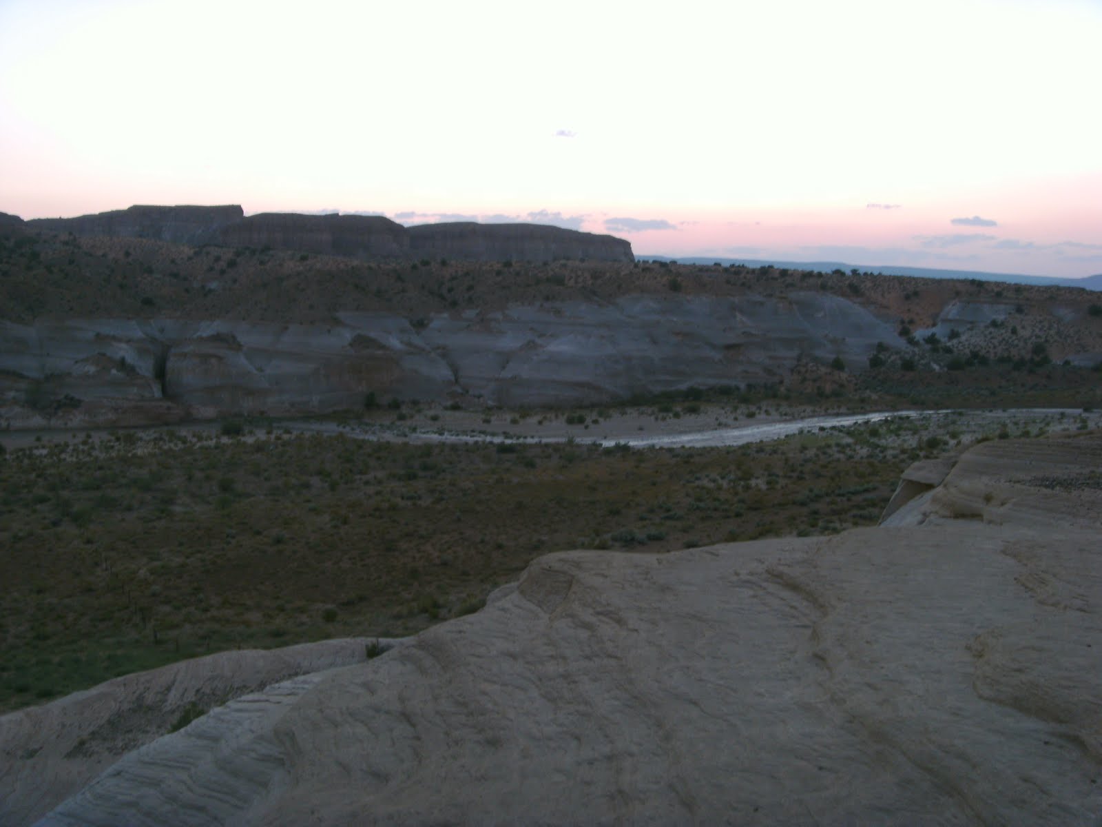
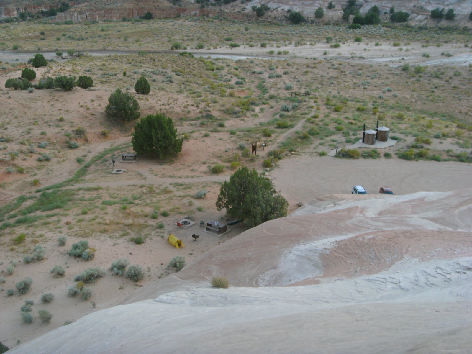
We both arrived within 15 minutes of each other at the White House trail head on 8/14/09 around 6:30 in the evening. We immediately set up our little camp Sam in his one man tent me in my hammock attached to a tree and the picnic table. Once camp was “set up” we went wandering around the surrounding cliffs and scrambling up the steep sandstone walls only to find lots of polished rocks that were great for throwing off to see how far we could make it. The sun started to go down so we went back to camp for a little food and then we sat up and talked in the dark about life, S&S Adventures and other odd topics. Before heading off to sleep we spent a fruitless 30 minutes scouring the area with flashlights trying to find scorpions but instead found a Kangaroo Rat that we were able to watch for a while before it scampered into a hole.
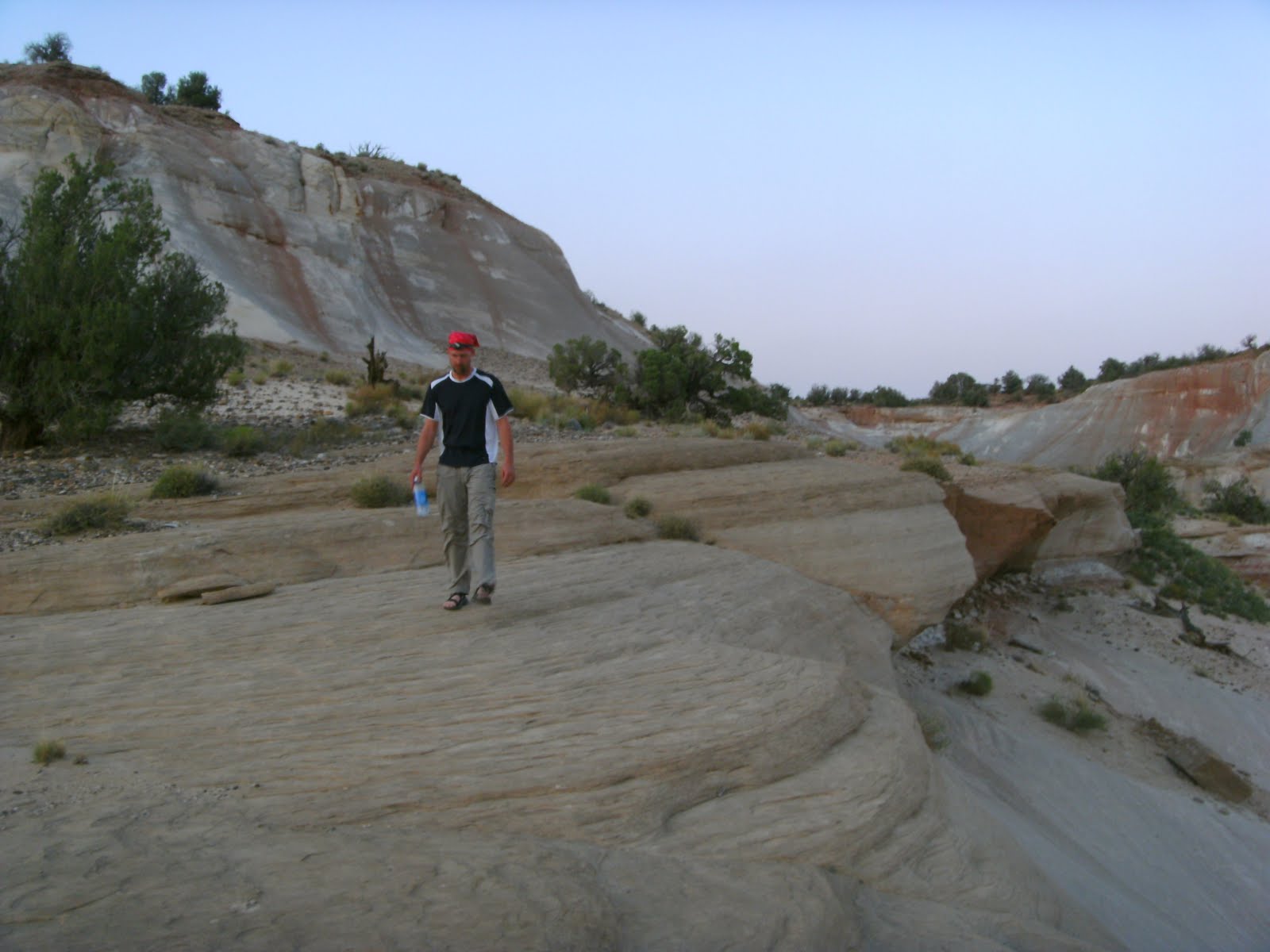
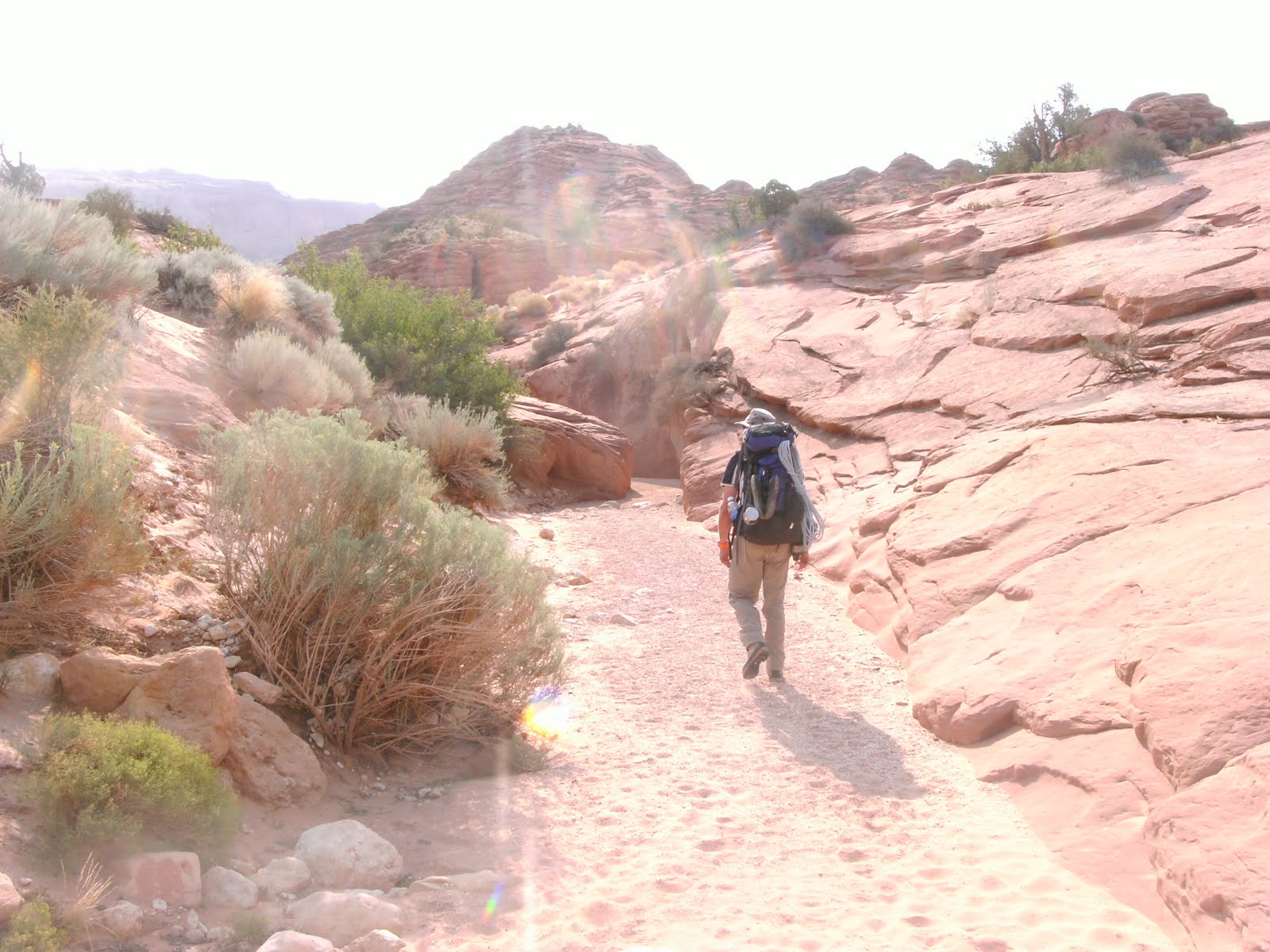
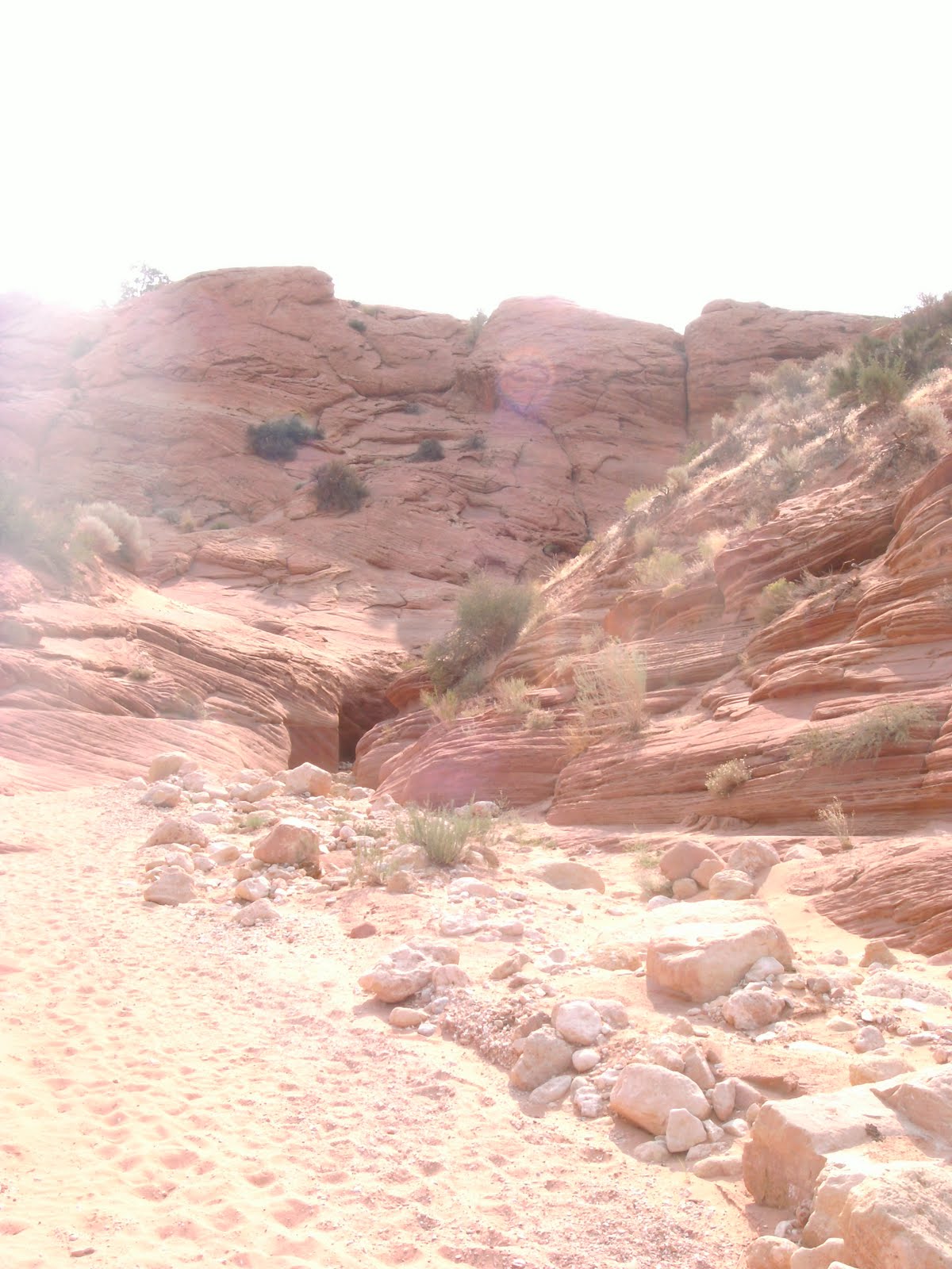
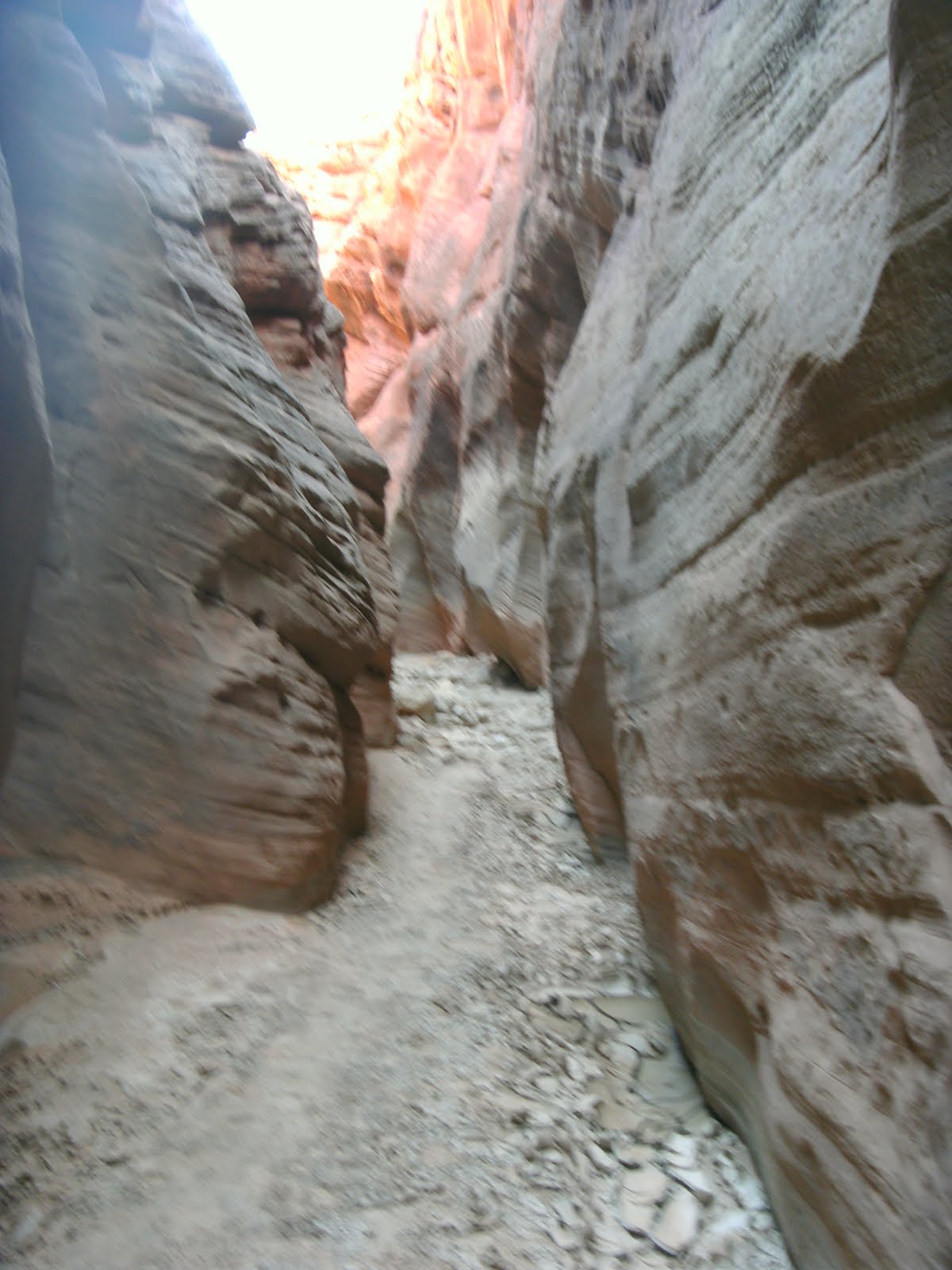
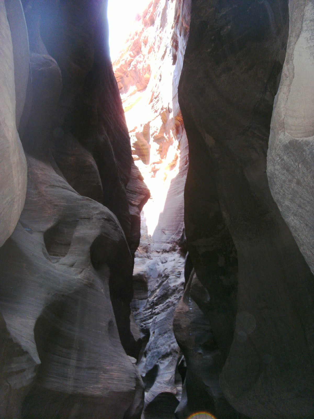
Saturday morning came quickly we both had a poor nights sleep Sam due to allergies and me due to the rope I used to tie up my hammock stretching causing me to be bent in half most of the night. We packed up and took Sam’s car over to the Wire Pass trail head and were on our way by 9AM. As soon as we entered the slot canyon in Wire Pass everything got really interesting with a few easy down climbs and some of the tightest squeezes of the trip we both had grins from ear to ear and couldn’t stop talking about how cool it was.
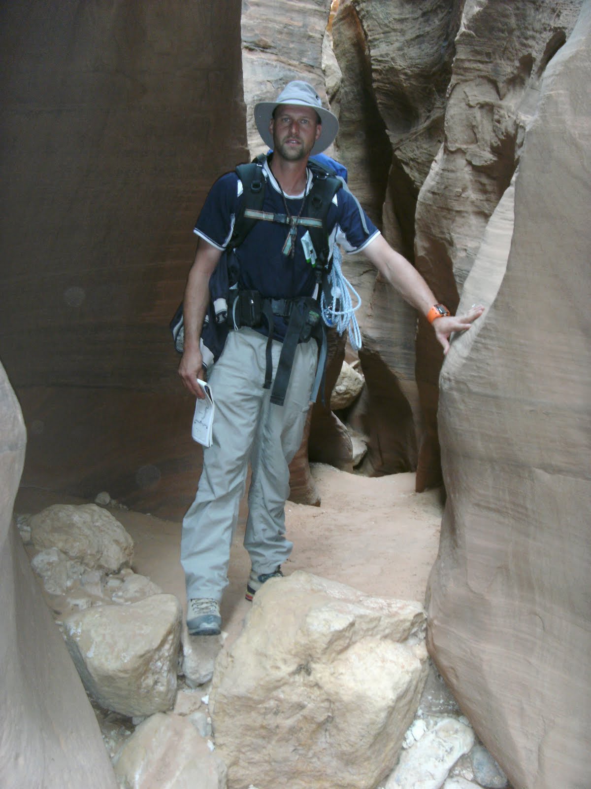
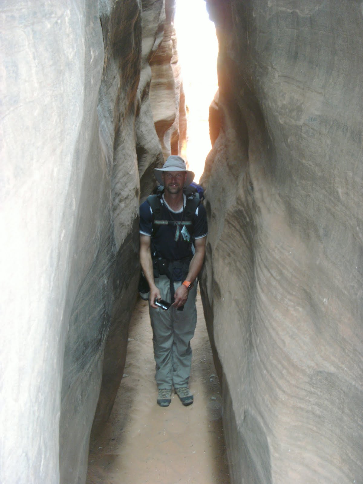
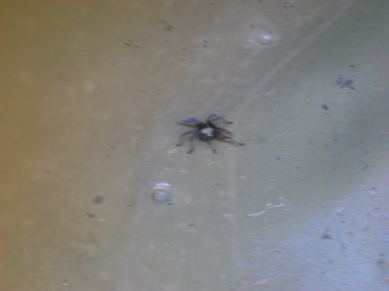
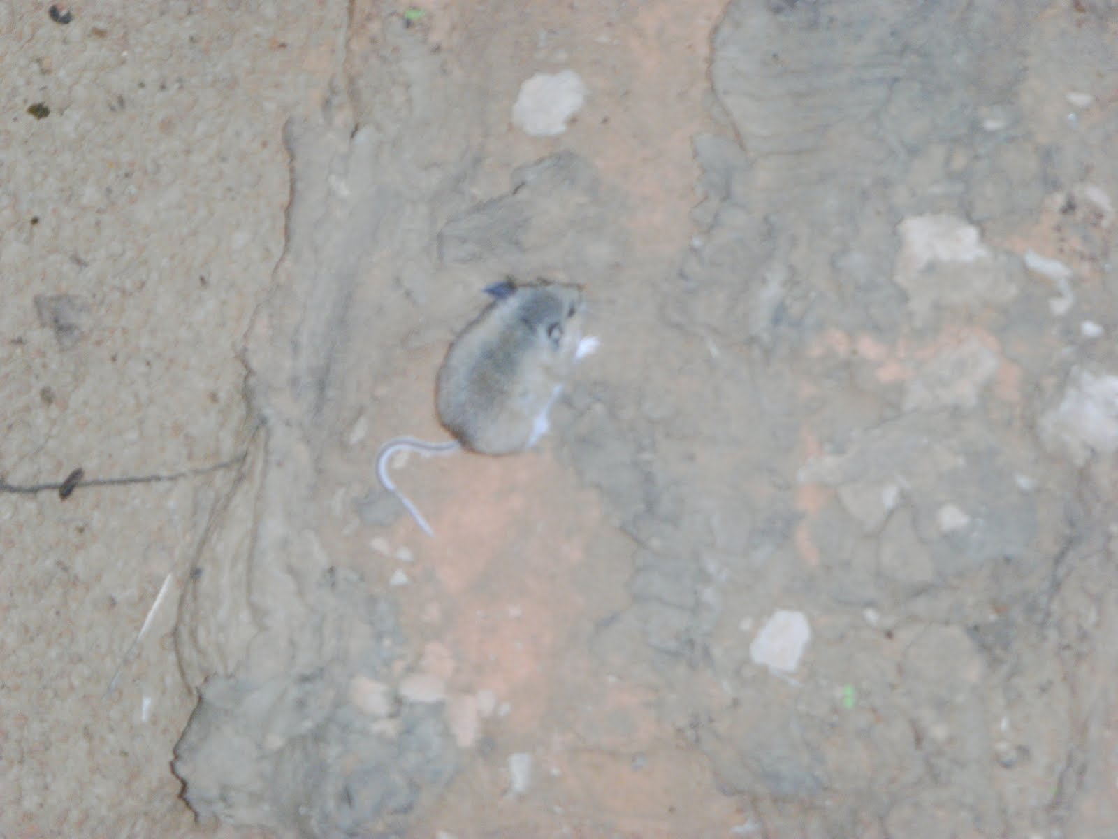
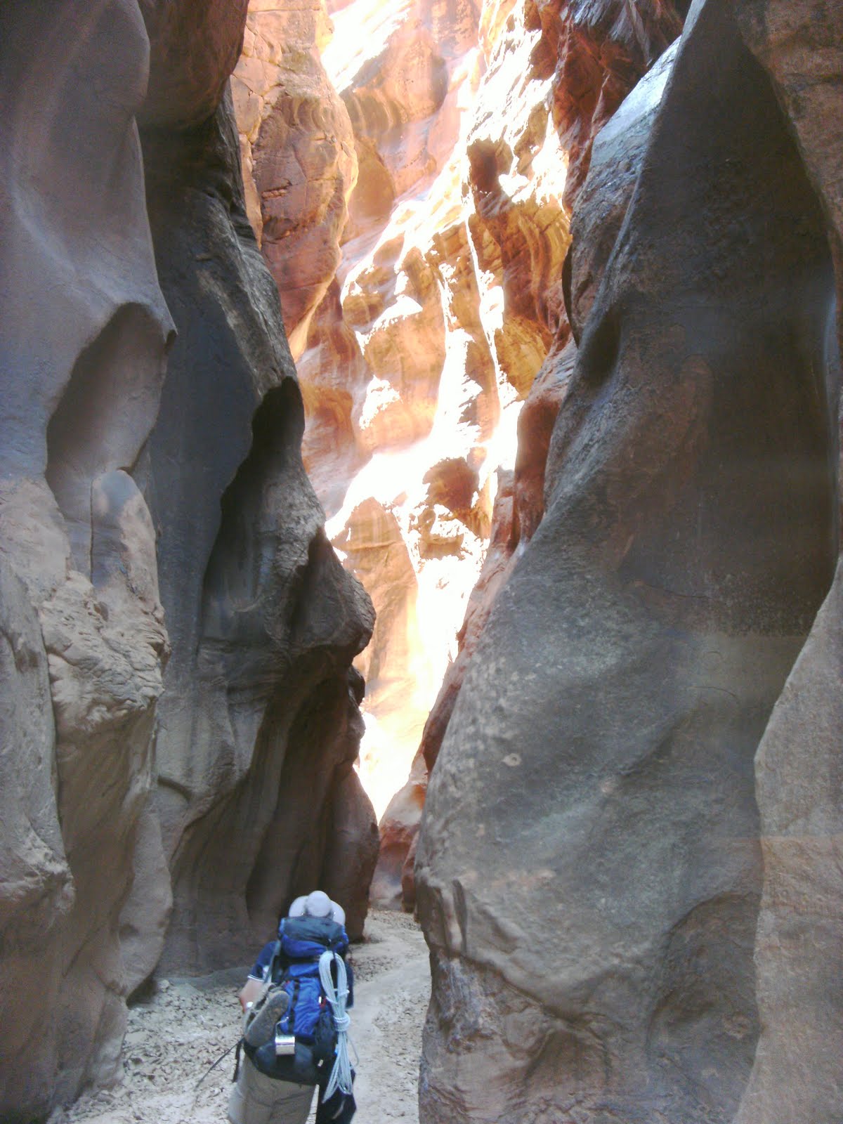
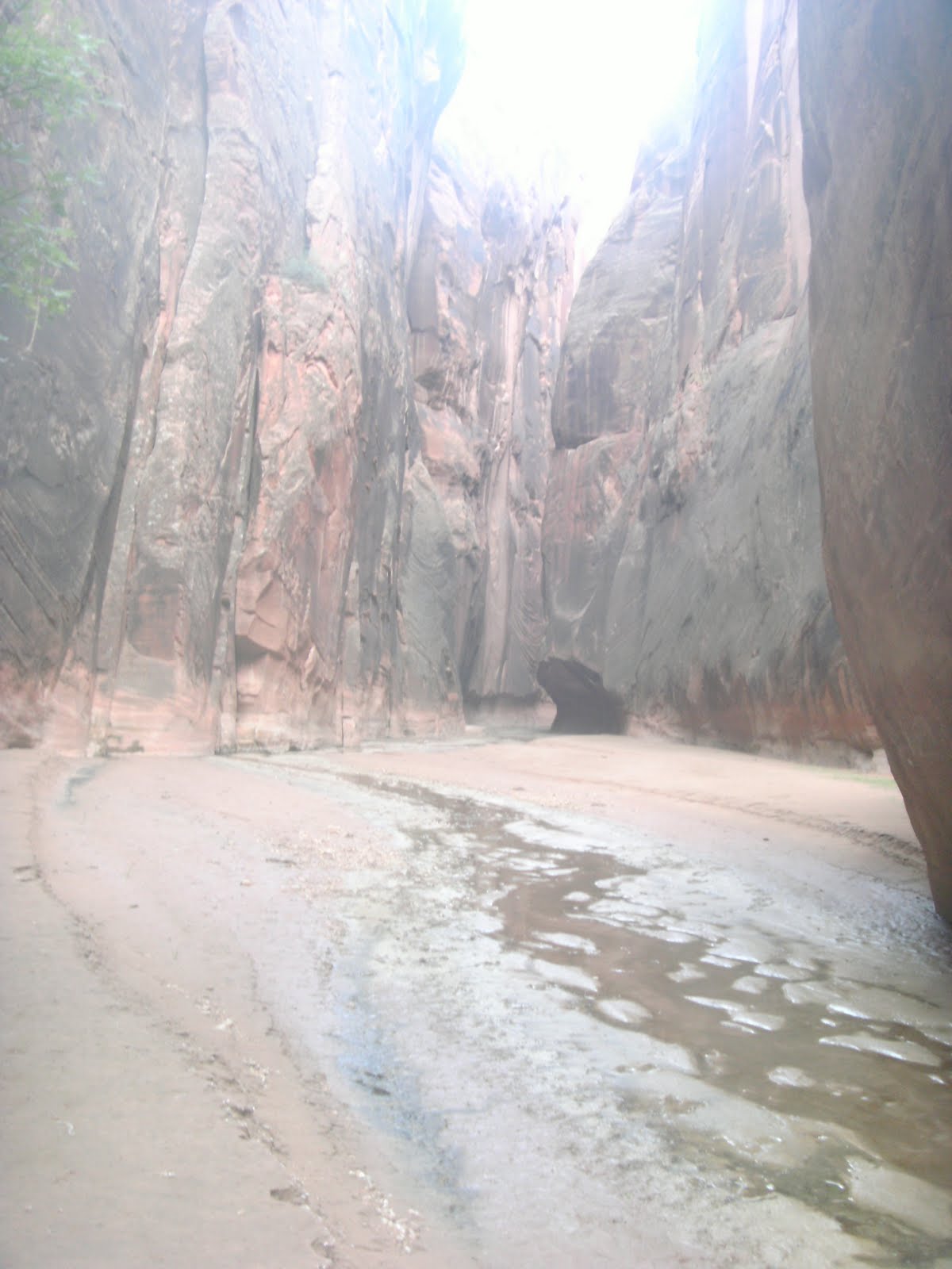
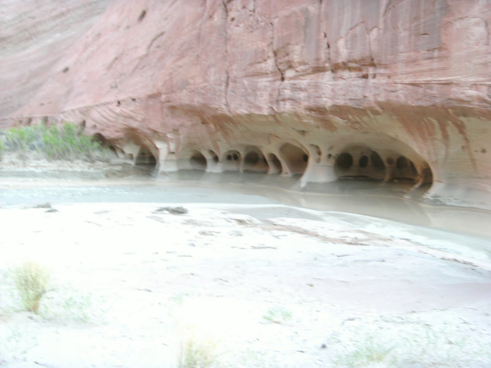
We took our first break at the confluence of Wire Pass and Buckskin gulch 1.7 miles in and continued from there. The sights were amazing, Sheer cliff wall, undulating walls like waves stood on end, Logs and debris lodged into the canyon above us, a Tarantula, Thousands of moth wings littering the floor, small plants, Lillis and even a dead mouse in the middle of the trail that I almost stepped on to name a few.
Big Spiders

Dead Mouse (RIP)
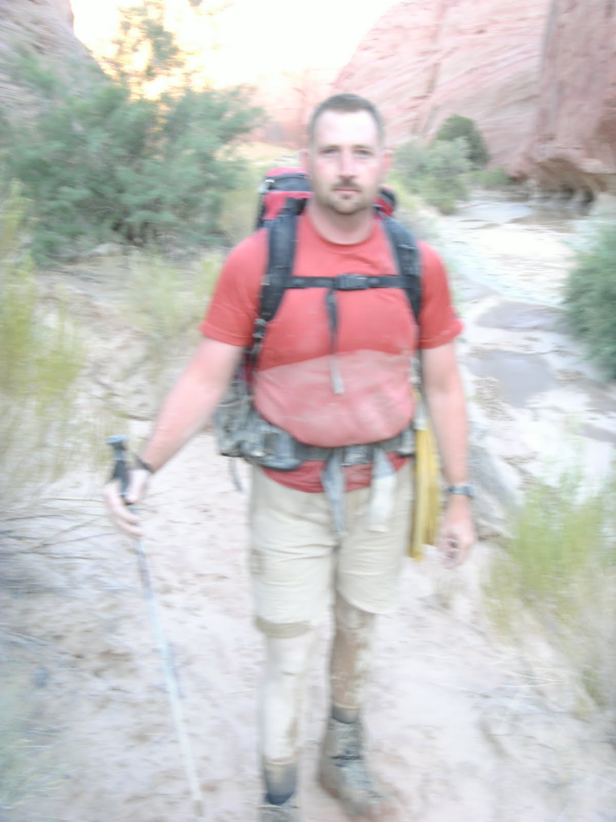
Sam at the first of MANY water crossings
At this point we thought the mud was nasty
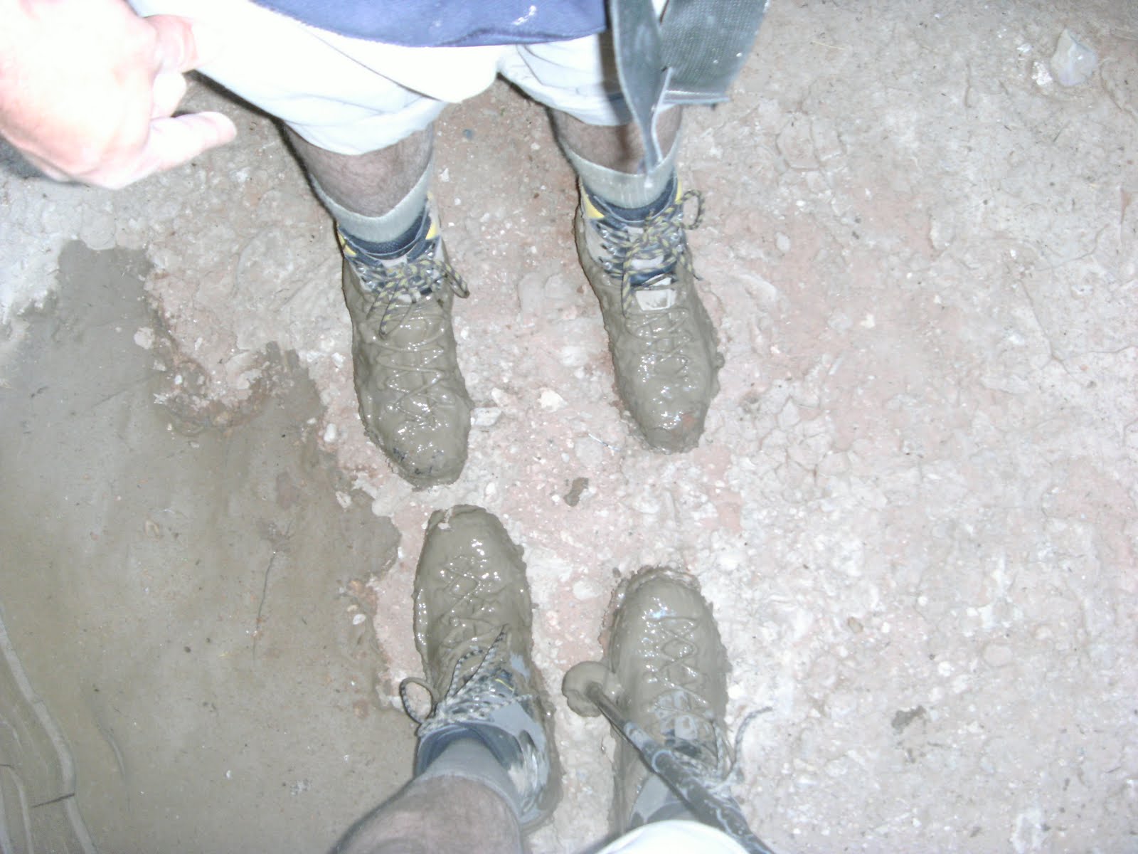
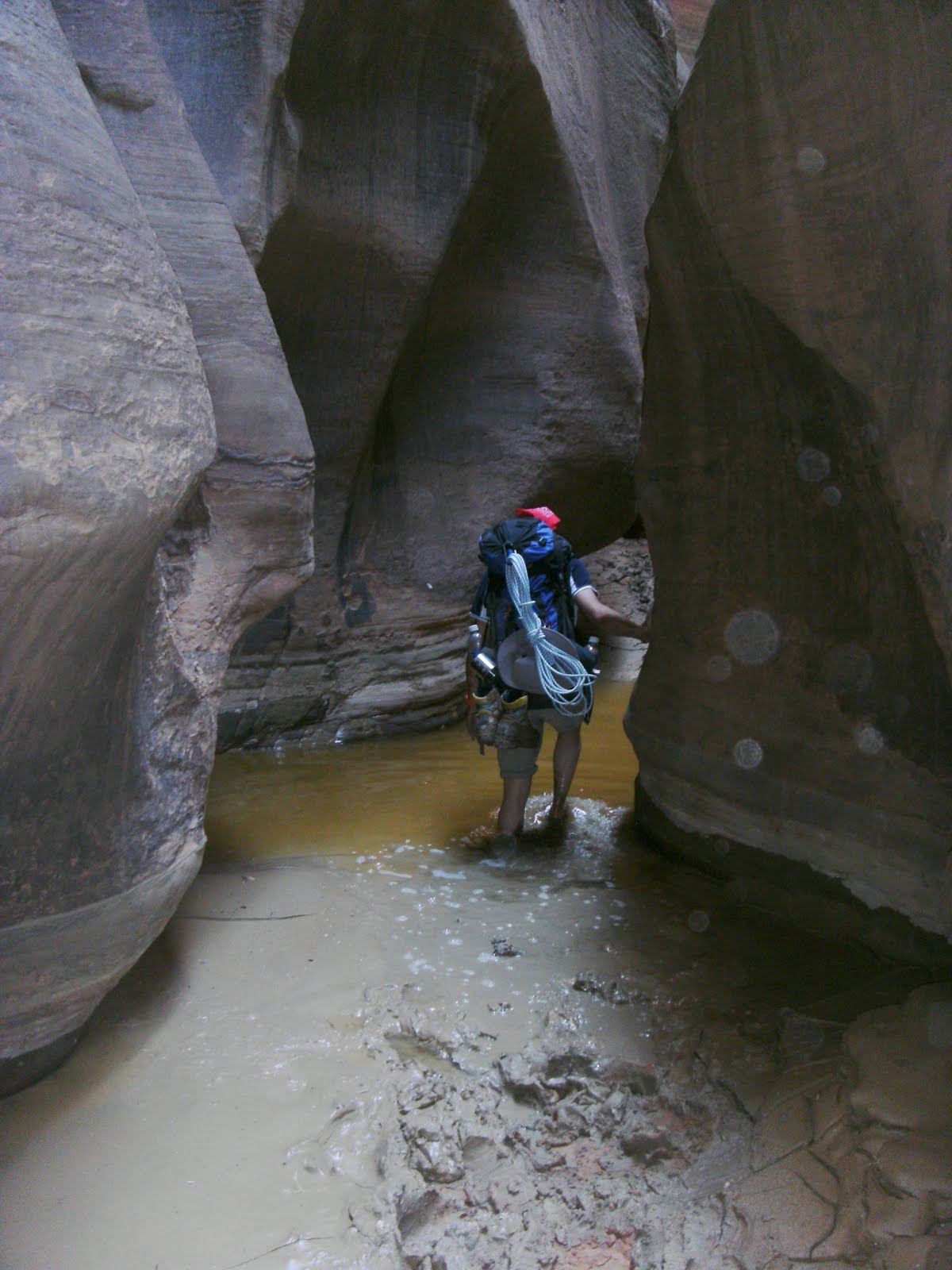
After the first water crossing we quickly learned that Teva type sandals were the wrong choice of footwear. Though great when you were in the muck as soon as we were out and walking along the cobble floor the thick layer of slimy mud between our feet and the sandals caused our feet to slip in the sandal. After a number of incidents and some nasty ankle twists and strains we decided that for better or worse our backpacking boots were the best option if we didn’t want to kill our ankles.
We figured out shortly after this picture was taken that we had “slightly” overestimated our distance traveled. With Topo maps useless, GPS useless we had relied on what our normal pace would be and figured we were more than 3/4 of the way through Buckskin and that a large rock jam that is very definitive to being almost done would be just around the bend. Well around the bend I noticed that where we were was exactly how the Middle Trail escape route had been described. We had fallen pray to the splendor of the trail and had seriously lagged. DOH. This wasn’t a big deal at least we now knew where we were in the trail so we picked up the pace for the next hour and made it to the rock jam covering 3.5 miles in that hour.
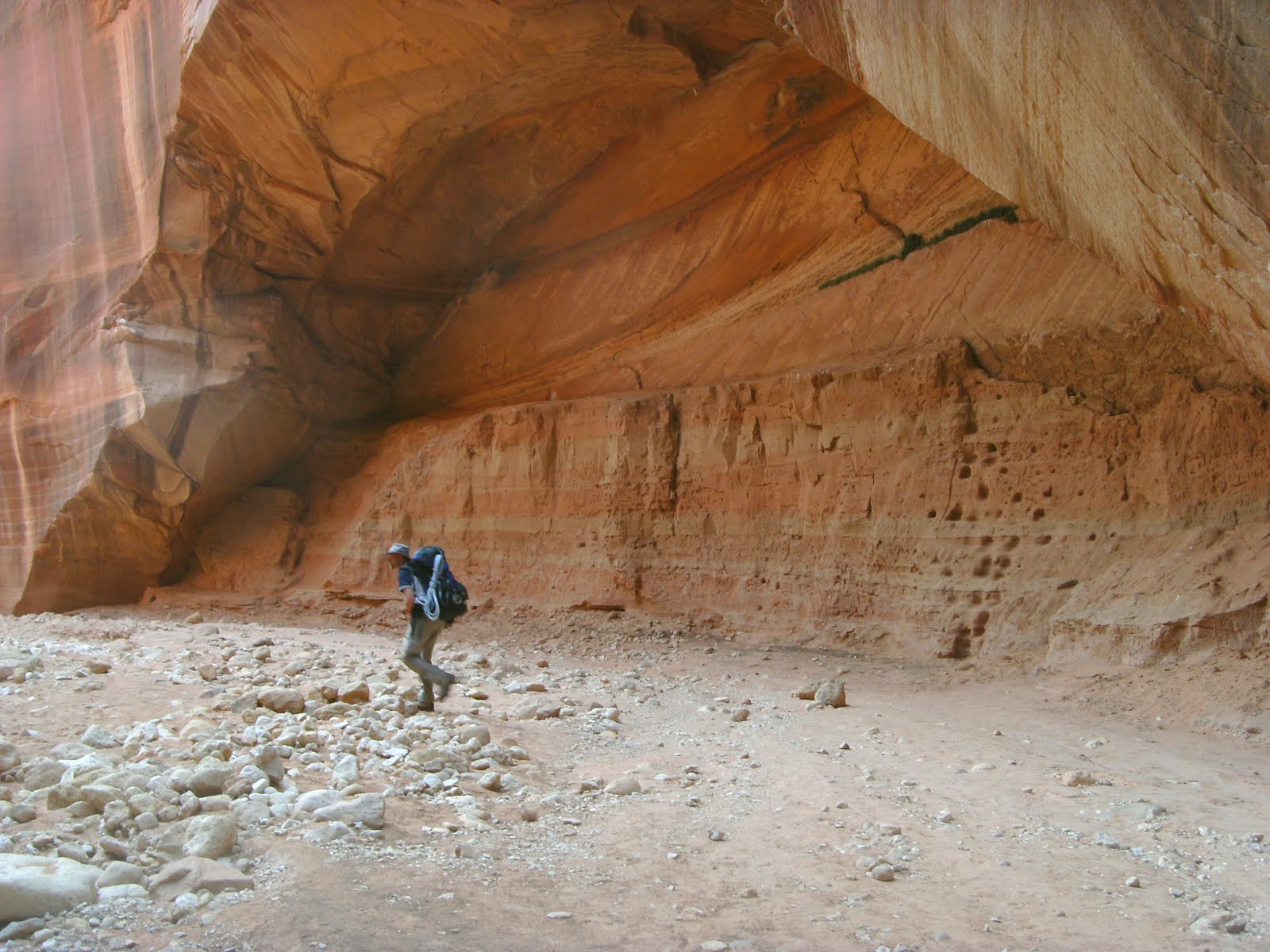
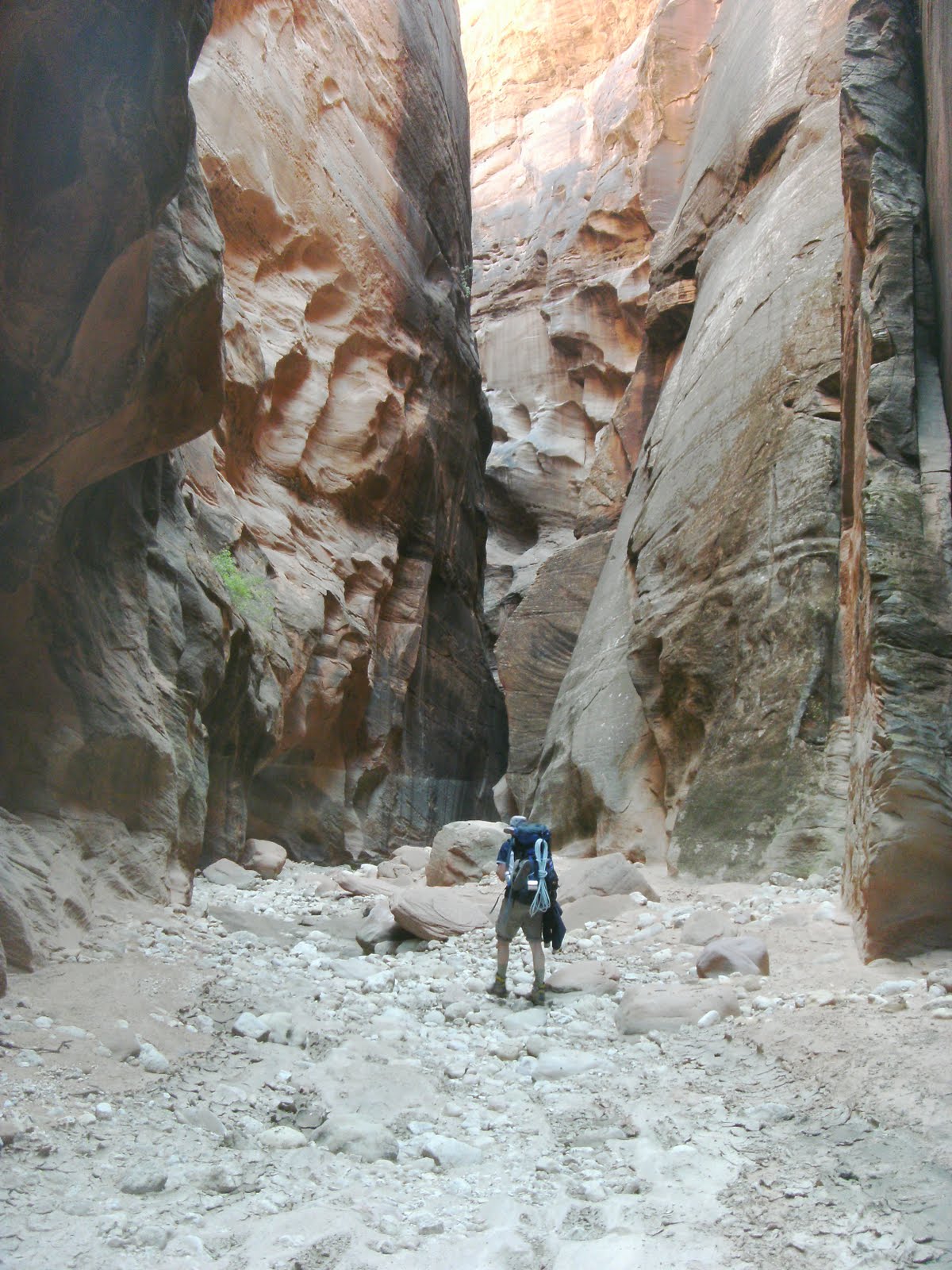
We used hand lines to get down the rock jam and continued hiking towards the confluence. The final few miles would show themselves to be some of the wettest and hardest of the day. Coupled with the fact that we had already hiked 7+ miles at this point the mud began to get deeper and deeper and the pools of water on top the same. Sometimes with mud up to our knees and water above our belly buttons (remember we are both over 6’3″).
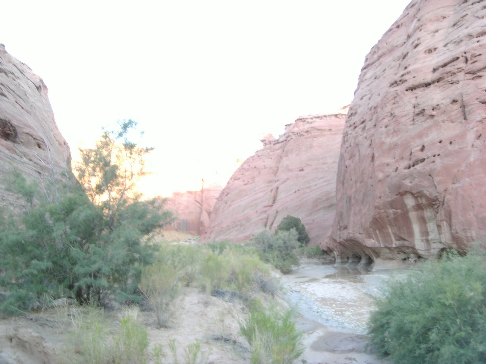
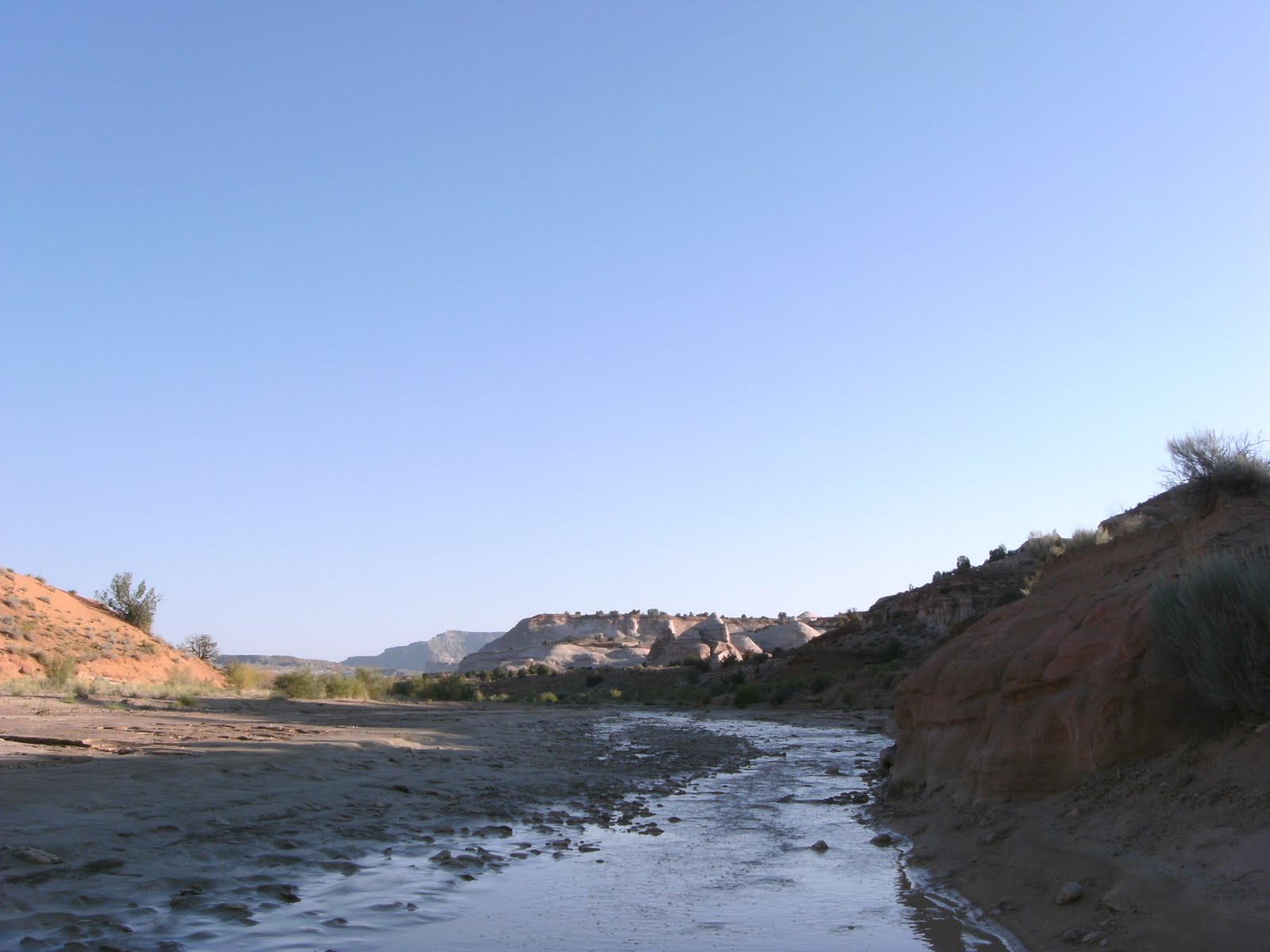
We finally made it to the confluence into the Paria river only to find that the Paria was so silt laden from the recent flood that extracting any water from it was going to be futile (we tried and even with pre-filtering with some socks we filled 2 socks with silt and gave up knowing it would only plug the water-filter rendering us waterless) and had to head back up Buckskin to some of the clearer pools of water. We had originally started with more than enough water for both days but due to 3 water mishaps during the day (my water bladder leaking in Sam’s car in the morning, The nipple pulling off my water bladder on the trail and spilling a gallon of water while filling water bottles at one of the stops) we had to get water else we would be very dehydrated on the hike out in the morning. After getting some water the sun was almost down and we set up a camp on a small sand bar just north of the confluence and tried to sleep through the night yet having a hard time not talking about just how cool what we had just come through was.
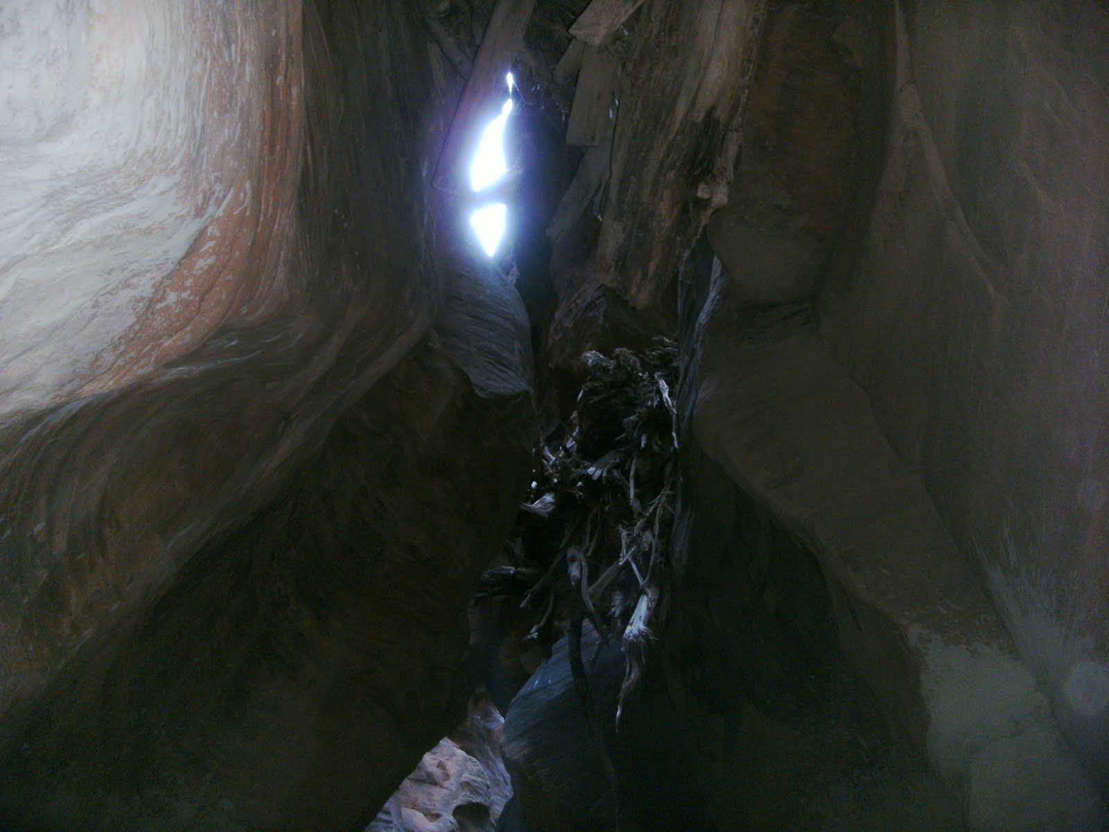
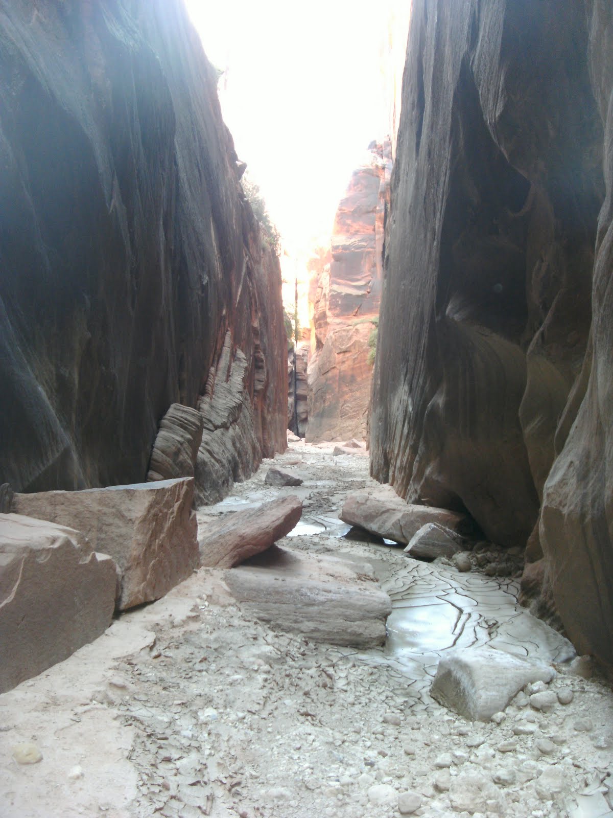
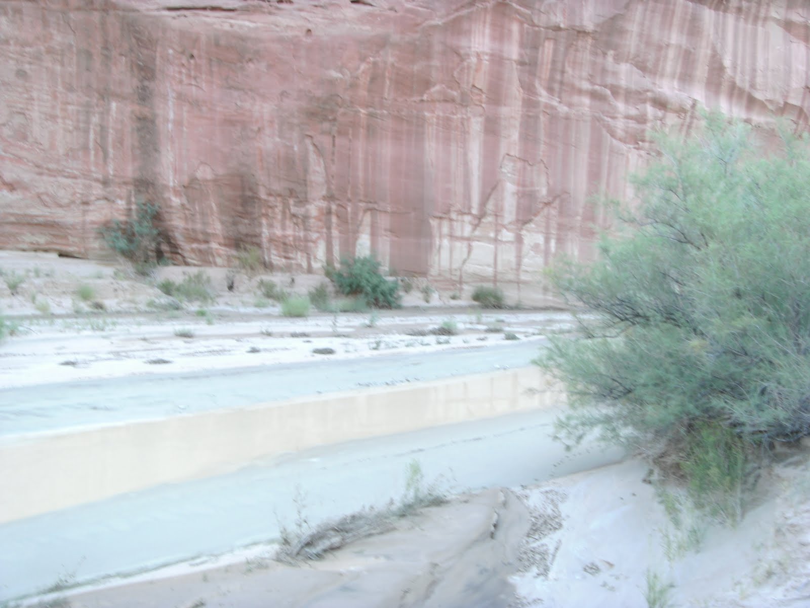
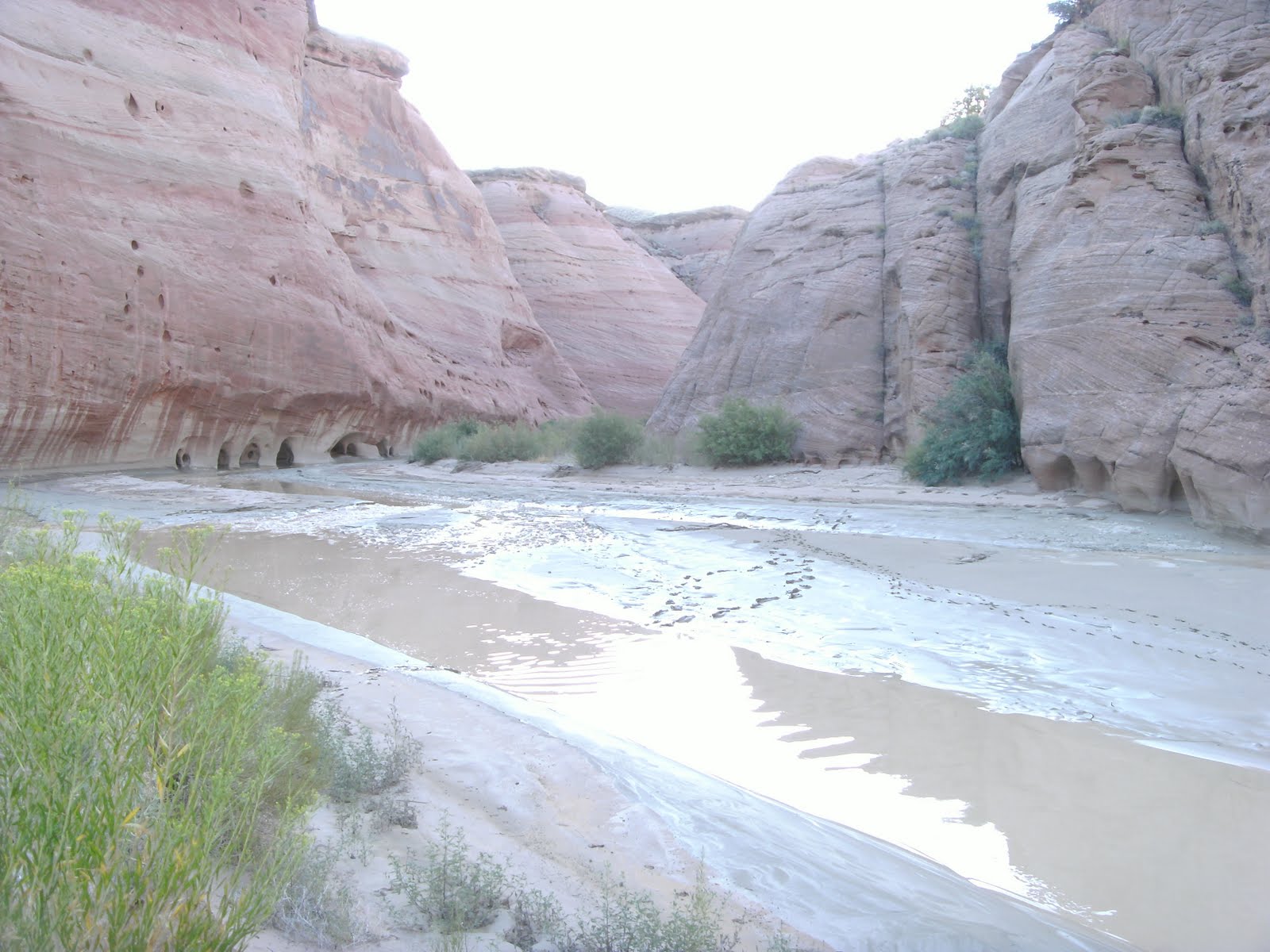
parting shot of Buckskin Gulch
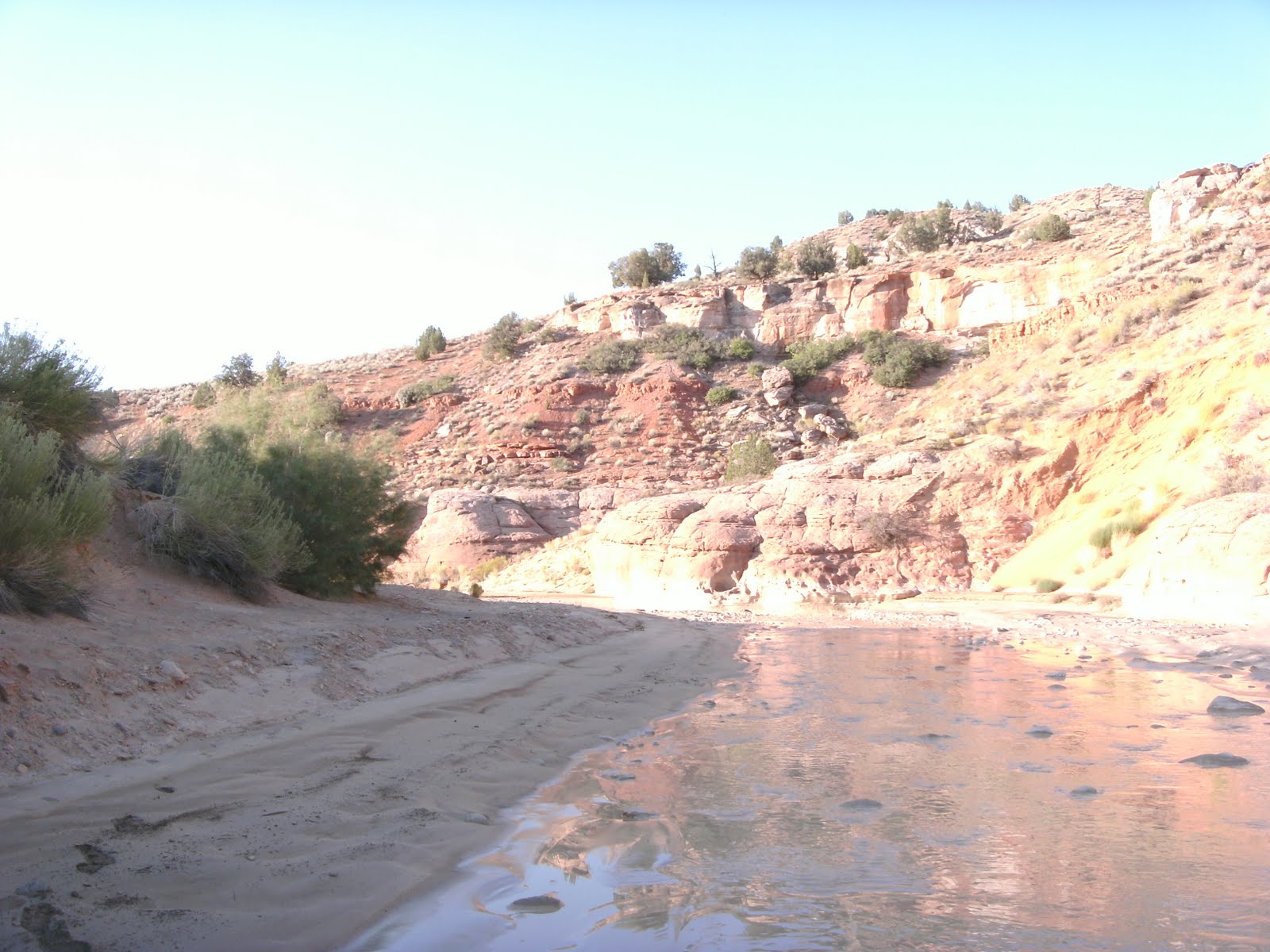
Sunday morning came upon us early and we were packed and hiking up the Paria by 4 AM. Both Sam and I have spent plenty of time hiking at night with headlamps but this was a bit different than your normal Alpine environment.
Imagine you have a 25 Lbs pack on your back (this will become more as soon as it gets wet and it will), Your boots are full of water and now you have to cross a river so full of muck that the ripples that would normally be prevalent to show you features under the water are softened by the silt in the water, you start on a soft sandbar stepping down onto a thin sheet of clay that acts like ice for a few feet then you step into 6-12 inches of overly wet clay that sucks your feet in, now step into the river this step and any other in the river could be from 3 inches deep to 5 and a half feet deep. now that you are in the river go to the next sandbar with the same features as the last. Repeat every 30-40 feet. This whole time you only have enough light to see 15 feet in front of you well. your eyes start to burn from the strain over time… ya this was the first 2.5 hours of our morning.
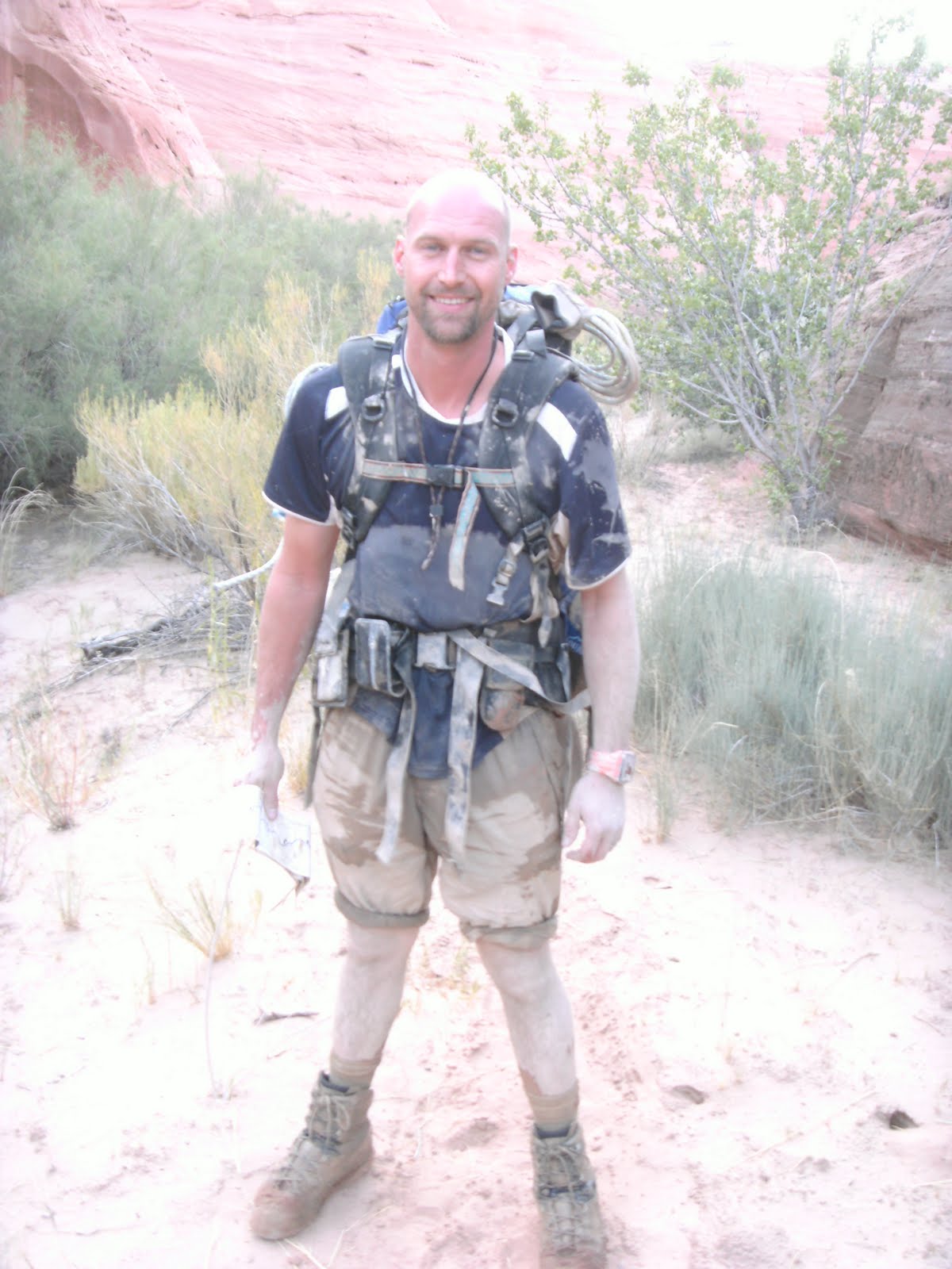
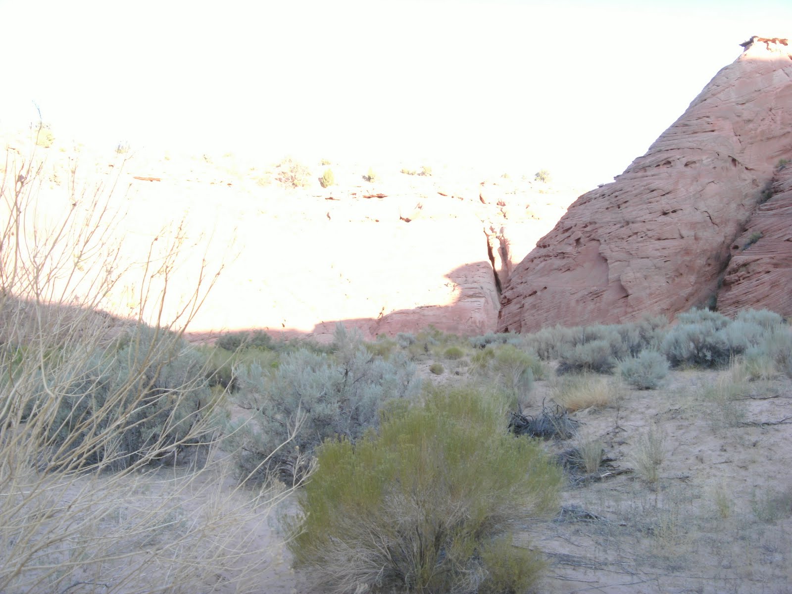
When the sun came up the canyon also started opening up letting us know that we were about 3 miles from the end of the trail so we had made good time. We took a break had some coffee and a snickers bar and headed back up the river. Things got easier from here with more time spent on larger and larger sand bars and less river crossings until we finally made it back to the car. Glad to be able to rinse off some of the Alkali laden silt on our bodies that was starting to burn a little bit…
Both Sam and I agree this was one of the most difficult hikes we have done. from reading other peoples experiences our 10 hour trip through buckskin is not that uncommon but the recent flood caused us a lot more physical toil that was normal for the hike at the end of Buckskin and up the Paria.
In the end this was a GREAT adventure. Would we do it again? Yes we were already talking about doing this again but hiking all the way down to lees ferry (3 more days) next year.