- Joined
- Jun 25, 2012
- Messages
- 4,433
Thanks for the document. I've had trouble finding it. From where is it linked if you don't mind?They keep it updated here:
https://www.wcc.nrcs.usda.gov/ftpref/data/water/wcs/gis/maps/west_swepctnormal_update.pdf
Follow along with the video below to see how to install our site as a web app on your home screen.
Note: This feature may not be available in some browsers.
Thanks for the document. I've had trouble finding it. From where is it linked if you don't mind?They keep it updated here:
https://www.wcc.nrcs.usda.gov/ftpref/data/water/wcs/gis/maps/west_swepctnormal_update.pdf
The mosquitoes are going to be fierce in the high country this year...
Where's the unlike button when you need it?!
Sent from my iPhone using Tapatalk
2010-2011 was not that bad of a year in regards to the skeeters. We did not even get into the high terrain snow free till late July that year. The season started so late up there the skeeters never really had a chance to get going. Last year was one of the worst July's I have ever had up there for skeeters. Maybe this year they will just not have enough time to get going. Its going to depend how fast we warm up and how fast the snow melts off up there.
@Artemus what is your source for these documents? I'm floating theIt is coming off fast. Especially the southern half of the state....View attachment 54188
Nice!!!Just got back from a North Slope Road recon... snow at 10,000 ft just short of Elizabeth Pass. More details when I get home.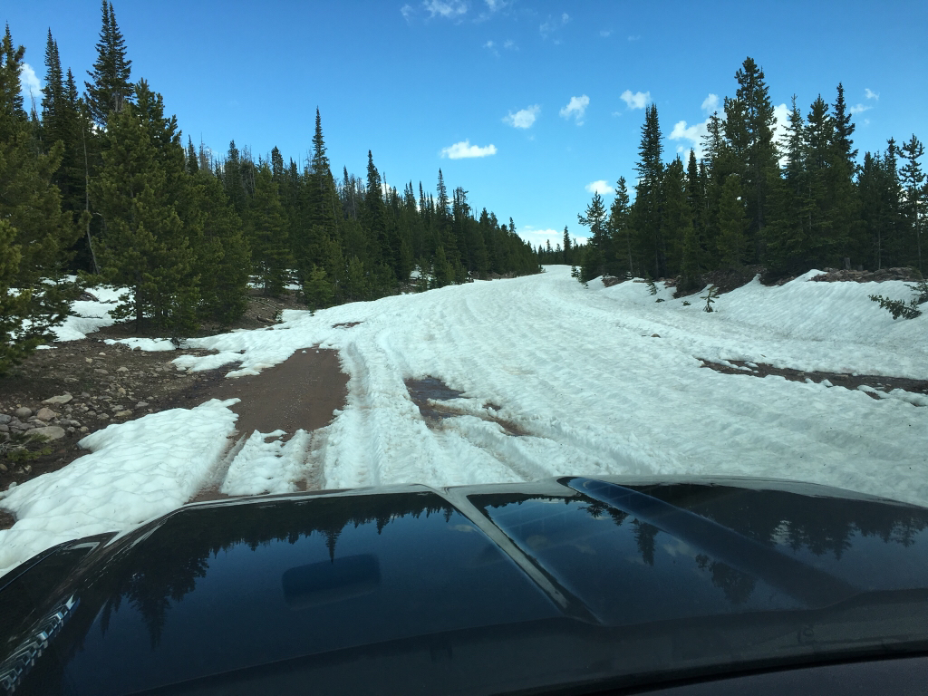
Sent from my iPhone using Tapatalk
Thank you Art! If anyone is interested I THINK I found the source. Just type in the river you want and you'll find monthly reports in PDF. Within those reports I found a similar map. Thanks again.The source for that post you quote is a strange one. I got it from Nick and here is that reference from earlier in the thread "I'm not sure. I just google 'Western Snowpack'. It's the second link, strangely not the first one that says 'map'."
Unfortunately this water agency doesn't keep the map up to date outside of snow accumulation season. Perhaps you would be better off with the snow models referenced in this thread of the American Whitewater river flows page? Let me know if you can't find these other sources here.

