THE GREAT DIVIDE
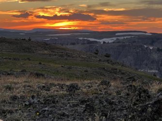
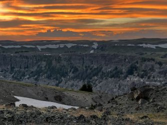
We broke camp early the next day. It was a gorgeous morning, with beautiful clouds. We enjoyed a colorful sunrise and a few final views of the waterfall below. We returned to the trail and headed back east. We made good time until we found ourselves above Lost Creek. This was the optimal area to leave the trail and head cross country towards the Continental Divide. We descended steeply to Lost Creek. After hunting around for a few minutes we found a spot where we could rock hop across. On the far side we climbed steeply to access a grassy ridge running east towards the Continental Divide. The ridge climbs fairly gently, and we made good time on the initial ascent. We enjoyed incredible views in every direction along the way.
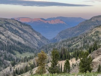
Morning light from our campsite
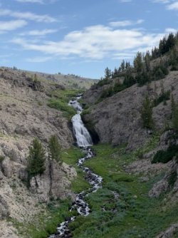
Parting view of our waterfall
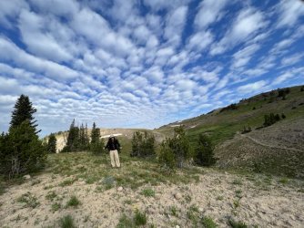
Larry leaving our campsite
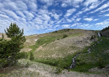
Parting view of our waterfall
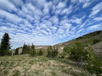
Beautiful clouds above our campsite
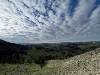
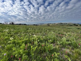
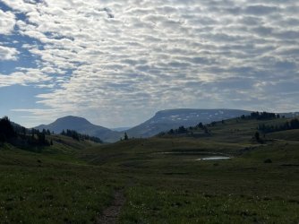
Amazing clouds
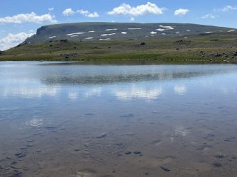
Tarn just below the Continental Divide
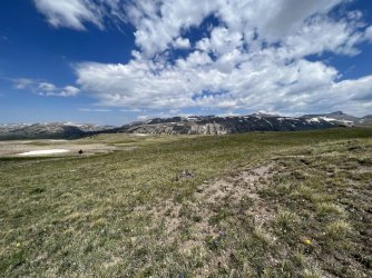
Larry climbing towards the divide
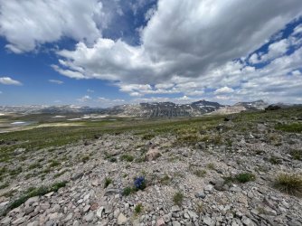
Huge view from the Continental Divide
At that point we had the toughest part of the day behind us. After lunch we followed the Continental Divide south, enjoying mostly easy hiking. The terrain was gently rolling for the most part, and the footing was good. At times, we found it easier to avoid talus and scree by walking across snowfields. The navigation was pretty straightforward, though it was surprisingly easy to drift off of the Continental Divide. That happened occasionally, but it didn’t really matter. We just tried to stay close to it.
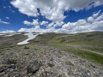
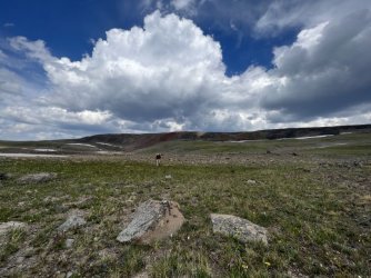
Along the Continental Divide
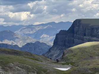
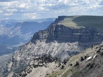
Wall Mountain
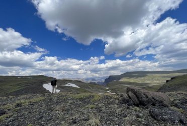
Larry taking in the view
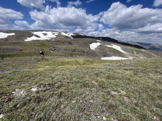
Larry on the Continental Divide
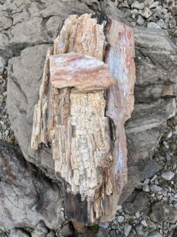
Petrified wood on the Continental Divide
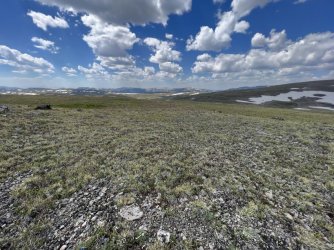
Big Sky Country
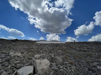
Larry hiking the Continental Divide
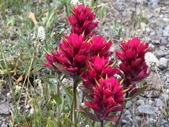
Paintbrush
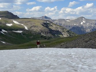
Larry hiking the Continental Divide
My original plan had been to camp near the Divide below Wall Mountain. The goal was to spend the following morning hiking to Wall Mountain’s summit. However, we had to sacrifice that side trip when we decided to hike out a day early. We did look for a possible campsite in that area anyway, but we didn’t see anything appealing. We continued on, and before long we spotted a beautiful alpine lake at the head of Bliss Creek far below. That seemed like a it might be a good place to camp, so we headed that way. We descended steeply from the Divide and ended up on a bench about 100’ above the lake. The bench ends in a sheer cliff. We could have worked our way around it and down, but the bench itself offered great camping options. There was a small stream nearby, and great views of Wall Mountain, the lake, and the Bliss Creek valley. It ended up being one of the best campsites of the trip.
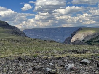
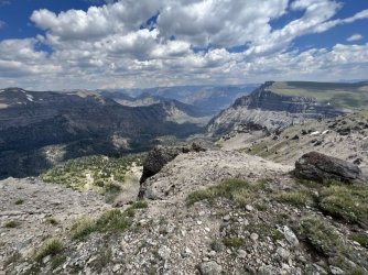
View from the Continental Divide
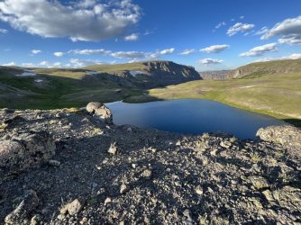
View from our campsite of an alpine lake at the beginning of Bliss Creek
I got up late that night and was treated to a spectacular star show. Even the Milky Way was visible. I attempted a few photos, but that was challenging with a phone and without a tripod.
THE GREAT DIVIDE
I was up for a lovely sunrise the next morning. During breakfast I heard coyotes singing, and later we heard an elk bugling. We broke camp and climbed back up to the Continental Divide. From there, we enjoyed mostly easy hiking again, following the divide south. We were treated to another morning of non-stop views and pretty clouds.
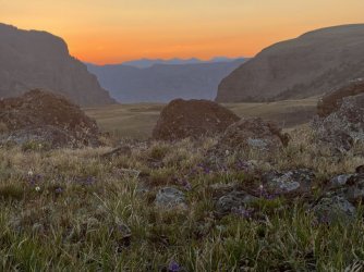
Sunrise from our campsite
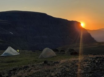
Sunrise from our campsite
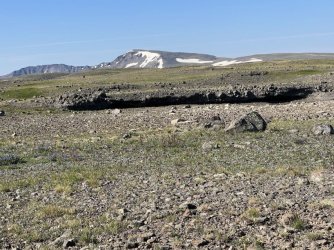
Weird rock feature
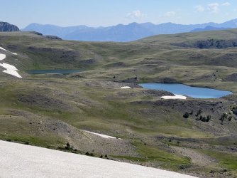
Alpine lakes below the Continental Divide
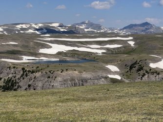
View back towards Younts Peak
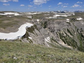
Amazing snow cornice
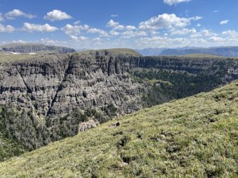
Interesting geology
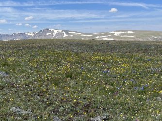
Alpine wildflowers
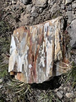
More petrified wood
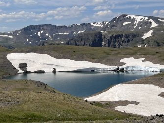
Crescent Mountain beyond Lake 10,445'
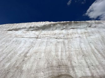
Giant wall of snow
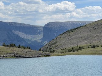
View across Lake 10,445'
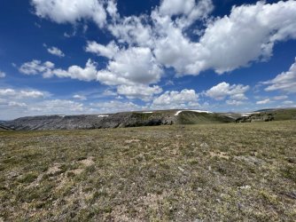
View from the Continental Divide
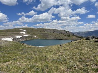
Lake 10,445'
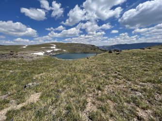
Lake 10,445'
First though, we had to tackle one of the more difficult sections of the route. After leaving the lake we followed the Divide west. We descended steeply into a gap and eyed up the route ahead. The Continental Divide follows a very steep ridge through bands of cliffs. Fortunately, there is actually a beaten path that veers a bit north of the Divide, avoiding the worst of the cliffs. It was still a tough climb with a lot of loose scree, but it wasn’t nearly as bad as I feared. From there, easy terrain led to the base of Crescent Mountain. We dropped off the Divide there, contouring around the west side of the mountain. There was still a lot of talus along our route, so I’m not sure if it was much easier. Some people have trouble navigating this stretch, as it is easy to drift too far west and too far downhill. We fought against that by trying to maintain the same elevation as we contoured around the mountain.
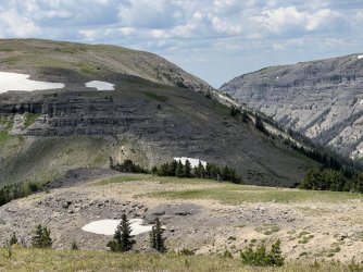
A steep trail winds around to the right of that band of cliffs
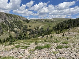
Looking back
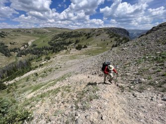
Larry climbing the steep trail
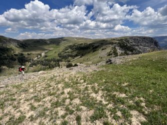
Larry climbing the steep trail
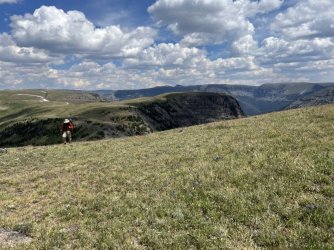
Larry climbing the steep trail
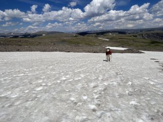
Larry crossing a snowfield
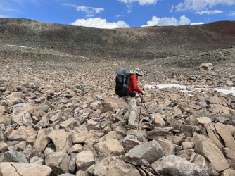
We avoided the talus on Crescent Mountain by hiking through the talus below it
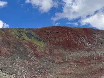
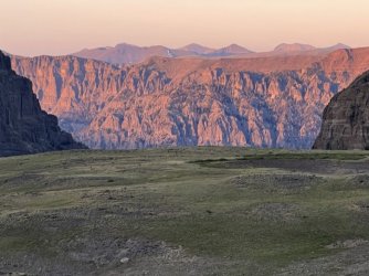
Crescent Mountain is very colorful
The weather was a little threatening that afternoon. There were a lot of thunderheads building, but most of them missed us. We did get a brief sprinkle, which was enough to make me put on my rain gear. As soon as I accomplished that, the rain stopped, the sun came out, and the temperature went up about 30 degrees.
We rejoined the Continental Divide southwest of Crescent Mountain. A long descent followed, ending in a gap separating the headwaters of the South Fork of the Buffalo from the headwaters of Perry N Boday Creek. I had originally planned to camp at Perry N Boday Lake, but that was a mile out of the way. The weather had cleared, so we decided to continue along the Continental Divide.
A big climb followed. We turned south and continued on the divide, but then left it by taking a shortcut to the southwest. We crossed a small stream and continued west, wandering among small hills and gullies. My rough goal was a tarn farther west, just below the Continental Divide. However, we stumbled upon a smaller, unmapped tarn a bit sooner. It was getting late, and there was a grassy area near the tarn that was adequate for camping. It wasn’t a great spot, but it had a nice view, and we were serenaded by frogs that night. We were also treated to a spectacular sunset right from our campsite. I wish I had known that there was an absolutely spectacular place to camp a couple of miles farther west, but we didn’t discover that until the next morning.
Note - the attached maps show the route I planned, which we changed a bit on the fly. I didn't record a track (it takes too much phone battery) or redo the maps.
Attachments
-
Day 10 Part 1 Ferry Lake to Continental Divide below Wall Mountain.pdf1.1 MB · Views: 17
-
Day 10 Part 2 Continental Divide and side trip to Wall Mountain.pdf890.7 KB · Views: 13
-
Day 11 Part 1 - Continental Divide.pdf880.9 KB · Views: 12
-
Day 11 Part 2 - CD to Perry N Boday Lake.pdf893.9 KB · Views: 15

