- Joined
- Aug 21, 2018
- Messages
- 735
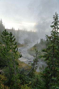
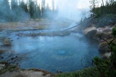
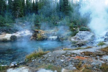
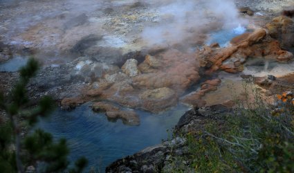
Well, @scatman posted his version of this trip, now its my turn. 
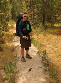
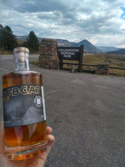
After our warm up hike to Aster Lake the day before Hugh and I would be meeting @wsp_scott by a deadline of 9AM at Yellowstone's Lone Star Trailhead. We drove over from the Old Faithful area a bit early and found Scott sipping coffee in a prime parking spot. I had somehow convinced Hugh to let me hang out with him last year. . . I suppose he is a glutton for punishment as he agreed to let me tag along this year too. This was our first time meeting Scott and first impressions on our end were good; he appeared to be the type of person that could put up with the conditions on the trail. I'm not sure what his first impression was of us, but I presented him with a bottle of Buffalo Trace Bourbon Whiskey as a trail-warming gift to gain his favor. I'm not against a little bribery.
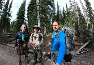
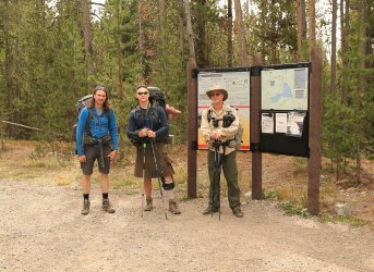
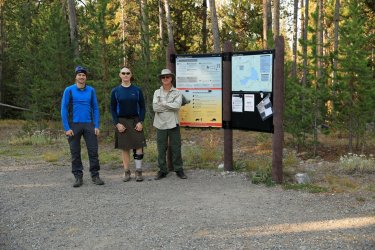
I tend to be a picture taker (so this may be a very long report from an image standpoint) and Scott found that out right away with a group pic at the trailhead.
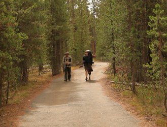
After the introductions were over and 9AM had come and gone we hoisted our packs and headed down the trail towards Lone Star Geyser. The first couple miles of trail is actually an old park road that is closed to cars but open to bicycles. We made good time easily walking three wide on the path that follows the Firehole River a good portion of the way.
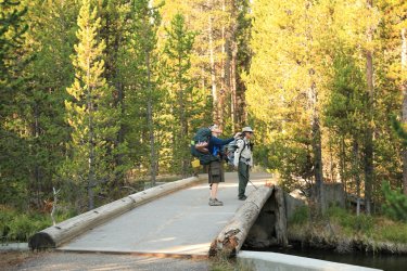
Crossing the Firehole early on.
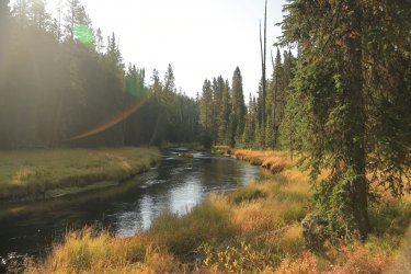
Firehole River under the morning sun.
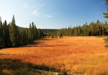
Near the geyser the trees part for a nice meadow view.
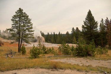
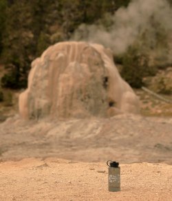
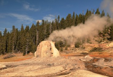
Lone Star Geyser erupts regularly on a three hour interval. We were (un)lucky enough to catch the last bits of steam from an eruption that took place just before we reached it. We did get to chat with a group that were employees of the park and had stayed at 8R5 -- the campsite at Shoshone Lake to which we were headed. Hugh shared with them stories of Scatman Lore and gave them a few hints/tips/future hiking destinations.
Lone Star in Steam.
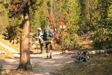
After the last puffs of steam had passed we continued on as the trail turned to dirt. The trail marker where the Shoshone Lake Trail and Howard Eaton Trail meet. Its not too late to turn back Scott!
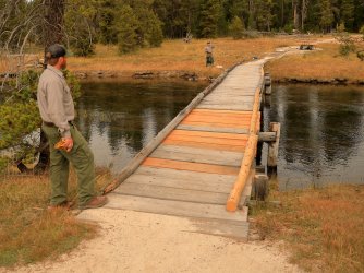
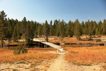
Foot bridge for a second crossing of the Firehole River.
I last walked this trail two years ago. There have been some improvements since then in the form of a new wooden walkway over one of the squishy areas holding several small hot springs.
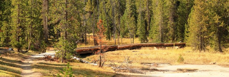
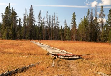
Then there were areas that looked like they could use a little help. Step in the wrong place on this boardwalk and you'll end up going thru it. We did not let a little red tape deter us though and took our chances.
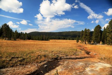
The miles went quickly and we passed by campsites OA1, OA2, and OA3. This was a nice view from the trail of a meadow somewhere South of OA3. Shame there are not some bison out there munching.
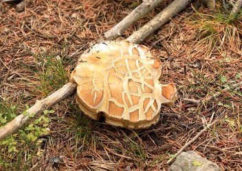
September must be a good times for certain mushrooms in Yellowstone. Fungus was among us in many areas along the trail, this was just one example of a large specimen.
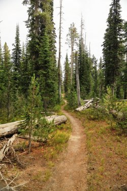
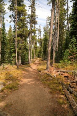
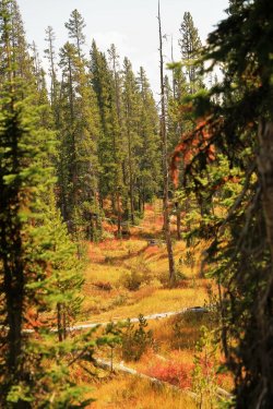
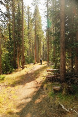
The Shoshone lake trail gradually climbs up forested slopes to the continental divide at Grant's Pass. There is no official signage or view on the precipice as you are surrounded by trees. Every now and again the trees would open for a small meadow or drainage and we could catch views of the autumn colors on display.
Scott proved to be a worthy companion and could be found taking point position often. Perhaps he was just trying to get away from Hugh and I.
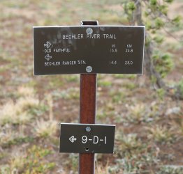
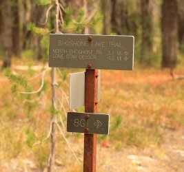
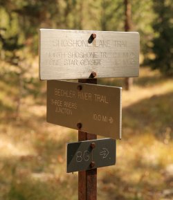
Trail Marker! We took a left towards Shoshone Lake. 8G1 was our first choice for tonight's campsite, but it must have been taken as the permit office assigned us 8R5.
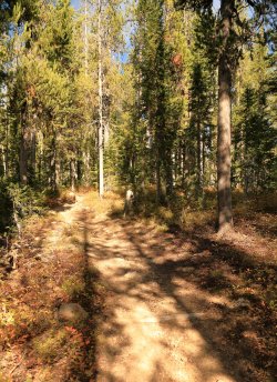
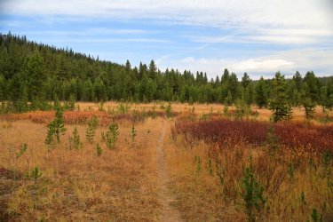
The trail to Shoshone Lake was more scenic (to my eye) compared to what we had just hiked thru. It started with a more open area.
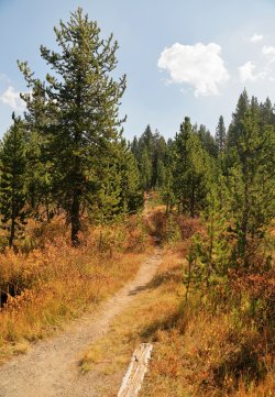
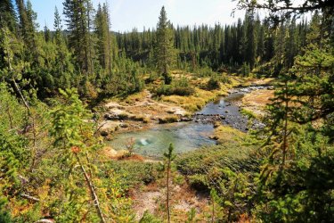
Then started to follow Shoshone Creek.
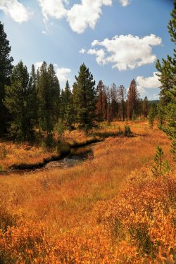
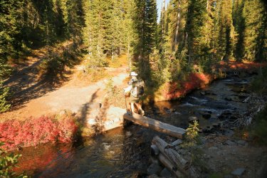
The trail would make three crossings of Shoshone Creek. The first crossing utilized a foot bridge. The second crossing has no bridge, but a nice log instead.
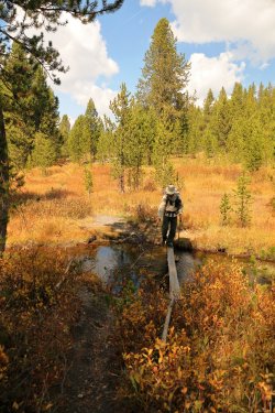
Author's view.
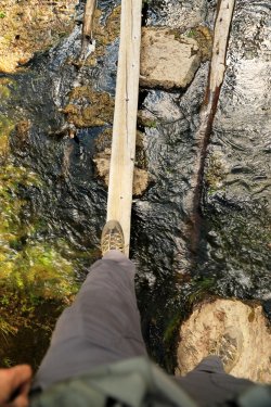
The third crossing also utilizes a log -- a much skinnier log over a wider section of creek. It is deeper than it looks! We all made it with dry feet.
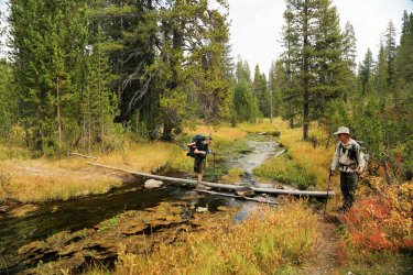
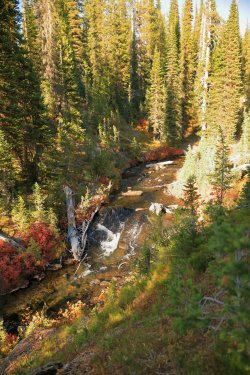
The next two miles were very scenic. September is my favorite time to visit the park and we were treated to a sunny day that was not too warm. The sun make Shoshone Creek sparkle and brought the yellows, golds, and reds of autumn color to life.
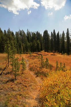
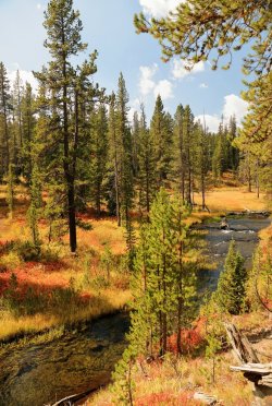
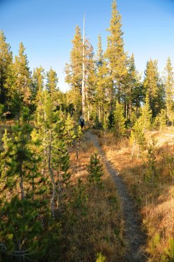
Scott still leading the way.
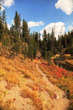
I told Hugh that I had probably taken pictures from these same viewpoints two years ago. Perhaps I should go back and see if any of the logs have moved?
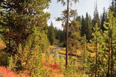
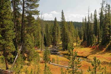
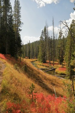
The trail ducked back into some trees and we could catch a preview of our destination for later -- the Shoshone Geyser Basin.
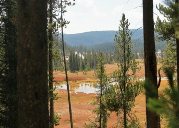
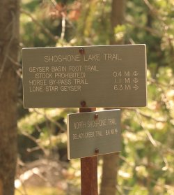
We took the left onto the North Shoshone Trail to setup camp before heading over to the geyser basin.
Guess who is in the lead this time? I'd been looking forward to visiting Shoshone Geyser Basin again and kicked into a higher gear.
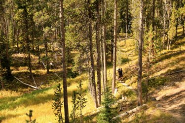
Spur Trail to 8R5. Quite a lengthy one at nearly half a mile!
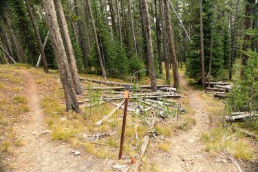
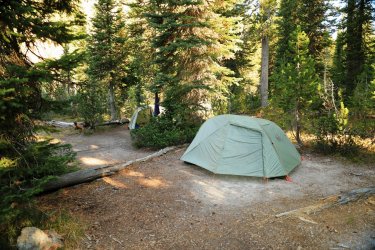
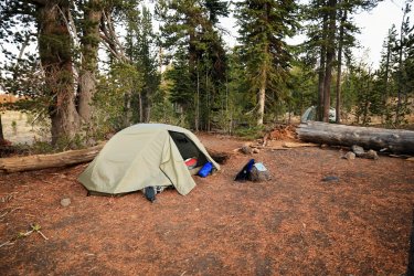
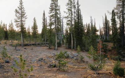
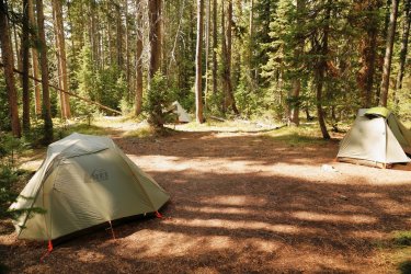
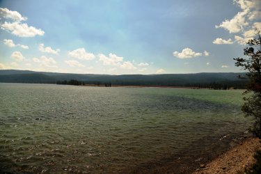
Home for the night. The tent sites for 8R5 are nicely sheltered in the trees but a short walk takes you to the shore of the lake and a nice open view.

All of our sites for the trip had pit toilets. No, I did not take pictures of all of them.
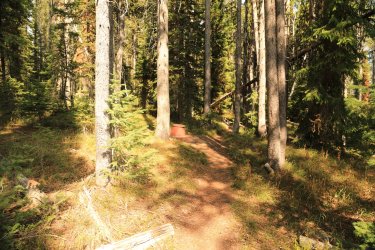
After a brief rest it was time to head over to the geyser basin. I left Hugh and Scott in my dust as I wanted to do a video walk thru of the basin -- preferably one without people in it. I returned the the trail marker and took the basin trail; once you leave the trees you cross a log path over a swampy area.
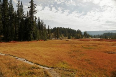
I accomplished my video walk-thru (I'll have to work on posting it one of these days). In doing so I did not stop to take any pictures from start to finish, instead I had to backtrack so some of my pictures will be out of order.
I had stopped my video at the dormant cones of Union Geyser. If I remember reading correctly it last erupted in the 1970s.
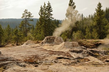
North of Union Geyser is Taurus Spring.
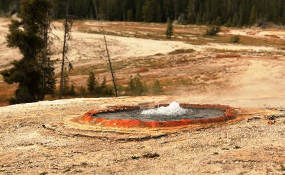
I managed to backtrack and catch up to Hugh and Scott at Minute Man Geyser. The guys were thrilled as I made them stand there for a group picture during an eruption. Can't you see Hugh smiling?
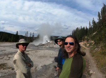
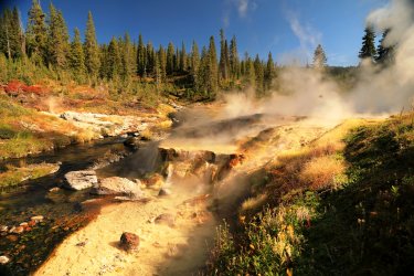
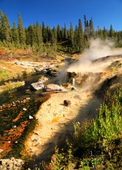
Some Minute Man pictures without the three amigos.
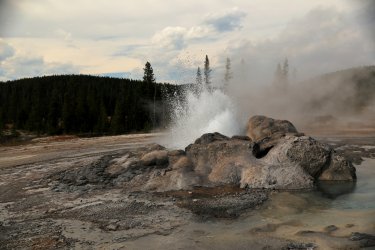
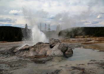
Hugh capturing the moment.
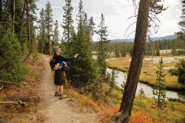
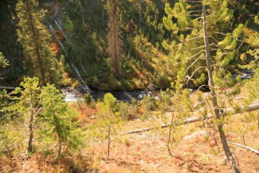
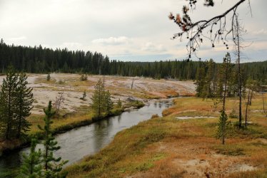
Looking North up Shoshone Creek.
There are several interesting features East of Union Geyser. I am not as well versed when it comes to their proper names, but Sea Green Pool and White Hot Spring are located in the vicinity.
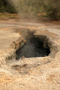
I chose to call this one the bottomless pit.
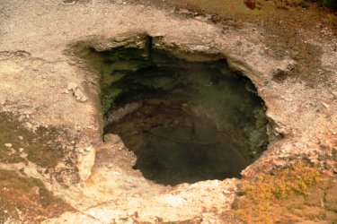
View of Union Geyser's cones from the South.
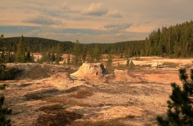
A few more thermal areas and features farther South near the trail.
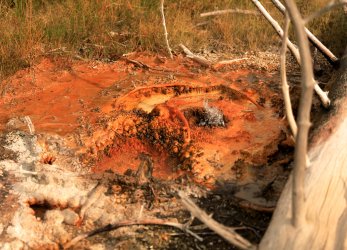
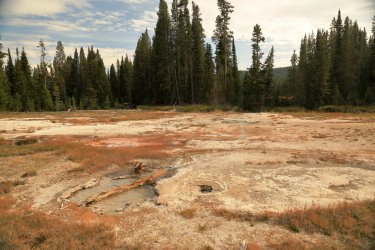
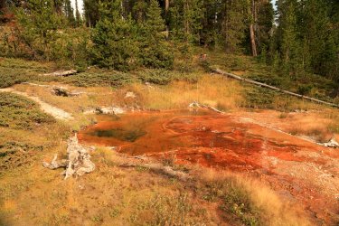
One of my goals of this visit was to cross Shoshone Creek to get a better view of some of the thermal features on the other side. I am well aware of the park service's policy of no off trail travel in the geyser basins. My plan was not to walk on thermal ground, but to stay on the grassy/forested areas and work a path Westward then Northward around the periphery of the basin. Some may still frown upon this as bending or breaking the rules, but I have the utmost respect for these delicate areas and wish nothing more than to see them / take photographs. The park's policy was put in place due to visitors vandalizing thermal features -- I would never dream of such an act. The elk and bison would probably do more damage than what we were about to undertake.
So with that, we made a crossing of Shoshone Creek somewhere South of Union Geyser.
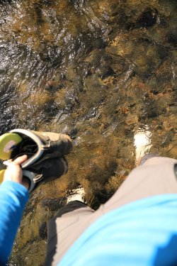
I almost forgot, I was making this part of the hike in Crocs and Socks!
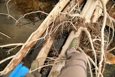
A view up Fall Creek, which flows into Shoshone Creek.
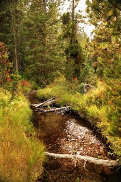
Across the creek are several features that I believe are in the Island Group.
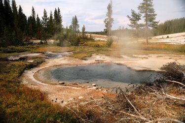
What follows are pictures of features from the Western Group. I do not know the name of every feature, just some of the bigger ones.
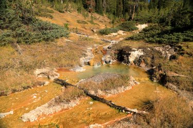
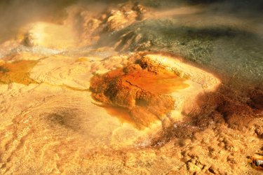
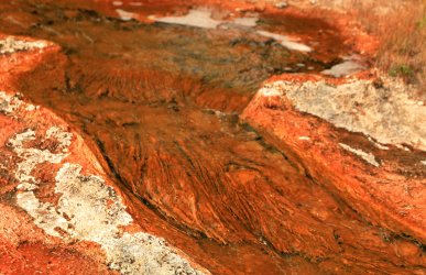
Colorful Bacterial mats in intricate runoff channels.
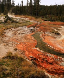
Possibly Pectin Geyser?
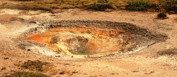
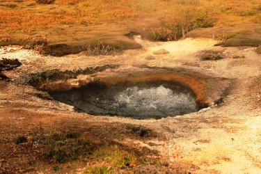
One of the more impressive features is the Boiling Cauldron.
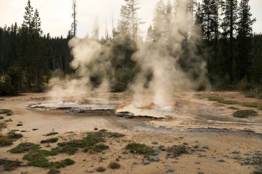
Boiling Cauldron, different view.
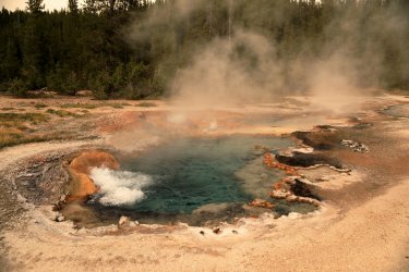
Hot Spring.
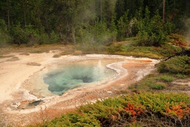
Aptly named Great Crater.
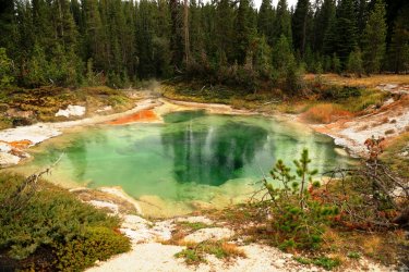
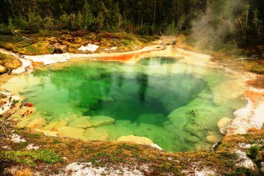
Bones in Great Crater?
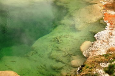
I think this one might be Cream Spring.
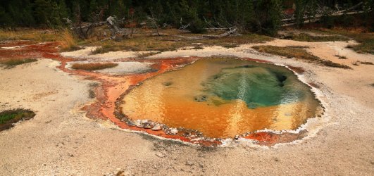
A number of hot springs I do not know the names of.
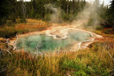
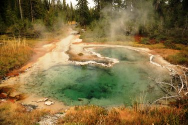
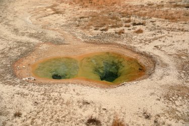
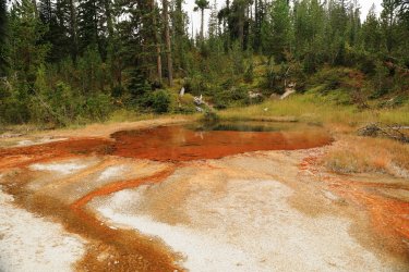
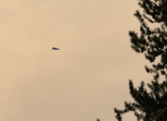
We had been hearing military jets flying overhead for part of the afternoon. I caught a picture of this one as it was flying across an open area above the basin. Scott and I assumed it was nothing more than a Scatman Tracking Exercise.
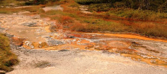
More bacterial color and drainage channels.
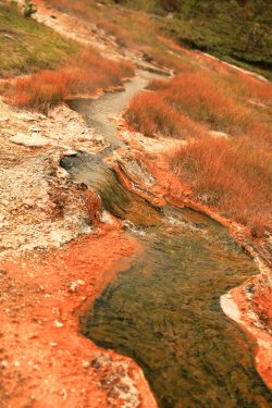
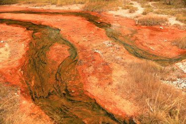
Delicate Terraces
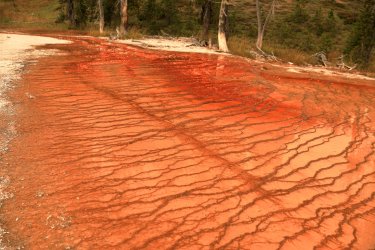
More springs.
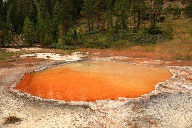
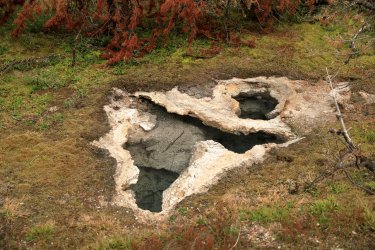
As we emerged from the Western Group we were treated to a different perspective of the geyser basin from the Western side.
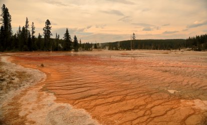
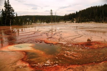
Numerous springs, vents, and bubblers covered the ground before us.
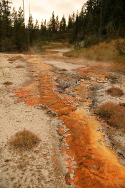
Coral Spring is one of the features I was able to recognize.
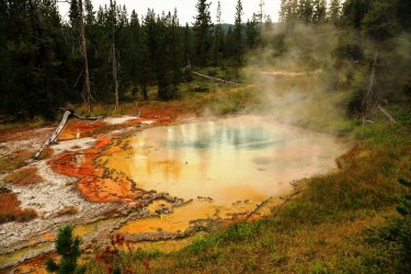
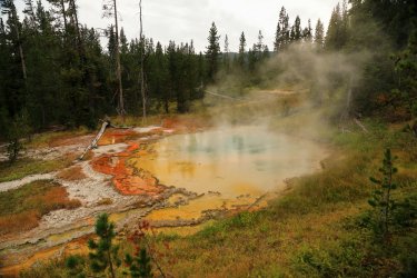
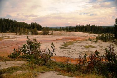
The next number of features are part of the North and South groups. I did not take good enough notes on each one's location to properly identify them.
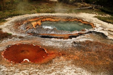
This small geyser may have erupted earlier -- its crater looks more on the empty side.
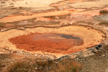
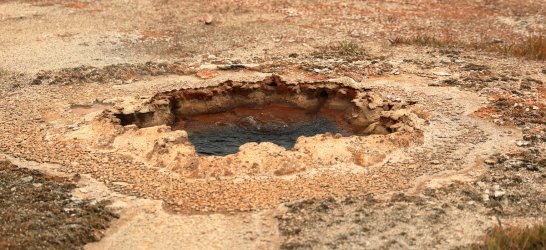
One of the features I had really wanted to see was Glen Spring. Supposedly prehistoric people had placed logs across the drainage channel of the spring to enlarge it. We could clearly see where the logs were situated to act as a dam. Fascinating to think that this could have been done intentionally hundreds of years ago. . . I can also see how trees could have just randomly fallen across the drainage channel too.
Glen Spring.
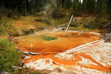
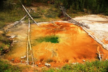
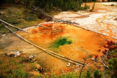
While looking at the spring Hugh found evidence of less than prehistoric man on the hillside in the form of several old rusty metal cans.
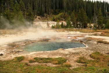
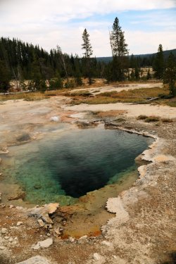
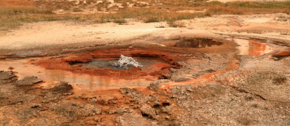
The sun was getting lower by this time and we started to work our way around/back over to the campsite. Along the way were a couple more interesting features.
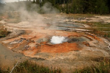
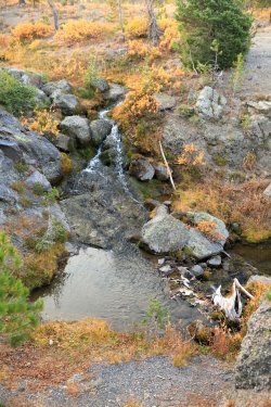
Small Thermal Waterfall.
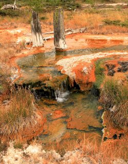
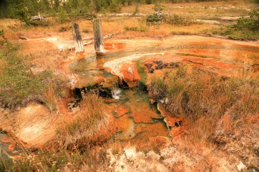
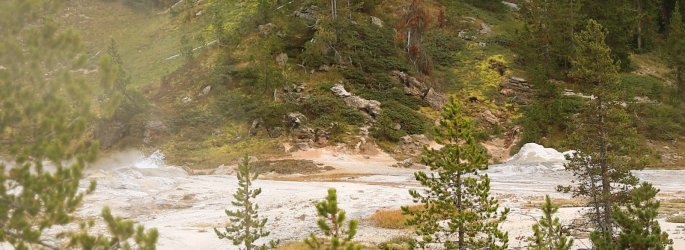
Looking East -- Minute Man Geyser had quieted down but Shield Geyser was still splashing.
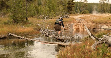
Hugh kept his feet dry on the return crossing.
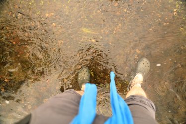
I took advantage of my footwear and got mine wet.
Just off the main trail is a remnant of what we think was an old spur trail that led to a backcountry patrol cabin on the other side of Shoshone Creek prior to it being burned in the 1970s.
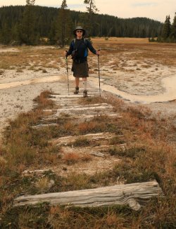
It seems I never did backtrack far enough earlier in the day to take decent pictures of Black Sulfur Spring, Soap Kettle Spring, and Shield Geyser. I have decent video footage of them so I will have to come back and post that in a later update. For now just a couple pictures heading back up the trail towards camp.
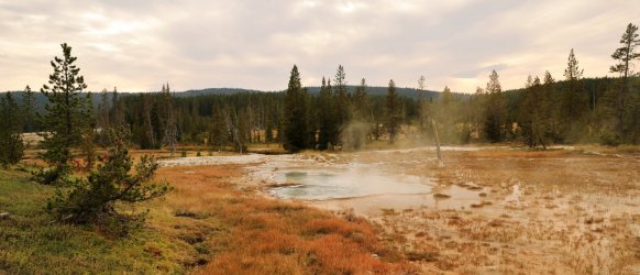
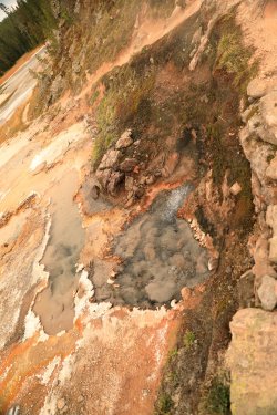
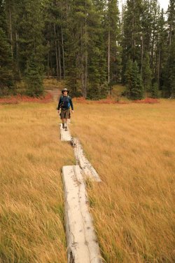
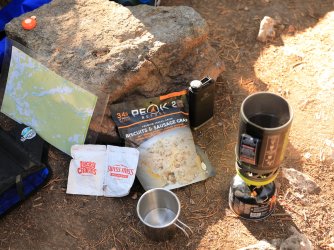
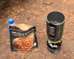
Back at the campsite it was time for supper. The first night's meal would be a Beef Pasta Marinara. This would be one that I'd order again for future trips.
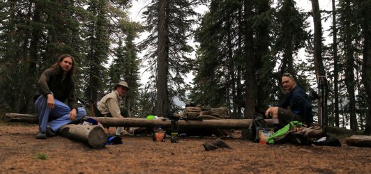
A view of the dinner table. Scott and Hugh would usually be talking about something and I'd have to interrupt them for these photo ops. After awhile I think they were starting to ignore me!
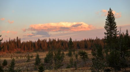
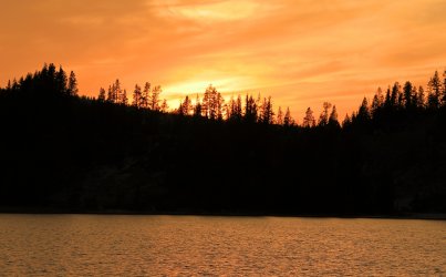
After supper we were treated to a spectacular sunset.
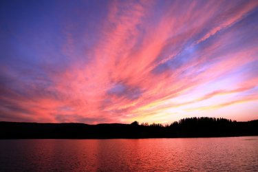
Once the sun dipped behind the hills the clouds kept the show going.
The three of us talked about tomorrow's plans until the stars made an appearance, then we turned in for the night. We would certainly need our rest for what tomorrow was to bring!
End, Day 1.
Start, Day 2.
Fun fact, I tend to get up early. . . often before the sunrise. I tell myself its because I want to stay on Eastern time to avoid being jet-lagged when I return home; but it could also be the excitement of being in one of my favorite places and not wanting to miss a minute of it. I had ideas of walking back over to the geyser basin for some early morning steam pics, but we would be leaving early today and I did not want to cause us to have a late start.
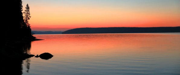
Before sunrise on Shoshone Lake.
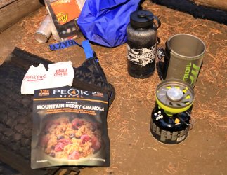
Breakfast. Fruity and delicious.
After breakfast we packed up our gear and headed back up the Shoshone Lake Trail toward the junction with the Bechler River Trail (that we passed yesterday).
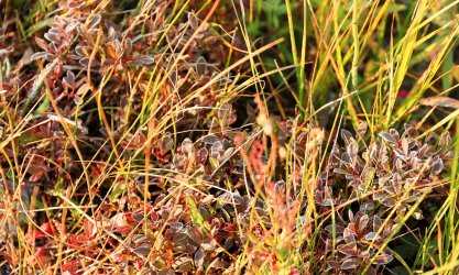
Frosty trail-side foliage.
Crossing Shoshone Creek. . . again!
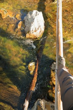
Hugh's turn.
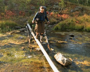
The low angle of the sun did not make for the best picture taking on the trial back up Shoshone Creek, but we eventually found our way back to the Bechler River Trail and took a left turn to head towards Three River Junction. This part of the trail involved another climb of the continental divide. It was a more significant climb this time and being a flatlander I was sucking a little more air than my travelling companions.
Hiking up the divide.
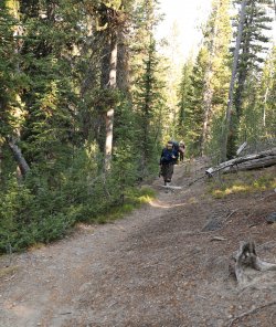
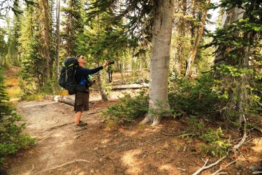
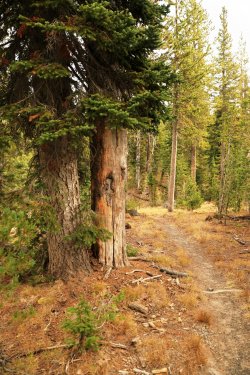
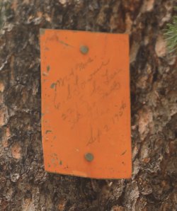
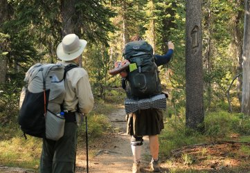
Hugh was very excited to see the old "I" trail blazes that were used as markers in the days before orange rectangles. I'm pretty sure he took a picture of every single one.
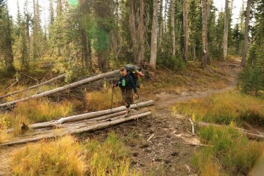
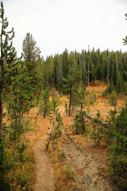
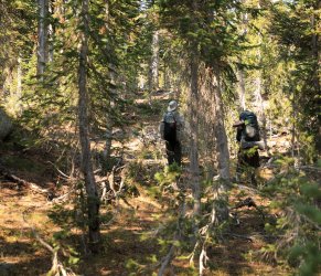
Luckily his frequent picture taking gave me a chance to catch my breath. Five miles or so from the campsite and near the top of the continental divide we stopped and rested for a few minutes. . . then continued off trail in a Westerly direction. Our goal would be the headwaters of Ouzel Creek -- something Hugh looked forward to seeing about as much as I looked forward to yesterday's thermal features. Walking thru the woods via Hugh's GPS was a bit easier today vs. the Aster Lake hike. This area had not been burned so downfall was less of an issue. There were still plenty of trees and logs to account for though and one could easily get turned around if not paying attention.
Heading West into the unknown.
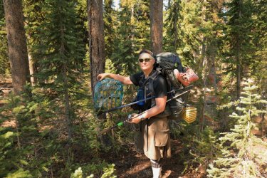
People's trash ends up in some of the most remote places. I wondered how old the person was when they received this balloon and how old they are now. It had quite a bit of leafy/needlely cover over it.
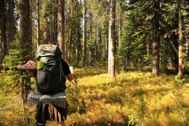
One of the more open areas to walk thru.
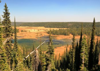
I begged Hugh and Scott to deviate from the GPS path so we could walk North and see if we could catch a view of Madison Lake from the ridge. They gave in and this Yellowstone Gamble paid off with a stunning view down to the lake. A couple of hawks or eagles even put on a show of airborne maneuvers as we watched.
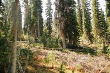
After taking in the view it was back to waking thru the woods.
As we approached Trischman Knob the view began to open up and the terrain began to undulate. We worked our way down to what would be the uppermost headwaters of Ouzel Creek.
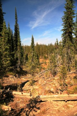
Hugh and Scott walking down the uppermost drainage of Ouzel Creek.
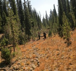
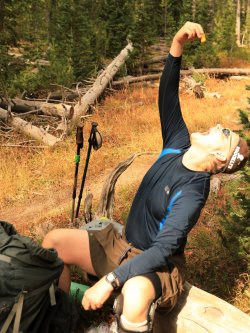
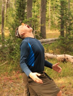
Arriving here made Hugh very happy. You can see it on his face as we stopped for a lunch break. If the Scatman could cry, I think there could have been a tear of joy on his cheek.
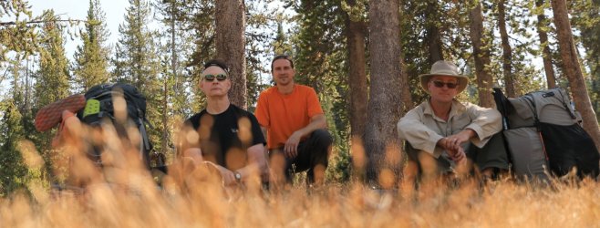
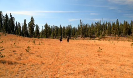
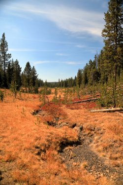
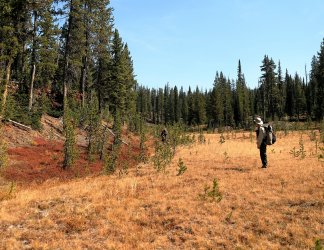
After lunch we walked down the upper, dry portion of the drainage to see where the water would start flowing.
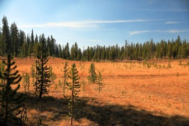
Along the way dry channels filled with Pitchstone sparkled like diamonds under the sun.
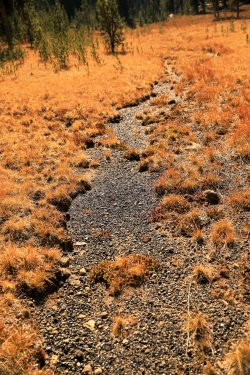
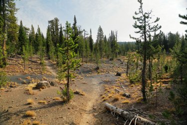
Walking was much easier for this part of the hike.
Dry Ouzel Creek Bed. It would be something to see this area in late spring/early summer.
Hugh documenting the first patches of standing water.
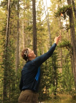
Soon enough the water began to flow. Which view is better, Scatman or no Scatman?
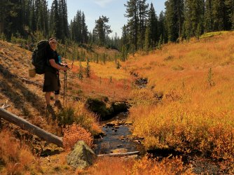
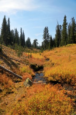
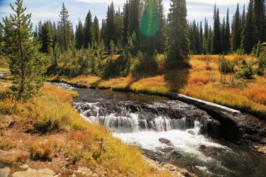
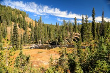
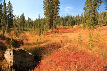
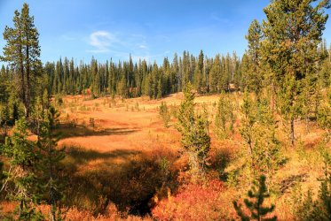
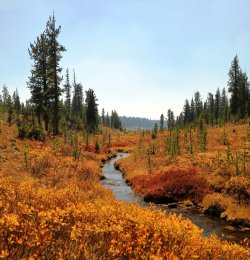
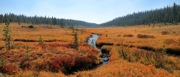
Fall colors on full display the entire length of the creek. Gorgeous!
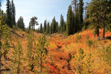
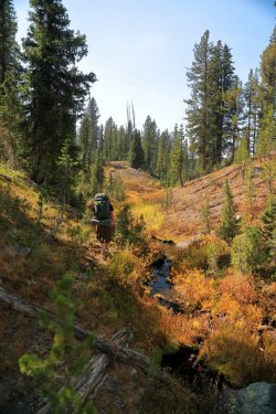
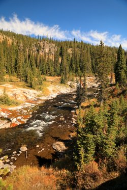
Check out those meanderings.
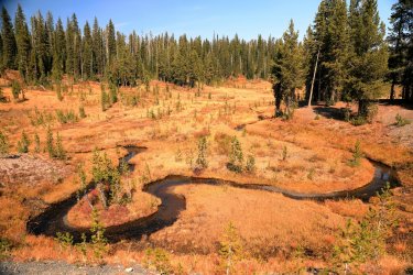
Ouzel Creek Valley with some hikers for scale.

As we hiked down slope the volume of water increased to form a proper creek.
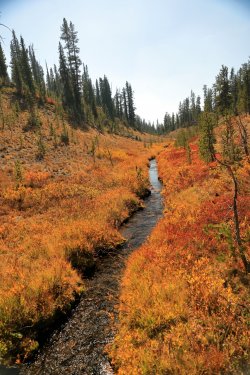
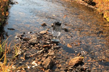
No better way to rehydrate than with some freshly filtered Ouzel Creek Water. . . in a BCP bottle no less!
Hugh had plotted us a course on his GPS that directed us back East once we reached this tributary leading into Ouzel Creek.
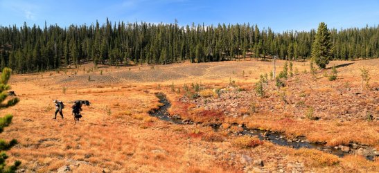
The path forward would take us across open meadows and thru the occasional patch of trees.
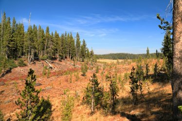
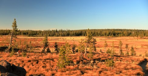
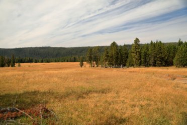
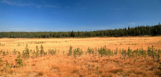
Beautiful open meadow.
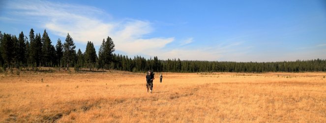
Hugh checking the GPS, Scott checking his phone satellite app (or maybe he is texting ).
).
Dry drainage that likely leads to the Phillips Fork.
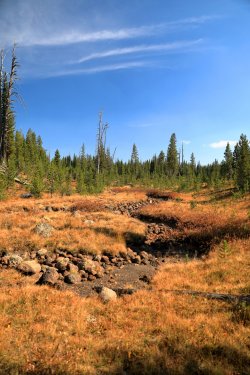
Drainage that definitely leads to the Phillips Fork. One of my other requests was that if possible we get to see Hourglass Falls (some call it Quiver Cascade). At this spot Hugh mentioned that we could follow the drainage down to the falls. The other alternative was to keep following his GPS points and take the safe path down to our campsite. Somehow we came up with some sort of mixture of the two ideas and followed a more gentle slope downward toward the location the falls would be.
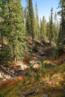
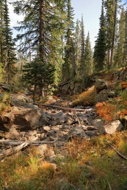
Working our way down towards Hourglass Falls.
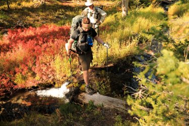
Eventually we came to a ridge and we could hear the sound of running water to our right -- an area the 90 foot falls should be.
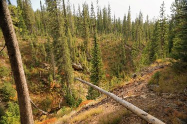
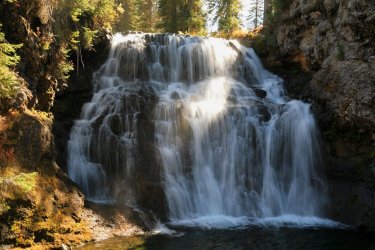
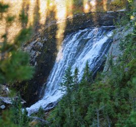
We worked our way down a somewhat steep slope and sure enough a whimsical waterfall could be seen cascading down the cliff face.
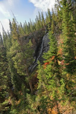
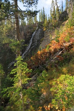
At first I did not even recognize this as Hourglass Falls. We were here late enough in the year that the water volume had decreased from what was likely present in pictures I had seen of the falls. It was not until I was looking at the pics on the camera later that I convinced myself there was indeed a "pinch" in the middle of the falls that gives it the hourglass shape.
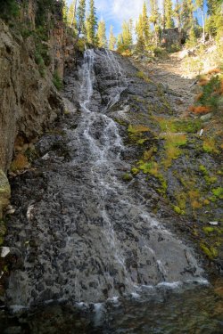
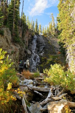
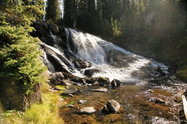
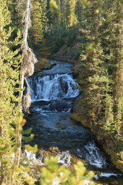
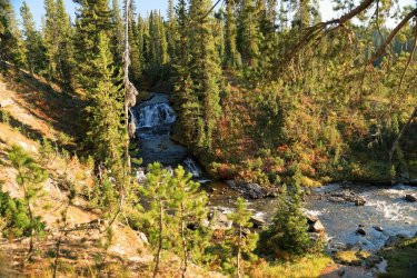
Getting to see and be this close to Hourglass Falls was quite an experience. It was an experience that came with some consequences though, as there was no easy way to work downstream from the falls and easily access our campsite. We had to ascend a steep ridge opposite the falls then descend/cross a stream/ascend another ridge to get back to an area that would eventually lead us down to our campsite for the night -- 9D1. I may have confused us some as I was still not thinking we had arrived at Hourglass Falls yet, luckily Scott's phone app found us a path that contoured across and down the area we had been in and eventually led us back to the last of Hugh's original GPS waypoints. The sun was getting low by now and I think all three of us were glad to have an idea of where we were. . . officially anyway. The route finding was serious enough that I stashed my camera in the pack until we made it back to level ground, so minimal picture taking for that part. Once we were near the campsite I brought the camera back out for a couple pictures of a lovely waterfall tucked up on the Gregg Fork before Three River Junction.
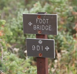
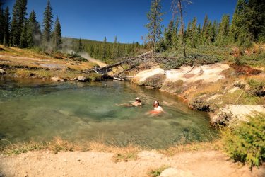
We managed to roll into campsite 9D1 before sunset. We set up camp for the night and cooked our dinners as dusk crept in. One would think that any sane hikers would have called it a night after 16 miles of off trail adventure, but Hugh had other ideas. He wanted to take an evening stroll up to Mr. Bubbles for a starlight soak. . . and that is just what we did! We walked most of the trail from 9D1 to the Ferris Fork Thermal Area by moonlight. The moon provided enough light to navigate but my other senses had to take over during my first experience in this Yellowstone Bucket List Location. The sound of trickling water and steam. . . the smell of sulfur. . . the slight chill that was beginning to fill the air around me. . . when we arrived at Mr. Bubbles the first steps into the heated water were actually a bit of a shock. A minute or two later though I was sitting in the water and feeling a complex mix of warm and cool currents swirl around me. . . this was definitely Yellowstone Paradise. Scott was the astronomy expert among us and gave us the celestial tour. I may or may not have made a joke about Uranus.
I honestly do not remember how long we sat in that heavenly pool, but I do know it was long enough to melt away any of the stress, strain, or pain that I had felt during the day. Of course it was dark so no picture taking took place that evening. I'll have some pics of the area for Day 3. Eventually we did have to emerge and head back to camp via headlamp. I remember sleeping well that night -- definitely better than the night before.
By now I'm realizing this trip report is turning into more of a Trip Novel. I'll end the first post here and pickup tomorrow with a second post that covers Days Three and Four. Tomorrow will definitely be a day worth reading as it took place in an entirely different area than what was in Hugh's report. Thanks if you've made it this far!
After our warm up hike to Aster Lake the day before Hugh and I would be meeting @wsp_scott by a deadline of 9AM at Yellowstone's Lone Star Trailhead. We drove over from the Old Faithful area a bit early and found Scott sipping coffee in a prime parking spot. I had somehow convinced Hugh to let me hang out with him last year. . . I suppose he is a glutton for punishment as he agreed to let me tag along this year too. This was our first time meeting Scott and first impressions on our end were good; he appeared to be the type of person that could put up with the conditions on the trail. I'm not sure what his first impression was of us, but I presented him with a bottle of Buffalo Trace Bourbon Whiskey as a trail-warming gift to gain his favor. I'm not against a little bribery.
I tend to be a picture taker (so this may be a very long report from an image standpoint) and Scott found that out right away with a group pic at the trailhead.

After the introductions were over and 9AM had come and gone we hoisted our packs and headed down the trail towards Lone Star Geyser. The first couple miles of trail is actually an old park road that is closed to cars but open to bicycles. We made good time easily walking three wide on the path that follows the Firehole River a good portion of the way.
Crossing the Firehole early on.

Firehole River under the morning sun.

Near the geyser the trees part for a nice meadow view.

Lone Star Geyser erupts regularly on a three hour interval. We were (un)lucky enough to catch the last bits of steam from an eruption that took place just before we reached it. We did get to chat with a group that were employees of the park and had stayed at 8R5 -- the campsite at Shoshone Lake to which we were headed. Hugh shared with them stories of Scatman Lore and gave them a few hints/tips/future hiking destinations.
Lone Star in Steam.

After the last puffs of steam had passed we continued on as the trail turned to dirt. The trail marker where the Shoshone Lake Trail and Howard Eaton Trail meet. Its not too late to turn back Scott!

Foot bridge for a second crossing of the Firehole River.

I last walked this trail two years ago. There have been some improvements since then in the form of a new wooden walkway over one of the squishy areas holding several small hot springs.

Then there were areas that looked like they could use a little help. Step in the wrong place on this boardwalk and you'll end up going thru it. We did not let a little red tape deter us though and took our chances.

The miles went quickly and we passed by campsites OA1, OA2, and OA3. This was a nice view from the trail of a meadow somewhere South of OA3. Shame there are not some bison out there munching.

September must be a good times for certain mushrooms in Yellowstone. Fungus was among us in many areas along the trail, this was just one example of a large specimen.

The Shoshone lake trail gradually climbs up forested slopes to the continental divide at Grant's Pass. There is no official signage or view on the precipice as you are surrounded by trees. Every now and again the trees would open for a small meadow or drainage and we could catch views of the autumn colors on display.

Scott proved to be a worthy companion and could be found taking point position often. Perhaps he was just trying to get away from Hugh and I.

Trail Marker! We took a left towards Shoshone Lake. 8G1 was our first choice for tonight's campsite, but it must have been taken as the permit office assigned us 8R5.

The trail to Shoshone Lake was more scenic (to my eye) compared to what we had just hiked thru. It started with a more open area.

Then started to follow Shoshone Creek.

The trail would make three crossings of Shoshone Creek. The first crossing utilized a foot bridge. The second crossing has no bridge, but a nice log instead.

Author's view.

The third crossing also utilizes a log -- a much skinnier log over a wider section of creek. It is deeper than it looks! We all made it with dry feet.

The next two miles were very scenic. September is my favorite time to visit the park and we were treated to a sunny day that was not too warm. The sun make Shoshone Creek sparkle and brought the yellows, golds, and reds of autumn color to life.


Scott still leading the way.

I told Hugh that I had probably taken pictures from these same viewpoints two years ago. Perhaps I should go back and see if any of the logs have moved?


The trail ducked back into some trees and we could catch a preview of our destination for later -- the Shoshone Geyser Basin.

We took the left onto the North Shoshone Trail to setup camp before heading over to the geyser basin.

Guess who is in the lead this time? I'd been looking forward to visiting Shoshone Geyser Basin again and kicked into a higher gear.

Spur Trail to 8R5. Quite a lengthy one at nearly half a mile!

Home for the night. The tent sites for 8R5 are nicely sheltered in the trees but a short walk takes you to the shore of the lake and a nice open view.


All of our sites for the trip had pit toilets. No, I did not take pictures of all of them.

After a brief rest it was time to head over to the geyser basin. I left Hugh and Scott in my dust as I wanted to do a video walk thru of the basin -- preferably one without people in it. I returned the the trail marker and took the basin trail; once you leave the trees you cross a log path over a swampy area.

I accomplished my video walk-thru (I'll have to work on posting it one of these days). In doing so I did not stop to take any pictures from start to finish, instead I had to backtrack so some of my pictures will be out of order.
I had stopped my video at the dormant cones of Union Geyser. If I remember reading correctly it last erupted in the 1970s.

North of Union Geyser is Taurus Spring.

I managed to backtrack and catch up to Hugh and Scott at Minute Man Geyser. The guys were thrilled as I made them stand there for a group picture during an eruption. Can't you see Hugh smiling?

Some Minute Man pictures without the three amigos.


Hugh capturing the moment.

Looking North up Shoshone Creek.

There are several interesting features East of Union Geyser. I am not as well versed when it comes to their proper names, but Sea Green Pool and White Hot Spring are located in the vicinity.

I chose to call this one the bottomless pit.

View of Union Geyser's cones from the South.

A few more thermal areas and features farther South near the trail.


One of my goals of this visit was to cross Shoshone Creek to get a better view of some of the thermal features on the other side. I am well aware of the park service's policy of no off trail travel in the geyser basins. My plan was not to walk on thermal ground, but to stay on the grassy/forested areas and work a path Westward then Northward around the periphery of the basin. Some may still frown upon this as bending or breaking the rules, but I have the utmost respect for these delicate areas and wish nothing more than to see them / take photographs. The park's policy was put in place due to visitors vandalizing thermal features -- I would never dream of such an act. The elk and bison would probably do more damage than what we were about to undertake.
So with that, we made a crossing of Shoshone Creek somewhere South of Union Geyser.
I almost forgot, I was making this part of the hike in Crocs and Socks!

A view up Fall Creek, which flows into Shoshone Creek.

Across the creek are several features that I believe are in the Island Group.

What follows are pictures of features from the Western Group. I do not know the name of every feature, just some of the bigger ones.

Colorful Bacterial mats in intricate runoff channels.


Possibly Pectin Geyser?

One of the more impressive features is the Boiling Cauldron.

Boiling Cauldron, different view.

Hot Spring.

Aptly named Great Crater.


Bones in Great Crater?

I think this one might be Cream Spring.

A number of hot springs I do not know the names of.


We had been hearing military jets flying overhead for part of the afternoon. I caught a picture of this one as it was flying across an open area above the basin. Scott and I assumed it was nothing more than a Scatman Tracking Exercise.

More bacterial color and drainage channels.


Delicate Terraces

More springs.


As we emerged from the Western Group we were treated to a different perspective of the geyser basin from the Western side.

Numerous springs, vents, and bubblers covered the ground before us.


Coral Spring is one of the features I was able to recognize.


The next number of features are part of the North and South groups. I did not take good enough notes on each one's location to properly identify them.


This small geyser may have erupted earlier -- its crater looks more on the empty side.


One of the features I had really wanted to see was Glen Spring. Supposedly prehistoric people had placed logs across the drainage channel of the spring to enlarge it. We could clearly see where the logs were situated to act as a dam. Fascinating to think that this could have been done intentionally hundreds of years ago. . . I can also see how trees could have just randomly fallen across the drainage channel too.
Glen Spring.


While looking at the spring Hugh found evidence of less than prehistoric man on the hillside in the form of several old rusty metal cans.
The sun was getting lower by this time and we started to work our way around/back over to the campsite. Along the way were a couple more interesting features.


Small Thermal Waterfall.


Looking East -- Minute Man Geyser had quieted down but Shield Geyser was still splashing.

Hugh kept his feet dry on the return crossing.

I took advantage of my footwear and got mine wet.

Just off the main trail is a remnant of what we think was an old spur trail that led to a backcountry patrol cabin on the other side of Shoshone Creek prior to it being burned in the 1970s.

It seems I never did backtrack far enough earlier in the day to take decent pictures of Black Sulfur Spring, Soap Kettle Spring, and Shield Geyser. I have decent video footage of them so I will have to come back and post that in a later update. For now just a couple pictures heading back up the trail towards camp.


Back at the campsite it was time for supper. The first night's meal would be a Beef Pasta Marinara. This would be one that I'd order again for future trips.

A view of the dinner table. Scott and Hugh would usually be talking about something and I'd have to interrupt them for these photo ops. After awhile I think they were starting to ignore me!

After supper we were treated to a spectacular sunset.

Once the sun dipped behind the hills the clouds kept the show going.

The three of us talked about tomorrow's plans until the stars made an appearance, then we turned in for the night. We would certainly need our rest for what tomorrow was to bring!
End, Day 1.
Start, Day 2.
Fun fact, I tend to get up early. . . often before the sunrise. I tell myself its because I want to stay on Eastern time to avoid being jet-lagged when I return home; but it could also be the excitement of being in one of my favorite places and not wanting to miss a minute of it. I had ideas of walking back over to the geyser basin for some early morning steam pics, but we would be leaving early today and I did not want to cause us to have a late start.
Before sunrise on Shoshone Lake.

Breakfast. Fruity and delicious.

After breakfast we packed up our gear and headed back up the Shoshone Lake Trail toward the junction with the Bechler River Trail (that we passed yesterday).
Frosty trail-side foliage.

Crossing Shoshone Creek. . . again!

Hugh's turn.

The low angle of the sun did not make for the best picture taking on the trial back up Shoshone Creek, but we eventually found our way back to the Bechler River Trail and took a left turn to head towards Three River Junction. This part of the trail involved another climb of the continental divide. It was a more significant climb this time and being a flatlander I was sucking a little more air than my travelling companions.
Hiking up the divide.

Hugh was very excited to see the old "I" trail blazes that were used as markers in the days before orange rectangles. I'm pretty sure he took a picture of every single one.

Luckily his frequent picture taking gave me a chance to catch my breath. Five miles or so from the campsite and near the top of the continental divide we stopped and rested for a few minutes. . . then continued off trail in a Westerly direction. Our goal would be the headwaters of Ouzel Creek -- something Hugh looked forward to seeing about as much as I looked forward to yesterday's thermal features. Walking thru the woods via Hugh's GPS was a bit easier today vs. the Aster Lake hike. This area had not been burned so downfall was less of an issue. There were still plenty of trees and logs to account for though and one could easily get turned around if not paying attention.
Heading West into the unknown.

People's trash ends up in some of the most remote places. I wondered how old the person was when they received this balloon and how old they are now. It had quite a bit of leafy/needlely cover over it.

One of the more open areas to walk thru.

I begged Hugh and Scott to deviate from the GPS path so we could walk North and see if we could catch a view of Madison Lake from the ridge. They gave in and this Yellowstone Gamble paid off with a stunning view down to the lake. A couple of hawks or eagles even put on a show of airborne maneuvers as we watched.

After taking in the view it was back to waking thru the woods.

As we approached Trischman Knob the view began to open up and the terrain began to undulate. We worked our way down to what would be the uppermost headwaters of Ouzel Creek.

Hugh and Scott walking down the uppermost drainage of Ouzel Creek.

Arriving here made Hugh very happy. You can see it on his face as we stopped for a lunch break.

After lunch we walked down the upper, dry portion of the drainage to see where the water would start flowing.

Along the way dry channels filled with Pitchstone sparkled like diamonds under the sun.

Walking was much easier for this part of the hike.

Dry Ouzel Creek Bed. It would be something to see this area in late spring/early summer.

Hugh documenting the first patches of standing water.

Soon enough the water began to flow. Which view is better, Scatman or no Scatman?


Fall colors on full display the entire length of the creek. Gorgeous!


Check out those meanderings.

Ouzel Creek Valley with some hikers for scale.

As we hiked down slope the volume of water increased to form a proper creek.


No better way to rehydrate than with some freshly filtered Ouzel Creek Water. . . in a BCP bottle no less!

Hugh had plotted us a course on his GPS that directed us back East once we reached this tributary leading into Ouzel Creek.

The path forward would take us across open meadows and thru the occasional patch of trees.

Beautiful open meadow.

Hugh checking the GPS, Scott checking his phone satellite app (or maybe he is texting

Dry drainage that likely leads to the Phillips Fork.

Drainage that definitely leads to the Phillips Fork. One of my other requests was that if possible we get to see Hourglass Falls (some call it Quiver Cascade). At this spot Hugh mentioned that we could follow the drainage down to the falls. The other alternative was to keep following his GPS points and take the safe path down to our campsite. Somehow we came up with some sort of mixture of the two ideas and followed a more gentle slope downward toward the location the falls would be.


Working our way down towards Hourglass Falls.

Eventually we came to a ridge and we could hear the sound of running water to our right -- an area the 90 foot falls should be.

We worked our way down a somewhat steep slope and sure enough a whimsical waterfall could be seen cascading down the cliff face.


At first I did not even recognize this as Hourglass Falls. We were here late enough in the year that the water volume had decreased from what was likely present in pictures I had seen of the falls. It was not until I was looking at the pics on the camera later that I convinced myself there was indeed a "pinch" in the middle of the falls that gives it the hourglass shape.


Getting to see and be this close to Hourglass Falls was quite an experience. It was an experience that came with some consequences though, as there was no easy way to work downstream from the falls and easily access our campsite. We had to ascend a steep ridge opposite the falls then descend/cross a stream/ascend another ridge to get back to an area that would eventually lead us down to our campsite for the night -- 9D1. I may have confused us some as I was still not thinking we had arrived at Hourglass Falls yet, luckily Scott's phone app found us a path that contoured across and down the area we had been in and eventually led us back to the last of Hugh's original GPS waypoints. The sun was getting low by now and I think all three of us were glad to have an idea of where we were. . . officially anyway. The route finding was serious enough that I stashed my camera in the pack until we made it back to level ground, so minimal picture taking for that part. Once we were near the campsite I brought the camera back out for a couple pictures of a lovely waterfall tucked up on the Gregg Fork before Three River Junction.


We managed to roll into campsite 9D1 before sunset. We set up camp for the night and cooked our dinners as dusk crept in. One would think that any sane hikers would have called it a night after 16 miles of off trail adventure, but Hugh had other ideas. He wanted to take an evening stroll up to Mr. Bubbles for a starlight soak. . . and that is just what we did! We walked most of the trail from 9D1 to the Ferris Fork Thermal Area by moonlight. The moon provided enough light to navigate but my other senses had to take over during my first experience in this Yellowstone Bucket List Location. The sound of trickling water and steam. . . the smell of sulfur. . . the slight chill that was beginning to fill the air around me. . . when we arrived at Mr. Bubbles the first steps into the heated water were actually a bit of a shock. A minute or two later though I was sitting in the water and feeling a complex mix of warm and cool currents swirl around me. . . this was definitely Yellowstone Paradise. Scott was the astronomy expert among us and gave us the celestial tour. I may or may not have made a joke about Uranus.
I honestly do not remember how long we sat in that heavenly pool, but I do know it was long enough to melt away any of the stress, strain, or pain that I had felt during the day. Of course it was dark so no picture taking took place that evening. I'll have some pics of the area for Day 3. Eventually we did have to emerge and head back to camp via headlamp. I remember sleeping well that night -- definitely better than the night before.
By now I'm realizing this trip report is turning into more of a Trip Novel. I'll end the first post here and pickup tomorrow with a second post that covers Days Three and Four. Tomorrow will definitely be a day worth reading as it took place in an entirely different area than what was in Hugh's report. Thanks if you've made it this far!

