- Joined
- Dec 11, 2015
- Messages
- 2,092
Day 1.
I awoke in the cabin at the Headwaters Lodge, headed over for breakfast, and walked into a big group of people in the lobby. Overhearing the conversations, the road into the Park was closed at the S Entrance due to the snow from the previous day and last night. Some people that I had met the previous night at the laundromat saw me and came over to say hi. They then started asking me questions about how long the road might be closed, were there other options, etc. I explained what I had read on the YNP website, and learning that the Grassy Lake Road was open, I recommended they drive that, and then head north to West Yellowstone, and into the Park. The entrance there was open. They took off to drive the road.
Anyway, other people heard me talking and then I was suddenly the person to ask. I tried to remove myself from that as soon as possible because I'm not that guy. More importantly, I needed to finish packing and head out to the highway before the entrance was opened and all these potential rides headed out. Too late, while I was in my cabin, the entrance opened and the vehicles mostly left. I left my duffel bag with the campground office (they agreed that I could) and I walked to the highway and started walking north to the pullout north of the Grassy Lake Road as a few cars and RVs passed me. After 10-15 minutes at the pullout, a car stopped and a young woman jumped out and after asking where I was going, asked me not to kill her, and opened the rear hatch of her car. I promised I would not kill her, put my pack in, and loaded myself into the front passenger seat.
There was a yellow lab on its bed in the back seat. This dog was the reason that the driver was in NW Wyoming. Keeping this short, the dog had been diagnosed with a terminal disease, spurring its owner to go on an extended road trip with him before he died. She quit her job, was in the process of taking care of everything before she took off, and found out that the dog's health issue was not terminal. Since she was so far in into the process, she took the road trip anyway. At this point she was in the 3rd month of the trip, if I remember right. Anyway, we entered the Park, and she dropped me off where I asked.
I was excited for this trip, 3 nights in non-established camps and one night at Ice Lake. The hiking was mostly off trail and the elk rut was on. I was starting near Yellowstone Lake and finishing near Mammoth.
I grabbed my pack and carried it into the trees. I do not like to be seen leaving the road and went out of sight as quickly as possible, before another car passed. I shouldered the pack and started off.
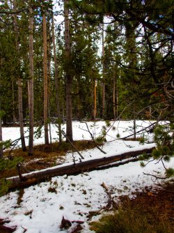
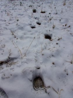
Within a few seconds I hit these elk tracks. I felt this was a good omen.
I headed up this unnamed creek, which I realized about 20 minutes later, was not the creek I wanted to be following. I checked the map and realized that I was headed west, not north. But for now, I followed the creek.
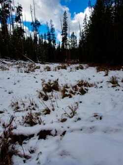
Once I realized my mistake, I turned north and headed into the forest.
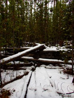
There are several meadows in the area so I traveled from meadow to meadow, feeling that I was headed to the right area. My compass usually showed I was.
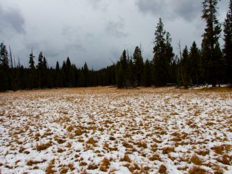
I came upon this elk wallow along the way.
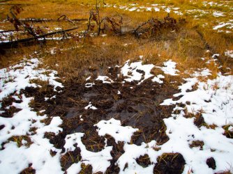
The storm was still passing through, with frequent changes between squalls and patches of blue sky.
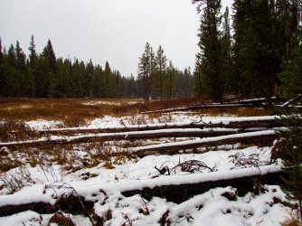
At one point the the skies let loose and it poured snow for 10-15 minutes.
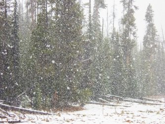
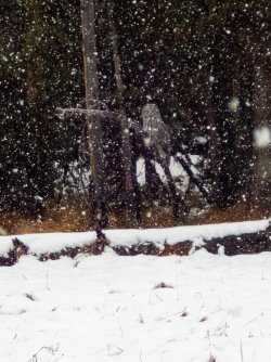
I noticed a large bird flying across the meadow and it landed along the edge. I watched it for a few minutes before it flew to the end of the meadow and perched again.
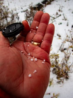
The next squall was comprised mostly of graupel.
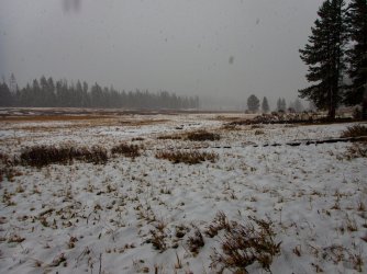
I finally reached the meadow I was seeking. I passed through here a couple years ago and was treated to an afternoon of elk bugling and wallowing. As I walked out to the road, more elk were coming into the meadow and the bugling was nearly non-stop. But this year it was empty.
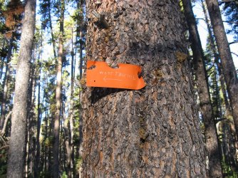
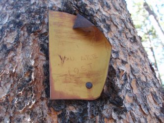
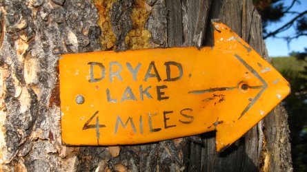
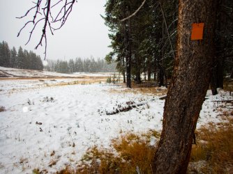
There's an abandoned trail in the valley with some trail markers remaining on the trees. The lower end of the trail becomes pretty spotty the closer you approach the road.
I crossed the creek, this is looking down valley toward the road.
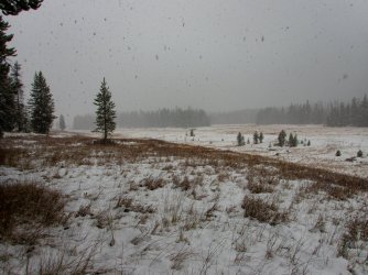
I think this is the official trail but it may have been a game trail. There were no markers or cut logs along this stretch.
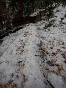
The upper end of the valley closed in with trees, giving it a real comfortable vibe.
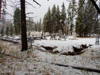
Another elk wallow. Where were they?
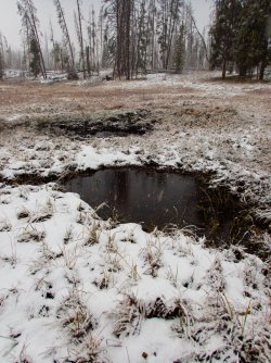
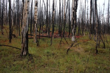
I left the valley bottom and headed up into the burn. This burned in 2009.
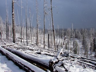
Soon after I was following an elk's trail through the downed snags.
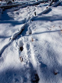
Earlier I had spotted the elk a couple hundred yards ahead of me, a sizable bull. I took this picture assuming the bull was somewhere in it, looking back at me. If he's there, I still haven't found him.
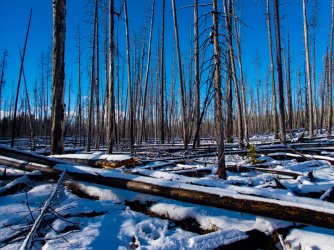
Once I left the burned area, I entered a beautiful forest.
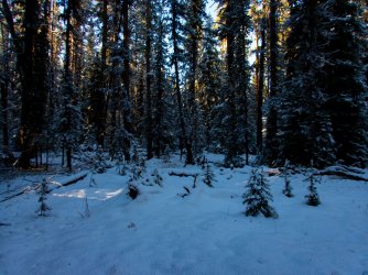
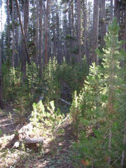
Here's the old trail.
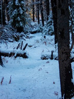
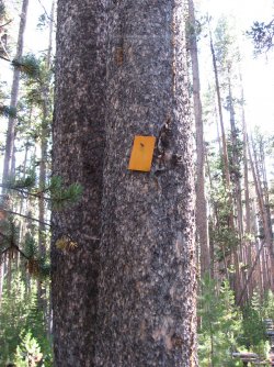
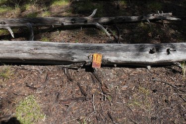
I saw a couple dozen trail markers along the way.
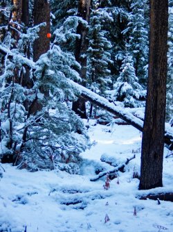
Another obvious section of trail.
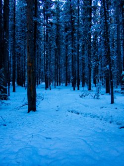
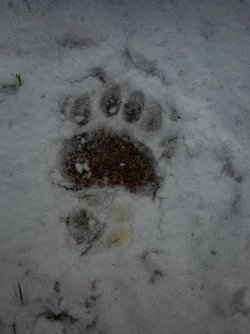
I lost the trail several times as I went along, usually finding cut logs to relocate it. As I approached Beach Lake, I found this recent set of black bear tracks. It looks like several hundred snow fleas are dotting the snow.
Beach Lake. I kept an eye on the point jutting out from the left as I figured the bear was likely to walk out on it at some point. I never saw it.
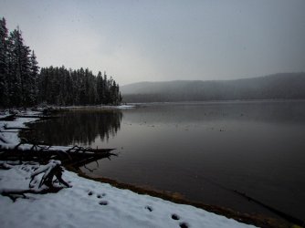
From the upper shore of Beach Lake. Looks dismal but it was actually pretty nice out.
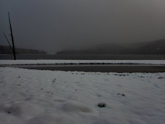
North of Beach Lake, I found a small meadow ringed by lodgepole pines. With the low clouds, the moonrise brightened the area pretty well.
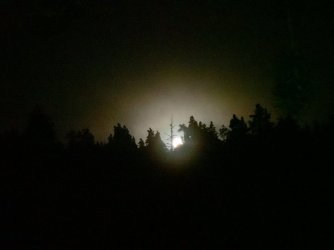
Day 2.
Here's camp in the morning. The storm was dissipating with the cloud cover persisting but slowly decreasing as the morning went on.
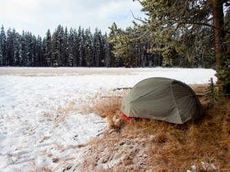
I continued north through the lodgepole forest, which eventually gave way to a small burned area, then through a short stretch of mostly lodgepole, before entering the meadows along Alum Creek.
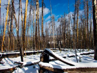
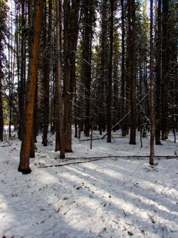
As I approached the meadow, there were a few burned lodgepoles giving cover to a sharp-shinned hawk.
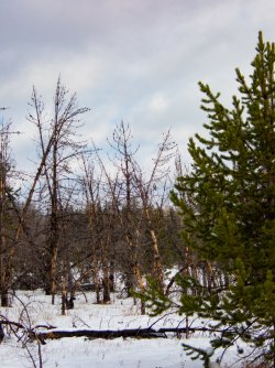
I entered the meadows following this trail. Probably bison based on what I will be following further down the valley.
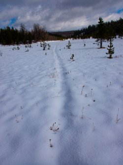
Pine marten tracks.
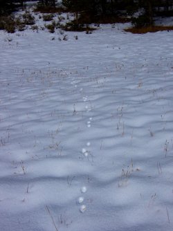
Further down the Alum Creek valley.
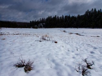
At this point, I'm following a set of bison tracks. I ended up following the tracks of one or 2 bison for a couple hours.
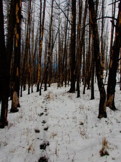
Seems like you can't travel around this park too long without finding a bone, in this case, a bison bone.
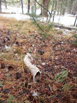
Alum Creek.
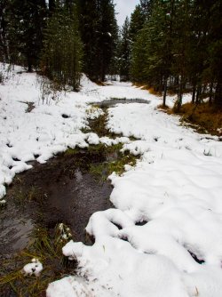
I followed the bison trail across Alum Creek and stopped for a snack and water to enjoy a few minutes of sunlight.
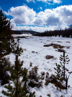
A lodgepole forest heavily scarred by bison.
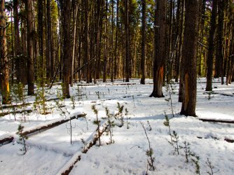
A bison wallow adjacent to well-worn trail. I heard a series of wolf howls off to the east from here, in the headwaters of Trout Creek. Sounded like 4-5 wolves.
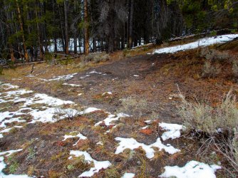
Continuing on down the trail.
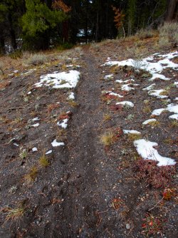
I finally reach Hayden Valley. It's still a bit chilly with a slight breeze, but what a great day.
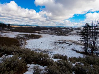
A bison along Alum Creek. This may be one of the bison I have been following.
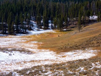
Staying on a bison trail through the sagebrush.
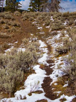
Walking into Glen Africa.
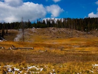
As Alum Creek passes through this thermal area, it warms substantially.
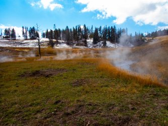
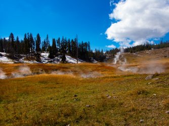
Looking back after crossing Alum Creek. I had tossed my pack onto the grassy island, almost losing my camera in the process.
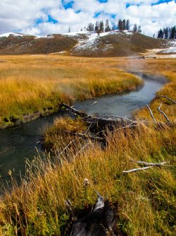
A small group of bison. The nearest ones had been a couple hundred yards away but still spooked and ran toward the rest of the group.
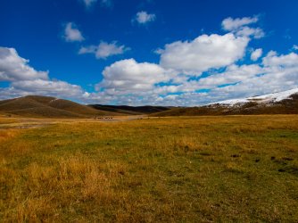
Looking back at Glen Africa basin.
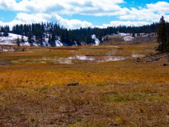
I headed up the ridge to the north and saw this group of bison, just ustream of the other group.
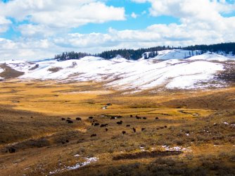
I pick up a bison trail and continue north.
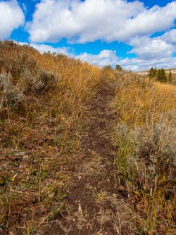
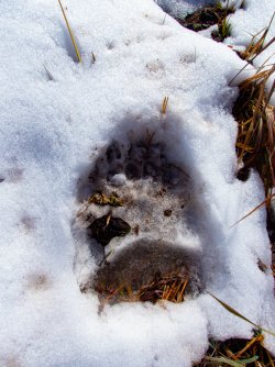
As I approach the Mary Mountain Trail, I pass this grizzly track.
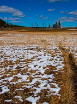
Continuing north.
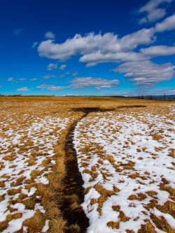
Approaching another bison wallow.
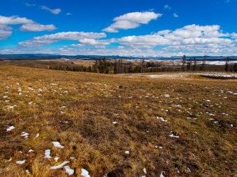
Looking east across Hayden Valley to the Absarokas.
A couple of mountain bluebirds. There were a few feeding on insects in the sagebrush in the warm sun.
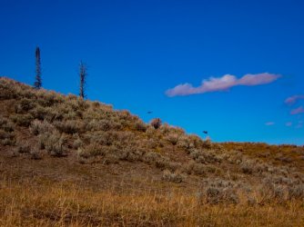
A group of bison just northwest of Violet Creek thermal area.
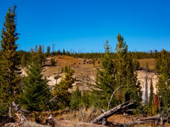
Violet Creek thermal area.
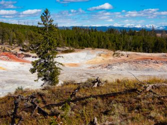
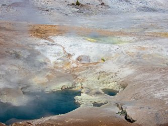
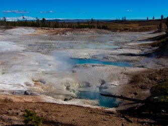
The bison trail through and out of the thermal area.
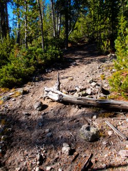
In the meadow just north of the thermal area.
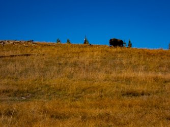
The view to the southeast.
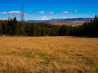
Heading north in earnest toward Otter Creek.
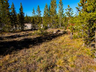
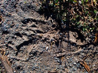
Coyote, grizzly and bison track.
Real walkable terrain and open forest.
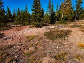
One of the many little meadows on the way to Otter Creek.
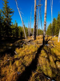
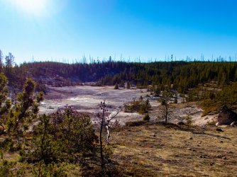
Another thermal area. The terrain is littered with small thermal spots.
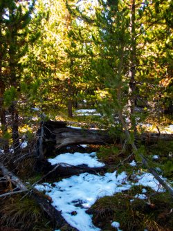
A small thicket of young lodgepoles.
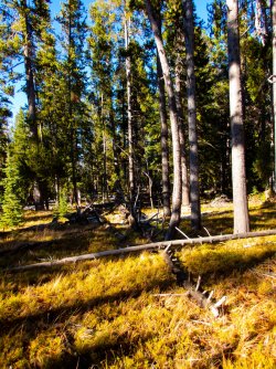
More easy-to-walk, inviting terrain and forests.
Another thermal area.
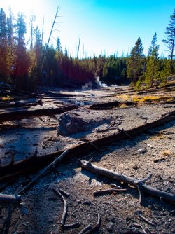
One of the larger thermal areas along the way.
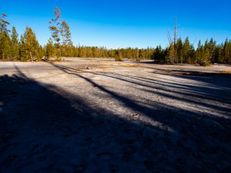
A meadow in the headwaters of Otter Creek I tried to obtain a permit to remotely camp here a few years ago. I was denied.
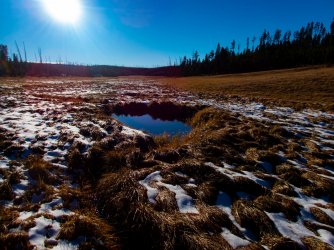
Another thicket, so far these come and go pretty quickly.
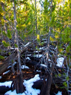
I reach the Cygnet Lakes trail and follow it for a few minutes before heading northwest on my way to Ice Lake.
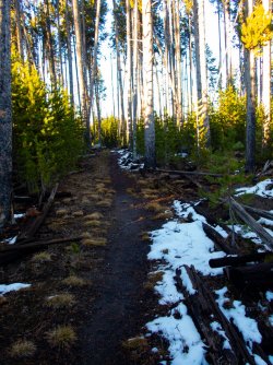
Pretty easy traveling off trail.
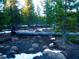
I finally reach the Norris-Canyon Road. I have an hour or 2 of daylight left so feel good about reaching Ice Lake. Soon after this I run into large swaths of regenerating lodgepoles pines, slowing my pace substantially. Really substantially. I eventually spilled out of the forest onto the trail and followed it to the campsite, very relieved. I end up reaching the Ice Lake Campsite at about 11 pm, in the dark and exhausted.
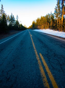
Day 3.
The next morning, I woke up, had breakfast, and hike a few minutes back to the Gibbon River crossing. I saw it last night with a headlamp and thought it would look nice in the morning light.
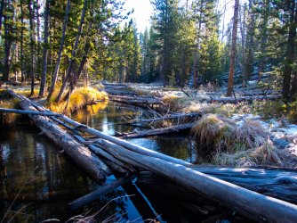
I return to camp and catch some photos of Ice Lake in a beautiful morning.
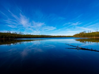
The campsite is pretty expansive compared to most. I did manage to set up my tent in a spot that received early sun, which was nice.
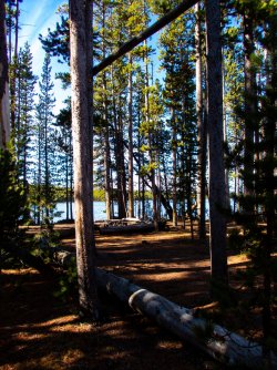
The trail heading west from the Ice Lake CS. I follow it to, and past the Norris Meadows CS. I saw 2 people along the north shore of Ice Lake, the first people I had seen since leaving the road 2 days ago, .
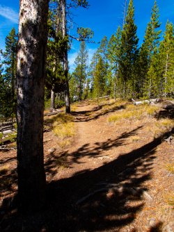
Sometimes there's no escaping deadfall.
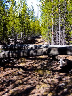
I reach the meadows. At this point I left the trail for good. Mount Holmes is off to the left. I believe that is Electric Peak in the back right-center.
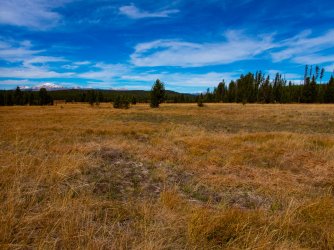
Heading up the Solfatara Creek valley. More awesome travel conditions.
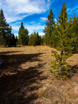
I reach this unnamed creek coming in from the east. At this point I was feeling pretty lazy so I took my time deciding where to cross. I spent probably an hour here.
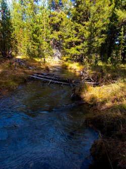
As the day wore on, I noticed more and more pieces of obsidian.
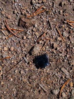
I spent most of the day traveling through expansive meadows. No sign of humans at all, well except for these poles. But by early afternoon I was past the last of them.
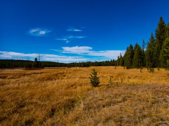
A lone bison. I love how these quiet valleys seem to provide a good spot for these old boys.
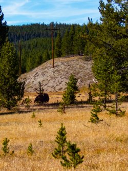
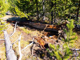
A log ripped open by a bear.
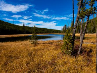
A small unnamed pond.
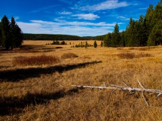
One of the northernmost meadows along Solfatara Creek. The meadow closes down pretty tightly in the back.
Another of the interesting finds along the way.
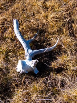
Hiking closer to the extreme north end of the valley.
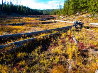
It opens again for a short while then closes as I approach the headwaters .
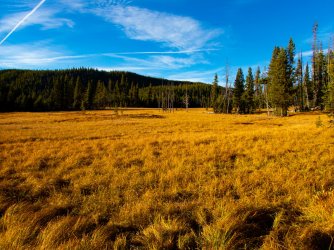
The forest closes in for good.
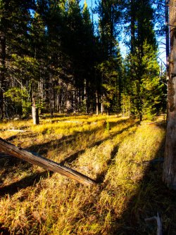
I continue up valley. I realize just past here that I wandered up a side valley and need to turn left up the slope to reach my next camp. Plenty of time left for that.
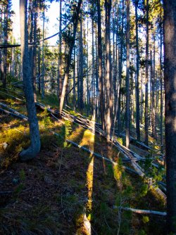
And then it's deja-vu all over again. I hit an extended patch of thick lodgepole regeneration and my pace slows to a crawl. I start to realize I may end up in the same situation as last night but all I can do is keep going and hope it ends soon.
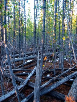
Day 4.
Well it takes a while but I leave the thicket behind and travel the last 1/2 mile to camp in a few minutes. I set up camp, find a great tree to hang the food, have some dinner, and hit the sack. I am asleep quickly. The next morning, I break camp, grab a couple granola bars and head out. Yesterday was a great one and I'm excited for this one.
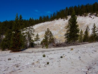
Horseshoe Hill Thermal Area. I reach this in about 5 minutes after leaving camp.
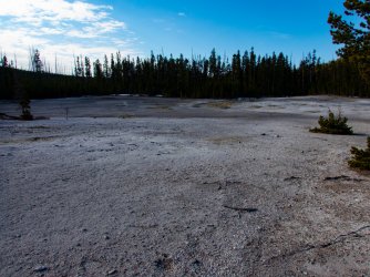
A brief stretch through the trees. A perfect warm up.
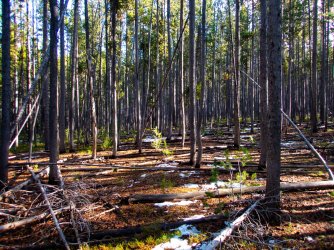
Then up through another section of the thermal area.
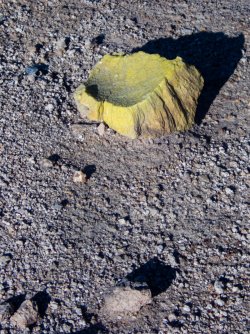
A chunk of sulphur.
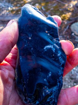
Another big chunk of obsidian. At this point I realize that I'm not too terribly far east of Obsidian Cliffs.
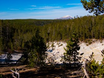
Mount Holmes with Trilobite Point in front.
A lot of flat ground as I headed north.
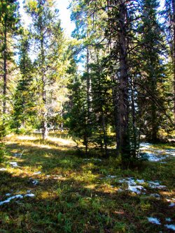
One of several meadows in the area.
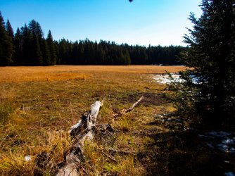
A shallow pond along the way.
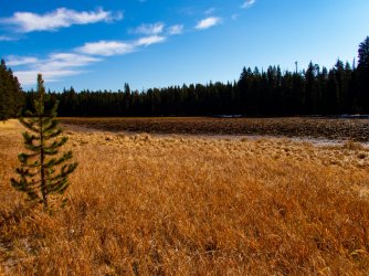
This pond at really low water. There were a handful of ducks as I approached but they moved off to a puddle a little south of here.
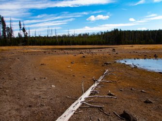
More lodgepole thickets.
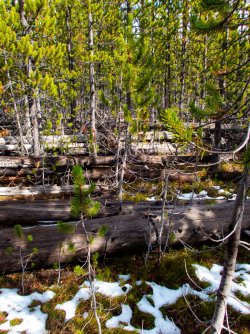
Eventually I came across a game trail.
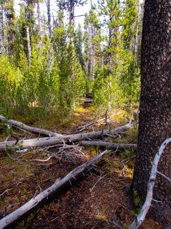
The thicket ended and an easier hike began.
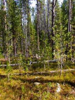
I spent a couple hours hiking through a beautiful and open lodgepole forest, It doesn't come any easier than this.
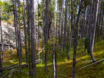
After crossing the above gully, I'm back on a long relatively flat ridge.
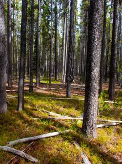
It continued...
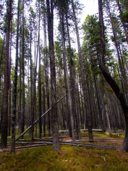
...until it doesn't. I reach a thicket from hell. The only respite is finding the larger down logs that allow me to travel in a straight line for a few dozen feet. I keep waiting for it to end but it goes on and on.
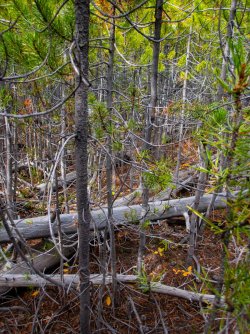
and on.
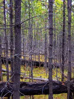
I found a downed log that was a bit elevated. I climb on it, take out my camera, reach up and take a picture. I look at the picture and realize it is not ending anytime soon. Time to take a different route. I turn right and head to the Lava Creek valley.
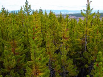
Within 10 minutes I am out of the thicket. According to the Garmin InReach, I traveled 1/10 mile in just under an hour. Things look much better now. Looking over Lava Creek.
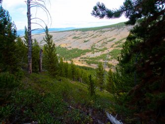
Lava Creek and a lone bison.
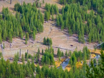
Looking up valley.
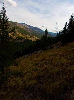
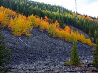
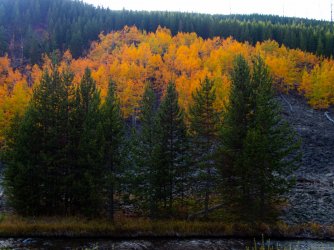
Some fall color on the west side of Lava Creek.
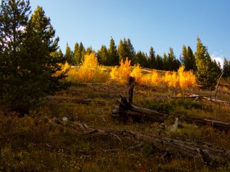
Alongside Lava Creek.
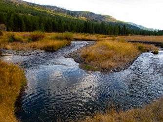
More colors.
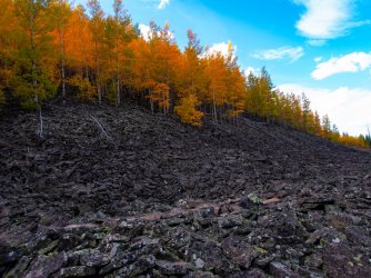
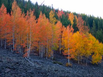
I loved all the red.
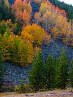
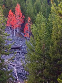
Now on the eastern slope of Lava Creek.
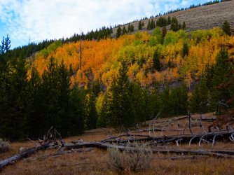
I continued down valley and found these 2 specimens.
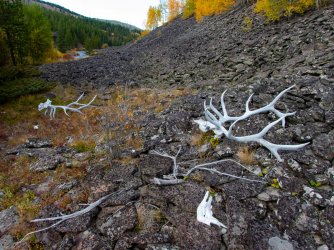
Another set in the rocks.
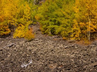
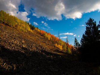
The colors and the light were awesome to travel through. A beautiful afternoon and evening.
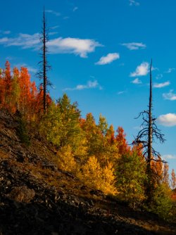
Another elk wallow.
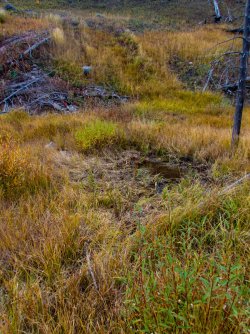
There were several springs draining off the hillside. I did not want to sleep along the creek in the tight valley so I headed upslope near one of the springs and found a great spot to camp. After dinner, on the ridge across the creek, a lone bull started bugling. I glassed the slope for several minutes but could not locate him. He finally walked out of the forest briefly and wound his way through the trees as he headed down valley. I glimpsed him briefly one more time, then he was gone. The bugling continued another 10 minutes. As darkness approached, a cow elk started talking with soft mews and squeals. I watched her and her calf a bit and then crawled into bed.
Day 5.
I awoke to another beautiful morning.
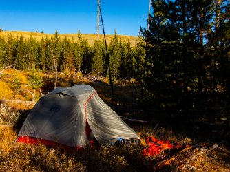
While heating water for oatmeal, I heard a bugle. I started looking around and saw this guy just over the ridge. The bugling continued for nearly an hour as he moved back and forth along the ridge.
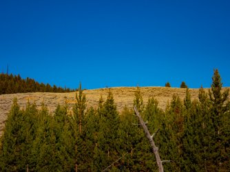
He appeared to be very curious about my presence but this was as close as he came.
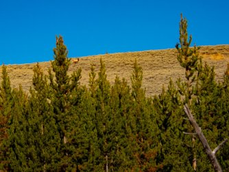
The moon is almost gone for the day.
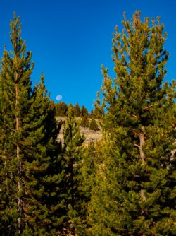
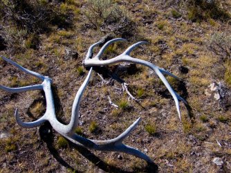
Once the bugling stopped, I packed and continued on game trails through the sagebrush. Pretty soon I started finding more antlers.
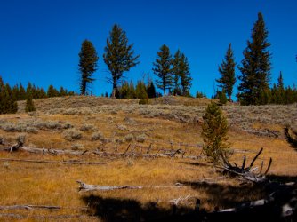
I finally neared the Douglas fir forests. This is some of the best black bear habitat in the park. I felt optimistic at my chances of seeing one.
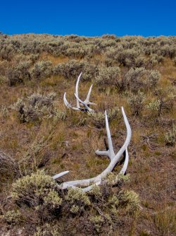
More shed antlers.
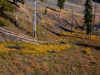
A few more elk wallows in the wet seeps.
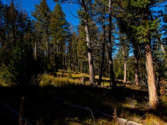
Rather than head straight down to the road, I contoured along, hoping to spot a bear. I passed a lot of sign along the way.
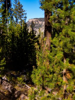
Mount Everts across the valley.
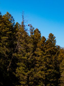
I eventually reached the road. I saw no bears in the trees, unfortunately. While walking along the road, I did spot this bald eagle.
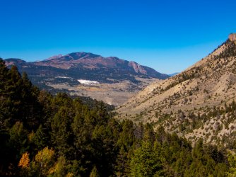
I briefly tried hitchhiking to the Mammoth area but after a few minutes, I decided to walk there. My niece and her husband were delayed on their way up so I was in no hurry to reach the development. The view opened up providing this view of Mt Sepulcher and Mammoth Terraces. The top and a ridge of Electric Peak shows itself just left of Mt Sepulcher. Clagett Butte is at the far left.
I reached Mammoth and headed in for a cold drink and a snack. I was hoping for a shower but those are not provided here. I found a spot in the shade and sat down to enjoy my Dr. Pepper and ice cream sandwich. Eventually my niece and her husband and 8 month old girl showed up. I throw my gear in and we're gone. The drive to the south entrance was uneventful. There may have been a grizzly visible in the Swan Lake Flat but we just wanted out of the crowds and parked cars lining the road. We stopped at Old Faithful Lodge and stopped in for a takeout dinner, which we ate in the nearly empty parking lot. I hustled into the Old Faithful Inn, bought a shower and hurried through that.
We drove out of the Park, turned onto the Grassy Lake Road and went looking for a campsite, eventually ending up at Grassy Lake Reservoir. We were the only ones there. Exhausted we pitched our tents in the dark and crashed.
We woke to a chilly but beautiful morning by the reservoir.
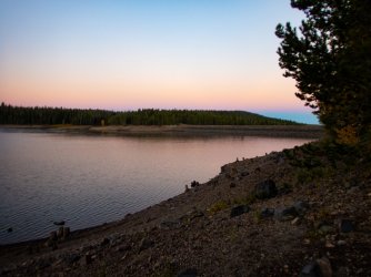
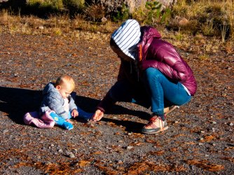
It seemed to take forever but the sun finally reached us, warming us quickly. My niece let the bambino out to play in the gravel.
We headed to the Headwaters Lodge, grabbed some delicious burritos to go, and continued south to the Jackson Airport, where they threw me out in disgust and told me to never return. I caught my flight and was headed back to AK.
I awoke in the cabin at the Headwaters Lodge, headed over for breakfast, and walked into a big group of people in the lobby. Overhearing the conversations, the road into the Park was closed at the S Entrance due to the snow from the previous day and last night. Some people that I had met the previous night at the laundromat saw me and came over to say hi. They then started asking me questions about how long the road might be closed, were there other options, etc. I explained what I had read on the YNP website, and learning that the Grassy Lake Road was open, I recommended they drive that, and then head north to West Yellowstone, and into the Park. The entrance there was open. They took off to drive the road.
Anyway, other people heard me talking and then I was suddenly the person to ask. I tried to remove myself from that as soon as possible because I'm not that guy. More importantly, I needed to finish packing and head out to the highway before the entrance was opened and all these potential rides headed out. Too late, while I was in my cabin, the entrance opened and the vehicles mostly left. I left my duffel bag with the campground office (they agreed that I could) and I walked to the highway and started walking north to the pullout north of the Grassy Lake Road as a few cars and RVs passed me. After 10-15 minutes at the pullout, a car stopped and a young woman jumped out and after asking where I was going, asked me not to kill her, and opened the rear hatch of her car. I promised I would not kill her, put my pack in, and loaded myself into the front passenger seat.
There was a yellow lab on its bed in the back seat. This dog was the reason that the driver was in NW Wyoming. Keeping this short, the dog had been diagnosed with a terminal disease, spurring its owner to go on an extended road trip with him before he died. She quit her job, was in the process of taking care of everything before she took off, and found out that the dog's health issue was not terminal. Since she was so far in into the process, she took the road trip anyway. At this point she was in the 3rd month of the trip, if I remember right. Anyway, we entered the Park, and she dropped me off where I asked.
I was excited for this trip, 3 nights in non-established camps and one night at Ice Lake. The hiking was mostly off trail and the elk rut was on. I was starting near Yellowstone Lake and finishing near Mammoth.
I grabbed my pack and carried it into the trees. I do not like to be seen leaving the road and went out of sight as quickly as possible, before another car passed. I shouldered the pack and started off.

Within a few seconds I hit these elk tracks. I felt this was a good omen.

I headed up this unnamed creek, which I realized about 20 minutes later, was not the creek I wanted to be following. I checked the map and realized that I was headed west, not north. But for now, I followed the creek.

Once I realized my mistake, I turned north and headed into the forest.

There are several meadows in the area so I traveled from meadow to meadow, feeling that I was headed to the right area. My compass usually showed I was.

I came upon this elk wallow along the way.

The storm was still passing through, with frequent changes between squalls and patches of blue sky.

At one point the the skies let loose and it poured snow for 10-15 minutes.

I noticed a large bird flying across the meadow and it landed along the edge. I watched it for a few minutes before it flew to the end of the meadow and perched again.

The next squall was comprised mostly of graupel.

I finally reached the meadow I was seeking. I passed through here a couple years ago and was treated to an afternoon of elk bugling and wallowing. As I walked out to the road, more elk were coming into the meadow and the bugling was nearly non-stop. But this year it was empty.

There's an abandoned trail in the valley with some trail markers remaining on the trees. The lower end of the trail becomes pretty spotty the closer you approach the road.

I crossed the creek, this is looking down valley toward the road.

I think this is the official trail but it may have been a game trail. There were no markers or cut logs along this stretch.

The upper end of the valley closed in with trees, giving it a real comfortable vibe.

Another elk wallow. Where were they?

I left the valley bottom and headed up into the burn. This burned in 2009.

Soon after I was following an elk's trail through the downed snags.

Earlier I had spotted the elk a couple hundred yards ahead of me, a sizable bull. I took this picture assuming the bull was somewhere in it, looking back at me. If he's there, I still haven't found him.

Once I left the burned area, I entered a beautiful forest.

Here's the old trail.

I saw a couple dozen trail markers along the way.

Another obvious section of trail.

I lost the trail several times as I went along, usually finding cut logs to relocate it. As I approached Beach Lake, I found this recent set of black bear tracks. It looks like several hundred snow fleas are dotting the snow.

Beach Lake. I kept an eye on the point jutting out from the left as I figured the bear was likely to walk out on it at some point. I never saw it.

From the upper shore of Beach Lake. Looks dismal but it was actually pretty nice out.

North of Beach Lake, I found a small meadow ringed by lodgepole pines. With the low clouds, the moonrise brightened the area pretty well.

Day 2.
Here's camp in the morning. The storm was dissipating with the cloud cover persisting but slowly decreasing as the morning went on.

I continued north through the lodgepole forest, which eventually gave way to a small burned area, then through a short stretch of mostly lodgepole, before entering the meadows along Alum Creek.


As I approached the meadow, there were a few burned lodgepoles giving cover to a sharp-shinned hawk.

I entered the meadows following this trail. Probably bison based on what I will be following further down the valley.

Pine marten tracks.

Further down the Alum Creek valley.

At this point, I'm following a set of bison tracks. I ended up following the tracks of one or 2 bison for a couple hours.

Seems like you can't travel around this park too long without finding a bone, in this case, a bison bone.

Alum Creek.

I followed the bison trail across Alum Creek and stopped for a snack and water to enjoy a few minutes of sunlight.

A lodgepole forest heavily scarred by bison.

A bison wallow adjacent to well-worn trail. I heard a series of wolf howls off to the east from here, in the headwaters of Trout Creek. Sounded like 4-5 wolves.

Continuing on down the trail.

I finally reach Hayden Valley. It's still a bit chilly with a slight breeze, but what a great day.

A bison along Alum Creek. This may be one of the bison I have been following.

Staying on a bison trail through the sagebrush.

Walking into Glen Africa.

As Alum Creek passes through this thermal area, it warms substantially.


Looking back after crossing Alum Creek. I had tossed my pack onto the grassy island, almost losing my camera in the process.

A small group of bison. The nearest ones had been a couple hundred yards away but still spooked and ran toward the rest of the group.

Looking back at Glen Africa basin.

I headed up the ridge to the north and saw this group of bison, just ustream of the other group.

I pick up a bison trail and continue north.

As I approach the Mary Mountain Trail, I pass this grizzly track.

Continuing north.

Approaching another bison wallow.

Looking east across Hayden Valley to the Absarokas.

A couple of mountain bluebirds. There were a few feeding on insects in the sagebrush in the warm sun.

A group of bison just northwest of Violet Creek thermal area.

Violet Creek thermal area.


The bison trail through and out of the thermal area.

In the meadow just north of the thermal area.

The view to the southeast.

Heading north in earnest toward Otter Creek.

Coyote, grizzly and bison track.

Real walkable terrain and open forest.

One of the many little meadows on the way to Otter Creek.

Another thermal area. The terrain is littered with small thermal spots.

A small thicket of young lodgepoles.

More easy-to-walk, inviting terrain and forests.

Another thermal area.

One of the larger thermal areas along the way.

A meadow in the headwaters of Otter Creek I tried to obtain a permit to remotely camp here a few years ago. I was denied.

Another thicket, so far these come and go pretty quickly.

I reach the Cygnet Lakes trail and follow it for a few minutes before heading northwest on my way to Ice Lake.

Pretty easy traveling off trail.

I finally reach the Norris-Canyon Road. I have an hour or 2 of daylight left so feel good about reaching Ice Lake. Soon after this I run into large swaths of regenerating lodgepoles pines, slowing my pace substantially. Really substantially. I eventually spilled out of the forest onto the trail and followed it to the campsite, very relieved. I end up reaching the Ice Lake Campsite at about 11 pm, in the dark and exhausted.

Day 3.
The next morning, I woke up, had breakfast, and hike a few minutes back to the Gibbon River crossing. I saw it last night with a headlamp and thought it would look nice in the morning light.

I return to camp and catch some photos of Ice Lake in a beautiful morning.

The campsite is pretty expansive compared to most. I did manage to set up my tent in a spot that received early sun, which was nice.

The trail heading west from the Ice Lake CS. I follow it to, and past the Norris Meadows CS. I saw 2 people along the north shore of Ice Lake, the first people I had seen since leaving the road 2 days ago, .

Sometimes there's no escaping deadfall.

I reach the meadows. At this point I left the trail for good. Mount Holmes is off to the left. I believe that is Electric Peak in the back right-center.

Heading up the Solfatara Creek valley. More awesome travel conditions.

I reach this unnamed creek coming in from the east. At this point I was feeling pretty lazy so I took my time deciding where to cross. I spent probably an hour here.

As the day wore on, I noticed more and more pieces of obsidian.

I spent most of the day traveling through expansive meadows. No sign of humans at all, well except for these poles. But by early afternoon I was past the last of them.

A lone bison. I love how these quiet valleys seem to provide a good spot for these old boys.

A log ripped open by a bear.

A small unnamed pond.

One of the northernmost meadows along Solfatara Creek. The meadow closes down pretty tightly in the back.

Another of the interesting finds along the way.

Hiking closer to the extreme north end of the valley.

It opens again for a short while then closes as I approach the headwaters .

The forest closes in for good.

I continue up valley. I realize just past here that I wandered up a side valley and need to turn left up the slope to reach my next camp. Plenty of time left for that.

And then it's deja-vu all over again. I hit an extended patch of thick lodgepole regeneration and my pace slows to a crawl. I start to realize I may end up in the same situation as last night but all I can do is keep going and hope it ends soon.

Day 4.
Well it takes a while but I leave the thicket behind and travel the last 1/2 mile to camp in a few minutes. I set up camp, find a great tree to hang the food, have some dinner, and hit the sack. I am asleep quickly. The next morning, I break camp, grab a couple granola bars and head out. Yesterday was a great one and I'm excited for this one.
Horseshoe Hill Thermal Area. I reach this in about 5 minutes after leaving camp.

A brief stretch through the trees. A perfect warm up.

Then up through another section of the thermal area.

A chunk of sulphur.

Another big chunk of obsidian. At this point I realize that I'm not too terribly far east of Obsidian Cliffs.

Mount Holmes with Trilobite Point in front.

A lot of flat ground as I headed north.

One of several meadows in the area.

A shallow pond along the way.

This pond at really low water. There were a handful of ducks as I approached but they moved off to a puddle a little south of here.

More lodgepole thickets.

Eventually I came across a game trail.

The thicket ended and an easier hike began.

I spent a couple hours hiking through a beautiful and open lodgepole forest, It doesn't come any easier than this.

After crossing the above gully, I'm back on a long relatively flat ridge.

It continued...

...until it doesn't. I reach a thicket from hell. The only respite is finding the larger down logs that allow me to travel in a straight line for a few dozen feet. I keep waiting for it to end but it goes on and on.

and on.

I found a downed log that was a bit elevated. I climb on it, take out my camera, reach up and take a picture. I look at the picture and realize it is not ending anytime soon. Time to take a different route. I turn right and head to the Lava Creek valley.

Within 10 minutes I am out of the thicket. According to the Garmin InReach, I traveled 1/10 mile in just under an hour. Things look much better now. Looking over Lava Creek.

Lava Creek and a lone bison.

Looking up valley.

Some fall color on the west side of Lava Creek.

Alongside Lava Creek.

More colors.


I loved all the red.


Now on the eastern slope of Lava Creek.

I continued down valley and found these 2 specimens.

Another set in the rocks.


The colors and the light were awesome to travel through. A beautiful afternoon and evening.

Another elk wallow.

There were several springs draining off the hillside. I did not want to sleep along the creek in the tight valley so I headed upslope near one of the springs and found a great spot to camp. After dinner, on the ridge across the creek, a lone bull started bugling. I glassed the slope for several minutes but could not locate him. He finally walked out of the forest briefly and wound his way through the trees as he headed down valley. I glimpsed him briefly one more time, then he was gone. The bugling continued another 10 minutes. As darkness approached, a cow elk started talking with soft mews and squeals. I watched her and her calf a bit and then crawled into bed.
Day 5.
I awoke to another beautiful morning.

While heating water for oatmeal, I heard a bugle. I started looking around and saw this guy just over the ridge. The bugling continued for nearly an hour as he moved back and forth along the ridge.

He appeared to be very curious about my presence but this was as close as he came.

The moon is almost gone for the day.

Once the bugling stopped, I packed and continued on game trails through the sagebrush. Pretty soon I started finding more antlers.

I finally neared the Douglas fir forests. This is some of the best black bear habitat in the park. I felt optimistic at my chances of seeing one.

More shed antlers.

A few more elk wallows in the wet seeps.

Rather than head straight down to the road, I contoured along, hoping to spot a bear. I passed a lot of sign along the way.

Mount Everts across the valley.

I eventually reached the road. I saw no bears in the trees, unfortunately. While walking along the road, I did spot this bald eagle.

I briefly tried hitchhiking to the Mammoth area but after a few minutes, I decided to walk there. My niece and her husband were delayed on their way up so I was in no hurry to reach the development. The view opened up providing this view of Mt Sepulcher and Mammoth Terraces. The top and a ridge of Electric Peak shows itself just left of Mt Sepulcher. Clagett Butte is at the far left.

I reached Mammoth and headed in for a cold drink and a snack. I was hoping for a shower but those are not provided here. I found a spot in the shade and sat down to enjoy my Dr. Pepper and ice cream sandwich. Eventually my niece and her husband and 8 month old girl showed up. I throw my gear in and we're gone. The drive to the south entrance was uneventful. There may have been a grizzly visible in the Swan Lake Flat but we just wanted out of the crowds and parked cars lining the road. We stopped at Old Faithful Lodge and stopped in for a takeout dinner, which we ate in the nearly empty parking lot. I hustled into the Old Faithful Inn, bought a shower and hurried through that.
We drove out of the Park, turned onto the Grassy Lake Road and went looking for a campsite, eventually ending up at Grassy Lake Reservoir. We were the only ones there. Exhausted we pitched our tents in the dark and crashed.
We woke to a chilly but beautiful morning by the reservoir.

It seemed to take forever but the sun finally reached us, warming us quickly. My niece let the bambino out to play in the gravel.

We headed to the Headwaters Lodge, grabbed some delicious burritos to go, and continued south to the Jackson Airport, where they threw me out in disgust and told me to never return. I caught my flight and was headed back to AK.
Last edited:

