- Joined
- Jun 25, 2012
- Messages
- 4,430
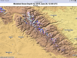
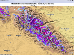
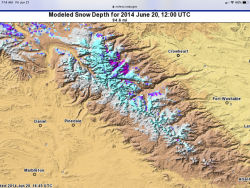
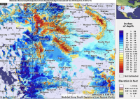
Well, this is interesting. Contrast this "Departure from Normal" map of the region to the one I posted in the OP from last year. Admittedly they are from much different dates but each compares the current conditions to the average or normal conditions for that date. For this new tracking thread note the Wind River Mountains. Even though most of the region has had above normal snowfall and snowfall stored on the ground this year the Windies are an aberration as are the Bighorn Mountains and much of the Greater Yellowstone.
The Wasatch and Bear River range in Utah, the Wyoming range and the Beartooth's in Montana and Wyoming are all well above normal for this time of year but the Windies are different.
This indicates to me that maybe we can get into the high country of the Windies (and Yellowstone and the Bighorns) a little early again this year while in many other places we are going to be postholing in snow in the high country through June and July.

Last edited:

