Weird Map Stuff

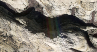
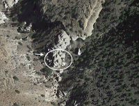
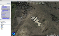
Scrolling around on the north slope of the Uintas tonight and came across this. Historical imagery suggests it was built sometime in the 90s. Looks like an unfinished foundation or a roofless structure of some sort. Anyone seen it before?

Screen Shot 2017-06-27 at 8.36.53 PM.png
 
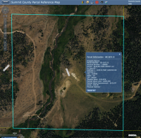
Looks like its at 40.904351 -110.642365 or there about.
 
Looks like a house to me. It measures approximately 158 ft X 84 ft
 
At that size it's more like a lodge than a house. That would be like 13,000+ square feet on one floor.

LOL one can dream big ;)


Sent from my iPhone using Tapatalk
 
Back
Top