Water questions - Escalante area

I've been watching the Escalante River monitor since we'll have to do a few river crossings next week. We got a decent amount of precip in SW UT yesterday, and to me it looks like Escalante got at least some to supplement the spring melt since it leveled off at a higher height/rate as the temps cooled off last night. I would be surprised if there's not at least some water in the springs and shadier potholes.
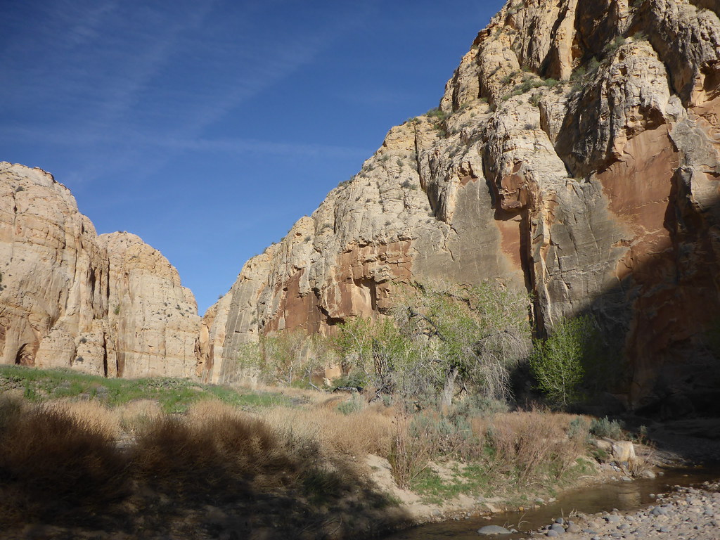
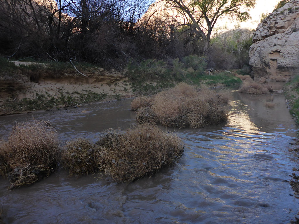
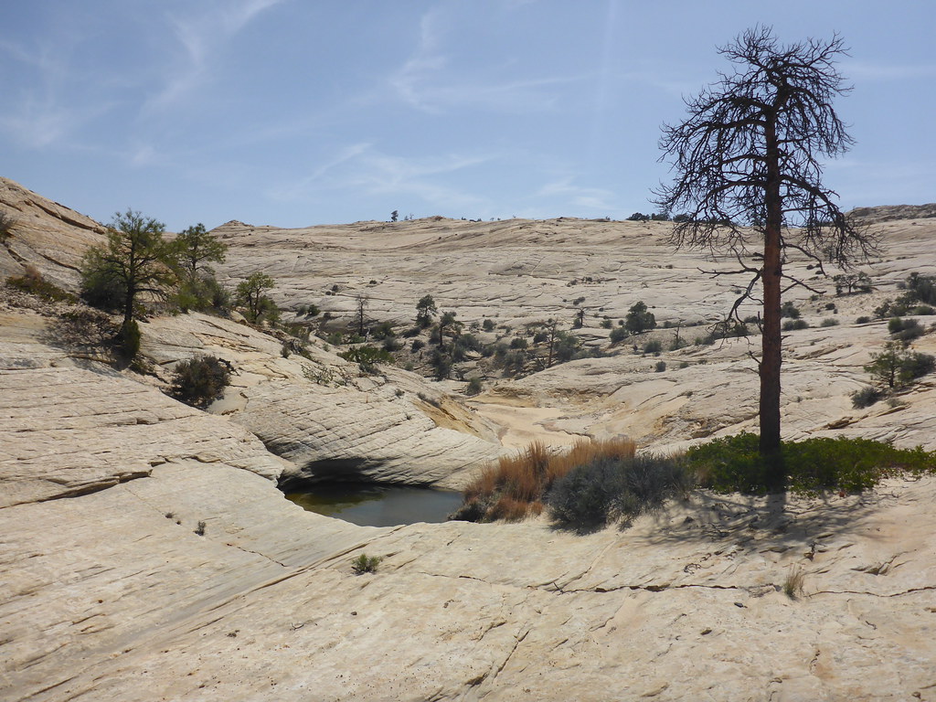
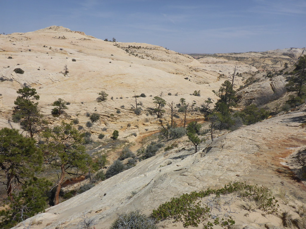
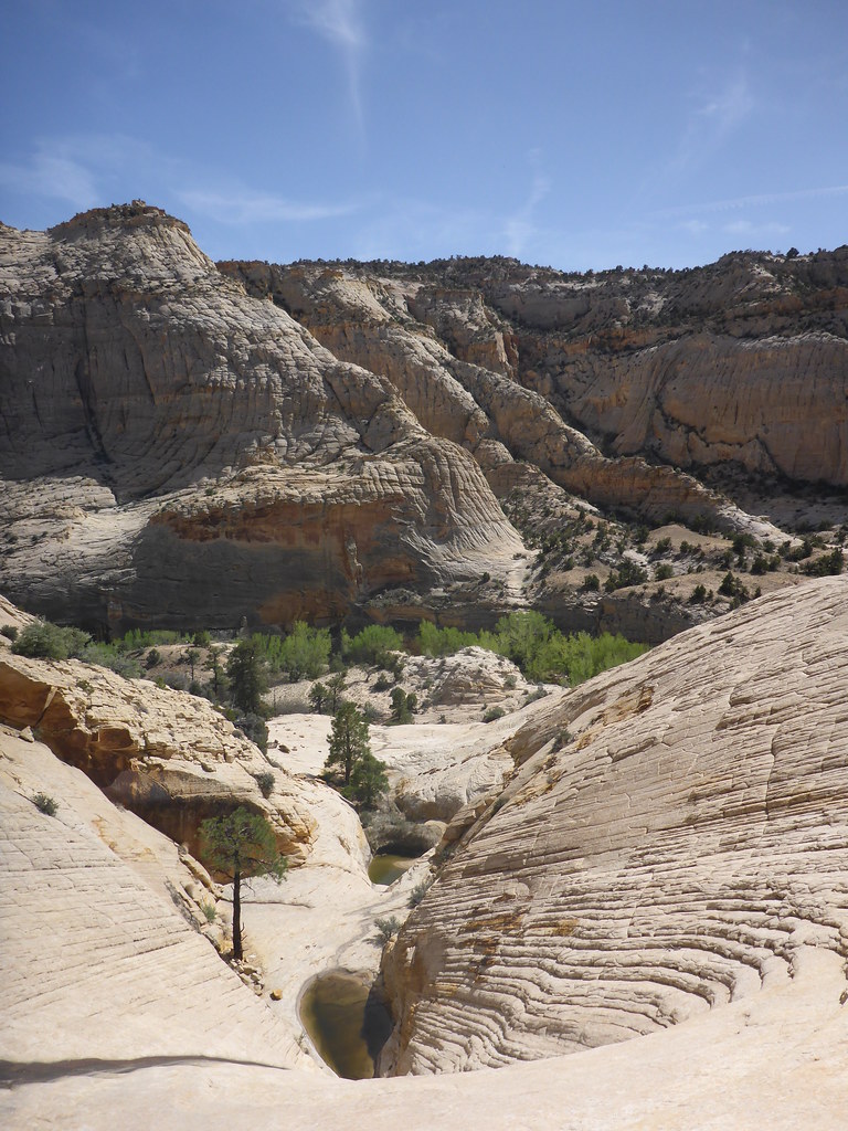
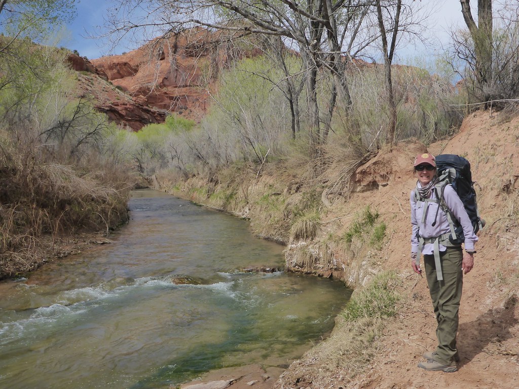
My friend in Escalante reported they only had sprinkles in town yesterday, but with the scattered nature of the showers I’m sure some areas received more.

I asked the Interagency Visitor Center about those repeated rapid pulses on the graph and they had no rationale. I wondered if the State Park reservoir was doing releases, if they ever do such a thing. Most important takeaway I got was it is a low flow spring overall. Maybe hot days will cause rapid snowmelt pulses?
I vaguely remember reading about river pulses in another trip report, but I can’t remember which one. So I guess it’s not a one-off phenomenon. ‍♀️
 
I hope you had a great trip! I’m looking at possibly doing the LDH/Wolverine loop this week. Did you end up encountering water in LDH?
We just got back, and I realize this reply might be too late. There is not water in LDH or in any of the slots we were in - not even in Zebra, despite my being told by the BLM a couple weeks ago that there was 18" then.
 
Cedar gnats were out at slickhorn the... Late afternoon to dark
I got a few bites - I think around dusk when it was shady and I took my hat off. The itching will remind me of my amazing trip!
 
For any who are interested, here's what I can tell you about water in the Escalante/Horse Canyon area (plus up above) from Tues 4/19 thru Fri 4/22.

We camped in Horse very close to the river - fabulous campsite! There was a trickle of undrinkable water in Horse. The Escalante at Horse was maybe 1' deep with some deeper pools. Downstream to Sand Slide (Wed) and upstream to Ladders (Thu) it was similar with some deeper pools (thigh high on my 5'4" body) that we occasionally had to cross. I don't know why the USGS water gage showed those peaks, and I'm not familiar with river pulses. It definitely didn't rain until Friday, and we didn't experience those pulses at all.

On Wed & Thu above the river (on the south side), we saw only a few potholes with water - maybe 5 at the most both days combined. And those potholes would only be usable under dire circumstances.

Friday, however, was a different day. Based on the forecast, we had left the river Thursday afternoon and went up Horse to Wolverine and camped just before it got narrower. Coming out of Wolverine on Friday, we got drizzle, then harder rain, then freezing rain. We enjoyed the gigantic chunks of petrified wood for as long as we could, and then we did the remaining mile really fast as it was cold and wet. I knew that the clay road could be a problem when wet, and we didn't have a sense of how wet was too wet. Fortunately we made it to pavement with no problem - loved Burr Trail! Then there was rain off and on the rest of the day in the Boulder area. Sooo... the conditions we had through Thurs may be very different from present conditions...
 
I drove over Boulder Mountain on Friday morning (4/22) and it snowed pretty good the whole way across. Picture is from the road high point. Got fair amounts of rain as I continued toward Colorado.

20220422_090452.jpg
 
Was anyone out that way this weekend? Also looking for a water/conditions report..... Leaving for that area tomorrow and one of my options was going to be LDH area. Wondering about roads and such...

Thanks!
 
We camped in Horse very close to the river - fabulous campsite! There was a trickle of undrinkable water in Horse. The Escalante at Horse was maybe 1' deep with some deeper pools. Downstream to Sand Slide (Wed) and upstream to Ladders (Thu) it was similar with some deeper pools (thigh high on my 5'4" body) that we occasionally had to cross. I don't know why the USGS water gage showed those peaks, and I'm not familiar with river pulses. It definitely didn't rain until Friday, and we didn't experience those pulses at all.
I think I have an understanding why downstream pulses were not apparent. The gauge is located where the Escalante River is quite small. I camped upstream of Death Hollow so I easily observed the pulses. It went from a clear 2" deep trickle to a foot deep chocolate milk. However, by the time the Escalante River reaches Horse Canyon, Death Hollow, Sand Creek, Boulder Creek, Deer Creek, and the Gulch add most of the flow to the river. Those were likely clear so the chocolate milk I experienced had diluted to imperceptible by then.

Wed:

Camp! Late Day 2 by John Morrow, on Flickr

Thurs:

minor flash sends tumbleweeds floating by John Morrow, on Flickr
 
I think I have an understanding why downstream pulses were not apparent. The gauge is located where the Escalante River is quite small. I camped upstream of Death Hollow so I easily observed the pulses. It went from a clear 2" deep trickle to a foot deep chocolate milk. However, by the time the Escalante River reaches Horse Canyon, Death Hollow, Sand Creek, Boulder Creek, Deer Creek, and the Gulch add most of the flow to the river. Those were likely clear so the chocolate milk I experienced had diluted to imperceptible by then.

Was anyone out that way this weekend? Also looking for a water/conditions report..... Leaving for that area tomorrow and one of my options was going to be LDH area. Wondering about roads and such...

Thanks!
Two weeks ago the east portion (Moody portion) of the Wolverine Loop Road had just been graded 30miles per hour smooth, as was the first two miles of Silver Falls (surprised that it gets bladed).

Water: Steve Allen listed large and medium potholes (LPH, MPH) all held water last week on the Boulder Mail Trail and Bowington Route:

large pothole by John Morrow, on Flickr

Mamie water by John Morrow, on Flickr

precious water! by John Morrow, on Flickr

leaving Steve Allen's key draw by John Morrow, on Flickr

d
escent route to river by John Morrow, on Flickr

Two weeks ago Main Fork Choprock had potholes and only a couple wades up to knee deep for a couple hundred feet:


avoiding a pothole by John Morrow, on Flickr


getting tight by John Morrow, on Flickr


shoes back on by John Morrow, on Flickr

Escalante River Crossing on 4/9, one mile downstream of Harris Wash:


time to ford! by John Morrow, on Flickr
 
looks like a lot of available water..
 
I drove over Boulder Mountain on Friday morning (4/22) and it snowed pretty good the whole way across. Picture is from the road high point. Got fair amounts of rain as I continued toward Colorado.

View attachment 109271
Wow! On our way back to SLC, we were there one day later and there was evidence of snow, but it certainly didn't look like this!
 
Was anyone out that way this weekend? Also looking for a water/conditions report..... Leaving for that area tomorrow and one of my options was going to be LDH area. Wondering about roads and such...

Thanks!
Roads are still good. I was just on Wolverine Loop yesterday- few ruts where people had driven through wet spots, but nothing major. Most of it was still super smooth. I didn’t end up doing LDH, but I ran into a returning hiker in Wolverine Canyon and he reported some water in the canyon, though I didn’t ask how much.
 
I just got back from Escalante/Glen Canyon. The Escalante River was running low. I spoke to some packrafters that said they never noticed the flow surges show on the USGS site. The river was also disturbingly warm. There is still some water in potholes in shadier locations. We also had 2 major windstorms over 4 days.
 
I just got back from Escalante/Glen Canyon. The Escalante River was running low. I spoke to some packrafters that said they never noticed the flow surges show on the USGS site. The river was also disturbingly warm. There is still some water in potholes in shadier locations. We also had 2 major windstorms over 4 days.
Hope you had a great trip, despite the windstorms!
 
2 more windstorms! I don't ever remember an April with so much wind in southern Utah. My memory was the wind was always associated with one or two, maybe three cold front passages per April.
 
Thanks @Janice I did. At least the second one was on the hike out. The first blew all night and covered us with that fine, silty river sand. I had to reseat my tent stakes a few times.

I just flew back from NYC. There was a thick brown layer of dust covering southern UT and NV from the windstorms on the way out and back. It's going to be an ugly fire season if the storms continue with the warmer temps, as is happening in NM.
 
La niña, la bruja!
 
2 more windstorms! I don't ever remember an April with so much wind in southern Utah. My memory was the wind was always associated with one or two, maybe three cold front passages per April.

My fence just blew down today from all the wind we've had this spring!
 
We’re in Boulder, Utah, right now and there have been high wind warnings for the past two days.
 
Been more wind up here all winter and now
 
Similar threads
Thread starter Title Forum Replies Date
RyanP Sawyer Squeeze questions: how to pre-filter, and recommended dirty-water bag? Gear 30
B Is there water at Colt Mesa tank - Escalante Trip Planning 6
Janice Caching water? General Discussion 8
Bob 206 mile water trail Trip Planning 0
kwc Smoke on the water … fire in the sky … General Discussion 6
JBG Water Beta 2022 - Highline Trail Trip Planning 6
regehr potable water in Escalante town? Trip Planning 6
regehr water in lower muley twist? Trip Planning 0
Nethos Another water post(Bowdie/Midway) Trip Planning 10
H Access to Grand Gulch via Water Canyon Trip Planning 2
CodyL Winds- Big water slide Trip Planning 3
Gretchen Millward Trachyte Creek conditions/water Trip Planning 0
B In Government Trail and out Water Canyon Trip Planning 3
Christo Water availability:Thorofare Yellowstone Trip Planning 6
RyanP road from Hite to Water Hole Flat Trip Planning 20
JBG Water on the Highline Trail - 2021 Trip Planning 2
garyhost Cedar Mesa Utah Trip. Conditions? Water? Trip Planning 8
RyanP Conditions (water/bugs) for Escalante/Death Hollow Trip Planning 27
J Grand Gulch (Kane to Bullet) Water Availability Trip Planning 9
E Water in the Needles early-May 2021 Trip Planning 3
S Packrafting Escalante - FiftyMile Creek and low water level Lake Powell Trip Planning 8
F Stevens Canyon/southern escalate water availability. Trip Planning 16
gnwatts Grand Gulch water Trip Planning 6
W 9 Days Solo Escalante Loop in October (water advice) - Stevens Canyon, Baker Route over Waterpocket fold, Halls Narrows to Moody Canyons Trip Planning 11
M Dark Canyon Complex Water Data Trip Planning 4
P Salt Creek water Backpacking 2
P Pitchstone Plateau water Backpacking 7
C Paria Canyon water source - August 2020 Trip Planning 2
OldBill Water treatment tablets and Cryptosporidium Gear 15
I Water in Frisky Creek south of Highway 12 in the Grand Staircase? Trip Planning 0
DrNed Water Sources McKee Draw to Leidy Peak Trip Planning 12
M Water containers Gear 28
fossana UT 2020 water outlook General Discussion 2
Rockskipper Maybe it was the BBQ sauce (guy survives 3 weeks w/ no food or water after getting lost) General Discussion 0
regehr Water higher up in Virgin Springs Canyon? Trip Planning 17
RyanP Water in Needles District in early April this year? Trip Planning 9
RyanP 3-day trip ideas (15-20 miles or so) for late May/early June with good water Trip Planning 9
M Water in Canyonlands Salt Creek early April? Trip Planning 11
Mikjik86 Desert Canyon/Water Shoes? Gear 9
Artemus 2018/2019 Snowpack and Water Year General Discussion 85
gnwatts Water Canyon on Cedar Mesa Backpacking 11
LarryBoy Water source information - Escalante/CRNP area Trip Planning 14
gnwatts Water Canyon (Cedar Mesa) top down General Discussion 11
O Green River/Stillwater Canyon question regarding water Trip Planning 3
blueeyes Black Canyon Water Trail On The Water 16
T Water availability next week in Cedar Mesa & Escalante areas Trip Planning 5
AKay09 5 day hike with lots of water and fishing? Trip Planning 13
KevinBoyer New Water Filter Needed...Suggestions?? Gear 48
Miya Water Resistant Down Sleeping Bags? Gear 36
D Water near EC3 Trip Planning 1

Similar threads

Back
Top