HOMEWARD BOUND
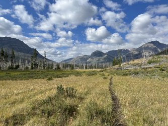
It was smoky again on the morning of day 11 (Tuesday). I packed up and hiked back up the trail towards Marston Pass. The trail is pretty easy, and it was still scenic despite the conditions. The wind was howling when I reached Marston Pass, but I had lunch there anyway because I wasn’t quite ready to leave the high country behind.
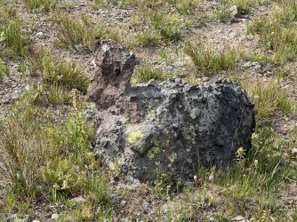
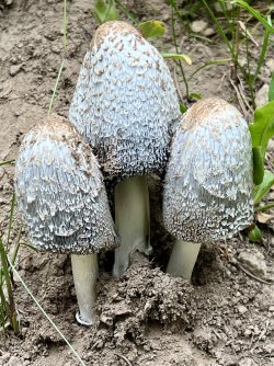
It's a duck! Or maybe a chicken?
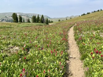
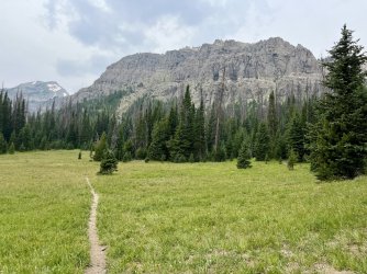
The trail to Marston Pass
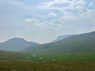
Hazy morning at Lost Creek
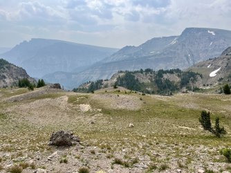
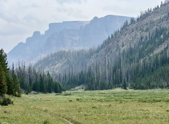
View from Marston Pass
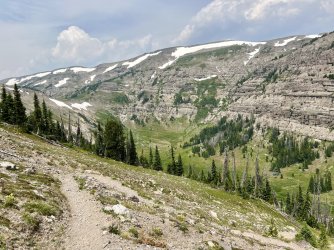
View near Marston Pass
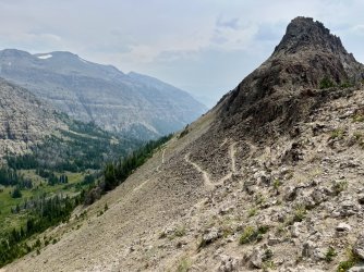
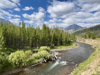
The trail down Marston Creek
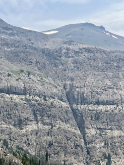
It looks like Thor hit this mountain with his hammer

The trail to Marston Pass

Hazy morning at Lost Creek

View from Marston Pass

View near Marston Pass

The trail down Marston Creek

It looks like Thor hit this mountain with his hammer
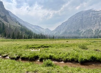
Eventually I headed down the Marston Creek Trail to escape the wind. The trail was in great shape, and the descent was easier on my joints than I expected. The upper part of the trail is scenic, despite the abundance of dead trees. I took a break in a large meadow near Marston Creek below the soaring cliffs of Wall Mountain. While I was there a large horse party descended the trail behind me and then headed over towards the creek. It was the first people I’d seen since day 5 – almost a full week ago.
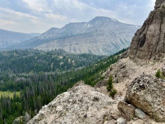
From there I continued down the valley parallel to Marston Creek. Most of this valley burned some years ago, and the damage was severe. Healthy trees were few and far between. Despite that, there were some nice views from the lower meadows. I passed one stretch of healthy forest near Marston Creek that might have had campsites. However, it wasn’t that late and I wanted to cover as much distance as possible.
I continued down to the South Fork Shoshone River. My tentative plan was to camp on the far side of the river in a meadow. I had noted that spot on my hike in a week earlier. However, when I neared the river I saw a large outfitter group camped there. Backtracking up Marston Creek wasn’t appealing, so I decided to hike on.
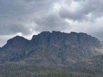
Ominous
I continued another mile or two downstream. Most of the forest was burned, and standing dead trees were everywhere. It was still very windy, too, which isn’t a good combination. Eventually I spotted a stand of healthy trees close to the river. I dropped down to that spot, but I still had trouble finding a place that wasn’t in range of a possible falling tree. Finally I stumbled upon a sandbar in some willows close to the river. I set up there and headed to the tent shortly after sunset.
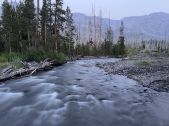
THE NINTH CIRCLE OF HELL
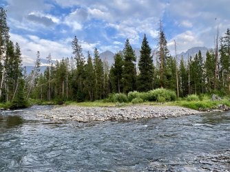
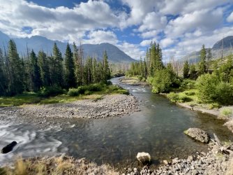
It was cold Wednesday morning down by the river, which led to a slow start. I returned to the trail and resumed the hike downstream. The morning was actually quite nice, with pretty clouds and lovely views of the river and the surrounding mountains.
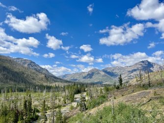
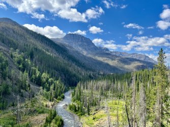
The afternoon was a different story. It was miserably hot in the burned forest, and the heat was magnified by a scorching wind. At least the numerous creek crossings were refreshing. They were also a lot easier than they had been on the hike in. It is amazing how much those creeks changed in a little more than a week. The depth of each creek didn’t change much, but the current had dwindled in each one.
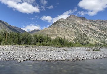
Another large outfitter horse train passed by on their way in. The wilderness almost seemed crowded after having almost total solitude for most of the trip.
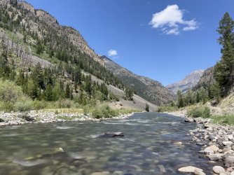
I found a shady spot near the river for a late lunch. That provided a nice break from the sun. Later that afternoon I climbed up and around the upper slot canyon. Then I dropped down to cross Saddle Creek and Needle Creek. Needle Creek was still the toughest ford, but it wasn’t scary like it had been back on day 2.
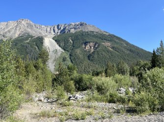
Old mining scar? Near Needle Creek.
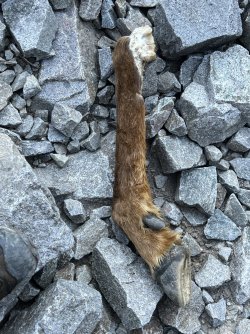
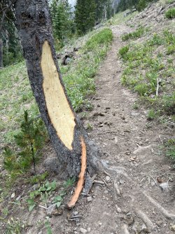
I'm glad I wasn't planning to camp near here
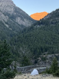
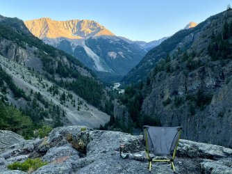
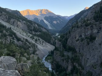
I could have camped near the old mining cabins near Needle Creek again that night, but I had a different plan in mind. I continued on, and made the tedious, rocky climb to the cliffs above the lower slot canyon and across from Fall Creek Falls. I explored the cliff area and eventually found a reasonable spot for my tent. It was rocky but flat and close to the best views up the canyon and across to Fall Creek Falls.
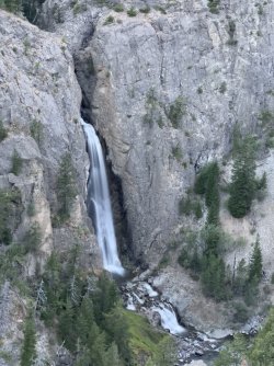
I hiked down the Fall Creek Falls Trail a short distance to a small stream for water. I had to bash my way through a tangle of briers to reach it though. Fortunately, I got enough water that I only had to do that once.
I enjoyed one last scenic dinner and sunset before heading to the tent.

LET’S GET THE SHOW ON THE ROAD
I woke at 6am Thursday. I needed to be at the Cedar Rapids, Iowa airport by noon on Saturday. All I needed to do to get there was to pack up, hike out 5 ½ miles, and drive 17 hours. And eat a lot. And probably sleep a lot, too. So I was pretty motivated. Motivated enough to enjoy some morning alpenglow at sunrise but still get on the trail by 8am.
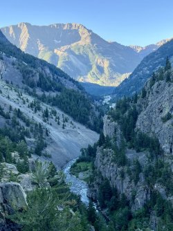
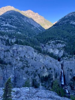
I did make a quick side trip to check out the lower slot canyon, which I had mostly missed on the hike in.
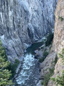
The hike out was uneventful. I passed one small horse party with only 2 people. It was starting to get pretty hot towards the end of the hike. Fortunately I reached the car a bit before noon. At that point I had a few granola bars and less than an ounce of stove fuel remaining. My phone battery was at 14%, and both of my power bricks were dead. I had a few squares of toilet paper remaining. Either I planned well or I was lucky. Or both.
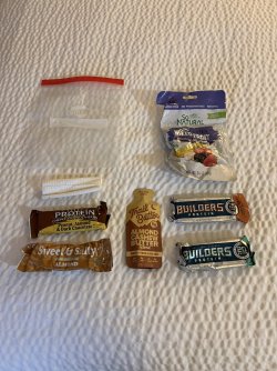
My remaining food after 13 days on the trail
I also finished with 5 socks. How did I finish with 5 socks? Well, apparently I started with 5 socks. The extra sock was stuck inside my fleece pullover. Oddly, that actually worked out for me, as one of the other socks developed a hole in the heel early on. So at least I had 4 wearable socks.
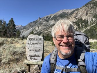
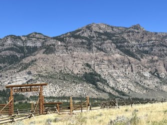
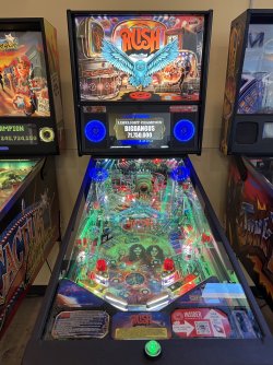
On the drive out I stopped at a bridge over Boulder Creek and took a bucket bath. Then it was on to Cody, where I stopped at Cody Craft Brewing for a much anticipated and deserved meal. The beer was good, but the food was disappointing. A disappointing meal after a 13 day backpacking trip is nearly inconceivable. Maybe my expectations were too high. The highlight was probably their collection of vintage pinball machines. It was either that or the beer.
I stopped at a post office farther down the road and mailed my bear spray home. I enjoyed a scenic drive through the Bighorns, but it was shocking to see that it was 93 degrees when I passed through the community of Tensleep at 5:30. I picked up a pizza and crashed at a hotel in Gillette that night. I spent the evening packing for my flight.
I had a decent breakfast at Lulu’s in Gillette the next morning. I spent the rest of my birthday driving. Most of it was pleasant, except for the stretch between Sturgis and Rapid City. I really need to plan these trips so that I’m nowhere near that area during bike rally week.
I had the obligatory lunch at Taco Johns and made it all the way to Sioux City, Iowa for the evening. I had a great meal – finally! – at Marto Brewing Company downtown.
I got another early start Saturday morning. I stopped at Panera Bread for coffee and a bagel and then drove across Iowa. I made it to the Cedar Rapids airport a little earlier than expected. I returned the rental car, checked my bag, had lunch, and even had time to buy a little stuffed cow from a gift shop for my son.
The flight to Dallas was smooth. I had a long layover, which became longer when I was notified that my flight from Dallas to Asheville was cancelled. Of course something would have to go wrong. I was able to rebook a flight to Greenville, SC. That was inconvenient, but not as bad as spending the night in Dallas. Then the flight to Greenville was delayed because, apparently, someone forgot to put gas in the plane. A reasonable person might think that getting gas for an airplane would be really easy at a major international airport, but that reasonable person would also be wrong. That delay took another 2 hours, incredibly. I was originally supposed to land in Asheville at 10pm, which would have gotten me home by 11. I ended up landing in Greenville at 1am and getting home at 2.
That wraps up another great adventure in the Rockies for me. Part of me wants to do another long, solo backpacking trip, but another part of me doesn’t want to be away from my family that long. I’m hoping that we can do a true family trip together next summer.
