![IMG_E0289.JPG IMG_E0289.JPG](https://backcountrypost.com/data/attachments/139/139750-94db583ede3e1bc7d98944c918f7c206.jpg)
BACK ON TOP (OF THE WORLD)
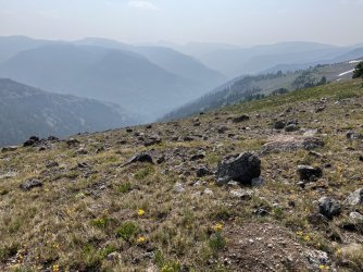
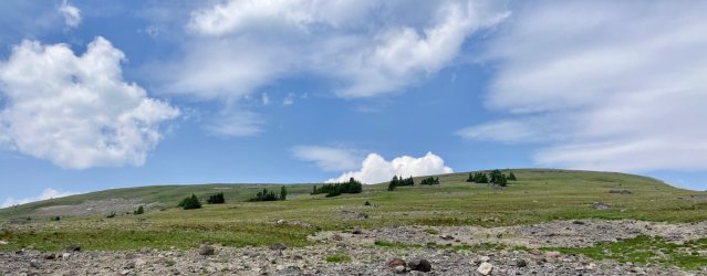
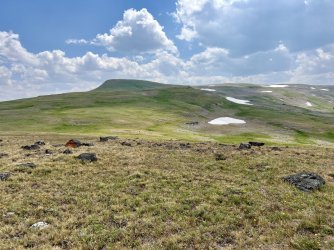
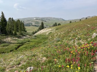
The wind was still howling when I got up Monday morning. It was still smoky, too. At least the weather forecast looked good. I packed up and headed back up Senecio Creek. This time I stayed on the River Left side to avoid deadfall, which was much smoother. I climbed up to the Continental Divide and followed it south. The wind was brutal, and the howling was deafening. I climbed over a couple of peaks and passed through the intervening gaps, fighting the incessant wind the whole time.
![IMG_0378.jpg IMG_0378.jpg](https://backcountrypost.com/data/attachments/139/139751-0a7b14707d164f20b2c29e89b8ddbdaa.jpg)
![IMG_e0199.JPG IMG_e0199.JPG](https://backcountrypost.com/data/attachments/139/139753-91e7ddf3dd3012eb833b9f56b8cdceec.jpg)
![IMG_E0208.JPG IMG_E0208.JPG](https://backcountrypost.com/data/attachments/139/139754-3cf807e1a6d0af0ad4cf6e8e909bd9d1.jpg)
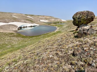
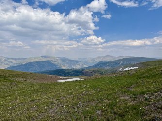
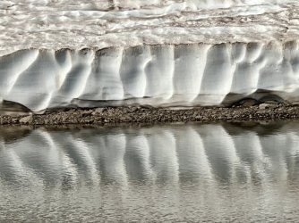
An alpine tarn and a really cool rock
I climbed up to the overlook of Tri County Lake, which was just as lovely as it had been the previous day.
![IMG_E0236.JPG IMG_E0236.JPG](https://backcountrypost.com/data/attachments/139/139755-fb4c5961a724a6295421adaaeff82186.jpg)
Tri County Lake again
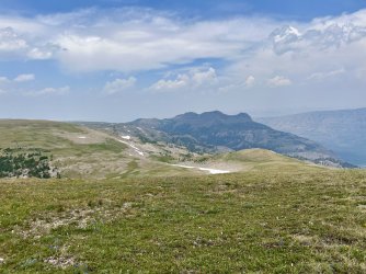
From there I continued following the divide south, passing the point where I’d joined the Continental Divide the previous day. The wind was really pushing me around along this stretch. I felt like a human pinball, just getting bounced around as I fought my way along the crest of the western United States.
![IMG_E0247.JPG IMG_E0247.JPG](https://backcountrypost.com/data/attachments/139/139756-343f79940dfb11d0c2966eac55356404.jpg)
![IMG_E0249.JPG IMG_E0249.JPG](https://backcountrypost.com/data/attachments/139/139757-81bfa3b11fbf5a4bf747919fa7eb4dec.jpg)
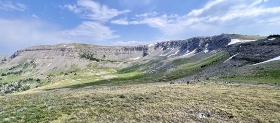
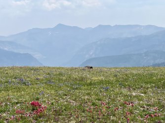
You might think that the Continental Divide runs along one of these ridges. Nope, it is perpendicular to them.
![IMG_E0251.JPG IMG_E0251.JPG](https://backcountrypost.com/data/attachments/139/139758-042b9deef8d08fa3dd5d478c855acab6.jpg)
![IMG_E0252.JPG IMG_E0252.JPG](https://backcountrypost.com/data/attachments/139/139759-2a5ce34bc0c9d8d2319e4a5c167b5b08.jpg)
![IMG_E0255.JPG IMG_E0255.JPG](https://backcountrypost.com/data/attachments/139/139760-9e9e4d74d24058865fb2807c7d5a91ee.jpg)
![IMG_E0265.JPG IMG_E0265.JPG](https://backcountrypost.com/data/attachments/139/139761-66684585fd29105a1b0cedd49196a6ce.jpg)
![IMG_E0279.JPG IMG_E0279.JPG](https://backcountrypost.com/data/attachments/139/139762-d3c219937cb631f9d45ce91418ffd2a7.jpg)
By the time I descended to the gap at the head of the North Fork Buffalo I was beginning to go insane. Imagine hours of non stop howling right into your ear! Normally I look for a scenic spot for lunch, but on this day I settled for a bit of shelter under a clump of dwarf fir trees.
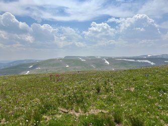
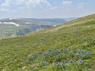
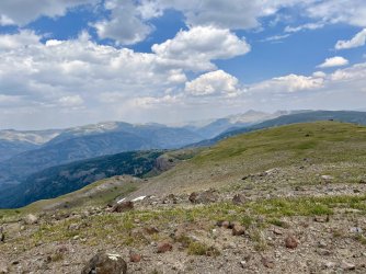
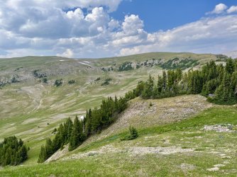
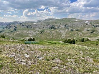
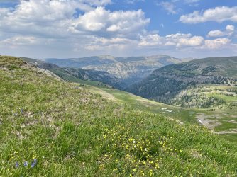
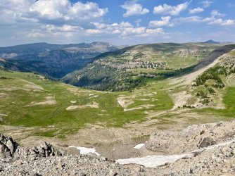
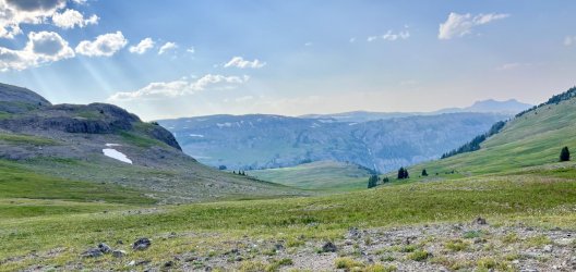
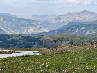
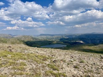
That afternoon was probably the most scenic stretch of the whole trip. The persistent wind eventually cleared the smoke away, and the views were spectacular from the meadows along the undulating Continental Divide.
![IMG_E0281.JPG IMG_E0281.JPG](https://backcountrypost.com/data/attachments/139/139763-dce9a84c8e47c06b1c4981b92621f94b.jpg)
![IMG_E0282.JPG IMG_E0282.JPG](https://backcountrypost.com/data/attachments/139/139764-5255d532f86d91039f769f02423ce244.jpg)
![IMG_E0288.JPG IMG_E0288.JPG](https://backcountrypost.com/data/attachments/139/139765-d55a54b91970fc8e5a0d99884bcb95be.jpg)
![IMG_E0294.JPG IMG_E0294.JPG](https://backcountrypost.com/data/attachments/139/139766-2f33f0f71995be1ed7dc2ef65c2332ad.jpg)
![IMG_E0295.JPG IMG_E0295.JPG](https://backcountrypost.com/data/attachments/139/139767-b7ded74bf12871ae0d48bf4b6e7b674a.jpg)
![IMG_E0302.JPG IMG_E0302.JPG](https://backcountrypost.com/data/attachments/139/139768-9439e14f4e386f73bac2da6d4e02020d.jpg)
![IMG_E0303.JPG IMG_E0303.JPG](https://backcountrypost.com/data/attachments/139/139769-7b600489fdccdc28ce0eab716b899c40.jpg)
![IMG_E0305.JPG IMG_E0305.JPG](https://backcountrypost.com/data/attachments/139/139770-520079763ad441928e4a2474a464ac28.jpg)
My favorite views were out over Ferry Lake. The lake sits on a plateau, with waves of mountains in the distance. The views were stunning, and the smoke gradually dissipated as the afternoon stretched on.
![IMG_E0320.JPG IMG_E0320.JPG](https://backcountrypost.com/data/attachments/139/139771-da87c15739c0df20a0a61b1e1e0d94db.jpg)
![IMG_E0323.JPG IMG_E0323.JPG](https://backcountrypost.com/data/attachments/139/139772-5c07e9e55f50f69d0249476c82ae0b9b.jpg)
![IMG_E0327.JPG IMG_E0327.JPG](https://backcountrypost.com/data/attachments/139/139773-99d824aaf3eb16179f63254928ab1363.jpg)
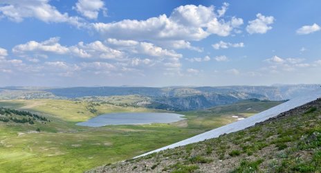
Descending this was the only tricky part of the day's route
The walking was mostly easy, aside from the wind knocking me around. The only real hazard was the danger of stepping in a rodent hole, which happened frequently. Late that afternoon there was one steep descent. The normal route would have been straight down the ridge, but it was steep and snow covered. Instead of risking it, I veered left and picked my way slowly down a steep hillside covered in small rocks and scree. I picked my way down carefully, reaching a gap and a junction with the Woodard Canyon Trail.
![IMG_E0330alt.jpg IMG_E0330alt.jpg](https://backcountrypost.com/data/attachments/139/139774-21de67812e2f9f5b75ae1de84b3e6bea.jpg)
![IMG_E0335.JPG IMG_E0335.JPG](https://backcountrypost.com/data/attachments/139/139775-b54b53f850c24d567b03fc8f0581bb10.jpg)
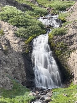
I picked up an actual trail there, which I followed down to the Marston Pass Trail. I followed that one down to the base of a pretty waterfall. I climbed to the next ridge, and I headed out to a spot where I’d camped back in 2022. It’s not a very comfortable spot, due to the lumpy ground, but it has a great view of that waterfall!
![IMG_E0355.JPG IMG_E0355.JPG](https://backcountrypost.com/data/attachments/139/139776-8f8eeb5b84024b94387c9806ddd1d136.jpg)
![IMG_E0358.jpg IMG_E0358.jpg](https://backcountrypost.com/data/attachments/139/139777-0250439ac65c3d440d9a84a6ea9ee6ee.jpg)
Another campsite with a great view
I had originally hoped to hike beyond Marston Pass and on to the headwaters of the South Fork of Yellowstone River so that I could climb Younts Peak the next morning. However, I’d spent so much time exploring elsewhere that I didn’t really have the time or energy to include that in this trip. Instead I would get a head start on the hike out the next day.