- Joined
- Dec 23, 2013
- Messages
- 4,285
I had a day I needed to burn before May 8th at work so I took Wednesday off and headed to the hills. I've been cycling most of the spring with only one hike up the Avenues Twin peaks to my credit. So my hiking legs probably aren't what they should be. I decided to head up Mount Van Cott from my home, summit Van Cott then head east across what I call the Van Cott Ridge. Once at the end of the ridge, I'd head north to gain the Black Mountain Ridge, then take the trail back down the north ridge of City Creek home, summitting the Avenues Twin Peaks for good measure. Once I hit the top of Black Mountain Ridge, I decided to head to the highpoint of the ridge so that I could get a good shot of Grandview Peak before turning around and heading home. It was roughly a 13 mile day, and it took me 10 hours and 8 minutes to complete it. This include a lot of picture taking and a long lunch on the high point of Black Mountain Ridge.
I found the hike to be rather chilly. It was supposed to get up to 54 degrees in the valley, so probably in the 40's up on the ridge. While the sun was out most of the day, once on the ridges the wind was whipping pretty good. I did find as long as I was headed up I was okay, but when I stopped to break, or eat my lunch, it got chilly. Also I was chilled on my way down.
When all was said and done, I was pretty pooped after this one.
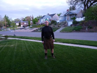
Excitement is just pumping through my veins before taking off
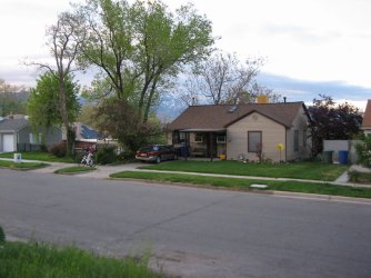
I left at the same time that Sheila took off, cycling to work
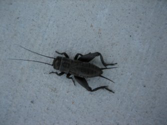
A black cricket heading up the hill on my way to 11th Avenue
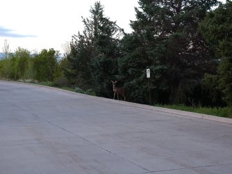
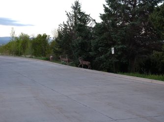
Some deer at the fire station on 11th Ave.
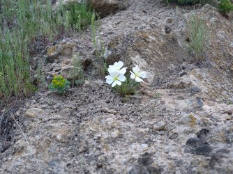
Evening-primrose on my way to Dry Canyon
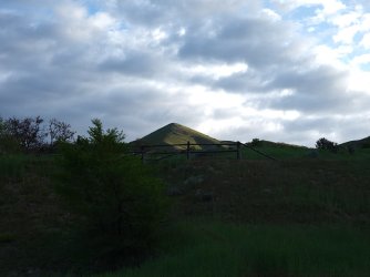
Sunrise on the south summit of the Avenues Twin Peaks
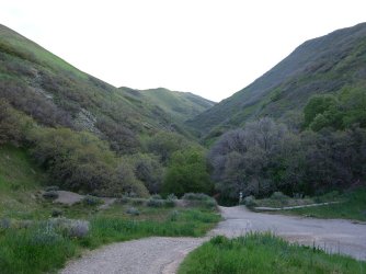
Arriving at the mouth of Dry Canyon
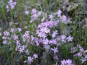
Long leaf phlox
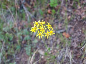
Groundsel
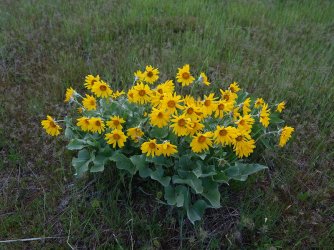
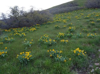
Balsamroot on the slope of Mount Van Cott
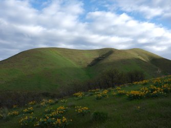
Sun hitting the ridge on the northwest side of Dry Canyon
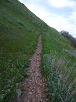
Beginning the climb up Van Cott. This used to be an old Jeep road.
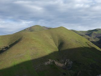
The Avenues Twin Peaks in the distance, where I will be later in the afternoon hopefully
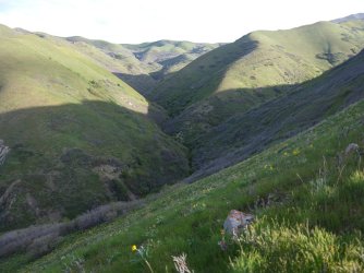
A look up the North Fork of Dry Canyon. I should be making my way across the ridge at the head of the fork later in the day.
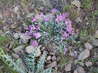
Vetch
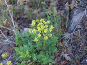
Pungent desert parsley
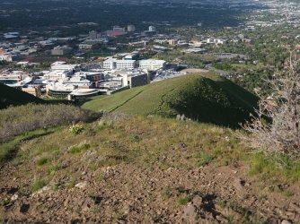
I headed up the western ridge of Van Cott this time instead of just following the Old Jeep road. University of Utah Hospital and
Huntsman Cancer Center below.
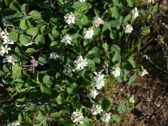
Utah Service Berry
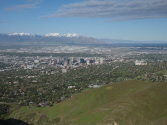
A look back at downtown Salt Lake City
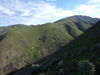
First look at Black Mountain
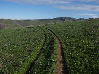
Back on the old Jeep road near the summit of Van Cott. The Dude Benchmark in the distance
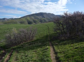
Coming off the summit of Van Cott and hooking up with the trail that will take me across the Van Cott Ridge with Black Mountain
dead ahead.
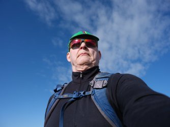
Cycling caps don't provide much eye shade when heading directly into the sun.
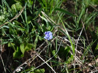
Forget-me-nots
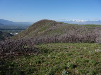
Looking back at the summit of Van Cott
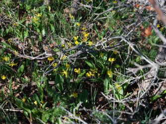
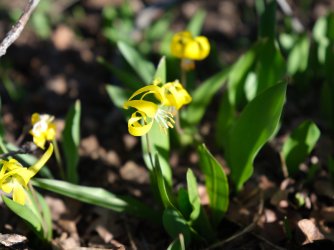
Glacier lilies
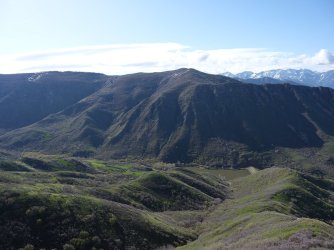
View to the south at Mount Wire, with Red Butte Reservoir below
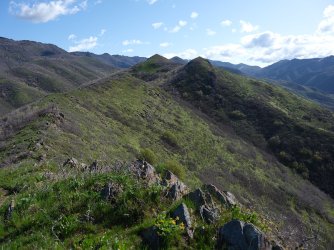
Some bumps to go over on the Van Cott Ridgeline. View is looking northeast.
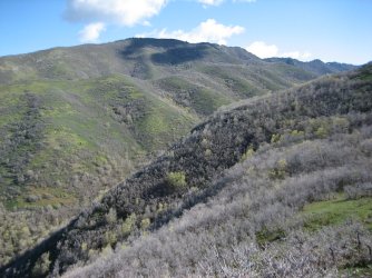
Black Mountain above
At this point I started to hear turkeys gobble coming from the slope across the South Fork of Dry Canyon. I'd stop and look over to see if I could see any movement in the direction of the sounds, but they wouldn't come out of the scrub oak. After a bit, I thought they may be plotting against me. Gobblers on my tail @Rockskipper! They are a clever birds indeed. Hokies on my tail is almost as bad as hellhounds on my tail!
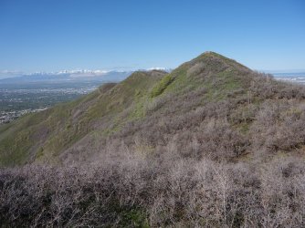
Another look back to the southwest and the Van Cott Ridgeline
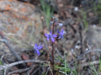
Larkspur on the ridge
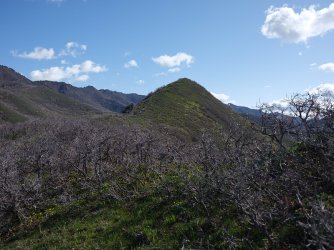
One more major hump to go
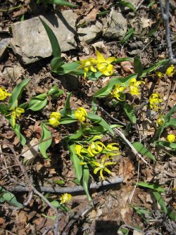
More lilies
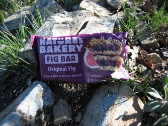
1st break. Time to get some calories in me before I begin heading up Black Mountain
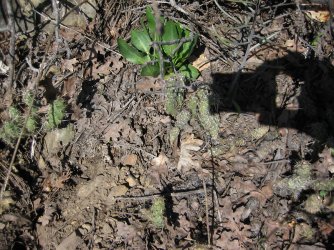
Some cacti
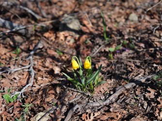
Yellow Bells
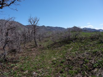
Heading towards the saddle above the South Fork of Dry Canyon
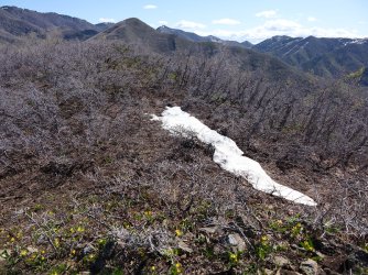
First snow encounter
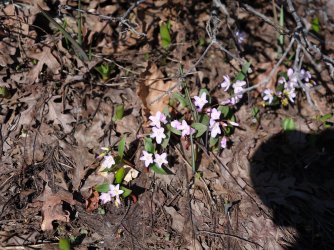
Spring beauties
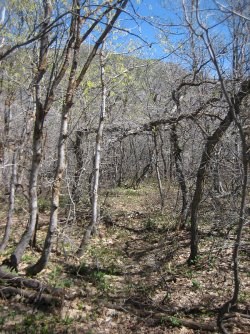
At the end of the ridge to social trail becomes more of an elk trail
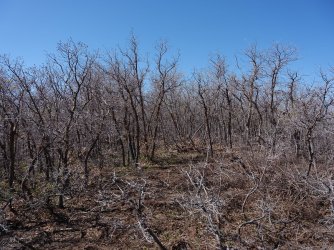
Hard to stay on at times
At this point I was hoping that @regehr had blazed a top notch trail up to the summit of the Black Mountain Ridge, but if he had, I couldn't find it.
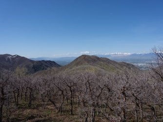
Fromm the saddle above the South Fork of Dry Canyon, looking back at the Van Cott Ridge
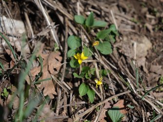
Utah violet
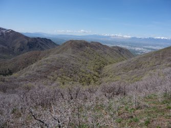
Another shot of the Van Cott Ridge and looking down the South Fork of Dry Canyon
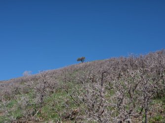
Heading up Black Mountain in earnest now. I'm heading towards that lone mountain mahogany on the hill
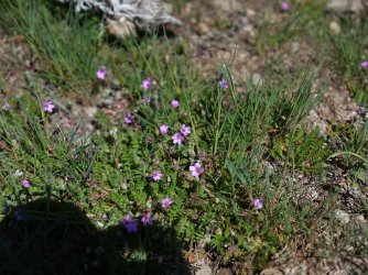
Common storksbill and a Scatman shadow
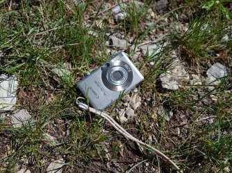
I stopped for a second break under that lone mountain mahogany in order to eat a Kind Bar and take this shot of one of my
cameras I took on the trip. It's battery did not like the cold, and would eventually run out of juice.
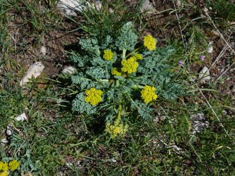
Spring Parsley
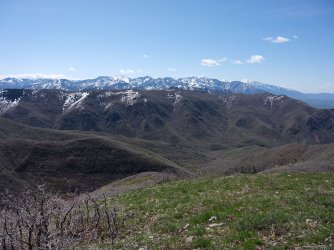
Getting some better views of the Wasatch Mountains the higher I get
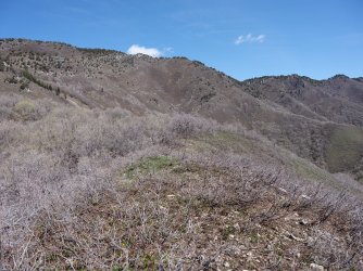
Hey, only 1100 feet in just over seven tenths of a mile. Looking up at the top of the Black Mountain Ridge where I am heading
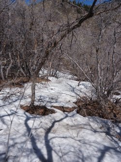
Patches of snow here and there on the bushwhack
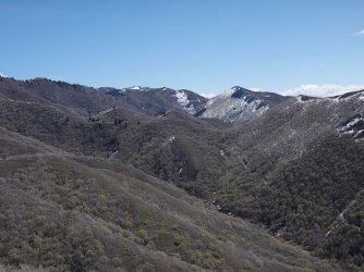
Looking up towards the head of Red Butte Canyon
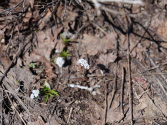
Nor sure what this is. Does anyone know?
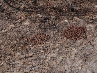
Just follow the elk droppings is my motto.
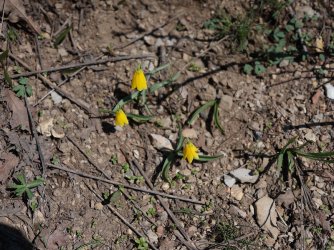
More yellow bells on the south slope of Black Mountain
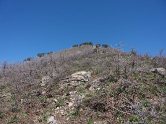
My left knee was not liking this. In training for a @Bob tip, straight up is the only alternative.
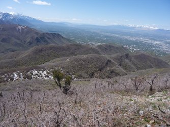
Looking back down on the route I have come. The Van Cott Ridge is the second ridge in the image
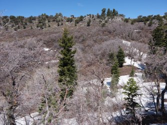
Lord have mercy! Getting close at least.
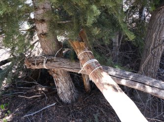
Not sure what is going on here?
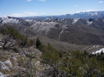
Looking east with the Uintas in the far diatance
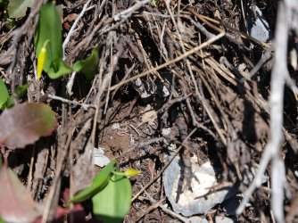
The back end of a small horned toad. It was kind of shy.
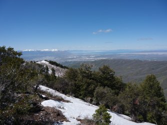
On top of the Black Mountain Ridge, looking west.
So at this point I decided that I wanted to reach the high point of the ridge. I had forgotten that the butt pucker scramble section was between me and the high point, so I had some scrambling and downclimbing to do, which I'm sure would have been comical to watch with my hiking poles in one hand, and having to be careful of my camera attached to the shoulder strap of my pack. This raised the butt pucker facto for me at least.
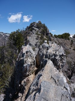
Heading into the scramble part
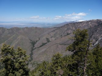
A look up the North Fork Drainage in City Creek Canyon. Snow covered Francis Peak, above Farmington, is in the far distance.
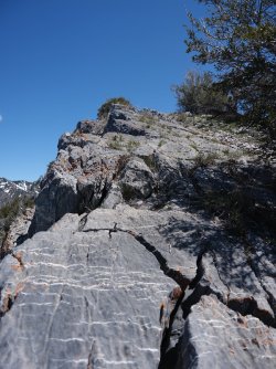
A little scrambling left to do to reach the high point
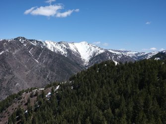
This is the view that makes the high point worth it. - Grandview Peak.
Now some summit shots
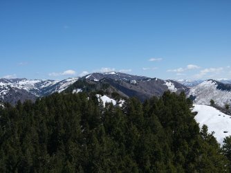
Lookout Peak to the east
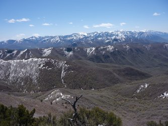
The Wasatch Mountains to the south
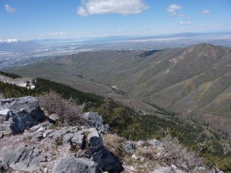
View down City Creek Canyon
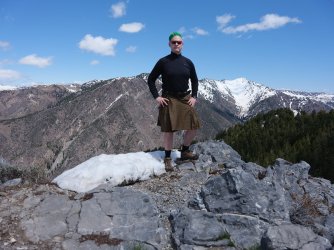
On the high point
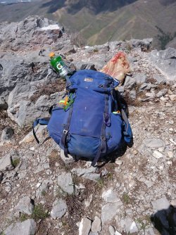
Lunch time
I had hauled my long lens up with me, so after lunch I took it out and took some shots with it
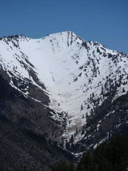
Grandview Peak and Cottonwood Gulch
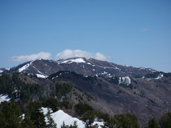
Lookout Peak
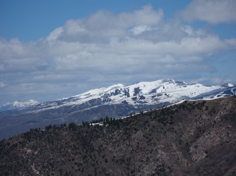
Francis Peak to the north
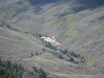
The under construction water treatment plant in City Creek Canyon that will keep me from reaching my 40th year in a row of cycling
to the top of City Creek this summer.
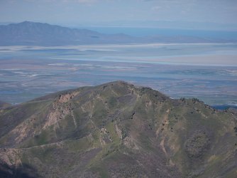
The Dude Benchmark to the northwest, with Frary Peak beyond, across the Great Salt Lake
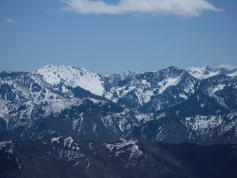
Gobblers Knob and Mount Raymond to the south
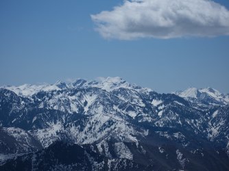
Broads Fork Twin Peaks to the South. If you look closely, you can also see Grandeur Peak below the twins, and below Grandeur is
Perkins Peak of Parleys Ridge fame.
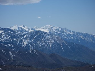
Lone Peak to the south, with Mount Olympus below Lone.
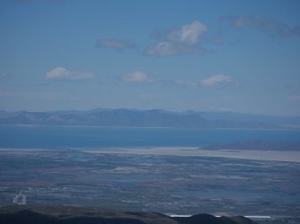
To the west and Stansbury Island across the Great Salt Lake, with the Lakeside Mountains beyond.
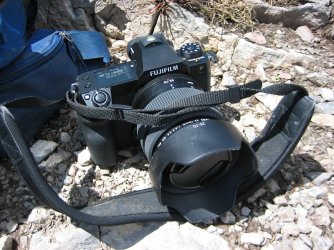
The big gun.
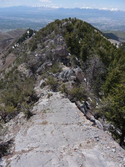
Heading for home. The scramble portion is easier in this direction because you are climbing up
instead of downclimbing
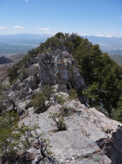
This part ahead is much easier to climb up that to come down
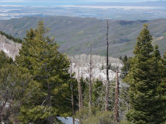
A nice stand of aspen, yet to get their leaves, on the north slope of the ridge
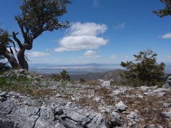
Antelope Island off in the distance
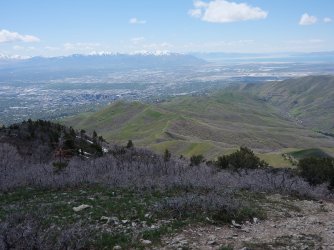
The road home along the south ridge of City Creek Canyon for the most part with the Avenues Twin Peaks at the end of another
old Jeep road
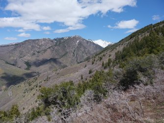
One last look up City Creek Canyon towards Burro Peak and Grandview Peak
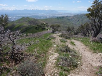
Making some headway coming down the ridge
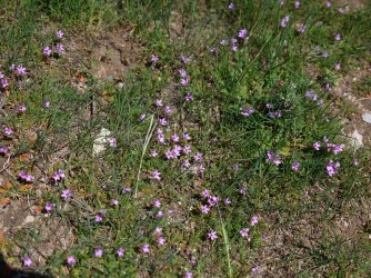
Common storksbill
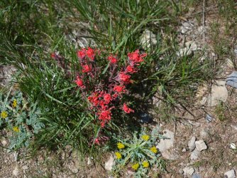
Running into my first paintbrush
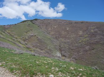
A look back up at the western edge of the Black Mountain Ridge
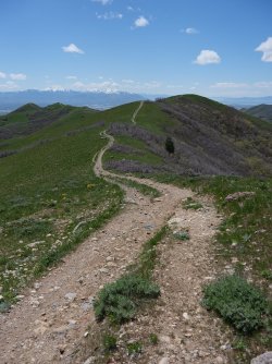
Old Jeep road
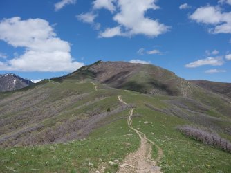
Another shot looking back at Black Mountain
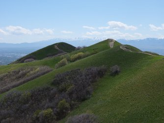
Arriving at the Avenues Twin Peaks
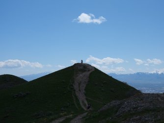
North Peak with a cyclist atop
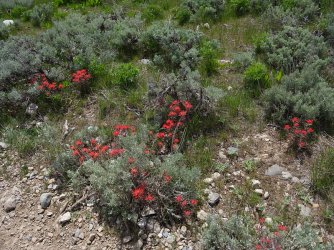
More paintbrush
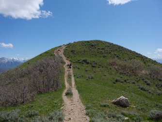
South Twin dead ahead
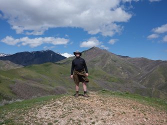
The couple headed up the South Twin in the previous image were kind enough to take my picture at the summit, with Burro Peak,
Grandview Peak and Black Mountain in the background. Tad bit windy I'd say.
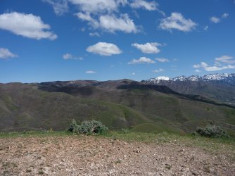
The Van Cott Ridge from a different angle
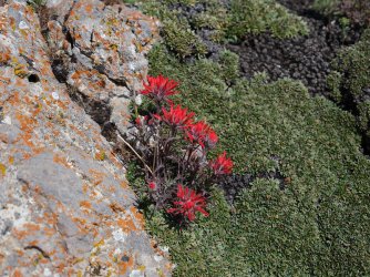
More paintbrush coming off the South Twin
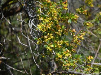
Golden currant
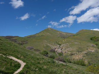
A look back at the South Twin
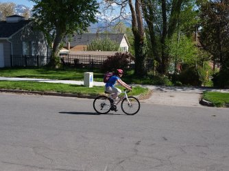
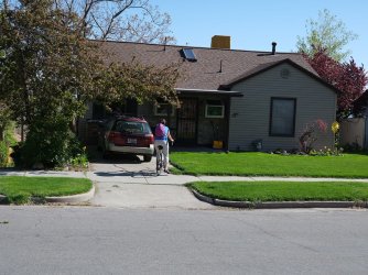
When I reached home, look who was just peddling up. Great timing! Home sweet home.
I found the hike to be rather chilly. It was supposed to get up to 54 degrees in the valley, so probably in the 40's up on the ridge. While the sun was out most of the day, once on the ridges the wind was whipping pretty good. I did find as long as I was headed up I was okay, but when I stopped to break, or eat my lunch, it got chilly. Also I was chilled on my way down.
When all was said and done, I was pretty pooped after this one.

Excitement is just pumping through my veins before taking off

I left at the same time that Sheila took off, cycling to work

A black cricket heading up the hill on my way to 11th Avenue


Some deer at the fire station on 11th Ave.

Evening-primrose on my way to Dry Canyon

Sunrise on the south summit of the Avenues Twin Peaks

Arriving at the mouth of Dry Canyon

Long leaf phlox

Groundsel


Balsamroot on the slope of Mount Van Cott

Sun hitting the ridge on the northwest side of Dry Canyon

Beginning the climb up Van Cott. This used to be an old Jeep road.

The Avenues Twin Peaks in the distance, where I will be later in the afternoon hopefully

A look up the North Fork of Dry Canyon. I should be making my way across the ridge at the head of the fork later in the day.

Vetch

Pungent desert parsley

I headed up the western ridge of Van Cott this time instead of just following the Old Jeep road. University of Utah Hospital and
Huntsman Cancer Center below.

Utah Service Berry

A look back at downtown Salt Lake City

First look at Black Mountain

Back on the old Jeep road near the summit of Van Cott. The Dude Benchmark in the distance

Coming off the summit of Van Cott and hooking up with the trail that will take me across the Van Cott Ridge with Black Mountain
dead ahead.

Cycling caps don't provide much eye shade when heading directly into the sun.

Forget-me-nots

Looking back at the summit of Van Cott


Glacier lilies

View to the south at Mount Wire, with Red Butte Reservoir below

Some bumps to go over on the Van Cott Ridgeline. View is looking northeast.

Black Mountain above
At this point I started to hear turkeys gobble coming from the slope across the South Fork of Dry Canyon. I'd stop and look over to see if I could see any movement in the direction of the sounds, but they wouldn't come out of the scrub oak. After a bit, I thought they may be plotting against me.

Another look back to the southwest and the Van Cott Ridgeline

Larkspur on the ridge

One more major hump to go

More lilies

1st break. Time to get some calories in me before I begin heading up Black Mountain

Some cacti

Yellow Bells

Heading towards the saddle above the South Fork of Dry Canyon

First snow encounter

Spring beauties

At the end of the ridge to social trail becomes more of an elk trail

Hard to stay on at times
At this point I was hoping that @regehr had blazed a top notch trail up to the summit of the Black Mountain Ridge, but if he had, I couldn't find it.

Fromm the saddle above the South Fork of Dry Canyon, looking back at the Van Cott Ridge

Utah violet

Another shot of the Van Cott Ridge and looking down the South Fork of Dry Canyon

Heading up Black Mountain in earnest now. I'm heading towards that lone mountain mahogany on the hill

Common storksbill and a Scatman shadow

I stopped for a second break under that lone mountain mahogany in order to eat a Kind Bar and take this shot of one of my
cameras I took on the trip. It's battery did not like the cold, and would eventually run out of juice.

Spring Parsley

Getting some better views of the Wasatch Mountains the higher I get

Hey, only 1100 feet in just over seven tenths of a mile. Looking up at the top of the Black Mountain Ridge where I am heading

Patches of snow here and there on the bushwhack

Looking up towards the head of Red Butte Canyon

Nor sure what this is. Does anyone know?

Just follow the elk droppings is my motto.

More yellow bells on the south slope of Black Mountain

My left knee was not liking this. In training for a @Bob tip, straight up is the only alternative.

Looking back down on the route I have come. The Van Cott Ridge is the second ridge in the image

Lord have mercy! Getting close at least.

Not sure what is going on here?

Looking east with the Uintas in the far diatance

The back end of a small horned toad. It was kind of shy.

On top of the Black Mountain Ridge, looking west.
So at this point I decided that I wanted to reach the high point of the ridge. I had forgotten that the butt pucker scramble section was between me and the high point, so I had some scrambling and downclimbing to do, which I'm sure would have been comical to watch with my hiking poles in one hand, and having to be careful of my camera attached to the shoulder strap of my pack. This raised the butt pucker facto for me at least.

Heading into the scramble part

A look up the North Fork Drainage in City Creek Canyon. Snow covered Francis Peak, above Farmington, is in the far distance.

A little scrambling left to do to reach the high point

This is the view that makes the high point worth it. - Grandview Peak.
Now some summit shots

Lookout Peak to the east

The Wasatch Mountains to the south

View down City Creek Canyon

On the high point

Lunch time
I had hauled my long lens up with me, so after lunch I took it out and took some shots with it

Grandview Peak and Cottonwood Gulch

Lookout Peak

Francis Peak to the north

The under construction water treatment plant in City Creek Canyon that will keep me from reaching my 40th year in a row of cycling
to the top of City Creek this summer.

The Dude Benchmark to the northwest, with Frary Peak beyond, across the Great Salt Lake

Gobblers Knob and Mount Raymond to the south

Broads Fork Twin Peaks to the South. If you look closely, you can also see Grandeur Peak below the twins, and below Grandeur is
Perkins Peak of Parleys Ridge fame.

Lone Peak to the south, with Mount Olympus below Lone.

To the west and Stansbury Island across the Great Salt Lake, with the Lakeside Mountains beyond.

The big gun.

Heading for home. The scramble portion is easier in this direction because you are climbing up
instead of downclimbing

This part ahead is much easier to climb up that to come down

A nice stand of aspen, yet to get their leaves, on the north slope of the ridge

Antelope Island off in the distance

The road home along the south ridge of City Creek Canyon for the most part with the Avenues Twin Peaks at the end of another
old Jeep road

One last look up City Creek Canyon towards Burro Peak and Grandview Peak

Making some headway coming down the ridge

Common storksbill

Running into my first paintbrush

A look back up at the western edge of the Black Mountain Ridge

Old Jeep road

Another shot looking back at Black Mountain

Arriving at the Avenues Twin Peaks

North Peak with a cyclist atop

More paintbrush

South Twin dead ahead

The couple headed up the South Twin in the previous image were kind enough to take my picture at the summit, with Burro Peak,
Grandview Peak and Black Mountain in the background. Tad bit windy I'd say.


The Van Cott Ridge from a different angle

More paintbrush coming off the South Twin

Golden currant

A look back at the South Twin


When I reached home, look who was just peddling up. Great timing!
Last edited:

 I was having trouble bending my knees/legs far enough on the scramble section.