- Joined
- Apr 22, 2013
- Messages
- 320
After seeing all the cool Trip Reports I thought I'd share last year's adventure in Utah...
Leaving the Sunshine State of Arizona behind I headed for Utah, just days before the Government Shut down last year. Heading first for Capitol Reef, I thought I'd check out the Goosenecks of the San Juan river along the way.
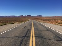
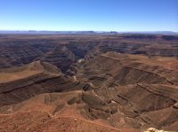
Halls Creek Narrows was first & I found myself camping out at the shortcut route trail head for a couple of nights.
Very scenic & quiet isolated, I didn't see a single person for 3 days out there.
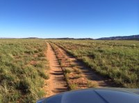
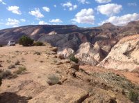
Working my way north after Halls Creek, I stopped at Surprise & Headquarter Canyons.
Both were a quick & easy pit stop before heading to Escalante for some supplies.
Definitely want to get back & do Upper & Lower Muley.
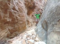
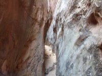
By now the Government Shut Down was in effect... and for some reason I felt the irresistible urge to visit Lower Calf Creek Falls.... and I wasn't the only one, the Lower Calf was packed! Cars were lined up all along highway 12.
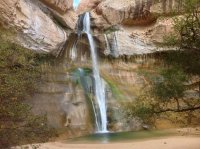
Looking for something a little more remote I decided to check out Upper Calf Creek & after some wandering found The headwaters of Calf Creek & a cool fossil near by.
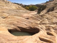
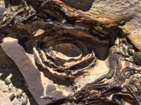
Leaving the Government Chaos being, I headed south to Big Horn Canyon. Really enjoyed the colors & various slots of Big Horn... was always something different around every corner.
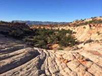
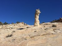
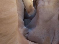
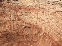
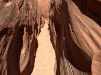
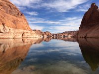
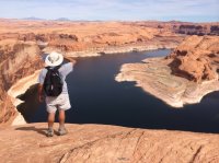
The end of the Hole-in-the-Rock road was my next destination. I was hesitant that I could make it, the roads had been recently washed out & the last road condition report said high clearance 4x4 was needed for the last 7 miles. Well, I think it was just a scare tactic as technically Glen Canyon was closed... the road was in great shape & if anything the last 7 miles were the easiest!
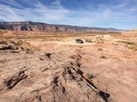
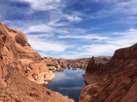
Featured image for home page:
Leaving the Sunshine State of Arizona behind I headed for Utah, just days before the Government Shut down last year. Heading first for Capitol Reef, I thought I'd check out the Goosenecks of the San Juan river along the way.


Halls Creek Narrows was first & I found myself camping out at the shortcut route trail head for a couple of nights.
Very scenic & quiet isolated, I didn't see a single person for 3 days out there.


Working my way north after Halls Creek, I stopped at Surprise & Headquarter Canyons.
Both were a quick & easy pit stop before heading to Escalante for some supplies.
Definitely want to get back & do Upper & Lower Muley.


By now the Government Shut Down was in effect... and for some reason I felt the irresistible urge to visit Lower Calf Creek Falls.... and I wasn't the only one, the Lower Calf was packed! Cars were lined up all along highway 12.

Looking for something a little more remote I decided to check out Upper Calf Creek & after some wandering found The headwaters of Calf Creek & a cool fossil near by.


Leaving the Government Chaos being, I headed south to Big Horn Canyon. Really enjoyed the colors & various slots of Big Horn... was always something different around every corner.


The end of the Hole-in-the-Rock road was my next destination. I was hesitant that I could make it, the roads had been recently washed out & the last road condition report said high clearance 4x4 was needed for the last 7 miles. Well, I think it was just a scare tactic as technically Glen Canyon was closed... the road was in great shape & if anything the last 7 miles were the easiest!


Featured image for home page:

