Toiyabe Crest Trail

scatman

Member
.
Joined
Dec 23, 2013
Messages
4,045
I'm starting to get ready to head out in two weeks to backpack the Toiyabe Crest Trail in central Nevada. The trail runs along a portion of the Toiyabe Range and is roughly 71 miles in length. The range lies roughly between Austin to the north and Tonopah to the south. The route was constructed back in the 1930's by the CCC, but from what I understand receives very little maintenance anymore. I'm planning on taking eight days to complete the route, with one day set aside to bag a peak if snow conditions aren't too bad. I'll be starting at the trailhead just north of Groves Lake in Kingston Canyon and finishing up at the trailhead at the South Twin River. The Toiyabe Range received an ample amount of snowfall this past winter and so far this spring, and the snow depth is way above normal for this time of year which could be a challenge at points along the trail and possibly the river crossings at the end. Hopefully conditions will be a bit better than my early summer trip in the Sierras two years ago. At least finding water along the route shouldn't be an issue this year. :thumbsup:

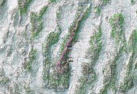
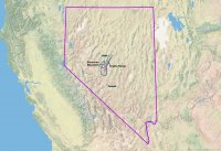
Here are some overview maps of the trip.
78359
State view

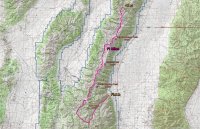
78360
A closer look - 1:399,563 scale

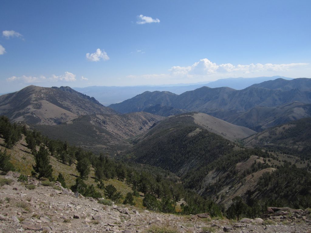
78361
Zoomed in on the trail and major peaks - 1;190,302 scale
 
Nevada has always fascinated my imagination with more mountain ranges than other states. Can’t wait to see the report. I few over it for decades but didn’t do a whole lot there with other states being close.
 
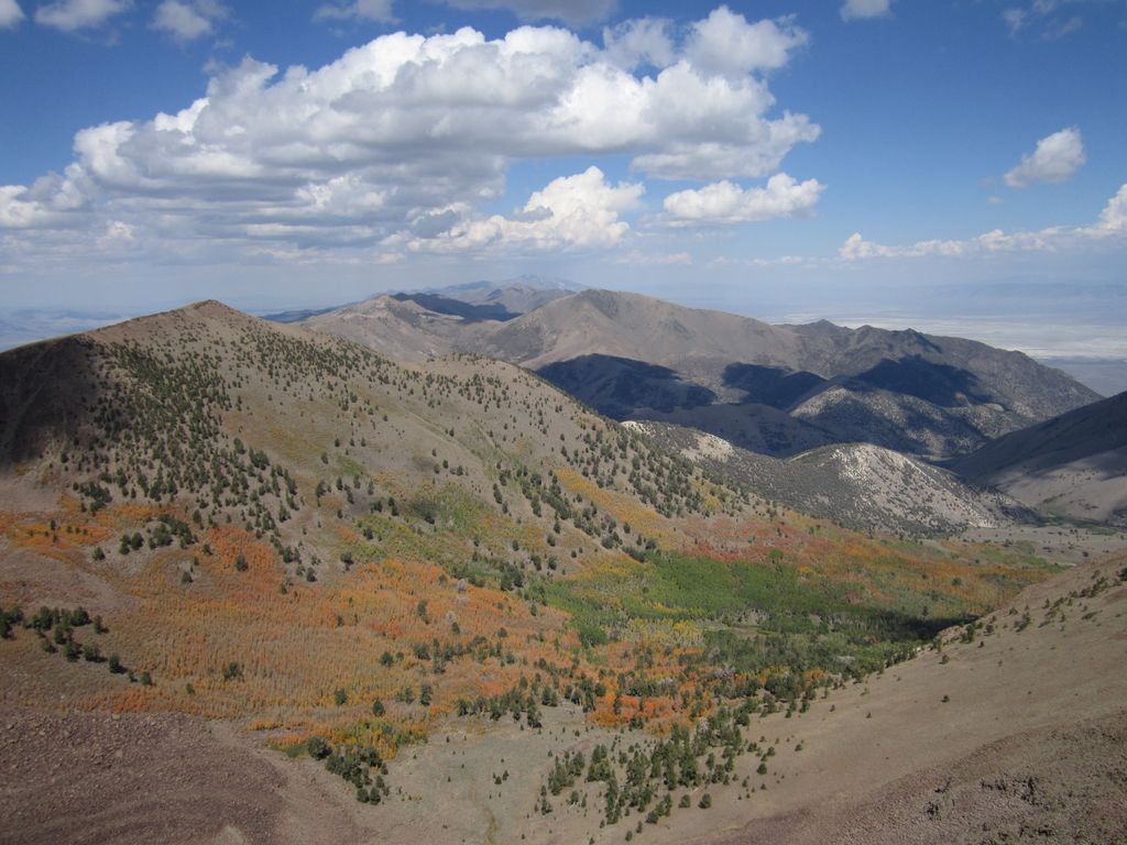
I only got a couple hikes on that crest in once: the Arc Dome Loop and the Crest Trail south of Ophir Divide to S. Toiyabe Peak. It was awesome and no one around. An isolated Basin/Range that had daily orographic build up of unstable thunder heads.

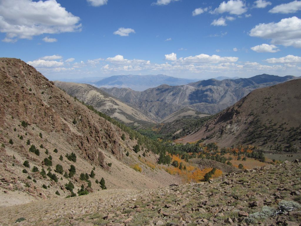
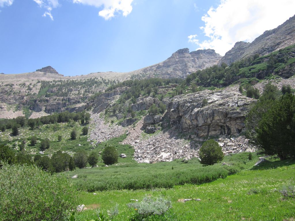
The Twin drainage by John Morrow, on Flickr


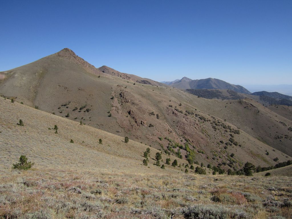
on 11,406' neat basin
by John Morrow, on Flickr

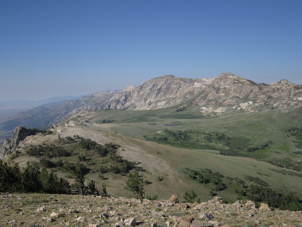
North Twin River by John Morrow, on Flickr

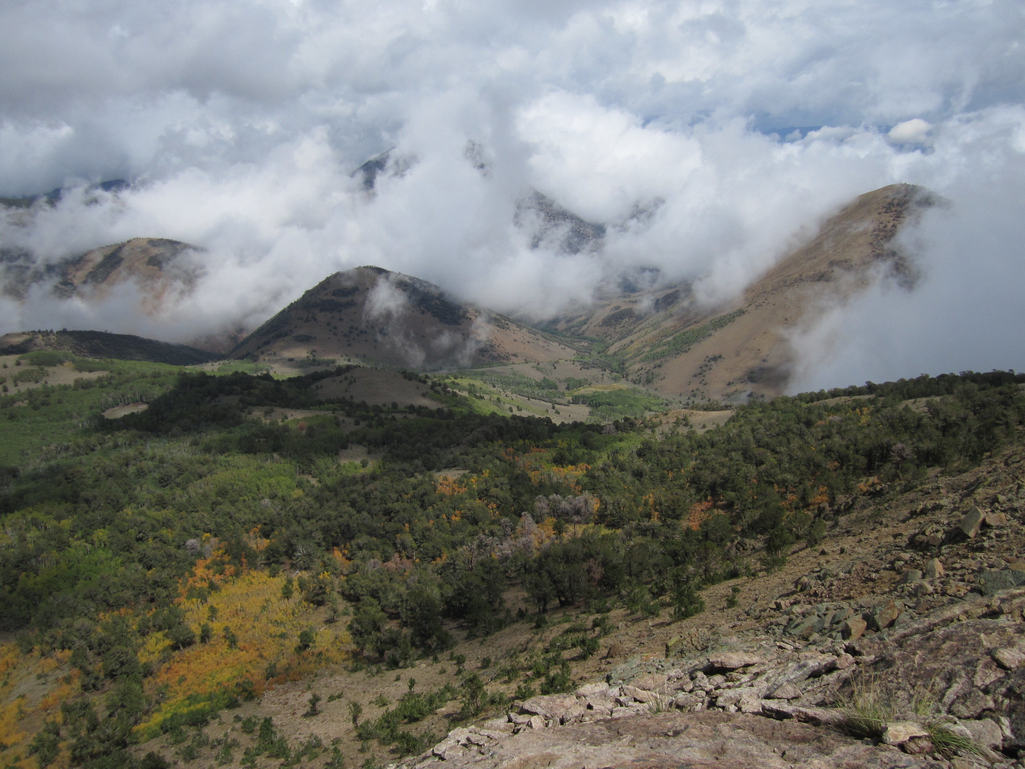
trail views by John Morrow, on Flickr


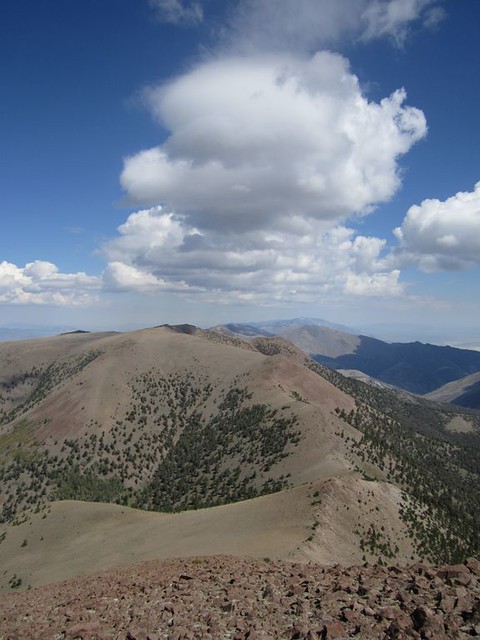
Clouds created, orographic lift
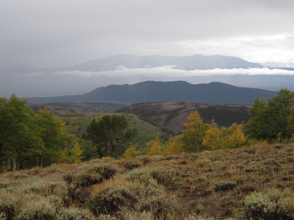
by John Morrow, on Flickr

I had obvious tread for all of where I was. Unlike the E. Humboldt Crest which was often nowhere to be found. Nobody for miles; aspens, limber pines, bubbling brooks (albeit, well below the crest)...paradise!
 
Last edited:
The Nevada basin and range country has always looked interesting to me, but never interesting enough to seriously look into. Will be interesting to see your report afterward.
 
I'm starting to get ready to head out in two weeks to backpack the Toiyabe Crest Trail in central Nevada. The trail runs along a portion of the Toiyabe Range and is roughly 71 miles in length. The range lies roughly between Austin to the north and Tonopah to the south. The route was constructed back in the 1930's by the CCC, but from what I understand receives very little maintenance anymore. I'm planning on taking eight days to complete the route, with one day set aside to bag a peak if snow conditions aren't too bad. I'll be starting at the trailhead just north of Groves Lake in Kingston Canyon and finishing up at the trailhead at the South Twin River. The Toiyabe Range received an ample amount of snowfall this past winter and so far this spring, and the snow depth is way above normal for this time of year which could be a challenge at points along the trail and possibly the river crossings at the end. Hopefully conditions will be a bit better than my early summer trip in the Sierras two years ago. At least finding water along the route shouldn't be an issue this year. :thumbsup:

Here are some overview maps of the trip.

View attachment 78359
State view

View attachment 78360
A closer look - 1:399,563 scale

View attachment 78361
Zoomed in on the trail and major peaks - 1;190,302 scale
Nice haven't seen that one...
 
The Nevada basin and range country has always looked interesting to me, but never interesting enough to seriously look into. Will be interesting to see your report afterward.
I'd give the Snake Range an enthusiastic thumbs up, and it's very accessible from the populous parts of Utah. Especially Moriah. A friend and I had Hendrys Creek, the Table, the summit all to ourselves for a weekend in late August a few years ago. Good weather, a babbling stream, zero bugs, I thought I'd gone to heaven.
 
Have long wanted to do trips to Jarbidge, the Rubies, and the Schell Creek range. Toiyabe is on the list now too!
 
I'd give the Snake Range an enthusiastic thumbs up, and it's very accessible from the populous parts of Utah. Especially Moriah. A friend and I had Hendrys Creek, the Table, the summit all to ourselves for a weekend in late August a few years ago. Good weather, a babbling stream, zero bugs, I thought I'd gone to heaven.


Good tips. The biggest problem with basin and range country, for me, is that to get there from where I live in Nebraska I have to drive past enough Rocky Mountain and Colorado Plateau country to keep me busy for several lifetimes. What does draw me to it, though, is the lack of information about it. I love exploring places I don't know much about.
 
Good tips. The biggest problem with basin and range country, for me, is that to get there from where I live in Nebraska I have to drive past enough Rocky Mountain and Colorado Plateau country to keep me busy for several lifetimes. What does draw me to it, though, is the lack of information about it. I love exploring places I don't know much about.
Lol.... I could easily drive right thru Colorado to there
 
Looks like a wild ride, mister.

In the first map what is the green line outlining? A wilderness area?

Have you scouted the ending trailhead. When I first saw the granite domes, The Toyabe Domes, on the southeast side I went in and scouted an approach start to get to the domes. I believe this to be all under Arc Dome but much lower than the main ridge line. Anyway, there was an interesting ranch house/building complex there. I never did see anyone to talk to but it was definitely lived in. This was probably 10-15 years ago.
 
Lol.... I could easily drive right thru Colorado to there

Have long wanted to do trips to Jarbidge, the Rubies, and the Schell Creek range. Toiyabe is on the list now too!


Other ranges and wildernesses: Ruby Mtns, E. Humboldt Mountains, Table Mountain (Monitor Range)

Ruby Mountains:
North of Lamoille Canyon, 3 day backpack saw no one. Use Flickr link to view whole set.

Soldier Basin from Pt 9850' by John Morrow, on Flickr


Pk 10,550 and Robinson Lk
by John Morrow, on Flickr


Morning at the Hidden Lakes
by John Morrow, on Flickr

E. Humboldts:
Saw no one in three days backpacking.


ridgewalk; East Humboldt Wilderness, NV
by John Morrow, on Flickr


3rd Boulder Basin
by John Morrow, on Flickr

Nice basin; East Humboldt Wilderness, NV by John Morrow, on Flickr
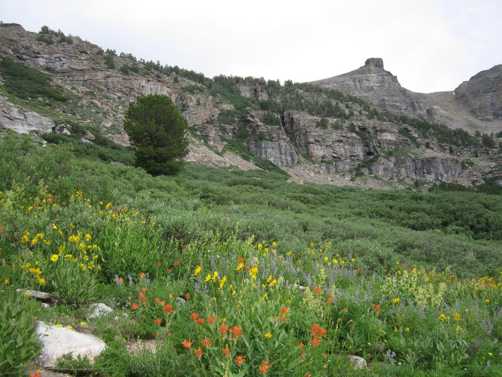
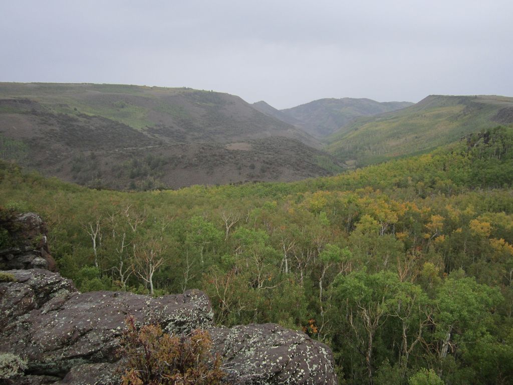

flowers in basin
by John Morrow, on Flickr

Table Mountain Wilderness.
A giant meadow plateau full of elk and zero people over four days/nights


Here follows the rain
by John Morrow, on Flickr


Black Rock Mtn out there
by John Morrow, on Flickr


Jefferson pops back out
by John Morrow, on Flickr

I feel I can share these 'cause no one's gonna go!
 
Last edited:
Those I know.... Don't forget the Deep Creeks on the border. .
 
I only got a couple hikes on that crest in once: the Arc Dome Loop and the Crest Trail south of Ophir Divide to S. Toiyabe Peak. It was awesome and no one around. An isolated Basin/Range that had daily orographic build up of unstable thunder heads.

I had obvious tread for all of where I was. Unlike the E. Humboldt Crest which was often nowhere to be found. Nobody for miles; aspens, limber pines, bubbling brooks (albeit, well below the crest)...paradise!

Great images @John Morrow! Thanks for sharing them. When I started planning this trip, I thought I might not see anyone else over the eight days except my backpacking mates.
 
Looks like a wild ride, mister.

In the first map what is the green line outlining? A wilderness area?

Have you scouted the ending trailhead. When I first saw the granite domes, The Toyabe Domes, on the southeast side I went in and scouted an approach start to get to the domes. I believe this to be all under Arc Dome but much lower than the main ridge line. Anyway, there was an interesting ranch house/building complex there. I never did see anyone to talk to but it was definitely lived in. This was probably 10-15 years ago.

The green line is the Humboldt-Toiyabe Forest Service Boundary for that area. And no, I haven't really scouted our exit point.
 
Have long wanted to do trips to Jarbidge, the Rubies, and the Schell Creek range. Toiyabe is on the list now too!

Jarbidge and Rubies are on my bucket list too. I wanted to get the longest one (Toiyabe) out of the way while I still can. :)
 
Other ranges and wildernesses: Ruby Mtns, E. Humboldt Mountains, Table Mountain (Monitor Range)

Ruby Mountains:
North of Lemoigne Canyon, 3 day backpack saw no one. Use Flickr link to view whole set.
I feel I can share these 'cause no one's gonna go!


Well now you're just making me salivate @John Morrow! :) Have you spent any time in the Quinn and Grant Ranges' wildernesses?
 
Have long wanted to do trips to Jarbidge, the Rubies, and the Schell Creek range. Toiyabe is on the list now too!
Rubies are gorgeous. Take a small trout rod with you if you go.

There's a lot of solitude in the Nevada ranges, except for the Spring Mountains West of Vegas. Rubies can get busy in hunting season.
 

Don't like ads? Become a BCP Supporting Member and kiss them all goodbye. Click here for more info.

Back
Top