- Joined
- Dec 23, 2013
- Messages
- 4,116
I'm starting to get ready to head out in two weeks to backpack the Toiyabe Crest Trail in central Nevada. The trail runs along a portion of the Toiyabe Range and is roughly 71 miles in length. The range lies roughly between Austin to the north and Tonopah to the south. The route was constructed back in the 1930's by the CCC, but from what I understand receives very little maintenance anymore. I'm planning on taking eight days to complete the route, with one day set aside to bag a peak if snow conditions aren't too bad. I'll be starting at the trailhead just north of Groves Lake in Kingston Canyon and finishing up at the trailhead at the South Twin River. The Toiyabe Range received an ample amount of snowfall this past winter and so far this spring, and the snow depth is way above normal for this time of year which could be a challenge at points along the trail and possibly the river crossings at the end. Hopefully conditions will be a bit better than my early summer trip in the Sierras two years ago. At least finding water along the route shouldn't be an issue this year. 
Here are some overview maps of the trip.

State view

A closer look - 1:399,563 scale

Zoomed in on the trail and major peaks - 1;190,302 scale
Here are some overview maps of the trip.
State view
A closer look - 1:399,563 scale
Zoomed in on the trail and major peaks - 1;190,302 scale
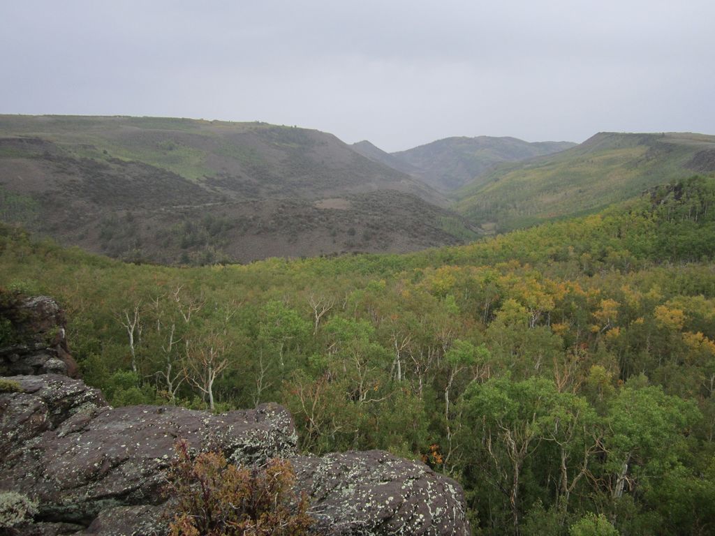
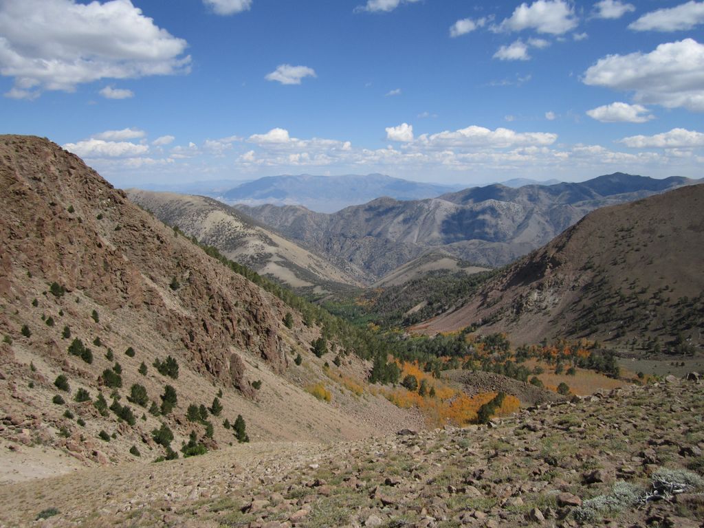
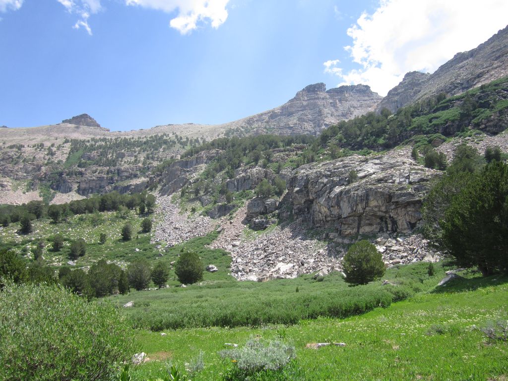
 The Twin drainage
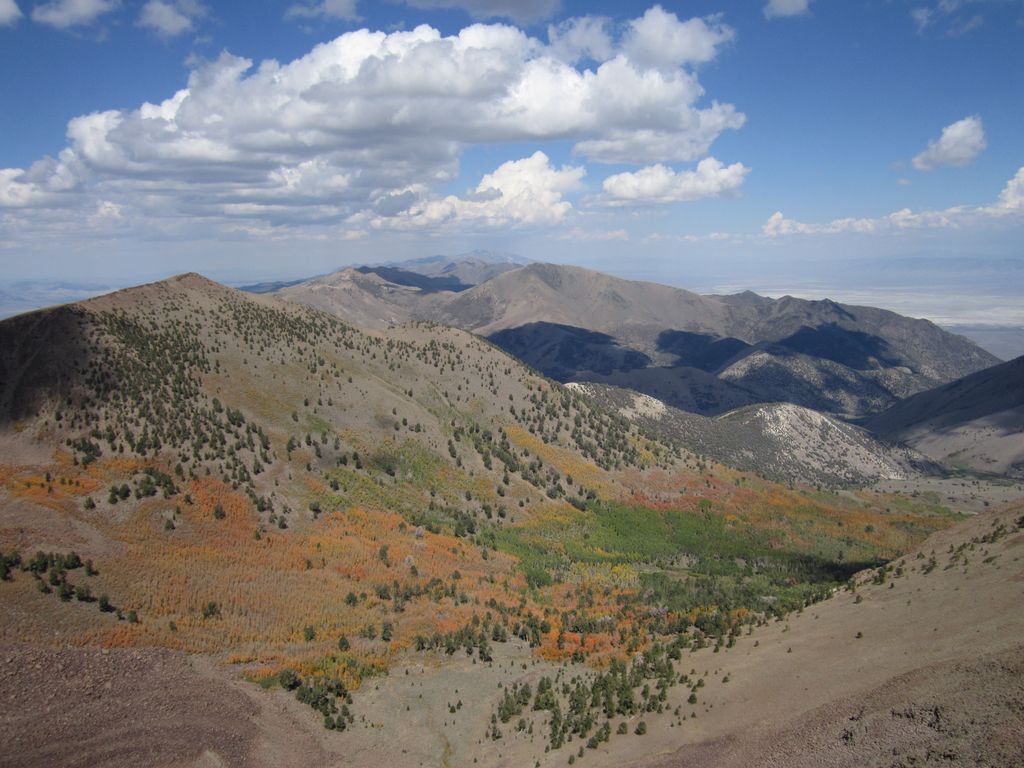
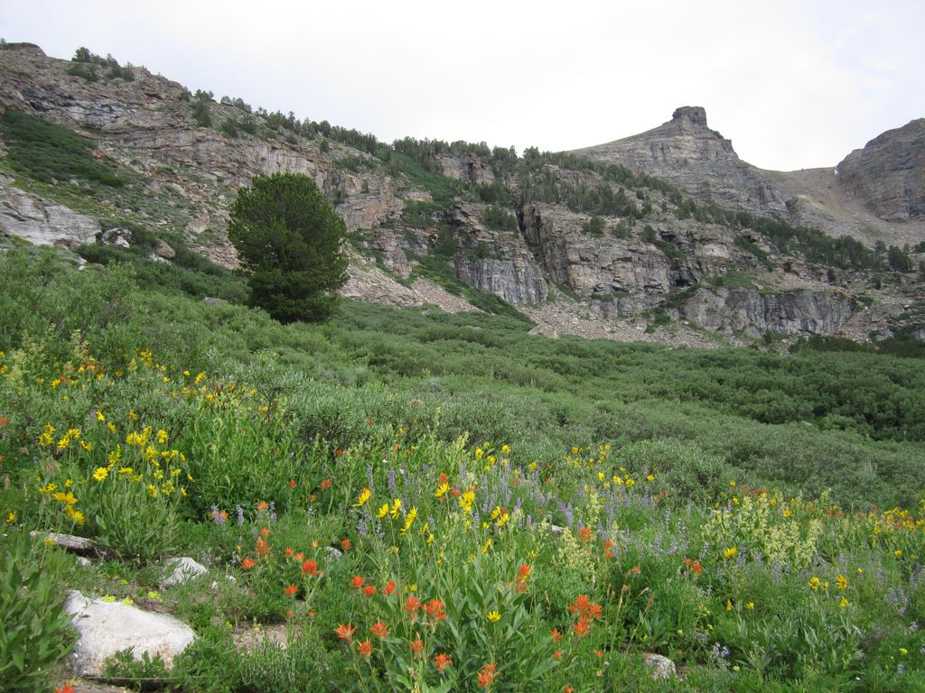
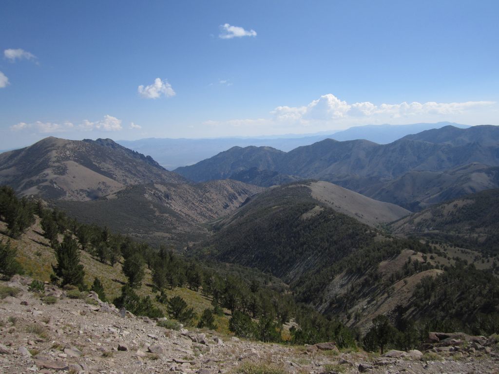
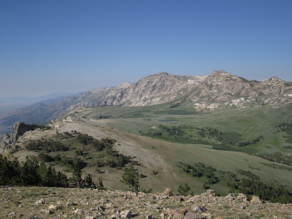
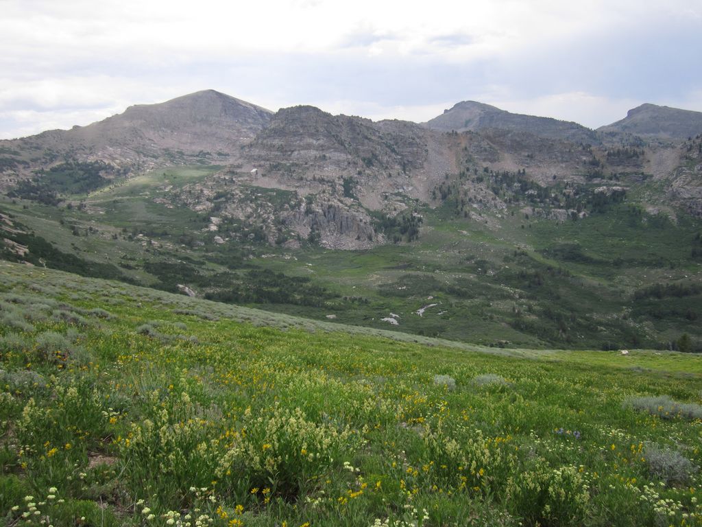
 North Twin River
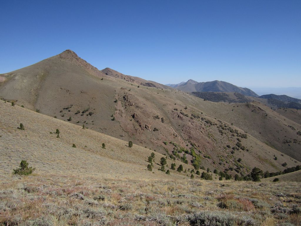 trail views
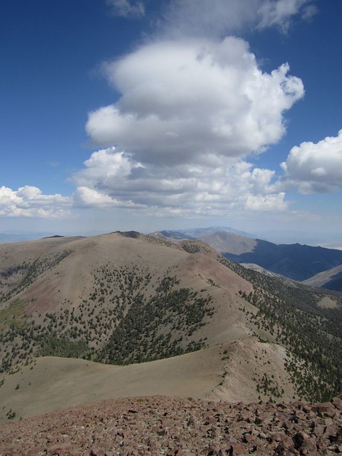
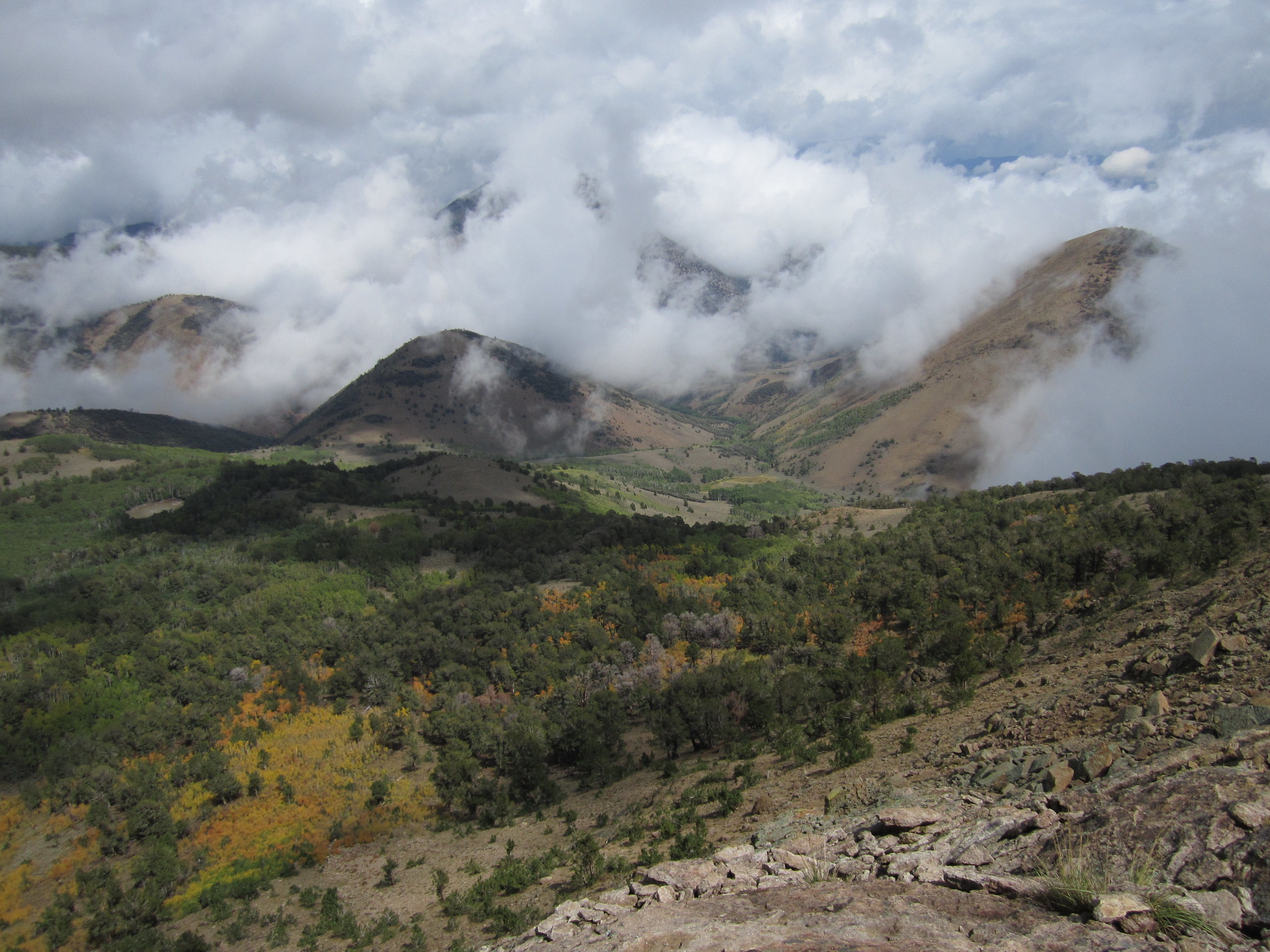
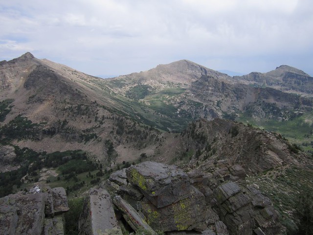
 Soldier Basin from Pt 9850'
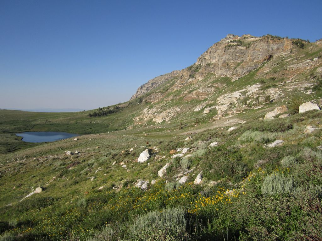
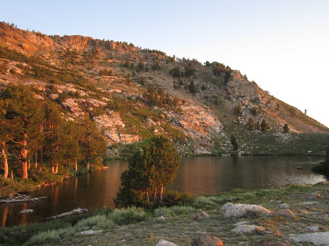
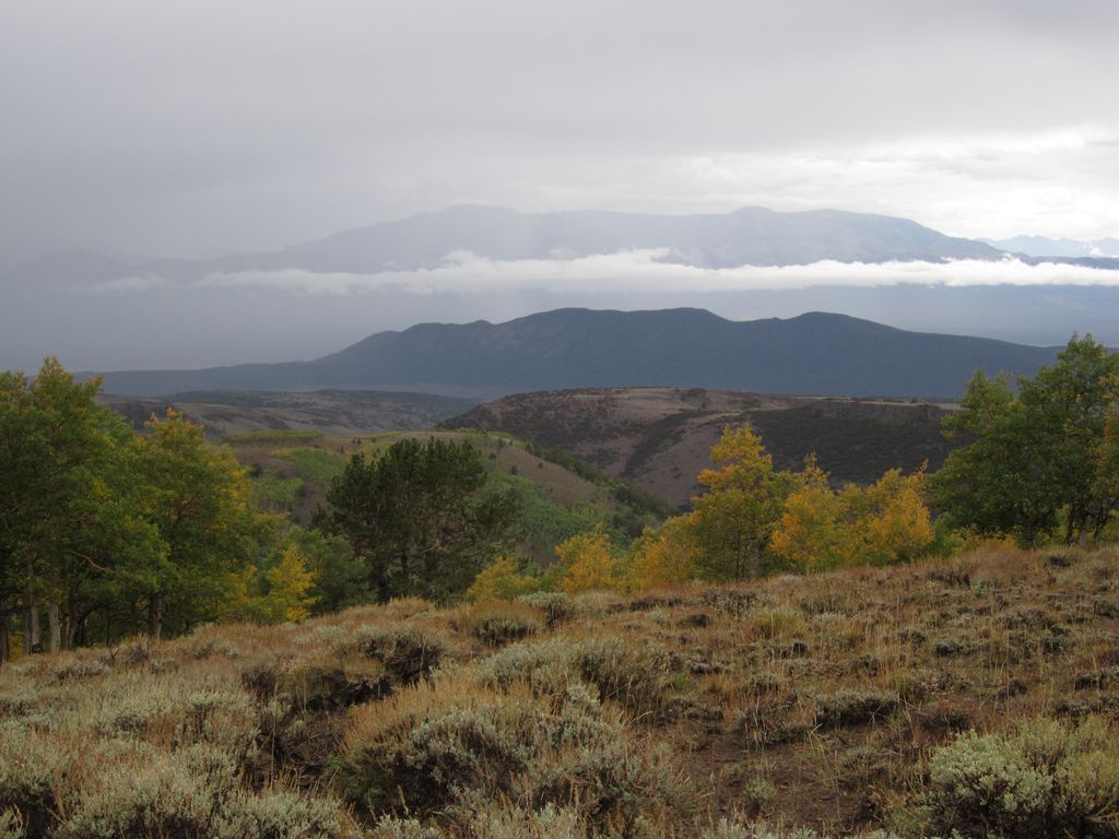
 Nice basin; East Humboldt Wilderness, NV