Album The members of backcountrypost.com

Somewhere on the Gallatin Crest Trail.

Water is scarce and Hugh was forced to defend his two-liter bottles from plump ground squirrels, butterflies, and maybe even Bob.


Also fending off thirsty trail-runners that shouldn't be running in grizzly country. Many a squirrel were eyeballing my 4 liters! Only Bruce Lee himself could have taken those bottles off of me. :D
 
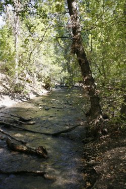
On the last day of August, Sheila, Katie and I went for a 6.5 mile walk from home through Memory Grove and up City Creek Canyon. I hadn't walked up City Creek since February, so I felt it was time to mosey on up. I needed to test out my right knee before @TractorDoc grinds it to a nub on our Bechler Trip and clandestine hike through Hayden Valley nest week. It was a warm day here in the valley and I don't think I have ever seen City Creek so dry. We walked up on the road and back on the trail.
003.jpg
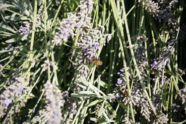
A little honey bee and bumblebee action before dropping down into Memory Grove

03b.jpg
03c.jpg
05b.jpg
06b.jpg
07c.jpg
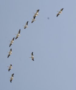
Pelican action above

08.jpg
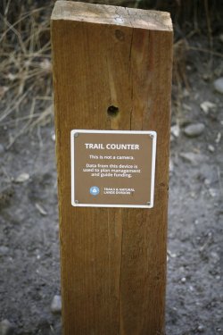
Not a camera? Hmm . . . . . . . . . . . . . . . . . . . . . . . .
09.jpg
City Creek

10.jpg
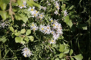
Spreading fleabane

11.jpg
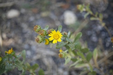
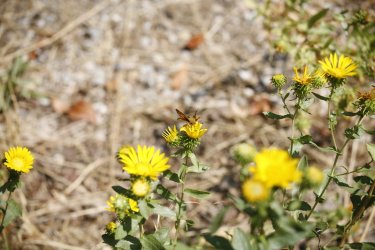
Gumweed

12.jpg
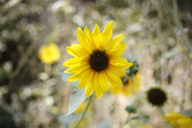
Sunflowers were plentiful on our walk
13.jpg
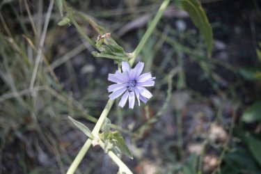
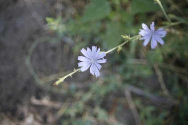
Chicory

14.jpg
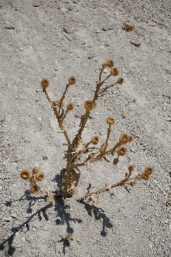
I liked this thistle shot

14b.jpg
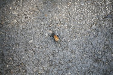
Not the best photo, but that is a spider wasp
15.jpg
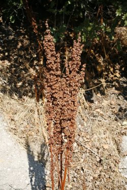
Mullein?

16.jpg
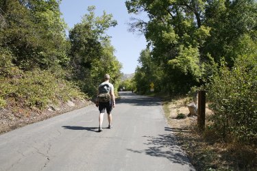
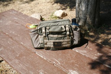
Sporting the fanny pack today

17.jpg
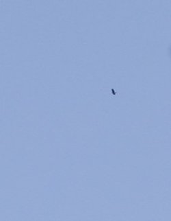
Can you make out what is flying above?
17b.jpg
Believe it or not, that is a golden eagle
18.jpg
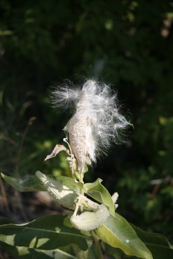
Some showy milkweed

19.jpg
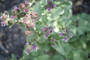
Common burdock

20.jpg
Pollinator on some gumweed

21.jpg
More chicory, plus a friend

22.jpg
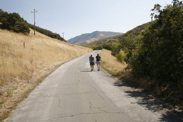
The road up, approaching the 1.5 mile marker with Black Mountain Ridge in the distance
23.jpg
Close up of the fanny pack. I like it because it is big enough to hold two 32 oz. Nalgene bottles - more it you want to put a couple
inside the pack itself.
24.jpg
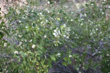
Snowberries

25.jpg
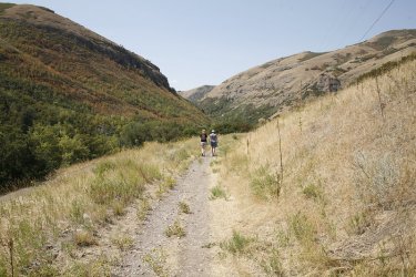
Taking the trail back down the canyon
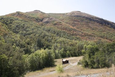
26.jpg
Doesn't look like the fall colors are going to be very good this year - too dry. :(

27.jpg
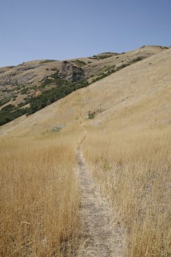
Trail up to the top of the north ridge of City Creek
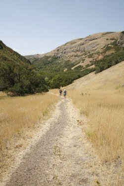
28.jpg
These steeper downhill segments were murder on my right knee
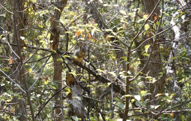
29b.jpg
Squirrel

32.jpg
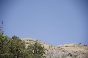
Looking back up canyon at Burro Peak

31.jpg
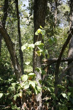
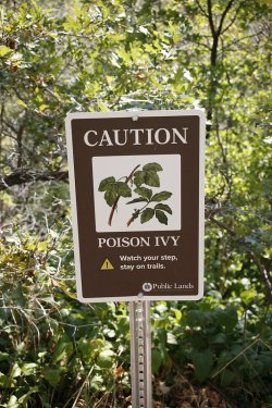
Poison ivy

33.jpg
A little late on the warning. :)

34.jpg
35.jpg
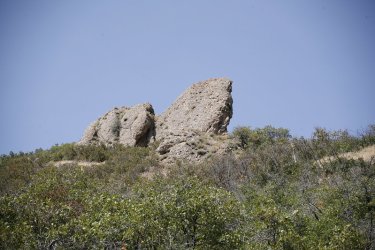
The Shark Fin

36b.jpg
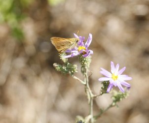
Another pollinator on some fleabane

37.jpg
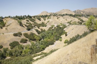
View down into Memory Grove almost back to 11th Avenue, with Ensign Peak in the distance
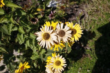
38.jpg
Colors fading fast

40.jpg
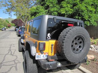
This is usually what awaits me on 10th Ave, but yesterday . . . . . . . . . . . . . . . . . . . .
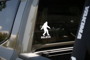
39.jpg
The guy had traded is four door Jeep in for a new Tacoma! What? :D


The End.
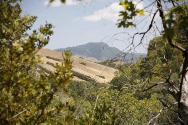
 
Nice pictures from your hike, Scatman.
If you start at Lone Star Trailhead for your Bechler trip, just before you cross the bridge after OA1, look for a trail cam off to your right. It's on a tree maybe 25 feet off the trail, and 4-5 feet high. (Maybe) It was there both times I was in the area this year. I smile and wave. It doesn't say what it's for. One of my hiking friends was horrified that it might be there to spy on peeing hikers. But that would mostly be if you peed on the trail. Anyway, if you go by, look for it, and wave.

I was told the water was lower, in general, for all the crossings, except the very last one. We crossed a little to the left of where the trail gets to that crossing. It was mid-thigh high, but I'm short.
Trail cam or trail counter? Did you take a picture of it?
 

Don't like ads? Become a BCP Supporting Member and kiss them all goodbye. Click here for more info.

Back
Top