- Joined
- Dec 23, 2013
- Messages
- 4,296
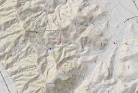
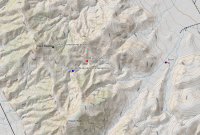
Every now and then the Wasatch Mountain Club has a hike on their event calendar that tickles my fancy and I will tag along with them for a day of hiking. Today, they were attempting to reach Peak 6551, second tallest, in the Lakeside Range which is located just west of the Great Salt Lake. The route to 6551 was off-trail up Vindicator Canyon which has a couple of old mine shafts that we will pass. Unfortunately, as we arrived at the beginning of the trail, one of the drivers who shuttled us to the trail, punched a hole in her oil pan and lost all of her motor oil. At this point, we had to use a tow strap and tow her back to pavement so that she could get AAA to come tow her. This cost us two hours of hiking time, and since people had to get back to Salt Lake before 6:00 pm, we did not summit. It was still perfect weather (maybe a little hot) for a hike with a good group of people.
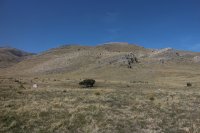
View to the west from the beginning of our hike
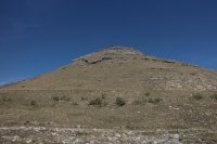
Unnamed peak to the north of our route
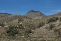
Peak 6551 in the distance
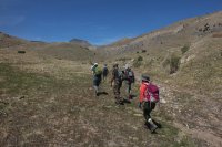
Who the hell are these folks? Oh, that's right Wasatch Mountain Club members. A good group of hikers.
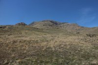
Craner Peak, which is the highest in the range
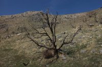
A fire at some point in the past had burned all the Juniper trees which made for heavy sun exposure the entire route
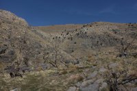
Another view to the north from Vindicator Canyon
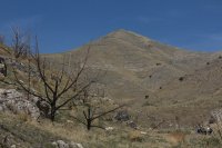
Peak 5546
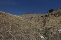
Peak 5927
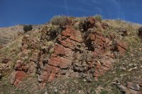
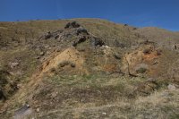
A touch of red rock along our route
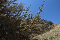
Some Mountain Mahogany in bloom
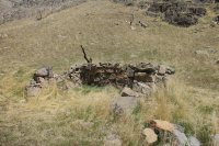
Old foundation at the first tungsten mine we passed
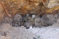
Sealed mining shaft
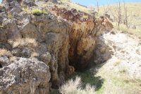
Wider view of shaft
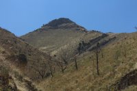
View from the canyon
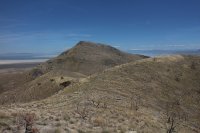
The Great Salt Lake and distant Wasatch Front coming into view
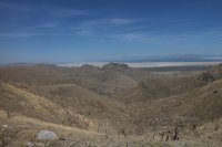
Looking northeast from the ridgeline
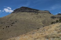
Peak 6551 - our hopeful destination
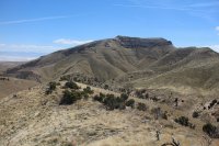
A look south at Craner Peak
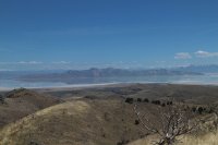
Stansbury Island to the east.
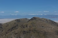
Ben Lomond and Mount Ogden in the distance - distant left of image
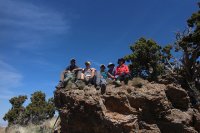
A quick lunch before heading back. The lady second from the left is the third oldest female to climb Mount Everest! :twothumbs:
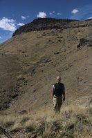
The guy in this shot is the 1st 53 year old not to summit Peak 6551!
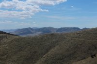
The Cedar Range to the southwest
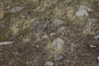
Can you make out the Gopher Snake we saw on our way down?

View to the west from the beginning of our hike

Unnamed peak to the north of our route

Peak 6551 in the distance

Who the hell are these folks? Oh, that's right Wasatch Mountain Club members. A good group of hikers.

Craner Peak, which is the highest in the range

A fire at some point in the past had burned all the Juniper trees which made for heavy sun exposure the entire route

Another view to the north from Vindicator Canyon

Peak 5546

Peak 5927

A touch of red rock along our route

Some Mountain Mahogany in bloom

Old foundation at the first tungsten mine we passed

Sealed mining shaft

Wider view of shaft

View from the canyon

The Great Salt Lake and distant Wasatch Front coming into view

Looking northeast from the ridgeline

Peak 6551 - our hopeful destination

A look south at Craner Peak

Stansbury Island to the east.

Ben Lomond and Mount Ogden in the distance - distant left of image

A quick lunch before heading back. The lady second from the left is the third oldest female to climb Mount Everest! :twothumbs:

The guy in this shot is the 1st 53 year old not to summit Peak 6551!

The Cedar Range to the southwest

Can you make out the Gopher Snake we saw on our way down?
Last edited:


