The Before/After thread

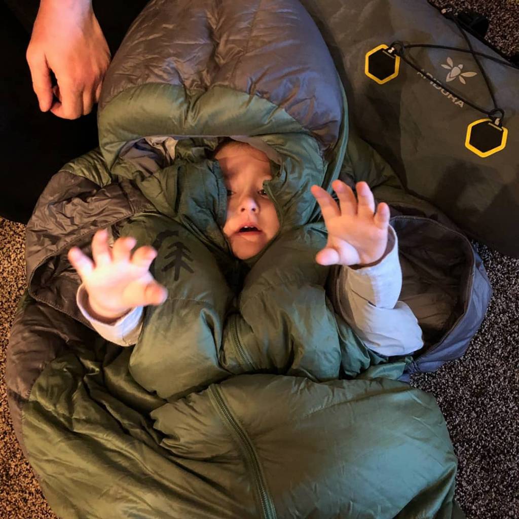
I am getting ready this morning for my bikepack trip through Kane Creek and Pritchet Canyon in Moab. My niece came over this morning and wanted to help me pack. But first she wanted to be as she said "wrapped up" in my sleeping bag.

35190abd250423328bfe404360873a13.jpg

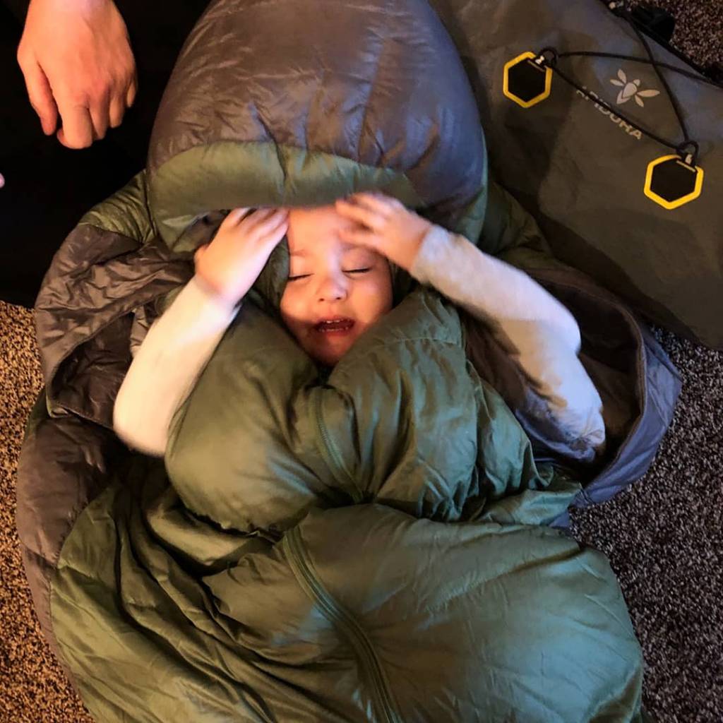
Help me!!
9fd0abc2ec4f3f72166983b1ef2d5647.jpg


There are currently 11 of us planning in going. Should be fun.

Sent from my SM-G935V using Tapatalk
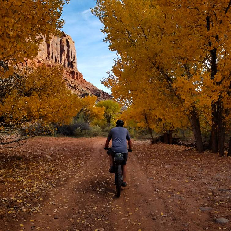
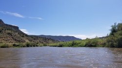
This was a fun brutal trip. We bailed on Pritchet Canyon because we were exhausted by the time we made it out of Kane Creek to Hole in The Rock. So many stream crossings so much sand and babyheads. Here is my favorite picture from the trip. The fall colors were still popping.

20776473b17abfe6f5bad5618b6ac48f.jpg


Sent from my SM-G935V using Tapatalk
 
Last weekend a friend and I visited Water Canyon on Cedar Mesa and it's side canyons, a fun yet challenging backpack. We had a great time in this amazing, intimate canyon system. We saw no cars at Kane Gulch or anywhere else for that matter. A feeling of total isolation.

IMG_2698.JPG
 
Before: Heading out for the Hayden Pass Trailhead bound for Packard Lake for the day.


Sent from my iPhone using Tapatalk
 
Before: Heading out for the Hayden Pass Trailhead bound for Packard Lake for the day.


Sent from my iPhone using Tapatalk

After: Turned out to be a beautiful day even though the temperature never got above freezing. Seems very strange to be on the Highline on the 10th of November. As long as those gates stay open I have to take advantage [emoji3]

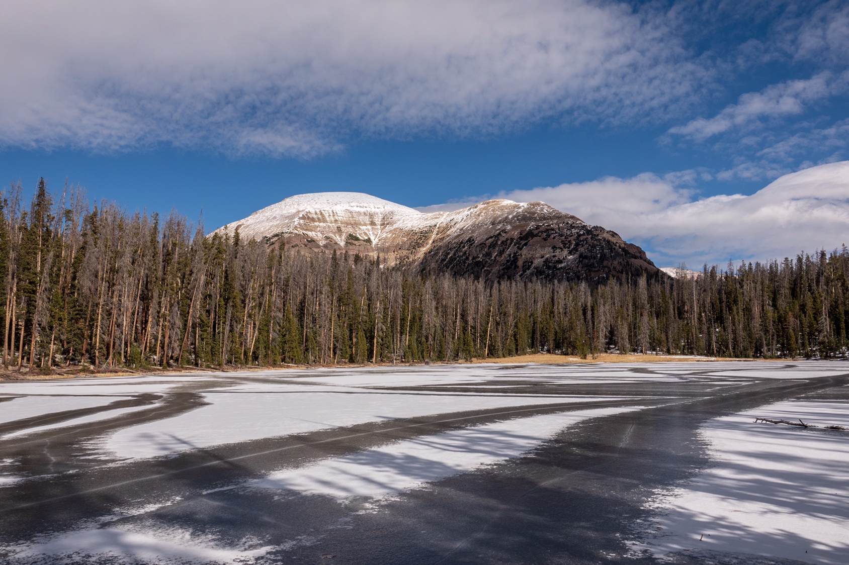
Packard Lake with an impressive Mt Agassiz towering over...

5984a00a623b03e5a98c88967e238c74.jpg


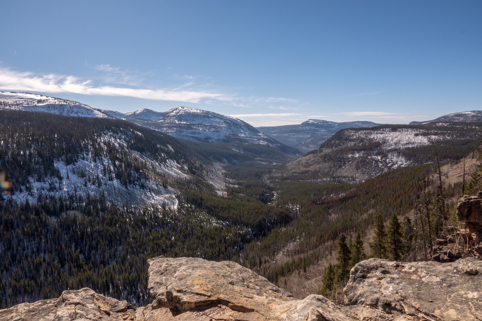
A magnificent view of the Duchesne River Drainage from near Packard Lake...

736e72be4a92c9b163cf6d3132baae84.jpg


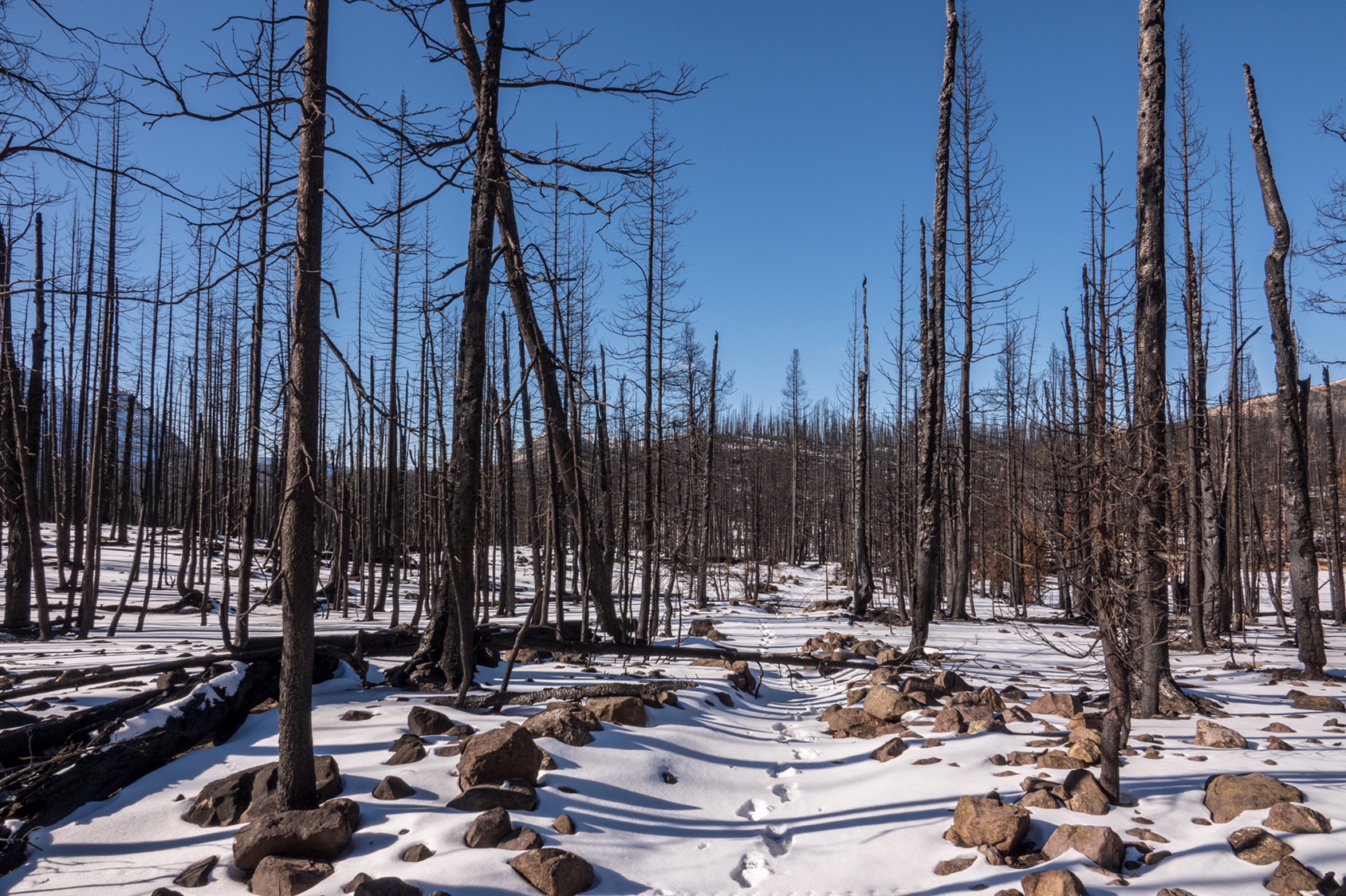
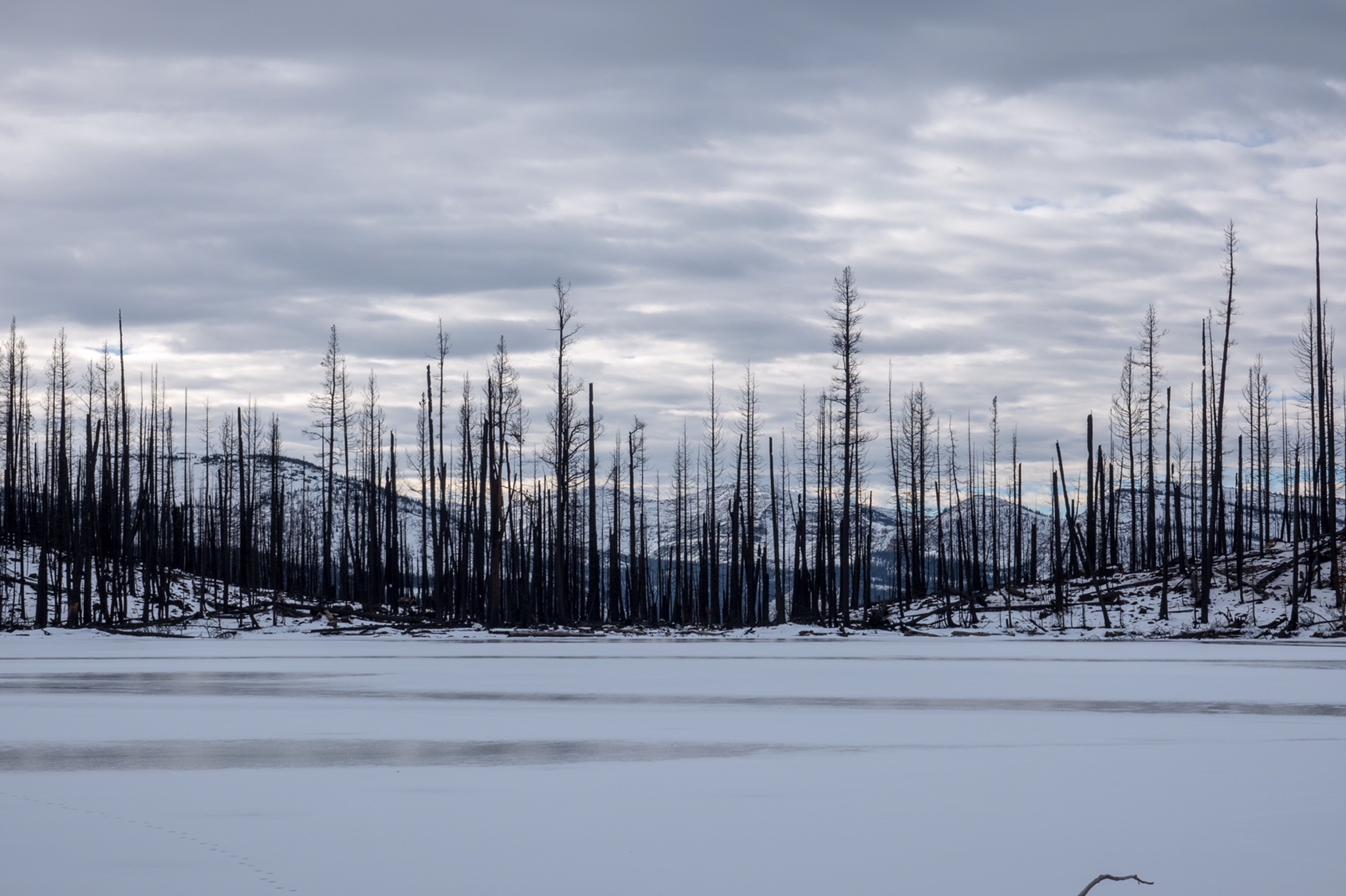
Got to survey the damage from the Murdock Fire along the UHT...

a8560715f6f40ed4053265d43ea49318.jpg


Sad to see it burned at Scudder Lake...

fe76c1589bc9e3a106f520576c397747.jpg


Sent from my iPhone using Tapatalk

How many miles did you walk roundtrip do you figure?
 
How many miles did you walk roundtrip do you figure?

10.2 but that’s a little inflated due to some off-trail travel trying to find the trail between Wilder and Wyman Lakes. Ended up going over a rise post holing the hard way. Found the trail on the way back... was sooo much easier [emoji4]


Sent from my iPhone using Tapatalk
 
Last edited:
Packing for my Tday trip. I hate that it gets dark so early!!! I wanted to add one more stop (near Panaca) on my way home Sunday but with so little sunlight the stop is not feasible.

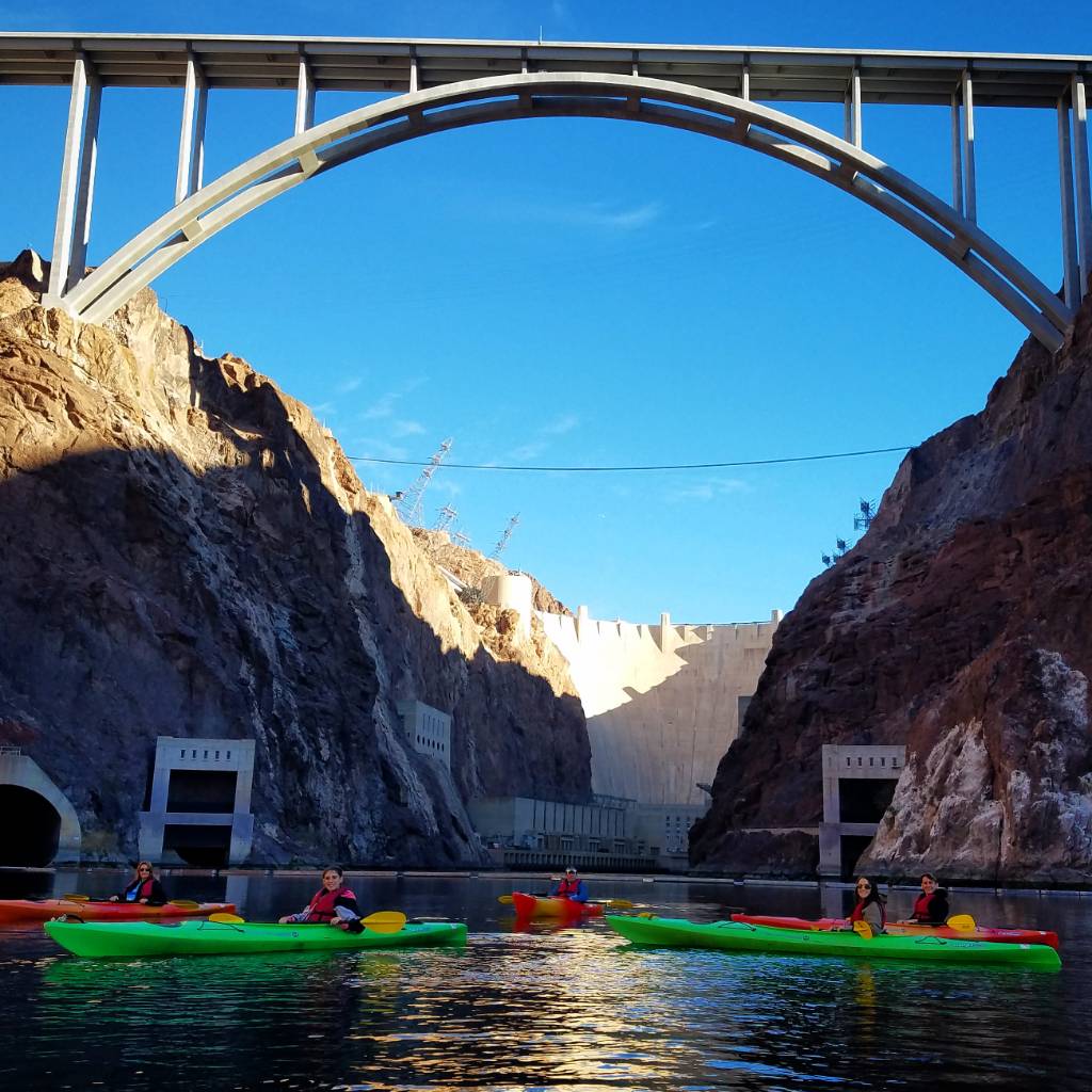
A little mtb and a little floating. Taking my nieces and nephew and their parents down Black Canyon Water Trail.

e2fcad487bbbf31d7795c65556537ec2.jpg


Sent from my SM-G935V using Tapatalk
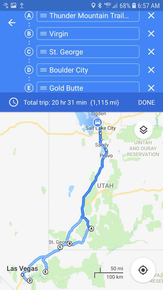
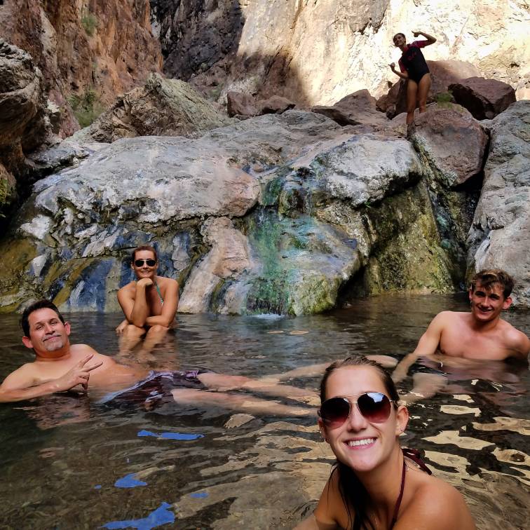
Well I made it to Thunder Mountain and Virgin and the Kayak trip. But had to cut my trip short because I pulled a hamstring down climbing on the Kayak trip. I am annoyed. This is the 3rd time I have had to bail in going out to Gold Butte.


616a5e4c5f0c83eec456516fdc7a7399.jpg

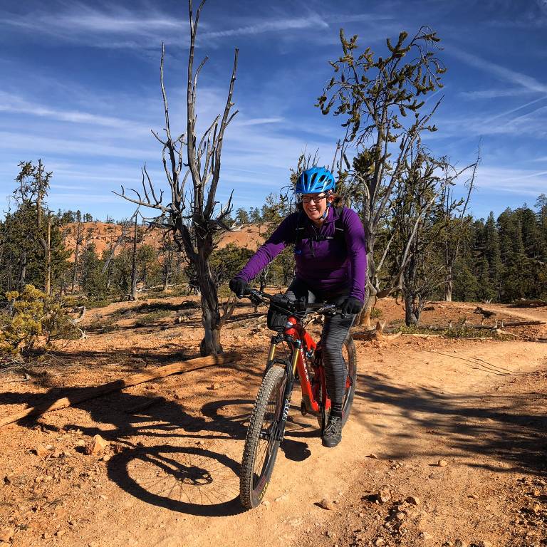
Me on Thunder Mountain
26a877194323df64c75708652cbed200.jpg

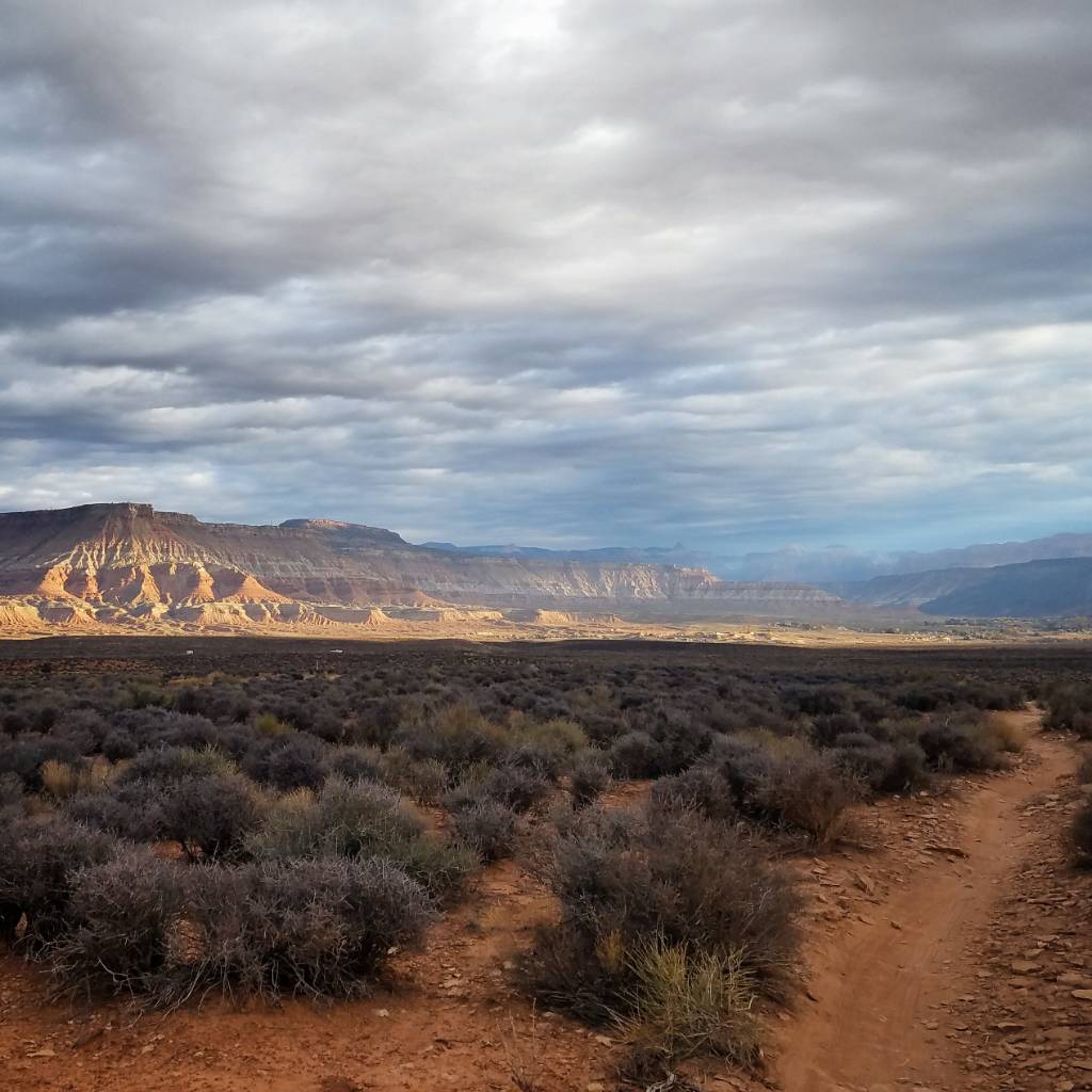
Early morning ride before the storm arrived on JEM. That storm looked like it was going to dump a lot of moisture but it barely sprinkled where I was. However you could tell in STG it dumped a fair amount.

f181bdf043a6077031b06ddf209e5b4e.jpg


6835d5bd41f6666d36bf6e8393630022.jpg

Kayak Trip

I think I will have to just plan a trip specifically to Gold Butte instead of adding it to something I have going on. It has been on my list since the first year I lived in STG when a friend gave me a map with Little Finland's location marked on it.

Sent from my SM-G935V using Tapatalk
 
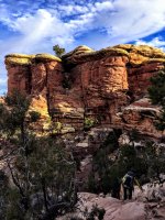
Yesterday we hiked in The Needles, the loop with the Joint trail and Chesler Park. It was a wonderful day, the sun popping in and out, dramatic skies, nobody around (saw only 2 girls). One girl had been working as a ranger in Capitol reef for 6 months. Her favorite trail: Upper Muley Twist..... Hm, that reminds me, that I'm about 10 TRs behind, and I definitely need to finish the Upper Muley TR!

There is "milage" and then there is "Needles Milage"..... We never hike many miles per hour in The Needles, lots of up and down and it's so beautiful, stunning. And I know there are many pictographs in there.... one day! Rick is out running now (because there is also "running milage" to be completed, seriously.....!), so for now here are just some of my iPhone pictures:

It started out like this.... Look at the clouds!
image.jpeg

image.jpeg

Not sure if it's just me.... But I was thinking that looks like the legs of an Elephant- in Elephant Canyon.
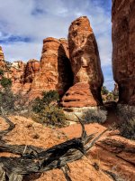
image.jpeg

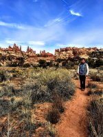
A little further on the trail, cairns to the bottom right. Beautiful.
image.jpeg

Almost at the jeep road
image.jpeg

Then it got all cloudy.... Here is the split off point to Beef Basin
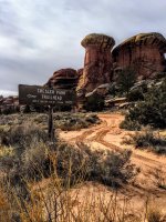
image.jpeg

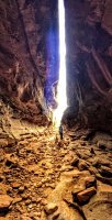
And then the chamber....
image.jpeg

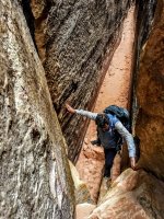
More Joint Trail stuff....Always impressive.
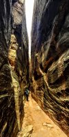
image.jpeg

image.jpeg

We came out of the Joint trail and headed towards Chesler Park. It was all cloudy, but after several times in The Needles, I knew what might happen with the sharp line between all the clouds and the sunshine. The line with blue sky was just 15-30 mins away, so I said let's wait it out and enjoy Chesler Park all lit up on the way back. And sure enough....
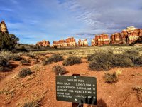
image.jpeg

We rarely spend much time at the viewpoint, but there was nobody there. So we sat down and enjoyed it. I was snoozy and thought about taking a @Ugly nap..... But it was already late...
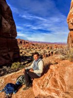
image.jpeg

Just below the viewpoint our phones went bling, bling, bling.... Full signal. My neighbor texted a picture of our driveway back east and asked if I wanted it plowed...... Ouch, every picture from back East looks hm.... Grey, icy, dark..... Then my phone went dead. So more time went by with finding the cable (that I forgot to pack) for the charger (that I did pack).

Then it got even nicer where we were. This is looking back up at the viewpoint.
There was a pinkish tone in the clouds on the left side.
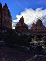
image.jpeg

More cloud distractions on the way back
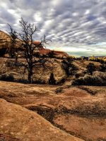
image.jpeg

Then it got really nice..... I'm guessing Rick's pictures will be awesome from this spot. He is standing to the right.
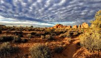
image.jpeg

Tiny Jeep waiting, we left the parking at 5 pm. Nobody else there. Only 1 car when we arrived.
We keep cutting it closer and closer to the dark. We have headlights, but that's a difficult trail in the dark.
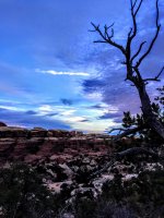
image.jpeg

Such a beautiful place....!
 

Attachments

  • image.jpeg
    image.jpeg
    428.3 KB · Views: 23
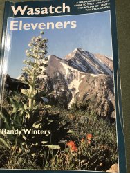
Before: Three years ago after visiting the titcomb basin in the wind rivers and climbing Fremont peak the wasatch Mountains in salt lake city came alive to me. I couldn’t stop staring at them as I drove down the freeway. I grew up in north Ogden and knew the mountains in my neighborhood but had never ventured to the beautiful wasatch mountains to the south of me. I purchased a book called the wasatch eleveners to learn more about them. Soon after buying this informative book I solo hiked my first wasatch eleven thousand foot peak mt timpanogos on 10/14/16. Not long after that I discovered a most wonderful group of hiking adventures through wasatch peakbaggers. Through wasatch peakbaggers I have met and hiked with many great people. I have even made some very good lifelong friends. After doing a couple of these eleven thousand foot peaks I was hooked and set a goal to climb all 33 of the wasatch eleveners listed in the book. Summit post adds two additional peaks unnamed peak 11,033 and unnamed peak 11,050 on the Cottonwood ridge. Therefore I decided I better hit those two as well to make the list complete and somewhat official like.

BEA9B90F-83F8-4386-8DDE-2127F3003D1A.jpeg
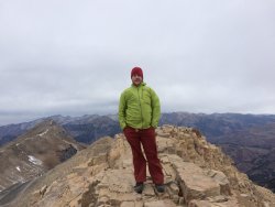
During: First wasatch elevener mt timpanogos from aspen grove 10/14/16
F0BD8DE0-3AED-4FF1-9042-56083200BFC2.jpeg

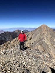
After: I am happy to to report that as of 10/12/19 I finished my last wasatch elevener middle nebo.
48791A8E-A5FD-48E5-B13E-570259D3FB1A.jpeg
 
Before: Three years ago after visiting the titcomb basin in the wind rivers and climbing Fremont peak the wasatch Mountains in salt lake city came alive to me. I couldn’t stop staring at them as I drove down the freeway. I grew up in north Ogden and knew the mountains in my neighborhood but had never ventured to the beautiful wasatch mountains to the south of me. I purchased a book called the wasatch eleveners to learn more about them. Soon after buying this informative book I solo hiked my first wasatch eleven thousand foot peak mt timpanogos on 10/14/16. Not long after that I discovered a most wonderful group of hiking adventures through wasatch peakbaggers. Through wasatch peakbaggers I have met and hiked with many great people. I have even made some very good lifelong friends. After doing a couple of these eleven thousand foot peaks I was hooked and set a goal to climb all 33 of the wasatch eleveners listed in the book. Summit post adds two additional peaks unnamed peak 11,033 and unnamed peak 11,050 on the Cottonwood ridge. Therefore I decided I better hit those two as well to make the list complete and somewhat official like.

View attachment 83790
During: First wasatch elevener mt timpanogos from aspen grove 10/14/16
View attachment 83788

After: I am happy to to report that as of 10/12/19 I finished my last wasatch elevener middle nebo.
View attachment 83789

That is so awesome! So what are your favorites?
 
Thanks @scatman !

That is so awesome! So what are your favorites?

Lots of good ones. Fun to climb new peaks for the sense of adventure and the views. I would have to say I love spring snow climbs and glissading. Pfiefferhorn in the spring snow up maybird gulch. White baldy from the alpine side. Red baldy is a fun steep climb in the spring snow from the west and a fun scramble in the summer from the east ridge.
 
Back
Top