- Joined
- Sep 10, 2021
- Messages
- 48
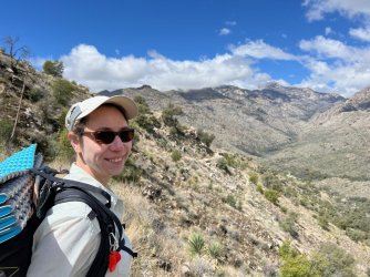
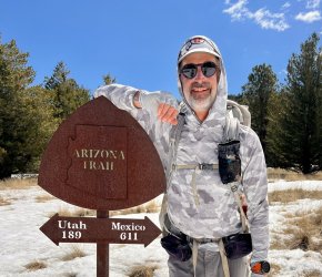
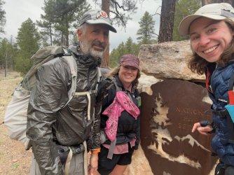
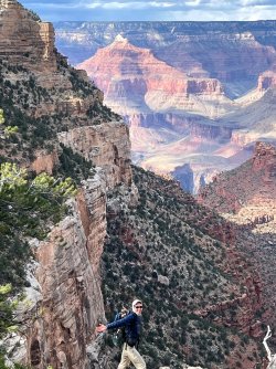
The Arizona Trail is a great option for an experienced hiker looking for thru hike experience without committing to a longer trail such as the PCT or the CDT. I spent 32 days hiking the AZT with one zero day during a storm and a day hike in the Grand Canyon as we waited for a backcountry permit. Katja Keller, aka Spacious, was the impetus for the hike. Spacious is from Berlin, Germany. We became friends on the PCT a coupe years ago. Spacious is not fond of warm temperatures and had a limited vacation window, sadly only 6 weeks a year, which is why we had a slightly shortened trip total than the official 800 miles.
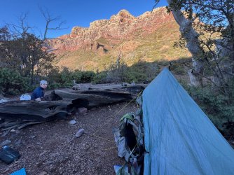
In 33 days of hiking my Garmin 7X pro counted 570 miles and approximately 79,000 feet of elevation gain. Our goal was to hike just under 20 miles per day but this varied based on water and other trail characteristics such as camp locations / topography and weather exposure. I have found that this distance limit significantly reduces use injuries such as tendinitis. 20 mile days allows enjoyment of a campsite and provides enough off the feet time & overall rest to eliminate zero days sitting in town. On a typical ‘town day’ we arrive mid-day to resupply, shower and do laundry after 10 or 12 miles. We usually stay in a motel that night and leave after an early breakfast the next day. I was the oldest in our group at 59 years young and this strategy works well.
A storm came through while we were at the Grand Canyon and which would have made about half of the final segment a road snow walk. We also skipped a portion of the trail in the south around the I-10 corridor as this was shown as one of the warmer temperature zones for the trail. Kasey Wagoner, aka Cougar, joined our trail family about halfway through the trip.
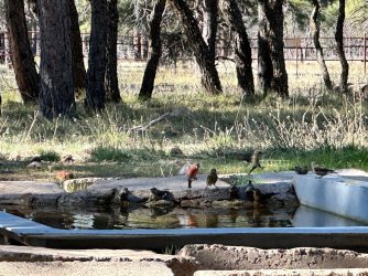
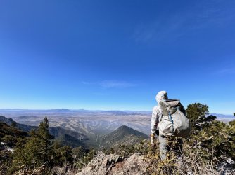
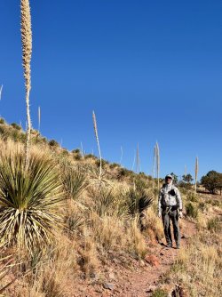
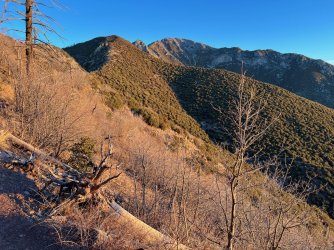
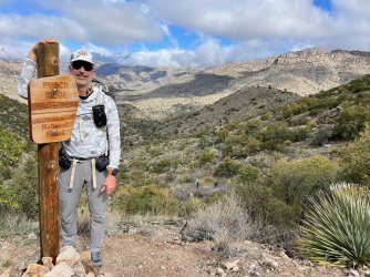
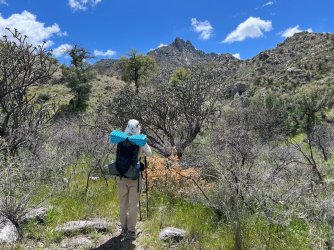
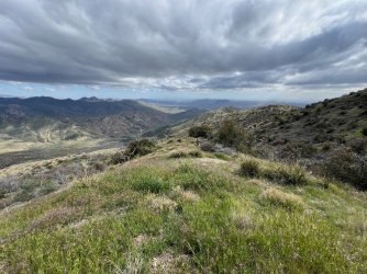
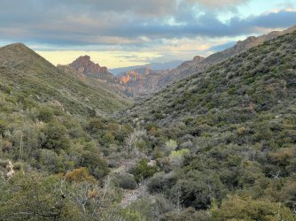
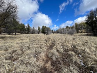
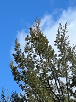
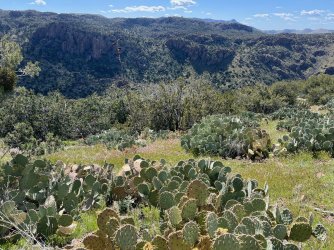
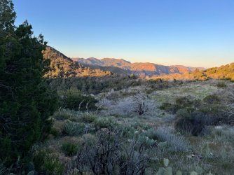
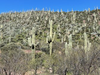
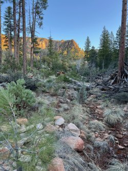
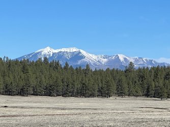
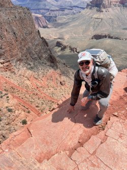
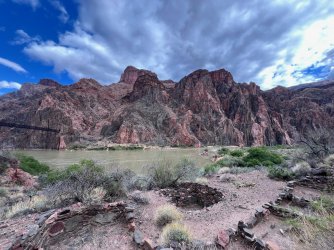
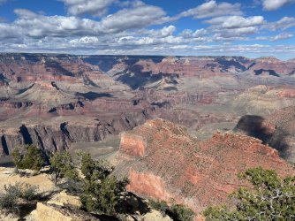
The AZT has a great variety of terrain and ecosystems as a significant portion of the trail is at higher elevations. The sky islands in the south were amazing to me with a nice mix of trees including oaks and much wildlife. A few species of birds are prevalent in this zone and no further north. I was lucky to see a Grey Hawk pair up close and a Common Black Hawk from a distance. We heard many owls at night along the entire trail including a spotted, long eared, great horned, flammulated, saw whet, western screech and a whiskered screech owl. The trail begins to cross through the dessert south of I-10. The AZT goes near/along the Gila River and into Saguaro National Monument. Then thru a series of mountain ranges and ridges until up on the Mogollon Rim. This plateau continues to the Grand Canyon. For most hikers, the section through the Grand Canyon is the trail/trip highlight.
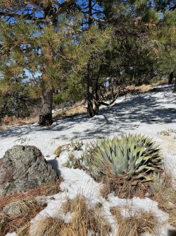
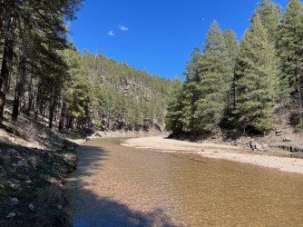
Water was quite prevalent in the south thanks to a wet winter and a couple robust recent storms. There were quite a few water caches run by trail angels in the south indicating that water can be scarcer later in the year but we seldom had to use these resources. Between Flagstaff and the South Rim, water was mostly accessed from wildlife cisterns or cattle ponds with only a few flowing springs along the way. Almost all of our hiking was done in April and we walked on about 15 miles of snow. Temperatures for our trip were pleasant and we had quite a few nights just above or below freezing in early April. It was intereesting to see previous year’s trip reports during drier periods and warmer temperatures.
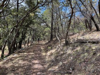
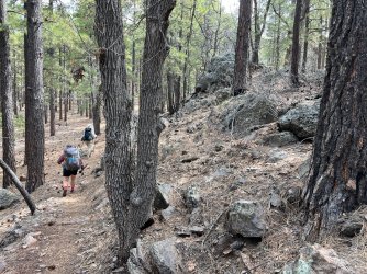
The trail has quite a bit of elevation gain and loss per mile. It is quite a bit rockier or rougher than the PCT but is typical for a US Forest Service trail in the mountains. We saw quite a few new miles of machine cut multi-use trail north of Patagonia as this year’s improvements.
There were 2 notable road walks, both were in more remote sections which had very little ATV traffic. (4 vehicles in 20 miles) Overall the trail was a well cared for and I expect it will continue to see significant improvements in the years to come.
The AZT is a well run organization and their website provides great information to plan your hike. There is great support along the trail to transport and support hiker resupply. The trail has a much more wild feel than the PCT and there are a fraction of hikers on the trail. I estimated between 5 and 10 thru hikers passed by every day. The hikers on the trail are experienced, as almost all have done one of the 3 major thru hike trails. Most have hiked the PCT and a few have also done the CDT or AT.
I highly recommend taking the time to fit the Arizona Trail into your backpack life plans !
Thanks for reading, Bob aka Raven....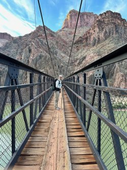


