John Goering
Member
- Joined
- Sep 30, 2014
- Messages
- 496
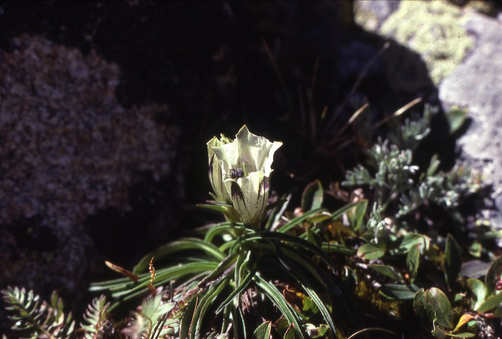
I have recently taken up the task of scanning my slides from the last century. Most of these were Kodachrome 25 which neither of my two dedicated slide scanners much appreciated but which the flat plate scanner seems to do an acceptable job-just really slow. This was a 1980 trip through the Beartooths. It started at the Chief Joseph Trailhead out of Cooke City but I'm uncertain that moniker had been hung on there at that time. The Chief Joseph Trailhead is obviously usually the terminus of the "Beaten Path", the 26 mile route between it and "civilization" at East Rosebud Lake, otherwise noted as FS trails, 3 and 15. This trip utilized FS 564 up past Curl Lake, and at the time of this trip, the trail continued for most of the length of Broadwater Lake. (the 1988 fire obliterated the trail around Broadwater Lake). From there it was off trail for several days with our route climbing up on the Plateau via Moccasin and Splinter Lakes, dropping into Sky Top Creek. Thence up that creek past Lone Elk and Rough Lakes to lower Sky Top Lake where we camped for two days and made a day trip loop up around Sky Top Lakes. It was then over into Cairn where we spent another two nights, spending the day fishing for Cairn's magnum brookies. The ones we caught averaged about 3.5 lbs but I swear there were some in that lake that could have eaten those. Following that stay, we dropped into East Rosebud Creek via Medicine Lake, hitting the beaten path again at Twin Outlets Lake and camping the last night at Rainbow Lake, followed by the hike out to East Rosebud Trailhead.
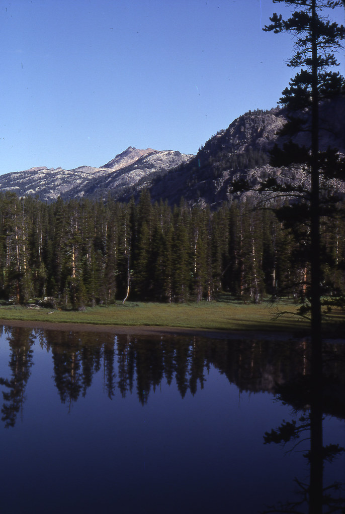
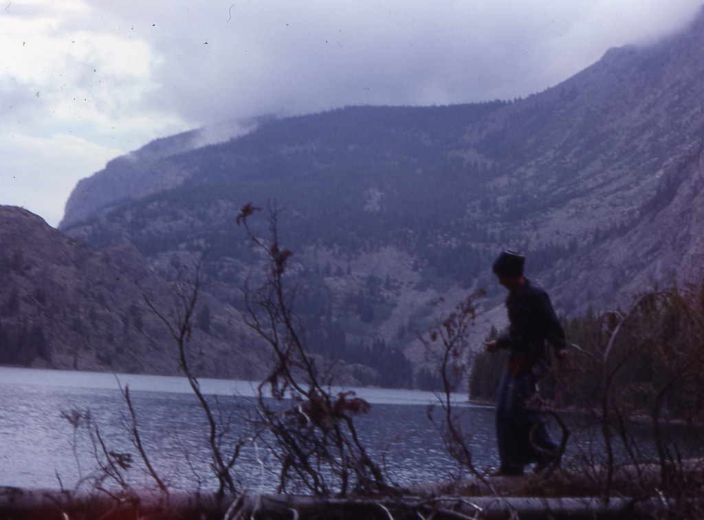
Near the upper end of Broadwater Lake
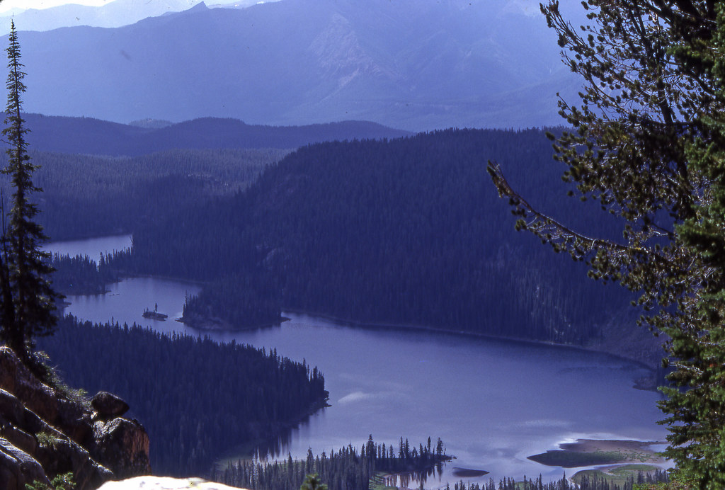
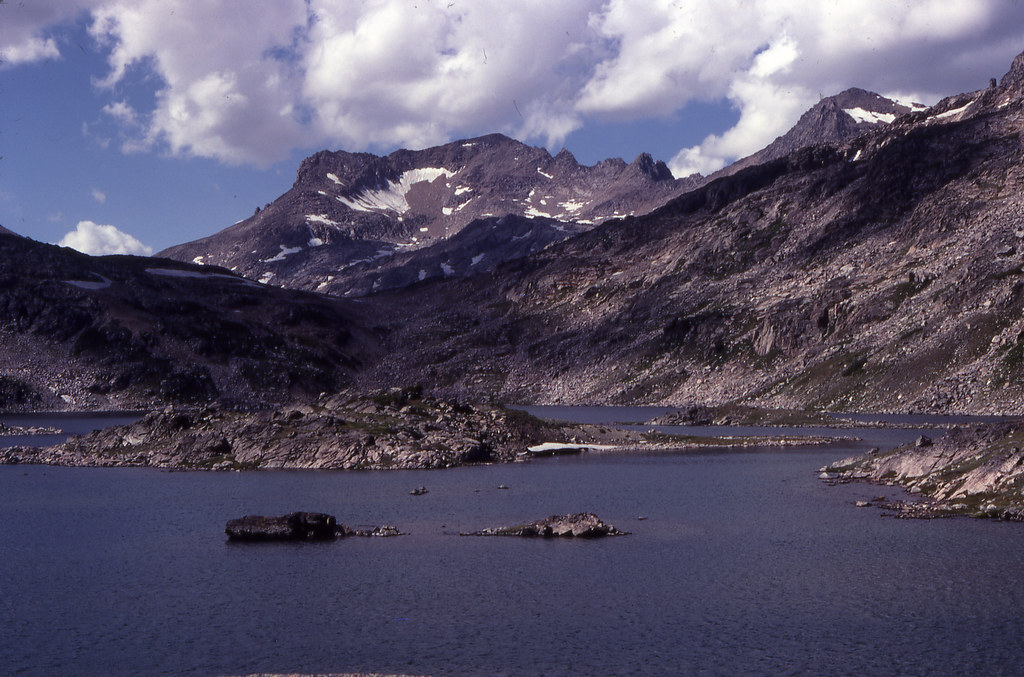
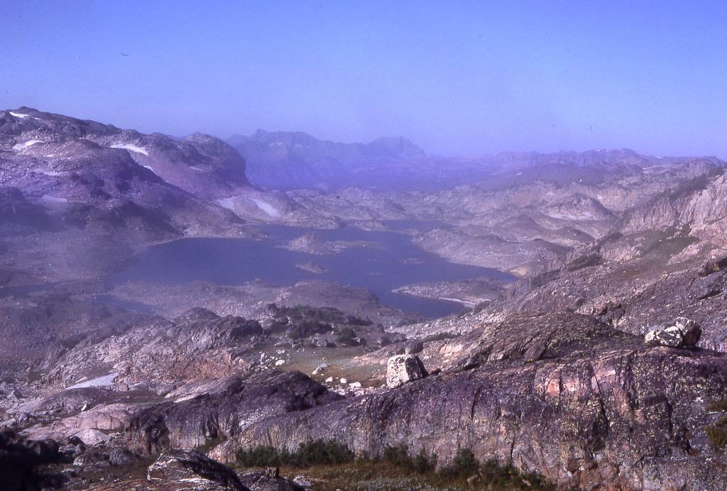
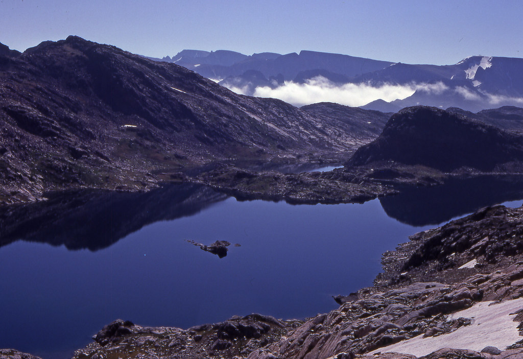
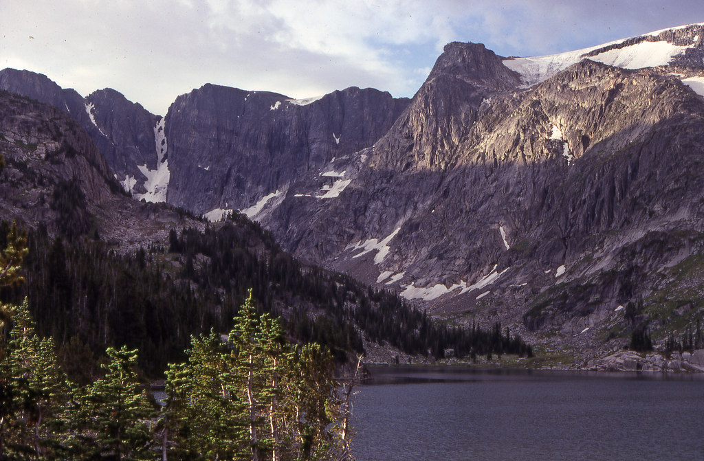
Broadwater (nearest) and Curl Lakes
This was paper and compass----
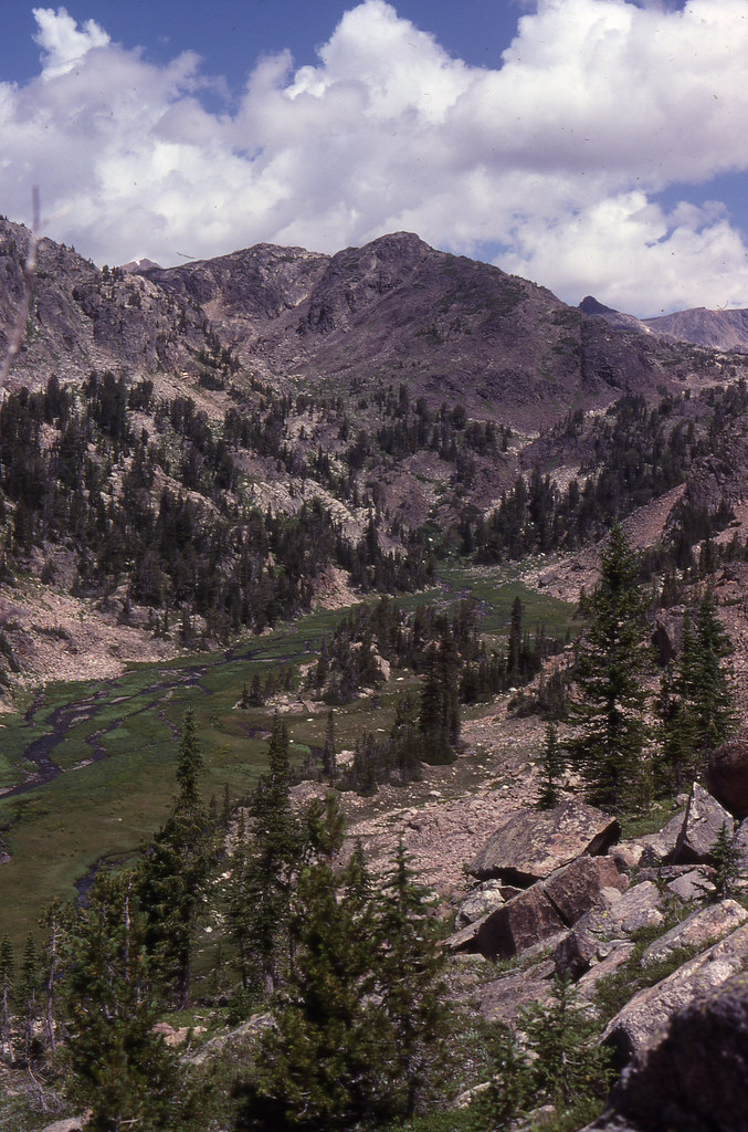
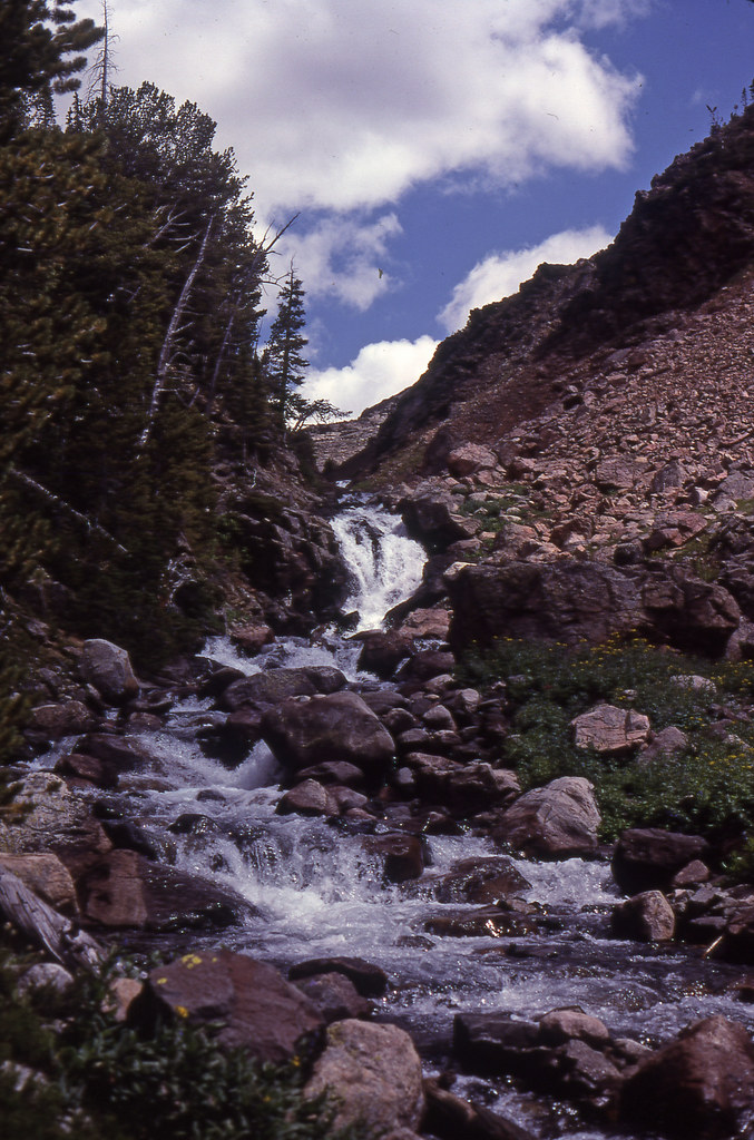
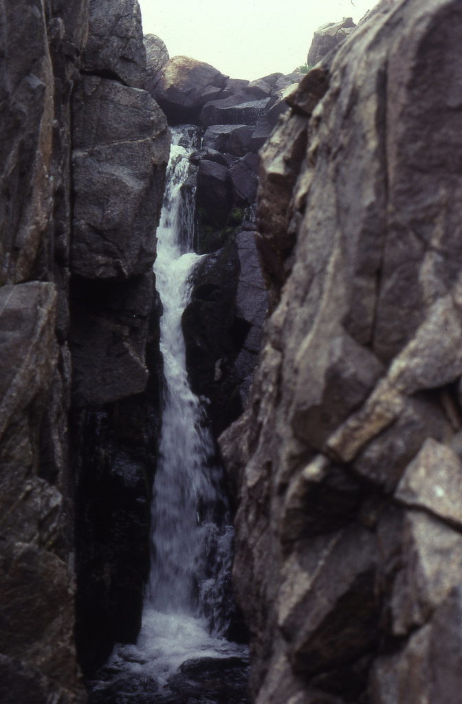
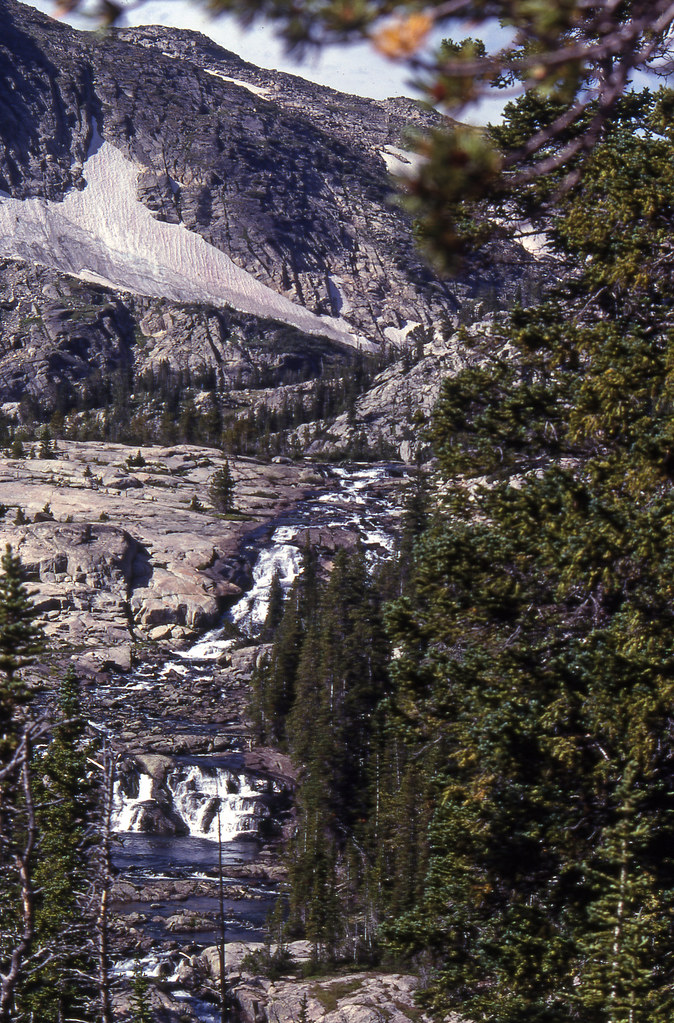
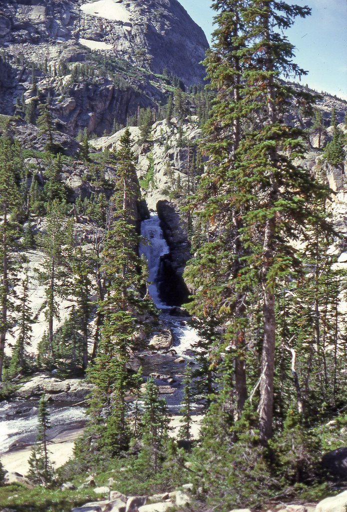
Sky Top Creek
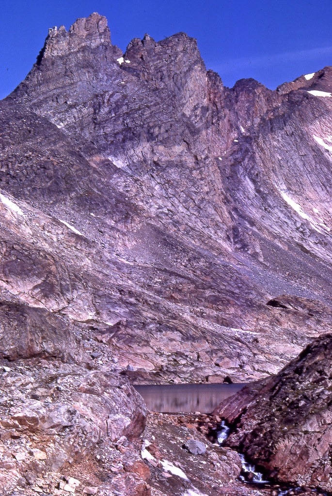
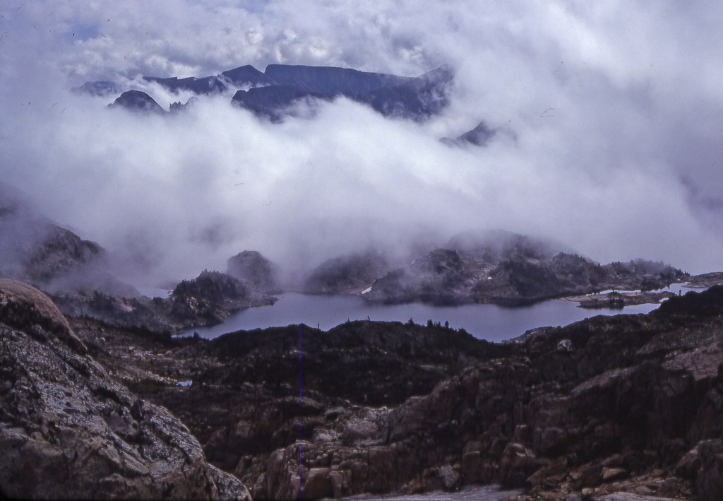
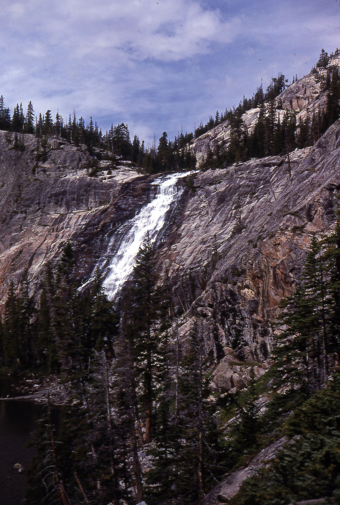
Rough Lake
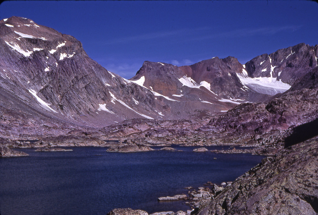
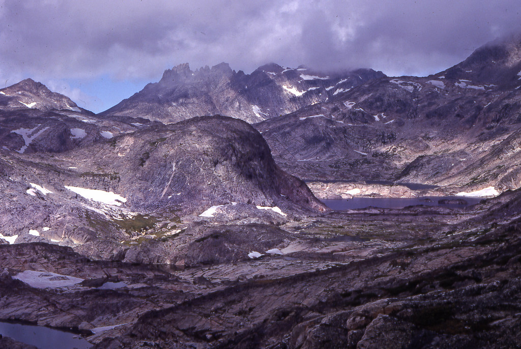
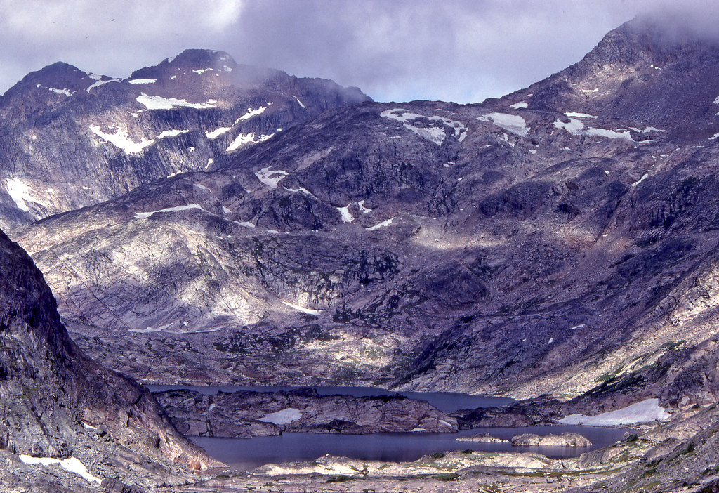
Lower Sky Top Lake and The Spires
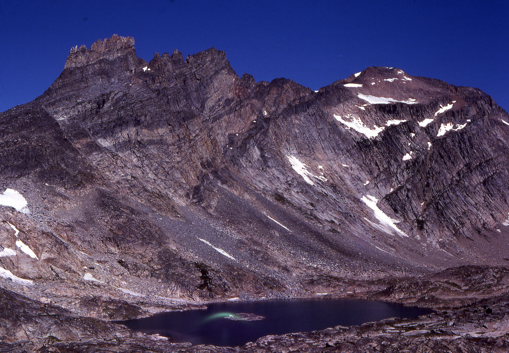
Lower Sky Top Lake, Mount Villard, and some of the Sky Top Glacier
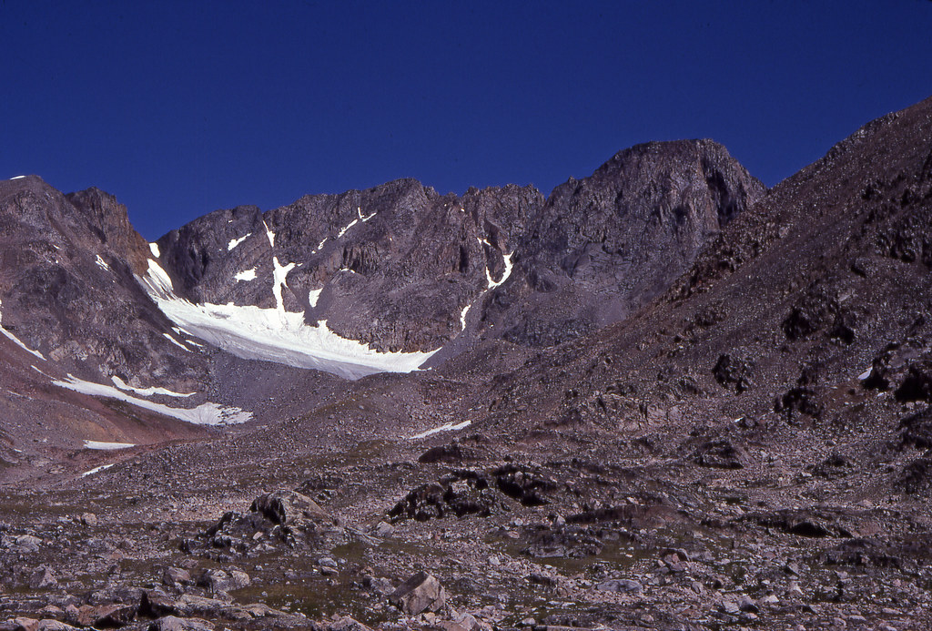
Sky Top Glacier and Granite Peak (right), highest point in Montan at 12,799 or 12,802' dpending on the source.
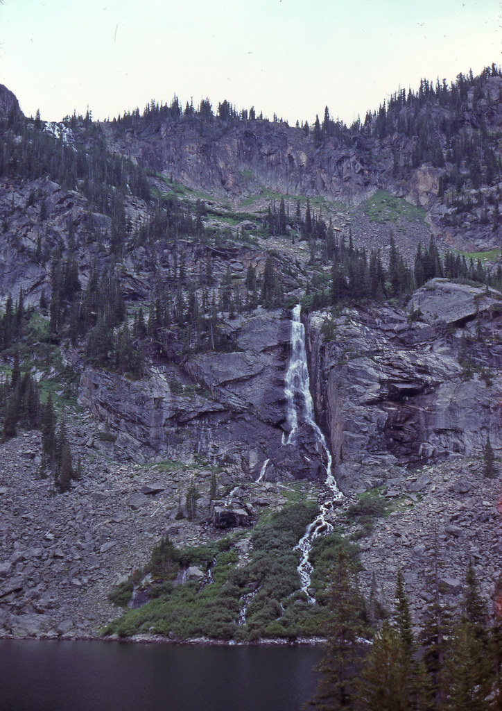
View back towards Rough Lake
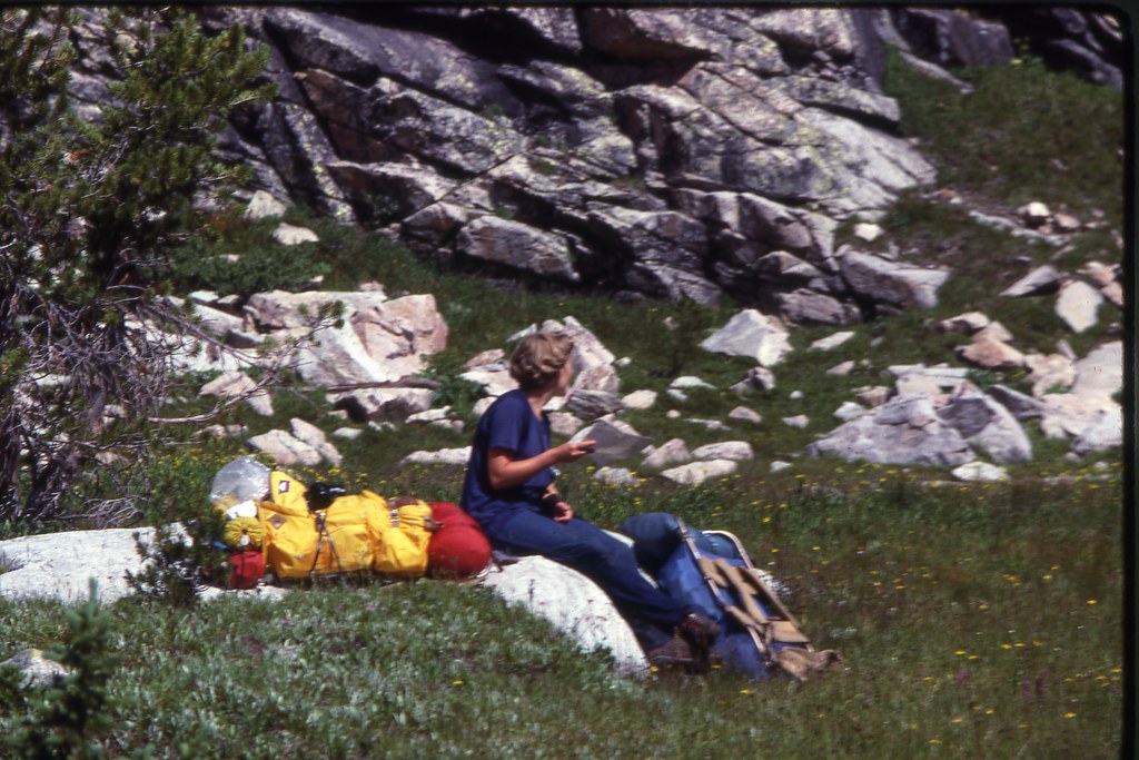
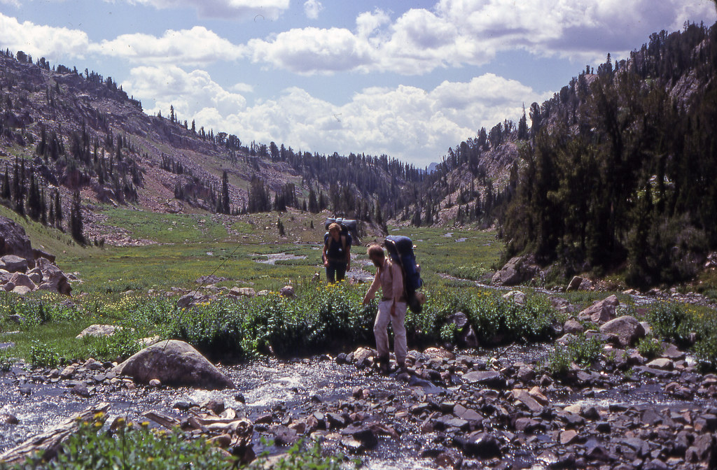
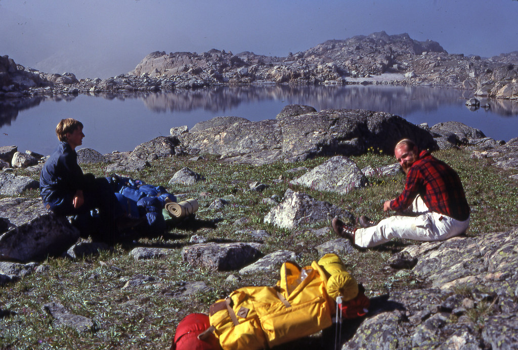
Still my wheeling/camping/backpacking buddies 44 years later
Next to the upper most Sky Top Lake and The Spires
Near the upper end of Broadwater Lake
Broadwater (nearest) and Curl Lakes
This was paper and compass----
Sky Top Creek
Rough Lake
Lower Sky Top Lake and The Spires
Lower Sky Top Lake, Mount Villard, and some of the Sky Top Glacier
Sky Top Glacier and Granite Peak (right), highest point in Montan at 12,799 or 12,802' dpending on the source.
View back towards Rough Lake
Still my wheeling/camping/backpacking buddies 44 years later
Next to the upper most Sky Top Lake and The Spires
")
