xjblue
Member
- Joined
- Sep 6, 2012
- Messages
- 370
Southern Utah Traverse 2009
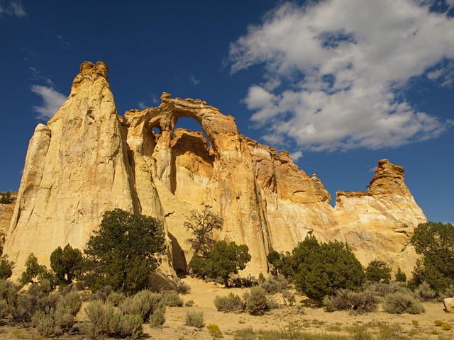
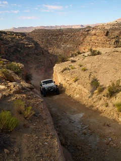
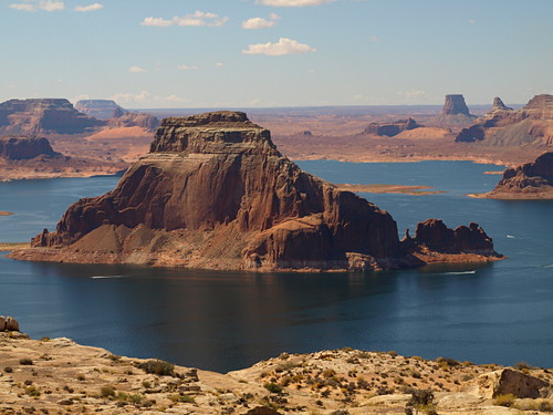
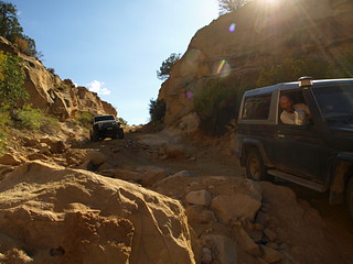
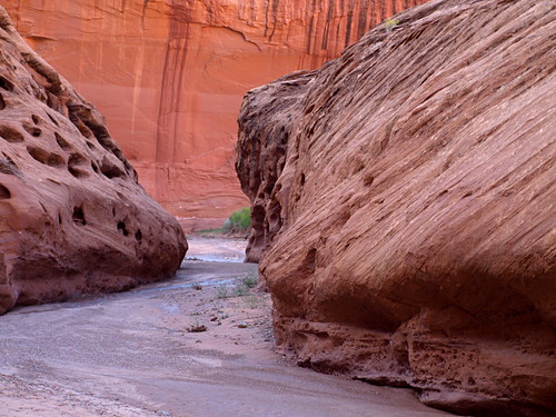
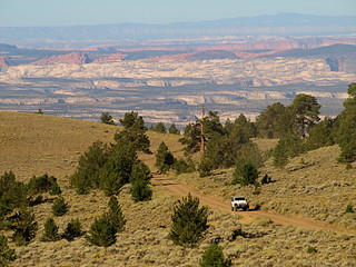
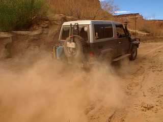
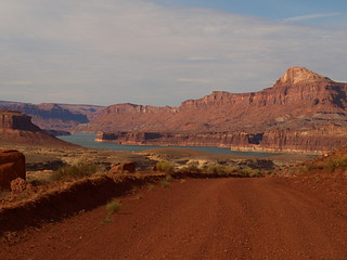
Border to border traverse of Southern Utah completed successfully by three members of Expedition Utah and their three trusty vehicles between September fourth and September twelfth, two thousand and nine.
Participants
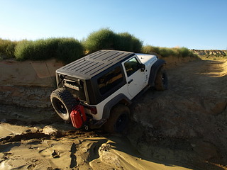
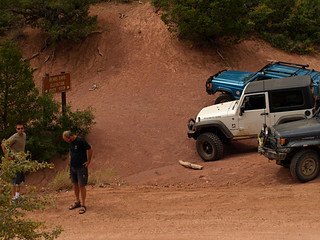
Adam, with a Jeep JK Wrangler Rubicon
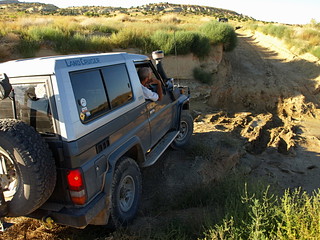
Jan, with a Toyota HZJ73 LandCruiser
and Myself (Jared), with a Jeep XJ Cherokee Sport
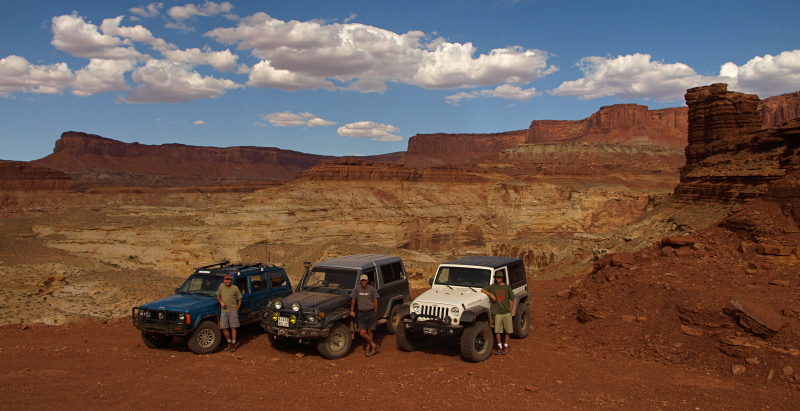
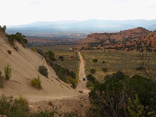
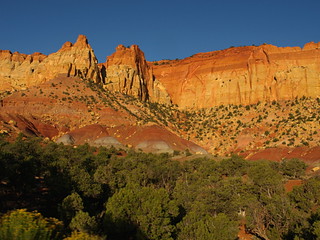
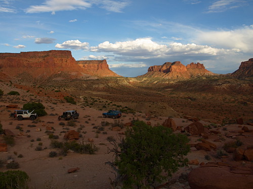
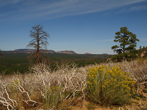
0909SUT-D5_46 by xjblue, on Flickr
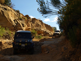
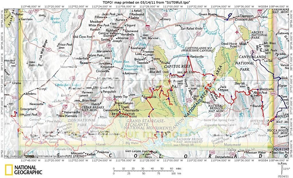
There are countless route options and even methods of travel with which a trip across southern Utah can be put together. One day on paved roads or two months exploring every spur, the sky isn't even the limit if you consider remote landing strips. Thinking about spending two months reminds me when while at an REI store years ago I listened to a presentation by folks who nearly crossed all of southern Utah by foot while avoiding roads of any kind as much as possible.
The ideal traverse will vary greatly depending on who you talk to. For those of us on Expedition Utah it’s safe to say the ideal vehicle dependent route avoids pavement by rule and escapes crowds often while taking the traveler across Utah's most wild and beautiful desert and mountain landscape.
Although this trip may pale in comparison to proper expeditions conducted regularly around the globe it was truly an epic trip for us.
Where to begin?
For us it all began one rainy night in Nevada’s scenic Beaver Dam State Park.
http://parks.nv.gov/bd.htm
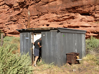
Remote and probably never full the state park campground makes for the perfect rendezvous with really decent under used campground facilities.
I arrived to find Jan and Adam waiting for me, a simple call on the CB radio at just the right moment brought us quickly together. We chose two adjacent sites with hardly any neighbors in site and set up for the night. Jan simply had to hop in the back of his ever ready cruiser, a model of overland efficiency. Adam set up a tent while I picked out a good spot under the stars hoping the dissipating rain clouds were finished and joking about how quickly I'll hop in the jeep if it starts to storm.
Hours later and after finally dozing off I awoke to a bright flash of lightning and the smell of rain. I quickly Started to unravel the waterproof bivy sack by my side while the thunder rolled. Then a whole series of lighting flashes in every direction caused me to stop and look around, lightning storms lit up every horizon. Galvanized by another close flash of lightning and drops of rain I was up and running to the Jeep with sleeping gear in hand. Looking around from the drivers seat as more lightning crashed around I realized I had time to put the ground tarp and camp chair away, just enough time. I noticed even Adam abandoned his tent in favor of weathering out the storm in his wrangler. After a brilliant display which lasted quite a while I finally found a comfortable position and drifted to sleep wedged cross ways in the back seat legs dangling over the center console.
Day One
Morning came too soon after finally getting to sleep but not soon enough to start the Southern Utah Traverse. Jan was chipper and ready to go, unfazed by the lightning and rain storm and with nothing to pack or re-arrange before breaking camp.
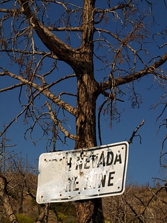
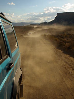
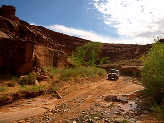
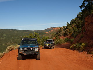
leaving the park we took a left turn heading south along Beaver Dam Flat and over Pine Ridge then the Doc Pass Road to Bunker Peak Road. A left on Bunker Peak road took us towards the border and offered a fun twisty route out of the mountains with great views in to Utah. A signed intersection directed us to the border and first goal of the traverse, an old border sign!
0909SUT-D1_06 by xjblue, on Flickr
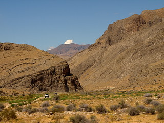
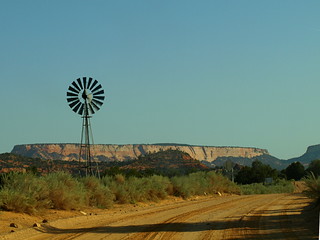
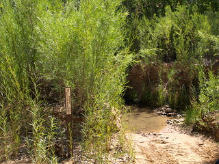
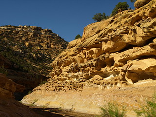
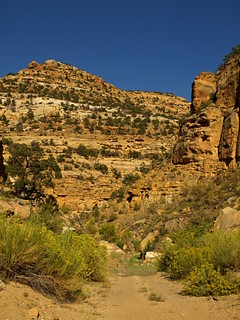
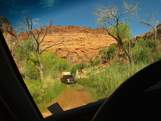
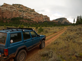
Putting the Nevada map away we continued towards Motoqua then made a right turn to run the Scarecrow Peak Trail taking us back to run along the Utah side of the border through a thin Joshua tree forest and back down across Beaver Dam Wash which boasts being the lowest point in Utah somewhere along it's stretch.

0909SUT-D1_12 by xjblue, on Flickr
Joshua Trees along the Utah Nevada Border.
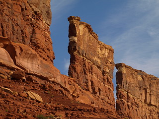
0909SUT-D1_17 by xjblue, on Flickr
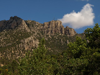
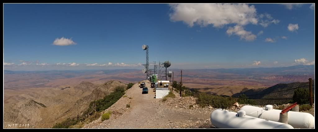
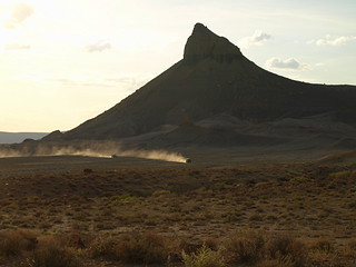
towers on West Mountain Peak
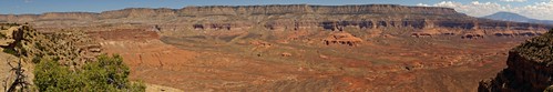
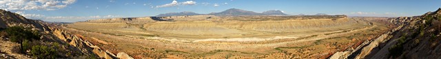
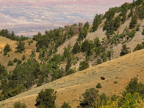
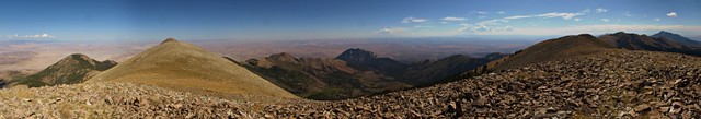
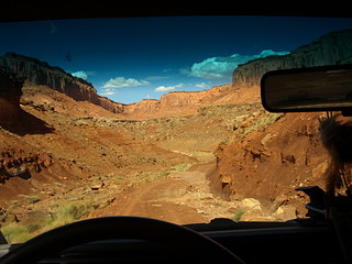
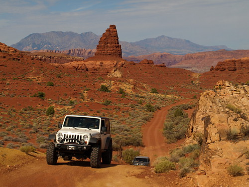
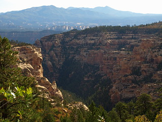
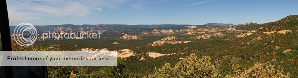
Climbing out of the wash after a brief stop at Jackson Well we took a right on the Indian Springs Trail heading south again towards Hell Hole Pass. We drove up Hell Hole Pass taking a left at the top for the steep road up to the TV towers on West Mountain Peak, part of the Beaver Dam Mountains. There we enjoyed 360* views of the whole southwest corner of Utah and could retrace our whole route that morning from Bunker Pass.
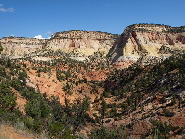
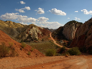
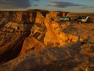
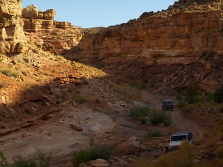
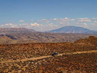
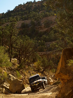
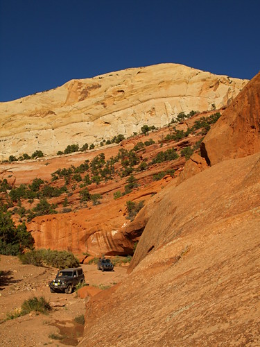
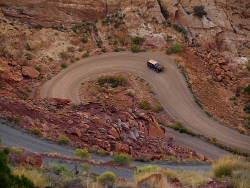
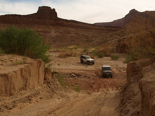
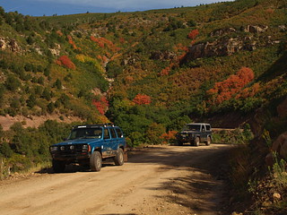
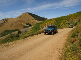
After lunch on top we descended and finished the Hell Hole Pass trail followed by a right turn for our first short bit of blacktop down old Hwy 91 to take the Joshua Tree Road/Mojave Desert Scenic Backway. This we took northwest climbing up Bulldog pass and again across the Beaver Dam Mountains, after I missed a turn we quickly re-traced and descended toward Bloomington on Hollow Wash Road.
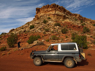
0909SUT-D1_27 by xjblue, on Flickr
Bulldog canyon
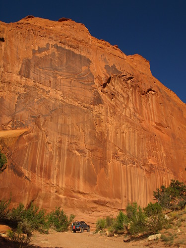
Stopped briefly to view the petroglyphs in a little neighborhood park and again to refuel before I fulfilled my own prophecy and got turned around in St. George's suburban sprawl while trying to sneak past Civilization.
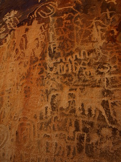
0909SUT-D1_37 by xjblue, on Flickr
Bloomington's petroglyph park detail
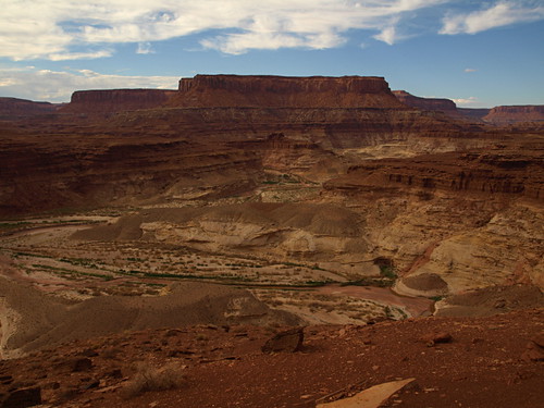
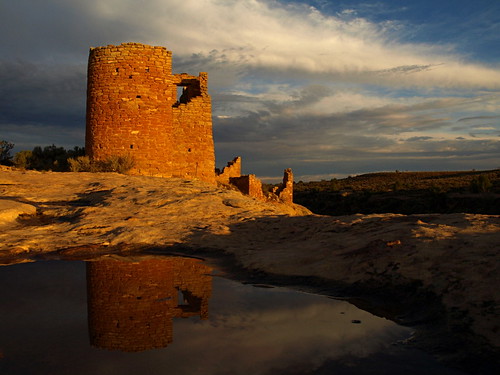
Finally back on track we traveled along the historic Honeymoon Trail and made quick work visiting Warner Valley's historic Ft Pearce and pre-historic dinosaur trackway.
0909SUT-D1_50 by xjblue, on Flickr
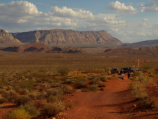
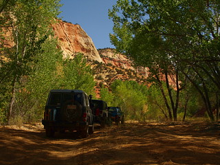
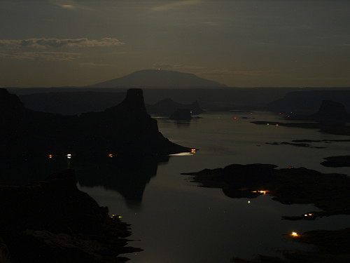
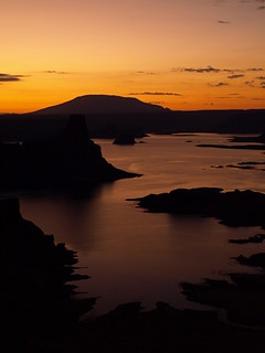
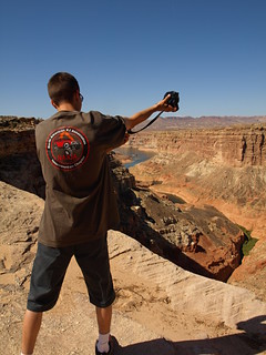
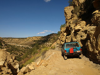
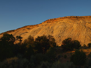
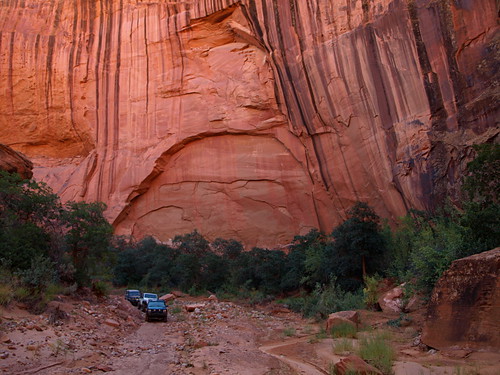
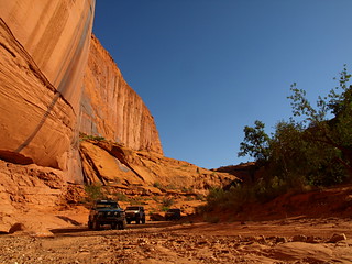
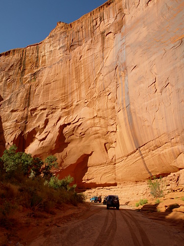
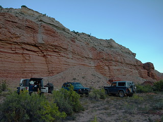
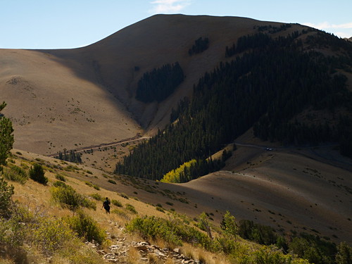
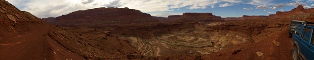
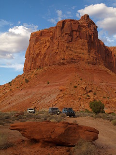
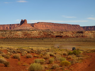
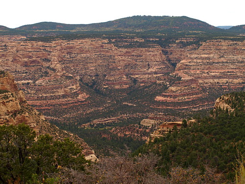
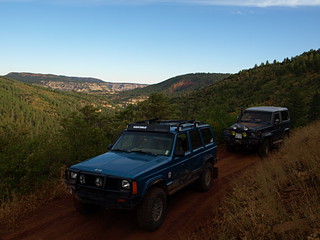
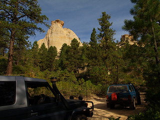
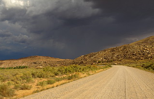
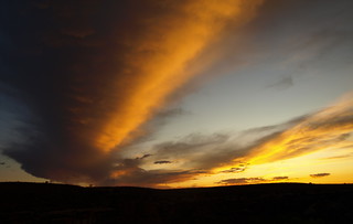
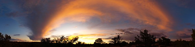
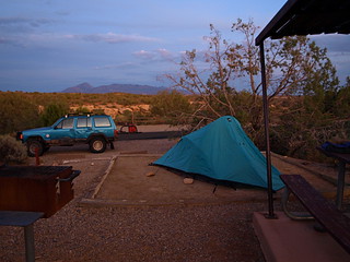
Continuing west we joined the Hurricane Cliffs Trail and with a brief but necessary dip in to Arizona drove up the amazing switchbacks paralleling the old Honeymoon Trail wagon road. On top the cliffs we found a campsite off of The Divide Trail next to Little Creek Mountain in time to set up and enjoy a spectacular rainbow laced sunset with dinner.
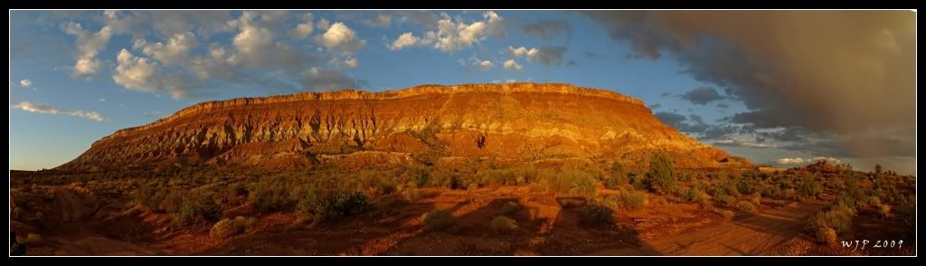
little Creek mountain
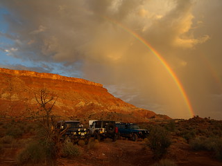
0909SUT-D1_68 by xjblue, on Flickr
Camp
All said and done, though a bit long and other than a couple missed turns day one worked out very well.
...
Featured image for home page:

Border to border traverse of Southern Utah completed successfully by three members of Expedition Utah and their three trusty vehicles between September fourth and September twelfth, two thousand and nine.
Participants
Adam, with a Jeep JK Wrangler Rubicon
Jan, with a Toyota HZJ73 LandCruiser
and Myself (Jared), with a Jeep XJ Cherokee Sport
0909SUT-D5_46 by xjblue, on Flickr
There are countless route options and even methods of travel with which a trip across southern Utah can be put together. One day on paved roads or two months exploring every spur, the sky isn't even the limit if you consider remote landing strips. Thinking about spending two months reminds me when while at an REI store years ago I listened to a presentation by folks who nearly crossed all of southern Utah by foot while avoiding roads of any kind as much as possible.
The ideal traverse will vary greatly depending on who you talk to. For those of us on Expedition Utah it’s safe to say the ideal vehicle dependent route avoids pavement by rule and escapes crowds often while taking the traveler across Utah's most wild and beautiful desert and mountain landscape.
Although this trip may pale in comparison to proper expeditions conducted regularly around the globe it was truly an epic trip for us.
Where to begin?
For us it all began one rainy night in Nevada’s scenic Beaver Dam State Park.
http://parks.nv.gov/bd.htm
Remote and probably never full the state park campground makes for the perfect rendezvous with really decent under used campground facilities.
I arrived to find Jan and Adam waiting for me, a simple call on the CB radio at just the right moment brought us quickly together. We chose two adjacent sites with hardly any neighbors in site and set up for the night. Jan simply had to hop in the back of his ever ready cruiser, a model of overland efficiency. Adam set up a tent while I picked out a good spot under the stars hoping the dissipating rain clouds were finished and joking about how quickly I'll hop in the jeep if it starts to storm.
Hours later and after finally dozing off I awoke to a bright flash of lightning and the smell of rain. I quickly Started to unravel the waterproof bivy sack by my side while the thunder rolled. Then a whole series of lighting flashes in every direction caused me to stop and look around, lightning storms lit up every horizon. Galvanized by another close flash of lightning and drops of rain I was up and running to the Jeep with sleeping gear in hand. Looking around from the drivers seat as more lightning crashed around I realized I had time to put the ground tarp and camp chair away, just enough time. I noticed even Adam abandoned his tent in favor of weathering out the storm in his wrangler. After a brilliant display which lasted quite a while I finally found a comfortable position and drifted to sleep wedged cross ways in the back seat legs dangling over the center console.
Day One
Morning came too soon after finally getting to sleep but not soon enough to start the Southern Utah Traverse. Jan was chipper and ready to go, unfazed by the lightning and rain storm and with nothing to pack or re-arrange before breaking camp.
leaving the park we took a left turn heading south along Beaver Dam Flat and over Pine Ridge then the Doc Pass Road to Bunker Peak Road. A left on Bunker Peak road took us towards the border and offered a fun twisty route out of the mountains with great views in to Utah. A signed intersection directed us to the border and first goal of the traverse, an old border sign!
0909SUT-D1_06 by xjblue, on Flickr
Putting the Nevada map away we continued towards Motoqua then made a right turn to run the Scarecrow Peak Trail taking us back to run along the Utah side of the border through a thin Joshua tree forest and back down across Beaver Dam Wash which boasts being the lowest point in Utah somewhere along it's stretch.
0909SUT-D1_12 by xjblue, on Flickr
Joshua Trees along the Utah Nevada Border.
0909SUT-D1_17 by xjblue, on Flickr
towers on West Mountain Peak
Climbing out of the wash after a brief stop at Jackson Well we took a right on the Indian Springs Trail heading south again towards Hell Hole Pass. We drove up Hell Hole Pass taking a left at the top for the steep road up to the TV towers on West Mountain Peak, part of the Beaver Dam Mountains. There we enjoyed 360* views of the whole southwest corner of Utah and could retrace our whole route that morning from Bunker Pass.
After lunch on top we descended and finished the Hell Hole Pass trail followed by a right turn for our first short bit of blacktop down old Hwy 91 to take the Joshua Tree Road/Mojave Desert Scenic Backway. This we took northwest climbing up Bulldog pass and again across the Beaver Dam Mountains, after I missed a turn we quickly re-traced and descended toward Bloomington on Hollow Wash Road.
0909SUT-D1_27 by xjblue, on Flickr
Bulldog canyon
Stopped briefly to view the petroglyphs in a little neighborhood park and again to refuel before I fulfilled my own prophecy and got turned around in St. George's suburban sprawl while trying to sneak past Civilization.
0909SUT-D1_37 by xjblue, on Flickr
Bloomington's petroglyph park detail
Finally back on track we traveled along the historic Honeymoon Trail and made quick work visiting Warner Valley's historic Ft Pearce and pre-historic dinosaur trackway.
0909SUT-D1_50 by xjblue, on Flickr
Continuing west we joined the Hurricane Cliffs Trail and with a brief but necessary dip in to Arizona drove up the amazing switchbacks paralleling the old Honeymoon Trail wagon road. On top the cliffs we found a campsite off of The Divide Trail next to Little Creek Mountain in time to set up and enjoy a spectacular rainbow laced sunset with dinner.
little Creek mountain
0909SUT-D1_68 by xjblue, on Flickr
Camp
All said and done, though a bit long and other than a couple missed turns day one worked out very well.
...
Featured image for home page:

")