South Boulder River (Tobacco Root Mountains) day hikes.

John Goering

Member
Joined
Sep 30, 2014
Messages
484
My wife and I took a day trip up the South Boulder River last week out of Cardwell, Montana. We had two goals: 1) to hike up to a pond a little over a mile south of the old mining town of Mammoth (on FS Road 107), and 2) hike up the East Fork on FS Trail 7154 until we found the snow line. The hike to the pond was off-trail and about a 1000' elevation gain in a half mile, with some serious bushwhacking thrown in.


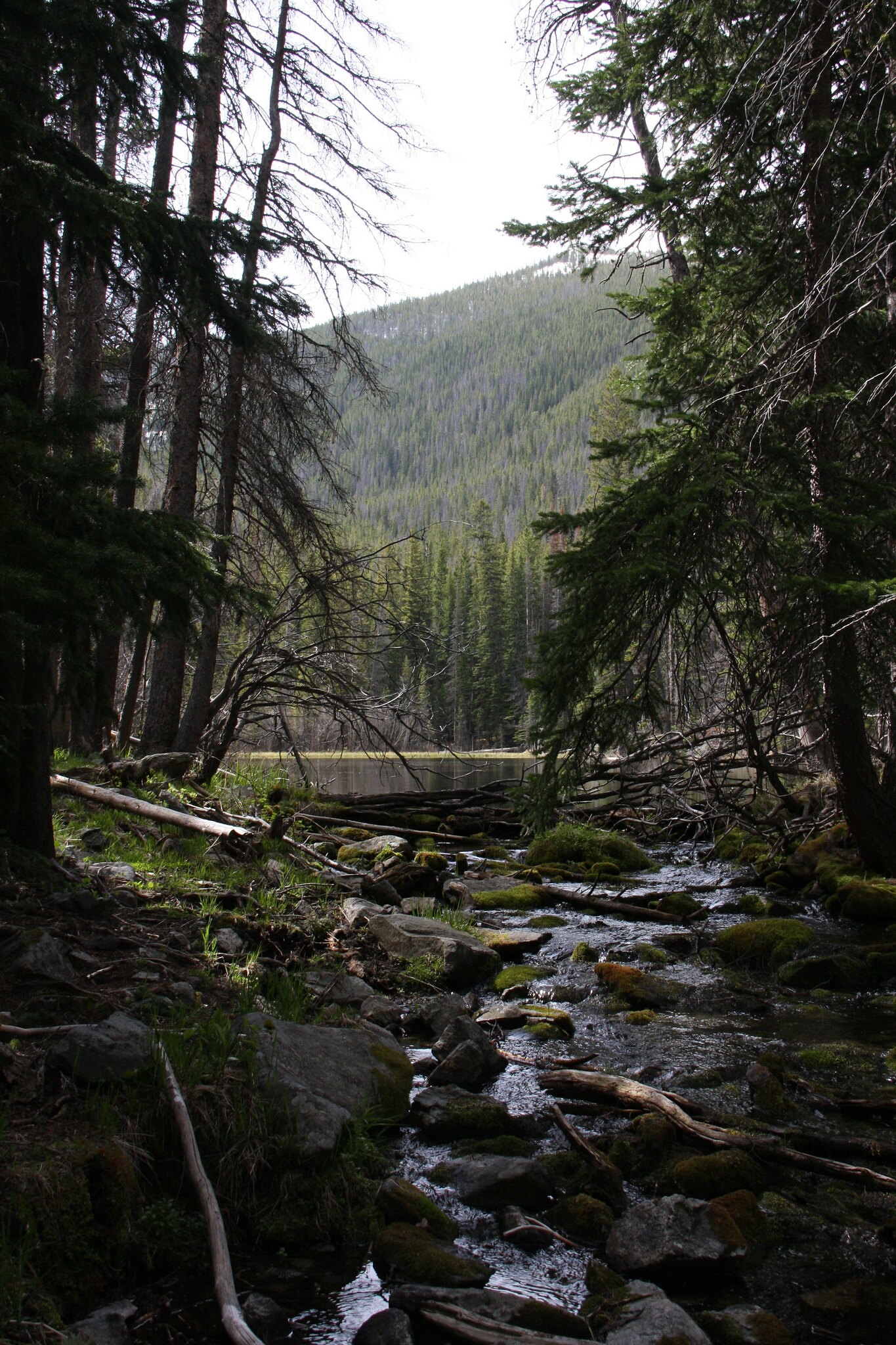
View up South Boulder from below Mammoth.

27407377336_d00bc60c13_k.jpg


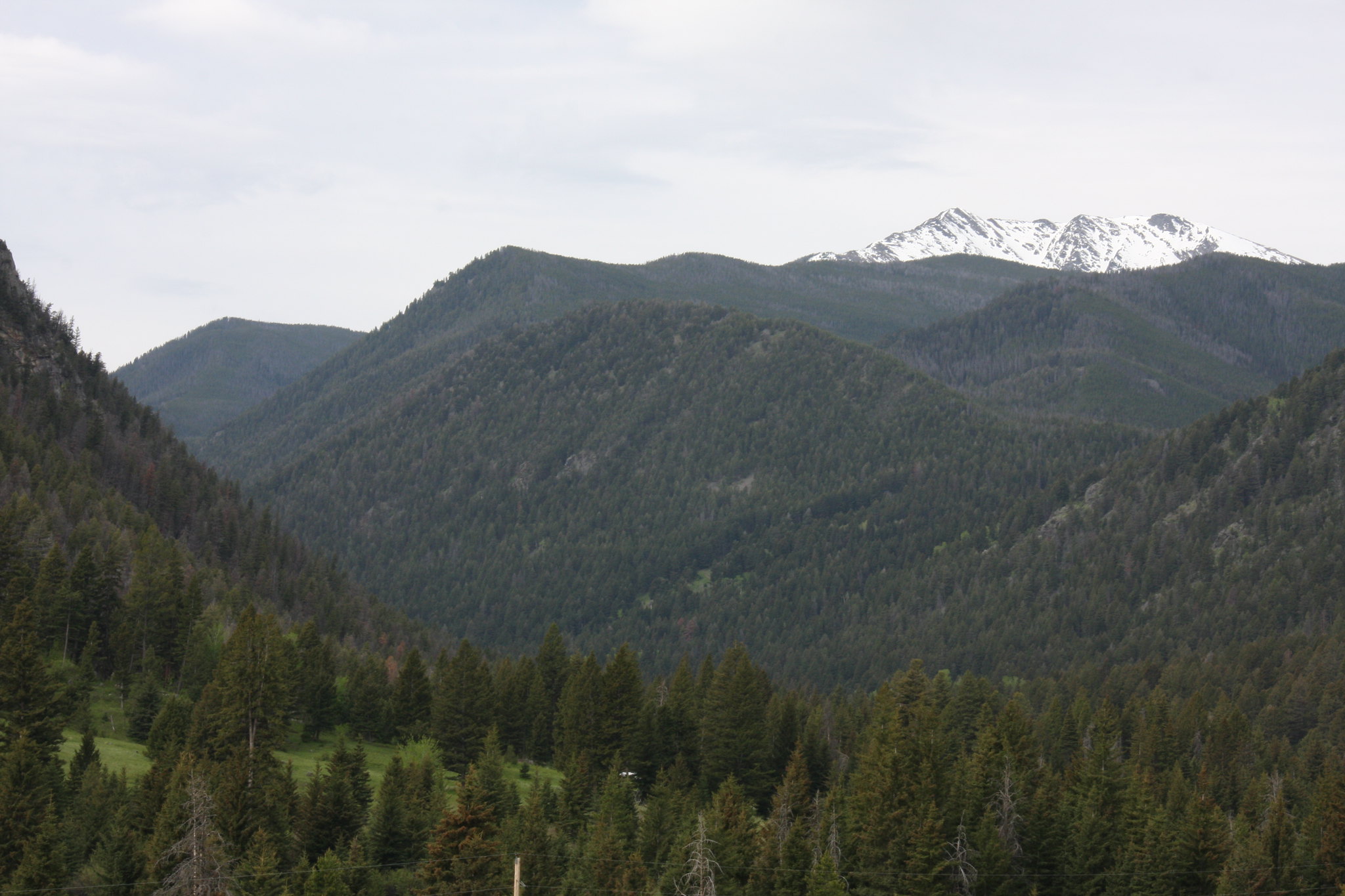
Middle Mountain from above Mammoth.

27407372796_ad5abd04cb_k.jpg


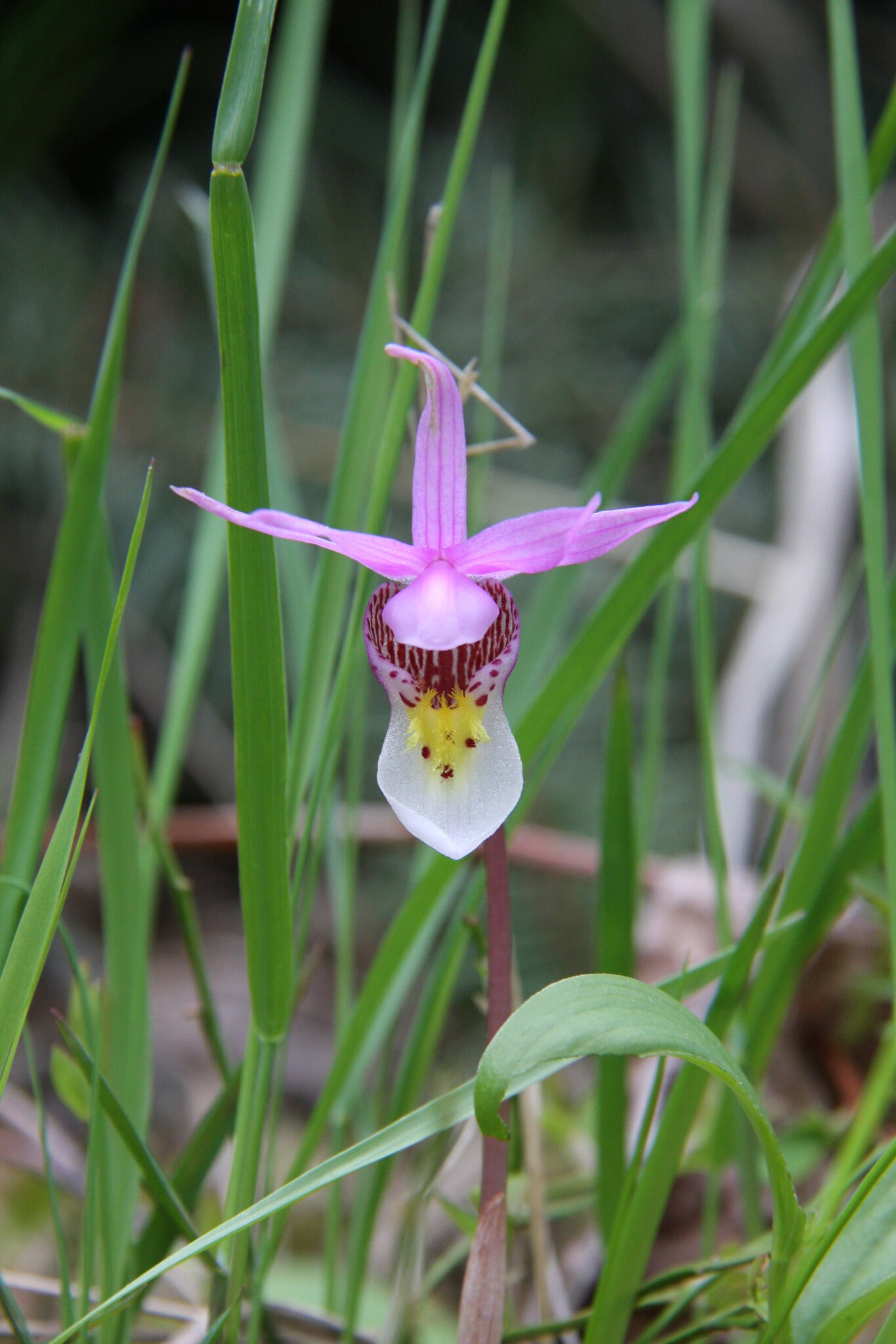
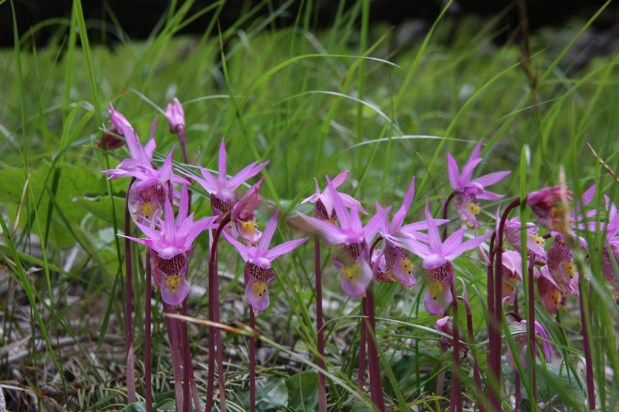
We hit the wildflowers near perfect. Calypso bulbosa.

27407368126_ddbe16cddd_k.jpg


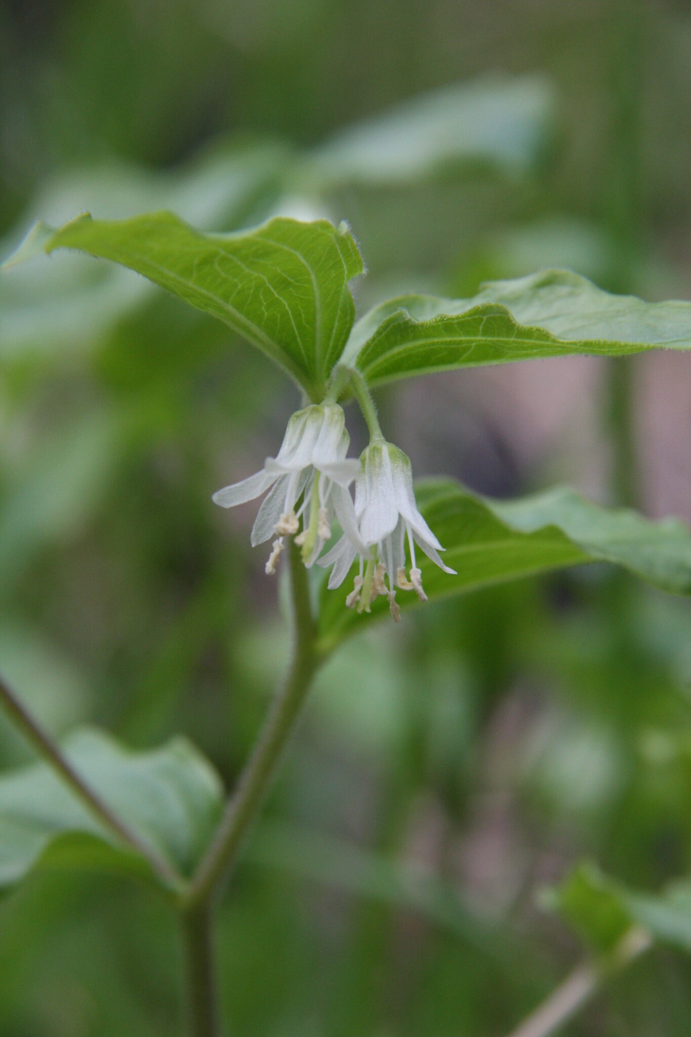
Fairbells-Disporum trachycarpum.

26832381144_027269918d_k.jpg


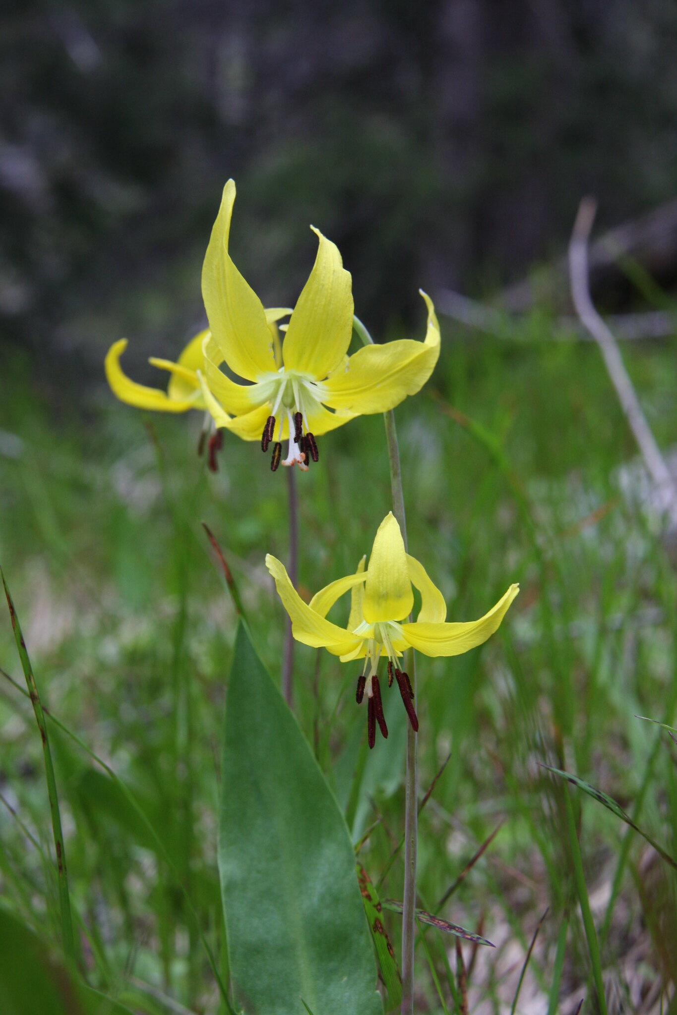
Glacier lily. Erythronium grandiflorum. In some places, the ground was totally covered with these.

26834198553_a010e44324_k.jpg


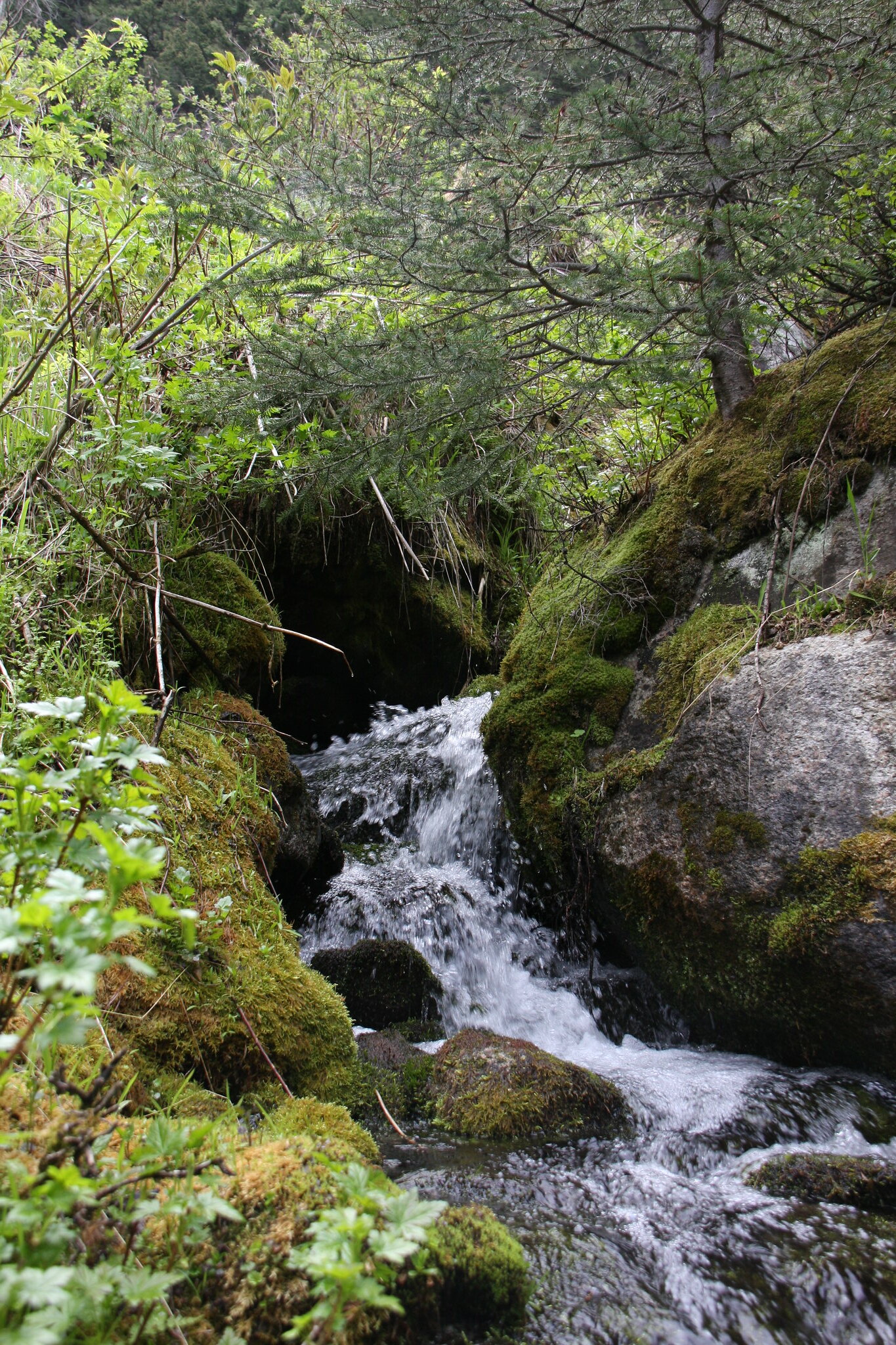
The stream downhill of the destination pond.
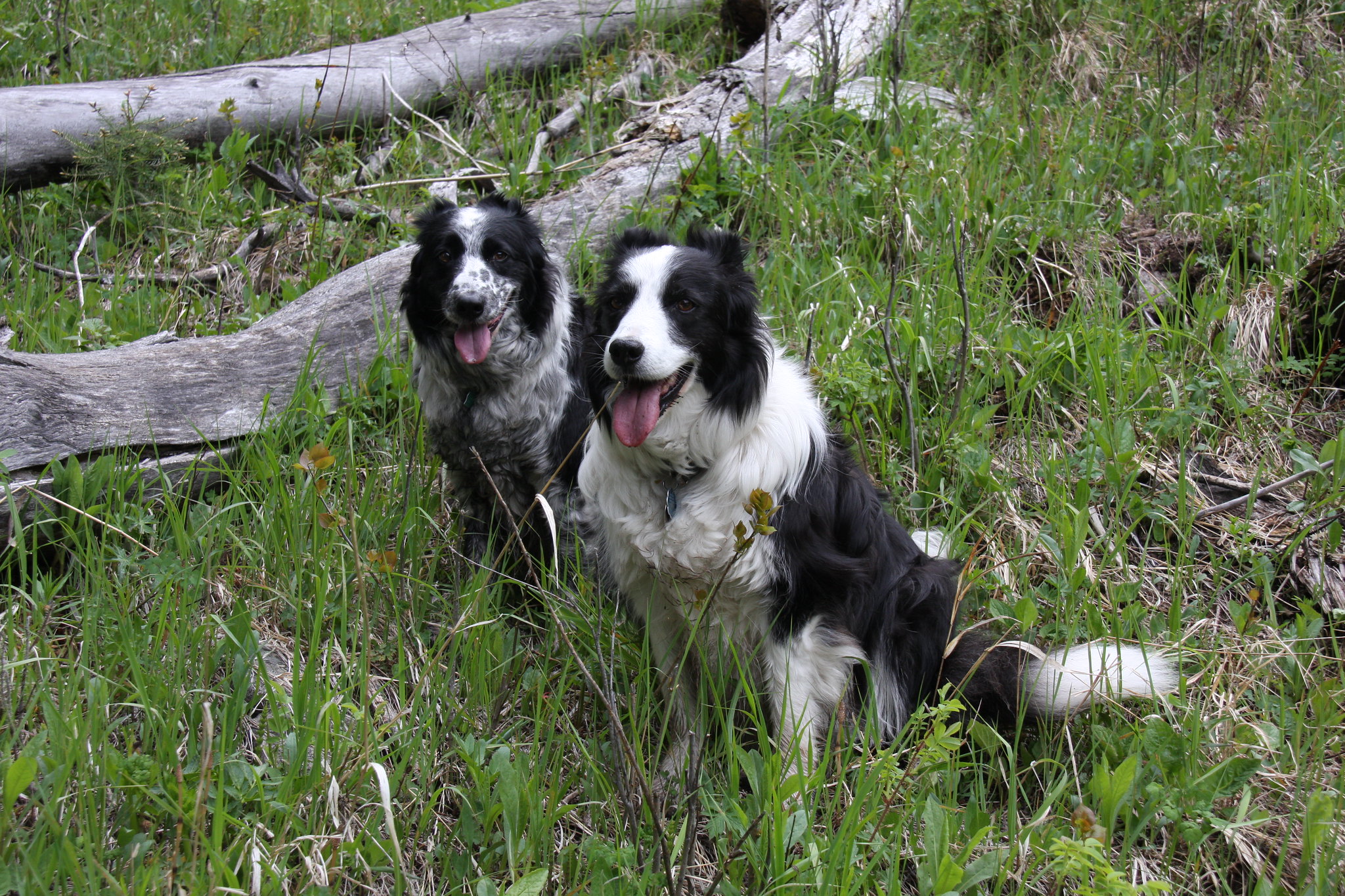
26832372004_5a3b751cc1_k.jpg


27369721081_c414b90673_k.jpg


The hiking buddies.

27369710731_9ad5abb654_k.jpg


View west across South Boulder River on hike to pond.
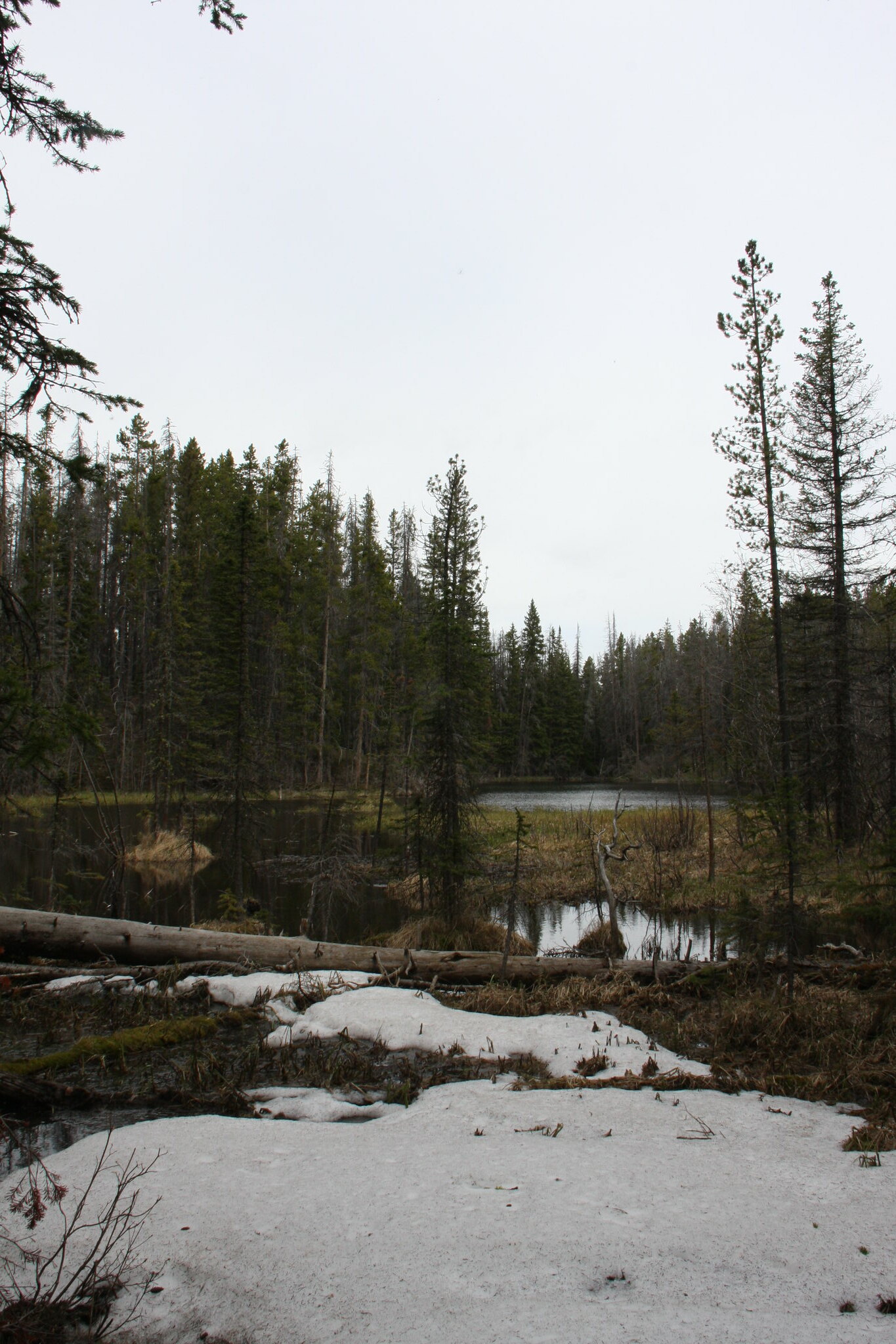
27164990700_34dda7706d_k.jpg


Pond outlet.

27164970020_88bc6bacc0_k.jpg


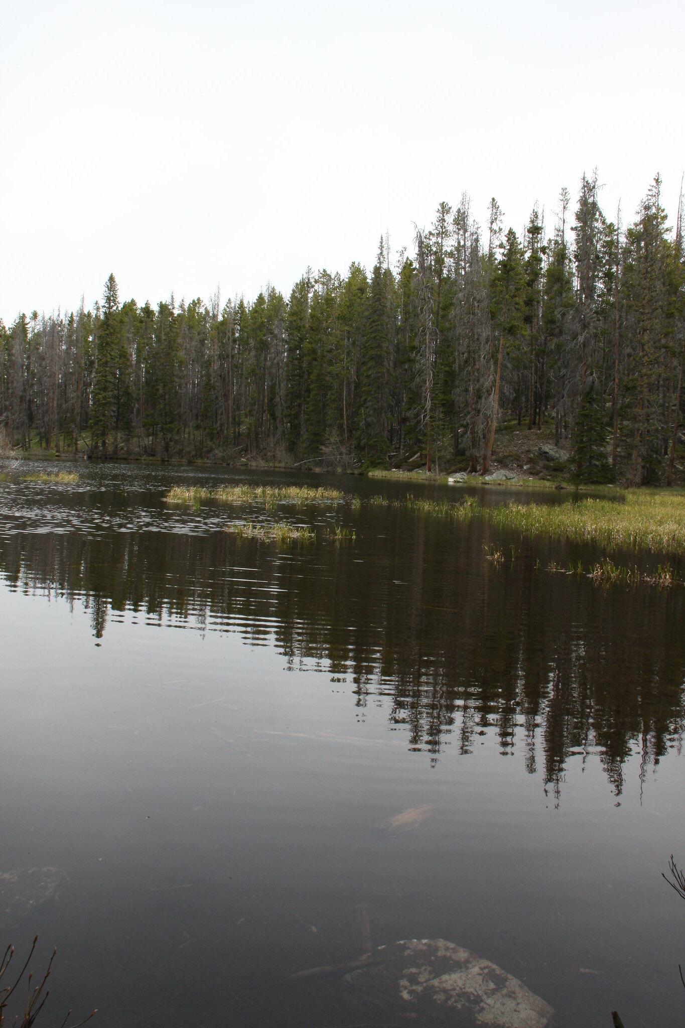
Pond. Alas, no fish but we didn't really expect any. However, it would seem sufficient to support a population of cuts and most certainly would support brookies.

27441568455_f1a0b98e2e_k.jpg


27342487812_8bbc558dbd_k.jpg


27342482252_4a665de4c2_k.jpg


Another view west across the valley.
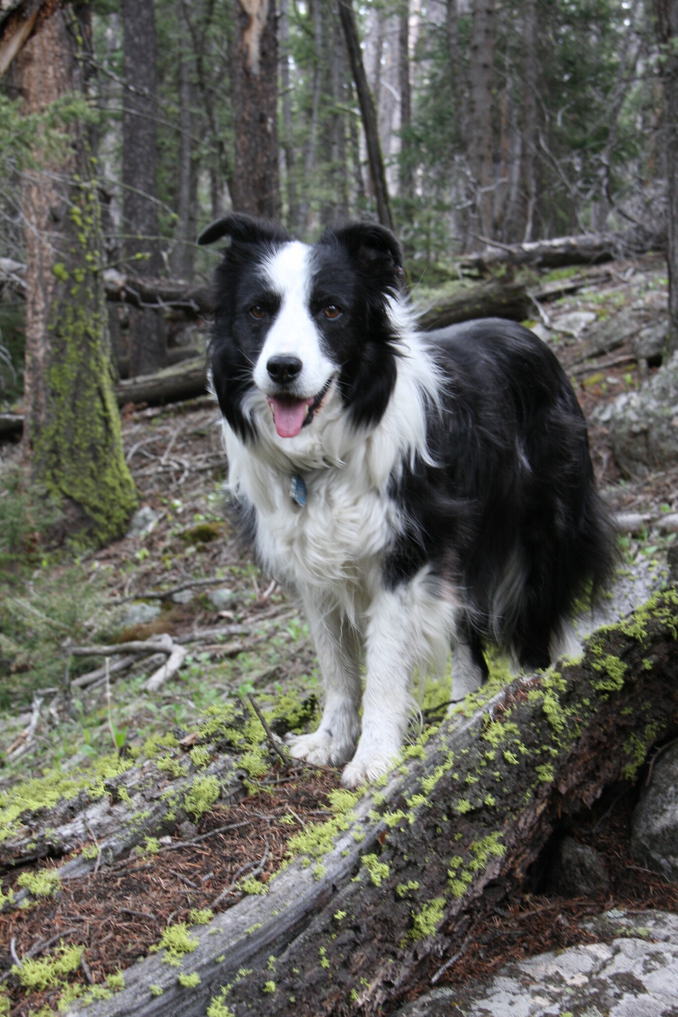
26832288484_189ae1975c_k.jpg


Missy.

27342470722_08507917d2_k.jpg


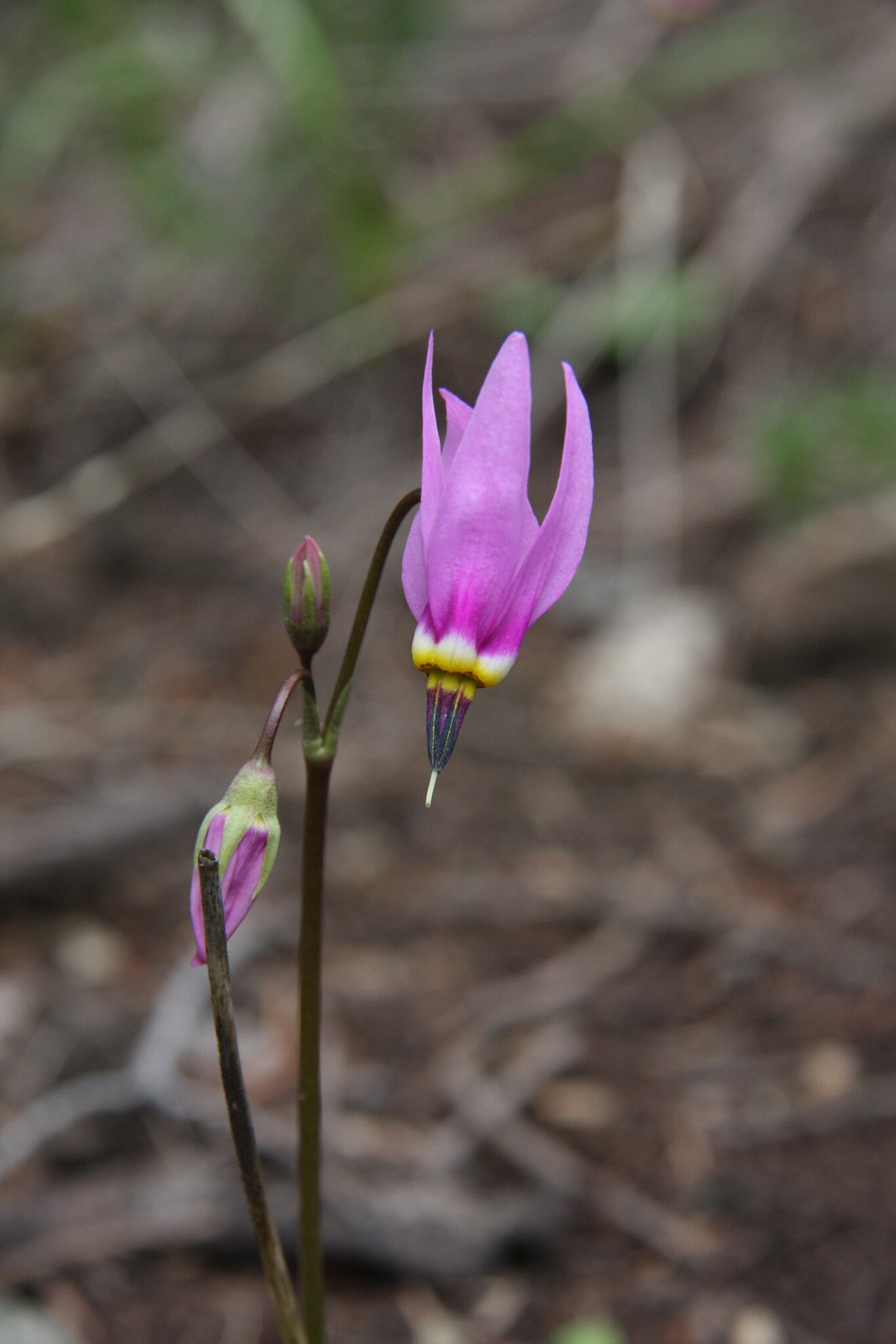
Shooting Star, probably Dodecatheon pulchellum.

27407297856_e557a4d831_k.jpg


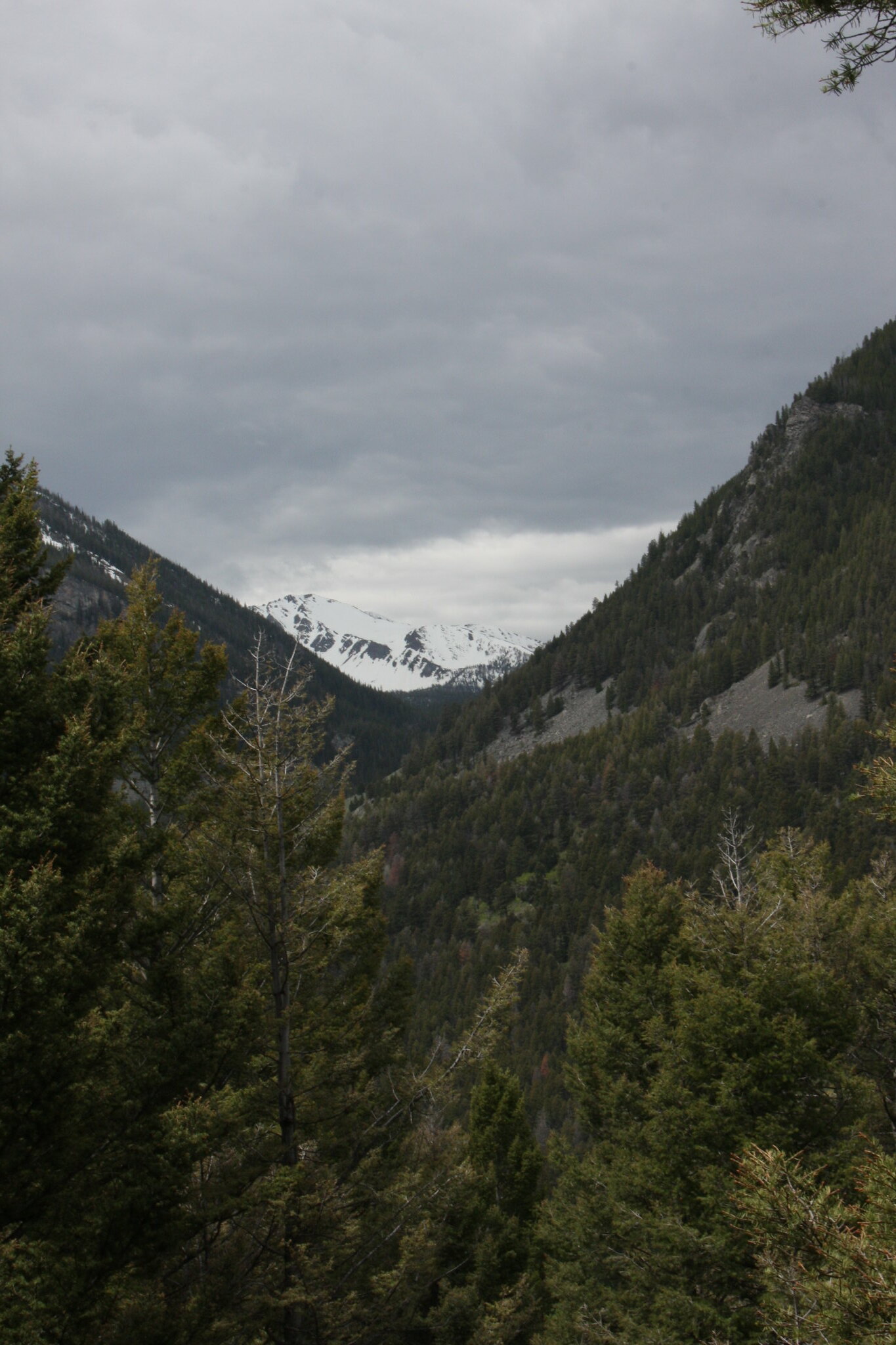
Looking southwest, probably part of Jackson and Lakeshore Mountains.

27342446712_2351e8483f_k.jpg


More Calypso.

27407275846_ee514886bc_k.jpg


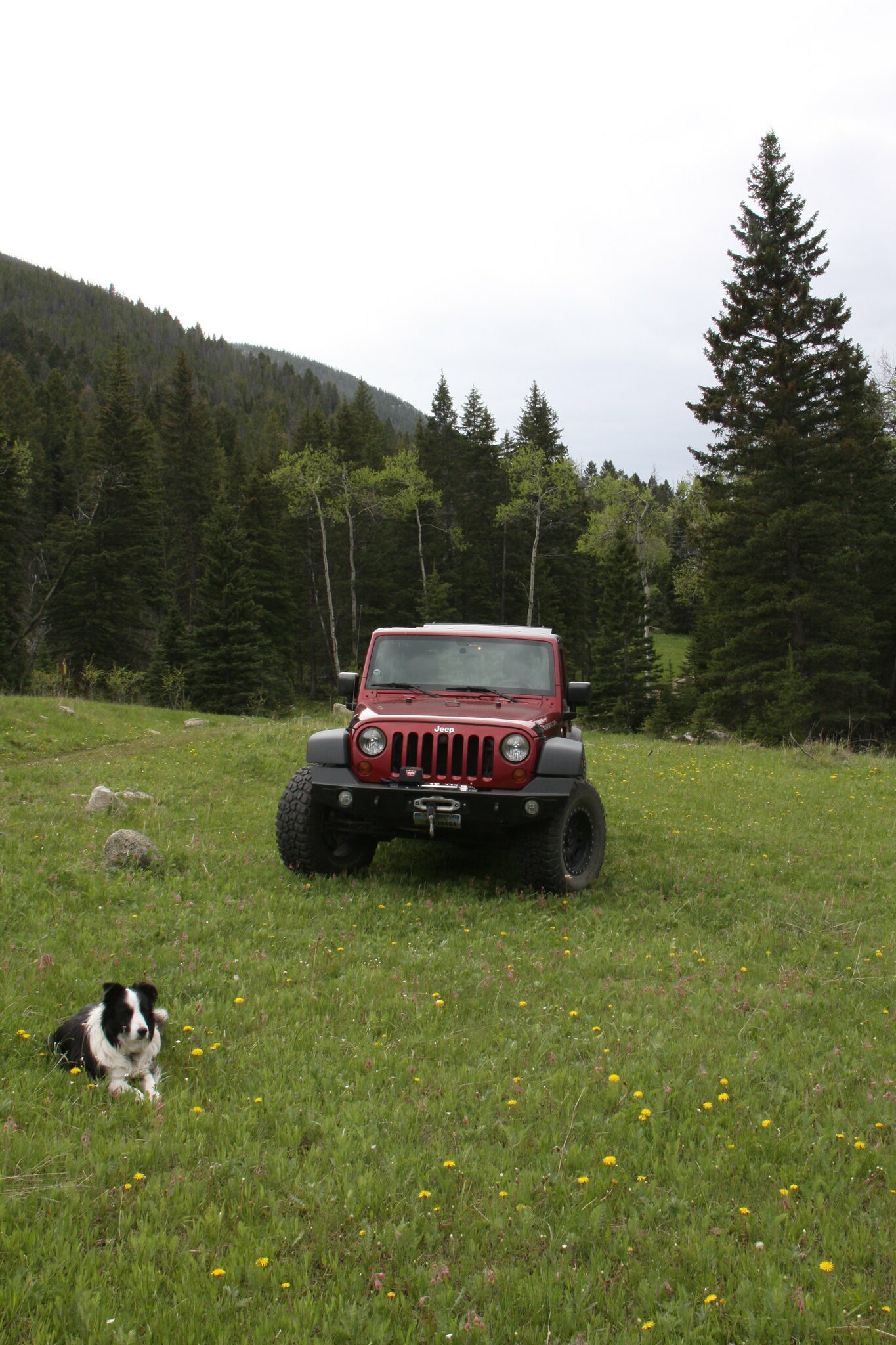
Back at FS 107 and the faux Jeep.

26832241184_3a1c93f80a_k.jpg


South Boulder River.

27407259846_0384ae5c96_k.jpg


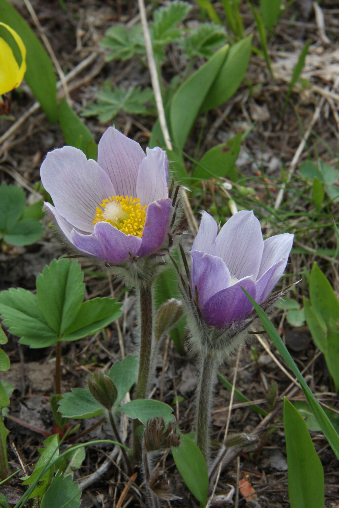
Pasqueflowers, Pulsatilla patens, near the trailhead for FS 7154.

26832234394_733159ae0b_k.jpg


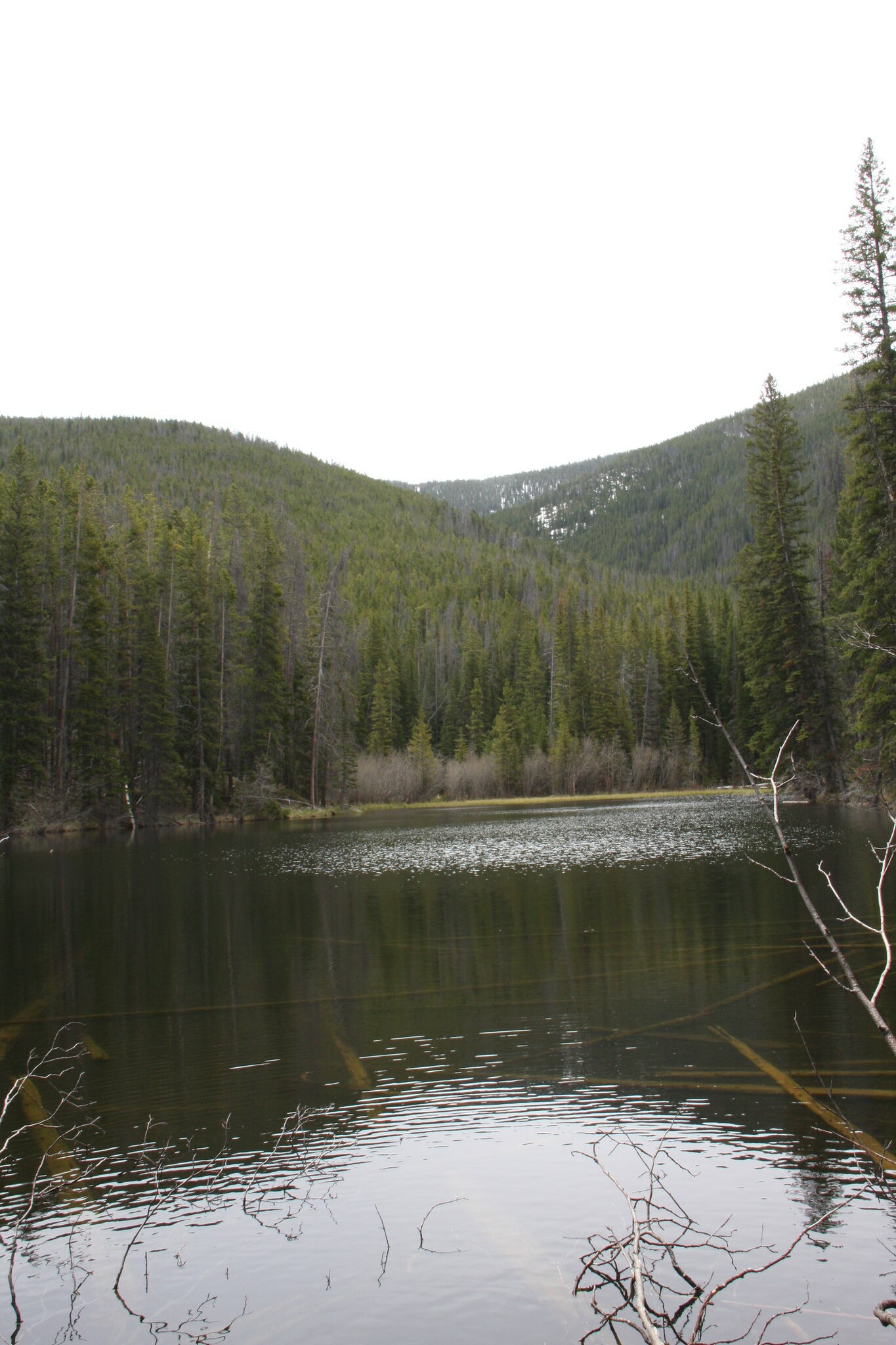
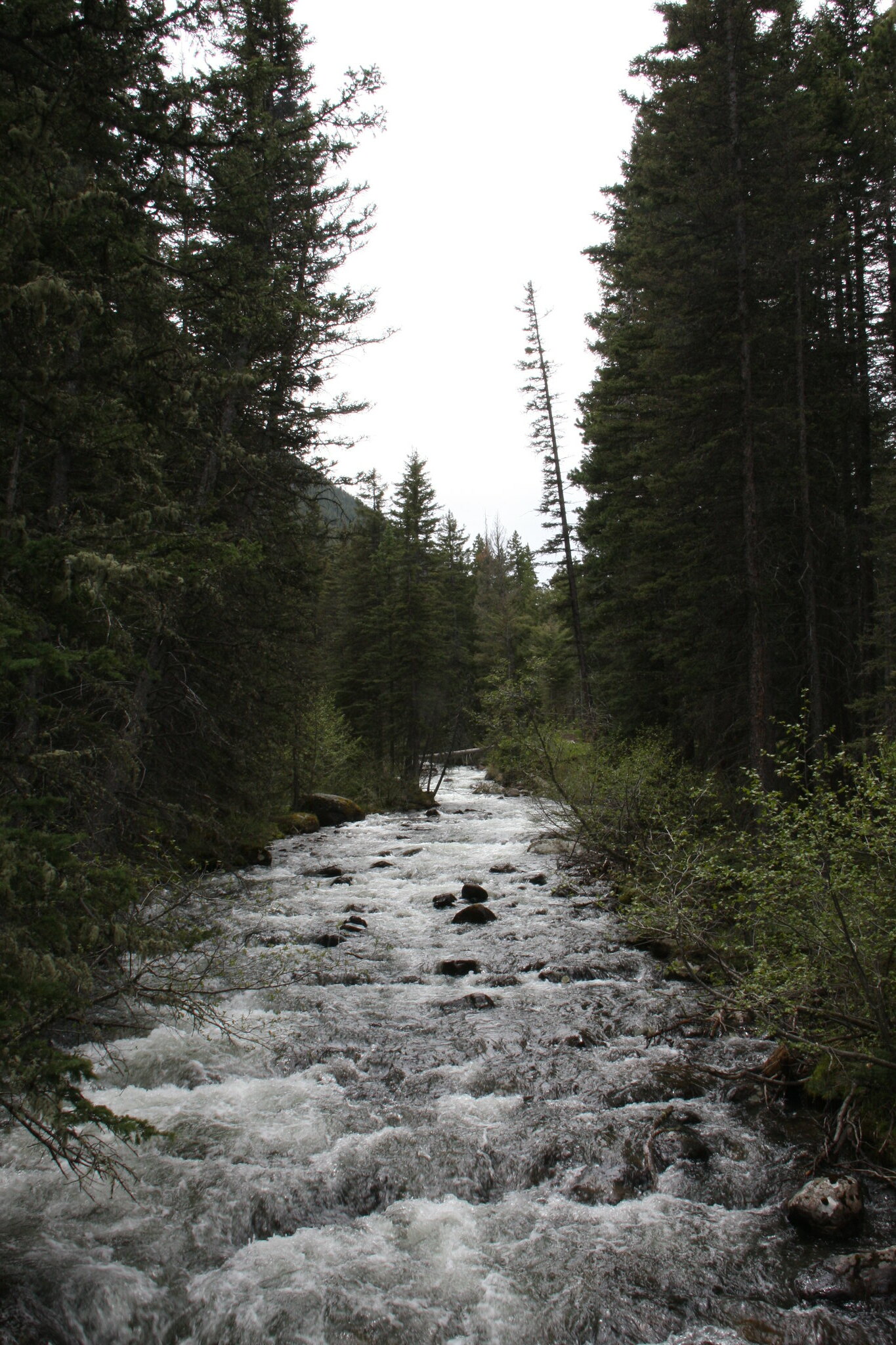
East Fork Boulder River.

27407245046_0287683f85_k.jpg


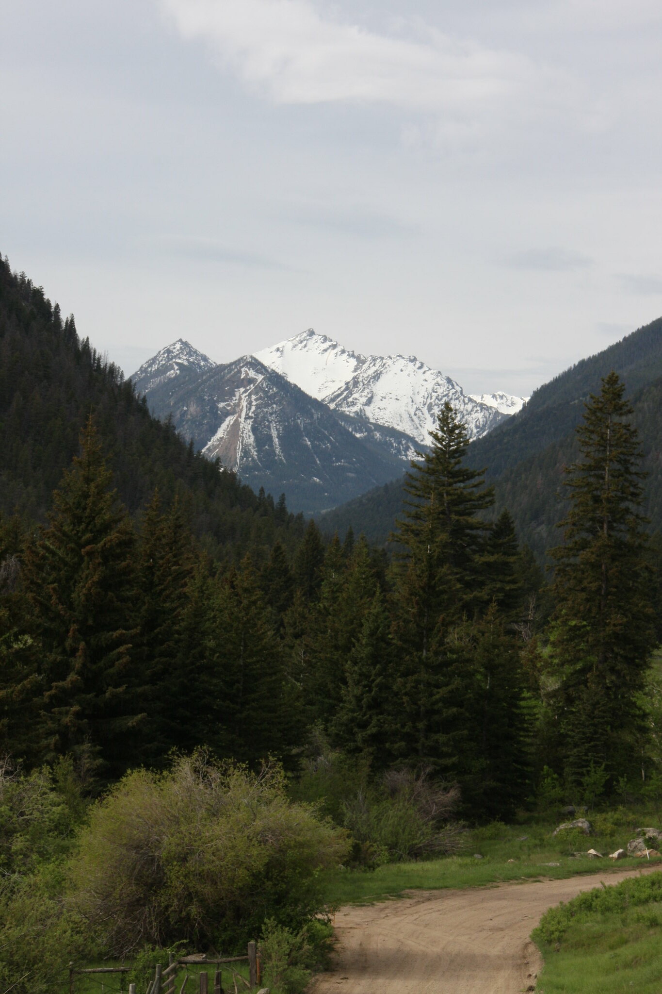
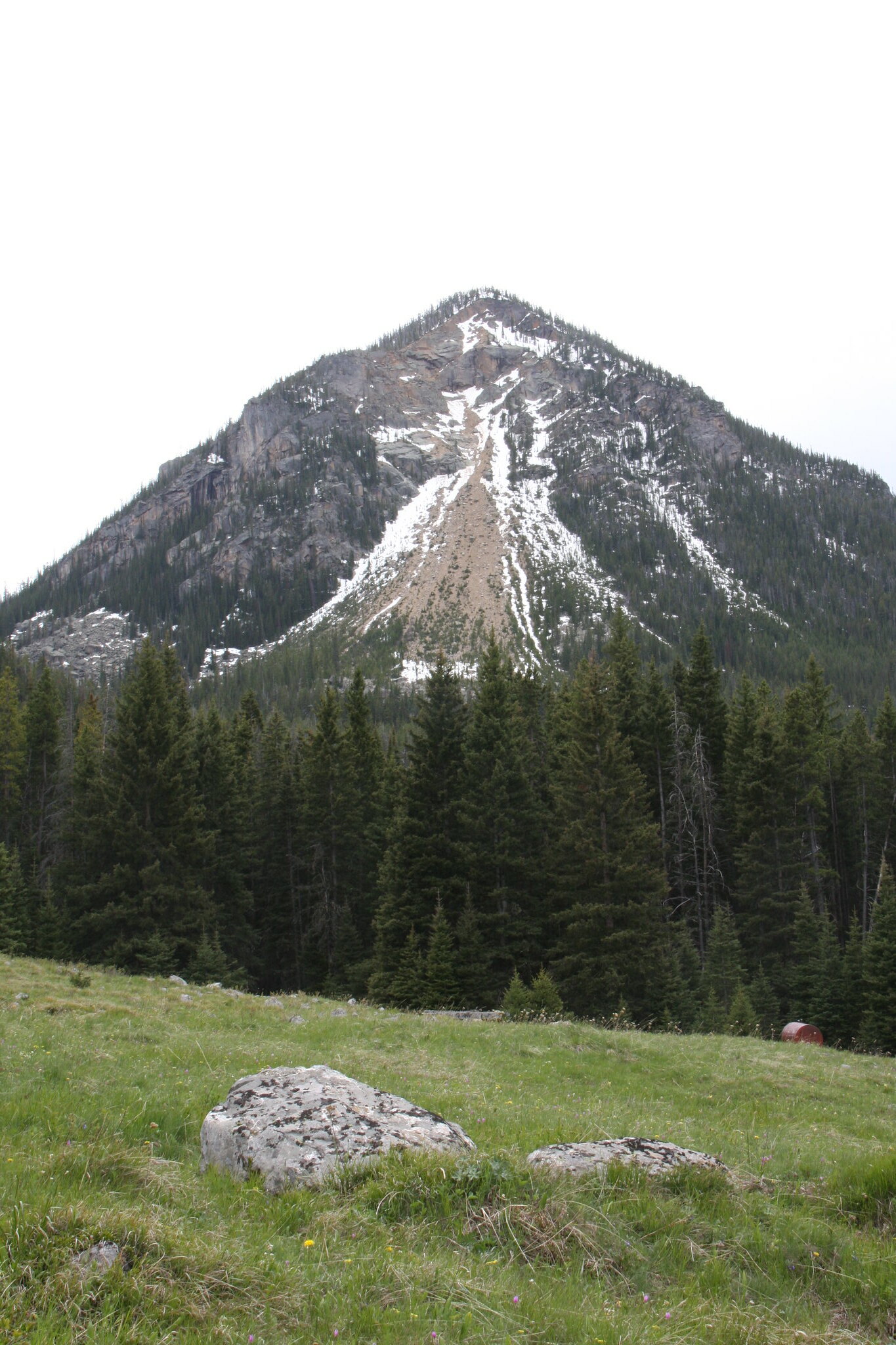
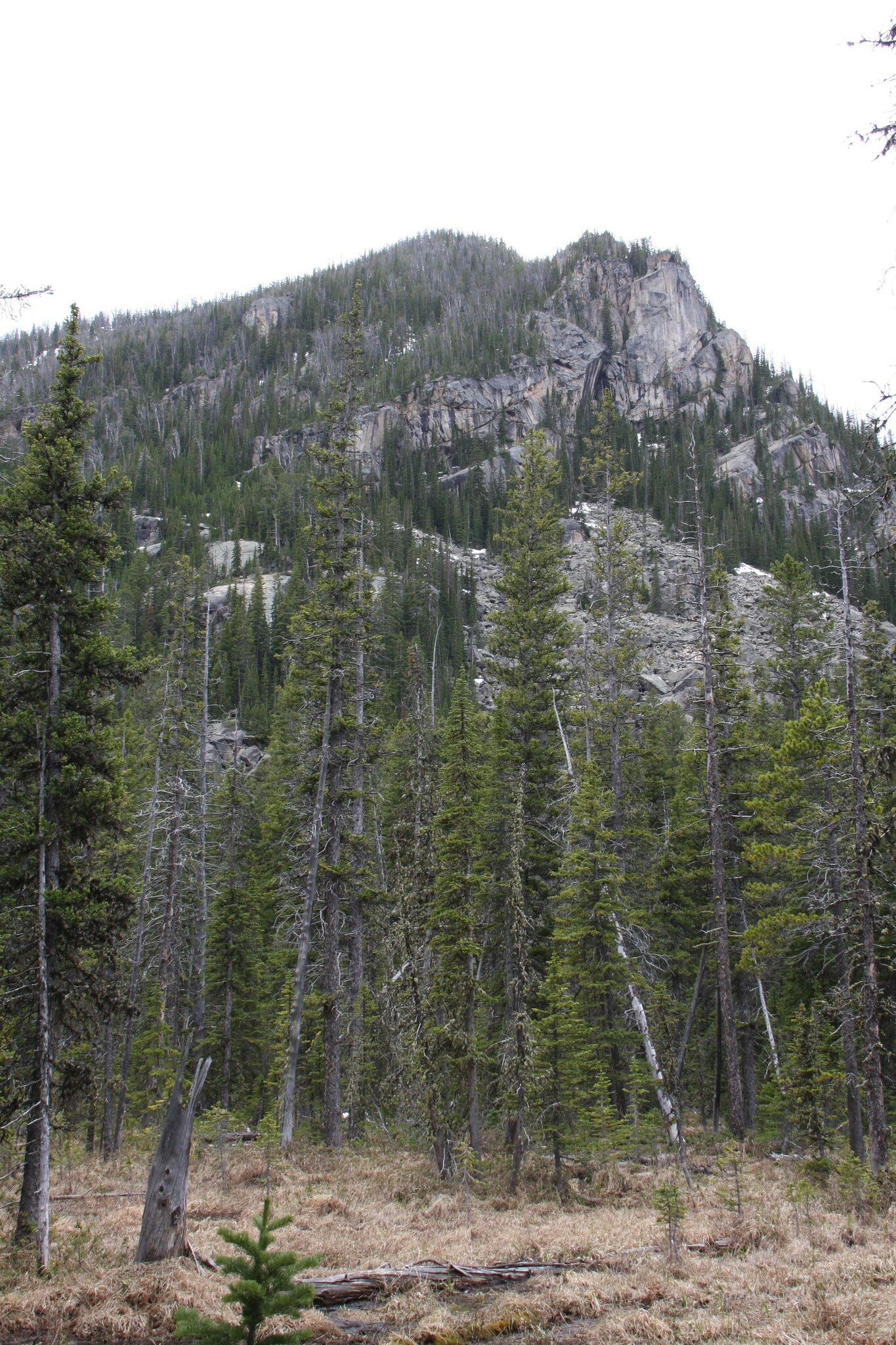
Some call this Blaze Mountain but officially, it isn't named.

26834079653_d3b4a7ea72_k.jpg


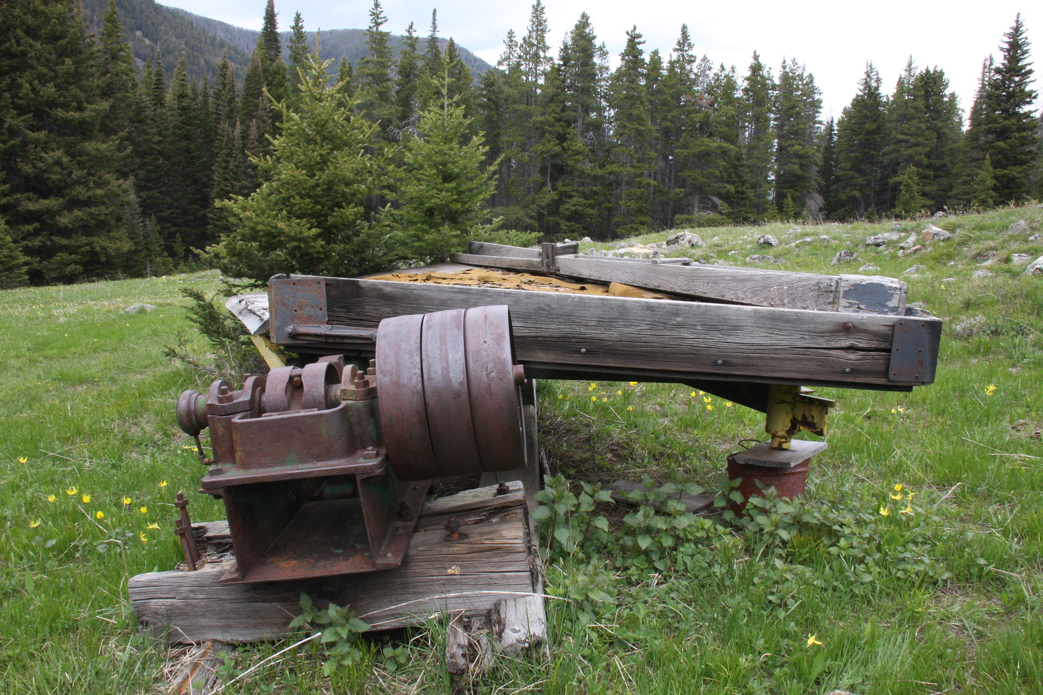
Home brew Wilfley table?

26834074083_812080103f_k.jpg


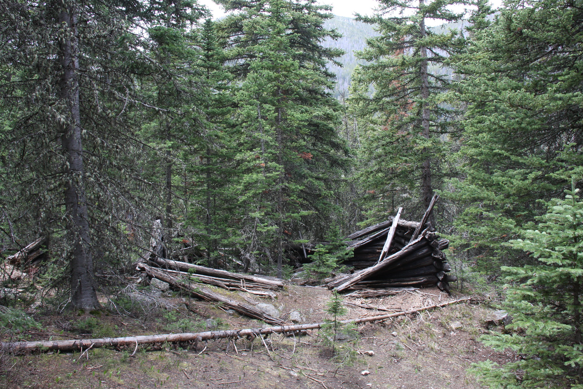
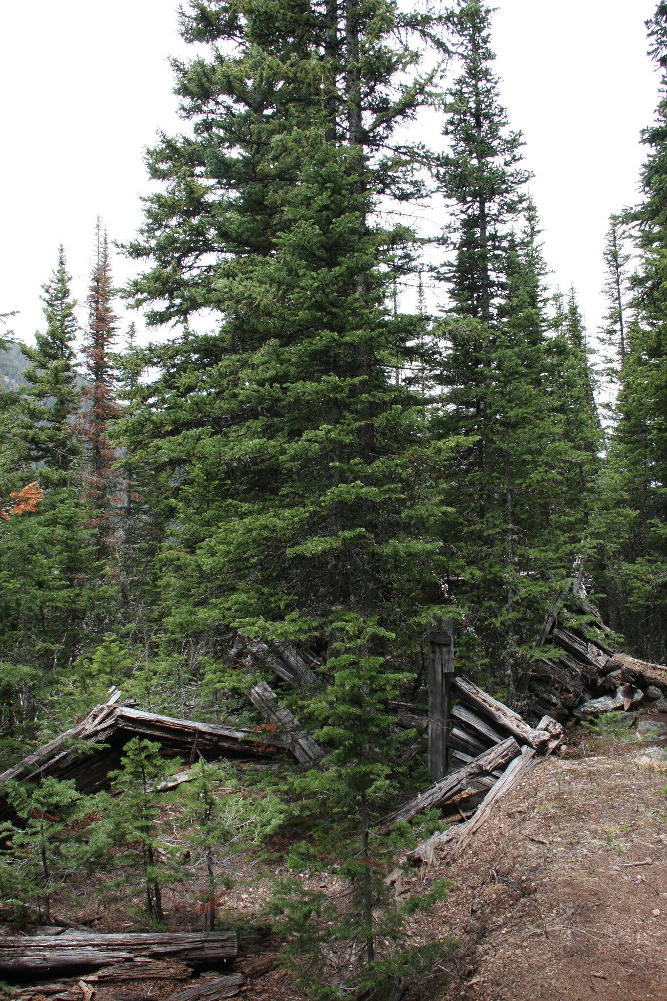
Remains of a miner's cabin.

27164859460_262c3efb65_k.jpg


26834057583_de0169d313_k.jpg


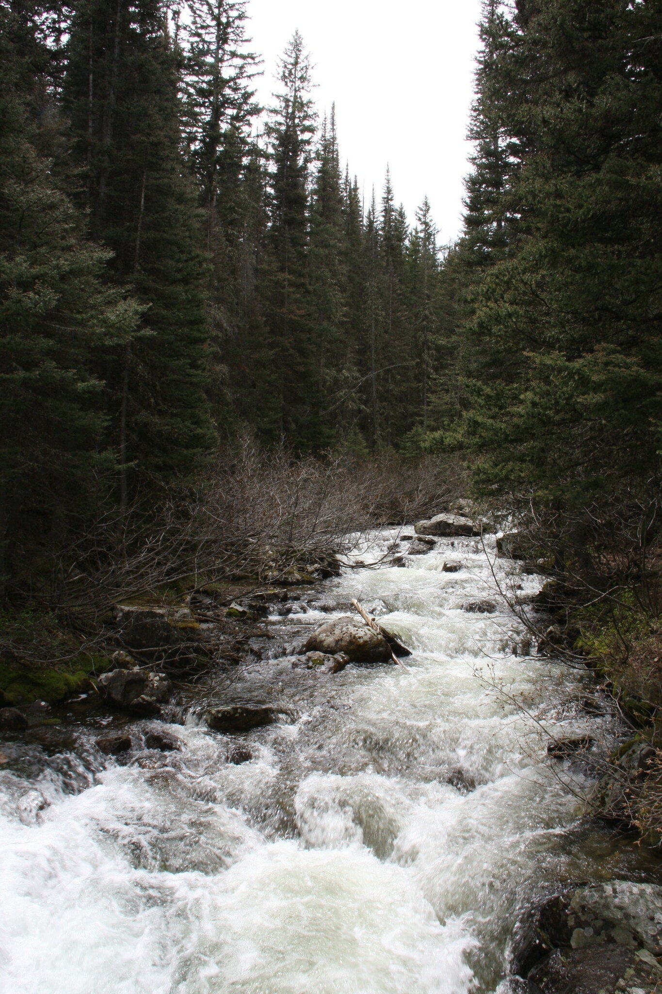
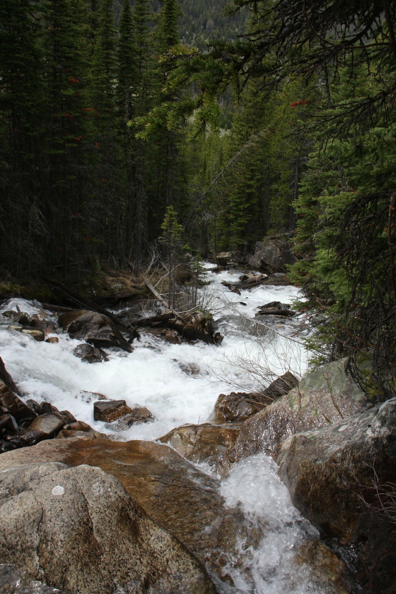
A very well aerated East Fork.

26832178194_0eca7c4a59_k.jpg


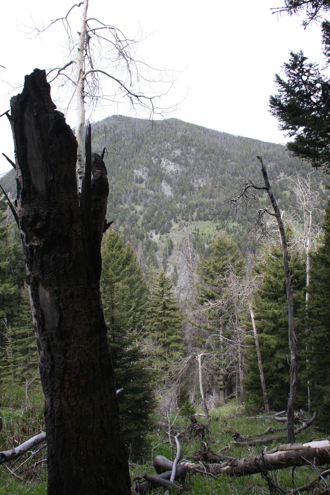
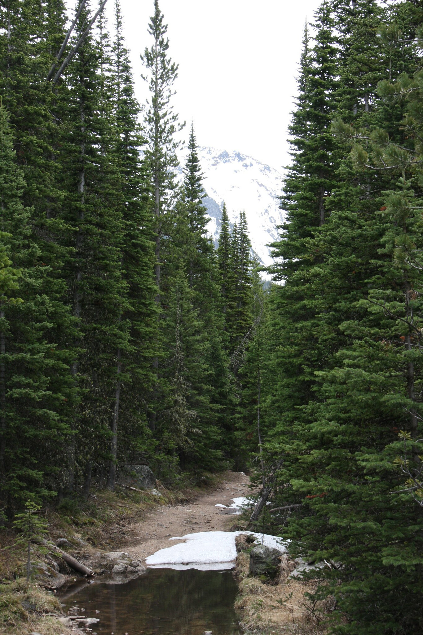
Looking west from 7154 above the first headwall. There were a lot of deadfall on the trail.

27369574861_9cf6001c21_k.jpg


FS Trail 7154 near the end of our hike at about 7,800'. The snow was totally rotten and we were getting wet feet even in the intermittent piles. Granite Peak (10,590') in background.

27369554071_7576efe37a_k.jpg
 
Great pics. The South Boulder drainage is my favorite area in the T-Roots.
 
1000' in 1/2 mile off trail is no joke. I consider anything more than 1000' in a mile to be pretty darn steep, and that's WITH a trail, so kudos to you John for getting up there. I love how off the beaten path, these reports are. How well are the forest service roads and trails maintained? Beautiful border collies. Also, why do you say "faux" jeep? Did you swap out the motor?
 
1000' in 1/2 mile off trail is no joke. I consider anything more than 1000' in a mile to be pretty darn steep, and that's WITH a trail, so kudos to you John for getting up there. I love how off the beaten path, these reports are. How well are the forest service roads and trails maintained? Beautiful border collies. Also, why do you say "faux" jeep? Did you swap out the motor?

That pond access was indeed steep. Probably will not be re-visiting it but had to see what it was like.

As you probably know, the Forest Service doesn't have money for much anything these days, including much trail maintenance. FS 7154 is going to need a couple days of chainsaw work before it's open to anything but foot traffic but I'm actually ok with the way it is. It is open to ATV's and motor bikes-they just need the chainsaws.

Faux Jeep? IMO, the last real one rolled off the Toledo assembly line in 1986. That said, the TJ's and JK's perform rather well off-road, especially the Rubicon versions. Are they ideal? Nope, come up short in a number of catagories. My biggest bitch is the 3.6L current engine-the only current option available. It plain sucks in the rocks because there isn't any torque available below 1,500-2,000 rpm and the lowest factory gear offering is 4.10 which isn't low enough for effectively using that engine. It would be the near perfect vehicle with a Chevy 5.3L and the matched NV4500 five speed transmission. And that will happen to ours when either the 3.6L or it's matching whimpy NSG (read No Significant Gear) 370 transmission bite the dust. Thankfully, there are several vendors now who offer the wiring package to make that happen. That swap will yield all the bottom end torque necessary along with a much better (both gearing and much stronger) transmission. And will no doubt add several miles/gal fuel economy.
 
Oh I see. I'm not really a mopar guy though I had an XJ years ago. I've heard of guys with wranglers swapping in Chevy, Ford, Crate v8 small blocks, so when you said "faux" jeep I thought maybe you were packing a v8 in that thing.
 
Oh I see. I'm not really a mopar guy though I had an XJ years ago. I've heard of guys with wranglers swapping in Chevy, Ford, Crate v8 small blocks, so when you said "faux" jeep I thought maybe you were packing a v8 in that thing.

The V8 swap is in my 55 Willys CJ 3B and although long road trips get old, generally a much more fun ride. And it gets better mileage.
 
Last week I saw ONE Calypso Orchid in Glacier and felt like I found a diamond. I love those things. I have only found them in a group like you had one time.
 
Great post! I'll have to try 7154. Looks quite do-able as a day hike from Helena. Last year I did 7089, 7151, and 7159 ( in/out from 107). Blowdown is terrible everywhere. I went up out of Elkhorn yesterday and took a long way back to avoid doing the tree stuff twice. On the other hand, a few trees keep the ATVs out for a while, so it's a little more peaceful. I pack a Katana and a bow saw, but bought a little Stihl after being stopped by a tree that was too big to cut by hand or pull with the Jeep.

I really like my '15 JKUHR, but I agree that a little more power/torque would be nice, even with the 4.10s. After the winch, tons of gear, and the 18" 35s, it's a little weak! My wife's an orchid freak.
 
Similar threads
Thread starter Title Forum Replies Date
Kullaberg63 Suggestions for Escalante east of river, south of Choprock Trip Planning 4
Timber High Sierra - North Lake to South Lake Loop - Layover Day Trip Planning 9
J South Crandall Creek and the Hoodoos Wyoming and Yellowstone? Trip Planning 3
RockyMntCol Trip Planning Younts Peak / South Fork Yellowstone Trip Planning 12
F Thorofare/South Boundary/Wolverine Creek Trip Planning 2
balzaccom South America Everything Else 1
BobFink Yellowstone South Entrance to Fox Creek via Basin Creek Cutoff - Labor Day 2022 Trip Reports 4
scatman South Ridge of City Creek Canyon - January 28, 2023 Hiking & Camping 4
SteveR Coyote Buttes South- New Daily Permit Process Trip Planning 8
wsp_scott Big South Fork Bikepacking Backpacking 1
S Driving to poverty flats (South Coyote Buttes) on AWD Trip Planning 11
P Yellowstone--Heart Lake to South Entrance Backpacking 13
John Goering Tobacco Root Mountains South Meadow Creek Off Road 1
BJett Big South Fork National River & Recreation Area Packraft/Backpack Loop (TN) Backpacking 6
balzaccom South by Southwest from Napa Hiking & Camping 4
Janice Vermillion Cliffs Trip - Part 2 - White Pocket & Coyote Buttes South Hiking & Camping 7
Janice The Wave - and SO MUCH MORE! (Coyote Buttes North, South, White Pocket, Buckskin, Condors, Bighorns...) - Part 1 Hiking & Camping 14
dhertbag Camping at Cottonwood Cove - Coyote Buttes South Trip Planning 11
wsp_scott Honey Creek (Big South Fork) Backpacking 9
Chuck the Mauler Sierra North Lake / South Lake "loop" questions Trip Planning 10
wsp_scott Big South Fork Views Backpacking 14
S Conejos - South San Juan Wilderness Backpacking 2
Jammer Sequoia: Upper Kern and Lake South America Backpacking 12
kwc Chimney Mountain, South Central Adirondacks Hiking & Camping 3
kwc Hiking in the South Central Adirondacks Hiking & Camping 1
I Water in Frisky Creek south of Highway 12 in the Grand Staircase? Trip Planning 0
K Floating down South Fork of the Snake (ID) Trip Planning 1
regehr Dirty Devil South Trip Reports 14
Nick Coyote Buttes South - Jan 18, 2020 Trip Planning 1
TrailScot Quite the Adventure, South of Moab, Across the Colorado Plateau, May 2019 - Part 4 Backpacking 17
TrailScot Quite the Adventure, South of Moab, Across the Colorado Plateau, May 2019 - Part 3 Backpacking 8
TrailScot Quite the Adventure - South of Moab, Across the Colorado Plateau, May 2019 - Part 2 Backpacking 14
TrailScot Quite the Adventure - South of Moab, Across the Colorado Plateau, May 2019 - Part 1 Backpacking 10
regehr south waterpocket fold backpack Trip Planning 27
Titans Prescribed burn South Monroe Mountain- photos from Capitol Reef area Photography 0
Chuck the Mauler North Lake - South Lake questions Trip Planning 4
tropicalwanderer YNP : 8/31-9/7 : Heart Lake to Nine Mile via CDT, South Boundary and Thorofare Trip Planning 9
LarryBoy Going South this Weekend? Meet Up (Members Only) 4
I Zion-South Utah Spring Break - March 9th-March 14th Trip Planning 15
Born to Hike Windriver 36 mile loop: Skull Lake, Washakie Pass, South Fork Lakes, Lizard Head Trail, The Cirque, Big Sandy Lake Backpacking 6
D South Coyote Buttes. We are going to put in at Lone Tree Reservoir because we don't have 4wd but we want to make it to White Pocket. Trip Planning 30
WasatchWill South Draw Loop Off Road 3
fossana South Guardian Angel (Zion NP, UT) Hiking & Camping 3
balzaccom South Lake Blew us away Backpacking 4
Wanderlust073 South Colony Lakes overnight Backpacking 9
Perry Old South Skyline Trail - Ogden Canyon Trip Planning 1
pixie1339 White Pocket, South Coyote Buttes Advice Trip Planning 11
KevinBoyer South Lake to North Lake Sierra Nevada Trip Planning 4
Jackson South Guardian Angel Hiking & Camping 12
Curt Badlands National Park, South Dakota Backpacking 14

Similar threads

Back
Top