Solitude in the Uintas -- Gilbert Lake Loop

Joined
Sep 16, 2018
Messages
18
August 21-28, 2018

This was my first trip to the Uinta Mountains. I had looked at the guidebook and read descriptions of Henry's Fork, Red Castle, Granddaddy Basin, etc. and they all looked and sounded splendid, both I ultimately decided I wanted a route that would offer more solitude. I settled on a seven-day loop hike beginning and ending at Hoop Lake that connected Gibert Lake to Gilbert Creek Basin via a high cross-country route. The route is shown here.

I got the solitude I wanted. A saw a group of horsemen within an hour of leaving the trailhead on day one, and after that did not see another person until after I had finished my hike seven days later. It helped that I was off trail at least half the time, and went at the end of August when much of Utah seems to be back in school.

Temps were ideal. Highs around 60, lows around 40 all week.

Day 1

I started my hike at the Hoop Lake trailhead around 4 PM. My compact car made the trip just fine. This is an unusual trailhead in that there is no designated parking for hikers as far as I could tell. I had to just find a spot to park my car and hope I didn't get ticketed. I didn't. And there is no fee for hikers. I hiked about 3 miles to Burnt Ridge and camped. It started raining heavily, with lightning and brief hail, about halfway there and continued for most of the night.
 
Day 2

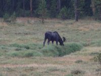
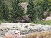
Today I had a fairly short hike to Beaver Lake. I was able to follow the trail the entire way, but not without some difficulty. Had to backtrack a couple of times after losing the trail, and there was a lot of blowdown to negotiate. Made it to Beaver Lake midafternoon where I set up camp and it soon started to rain. Sat under a tree and watched a moose for over an hour. The rain intensified and continued for most of the night.
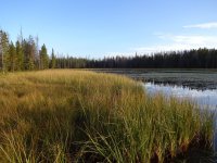
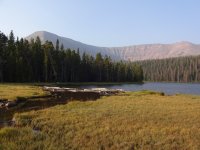
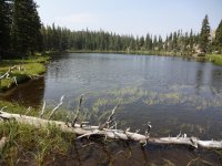
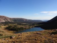
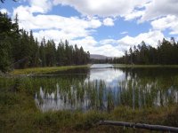
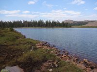
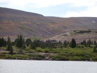
Lake at Burnt Ridge

DSC02025.JPG

Thompson Peak

DSC02030.JPG

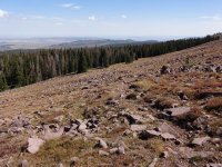
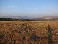
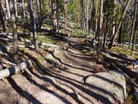
Nice views from the trail

DSC02037.JPG

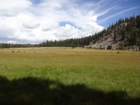
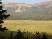
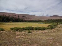
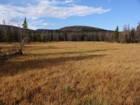
Corral Meadows

DSC02041.JPG

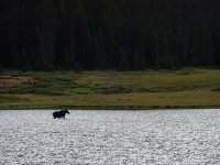
Moose in the rain (it did the full body shake a couple of times)

DSC02049.JPG
 
Day 3

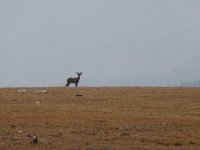
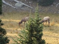
Today's goal was to get from Beaver Lake to Gilbert Lake. I opted for a cross-country route that left Beaver Lake heading due west, through a beautiful soggy meadow, up onto a high shelf above tree line, descending to Lake 10930, and continuing westward to Gilbert Lake. There was a well-worn trail the last mile to Gilbert Lake. I camped on the south side of the lake, and watched an elk sipping from the shore as twilight faded.

Beaver Lake in the morning

DSC02050.JPG

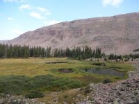
Meadow west of Beaver Lake, ascent route in the distance (nice game trail at the top)

DSC02051.JPG

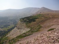
Up above treeline. There was major haze today but still had some nice sights.

DSC02057.JPGDSC02059.JPG

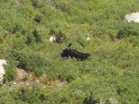
Unsuspecting moose from above

DSC02063.JPG

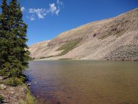
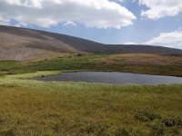
Lake 10930 where I took a lunch break and a brief dip.

DSC02072.JPG
 
Last edited:
Day 4

Today was an unintended rest today. I think the altitude caught up with me, but whatever the reason, I slept poorly and was totally exhausted to start the day. I had planned to attempt climbing Gilbert Peak. It's a shame too, because yesterday's haze was gone and the skies were crystal blue. I've never taken a rest day before on a backpacking trip, and thought I would find it boring, but ended up having no trouble passing the time. Gilbert Lake had a lot to do with that, it's a beautiful spot. My only activity for the day was a hike around the lake. At dusk I watched a moose grazing in the lake, and there was a great sunset.

View from camp in the morning

DSC02080.JPG

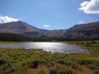
Gilbert Lake and Peak

DSC02086.JPG

Another day, another moose.

DSC02095.JPG

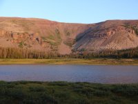
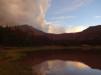
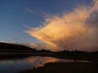
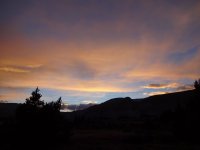
Best sunset of the week

DSC02099.JPGDSC02109.JPG
 
Day 5

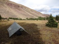
I set off at 7 AM heading south from Gilbert Lake, and made my way over the Uinta crest to Gilbert Creek Basin. The climb up to the crest is not bad at all if you take the right line (read most gradual slope), and there was frequent water the whole way. Saw three more moose and an elk on the climb. Once up high, the walking is very easy and satisfying. My climb down into Gilbert Creek Basin was more strenuous as I climbed down a talus-filled notch. Down in Gilbert Creek Basin, there are elk everywhere and it's rather windy. Good campsites are rare but I managed to find a decent one, the biggest challenge being finding an 8 x 10 patch devoid of elk droppings.

Looking back on Lake 11033

DSC02115.JPG

and Lake 11295.

DSC02120.JPG

Approaching the crest.

DSC02128.JPG

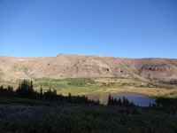
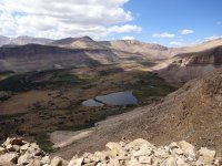
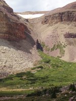
Overlook of Gilbert Creek Basin

DSC02138.JPG

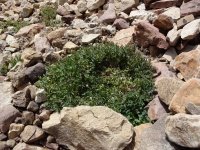
While climbing down the notch I saw a small white mountain goat resting in this bush. It ran off before I could photograph it.

DSC02143.JPG

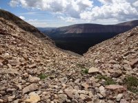
The downclimb. There are a couple of pouroffs that must be bypassed on the left. The talus is a bit loose in places so this route is not for the faint of heart.

DSC02145.JPG

This shows a possible alternate route down, note the funky fin in the middle. Looks more gradual than my route but longer.

DSC02153.JPG

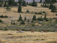
Curious youngsters got pretty close to me. Mama was more cautious.

DSC02155.JPGDSC02156.JPGDSC02160.JPGDSC02162.JPG
 
Last edited:
Day 6

After a 2 hour day hike of the upper portion of the basin, I headed through the trees toward Verlie Lake where I stopped for lunch and a brief swim. The only sane way to approach Verlie Lake is from the west, all other directions are talus field. This meant I could not continue cross-country to the Rainbow Lake area, and instead had to drop down to the highline trail, which I followed brielfy before passing through Kidney Lakes and on to Davis Lakes where I camped for the night.
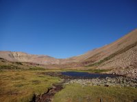
Upper Gilbert Creek Basin

DSC02166.JPGDSC02169.JPG

Lake 11124

DSC02179.JPG

Verlie Lake

DSC02182.JPG

Approaching Davis Lakes

DSC02184.JPG
 
Last edited:
Day 7

Plan A was to climb South and North Burro Peaks and descend to Kabell Lakes via Thomson pass. Unfortunately the haze had returned and by 7:30 clouds were already moving in. So I opted for Plan B which was a lower route past Samuels Lake, Dime Lake, over Divide Pass and following the trail past Island Lake down to Kabell Meadows.

King's Peak is there somewhere in the haze.


DSC02189.JPG

Approaching Samuels Lake.

DSC02193.JPG

Samuels Lake

DSC02200.JPG

Climbing out of Samuels Lake area

DSC02202.JPG

Pass between Samuels and Dime Lakes.

DSC02203.JPG

Lake 10832, just above Dime Lake.

DSC02207.JPG

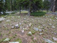
This shows a typical cross country route through the forest, along a game trail. Easy!

DSC02208.JPG

Near Divide Pass

DSC02215.JPG

Descent from Divide Pass, had to wait 5 minutes for this dude to clear out.
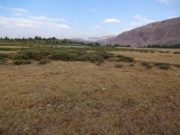
DSC02218.JPG
 
Last edited:
Day 8

Kabell Meadows back to my car at Hoop Lake, 4.5 miles, out by 10 am. There is a tremendous amount of blowdown along this section and someone has worked very hard to keep the way clear for horses, but there were still 4-5 trees blocking the trail in various places.
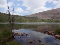
DSC02226.JPG
 
Some thoughts on my route.

Overall I would recommend this route to anyone seeking 4-7 days of solitude. The only thing I would have done differently would be to avoid dropping down to Gilbert Creek Basin. The climb down is challenging for one, and to get out you are forced to choose between hiking a talus field or the highline trail. Instead, I would have just spent an hour soaking in views of the basin from above, and then proceeded to Rainbow lake. The drop down to Rainbow Lake from the crest is gentle, seen hear from one of the Wilderness Lakes.

DSC02185.JPG

With my extra day I would have explored the upper reaches of the Rainbow Lake basin.

The other obvious tweak to this loop would be to use the Middle or West Beaver trailheads. That could save a day if desired.

Except for my climb down in to Gilbert Creek Basin, off-trail travel was not particularly challenging, but it was very rewarding. Your hiking times are slower because of route finding, not necessarily because of the terrain.

I hope this report gives people some ideas for getting away from the more popular areas. For anyone seeking more detail, here is a link to the Flickr album for this trip.

DRS
 
Last edited:
I'm always on the lookout for solitude, so I really appreciate your TR and map. I've never seen so many moose from someone's TR in the Uintas - that speaks for itself of the lack of the Homo sapien variety. Thanks again!
 
Didn't see this the first tume... but wow! Cool trip and great report! Got me thinking about that section of ridge...
 
Thanks for sharing! Glad you found that solitude! Seeing more animals than humans sounds like a good trip!
 
Similar threads
Thread starter Title Forum Replies Date
Born to Hike Mountain Solitude: Reconnaissance Lake, High Uintas, early Sept 2019 Backpacking 9
balzaccom Mok Canyon Solitude for my birthday Backpacking 0
F Balancing Urban Life with wilderness Solitude Noobs: Introduce yourself! 1
Ross Permit places available for a Cape Solitude/Comanche Pt Grand Canyon backpack (+Canaan Mountain) Meet Up (Members Only) 0
Ross Invite Lake Powell canyons(Iceberg,Davis,Willow)or Cape Solitude/Canaan Mtn Meet Up (Members Only) 1
Ross Anyone for Lake Powell canyons (Iceberg,Davis,Willow/Cape Solitude/Canaan Mtn Trip Planning 0
Bryan Harwood Cloud Peak Wilderness: Paintrock/Solitude Trail/Cloud Peak- June '15 Backpacking 5
Ross Help/Invite:Cape Solitude at rim of Colorado & Little Colorado confluence Trip Planning 0
uinta_eagle Solitude at Farney Lake Backpacking 8
Tarp Boy Looking for Shuttle service for Uintas Granddaddy basin trip Trip Planning 0
2eez4life Suggestions: Uintas Backpacking with some rock climbing routes Trip Planning 0
regehr (Uintas) Lake Fork Fun Backpacking 8
scatman Reid's Peak - Uintas - July 22, 2023 Hiking & Camping 6
Upgrayedd Uintas Conditions 2023 Trip Planning 39
NorthwestWanderer First time in the High Uintas | Red Castle SNEAK Loop | I give these mountains 5 out of 5 stars Backpacking 7
2eez4life Uintas Conditions 2022 Trip Planning 18
regehr Uintas this weekend? Trip Planning 4
2eez4life 4 days 3 nights in the Uintas Trip Planning 9
6 Uintas Trip Planning Trip Planning 5
Perry Sunrise/Sunset Uintas Marriage Proposal Location Suggestions Trip Planning 25
N Gilbert Meadows- High Uintas Trip Planning 0
Upgrayedd Uintas Conditions 2021 Trip Planning 9
WasatchWill The High Uintas 4-4-4: Four Basins, Four Passes, Four Days Backpacking 20
C High Uintas Wilderness - Last minute plans Trip Planning 4
Mountain Wanderer High Uintas Wilderness - Granddaddy Basin Backpacking 4
scatman Bourbon Lake, Uintas - July 11, 2020 Hiking & Camping 4
ridings82 Uintas Backpacking Loop Trip Reports 12
Upgrayedd Uintas Conditions 2020 Trip Planning 69
B Uintas question Hiking & Camping 3
Tarp Boy Uintas in late June? Trip Planning 10
Ehouston24 Uintas Loop (Red Castle/Kings Peak) Trip Planning 14
DrNed Plan B to High Uintas Backpacking Trip Planning 20
J Uintas Conditions 2019 Trip Planning 209
DrNed Recommendation for 35-45 Mile Route in the Uintas Trip Planning 7
Yvonne A weekend in the Uintas Hiking & Camping 10
WasatchWill 5 Guys on a Trail: A Tour of the Southwestern Uintas Backpacking 12
wabenho Rainbow Lake, Uintas - September 2018 Backpacking 6
jdfut66 Uintas - Priord Lake to Deadhorse Lake Loop Backpacking 6
Born to Hike Clements Lake and East Basin in the High Uintas, mid-July 2018 Backpacking 6
TrektheWorld Need help with Uintas trip - camping Trip Planning 8
Perry Missing hiker in Uintas - Ray Humpherys General Discussion 104
Mike K Uintas Three Nighter Backpacking 13
LarryBoy In Which I Forget Sunscreen (Uintas 2015) Backpacking 11
Brian Handsaker Uintas Backpacking (or Montana) Trip Planning 9
Dave Uintas Conditions 2018 General Discussion 210
Uncle_Dim October in the Uintas Trip Planning 2
Perry Late Season Uintas Day Hike Ideas. Bear River to WFBF and Back? Trip Planning 13
r3biker Backpacking trip to Clyde lake in Uintas Backpacking 8
WasatchWill An Intro to the Uintas Hiking & Camping 2
TClark Uintas - Erickson Basin Aug. 3-5 2017 Backpacking 4

Similar threads

Back
Top