Udink
Still right here.
- Joined
- Jan 17, 2012
- Messages
- 1,748
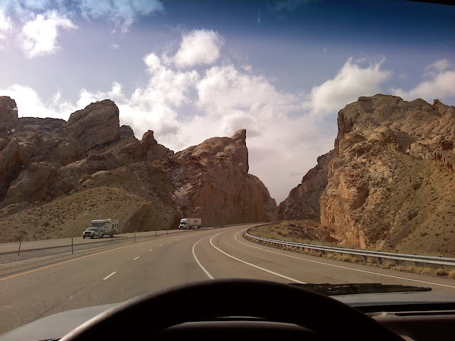
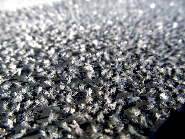
This year's semi-annual San Rafael geocaching/camping trip had a cold start. Dave got to Price shortly before I was off work on Tuesday. I loaded a few last-minute things into the trailer and, despite the high winds, we drove south pulling our camp trailers into the heart of the Swell. There was a headwind as we made the long pull up Spotted Wolf Canyon, but I managed to do between 45 and 55 MPH. Not having Traci's ATV on-board probably helped with that. We pulled into our planned camp spot just off exit 131 near the Wickiup and found an older (1990s) Cadillac parked next to a tent there. When I asked, the camp's occupant, Dan, said he was planning on being there for the rest of the month. Not wanting to crash his party, Dave and I drove a few hundred feet away and found another spot, though Dan followed like a lost puppy and ended up spending a lot of time with our group through the weekend. For dinner Dave provided some jalapeños filled with cream cheese and wrapped in bacon, and I grilled that along with some kielbasa and whole jalapeños. We enjoyed that wonderful dinner with some salad that Dave brought, topped with jalapeño ranch dressing. The temperature got into the mid-teens that night, and it was 26° in my trailer when I awoke at 7AM on Wednesday morning. I slept fitfully during the night because the covers kept sliding off my head and the cold woke me several times. I remedied that the next night by wearing a hat to bed. Everything outside had a thick layer of frost on it and mine and Dave's trailers' water lines had frozen solid.
Starting the long pull up Spotted Wolf Canyon
Ice crystals on the truck Wednesday morning
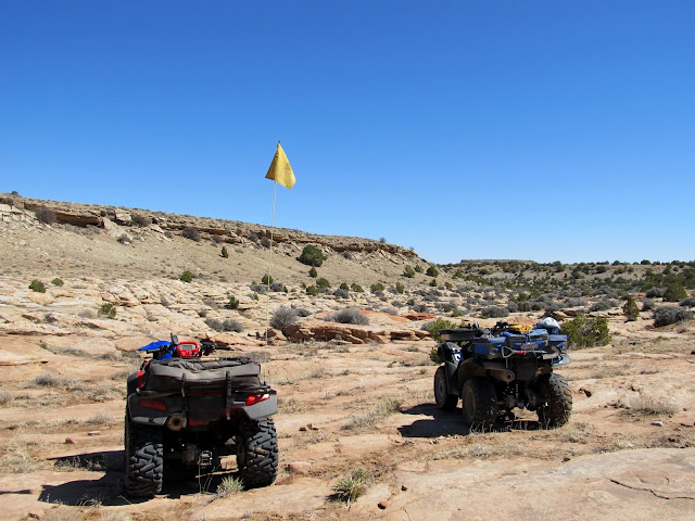
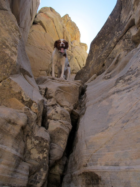
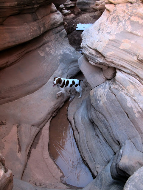
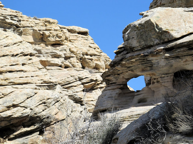
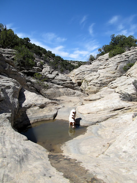
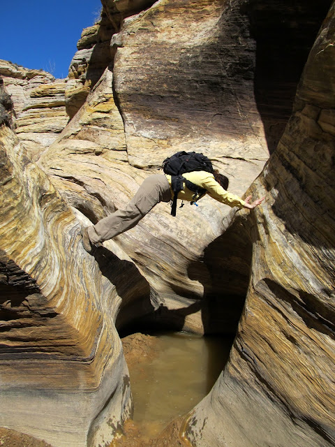
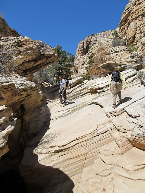
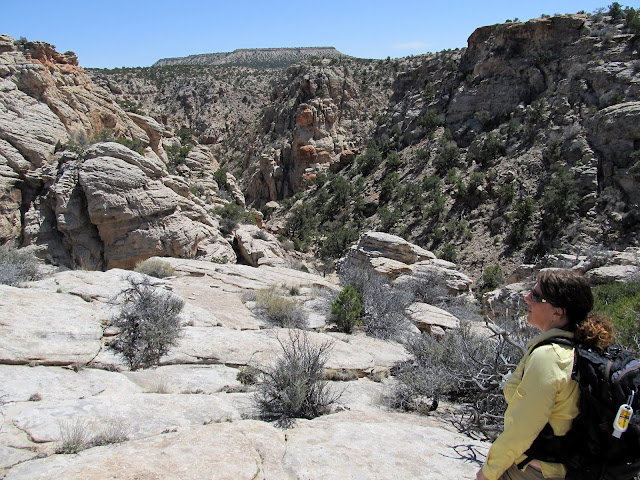
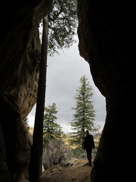
After we ate breakfast and warmed up a little, Dave and I went for an ATV ride to check out the water situation in the slot section of Reid Neilson Draw just before it meets up with Crawford Draw. I was hoping to bring the group there on Saturday for a hike, but the canyon tends to hold a lot of water after it rains/snows. It was a cold ride and we stopped a few times on the short eight mile trip to warm up. Dave, who had knee-replacement surgery after Thanksgiving last year, waited at the rim of the canyon while Torrey and I climbed down inside and hiked a little. I only made it a third of a mile down-canyon before encountering a too-deep pool of water. It appeared possible to scramble out of the canyon and follow the rim in order to descend back in below the pool, but I didn't explore further. I decided if we had warmer weather on Saturday that I'd take the group there and we'd just deal with any obstacles we encountered. We returned to camp after noon and the water lines had thawed sufficiently. One other couple arrived that afternoon, and most of the rest of the group showed up on Thursday.
ATVs parked at the start of the slot in Reid Neilson Draw (just before its confluence with Crawford Draw)
Reid Neilson Draw where Torrey and I scrambled down into the canyon
Reid Neilson Draw
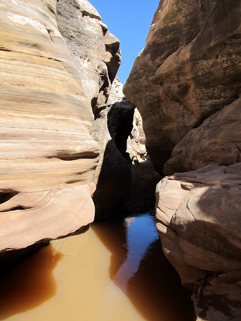
Reid Neilson Draw
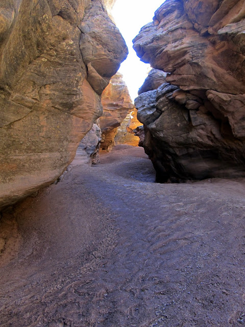
Reid Neilson Draw
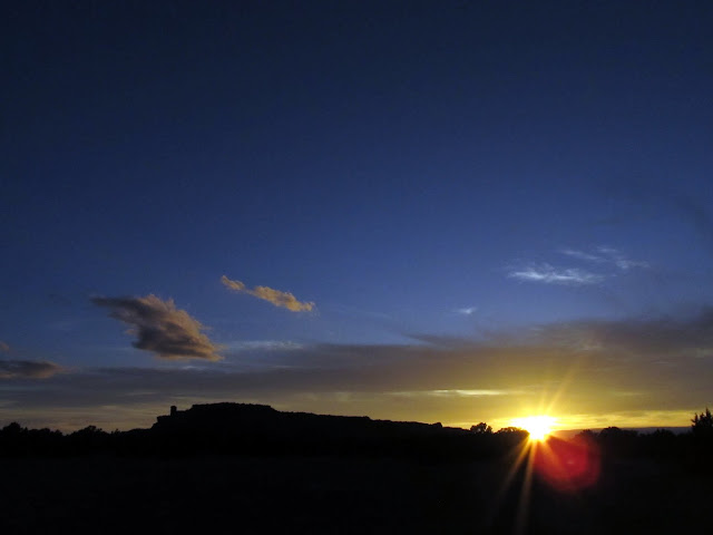
Sunset on Wednesday

Sunset on Wednesday
I took off alone on Thursday and explored northeast of Locomotive Point. I'd heard about some old cowboy names carved in the cliffs there but I got sidetracked and didn't get close enough to search them out. Instead, I rode my ATV slowly searching for rock art near the road, then did a little hiking at the base of some cliffs above Horseshoe Bend. In the early evening I also rode to upper Straight Wash and did some hiking in the wash searching for arrowheads, since I know of two people who have found them in that area while geocaching the Heart of the Desert series. I found all 20 geocaches in the series five years ago, but I didn't have "the eye" for arrowheads then. I came up blank this time, too. Traci and the kids got to camp shortly before I returned and we had a pretty relaxed evening around the fire.
Near the head of Reid Neilson Draw
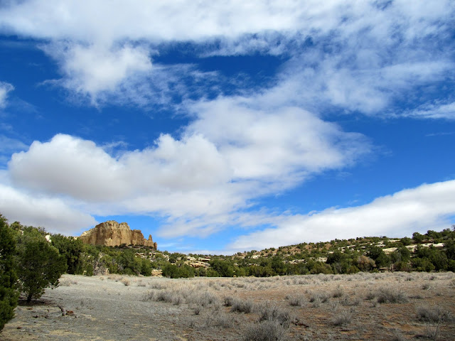
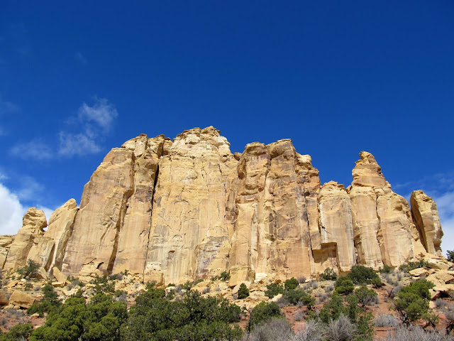
Cliffs that I explored near Locomotive Point
The Wickiup
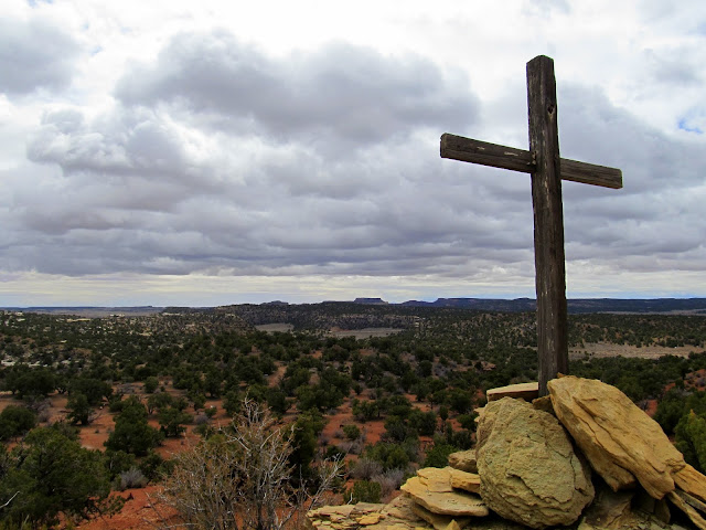
Wooden cross and dark clouds
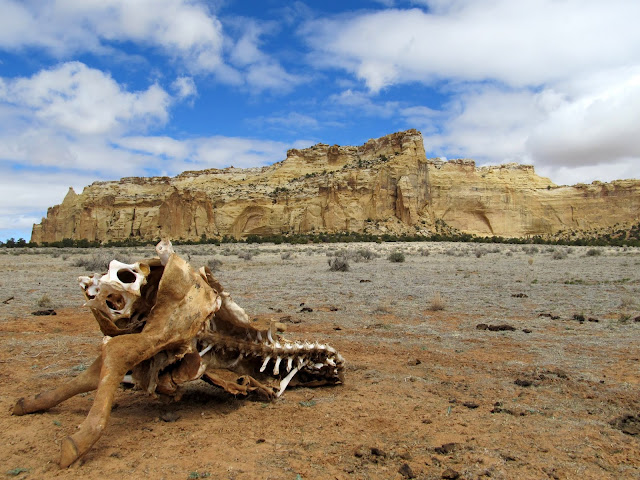
Dead cow near Locomotive Point
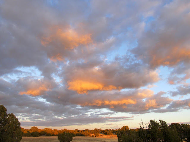
Sunset on the clouds on Thursday evening
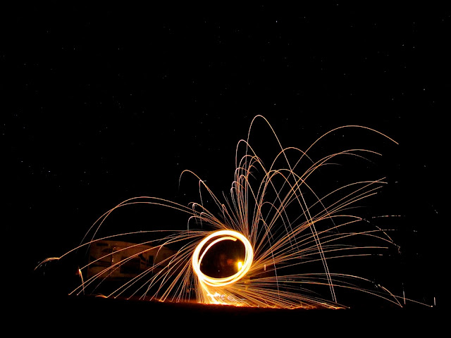
Chris sparking up
Friday was my favorite day of the trip. The two Chrises, long-time friend and hiking partner Chris M. along with Christina R., and I were up for some adventure and I decided on checking out Red Draw. I'd never been there and didn't have any information suggesting it would be a great hike, but I dimly recalled seeing some Panoramio photos suggesting it might be interesting. We hopped in the Jeep and drove through Red Draw until the road approached the section where the canyon deepened. From the get-go the hike involved a little scrambling to get into the bottom of the canyon, then it alternated between easy sandy sections and moderate downclimbs. We encountered a few places with deep pools or dryfalls that required us to climb out of then back into the canyon to bypass them. I was pleasantly surprised when we arrived at the Eardley Canyon confluence with relative ease. I'd fully been expecting to re-ascend Red Draw, but we consulted our GPS maps and decided to go down Eardley and scramble out of a side-canyon to a road that would lead us back to the vehicle. Eardley Canyon was super easy--just a stroll through the sand for most of the distance--but the canyon was deeper and prettier than Red Draw had been. We hiked about a mile in under 30 minutes, then took a break in the shade of a large boulder before beginning the exit climb. Ascending out of Eardley was difficult in spots. Chris R. and I took one route while the other Chris went another way, and I think he had an easier time of it. Once the exit route leveled out we walked along a now-closed road to the Jeep then returned to camp.
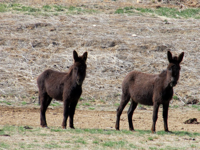
Wild donkeys in Red Draw
Small arch in Red Draw
Red Draw
A dryfall that we bypassed on the left LDC
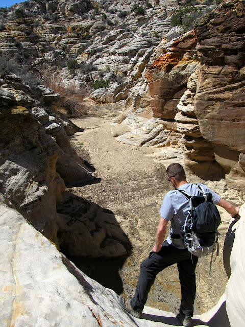
Red Draw
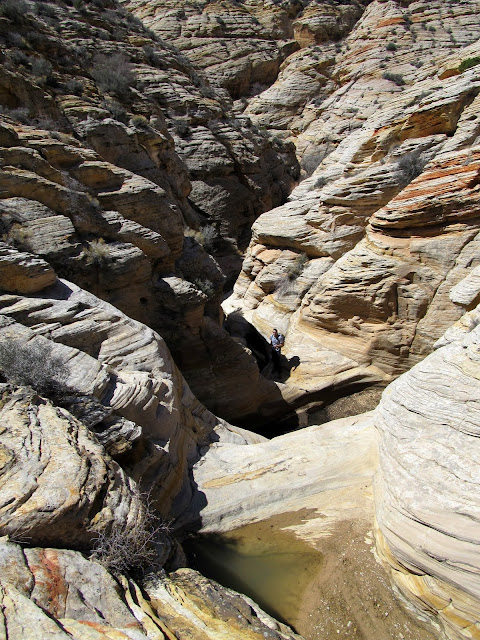
Red Draw
Starting down Eardley Canyon after Red Draw joined up
Eardley Canyon

Exiting Eardley Canyon
Almost to the top of the exit climb
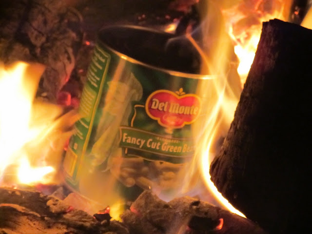
After a late lunch my family joined our trio and we drove to the Head of Sinbad area to find a place to rappel. Traci and the boys hiked up into the cliffs with us but didn't rappel. I took one turn going down the rope while the Chrises each rappelled twice. The drop was about 50', with an awkward start due to how low we anchored the rope. When done, we rejoined the group at camp and had two campfires that night: one for socializing and one for blowing up a 1-gallon can of green beans.")
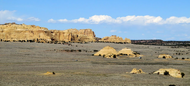
Head of Sinbad/Locomotive Point
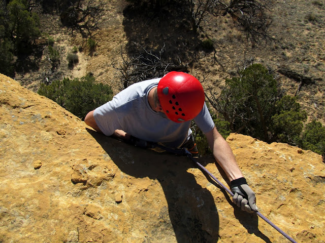
Chris starting the awkward rappel
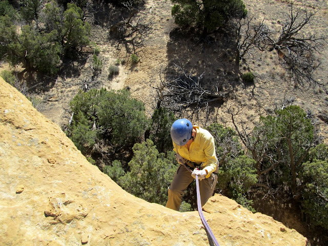
Chris on rappel
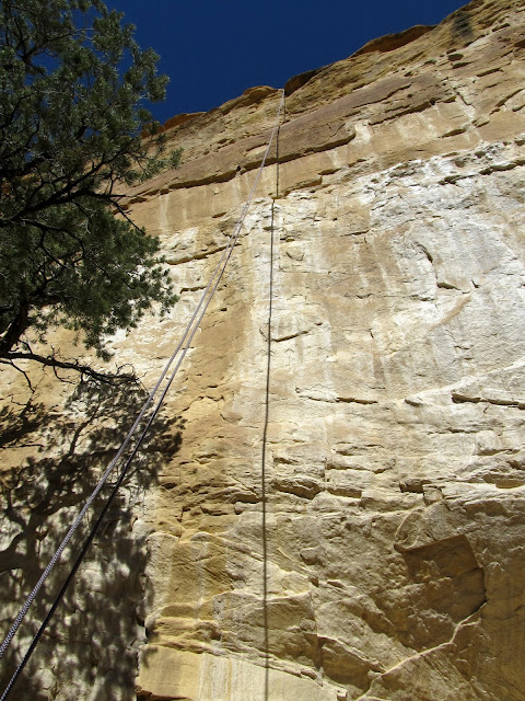
My view up the rope after rappelling
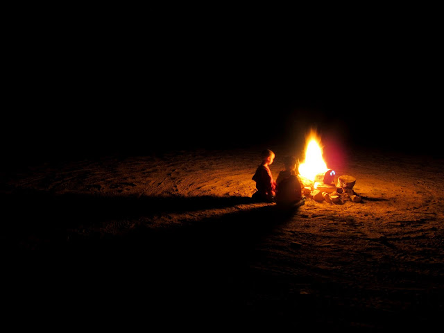
Griffin and Bradley entranced by the fire
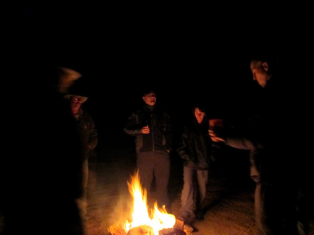
Hangin' 'round the fire
The green beans weren't as fancy as we'd hoped
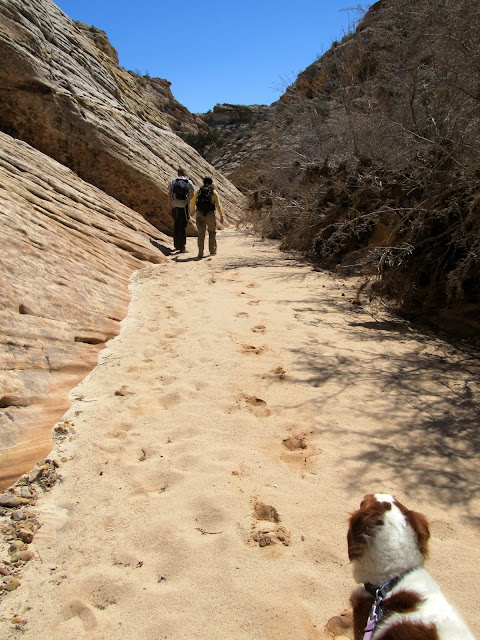
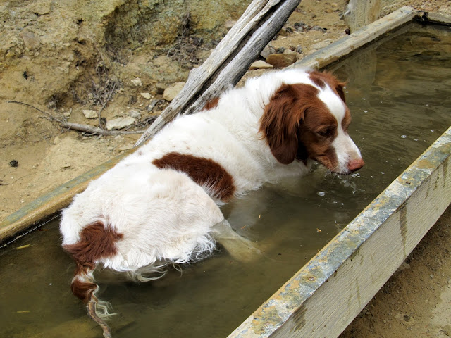
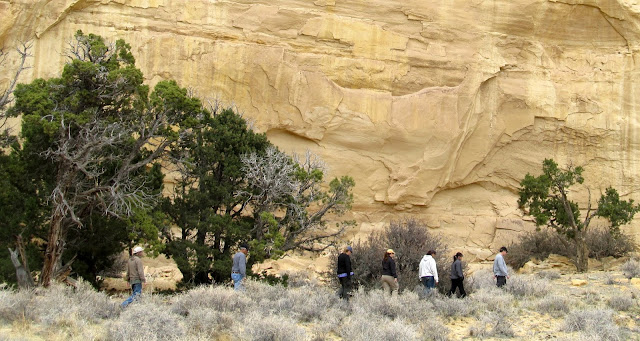
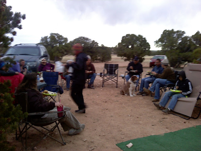
A group hike was planned for Saturday, and we returned to Reid Neilson Draw. I was hoping that it had dried out a little more and that the group would feel comfortable with the climb down into the canyon. We walked the rim to the pool of water I'd seen on Wednesday. A few guys climbed down to check it out while the rest of us waited, but while we were waiting we heard thunder in the distance. The drainage for this canyon begins eight miles away as the crow flies, and it wasn't difficult to make the decision to stay out of the slot canyon due to flash flood danger. When the advance party returned from inside the canyon, we all drove to Swasey's Cabin and began some easy hiking and exploring of that area. We hiked to the Ice Box and a couple of other alcoves behind the cabin, stopped at the Head of Sinbad geocache, visited the Lone Warrior pictograph, and goofed around a little bit in between. The wind kicked up for our potluck dinner at camp that evening. I ingested more minerals with my food than I'm used to, but I enjoyed all the good eats that were proffered by the group. It rained most of the night after dinner. About ten people holed up in my trailer and played cards, while another group took refuge in Ken & Jan's motorhome. A few of us brave souls, including Chris and myself, ventured out into the rain and spent a few hours around a roaring fire (and we, of course, blew up some corn).
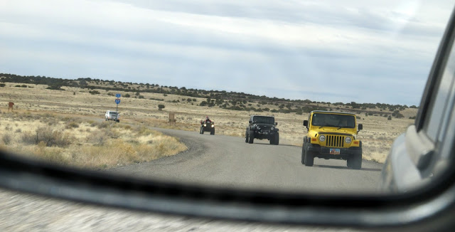
Heading out for some adventure on Saturday
Inside the Ice Box
Pinyon pine
Torrey at the spring near the Ice Box
Lone Warrior
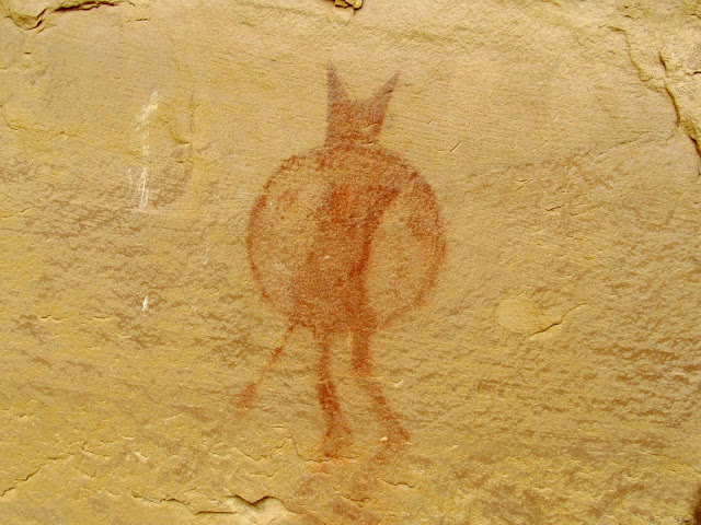
Hiking at the Lone Warrior
Part of the group at the potluck
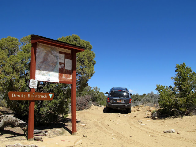
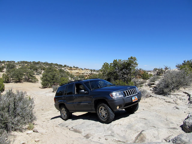
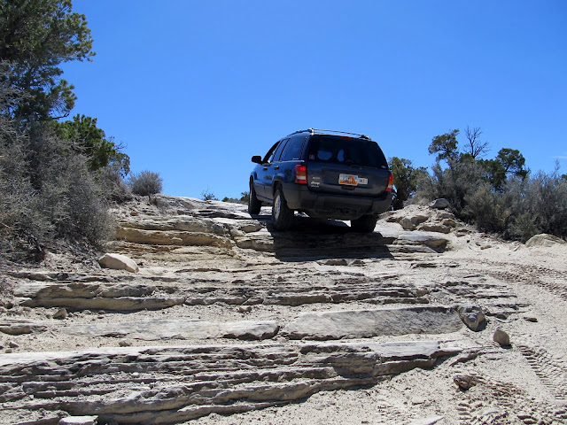
Most of the group left early on Sunday. The weather was quite nice considering the rain the night before, but many people had a long drive home. It was only a 1.5 hour drive home for me, so I was the last to leave. Before taking off, I drove with Chris to the Devil's Racetrack to find one of the few nearby geocaches that I hadn't been to. The Jeep scraped bottom a few times but made it through without any damage. At one point early on I had to stack a few rocks to get up a ledge. I'd love to try driving the entire Racetrack in the Jeep some other time, but with a capable vehicle for backup. The entire DRT is eight miles long and I only drove about 1.25 miles before finding the geocache and turning around. We returned to camp and found most people gone. Traci had gotten much of our stuff packed, and I helped with the rest before we pulled out and headed home.
Devil's Racetrack
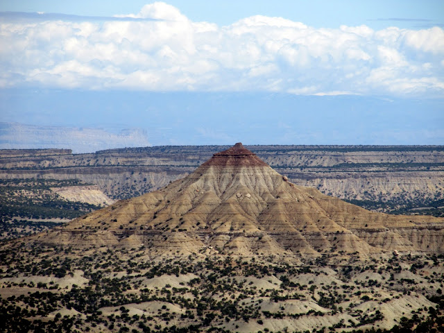
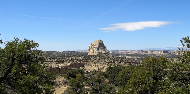
Chimney Rock
Devil's Racetrack
Devil's Racetrack
Full photo gallery:
https://picasaweb.google.com/Dennis.Udink/SanRafaelSpring2013
GPS tracklog and photo waypoints:
[parsehtml]<iframe width="640" height="480" frameborder="0" scrolling="no" marginheight="0" marginwidth="0" src="https://maps.google.com/maps?q=http:%2F%2Fudink.org%2Fgeo%2FSanRafaelSpring2013.kmz&hl=en&sll=39.499761,-111.547028&sspn=4.907901,10.821533&t=h&ie=UTF8&ll=38.858959,-110.703049&spn=0.256649,0.439453&z=11&output=embed"></iframe><br /><small><a href="https://maps.google.com/maps?q=http:%2F%2Fudink.org%2Fgeo%2FSanRafaelSpring2013.kmz&hl=en&sll=39.499761,-111.547028&sspn=4.907901,10.821533&t=h&ie=UTF8&ll=38.858959,-110.703049&spn=0.256649,0.439453&z=11&source=embed" style="color:#0000FF;text-align:left">View Larger Map</a></small>[/parsehtml]http://udink.org/geo/SanRafaelSpring2013.kmz
Featured image for home page:

Starting the long pull up Spotted Wolf Canyon
Ice crystals on the truck Wednesday morning
After we ate breakfast and warmed up a little, Dave and I went for an ATV ride to check out the water situation in the slot section of Reid Neilson Draw just before it meets up with Crawford Draw. I was hoping to bring the group there on Saturday for a hike, but the canyon tends to hold a lot of water after it rains/snows. It was a cold ride and we stopped a few times on the short eight mile trip to warm up. Dave, who had knee-replacement surgery after Thanksgiving last year, waited at the rim of the canyon while Torrey and I climbed down inside and hiked a little. I only made it a third of a mile down-canyon before encountering a too-deep pool of water. It appeared possible to scramble out of the canyon and follow the rim in order to descend back in below the pool, but I didn't explore further. I decided if we had warmer weather on Saturday that I'd take the group there and we'd just deal with any obstacles we encountered. We returned to camp after noon and the water lines had thawed sufficiently. One other couple arrived that afternoon, and most of the rest of the group showed up on Thursday.
ATVs parked at the start of the slot in Reid Neilson Draw (just before its confluence with Crawford Draw)
Reid Neilson Draw where Torrey and I scrambled down into the canyon
Reid Neilson Draw
Reid Neilson Draw
Reid Neilson Draw
Sunset on Wednesday
Sunset on Wednesday
I took off alone on Thursday and explored northeast of Locomotive Point. I'd heard about some old cowboy names carved in the cliffs there but I got sidetracked and didn't get close enough to search them out. Instead, I rode my ATV slowly searching for rock art near the road, then did a little hiking at the base of some cliffs above Horseshoe Bend. In the early evening I also rode to upper Straight Wash and did some hiking in the wash searching for arrowheads, since I know of two people who have found them in that area while geocaching the Heart of the Desert series. I found all 20 geocaches in the series five years ago, but I didn't have "the eye" for arrowheads then. I came up blank this time, too. Traci and the kids got to camp shortly before I returned and we had a pretty relaxed evening around the fire.
Near the head of Reid Neilson Draw
Cliffs that I explored near Locomotive Point
The Wickiup
Wooden cross and dark clouds
Dead cow near Locomotive Point
Sunset on the clouds on Thursday evening
Chris sparking up
Friday was my favorite day of the trip. The two Chrises, long-time friend and hiking partner Chris M. along with Christina R., and I were up for some adventure and I decided on checking out Red Draw. I'd never been there and didn't have any information suggesting it would be a great hike, but I dimly recalled seeing some Panoramio photos suggesting it might be interesting. We hopped in the Jeep and drove through Red Draw until the road approached the section where the canyon deepened. From the get-go the hike involved a little scrambling to get into the bottom of the canyon, then it alternated between easy sandy sections and moderate downclimbs. We encountered a few places with deep pools or dryfalls that required us to climb out of then back into the canyon to bypass them. I was pleasantly surprised when we arrived at the Eardley Canyon confluence with relative ease. I'd fully been expecting to re-ascend Red Draw, but we consulted our GPS maps and decided to go down Eardley and scramble out of a side-canyon to a road that would lead us back to the vehicle. Eardley Canyon was super easy--just a stroll through the sand for most of the distance--but the canyon was deeper and prettier than Red Draw had been. We hiked about a mile in under 30 minutes, then took a break in the shade of a large boulder before beginning the exit climb. Ascending out of Eardley was difficult in spots. Chris R. and I took one route while the other Chris went another way, and I think he had an easier time of it. Once the exit route leveled out we walked along a now-closed road to the Jeep then returned to camp.
Wild donkeys in Red Draw
Small arch in Red Draw
Red Draw
A dryfall that we bypassed on the left LDC
Red Draw
Red Draw
Starting down Eardley Canyon after Red Draw joined up
Eardley Canyon
Exiting Eardley Canyon
Almost to the top of the exit climb
After a late lunch my family joined our trio and we drove to the Head of Sinbad area to find a place to rappel. Traci and the boys hiked up into the cliffs with us but didn't rappel. I took one turn going down the rope while the Chrises each rappelled twice. The drop was about 50', with an awkward start due to how low we anchored the rope. When done, we rejoined the group at camp and had two campfires that night: one for socializing and one for blowing up a 1-gallon can of green beans.
Head of Sinbad/Locomotive Point
Chris starting the awkward rappel
Chris on rappel
My view up the rope after rappelling
Griffin and Bradley entranced by the fire
Hangin' 'round the fire
The green beans weren't as fancy as we'd hoped
A group hike was planned for Saturday, and we returned to Reid Neilson Draw. I was hoping that it had dried out a little more and that the group would feel comfortable with the climb down into the canyon. We walked the rim to the pool of water I'd seen on Wednesday. A few guys climbed down to check it out while the rest of us waited, but while we were waiting we heard thunder in the distance. The drainage for this canyon begins eight miles away as the crow flies, and it wasn't difficult to make the decision to stay out of the slot canyon due to flash flood danger. When the advance party returned from inside the canyon, we all drove to Swasey's Cabin and began some easy hiking and exploring of that area. We hiked to the Ice Box and a couple of other alcoves behind the cabin, stopped at the Head of Sinbad geocache, visited the Lone Warrior pictograph, and goofed around a little bit in between. The wind kicked up for our potluck dinner at camp that evening. I ingested more minerals with my food than I'm used to, but I enjoyed all the good eats that were proffered by the group. It rained most of the night after dinner. About ten people holed up in my trailer and played cards, while another group took refuge in Ken & Jan's motorhome. A few of us brave souls, including Chris and myself, ventured out into the rain and spent a few hours around a roaring fire (and we, of course, blew up some corn).
Heading out for some adventure on Saturday
Inside the Ice Box
Pinyon pine
Torrey at the spring near the Ice Box
Lone Warrior
Hiking at the Lone Warrior
Part of the group at the potluck
Most of the group left early on Sunday. The weather was quite nice considering the rain the night before, but many people had a long drive home. It was only a 1.5 hour drive home for me, so I was the last to leave. Before taking off, I drove with Chris to the Devil's Racetrack to find one of the few nearby geocaches that I hadn't been to. The Jeep scraped bottom a few times but made it through without any damage. At one point early on I had to stack a few rocks to get up a ledge. I'd love to try driving the entire Racetrack in the Jeep some other time, but with a capable vehicle for backup. The entire DRT is eight miles long and I only drove about 1.25 miles before finding the geocache and turning around. We returned to camp and found most people gone. Traci had gotten much of our stuff packed, and I helped with the rest before we pulled out and headed home.
Devil's Racetrack
Chimney Rock
Devil's Racetrack
Devil's Racetrack
Full photo gallery:
https://picasaweb.google.com/Dennis.Udink/SanRafaelSpring2013
GPS tracklog and photo waypoints:
[parsehtml]<iframe width="640" height="480" frameborder="0" scrolling="no" marginheight="0" marginwidth="0" src="https://maps.google.com/maps?q=http:%2F%2Fudink.org%2Fgeo%2FSanRafaelSpring2013.kmz&hl=en&sll=39.499761,-111.547028&sspn=4.907901,10.821533&t=h&ie=UTF8&ll=38.858959,-110.703049&spn=0.256649,0.439453&z=11&output=embed"></iframe><br /><small><a href="https://maps.google.com/maps?q=http:%2F%2Fudink.org%2Fgeo%2FSanRafaelSpring2013.kmz&hl=en&sll=39.499761,-111.547028&sspn=4.907901,10.821533&t=h&ie=UTF8&ll=38.858959,-110.703049&spn=0.256649,0.439453&z=11&source=embed" style="color:#0000FF;text-align:left">View Larger Map</a></small>[/parsehtml]http://udink.org/geo/SanRafaelSpring2013.kmz
Featured image for home page: