Joey
walking somewhere
- Joined
- Apr 1, 2014
- Messages
- 878
This is a 4 day backpack I did earlier this week. We started at Burr Point, dropped down to the Dirty Devil River, and headed up Sams Mesa Box Canyon. We climbed out of that, and dropped into Twin Corral Box Canyon. Then we headed back down to the Dirty Devil, and climbed back up to Burr Point.
For a look at the route, check it out here: Click here to view on CalTopo
Here is the trip video:
An overview look:
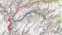
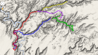
Day 1 we hit the trail about 8:30 in the morning. Overlooking the Dirty Devil River, we drop down several hundred feet.
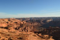
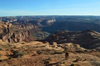
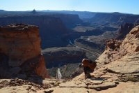
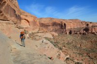
We reach a shelf, and follow the edge around for a few hours.

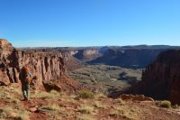
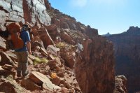
Soon we have our first views of our canyons. Looking out at the Dirty Devil, with Twin Corral heading off to the right:
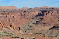
Looking towards Sams Mesa Box Canyon. You can make out an old miner's road along the river.
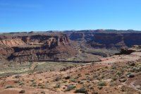
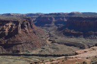
Another view of Twin Corral:
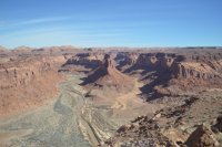
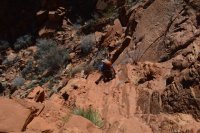
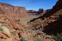
After passing a spring, we drop down steeply to the river:
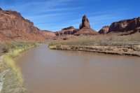
Next we crossed the Dirty Devil:
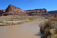
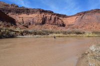

We followed the old road bed towards Sams Mesa:
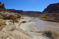
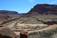
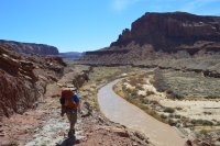
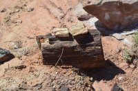
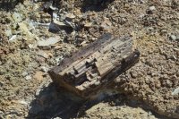
Lots of petrified wood:
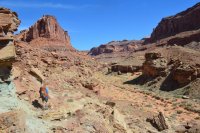
Finally we reached the canyon:
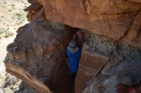
We took a short cut, which cliffed out. We found this crack to drop down:
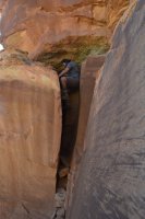

Then we headed up the canyon:
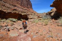
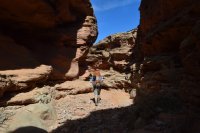
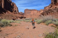
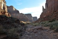
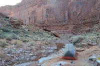
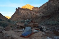
There was plenty of water. We set up camp down in the wash:
Day 2 is in green:
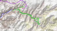
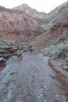
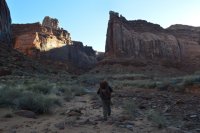
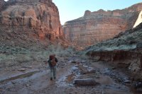
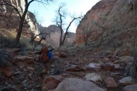
Our plan was to head up the main wash, staying to the right. Then we were going to try climbing a non technical route out. We started off around 8:30am, and quickly ran into a lady hiker. She was part of a NOLS group of 12, who were on a 21 day backpack down from Horseshoe Canyon. Very talkative, she informed us that we couldn't get out without ropes farther up canyon. Their group had scrambled down boulders near where they camped, and we could easily get up that way. We thanked her, and continued on. The canyon was beautiful:
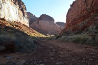
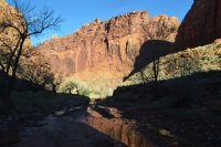
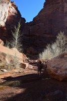
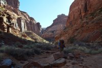
We climbed above 2 dryfalls:

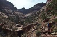
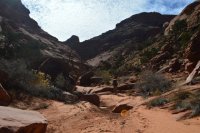
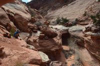
The next part of the canyon requires ropes, so at this point we headed straight up:
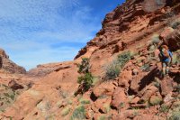
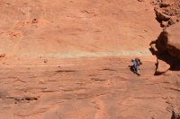
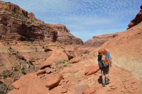

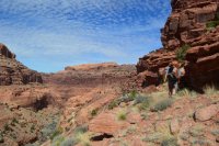
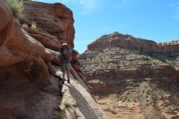
These next 2 pictures are looking down the canyon, where we had come from:
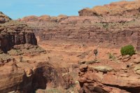
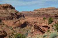
We reached a great sheep trail, and took it both directions for a while, looking for our route out of the canyon. We knew there was a way, we just couldn't find it. Eventually, we decided to follow the sheep trail north.
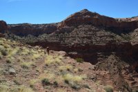
That ended up being the wrong way. We did climb up near the top, and came within a few feet of getting out.
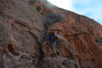
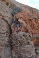
But things ended up getting sketchy, so we decided to keep walking along the shelf, hoping to find another way.
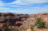
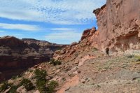
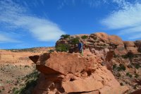
Eventually, we realized there was no way out near us, so we dropped back down into the canyon. We had to navigate steep terrain and several pour offs on our way down.
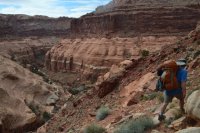

Back down in the canyon, we headed back to where the NOLS girl had told us we could scramble out. Of course, their entire group was standing in the wash as we passed. As we walked by, we could here the girl in the background saying "Hey, I saw those 2 guys this morning. I told them they wouldn't be able to get out that way". We both put our heads down, and continued on our walk of shame.
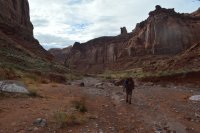
Soon we reached the side canyon, and headed up the boulder field:
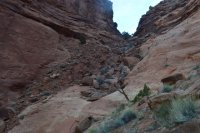
Looking back down the canyon:
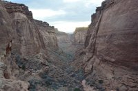
It was almost dark when we finally made camp. I was worn out. But our camp overlooking the canyon was worth it:
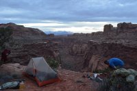
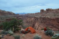
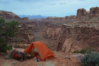
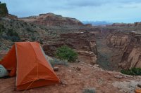
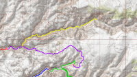
Day 3 is our route in purple. The yellow is where we dropped our packs, and hiked up canyon to explore:
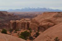
It rained briefly during the night, and was overcast when we set off to the top of the mesa:
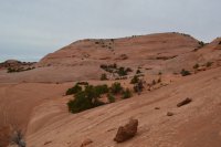
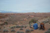
After a few hours, we started dropping into the south fork of Twin Corral:
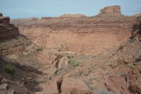
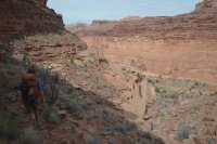
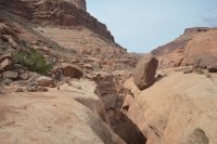
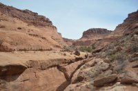
Then we dropped our packs, and headed up canyon for a few hours.
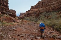
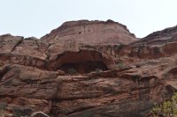
I believe this is a bridge. You can see the light coming through behind it:
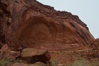
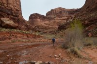
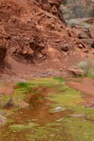
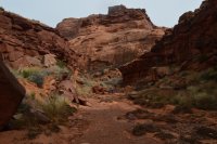
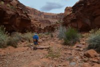
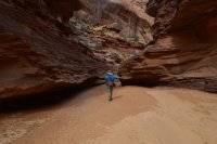
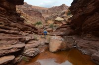
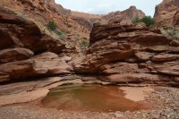
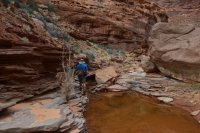
There was plenty of water in the canyon.
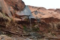
A little waterfall.
After a few hours we headed back to our packs, and then down the canyon before setting up camp:
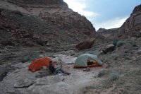
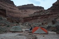
Day 4 we headed down the canyon.
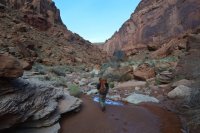
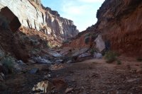
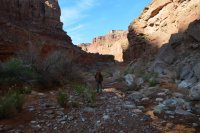
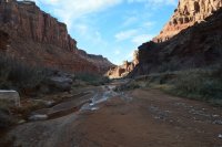
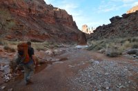
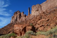
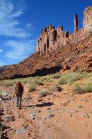
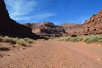
We reached the Dirty Devil, which was a few inches lower than it had been the first time we crossed:
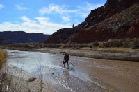
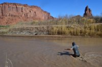
Then it was few blistering hours back up to Burr Point. The end.
For a look at the route, check it out here: Click here to view on CalTopo
Here is the trip video:
An overview look:


Day 1 we hit the trail about 8:30 in the morning. Overlooking the Dirty Devil River, we drop down several hundred feet.


We reach a shelf, and follow the edge around for a few hours.


Soon we have our first views of our canyons. Looking out at the Dirty Devil, with Twin Corral heading off to the right:

Looking towards Sams Mesa Box Canyon. You can make out an old miner's road along the river.


Another view of Twin Corral:

After passing a spring, we drop down steeply to the river:


Next we crossed the Dirty Devil:


We followed the old road bed towards Sams Mesa:


Lots of petrified wood:


Finally we reached the canyon:

We took a short cut, which cliffed out. We found this crack to drop down:


Then we headed up the canyon:


There was plenty of water. We set up camp down in the wash:


Day 2 is in green:

Our plan was to head up the main wash, staying to the right. Then we were going to try climbing a non technical route out. We started off around 8:30am, and quickly ran into a lady hiker. She was part of a NOLS group of 12, who were on a 21 day backpack down from Horseshoe Canyon. Very talkative, she informed us that we couldn't get out without ropes farther up canyon. Their group had scrambled down boulders near where they camped, and we could easily get up that way. We thanked her, and continued on. The canyon was beautiful:


We climbed above 2 dryfalls:


The next part of the canyon requires ropes, so at this point we headed straight up:


These next 2 pictures are looking down the canyon, where we had come from:


We reached a great sheep trail, and took it both directions for a while, looking for our route out of the canyon. We knew there was a way, we just couldn't find it. Eventually, we decided to follow the sheep trail north.

That ended up being the wrong way. We did climb up near the top, and came within a few feet of getting out.


But things ended up getting sketchy, so we decided to keep walking along the shelf, hoping to find another way.


Eventually, we realized there was no way out near us, so we dropped back down into the canyon. We had to navigate steep terrain and several pour offs on our way down.


Back down in the canyon, we headed back to where the NOLS girl had told us we could scramble out. Of course, their entire group was standing in the wash as we passed. As we walked by, we could here the girl in the background saying "Hey, I saw those 2 guys this morning. I told them they wouldn't be able to get out that way". We both put our heads down, and continued on our walk of shame.

Soon we reached the side canyon, and headed up the boulder field:

Looking back down the canyon:

It was almost dark when we finally made camp. I was worn out. But our camp overlooking the canyon was worth it:


Day 3 is our route in purple. The yellow is where we dropped our packs, and hiked up canyon to explore:

It rained briefly during the night, and was overcast when we set off to the top of the mesa:


After a few hours, we started dropping into the south fork of Twin Corral:


Then we dropped our packs, and headed up canyon for a few hours.

I believe this is a bridge. You can see the light coming through behind it:


There was plenty of water in the canyon.


A little waterfall.

After a few hours we headed back to our packs, and then down the canyon before setting up camp:


Day 4 we headed down the canyon.


We reached the Dirty Devil, which was a few inches lower than it had been the first time we crossed:


Then it was few blistering hours back up to Burr Point. The end.
Last edited:
