NorthwestWanderer
Member
- Joined
- May 3, 2018
- Messages
- 292
Back in August I had an on & off trail expedition in Olympic National park which I loved. Unfortunately on day 5 of the trip (the last day) it was extremely cloudy and the supposed amazingly beautiful ridge walk was mostly socked in. I found some time to go back and complete (mostly) that section of the trail. I brought Lacey along too so she can get a taste of the Olympics.
Day Hike Total Miles : 11.6
Total Net Elevation Gain : 2970 ft
We arrived at Deer Park CG where the trail starts and nabbed a pretty awesome camp spot. It was pretty vacant, the summer crowd was all gone. After setting camp up we went to the summit of Blue Mountain which was less than 1 mile and around 600ft of elevation gain away.
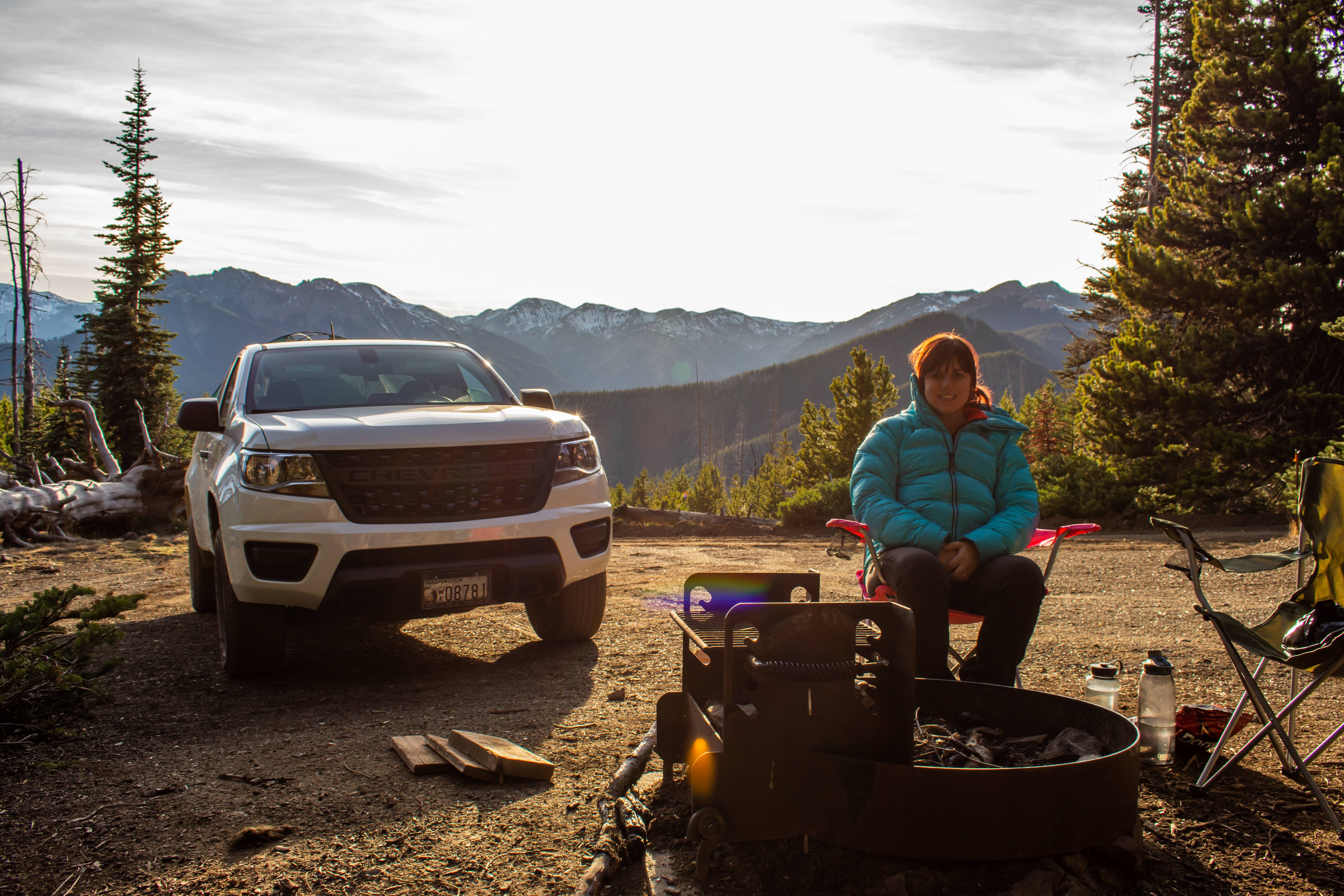
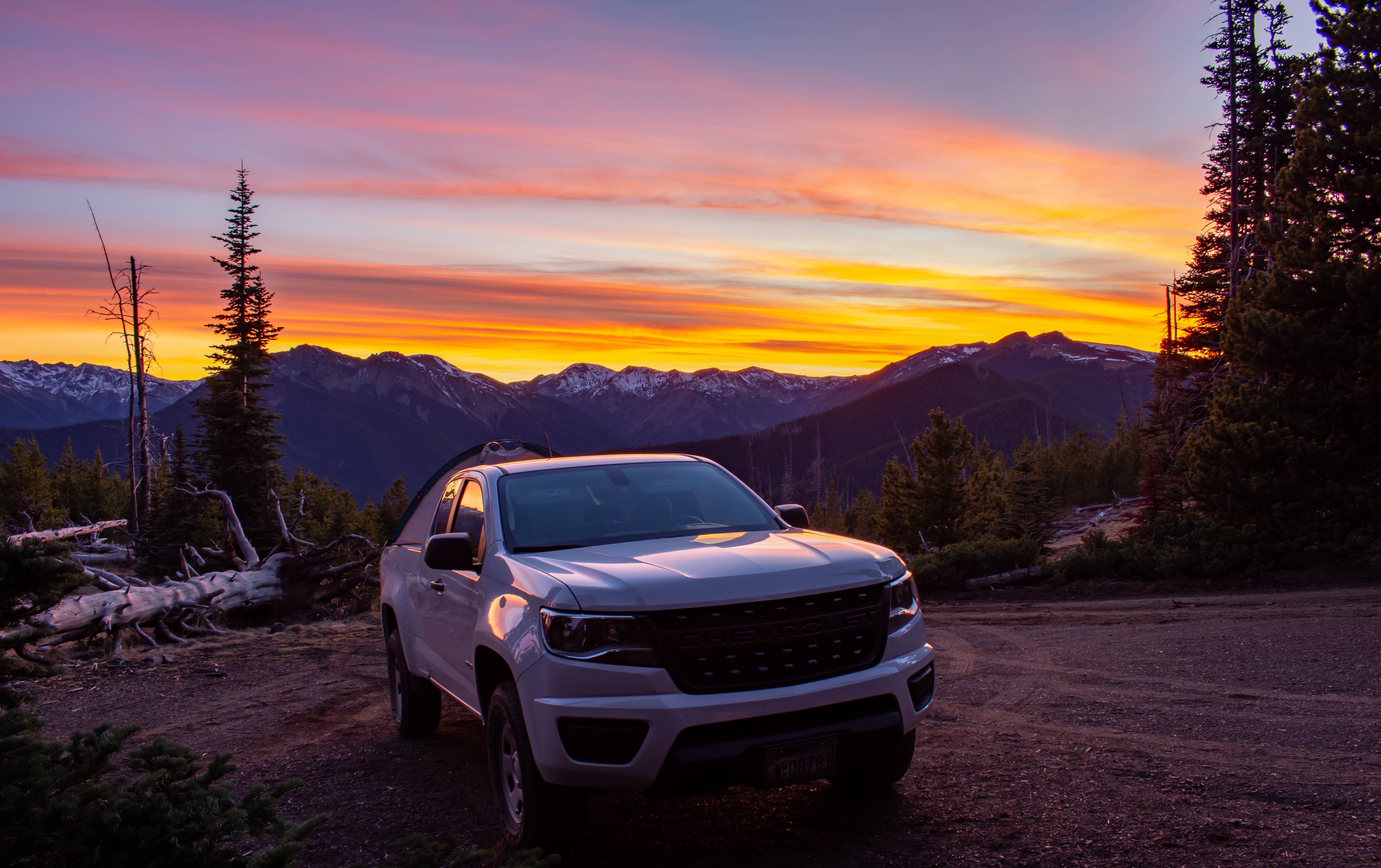
Camp spot.
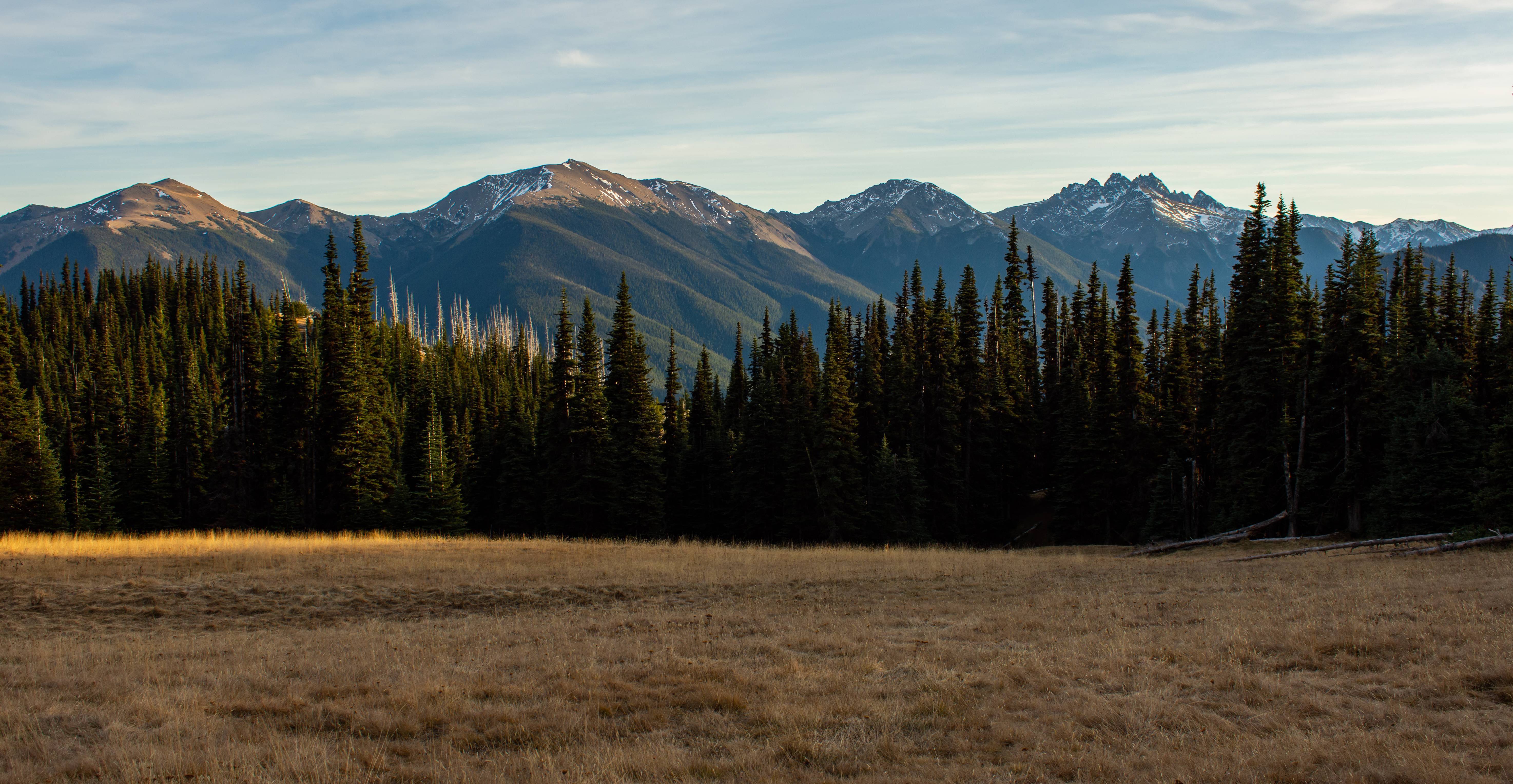
Headed through dead late fall meadows
Very eastern WA looking. Summit ahead.
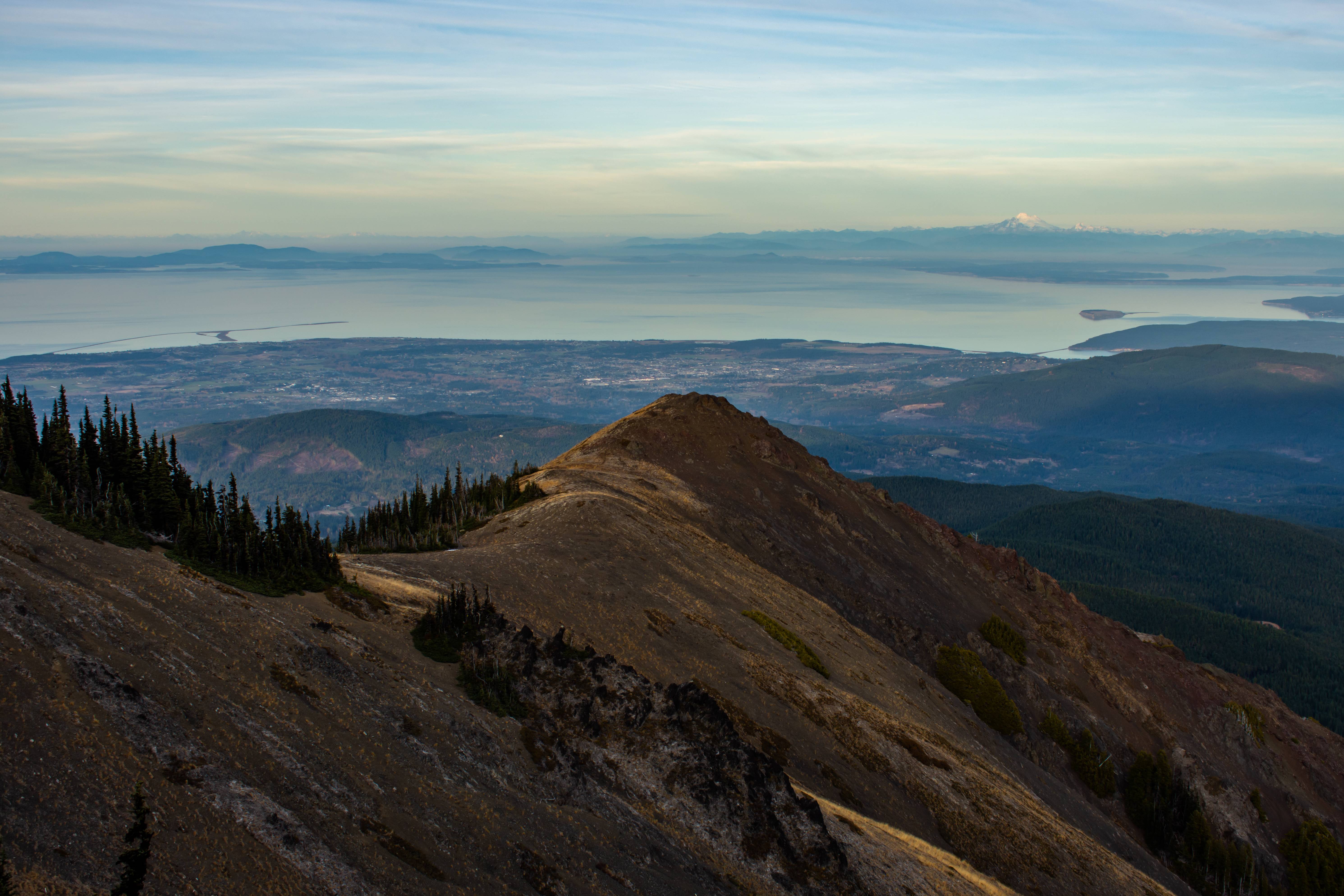
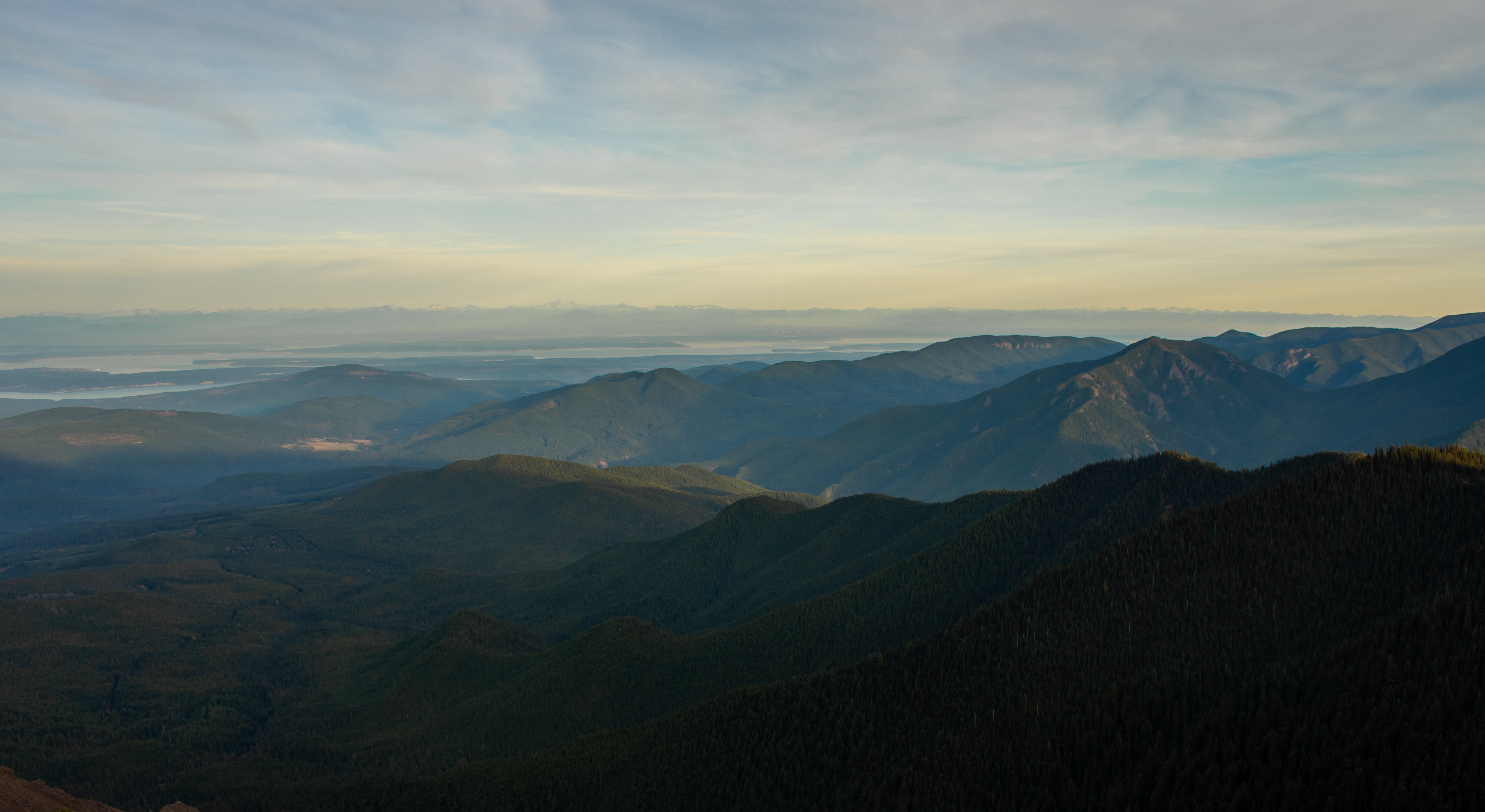
At the top of blue mountain. Long sand bar on left is the dungeness spit and the big mountain 88 miles away is Mount Baker with the North Cascades off to the right. The local relief of the olympics is trippy. We could literally see 0 feet above sea level from our 5900ft summit lol (in example the Tetons have 6800ft of local relief)
As I mentioned in my previous trip here, the elevations aren't grand in the olympics but the mountains due to local relief look and the lower alpine zones look freaking huge.
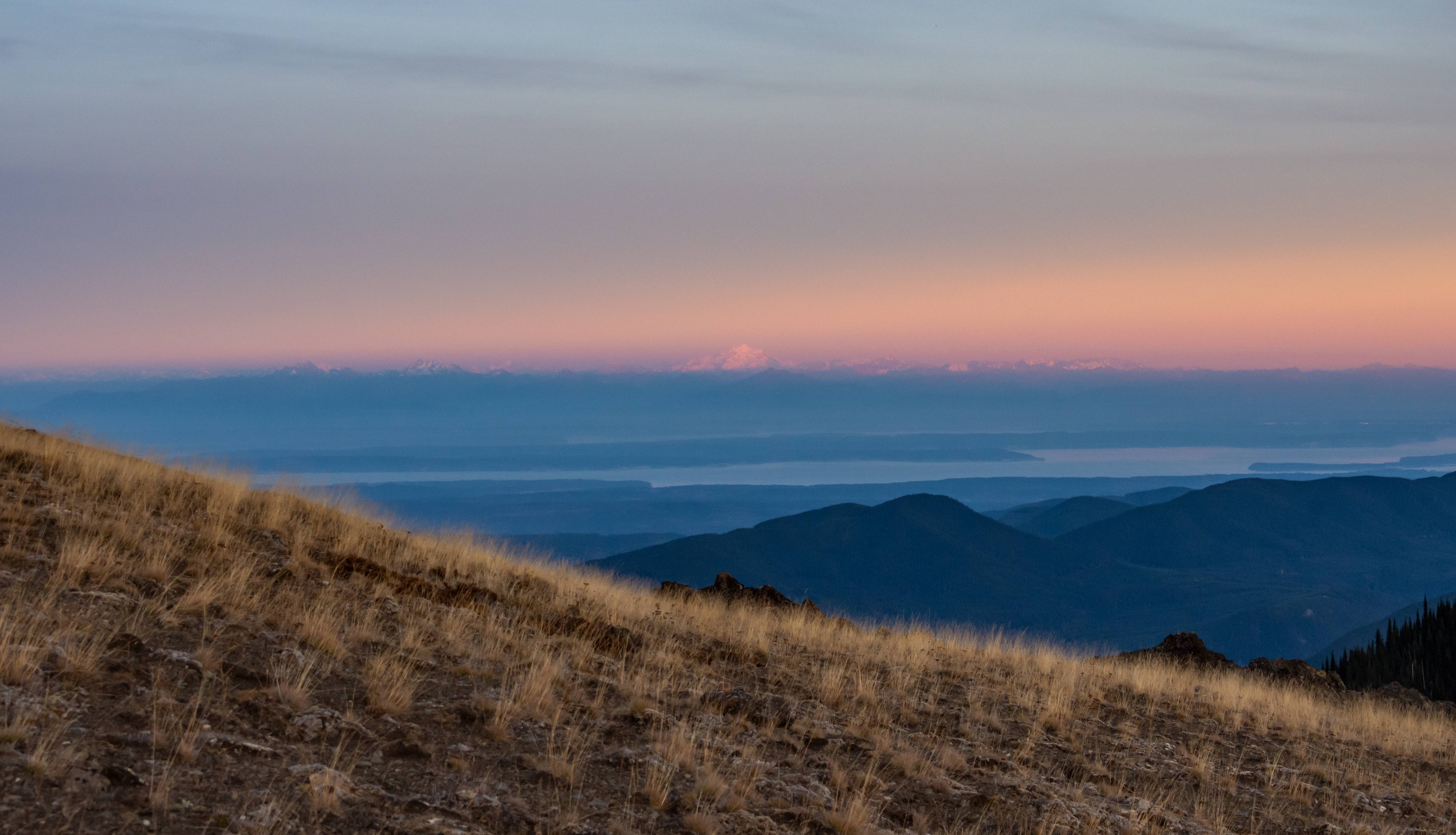
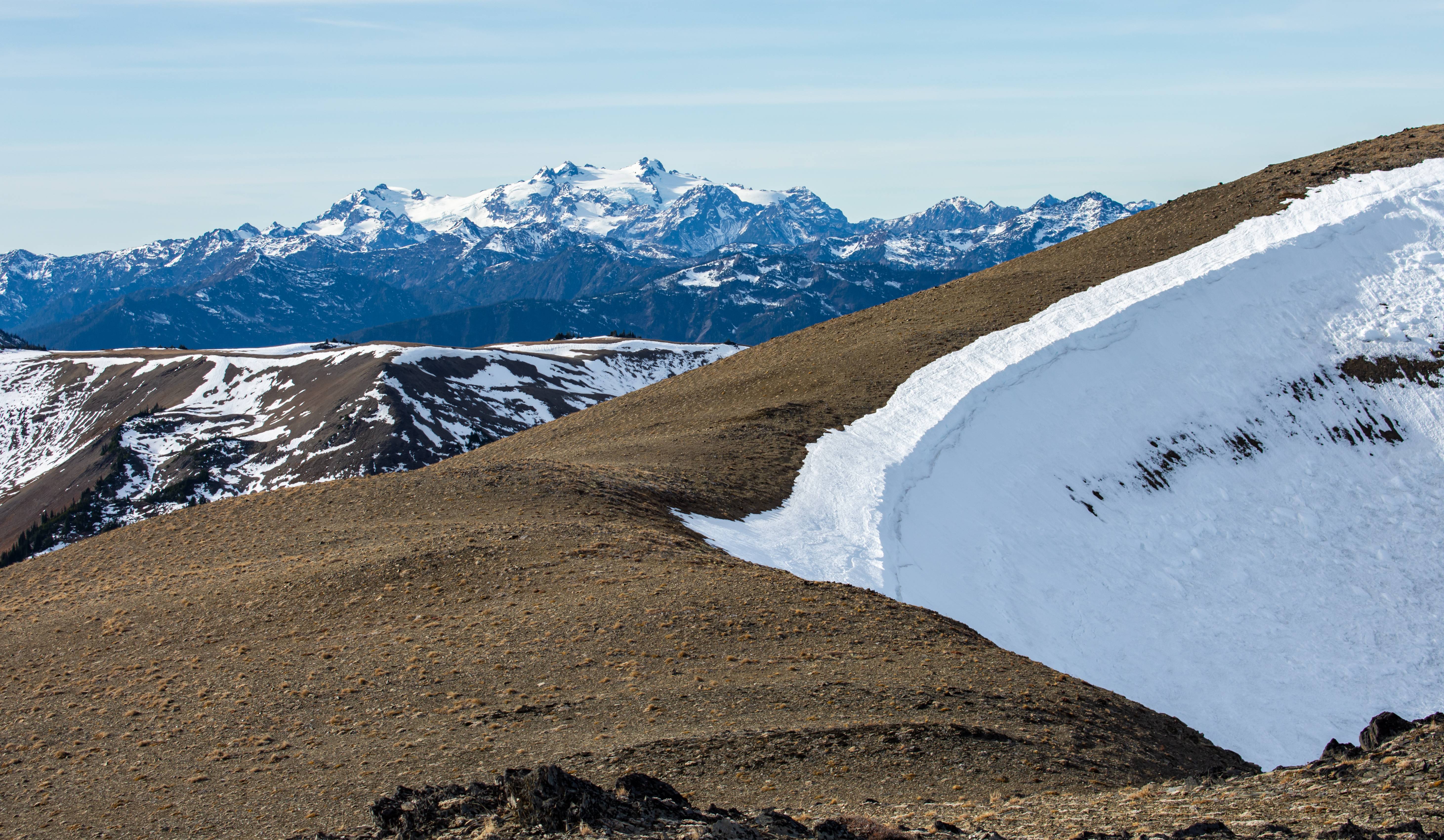
Looking directly east. Big white mountain center left of the photo is Glacier Peak which is 100 miles away.
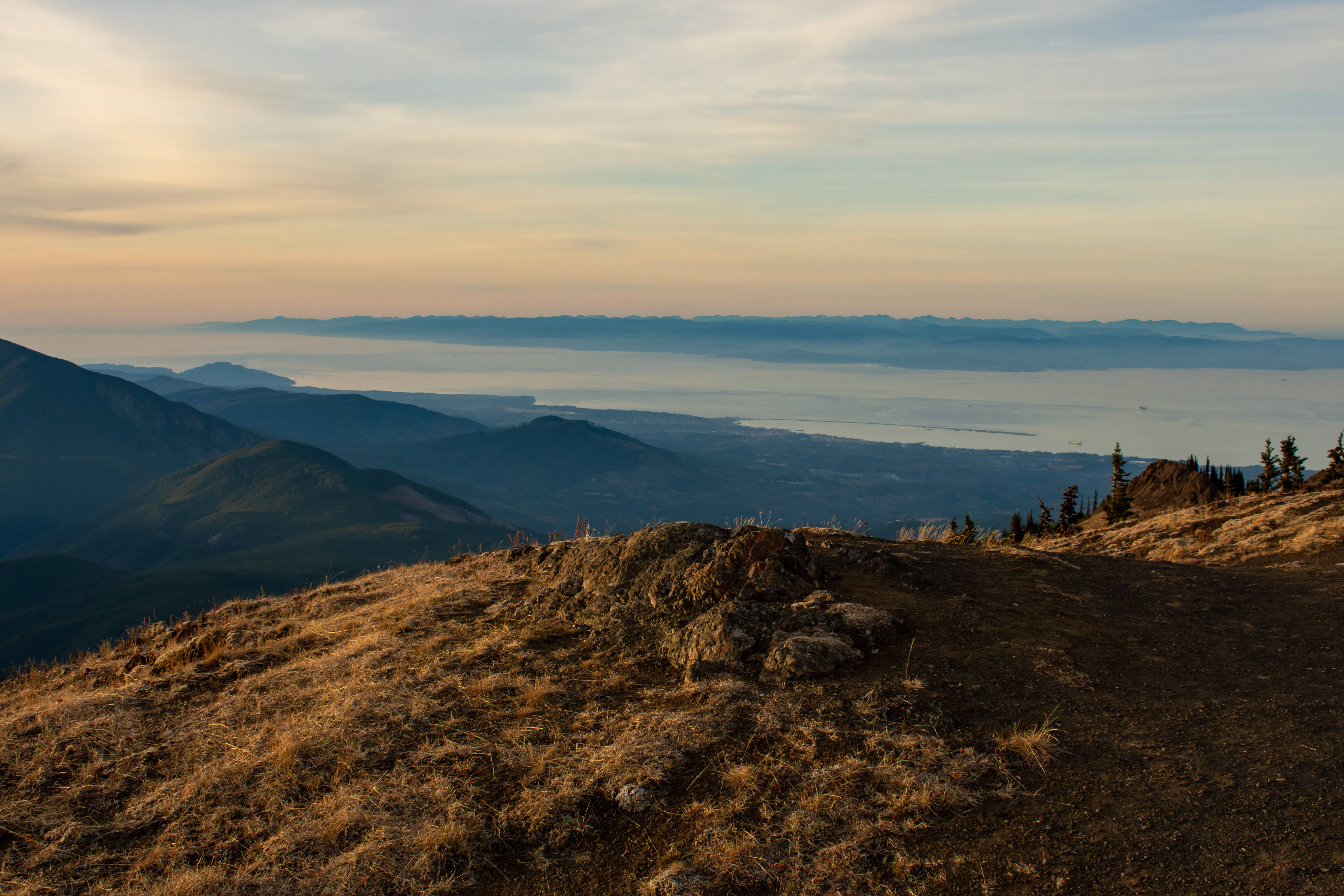
Looking NW into Canada. Freighters leaving port.
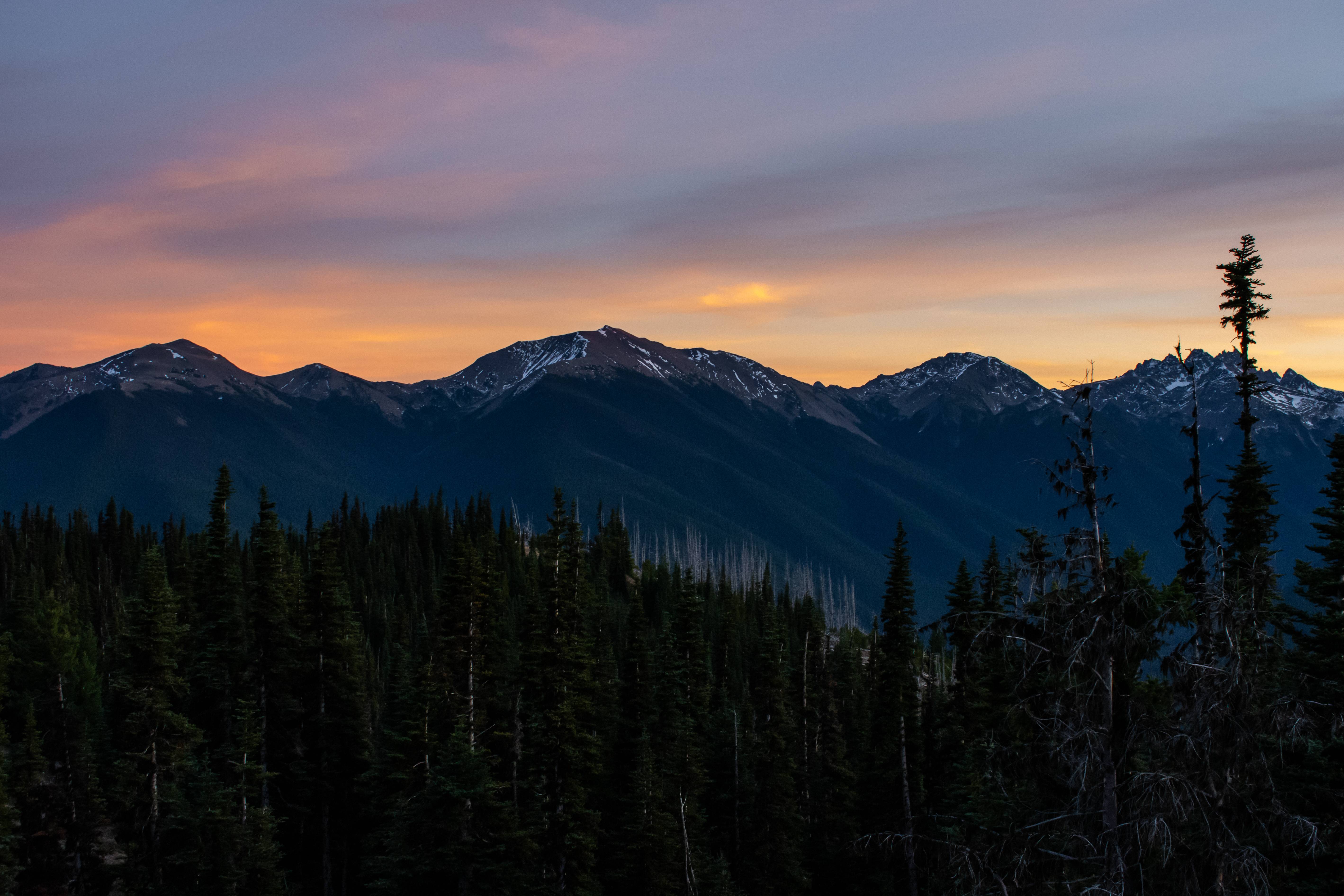
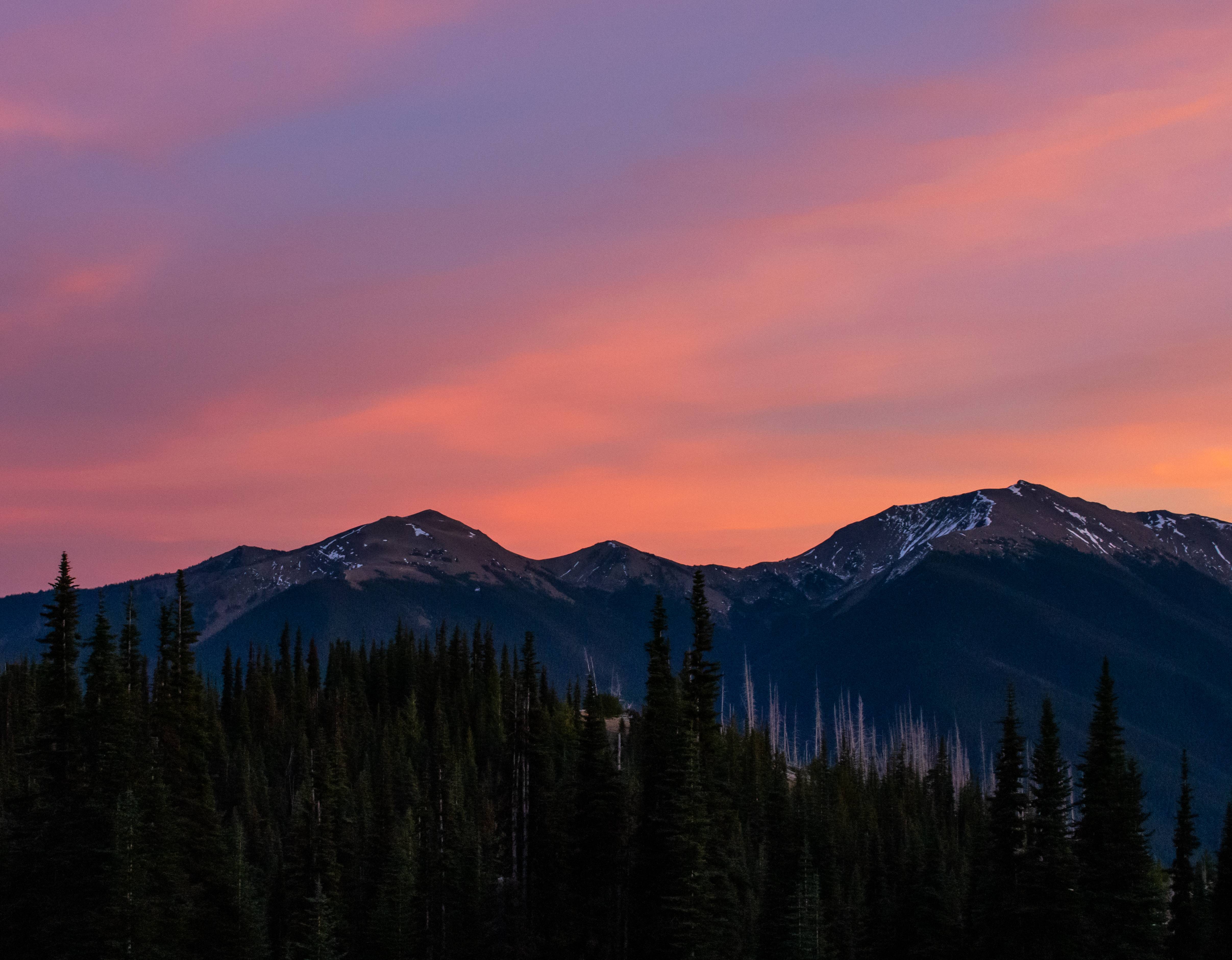
Headed back to camp. Gnarly alpenglow on Glacier Peak and the North Cascades
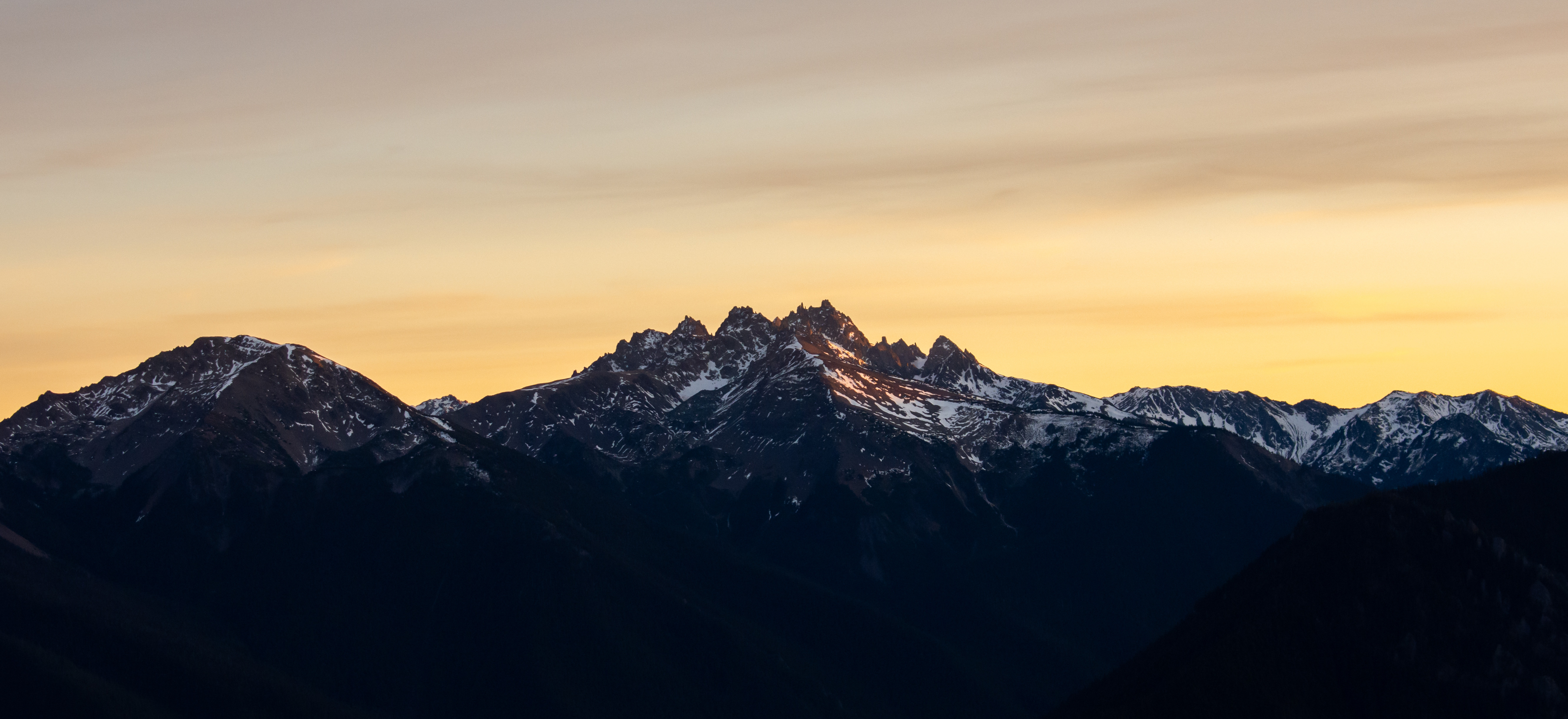
The Needles
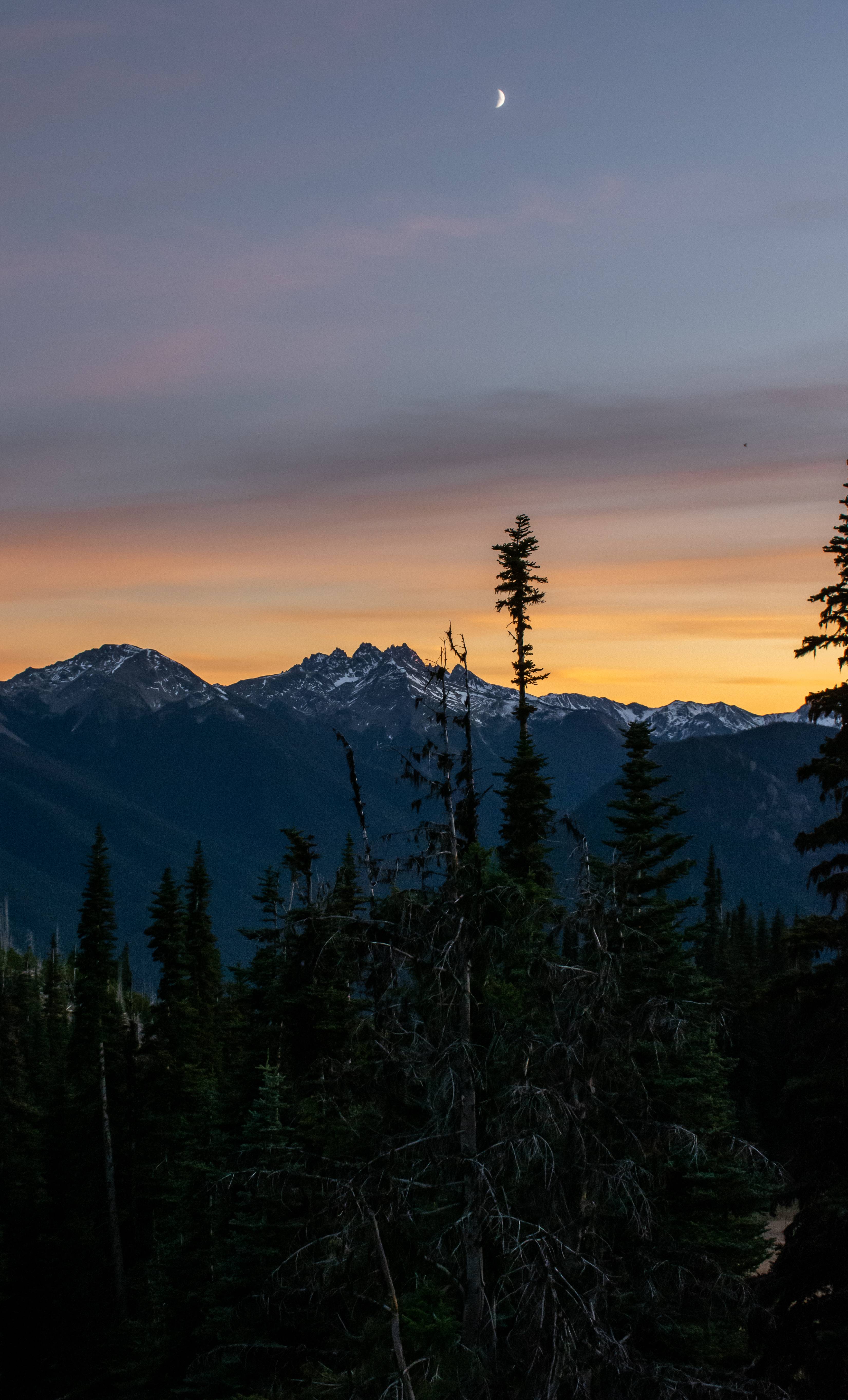
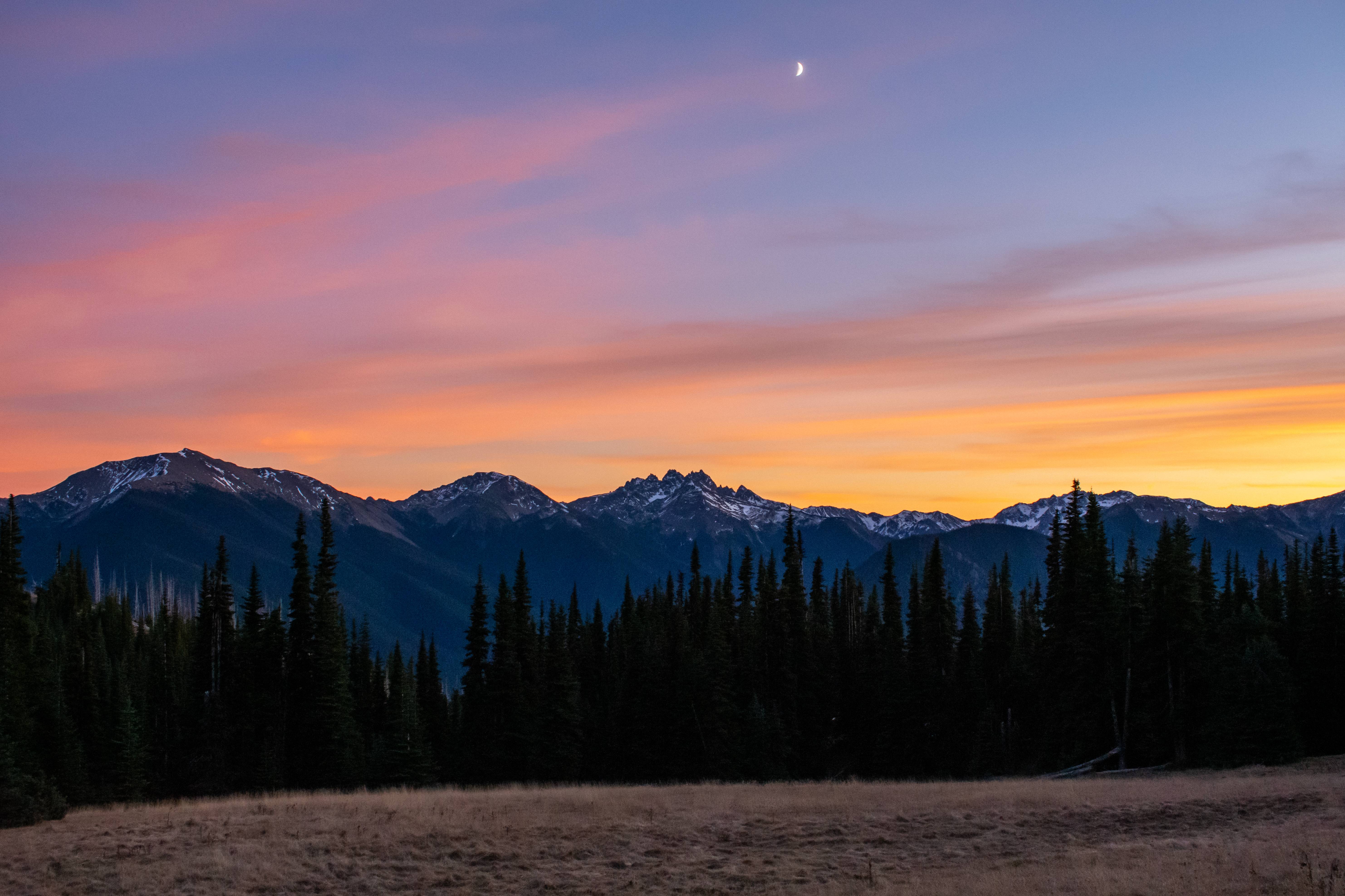
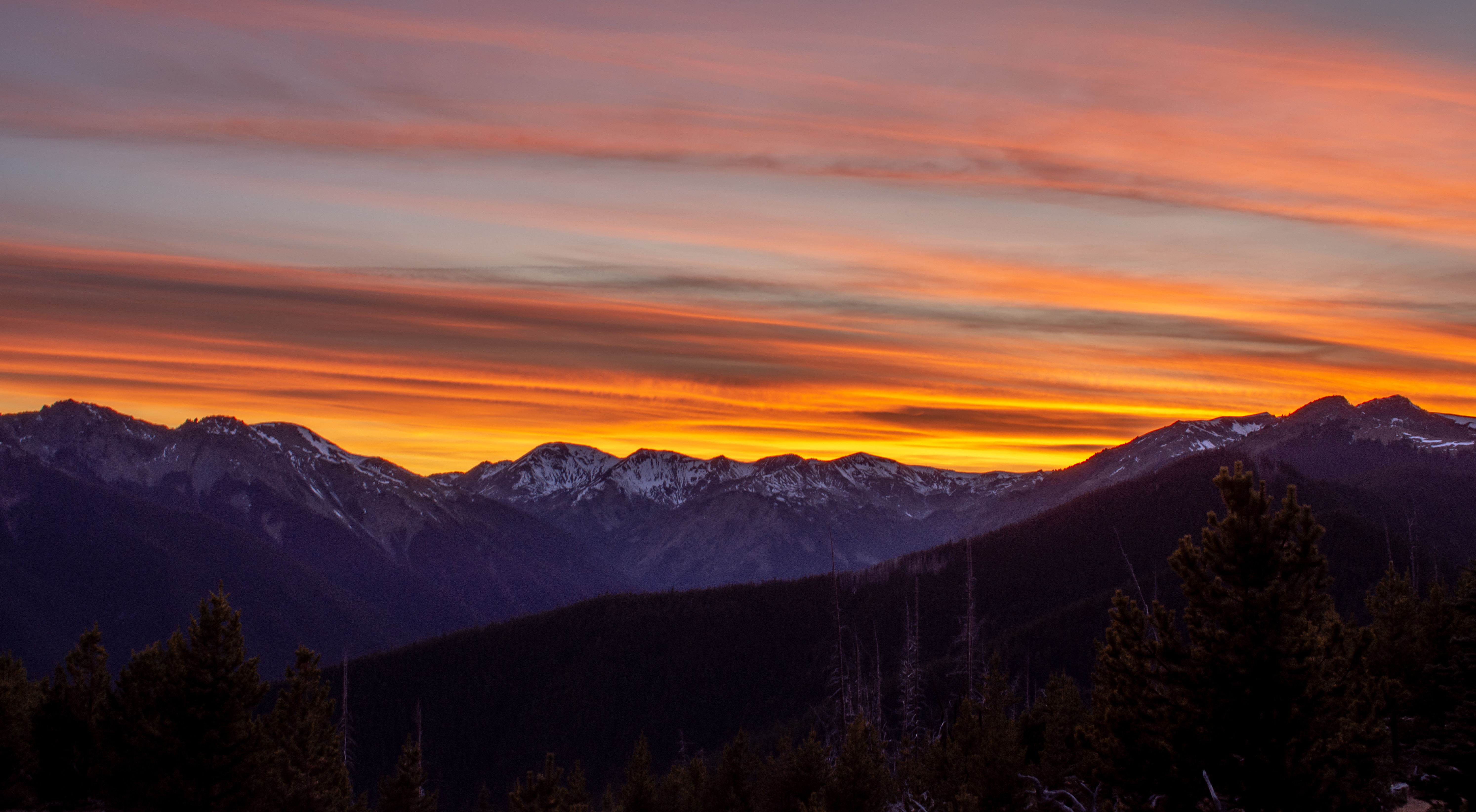
Same meadow we walked through. Warm colors of the pacific sunset gave it more life.
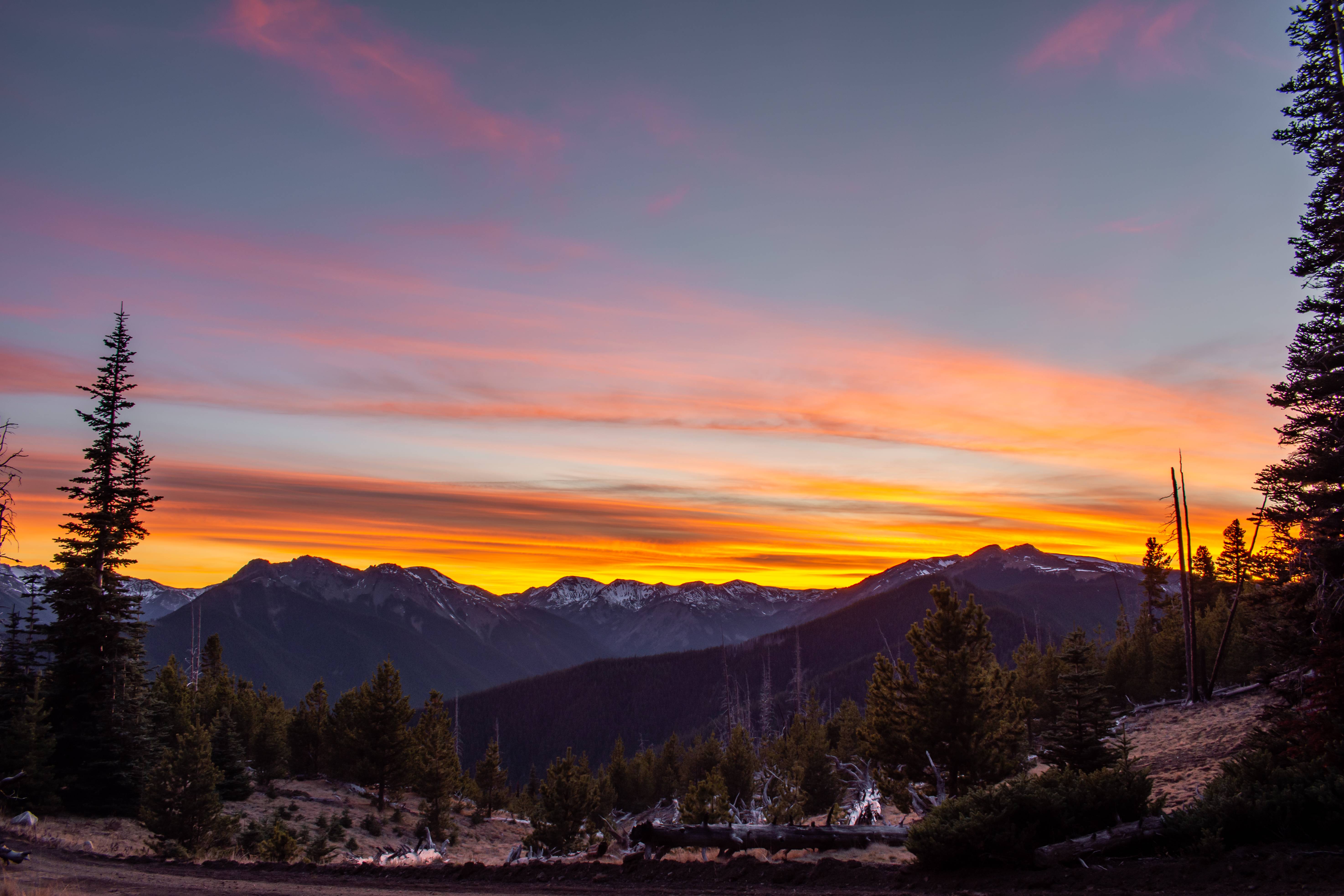
Back at camp.
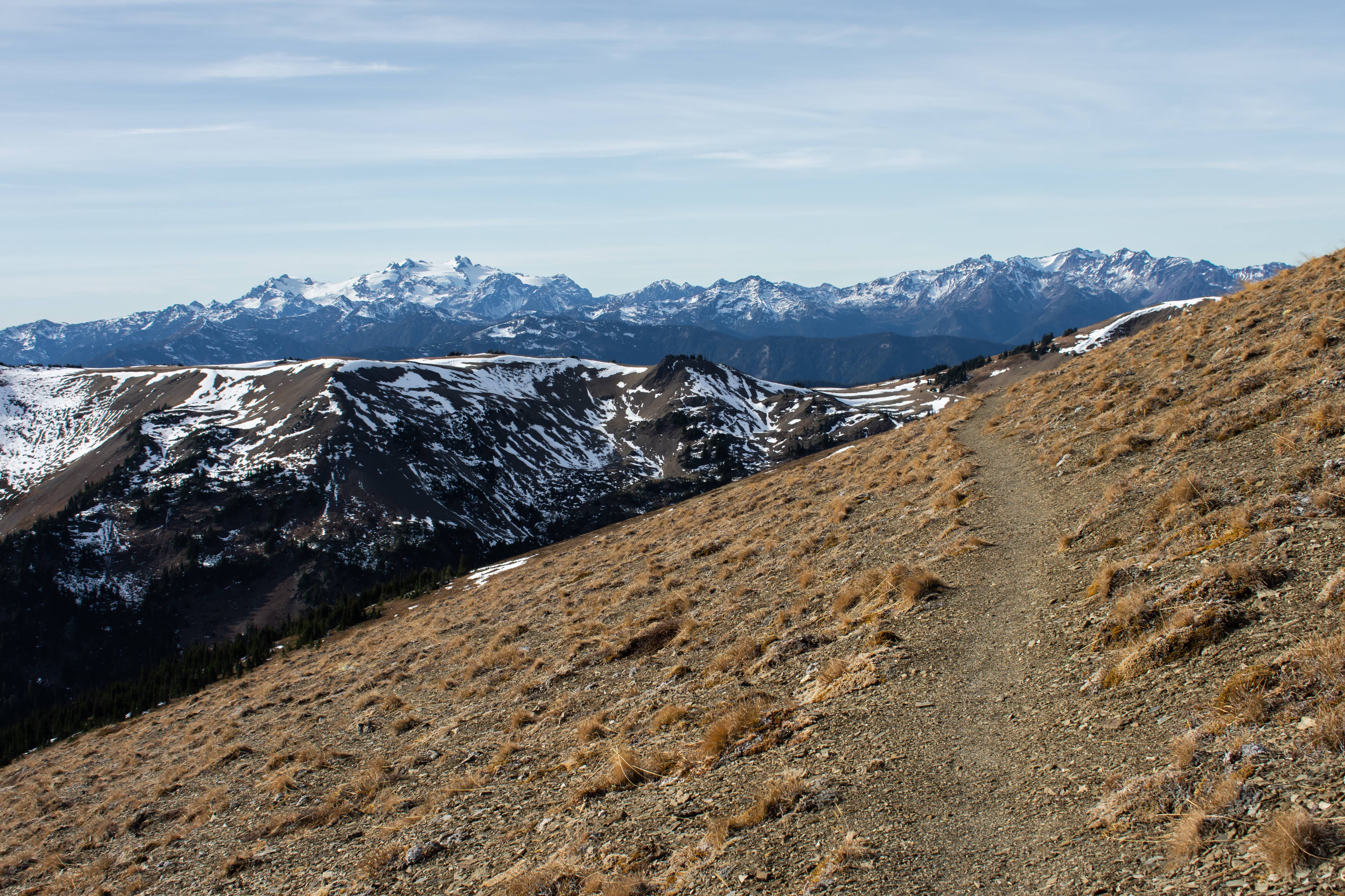
The morning of we packed up and drive the .4 miles down to the trail head which leads to Obstruction Point (which is now a closed road for the season)
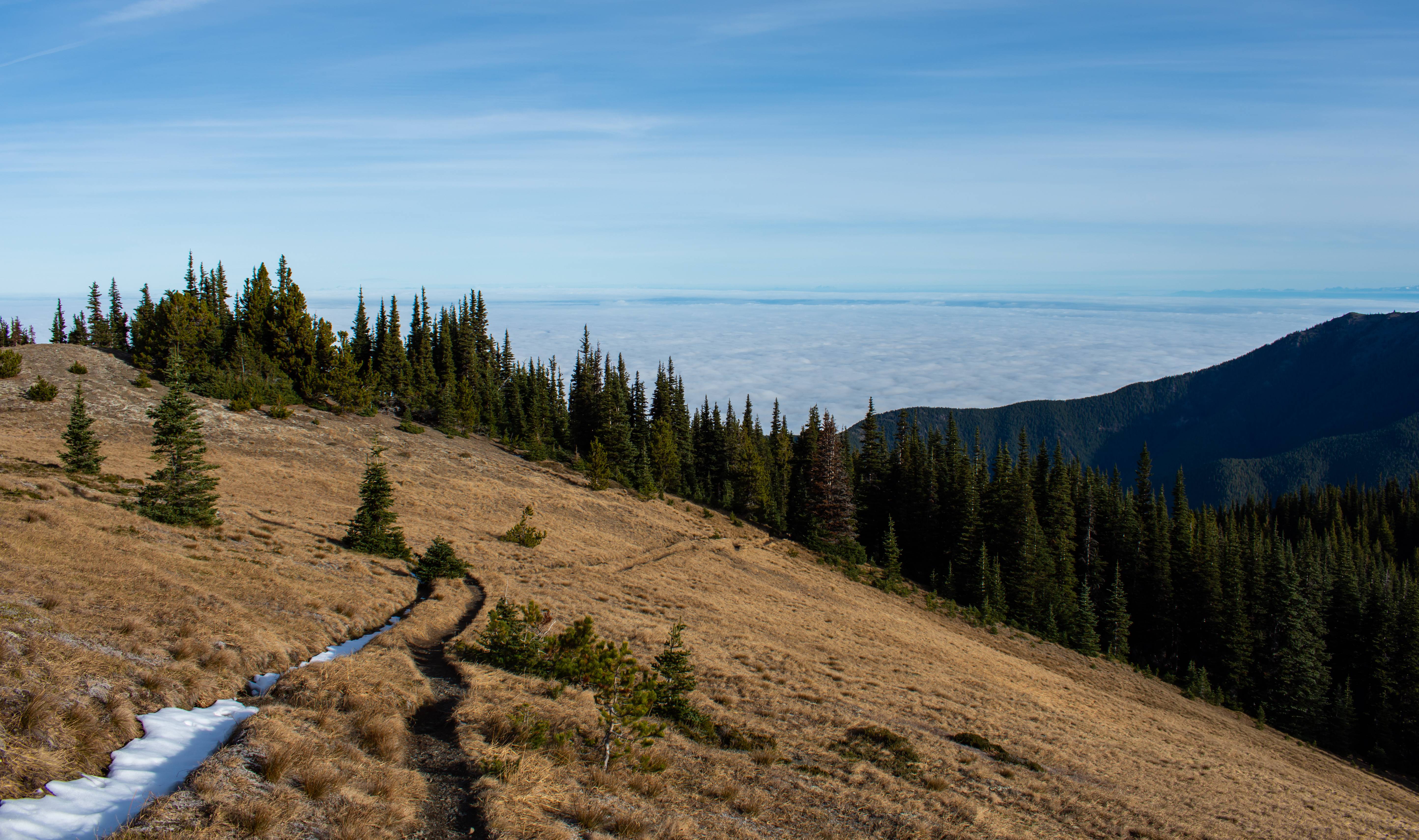
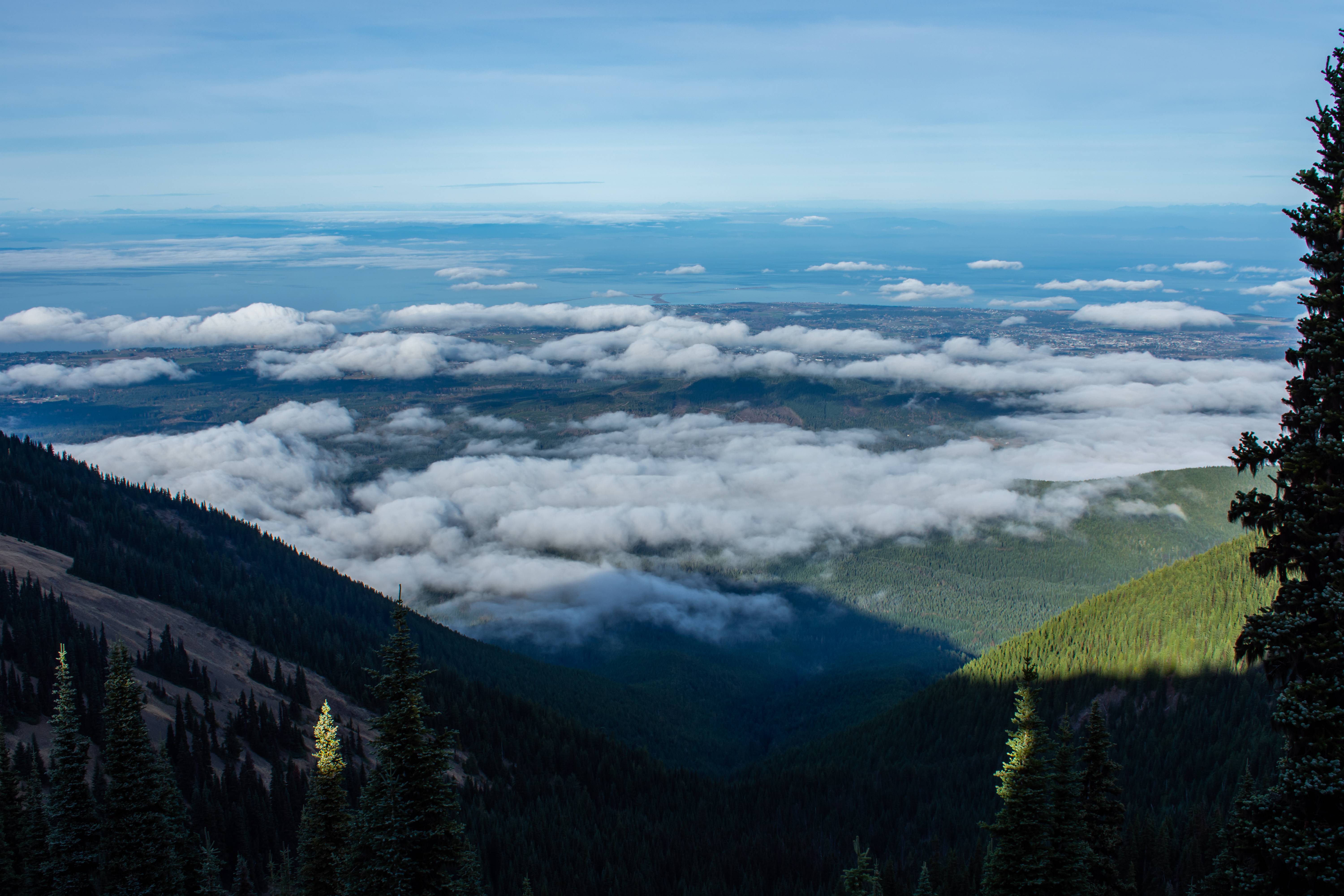
Incredible inversion. It was really warm out.
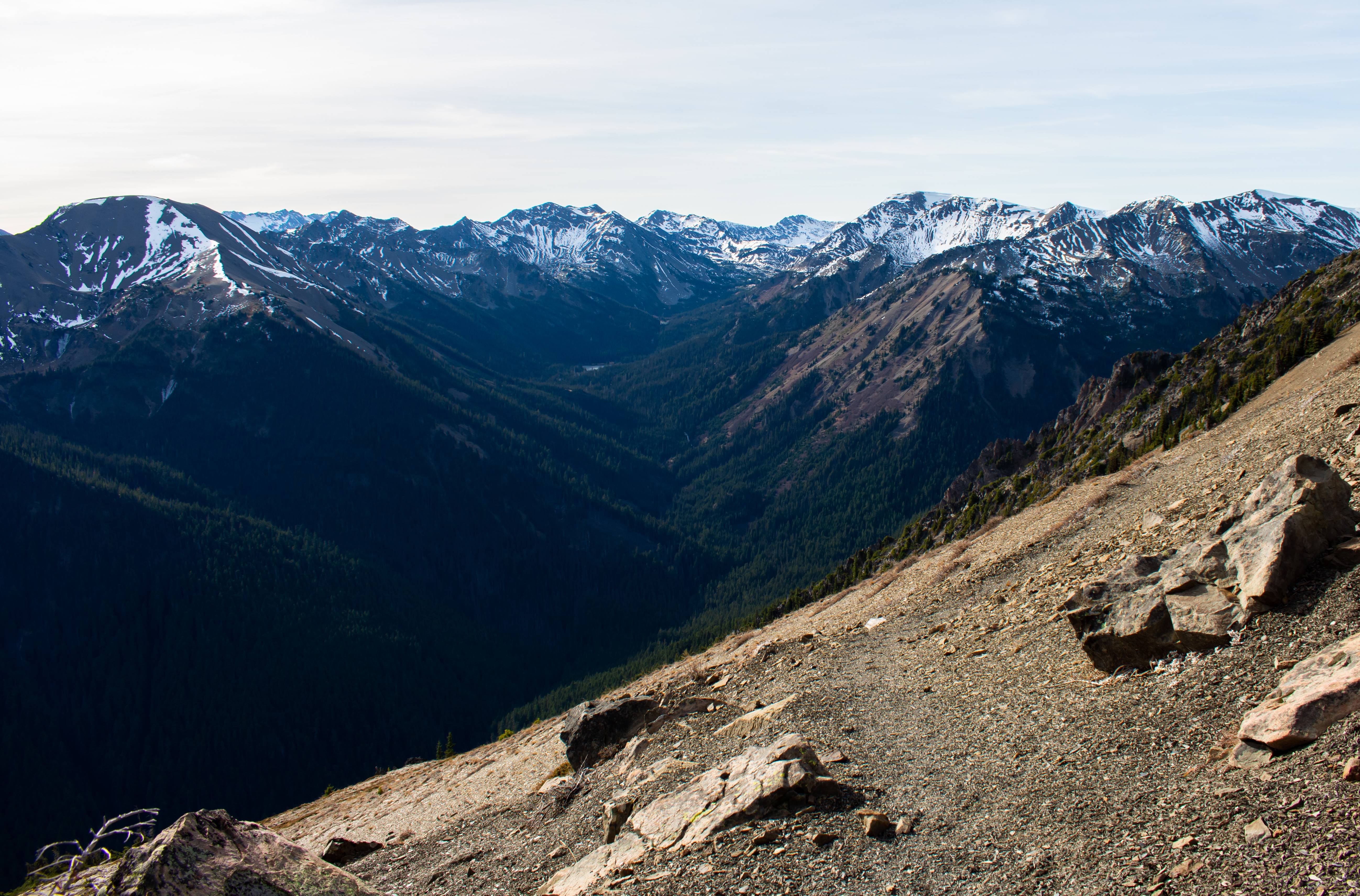
Rounding the bend. Cant believe the clouds robbed me of this on my last trip!
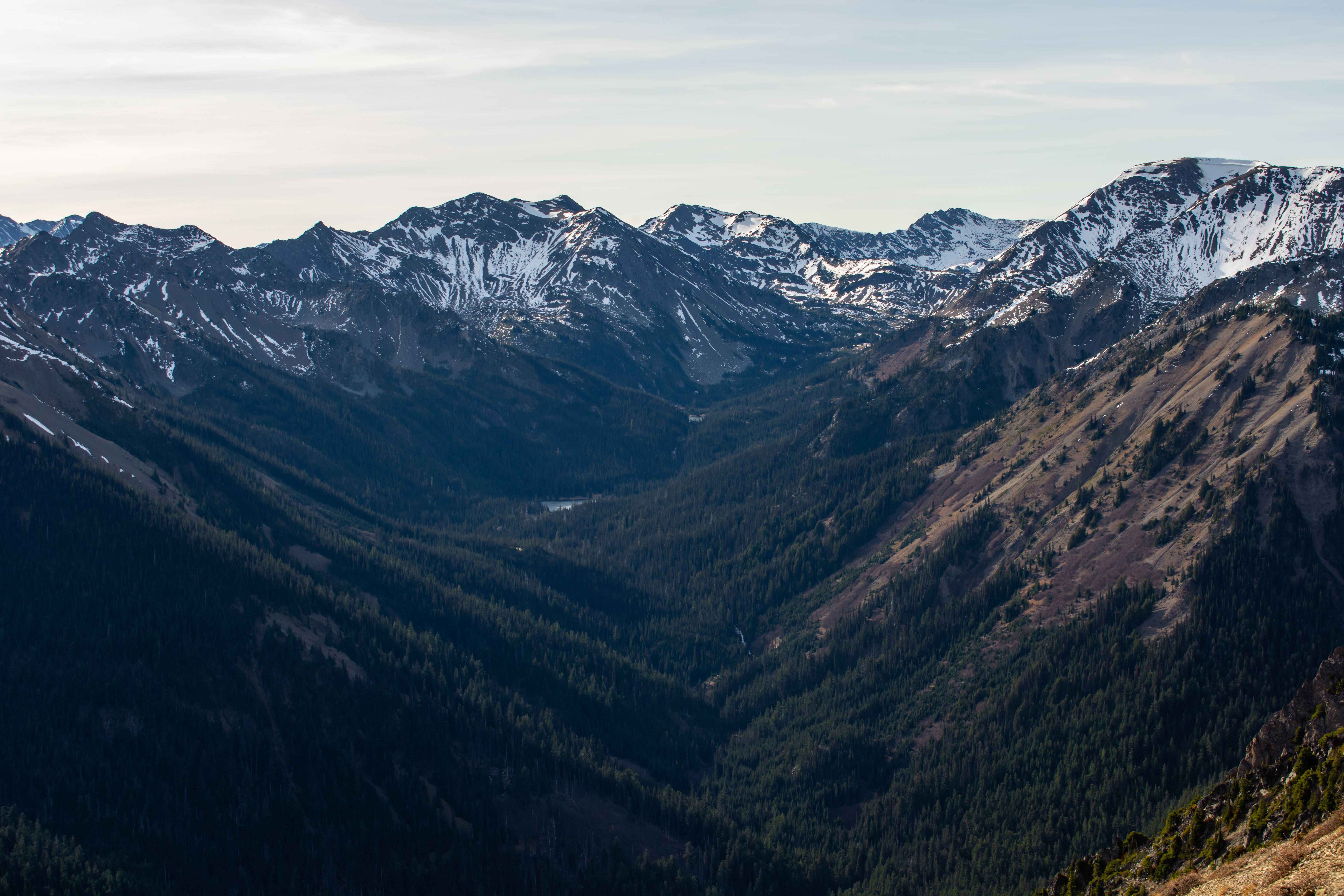
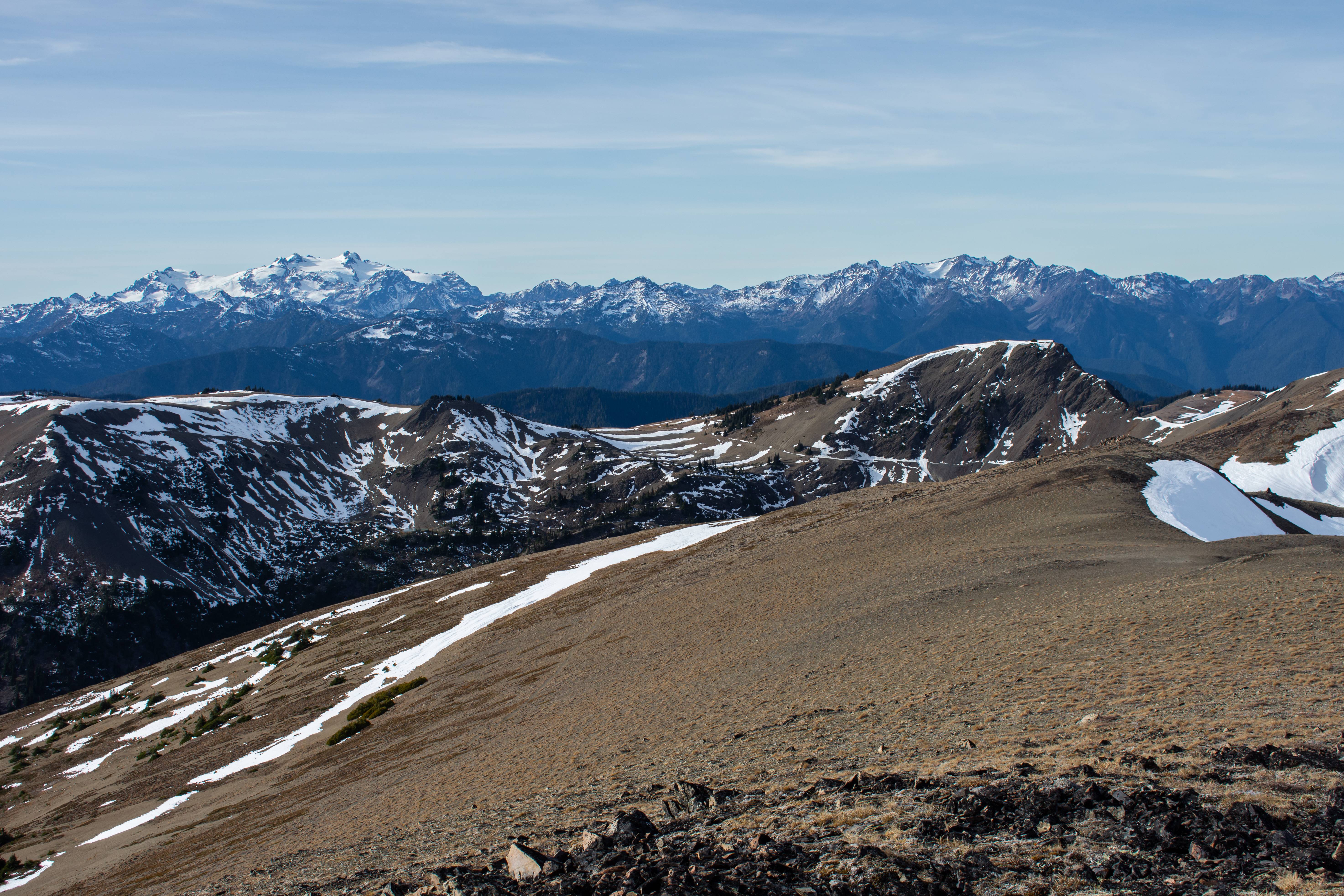
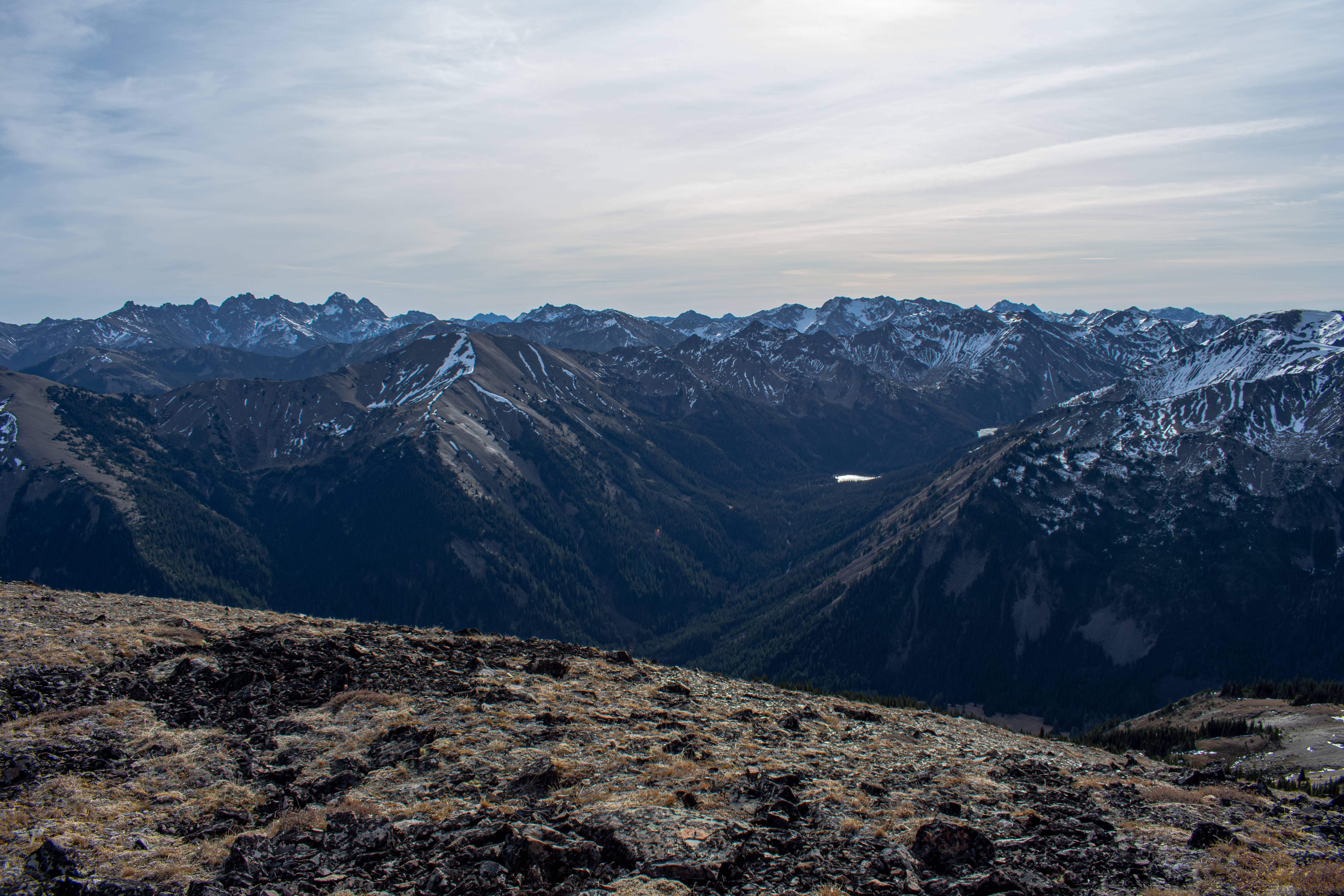
Grand Valley. Last trip I ended up walking through there. It was a lot greener and livelier in August haha.
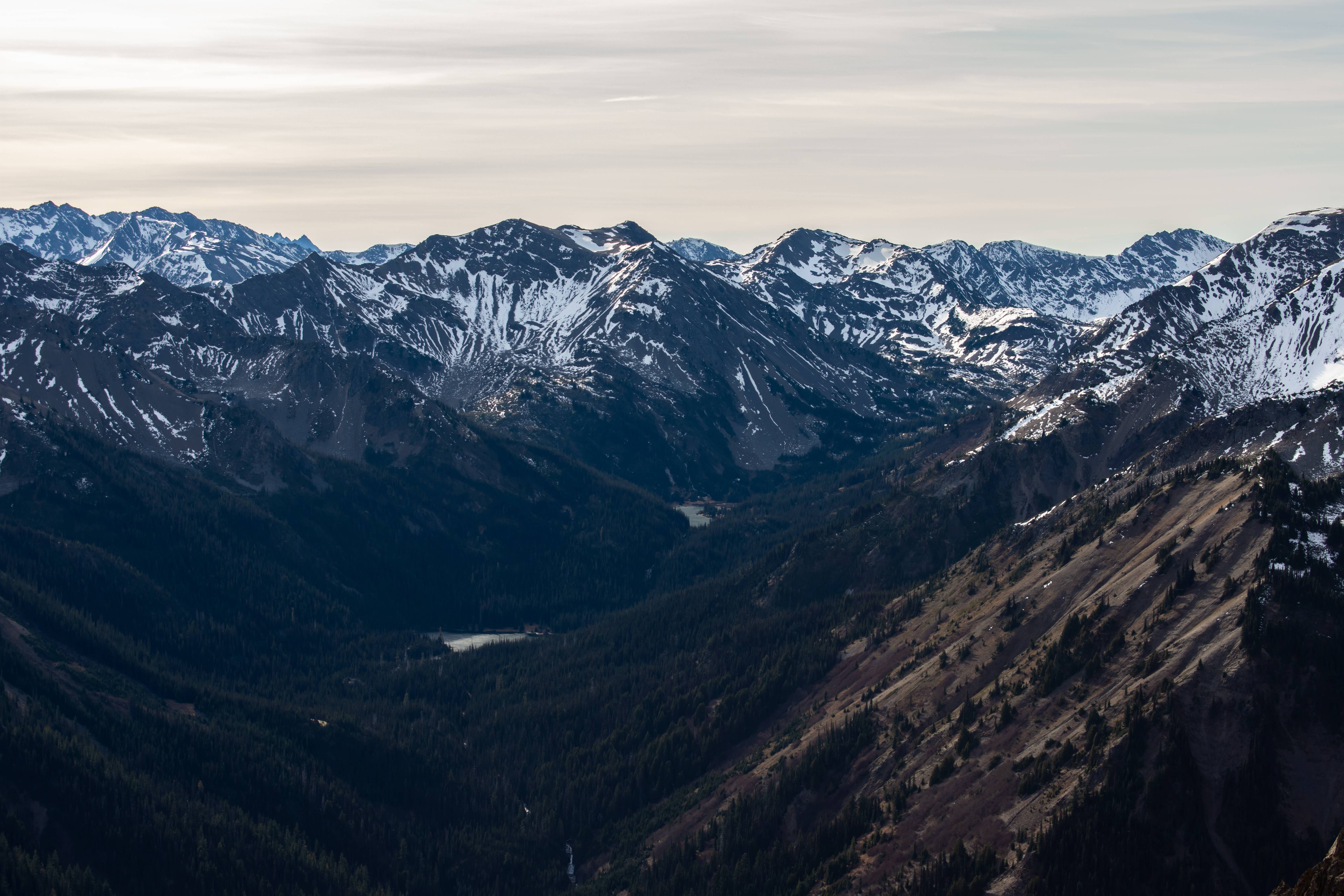
Grand Lake and Moose Lake were frozen solid. Must have been much MUCH colder in the valleys as it was REALLY nice at camp @ 5000+ feet. Pressure systems are weird.
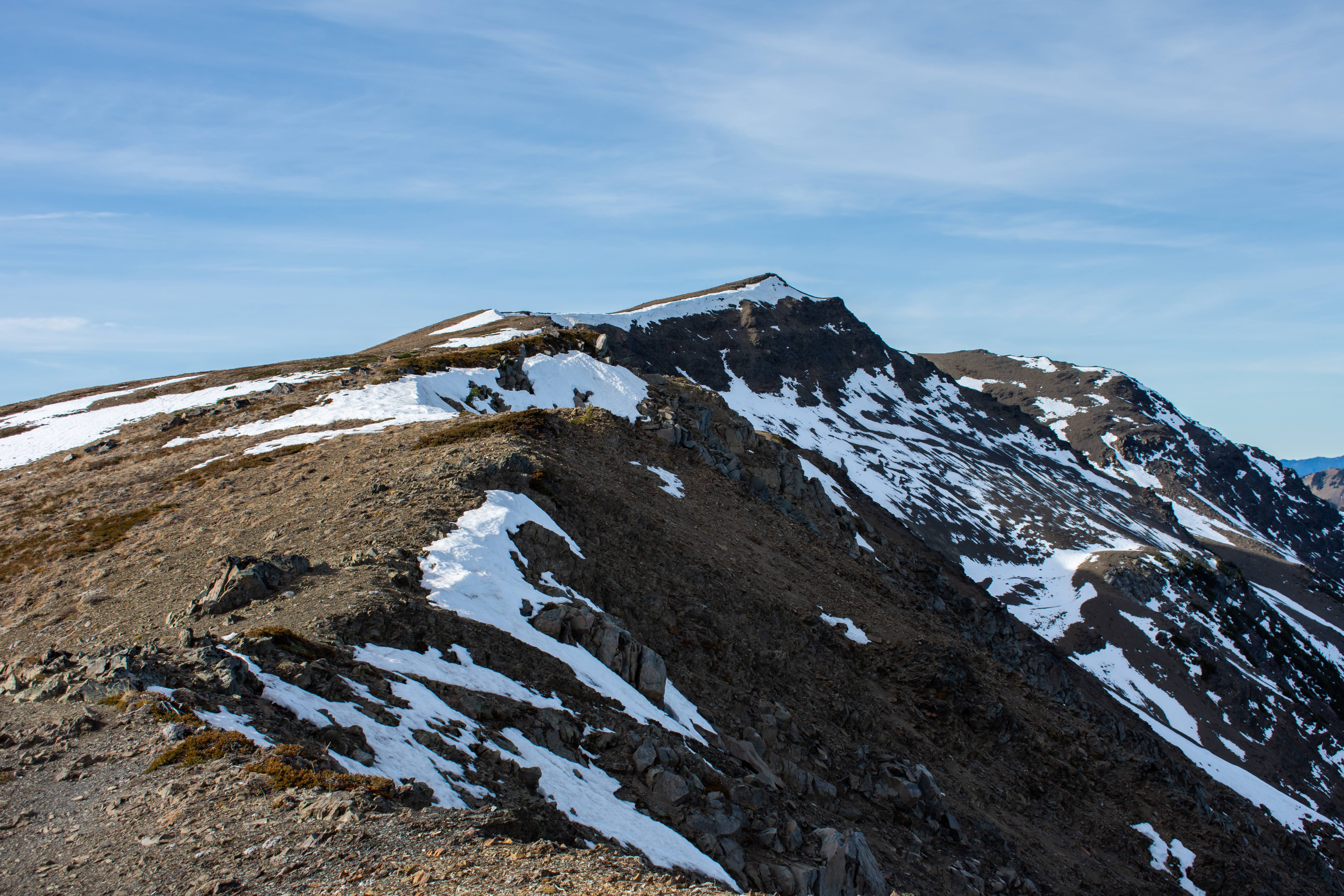
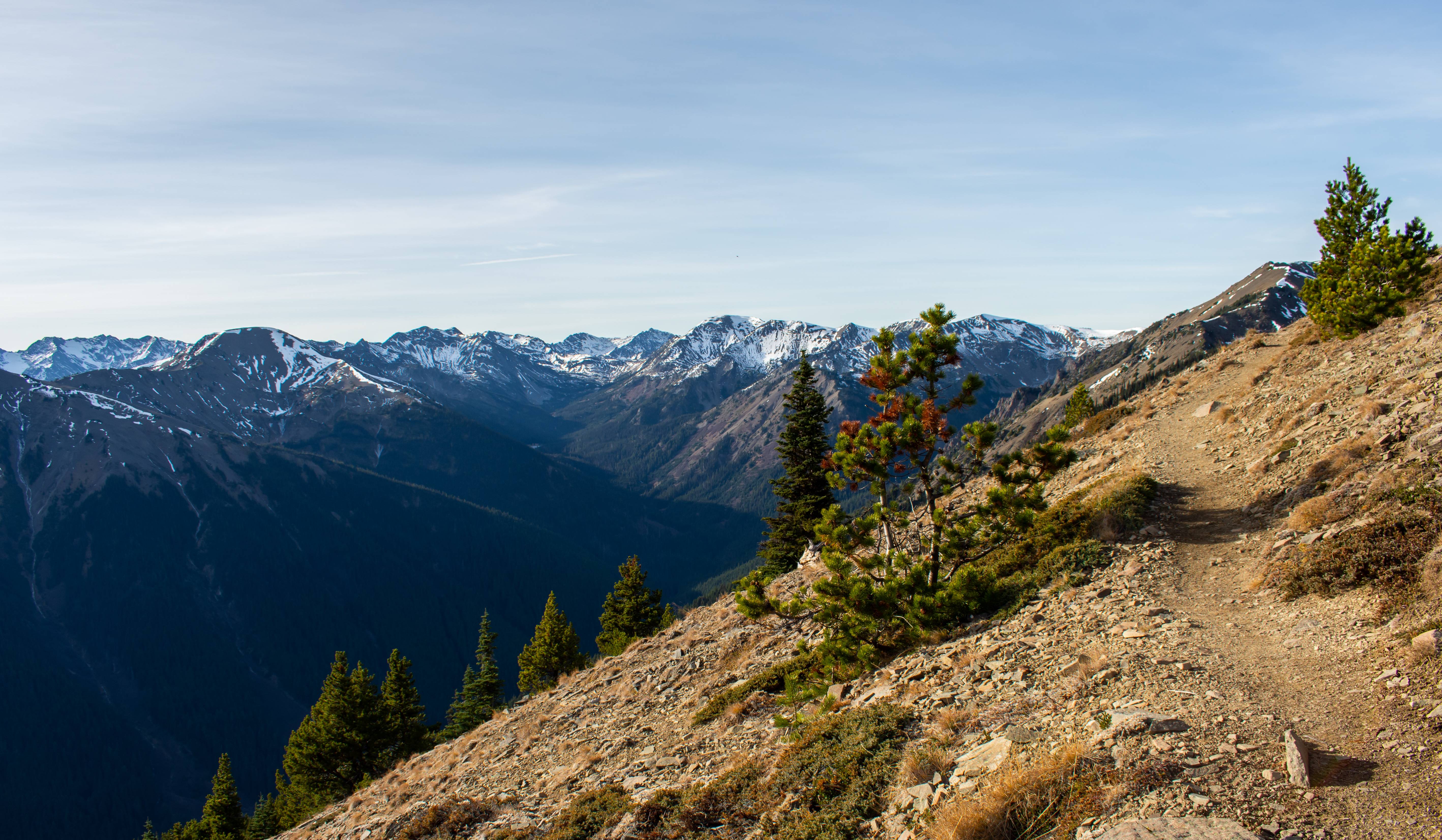
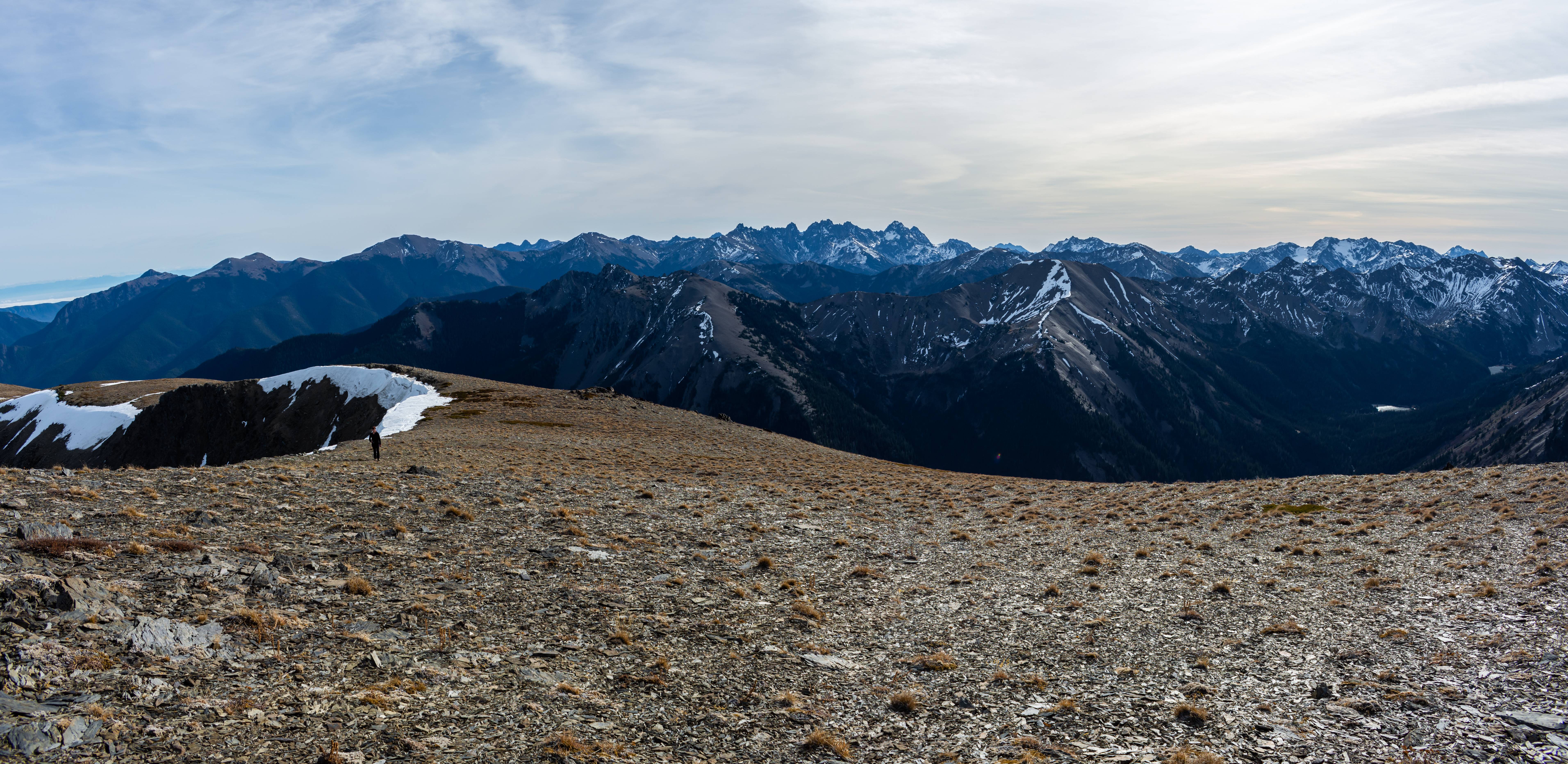
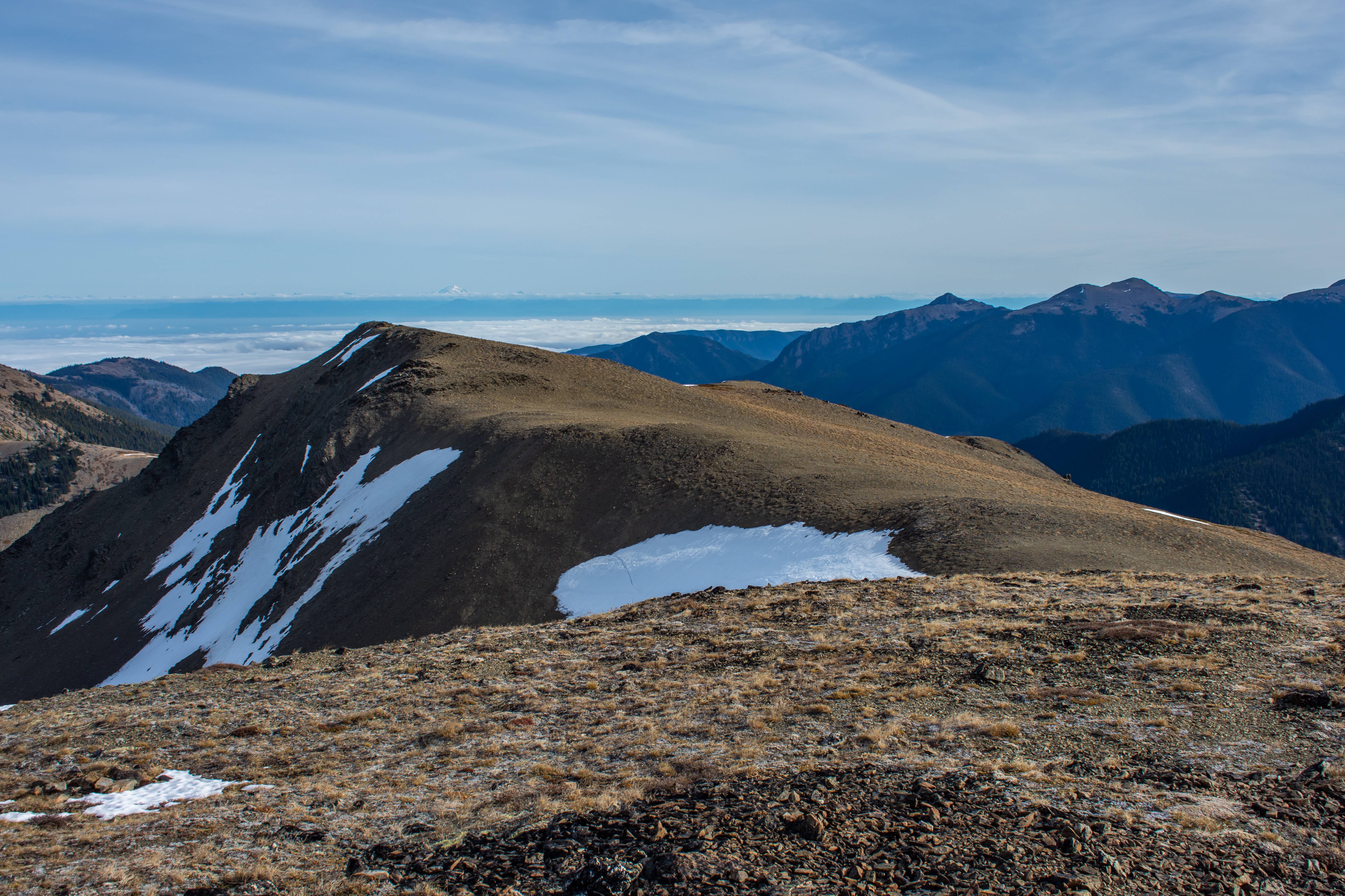
There is the summit of Elk Mountain. Deceivingly close but still some-what far.
Mount Olympus in the distance. Our turn off point to the right of camera.
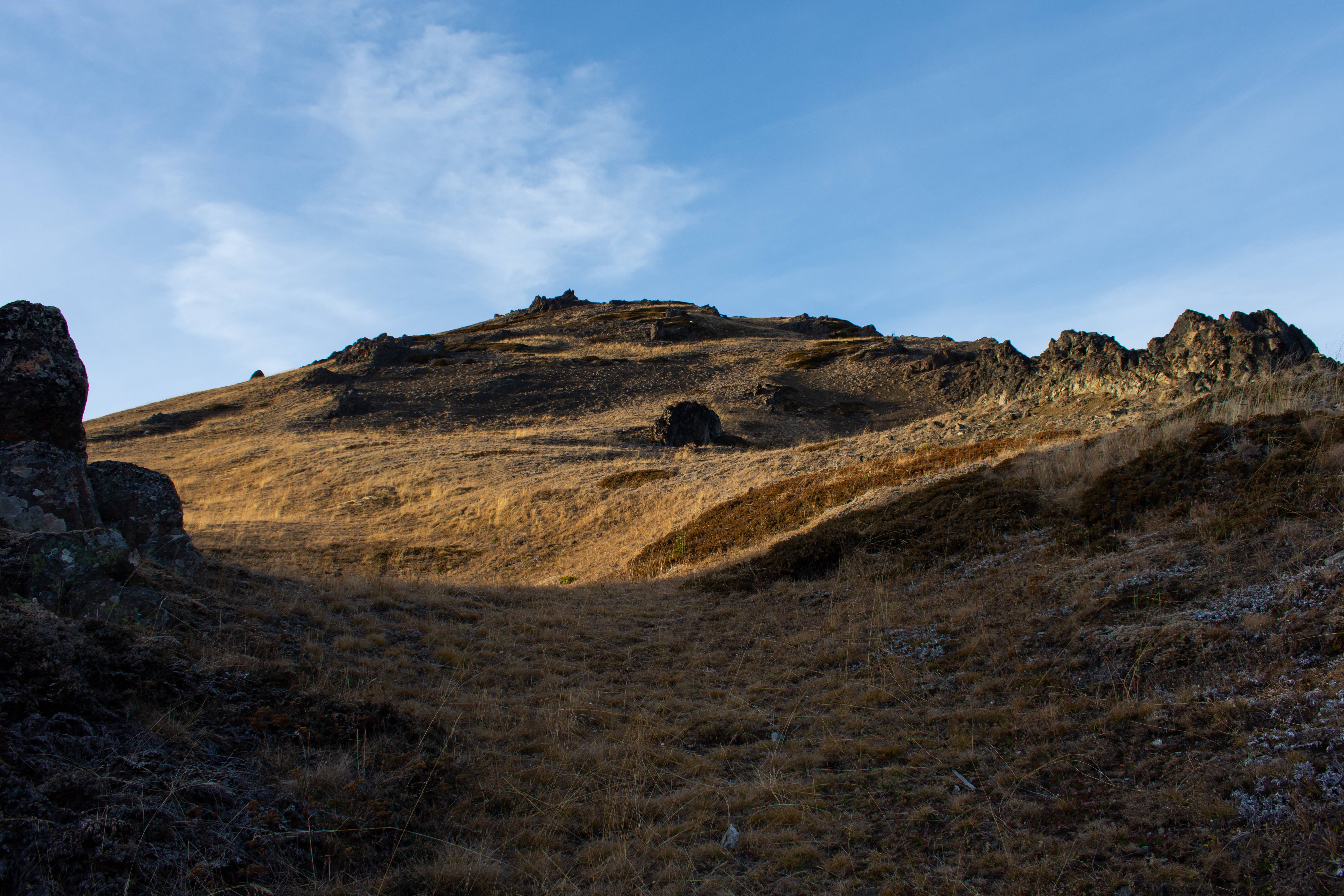
Off the trail and up we go.
Up and to the right!
Summit of Elk mountain. You can see the snow line the trail in the distance. It leads right to the Obstruction Point TH
Looking back the other way.
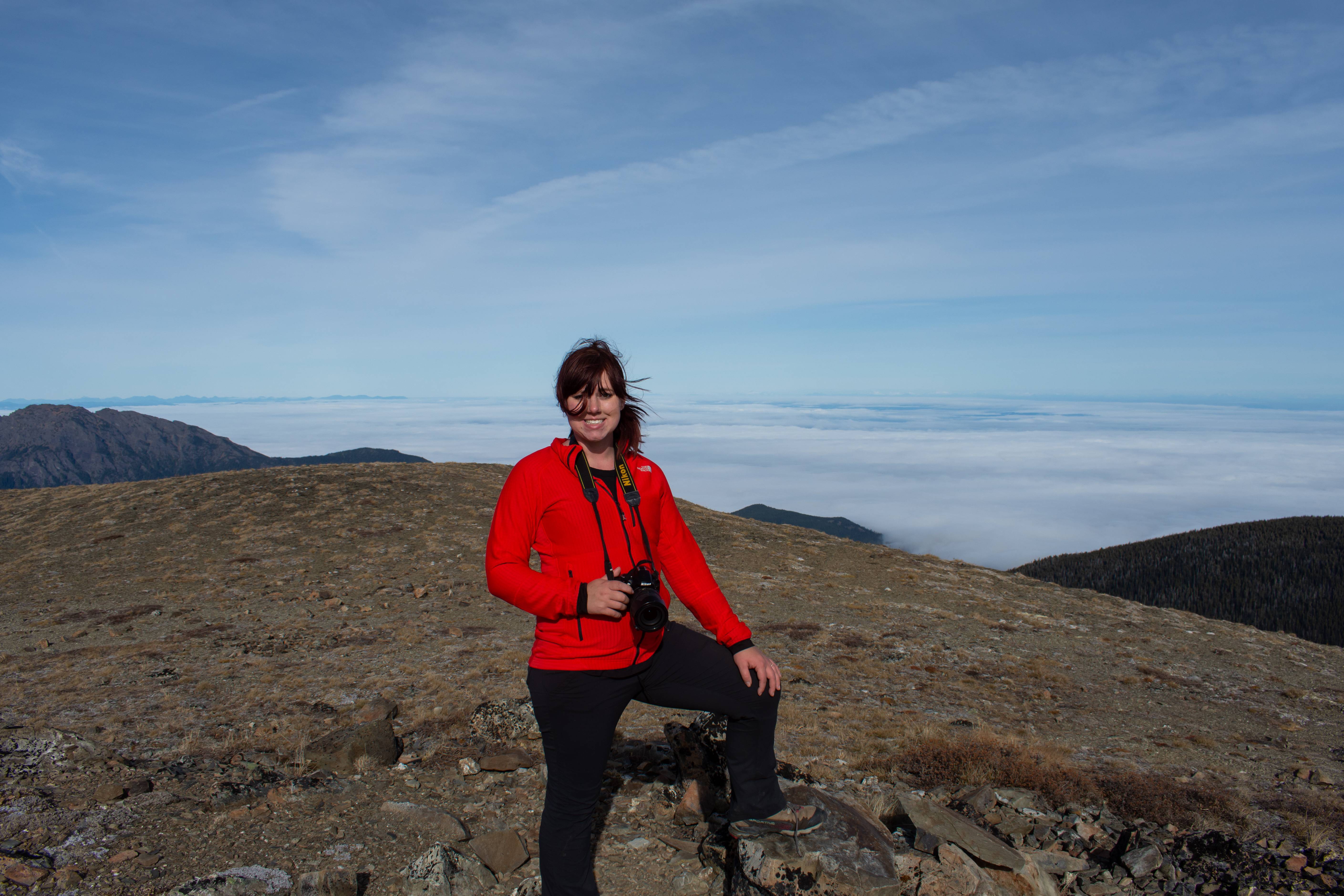
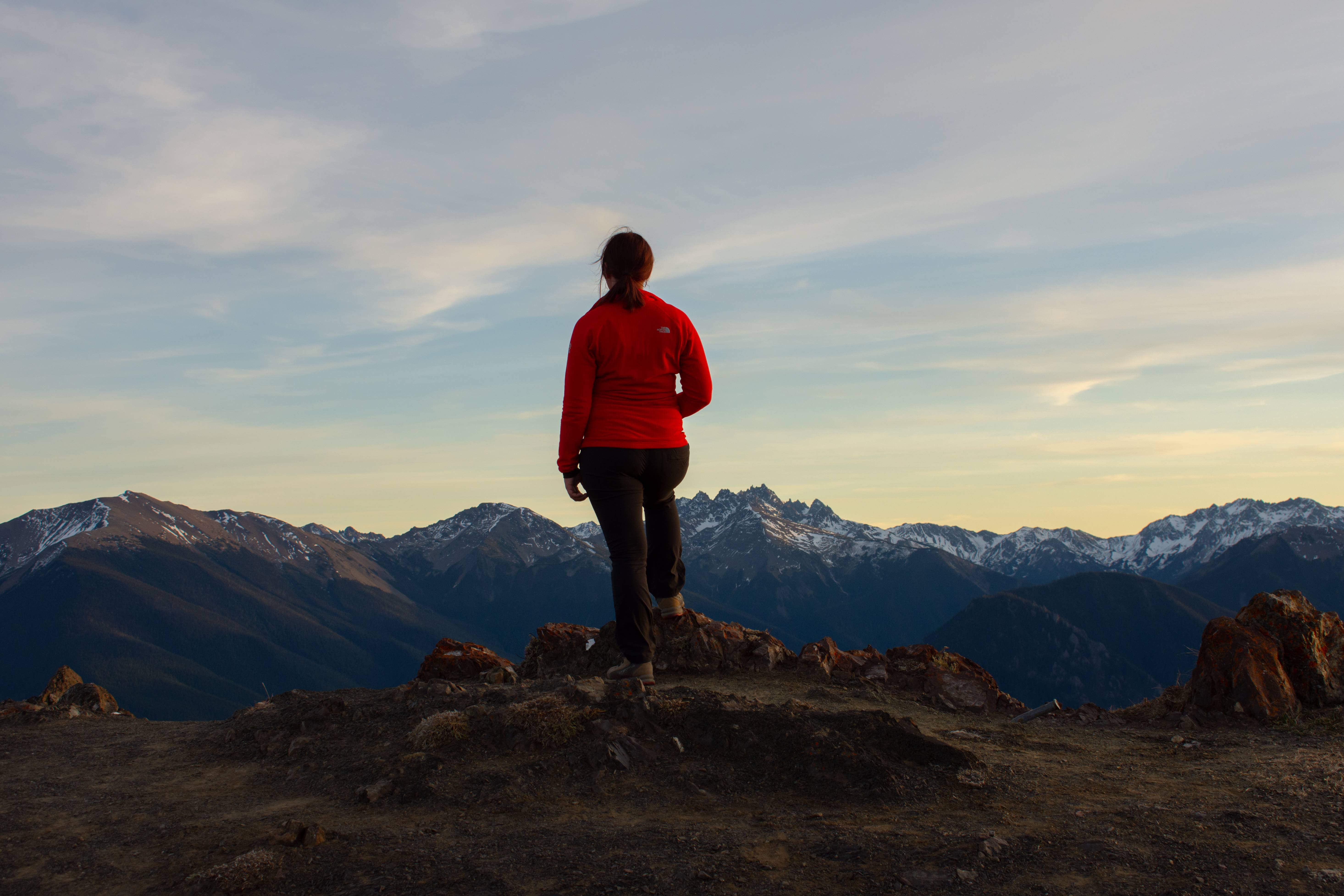
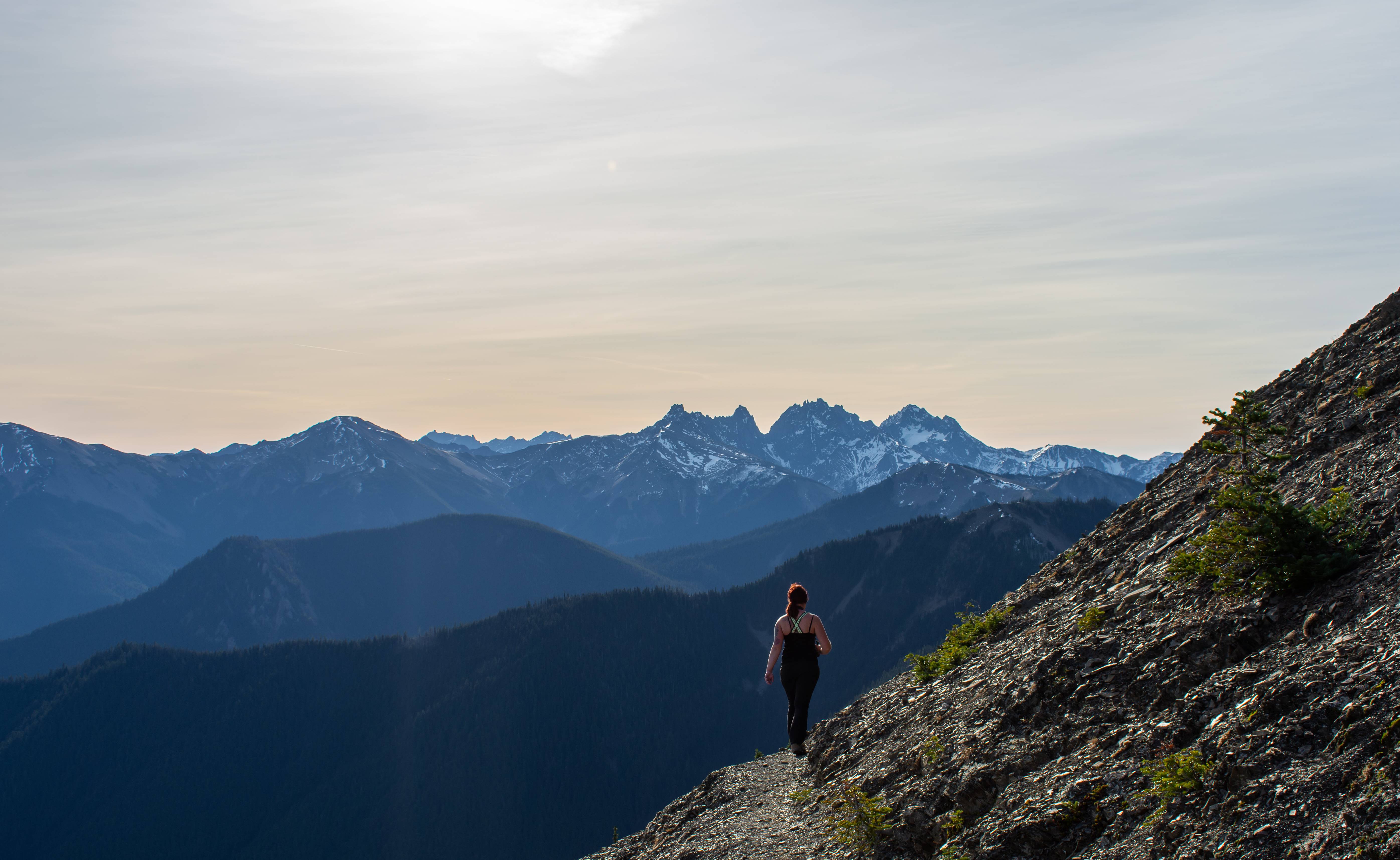
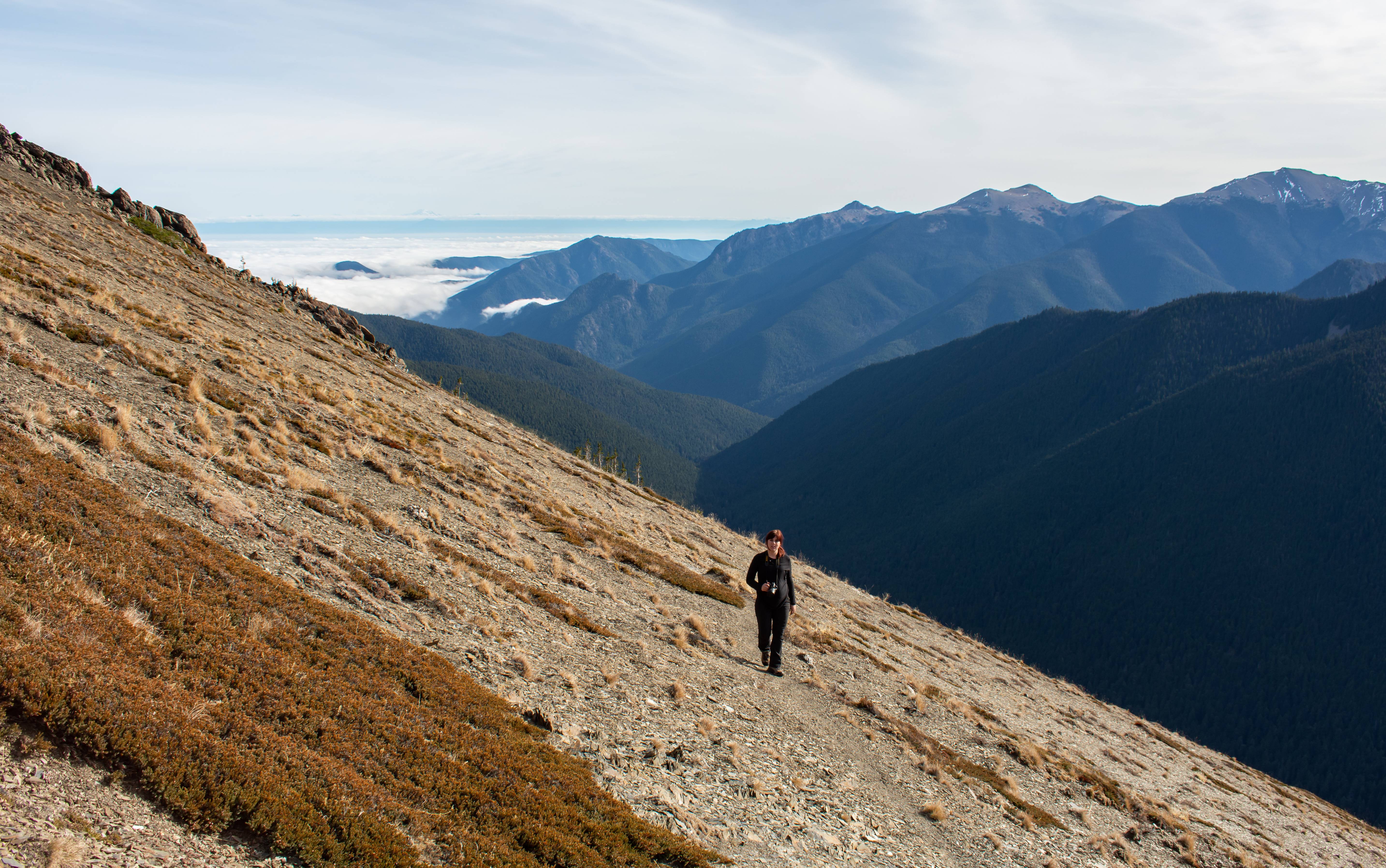
Windy summit but thankfully not even close as windy as our sierra trip!
Grand Valley again
Headed back the inversion is gone.
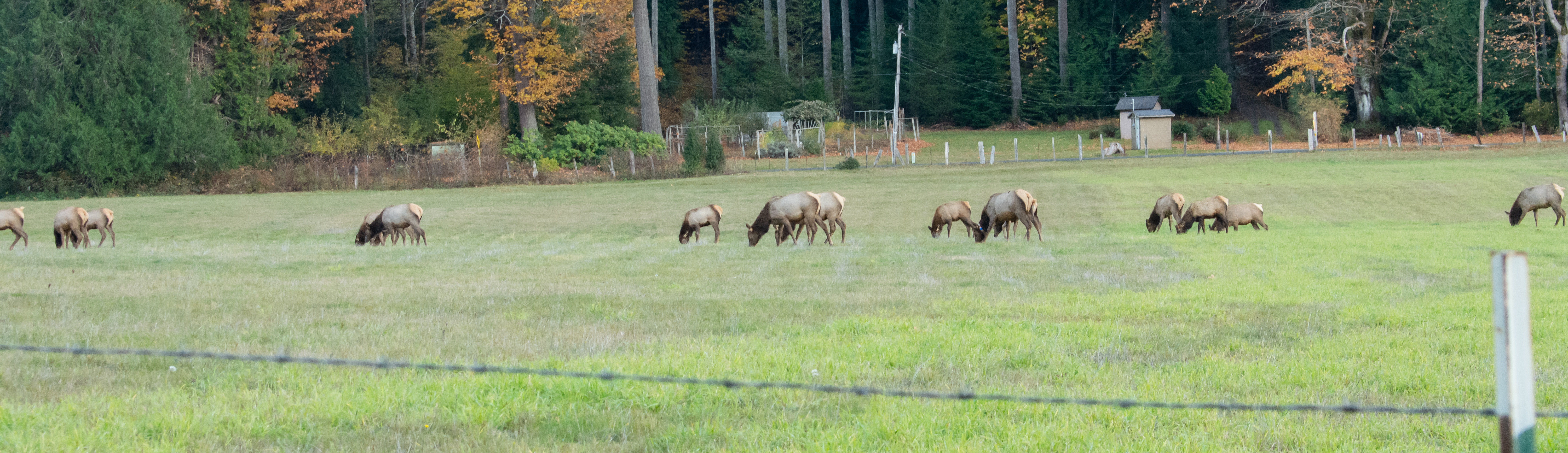
Elk are down in the town again.
I cant wait for spring and early summer.
Day Hike Total Miles : 11.6
Total Net Elevation Gain : 2970 ft
We arrived at Deer Park CG where the trail starts and nabbed a pretty awesome camp spot. It was pretty vacant, the summer crowd was all gone. After setting camp up we went to the summit of Blue Mountain which was less than 1 mile and around 600ft of elevation gain away.
Camp spot.
Headed through dead late fall meadows
Very eastern WA looking. Summit ahead.
At the top of blue mountain. Long sand bar on left is the dungeness spit and the big mountain 88 miles away is Mount Baker with the North Cascades off to the right. The local relief of the olympics is trippy. We could literally see 0 feet above sea level from our 5900ft summit lol (in example the Tetons have 6800ft of local relief)
As I mentioned in my previous trip here, the elevations aren't grand in the olympics but the mountains due to local relief look and the lower alpine zones look freaking huge.
Looking directly east. Big white mountain center left of the photo is Glacier Peak which is 100 miles away.
Looking NW into Canada. Freighters leaving port.
Headed back to camp. Gnarly alpenglow on Glacier Peak and the North Cascades
The Needles
Same meadow we walked through. Warm colors of the pacific sunset gave it more life.
Back at camp.
The morning of we packed up and drive the .4 miles down to the trail head which leads to Obstruction Point (which is now a closed road for the season)
Incredible inversion. It was really warm out.
Rounding the bend. Cant believe the clouds robbed me of this on my last trip!
Grand Valley. Last trip I ended up walking through there. It was a lot greener and livelier in August haha.
Grand Lake and Moose Lake were frozen solid. Must have been much MUCH colder in the valleys as it was REALLY nice at camp @ 5000+ feet. Pressure systems are weird.
There is the summit of Elk Mountain. Deceivingly close but still some-what far.
Mount Olympus in the distance. Our turn off point to the right of camera.
Off the trail and up we go.
Up and to the right!
Summit of Elk mountain. You can see the snow line the trail in the distance. It leads right to the Obstruction Point TH
Looking back the other way.
Windy summit but thankfully not even close as windy as our sierra trip!
Grand Valley again
Headed back the inversion is gone.
Elk are down in the town again.
I cant wait for spring and early summer.