Old Sheffield/Spencer Flats Road end (wellhead) questions

Writhdar

Member
Joined
Dec 14, 2015
Messages
46
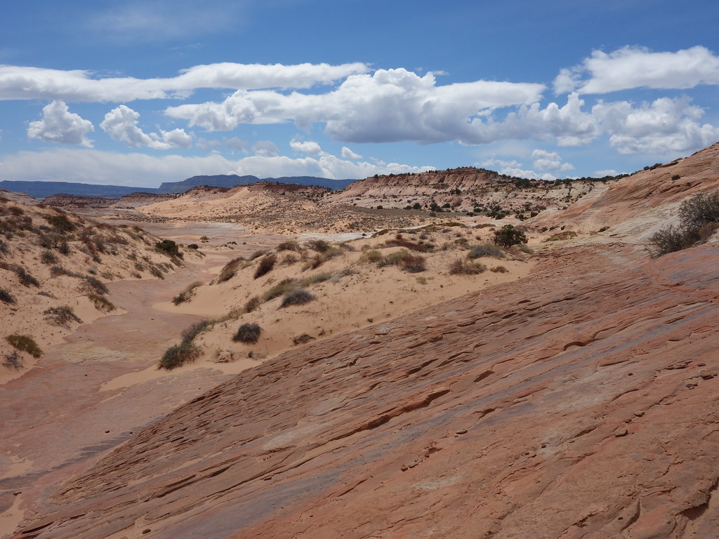
1) the main road turns left just before its end at the wellhead - there is a track that continues straight (SW direction) - is it driveable or is it deep sand?

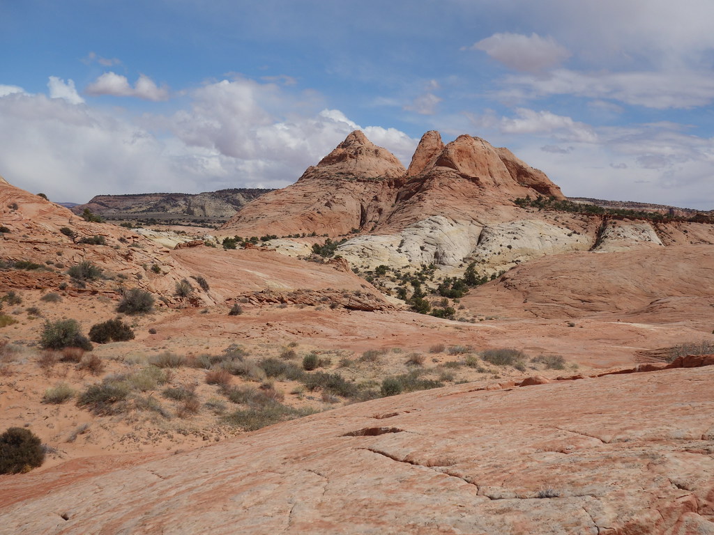
2) looking on Google Earth, from the wellhead, there is a stretch of slickrock on the west side of the Red Breaks that heads SSE to Harris Wash - has anyone hiked this section and any thoughts on it?

Thank you
 
Thank you.

Last month, I led some hikes of which one was in the area of your first picture. Some of the group got pretty high up on Red Pyramid but didn't summit (didn't go around to try the south face as we were heading towards Tunnel & Zebra)

I asked the questions as on the drive home (Durango) from an Escalante trip, I like to hike a few hours for curiosity and/or check out a possible full day hike. (Assuming I still have enough energy to move.) The track I mentioned in the first question looks like it leads to a mostly slickrock route to the east side of the Red Pyramid - 5894 area and canyon on 5894's N side - could be an interesting short hike

Regarding the slickrock west of Red Breaks and heading down to Harris Wash, have you ever done it?
 
I have not. I've only been in the canyon/slickrock/dunes that drain into Zebra slot. I am curious about those canyons further east closer to Reb Breaks.
 
Back
Top