John Morrow
Member
- Joined
- May 22, 2015
- Messages
- 1,102
The final installment of my 2021 Utah/Arizona Spring Trip. I departed the San Rafael Swell, leaving my friend David to other Swell summit adventures, and made my way to Escalante Outfitters. Pizza, shower, and cheap tent pad awaited. I love that place. Decided I'd join the living and simply spend both nights camped there in the yard.
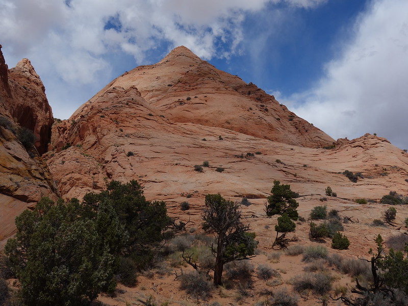
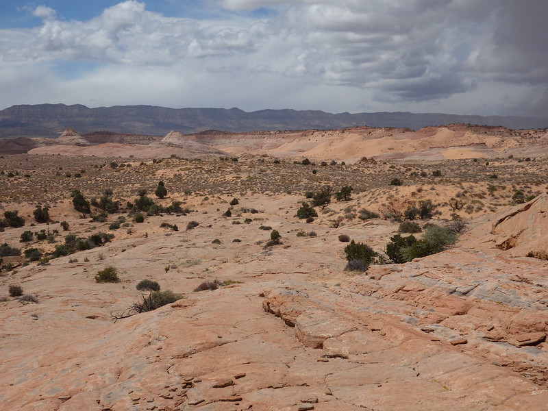
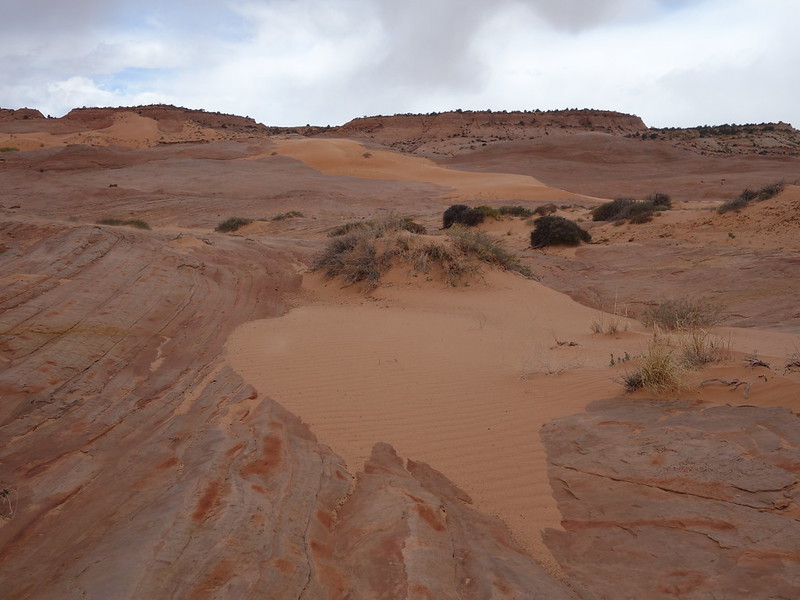
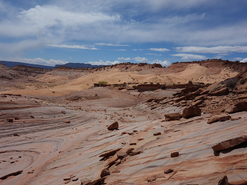
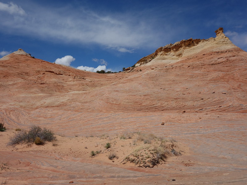
April 15 I did a nice loop in the nowhere land between Phipps Wash, the Red Breaks, and Harris Wash from the Sheffield Road. But I really had the Red Pyramid (local name) in mind. I've seen it now for the past ten years and few people report going there. The day turned into a nice triangular loop over dunes and stone.
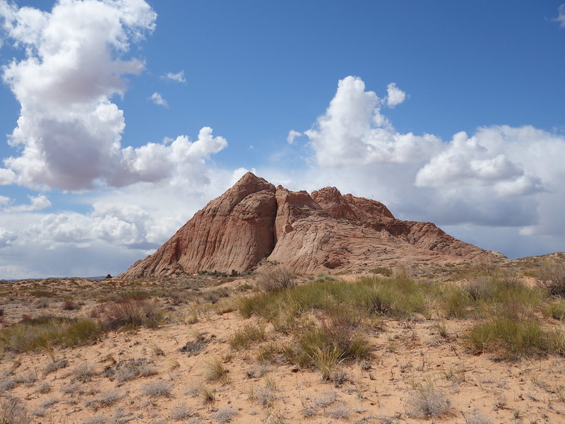
Destination: The Red Pyramid by John Morrow, on Flickr
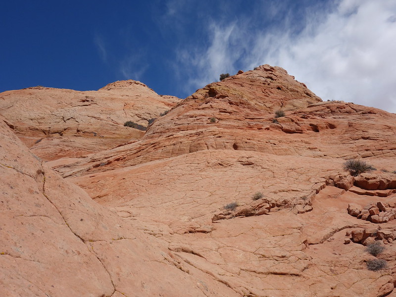
South face route by John Morrow, on Flickr
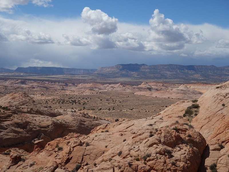
Darkening skies over 50 Mile Mtn. by John Morrow, on Flickr
back down by John Morrow, on Flickr
moving across by John Morrow, on Flickr
wildflower seed in the sand and stone by John Morrow, on Flickr
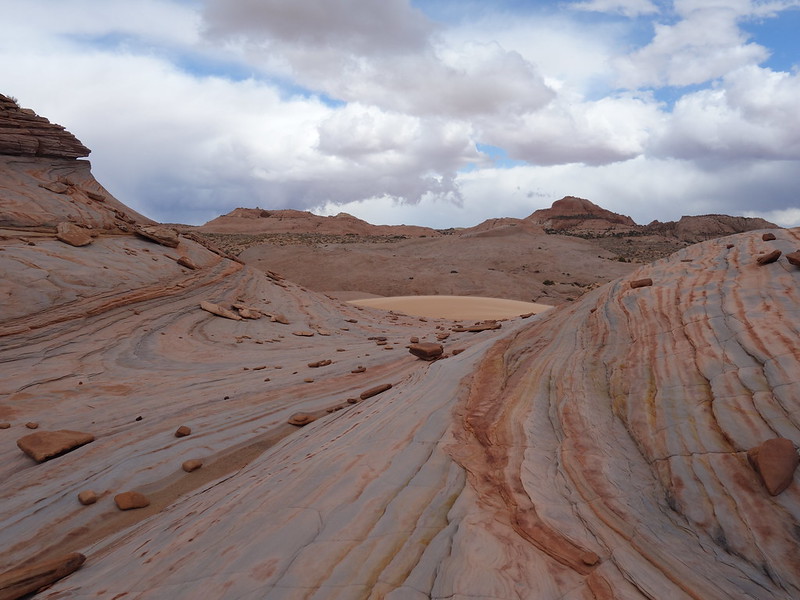
great bedding by John Morrow, on Flickr
high dunes by John Morrow, on Flickr
color by John Morrow, on Flickr
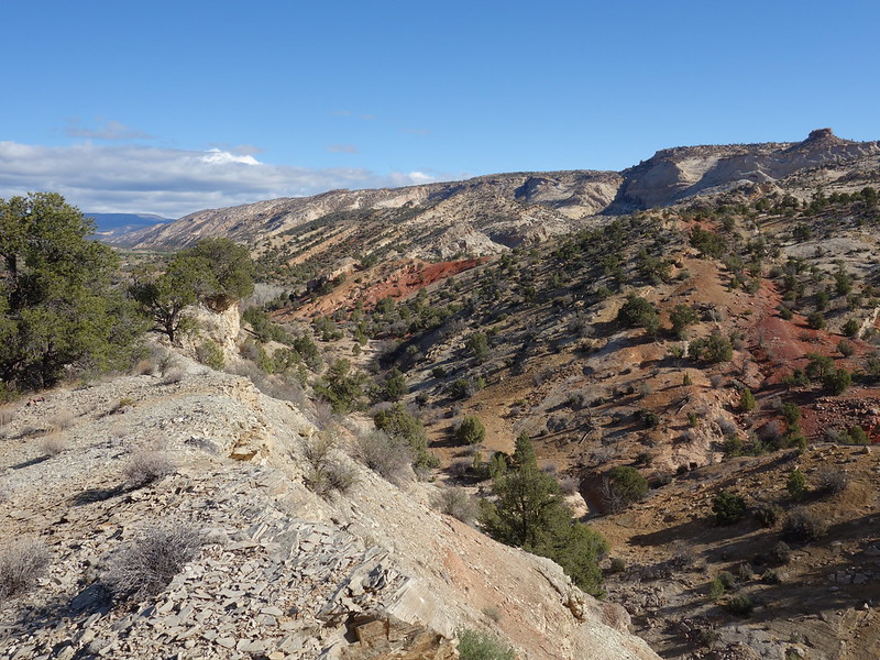
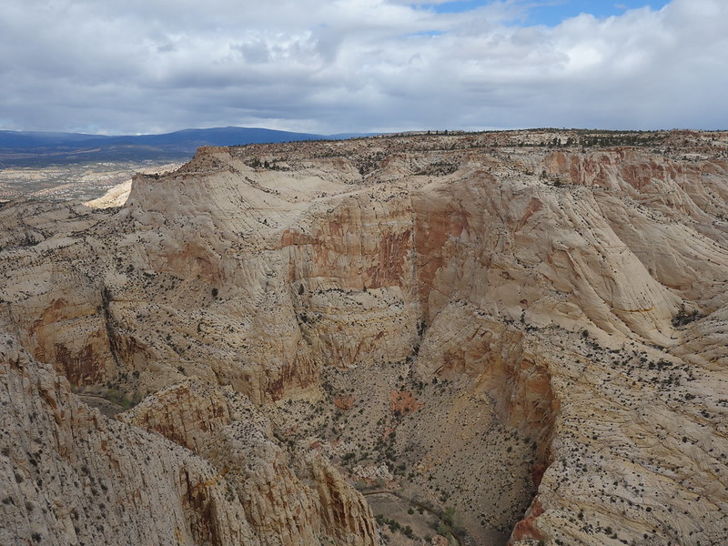
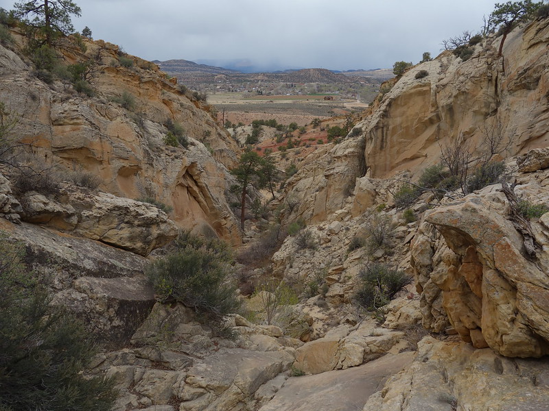
April 16: Knowing I need to start driving toward Kanab, I packed up and found an off-the-beaten-path, hike to a highpoint and a great deep canyon view. From the Escalante River TH in town, I west eastward up one canyon draining Big Flat, over to the fabulous rim of Esclante river Canyon, and descended another canyon. Fun empty country walk in an ever increasingly busy Escalante.
Escalante Trailhead start by John Morrow, on Flickr
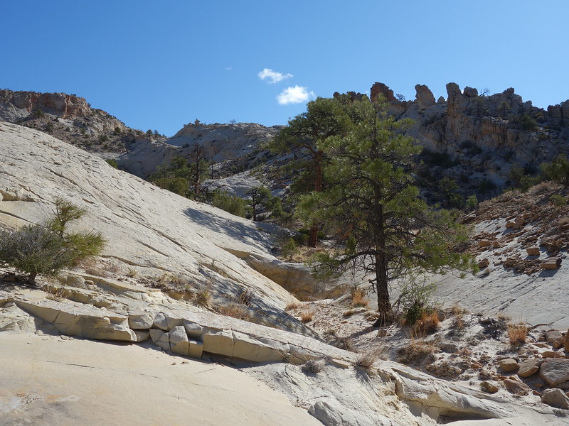
Upward in canyon by John Morrow, on Flickr
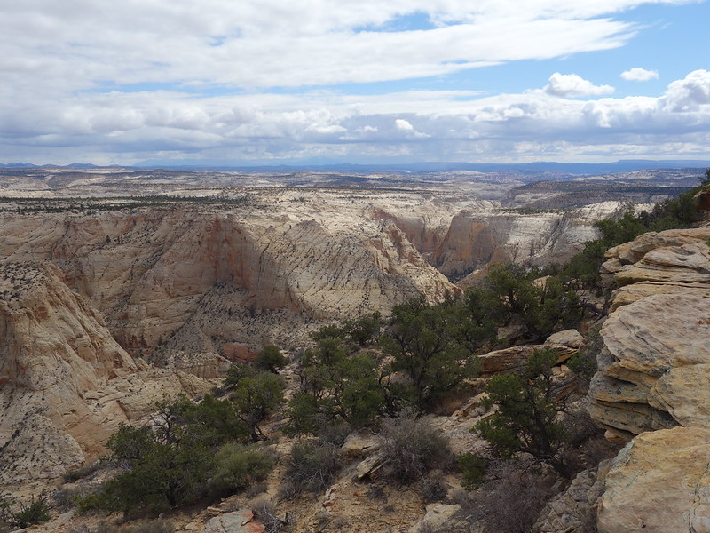
Rim view! by John Morrow, on Flickr
last look to north by John Morrow, on Flickr
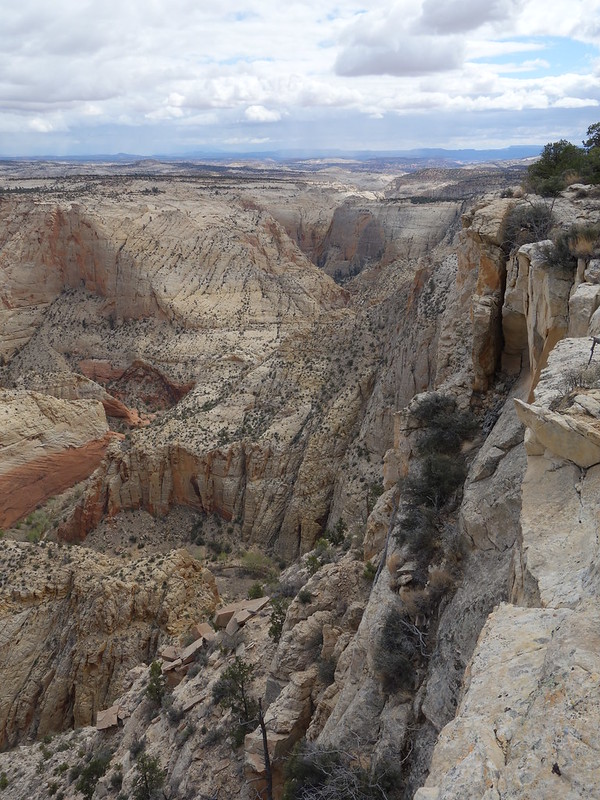
On the rim by John Morrow, on Flickr
deepening canyon by John Morrow, on Flickr
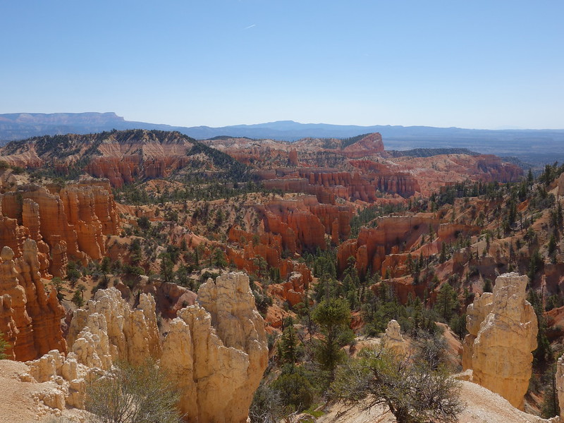
I still had time for more walking so I stopped off at the Mossy Cave Trailhead on Hwy 12 in Bryce National Park. From the Fairyland I had twice failed to get to the summit of the Sinking Ship, this time I was smart and made it via the gentle side at the head of Jolley Gulch. A couple pairs of footprints but nobody to be seen. Threatening clouds added to the atmosphere. from the Sinking Ship I ran the ridge over Jolley Gulch to make a loop. Great to be somewhere I had yet to be within Bryce.
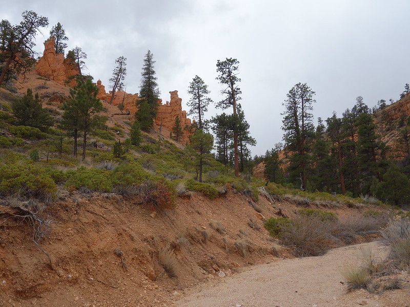
Jolley gulch beyond highway by John Morrow, on Flickr
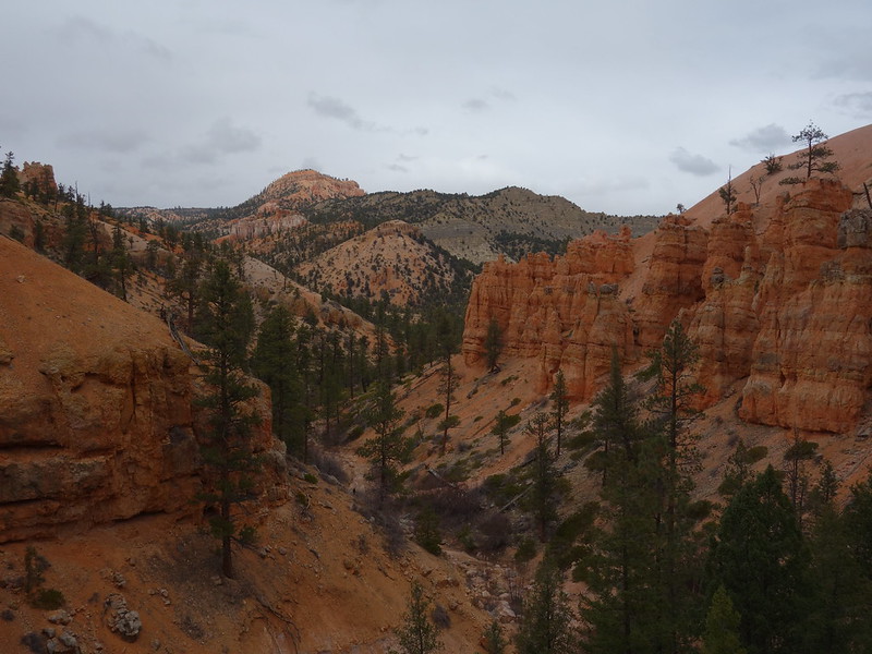
looking back downcanyon by John Morrow, on Flickr
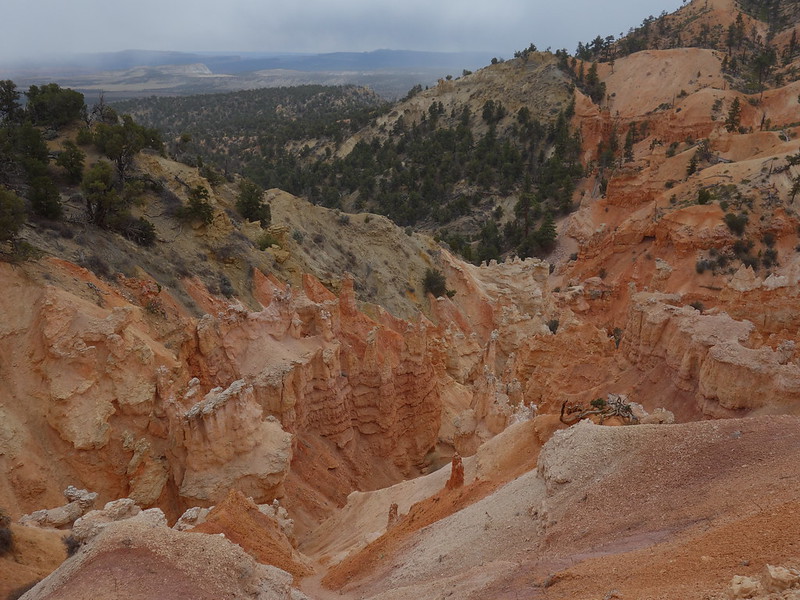
hoodoos! by John Morrow, on Flickr
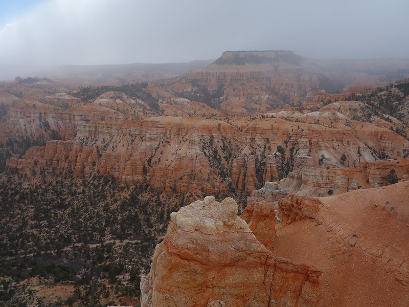
Boat Mesa and the Fairyland by John Morrow, on Flickr
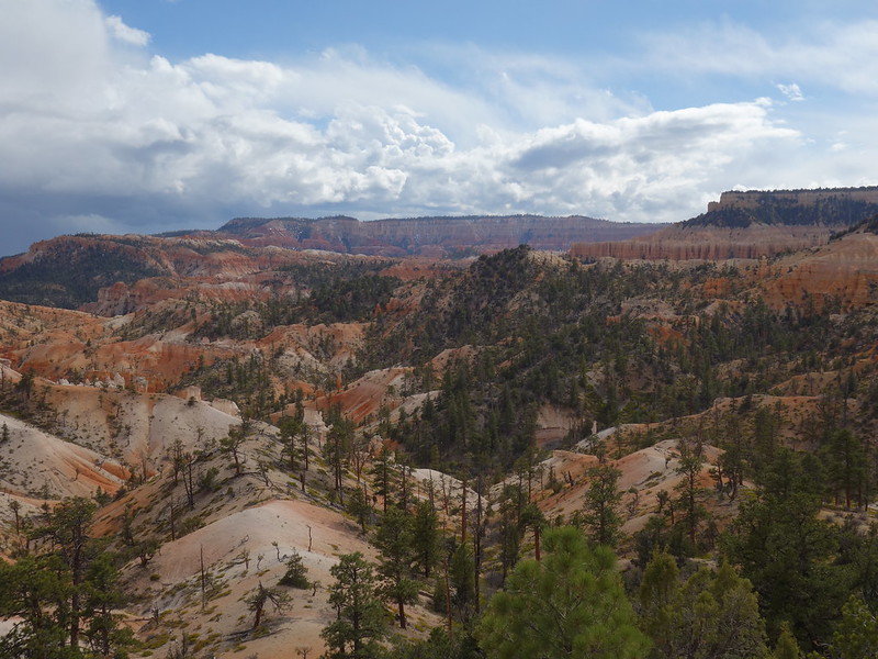
Last look at hoodooland by John Morrow, on Flickr
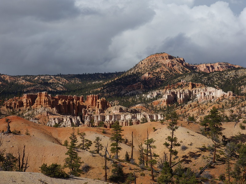
late day light by John Morrow, on Flickr
Full photo set describes the route better:

 www.flickr.com
Off to Kanab I was for a rest day before heading to Indian Hollow Campground for the night before our descent into the Grand Canyon
April 15 I did a nice loop in the nowhere land between Phipps Wash, the Red Breaks, and Harris Wash from the Sheffield Road. But I really had the Red Pyramid (local name) in mind. I've seen it now for the past ten years and few people report going there. The day turned into a nice triangular loop over dunes and stone.
Destination: The Red Pyramid by John Morrow, on Flickr
South face route by John Morrow, on Flickr
Darkening skies over 50 Mile Mtn. by John Morrow, on Flickr
back down by John Morrow, on Flickr
moving across by John Morrow, on Flickr
wildflower seed in the sand and stone by John Morrow, on Flickr
great bedding by John Morrow, on Flickr
high dunes by John Morrow, on Flickr
color by John Morrow, on Flickr
April 16: Knowing I need to start driving toward Kanab, I packed up and found an off-the-beaten-path, hike to a highpoint and a great deep canyon view. From the Escalante River TH in town, I west eastward up one canyon draining Big Flat, over to the fabulous rim of Esclante river Canyon, and descended another canyon. Fun empty country walk in an ever increasingly busy Escalante.
Escalante Trailhead start by John Morrow, on Flickr
Upward in canyon by John Morrow, on Flickr
Rim view! by John Morrow, on Flickr
last look to north by John Morrow, on Flickr
On the rim by John Morrow, on Flickr
deepening canyon by John Morrow, on Flickr
I still had time for more walking so I stopped off at the Mossy Cave Trailhead on Hwy 12 in Bryce National Park. From the Fairyland I had twice failed to get to the summit of the Sinking Ship, this time I was smart and made it via the gentle side at the head of Jolley Gulch. A couple pairs of footprints but nobody to be seen. Threatening clouds added to the atmosphere. from the Sinking Ship I ran the ridge over Jolley Gulch to make a loop. Great to be somewhere I had yet to be within Bryce.
Jolley gulch beyond highway by John Morrow, on Flickr
looking back downcanyon by John Morrow, on Flickr
hoodoos! by John Morrow, on Flickr
Boat Mesa and the Fairyland by John Morrow, on Flickr
Last look at hoodooland by John Morrow, on Flickr
late day light by John Morrow, on Flickr
Full photo set describes the route better:
Escalante Natl. Mon. to Bryce National Pk. April 15-16, 2021
1. Sheffield Road area hike loop. 2. Escalante Town to Big Flat and River overlook. 2. Jolley Gulch to the Sinking Ship.
www.flickr.com
Off to Kanab I was for a rest day before heading to Indian Hollow Campground for the night before our descent into the Grand Canyon
Last edited: