- Joined
- Dec 23, 2013
- Messages
- 4,045
I headed out to the Toiyabe Range in central Nevada with the intent of backpacking the Toiyabe Crest Trail with a couple of friends, starting in the north at Kingston Canyon, then working our way south to the South Twin River Trailhead. Unfortunately, due to the amount of snow, we were turned back on day three. We didn't bring crampons or ice axes for the conditions we ran into, so we backtracked and explored a couple of canyons on the west side of the range for the next three days. This meant that we exited one day early, and at that point we checked out some of the forest service roads and canyons on the east side of the Toiyabes, where we explored some old mines and ghost towns.
The Toiyabe Crest Trail was constructed by the Civilian Conservation Corps back in the 1930's during the Great Depression. The trail runs roughly in a northeast to southwest direction with an eastern fishhook at he end that sends it back to the northeast. The trail is roughly 71 miles in length and the range itself is fairly exposed, sage covered, with aspen groves and streams located in the bottoms of the side canyons. The range falls between Austin to the north and Tonopah to the southwest. The Toiyabes and adjacent ranges have a rich mining history and there is still an active gold mine called Round Mountain on the east side of Big Smoky Valley nestled up against the Toquima Range to the east of the Toiyabes.
Here are some images of our trip.
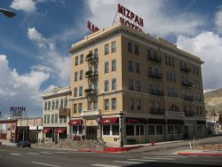
The Mizpah Hotel in Tonopah. We stayed here the day before and the last day of our trip. Due to a leak
in the shower from the room above us, we had to change rooms in the middle of the night. I lucked out
and got the Jack Dempsey Suite. This changing of the rooms meant we got a late start the next morning.
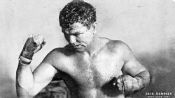
Former heavyweight champ and former bouncer at the Mizpah Hotel and Casino
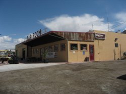
The Tonopah Brewing Company and Tap Room. We walked up from the hotel for dinner. I got a Stink
Eye Porter and smoked turkey sandwich which was excellent.

A Stink Eye always makes me happy.
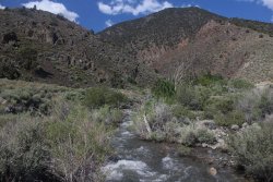
The South Twin River at the South Twin River Trailhead. We dropped off a shuttle vehicle here
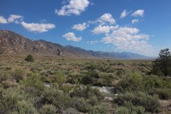
View to the north of the Toiyabe Range taken from the South Twin River Trailhead.
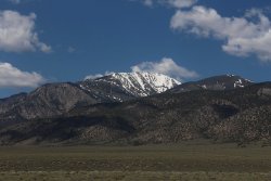
Snow covered peak on our drive to our Trailhead in Kingston Canyon
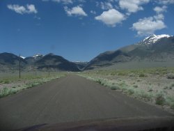
Approaching the little community of Kingston and Kingston Canyon
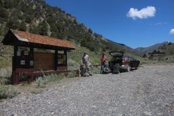
The Kingston Canyon Trailhead
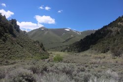
A look back down Kingston Canyon from the trailhead. The Toiyabe Crest Trail follows along Kingston
Creek which runs along the hill on the right side of this image, before heading up the ridge in the distance
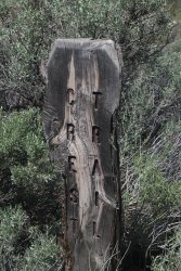
The official beginning of the trail
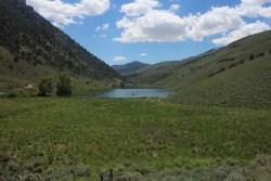
People recreating on Groves Lake to the south of us. We're pretty close to starting our climb at this point
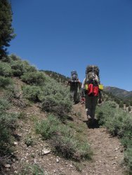
Let the climbing begin
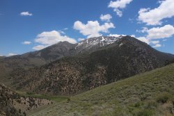
Looking back across Kingston canyon at Bunker Hill
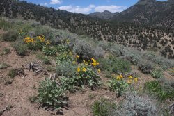
At the lower elevations, wildflowers were in bloom - Arrowleaf Balsamroot
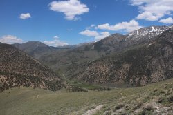
A look back up Kingston Canyon. Can you make out the Subaru at the Trailhead?
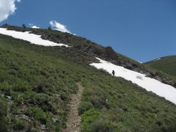
Our first of many snowfields as we work our way up to the top of the ridge
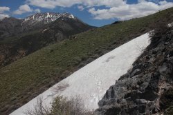
Scatman prints!
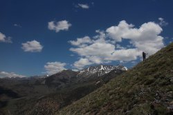
Steep going
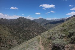
Still working our way up
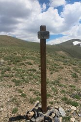
Yeah, we made the ridge. TCT signpost awaiting us.
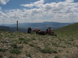
Seems like a good place for a break. The Reese River Valley below and the Shoshone Mountains to the
southwest
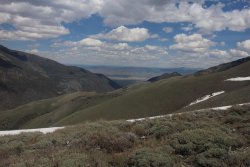
A look out to the east down Kingston Canyon, with views of Big Smoky Valley and the Toquima Range to
the east
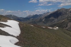
A good view of the northern end of the range, looking towards the town of Austin
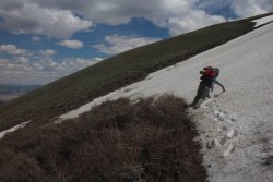
Arrgh!
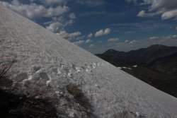
More Scatman tracks. The ever elusive creature that seldom smiles.
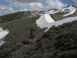
Hmmm...............
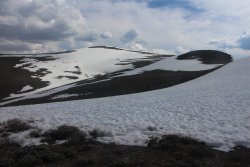
Still some climbing to do
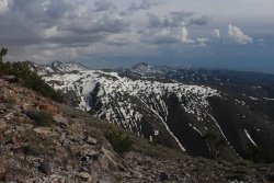
First good view to the south of the southern end of the range
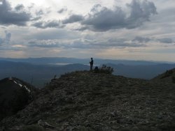
Contemplating what the hell he got himself into
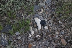
Type of scat? Cougar? @Artemus , @Outdoor_Fool
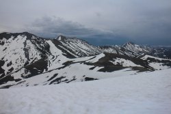
Another view o the south
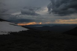
Sunset and storm clouds in the Toiyabes
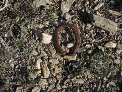
Lucky horseshoe?
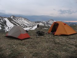
Our campsite on the ridge
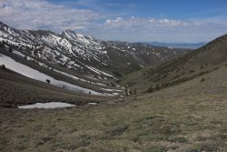
Looking down into the Washington Creek Drainage
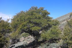
A small stand of Mountain Mahogany
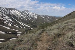
Making our way down into the drainage
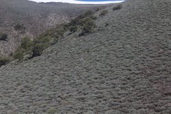
Bushwhacking through the sage
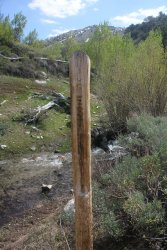
On the right track - Toiyabe Crest Trail signpost
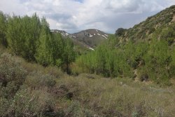
Aspen grove along Washington Creek
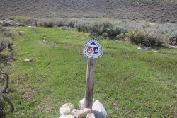
TST signpost
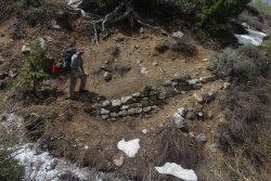
Some of the CCC handy work still visible
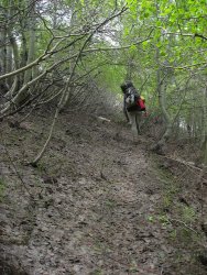
Pleasant walk through Quakies
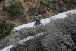
Steep climbing - holding onto sage for dear life. We had to do this repeatedly on day two. It wore me out.
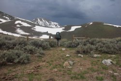
Be sure and take a hard left at this point or you will lose the trail. We lost the trail at this point.
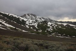
Toiyabe Range Peak up ahead
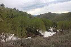
More Aspen
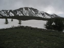
Toiyabe Range Peak
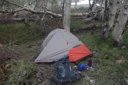
Campsite
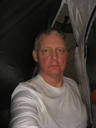
I could use a Stink Eye about now.
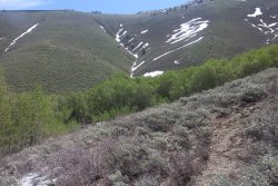
Leaving camp on day three
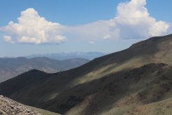
View of the Desatoya Mountains in the far distance
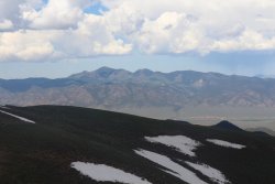
The Shoshone Mountains and North Shoshone Peak
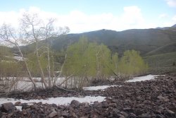
Aspen just beginning to leaf-out
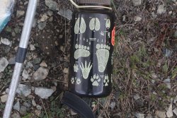
No Grizzlies in this neck of the woods.
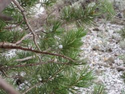
Nearly marble sized hail had me hunkering under a Limber Pine for about twenty minutes
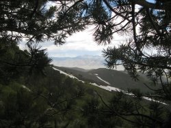
Of course it was sunny across the valley
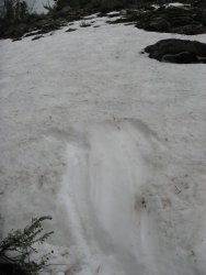
The point where we had to call it a day
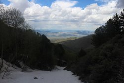
Steep and icy for as far as we could see
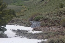
Large spring in the Toiyabes
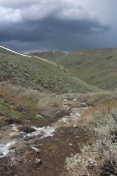
More storm clouds rolling in. We got lots of rain on day two and three
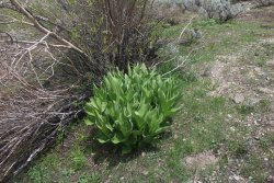
Corn Lily grew near the streams
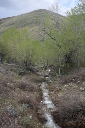
Exploring the Cottonwood Creek Drainage
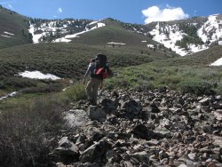
Cross country travel tore my Moab Ventilators to shreds
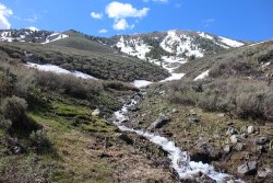
Still off-trail at this point
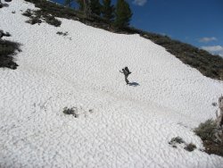
Careful!
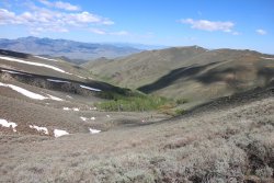
Typical side canyon view in the Toiyabes
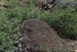
Ants were everywhere in the Toiyabes
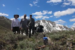
Finally back on trail, we stopped for a group shot
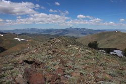
Good view of the Shoshone Mountains
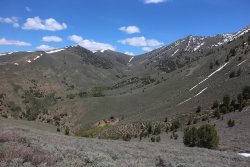
A look up Washington Creek Drainage
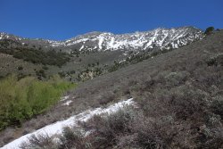
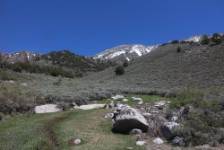
Another spring in the Toiyabes
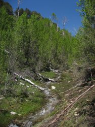
Exploring the Washington Creek Drainage
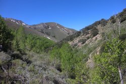
Washington Creek Drainage
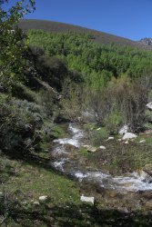
The Washington Creek Drainage
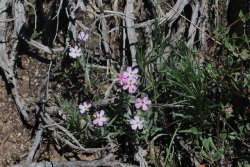
Phlox
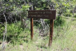
Trailhead on Washington Creek
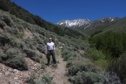
Heading back up Washington Creek to our campsite
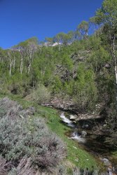
Washington Creek
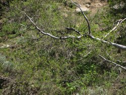
Hard to make out, but there is a small hornets nest hanging just under the dead aspen tree. This is the
first hornets nest that I have ever seen while backpacking.
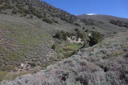
Another spring
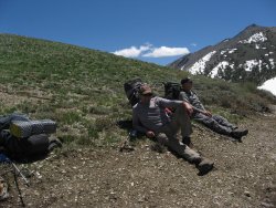
The wind on ridge on day six was unbearable. Down in the valley, we learned later, there was severe wind
warnings with gusts up to 50 mph. It was worse along the ridge. I found it hard to breathe when I was
heading into the wind.
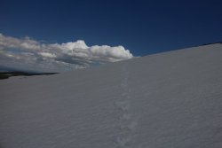
Don't know why I like this shot but I do. And yes, those are Scat tracks
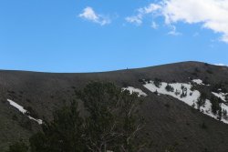
How's the wind up there?
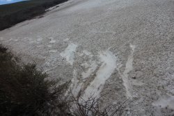
More slippin' and sliding
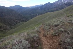
Looking down on the trailhead on our last day
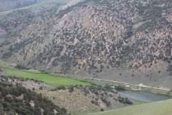
Can you make out the military jet in this shot? It buzzed my Subaru twice while I was hiking down into
the canyon. It turns out they were filming Top Gun 2. So maybe the Subaru will be famous! It was
pretty cool to see the jet banking through the canyon.
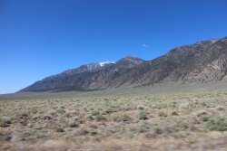
View south along the Toiyabe Range as we headed back to pick up our shuttle vehicle
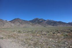
The Toiyabes
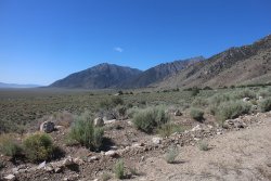
The Toiyabes
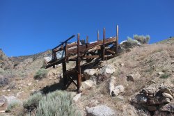
Since we had an extra day now we explored some of the canyons on the east side of the range. An old
mining structure.
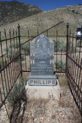
Grave site in an old cemetery near Ophir Canyon
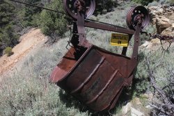
An old bucket up Summit Creek
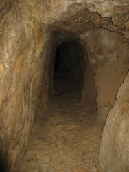
Old mine shaft
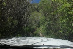
Treacherous going up a couple of the Forest Service roads
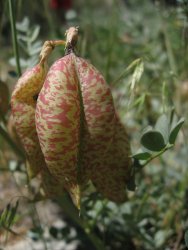
Egg Milkvetch
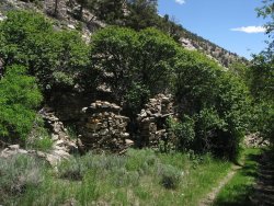
Old homestead
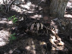
Ate my salmon on a tortilla next to this.
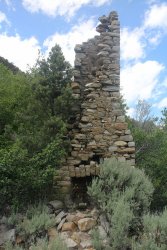
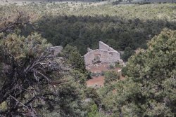
Old stamp mill
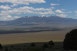
Looking east at the Toquima Range and the Alta Toquima Wilderness
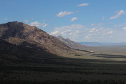
The Toiyabes and Big Smoky Valley
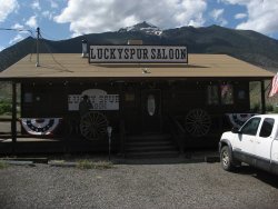
Of course exploring builds up ones thirst and there is only one way to quench it - The Lucky Spur Saloon.
They make a mean burger at the Lucky Spur - actually the bed and breakfast down the street makes the
food and delivers it to the saloon.
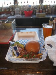
With chili-cheese fries no less
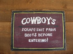
Of course if Scatman were to scrape the shit from himself, there would be nothing left. @Rockskipper
can attest to this.
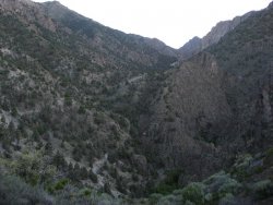
On our last night we camped at the South Twin Trailhead so I hiked up the south end of the Toiyabe Crest
Trail and looked down into the South Twin River Gorge.
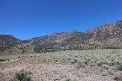
The southern Toiyabes
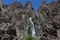
Waterfall up Broad Creek. On our way back to Tonopah we explored a couple of canyons on southern
end of the range.
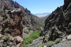
A look down Broad Creek
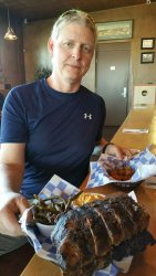
Back in Tonopah at the brewery, eating in style
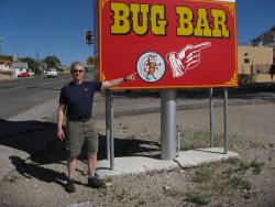
The Bug Bar is that way.
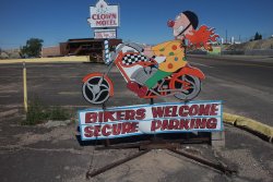
And what trip report wouldn't be complete without Scatman at the Clown Motel! Scatman, Clown Motel,
sounds about right to me.
Well, I was disappointed that I wasn't able to complete the trail. That seems to be my MO these days. I probably should have schedule the trip in July when most of the snow had melted but I needed to schedule my surgery so that I would be healed up for my Yellowstone Lake canoe trip next week. The Toiyabes are definitely worth a look, particularly if solitude is what you are looking for. The trip turned out to be much colder than I had anticipated. The first day was a warm one but after that we had rain for two days and cool temps also. The day we hiked out of the Washington Creek Basin was easily the windiest day I have ever backpacked in. I didn't enjoy that day at all.
We ended up seeing a number of Golden Eagles and I have never seen so many hummingbirds in my life - they were everywhere. I started calling them Toiyabe Mosquitoes. We saw sign of deer everywhere but never saw a deer. When we were at the Lucky Star Saloon in Kingston, the locals told us there were lots of Bighorn Sheep in the range but we didn't see any of them either. Songbirds in the aspen groves were a pleasure to wake up to each morning and the overwhelming smell of sage throughout our trip was something I hadn't experienced before. I thought the smell of rain and sage together was wonderful too.
I look forward to getting back and checking out the southern end with the Arc Dome Wilderness that I didn't reach this time. Of course I might need someone to provide a shuttle vehicle. Hint. Hint.
The End.
The Toiyabe Crest Trail was constructed by the Civilian Conservation Corps back in the 1930's during the Great Depression. The trail runs roughly in a northeast to southwest direction with an eastern fishhook at he end that sends it back to the northeast. The trail is roughly 71 miles in length and the range itself is fairly exposed, sage covered, with aspen groves and streams located in the bottoms of the side canyons. The range falls between Austin to the north and Tonopah to the southwest. The Toiyabes and adjacent ranges have a rich mining history and there is still an active gold mine called Round Mountain on the east side of Big Smoky Valley nestled up against the Toquima Range to the east of the Toiyabes.
Here are some images of our trip.

The Mizpah Hotel in Tonopah. We stayed here the day before and the last day of our trip. Due to a leak
in the shower from the room above us, we had to change rooms in the middle of the night. I lucked out
and got the Jack Dempsey Suite. This changing of the rooms meant we got a late start the next morning.

Former heavyweight champ and former bouncer at the Mizpah Hotel and Casino

The Tonopah Brewing Company and Tap Room. We walked up from the hotel for dinner. I got a Stink
Eye Porter and smoked turkey sandwich which was excellent.

A Stink Eye always makes me happy.

The South Twin River at the South Twin River Trailhead. We dropped off a shuttle vehicle here

View to the north of the Toiyabe Range taken from the South Twin River Trailhead.

Snow covered peak on our drive to our Trailhead in Kingston Canyon

Approaching the little community of Kingston and Kingston Canyon

The Kingston Canyon Trailhead

A look back down Kingston Canyon from the trailhead. The Toiyabe Crest Trail follows along Kingston
Creek which runs along the hill on the right side of this image, before heading up the ridge in the distance

The official beginning of the trail

People recreating on Groves Lake to the south of us. We're pretty close to starting our climb at this point

Let the climbing begin

Looking back across Kingston canyon at Bunker Hill

At the lower elevations, wildflowers were in bloom - Arrowleaf Balsamroot

A look back up Kingston Canyon. Can you make out the Subaru at the Trailhead?

Our first of many snowfields as we work our way up to the top of the ridge

Scatman prints!

Steep going

Still working our way up

Yeah, we made the ridge. TCT signpost awaiting us.

Seems like a good place for a break. The Reese River Valley below and the Shoshone Mountains to the
southwest

A look out to the east down Kingston Canyon, with views of Big Smoky Valley and the Toquima Range to
the east

A good view of the northern end of the range, looking towards the town of Austin

Arrgh!

More Scatman tracks. The ever elusive creature that seldom smiles.

Hmmm...............

Still some climbing to do

First good view to the south of the southern end of the range

Contemplating what the hell he got himself into

Type of scat? Cougar? @Artemus , @Outdoor_Fool

Another view o the south

Sunset and storm clouds in the Toiyabes

Lucky horseshoe?

Our campsite on the ridge

Looking down into the Washington Creek Drainage

A small stand of Mountain Mahogany

Making our way down into the drainage

Bushwhacking through the sage

On the right track - Toiyabe Crest Trail signpost

Aspen grove along Washington Creek

TST signpost

Some of the CCC handy work still visible

Pleasant walk through Quakies

Steep climbing - holding onto sage for dear life. We had to do this repeatedly on day two. It wore me out.

Be sure and take a hard left at this point or you will lose the trail. We lost the trail at this point.

Toiyabe Range Peak up ahead

More Aspen

Toiyabe Range Peak

Campsite

I could use a Stink Eye about now.

Leaving camp on day three

View of the Desatoya Mountains in the far distance

The Shoshone Mountains and North Shoshone Peak

Aspen just beginning to leaf-out

No Grizzlies in this neck of the woods.

Nearly marble sized hail had me hunkering under a Limber Pine for about twenty minutes

Of course it was sunny across the valley

The point where we had to call it a day

Steep and icy for as far as we could see

Large spring in the Toiyabes

More storm clouds rolling in. We got lots of rain on day two and three

Corn Lily grew near the streams

Exploring the Cottonwood Creek Drainage

Cross country travel tore my Moab Ventilators to shreds

Still off-trail at this point

Careful!

Typical side canyon view in the Toiyabes

Ants were everywhere in the Toiyabes

Finally back on trail, we stopped for a group shot

Good view of the Shoshone Mountains

A look up Washington Creek Drainage


Another spring in the Toiyabes

Exploring the Washington Creek Drainage

Washington Creek Drainage

The Washington Creek Drainage

Phlox

Trailhead on Washington Creek

Heading back up Washington Creek to our campsite

Washington Creek

Hard to make out, but there is a small hornets nest hanging just under the dead aspen tree. This is the
first hornets nest that I have ever seen while backpacking.

Another spring

The wind on ridge on day six was unbearable. Down in the valley, we learned later, there was severe wind
warnings with gusts up to 50 mph. It was worse along the ridge. I found it hard to breathe when I was
heading into the wind.

Don't know why I like this shot but I do. And yes, those are Scat tracks

How's the wind up there?

More slippin' and sliding

Looking down on the trailhead on our last day

Can you make out the military jet in this shot? It buzzed my Subaru twice while I was hiking down into
the canyon. It turns out they were filming Top Gun 2. So maybe the Subaru will be famous! It was
pretty cool to see the jet banking through the canyon.

View south along the Toiyabe Range as we headed back to pick up our shuttle vehicle

The Toiyabes

The Toiyabes

Since we had an extra day now we explored some of the canyons on the east side of the range. An old
mining structure.

Grave site in an old cemetery near Ophir Canyon

An old bucket up Summit Creek

Old mine shaft

Treacherous going up a couple of the Forest Service roads

Egg Milkvetch

Old homestead

Ate my salmon on a tortilla next to this.


Old stamp mill

Looking east at the Toquima Range and the Alta Toquima Wilderness

The Toiyabes and Big Smoky Valley

Of course exploring builds up ones thirst and there is only one way to quench it - The Lucky Spur Saloon.
They make a mean burger at the Lucky Spur - actually the bed and breakfast down the street makes the
food and delivers it to the saloon.

With chili-cheese fries no less

Of course if Scatman were to scrape the shit from himself, there would be nothing left.
can attest to this.

On our last night we camped at the South Twin Trailhead so I hiked up the south end of the Toiyabe Crest
Trail and looked down into the South Twin River Gorge.

The southern Toiyabes

Waterfall up Broad Creek. On our way back to Tonopah we explored a couple of canyons on southern
end of the range.

A look down Broad Creek

Back in Tonopah at the brewery, eating in style

The Bug Bar is that way.

And what trip report wouldn't be complete without Scatman at the Clown Motel! Scatman, Clown Motel,
sounds about right to me.
Well, I was disappointed that I wasn't able to complete the trail. That seems to be my MO these days. I probably should have schedule the trip in July when most of the snow had melted but I needed to schedule my surgery so that I would be healed up for my Yellowstone Lake canoe trip next week. The Toiyabes are definitely worth a look, particularly if solitude is what you are looking for. The trip turned out to be much colder than I had anticipated. The first day was a warm one but after that we had rain for two days and cool temps also. The day we hiked out of the Washington Creek Basin was easily the windiest day I have ever backpacked in. I didn't enjoy that day at all.
We ended up seeing a number of Golden Eagles and I have never seen so many hummingbirds in my life - they were everywhere. I started calling them Toiyabe Mosquitoes. We saw sign of deer everywhere but never saw a deer. When we were at the Lucky Star Saloon in Kingston, the locals told us there were lots of Bighorn Sheep in the range but we didn't see any of them either. Songbirds in the aspen groves were a pleasure to wake up to each morning and the overwhelming smell of sage throughout our trip was something I hadn't experienced before. I thought the smell of rain and sage together was wonderful too.
I look forward to getting back and checking out the southern end with the Arc Dome Wilderness that I didn't reach this time. Of course I might need someone to provide a shuttle vehicle. Hint. Hint.
The End.
Last edited:
