- Joined
- Dec 23, 2013
- Messages
- 4,327
Over the past twenty five years or so, I've hiked to the top of Mount Wire and Mount Van Cott at least sixty times each. Usually, I hike each in the early spring as I warm up for bigger peaks later in the spring/summer. In the fall, I hike them again as I wind down my backpacking/hiking season before the snow flies here in Salt Lake. Occasionally, I will hike them a third time during the year if I need to get a quick hike in and get back to do other chores in the afternoon. I have always done these hikes as separate ones, but yesterday I combined both peaks into the same day hike. The length of the lollipop loop was roughly 14 miles as measured on a map. I'm guessing that it was probably closer to 15 when all was said and done on the ground. Another first for this hike was that I would summit both from the south, as opposed to the northern routes to the peaks, which I had taken all the previous times that I summited Wire and Van Cott.
I might mention too that this fall, for all my foothill hikes, I have been starting out from my house instead of driving to the various trailheads like I have done in the past. I figure this would add some miles to my hike, and give me a bit more exercise to keep me in some semblance of shape before old man winter arrives.
Let's get started.
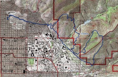
Route overview map
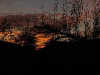
My wife and I headed out about 7:45 in the morning and the sunrise was a good one.
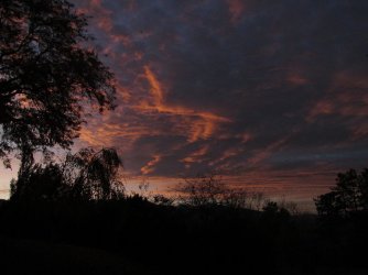
Pretty
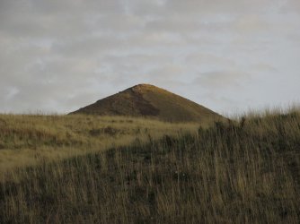
We're heading through the neighborhood at this point, with a view of the southern peak of the Avenues Twin Peaks to our north
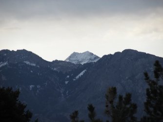
I zoomed in from the Avenues on Triangle Peak, the snow covered Broads Fork Twin Peaks, and Mount Olympus far to our south
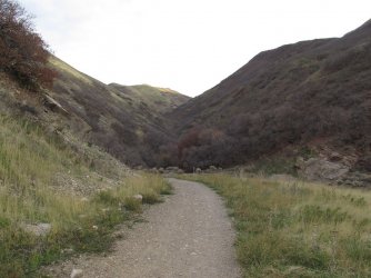
Dropping down from our neighborhood towards Dry Canyon and the Bonneville Shoreline Trail which I will follow all the way to the
mouth of Emigration Canyon and the trail up the south side of Mount Wire
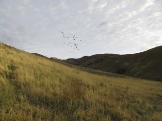
Startling a flock of pigeons as we pass by Mount Van Cott on our way towards Mount Wire
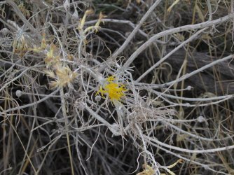
One last patch of yellow on this rabbit brush shrub
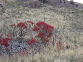
Sumac showing off its fall colors
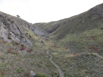
The western approach for Mount Van Cott
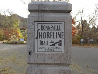
Signage for the Shoreline Trail as we approach the Natural History Museum
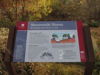
About to cross Red Butte Creek
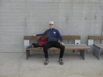
With the sun popping out over the foothills, it was time to take a break and put some sunscreen on. This is the point where my
wife turned around and headed back.
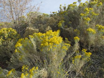
Rabbit brush in bloom
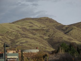
A look back north at Mount Van Cott
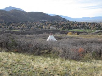
A teepee in the "This is the Place Monument"
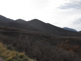
The silhouette of Jack's Mountain to the south. Another spring hike favorite of mine
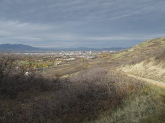
View slightly to the northwest as i approach the trail up the south side of Mount Wire
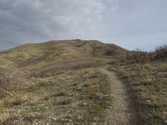
Mount Wire dead ahead
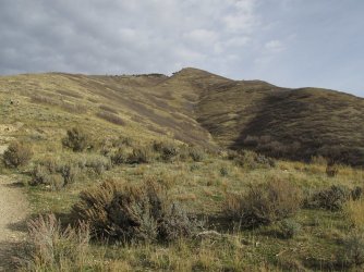
Some Mountain Mahoganies up top
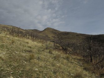
The trail heads right up the ridge of the knob straight ahead
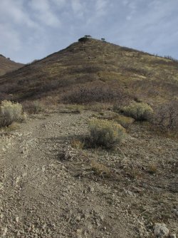
Approaching the knob
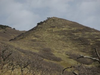
The knob
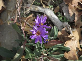
Some aster still blooming along the trail
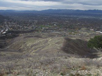
A look back down into the valley. You can still make out the teepee down below.
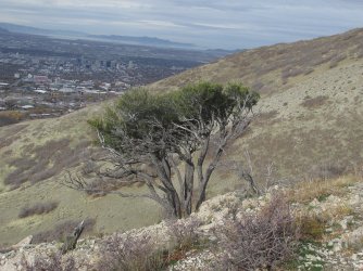
Mountain Mahogany time
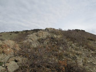
A little rocky section along the ridge
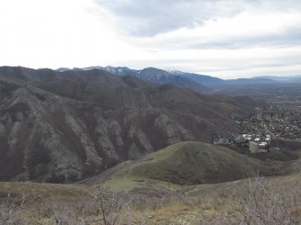
View south along the Wasatch Front
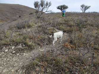
These two passed me like I was standing still. The dog's name was Gunner.

A little over halfway to the top, and I'm sucking wind. Typical.
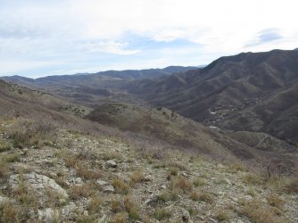
First good look into Emigration Canyon
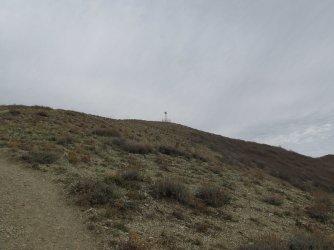
The old airplane beacon on the summit finally comes into view
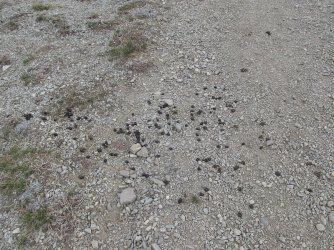
Some deer scat just below the summit
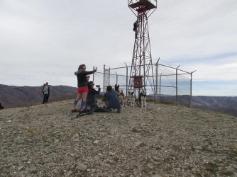
Geeze, like herding cats @Rockskipper. One of these dogs came and sat on my lap while I was trying to eat a snack. I saw a total of
57 hound dogs/pooches on this hike.
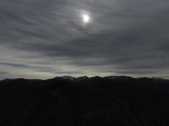
Once I got to the top of Wire, it clouded up and would stay that way for the rest of the day
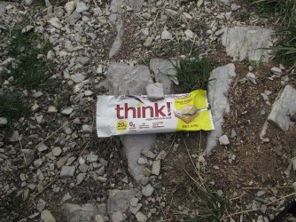
My snack on the top of wire
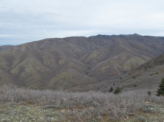
Black Mountain Ridge to the north, along with Grandview Peak in the far distance located on the north ridge of City Creek Canyon
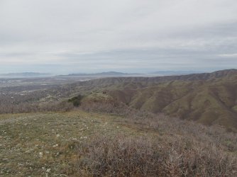
Looking towards Mount Van Cott, which is about 800 feet shorter than Wire. Antelope Island in the far distance
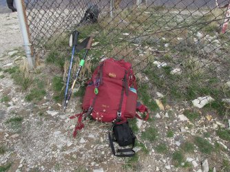
My gear for the day
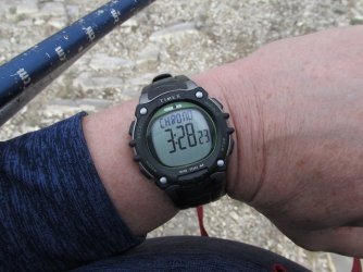
Leaving the Mount Wire summit after my break, three hours and twenty eight minutes into my hike.
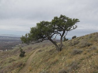
My favorite Mountain Mahogany in the whole wide world.
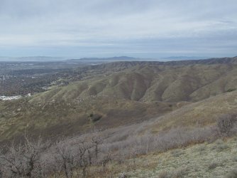
Van Cott straight ahead
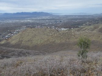
The Red Butte Ridge and George's Hollow below which I will be following back down to pick up the Shoreline Trail again
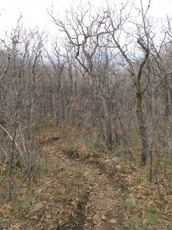
The trail through George's Hollow
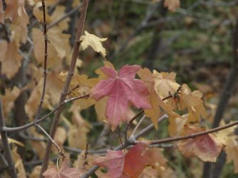
A slight touch of red still holding on
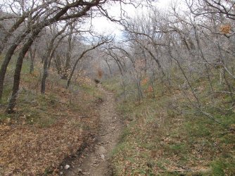
Still making my way down George's Hollow
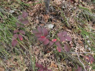
Fall colors of the Oregon Grape
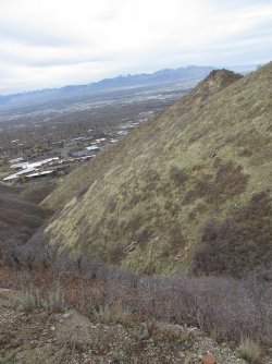
The foothills do have some steep sections to them as this shot looks down George's Hollow and
out into the valley
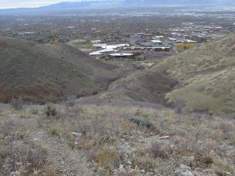
Just following the ridge down to the Shoreline Trail at this point with the University of Utah below
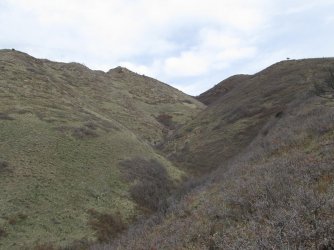
A view back up George's Hollow
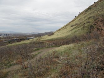
Back on the Shoreline Trail and heading north towards Red Butte Gardens. I will be making my way around the east side of the
Gardens before dropping down into Red Butte Canyon
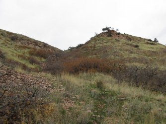
A look up towards Peak 5773
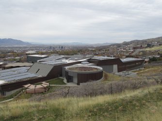
On the backside (east) of the Natural History Museum
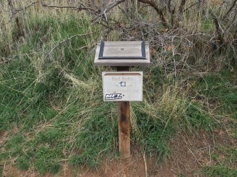
Trail sign for the trail that I will take to make my way around Red Butte Gardens
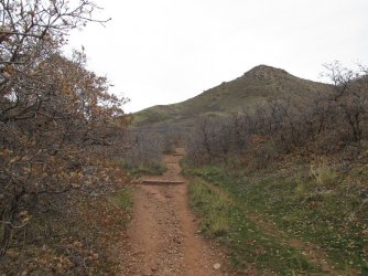
heading east up Soldiers Hollow, with Red Butte above
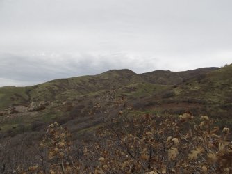
Mount Van Cott comes back into view
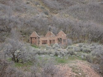
The old Quarry House on the Gardens grounds
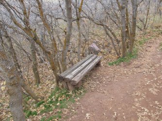
I really wanted to lie down on this bench and take a nap.
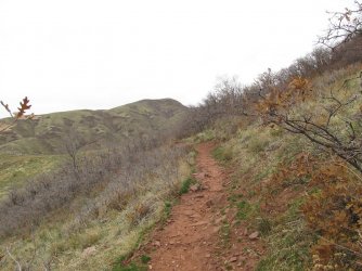
The nature trail with Van Cott in the distance
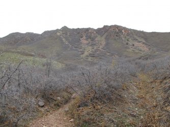
A look up at the north side of Red Butte as I drop down into Red Butte Canyon
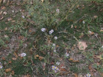
More asters in bloom
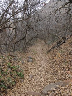
heading down into the canyon
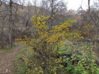
A rose bush's fall colors
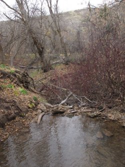
Red Butte Creek
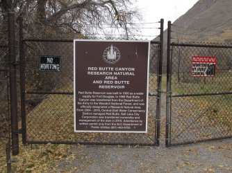
No trespassing beyond this point
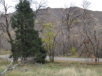
Fall colors are dwindling at the bottom of the canyon
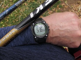
Five and a half hours in and I'm starting the climb up Mount Van Cott
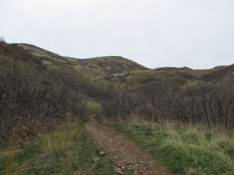
Here we go. You can't make out the top yet from this vantage point
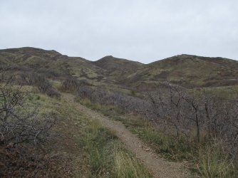
Looking up at the ridge to the east of Van Cott
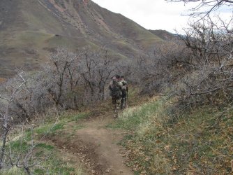
I had a nice chat with these two bow hunters coming off of Van Cott
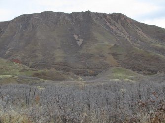
A nice look back across Red Butte Canyon at Red Butte as I gain a little bit of elevation
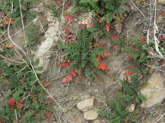
Common Storksbill leaves changing to red along the trail
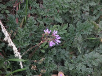
And some storksbill blooming still
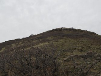
The summit of Van Cott above. Unfortunately the trail heads west and then turns back northeast up the ridge to gain the summit
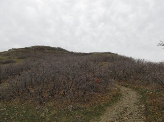
Heading northeast towards the summit
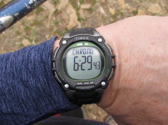
Trip time as I reached the summit
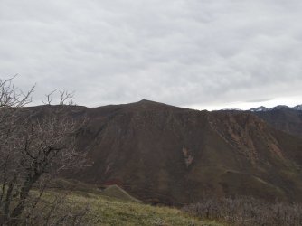
Looking back south towards Mount Wire where I was three hours earlier
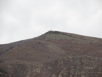
A zoomed in shot with the airplane beacon visible
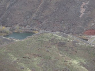
One can see some of Red Butte Resevroir from the summit of Mount Van Cott
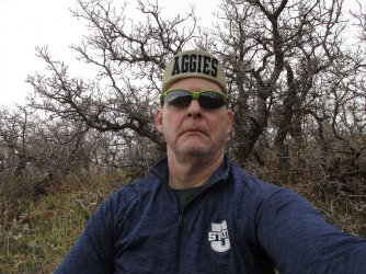
Go Aggies! Enjoying a break and some snacks on Mount Van Cott.
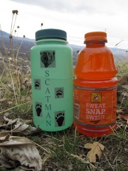
Oh my! A fifteen round heavyweight fight between Scatman and the Sweat Snap Swish Gatorade.
Who is your money on?
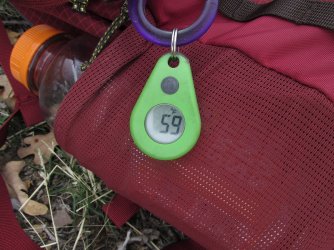
59 degrees up top with a good wind blowing
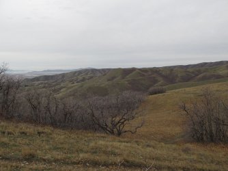
The way home as I drop down off the north side of Van Cott - my usual route.
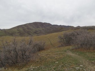
The Black Mountain Ridge
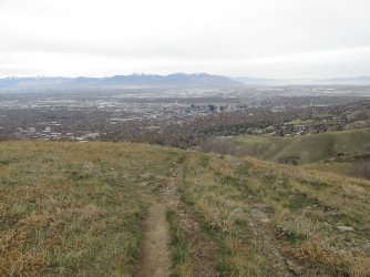
And the valley below
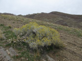
More blooming Rabbit Brush with Van Cott above
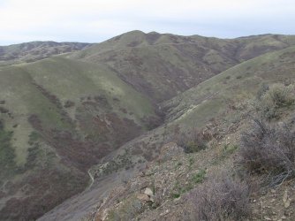
Looking down into Dry Canyon
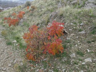
The fall colors of sumac along the trail
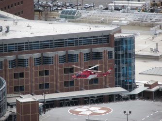
Life Flight taking of from the University Hospital. I was kind of hoping that they would come pick me up.
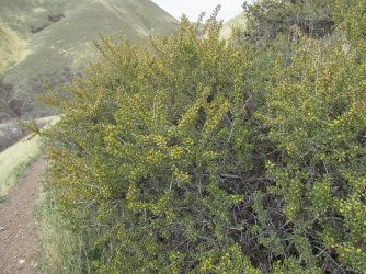
Antelope Bitterbrush leaves turning their fall yellow.
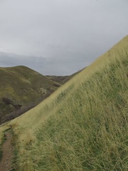
I just love the golden grass of the foothills
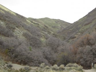
Another look up Dry Canyon, this time in the afternoon
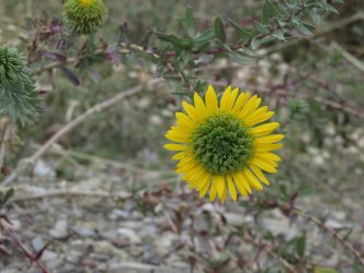
Not sure what this flower is, but I thought it was pretty. I'll need to see if I can look it up.
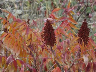
More sumac
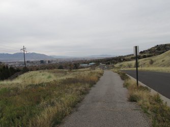
Back on the bike path that leads back to my neighborhood
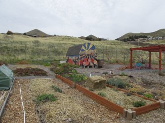
A shed for tools and such at the local community garden
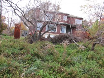
I didn't need to go to the foothills to see wildlife. A couple of deer in a yard on 10th Avenue, just one block north of my house
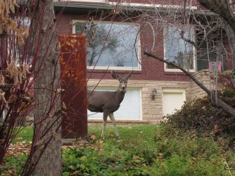
Hello.
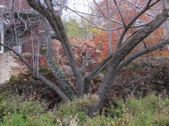
I see ya.
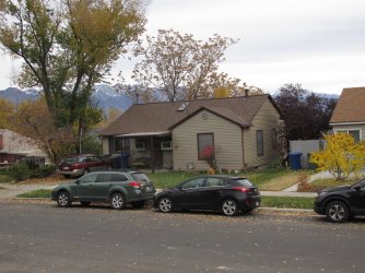
Home sweet home
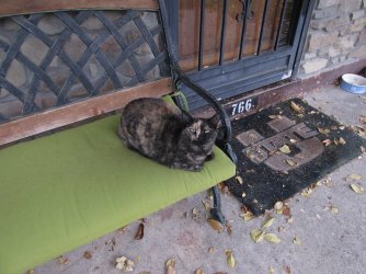
Greeted at the front door by the best "Tent Tester" in the world - Juniper, or as I affectionately call her "June-bug."
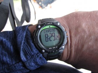
Total time: 8 hours and 29 minutes
The End
I might mention too that this fall, for all my foothill hikes, I have been starting out from my house instead of driving to the various trailheads like I have done in the past. I figure this would add some miles to my hike, and give me a bit more exercise to keep me in some semblance of shape before old man winter arrives.
Let's get started.

Route overview map

My wife and I headed out about 7:45 in the morning and the sunrise was a good one.

Pretty

We're heading through the neighborhood at this point, with a view of the southern peak of the Avenues Twin Peaks to our north

I zoomed in from the Avenues on Triangle Peak, the snow covered Broads Fork Twin Peaks, and Mount Olympus far to our south

Dropping down from our neighborhood towards Dry Canyon and the Bonneville Shoreline Trail which I will follow all the way to the
mouth of Emigration Canyon and the trail up the south side of Mount Wire

Startling a flock of pigeons as we pass by Mount Van Cott on our way towards Mount Wire

One last patch of yellow on this rabbit brush shrub

Sumac showing off its fall colors

The western approach for Mount Van Cott

Signage for the Shoreline Trail as we approach the Natural History Museum

About to cross Red Butte Creek

With the sun popping out over the foothills, it was time to take a break and put some sunscreen on. This is the point where my
wife turned around and headed back.

Rabbit brush in bloom

A look back north at Mount Van Cott

A teepee in the "This is the Place Monument"

The silhouette of Jack's Mountain to the south. Another spring hike favorite of mine

View slightly to the northwest as i approach the trail up the south side of Mount Wire

Mount Wire dead ahead

Some Mountain Mahoganies up top

The trail heads right up the ridge of the knob straight ahead

Approaching the knob

The knob

Some aster still blooming along the trail

A look back down into the valley. You can still make out the teepee down below.

Mountain Mahogany time

A little rocky section along the ridge

View south along the Wasatch Front

These two passed me like I was standing still. The dog's name was Gunner.

A little over halfway to the top, and I'm sucking wind. Typical.

First good look into Emigration Canyon

The old airplane beacon on the summit finally comes into view

Some deer scat just below the summit

Geeze, like herding cats @Rockskipper. One of these dogs came and sat on my lap while I was trying to eat a snack. I saw a total of
57 hound dogs/pooches on this hike.

Once I got to the top of Wire, it clouded up and would stay that way for the rest of the day

My snack on the top of wire

Black Mountain Ridge to the north, along with Grandview Peak in the far distance located on the north ridge of City Creek Canyon

Looking towards Mount Van Cott, which is about 800 feet shorter than Wire. Antelope Island in the far distance

My gear for the day

Leaving the Mount Wire summit after my break, three hours and twenty eight minutes into my hike.

My favorite Mountain Mahogany in the whole wide world.

Van Cott straight ahead

The Red Butte Ridge and George's Hollow below which I will be following back down to pick up the Shoreline Trail again

The trail through George's Hollow

A slight touch of red still holding on

Still making my way down George's Hollow

Fall colors of the Oregon Grape

The foothills do have some steep sections to them as this shot looks down George's Hollow and
out into the valley

Just following the ridge down to the Shoreline Trail at this point with the University of Utah below

A view back up George's Hollow

Back on the Shoreline Trail and heading north towards Red Butte Gardens. I will be making my way around the east side of the
Gardens before dropping down into Red Butte Canyon

A look up towards Peak 5773

On the backside (east) of the Natural History Museum

Trail sign for the trail that I will take to make my way around Red Butte Gardens

heading east up Soldiers Hollow, with Red Butte above

Mount Van Cott comes back into view

The old Quarry House on the Gardens grounds

I really wanted to lie down on this bench and take a nap.

The nature trail with Van Cott in the distance

A look up at the north side of Red Butte as I drop down into Red Butte Canyon

More asters in bloom

heading down into the canyon

A rose bush's fall colors

Red Butte Creek

No trespassing beyond this point

Fall colors are dwindling at the bottom of the canyon

Five and a half hours in and I'm starting the climb up Mount Van Cott

Here we go. You can't make out the top yet from this vantage point

Looking up at the ridge to the east of Van Cott

I had a nice chat with these two bow hunters coming off of Van Cott

A nice look back across Red Butte Canyon at Red Butte as I gain a little bit of elevation

Common Storksbill leaves changing to red along the trail

And some storksbill blooming still

The summit of Van Cott above. Unfortunately the trail heads west and then turns back northeast up the ridge to gain the summit

Heading northeast towards the summit

Trip time as I reached the summit

Looking back south towards Mount Wire where I was three hours earlier

A zoomed in shot with the airplane beacon visible

One can see some of Red Butte Resevroir from the summit of Mount Van Cott

Go Aggies!

Oh my! A fifteen round heavyweight fight between Scatman and the Sweat Snap Swish Gatorade.
Who is your money on?

59 degrees up top with a good wind blowing

The way home as I drop down off the north side of Van Cott - my usual route.

The Black Mountain Ridge

And the valley below

More blooming Rabbit Brush with Van Cott above

Looking down into Dry Canyon

The fall colors of sumac along the trail

Life Flight taking of from the University Hospital. I was kind of hoping that they would come pick me up.

Antelope Bitterbrush leaves turning their fall yellow.

I just love the golden grass of the foothills

Another look up Dry Canyon, this time in the afternoon

Not sure what this flower is, but I thought it was pretty. I'll need to see if I can look it up.

More sumac

Back on the bike path that leads back to my neighborhood

A shed for tools and such at the local community garden

I didn't need to go to the foothills to see wildlife.

Hello.

I see ya.

Home sweet home

Greeted at the front door by the best "Tent Tester" in the world - Juniper, or as I affectionately call her "June-bug."

Total time: 8 hours and 29 minutes
The End
Last edited:
