- Joined
- Dec 23, 2013
- Messages
- 4,311
On Friday, I completed a 13.2mile lollipop loop which included summiting Mount Raymond and Gobblers Knob. I began at 6:30 am at the road in Millcreek Canyon and finished about eleven hours later. I accessed the Mount Olympus Wilderness via the Bowman Fork Trail, where the wildflowers were plentiful. I summited Raymond first before heading over to Gobblers. I had an interesting encounter with a rattlesnake on one of the scramble sections just before the summit of Raymond. After summiting Gobblers, I made my way down into Alexander Basin, before hitting the connector trail that took me back to the Bowman Fork Trail. As the day proceeded, it became hotter and hotter. I consumed just about a gallon and a half of water/Gatorade on this one.
Here are some shots of my hike.
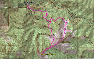
Overview map of my route
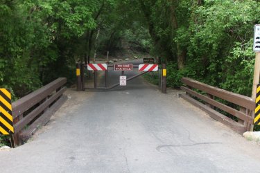
Closed gate to the Terraces Picnic Area where the official trailhead is located, about 1/4 mile up the road.
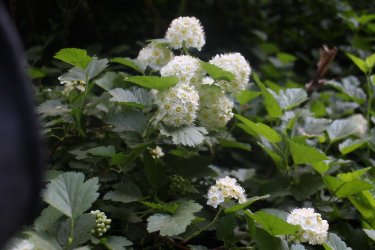
Mallow Ninebark
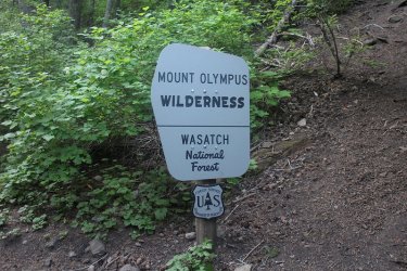
Wilderness Boundary
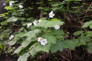
Thimbleberry
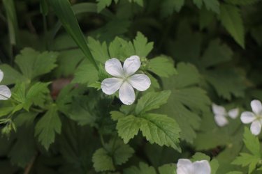
Geranium
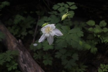
Columbine
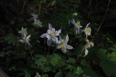
More Columbine
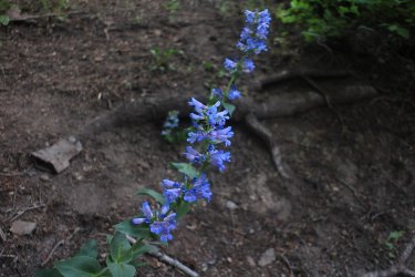
Wasatch Beardtongue
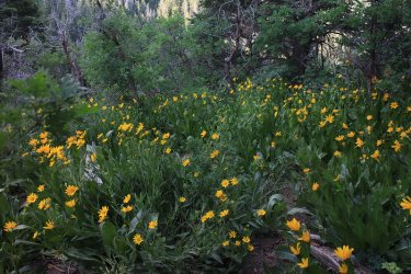
Mule Ears
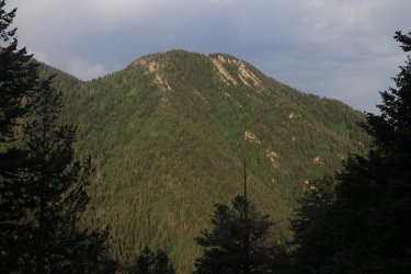
Starting to break our with some views - Peak 8656
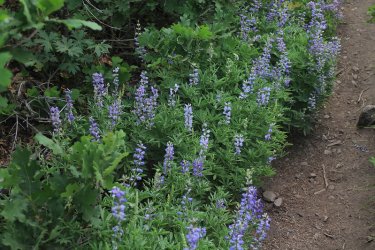
Lupine
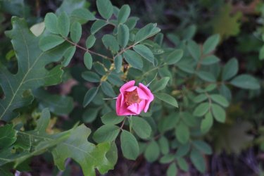
Wild Rose
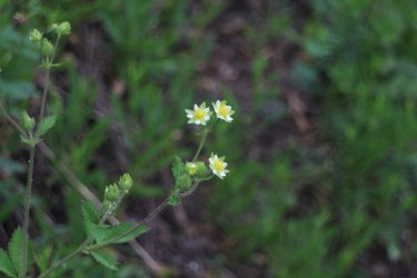
Cinquefoil
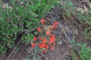
Scarlet Gilia
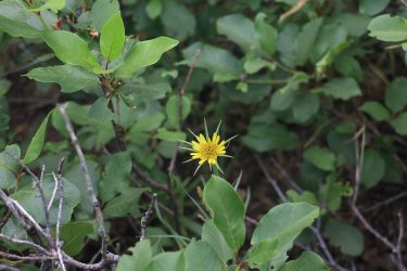
Yellow Salsify
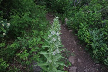
Monument Plant
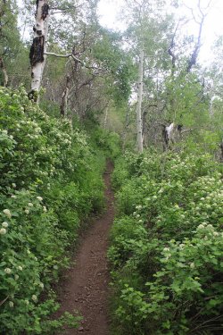
Ninebark along the trail
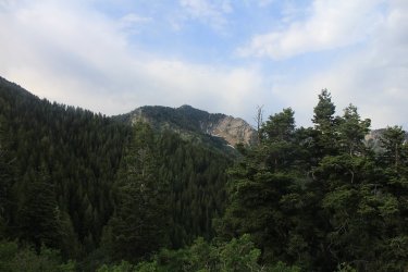
Mount Raymond comes into view
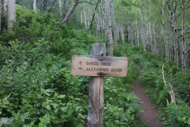
Connector trail junction sign that I would use to get back to Bowman Fork
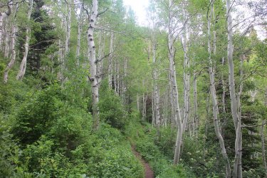
Aspen
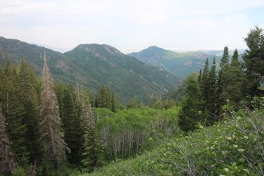
View back down the lower end of Porter Fork with Grandeur Peak in the distance
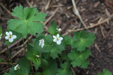
Canada Violet
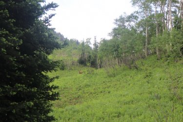
Deer ahead
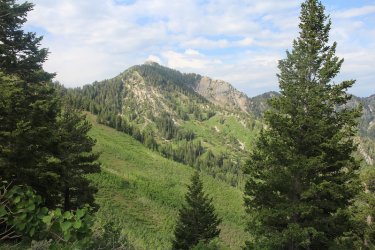
Mount Raymond
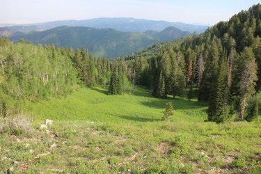
Looking back towards Millcreek Canyon
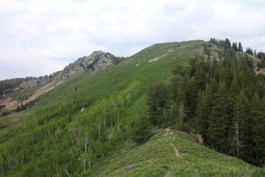
Mount Raymond, viewed from Baker Pass
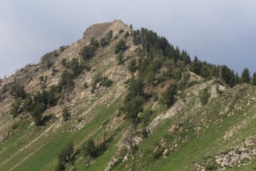
Working my way up the ridge
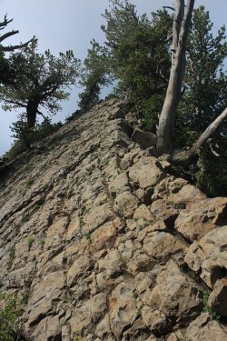
Beginning of the first scramble section
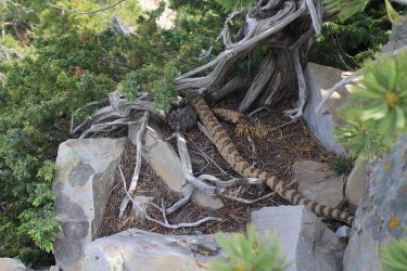
Ran into this guy on the second scramble part
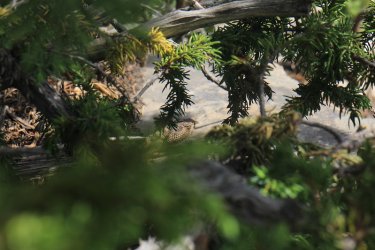
For whatever reason he never rattled at me
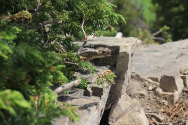
Peek-a-boo
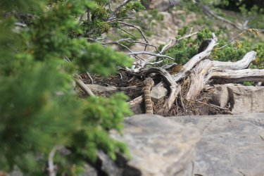
And off it goes
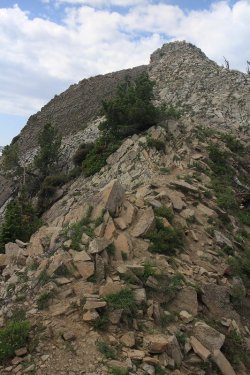
Almost there
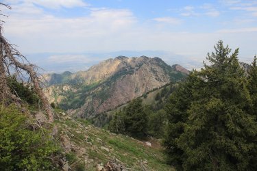
View of Wildcat Ridge
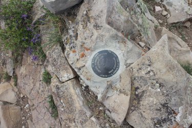
Geologic Survey Marker on the summit of Raymond
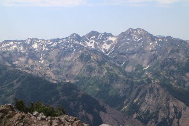
A look up Broads Fork Canyon, across Big Cottonwood Canyon, with Dromedary, Sunrise and Broads Fork Twin Peaks
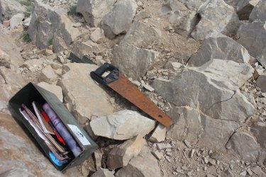
Hey @The Trout Whisperer, I found this rusty saw on the summit. I figured we could use it for your toe issues instead of the hatchet.
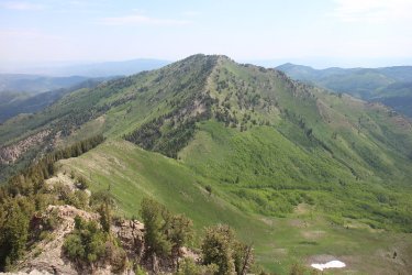
A look to the east at Gobblers Knob
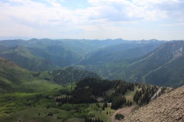
A view up Big Cottonwood Canyon
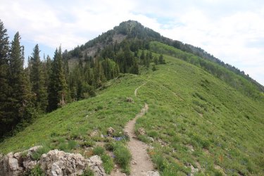
Gobblers Knob from Baker Pass
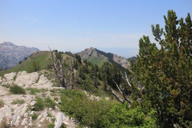
Looking back at Mount Raymond, viewed just off the summit of Gobblers Knob
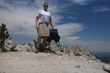
On the summit of Gobblers Knob
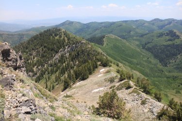
Heading down off of Gobblers towards Alexander Basin
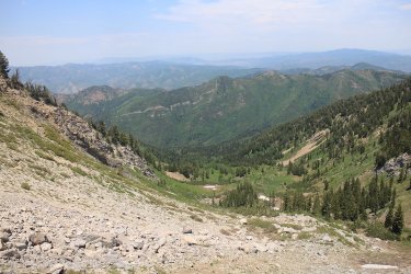
View down into Alexander Basin
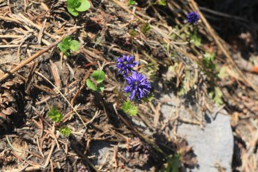
Cut-leaf Kittentail
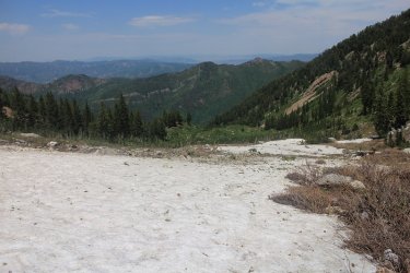
Some snow still left in the basin - Millvue Peak in the distance
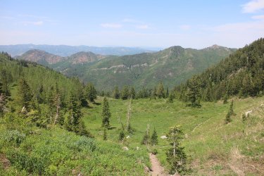
Continuing down the basin with (L-R) Mount Aire, Peak 8490, Millvue Peak, Peak 9074 along the Millcreek ridgeline
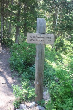
Junction sign for the connector trail that leads back to the Bowman Fork Trail. @regehr
had warned me that this trail was for the most part uphill, and he wasn't kidding. Not
only that, but there was quite a bit of downfall across this trail too, and the day was really
beginning to heat up. My legs were tired by this time, so this was a tough stretch for me.
I had the connector trail blues. Don't tell anyone, but I might have been mumbling
to myself and drooling along this stretch.
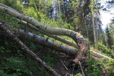
Where's the trail crew when you need them?
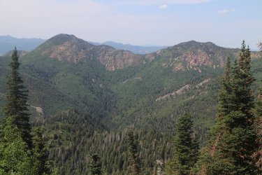
There were excellent views from the connector trail though. This shot shows an excellent view of the hike I did the previous week
from Mount Aire, east along the ridgeline to Peak 8490 and beyond.
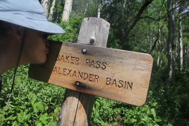
Kissing the junction sign that marked the end of the connector trail.
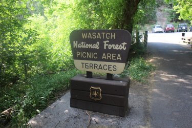
Almost back to my Jeep which is parked across the road.
The End.
Here are some shots of my hike.

Overview map of my route

Closed gate to the Terraces Picnic Area where the official trailhead is located, about 1/4 mile up the road.

Mallow Ninebark

Wilderness Boundary

Thimbleberry

Geranium

Columbine

More Columbine

Wasatch Beardtongue

Mule Ears

Starting to break our with some views - Peak 8656

Lupine

Wild Rose

Cinquefoil

Scarlet Gilia

Yellow Salsify

Monument Plant

Ninebark along the trail

Mount Raymond comes into view

Connector trail junction sign that I would use to get back to Bowman Fork

Aspen

View back down the lower end of Porter Fork with Grandeur Peak in the distance

Canada Violet

Deer ahead

Mount Raymond

Looking back towards Millcreek Canyon

Mount Raymond, viewed from Baker Pass

Working my way up the ridge

Beginning of the first scramble section

Ran into this guy on the second scramble part

For whatever reason he never rattled at me

Peek-a-boo

And off it goes

Almost there

View of Wildcat Ridge

Geologic Survey Marker on the summit of Raymond

A look up Broads Fork Canyon, across Big Cottonwood Canyon, with Dromedary, Sunrise and Broads Fork Twin Peaks

Hey @The Trout Whisperer, I found this rusty saw on the summit. I figured we could use it for your toe issues instead of the hatchet.

A look to the east at Gobblers Knob

A view up Big Cottonwood Canyon

Gobblers Knob from Baker Pass

Looking back at Mount Raymond, viewed just off the summit of Gobblers Knob

On the summit of Gobblers Knob

Heading down off of Gobblers towards Alexander Basin

View down into Alexander Basin

Cut-leaf Kittentail

Some snow still left in the basin - Millvue Peak in the distance

Continuing down the basin with (L-R) Mount Aire, Peak 8490, Millvue Peak, Peak 9074 along the Millcreek ridgeline

Junction sign for the connector trail that leads back to the Bowman Fork Trail. @regehr
had warned me that this trail was for the most part uphill, and he wasn't kidding. Not
only that, but there was quite a bit of downfall across this trail too, and the day was really
beginning to heat up. My legs were tired by this time, so this was a tough stretch for me.
I had the connector trail blues.
to myself and drooling along this stretch.

Where's the trail crew when you need them?

There were excellent views from the connector trail though. This shot shows an excellent view of the hike I did the previous week
from Mount Aire, east along the ridgeline to Peak 8490 and beyond.

Kissing the junction sign that marked the end of the connector trail.

Almost back to my Jeep which is parked across the road.
The End.
Last edited:

