John Goering
Member
- Joined
- Sep 30, 2014
- Messages
- 495
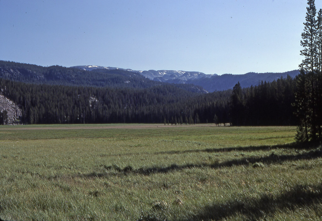
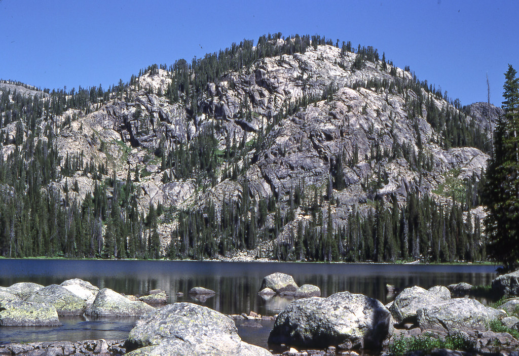
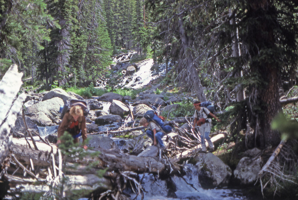
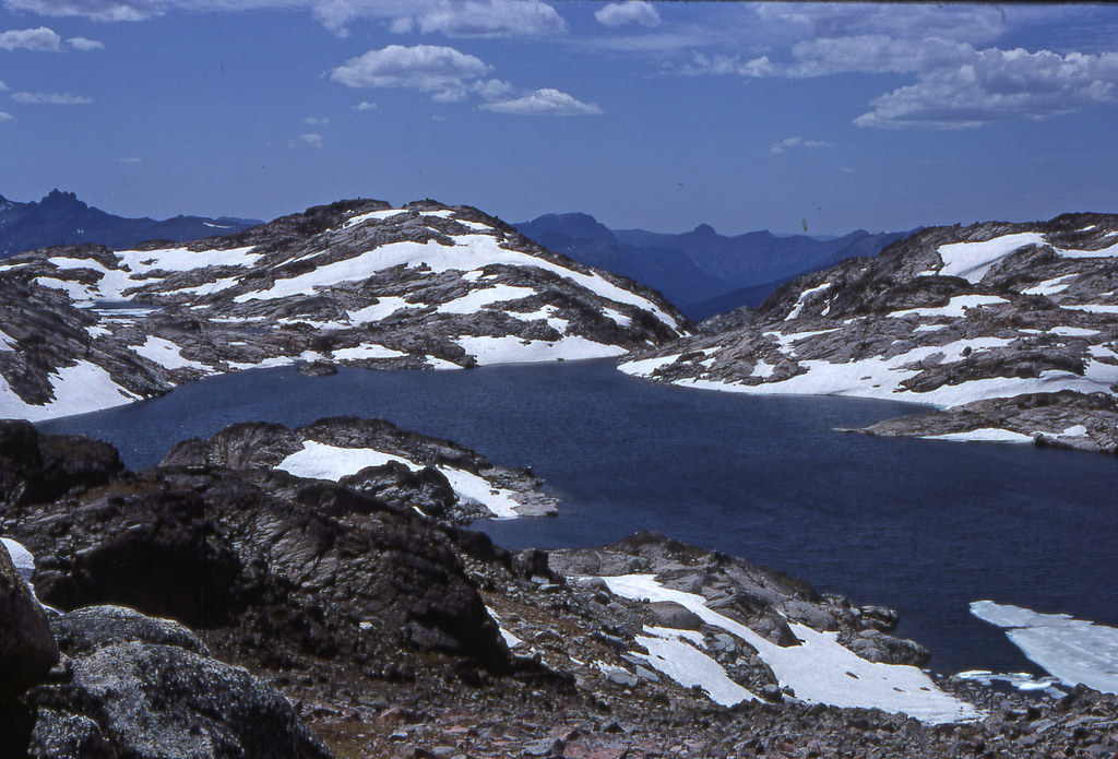
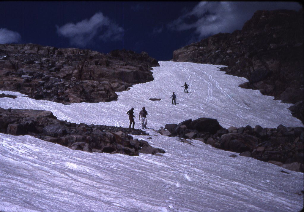
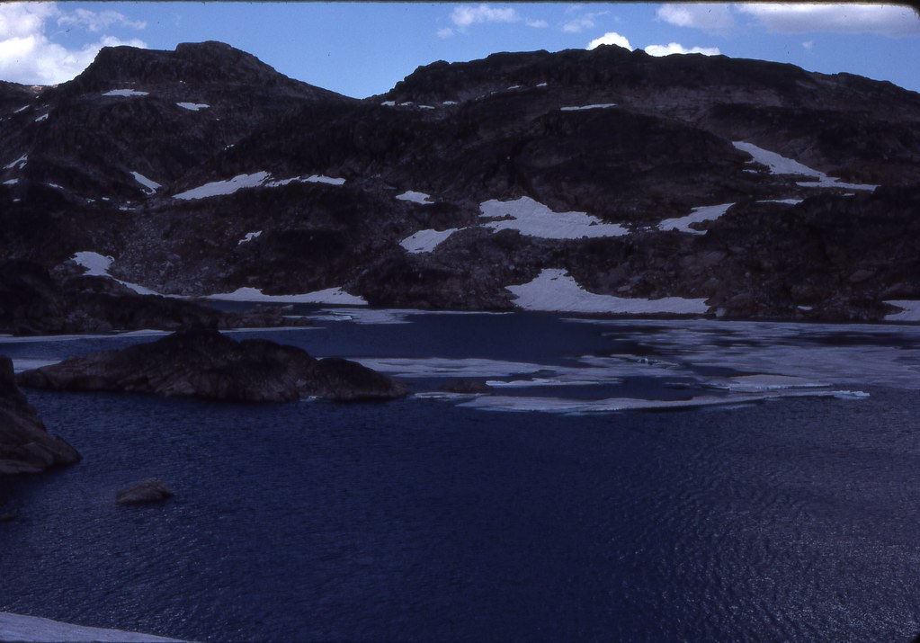
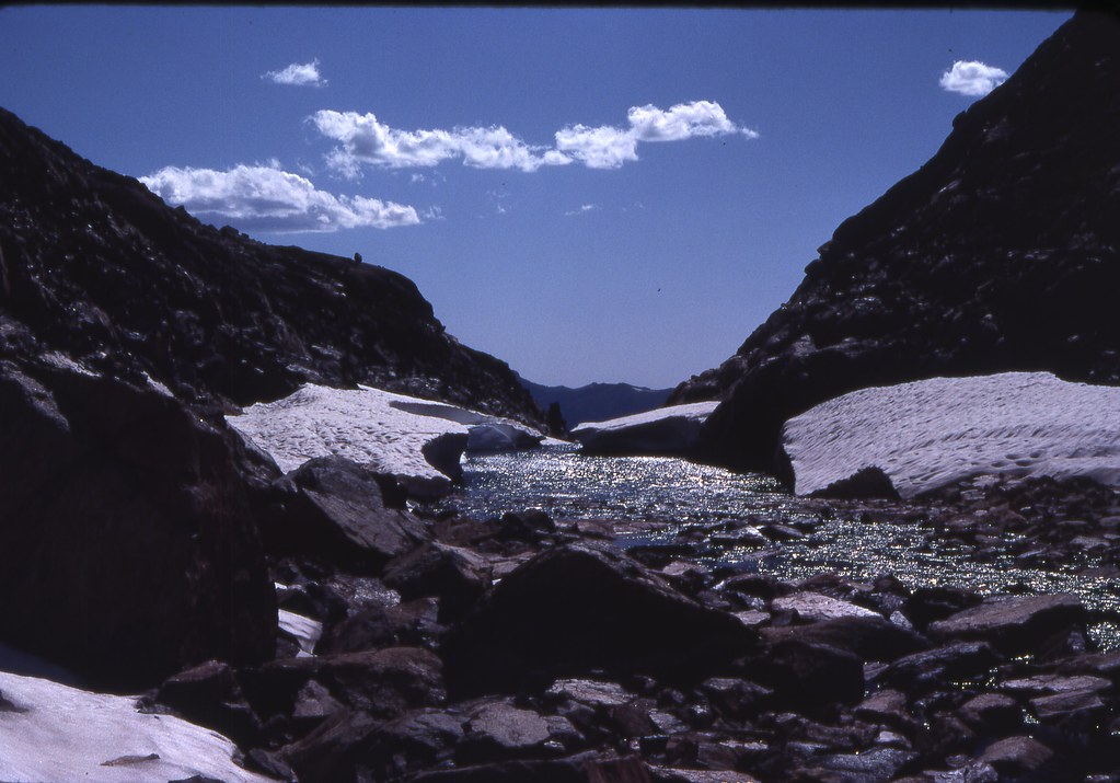
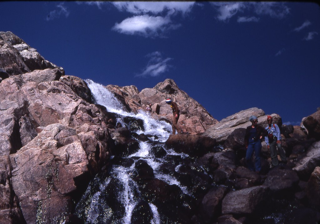
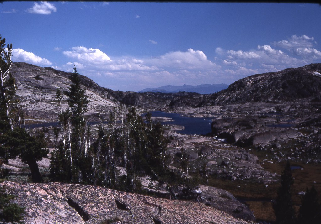
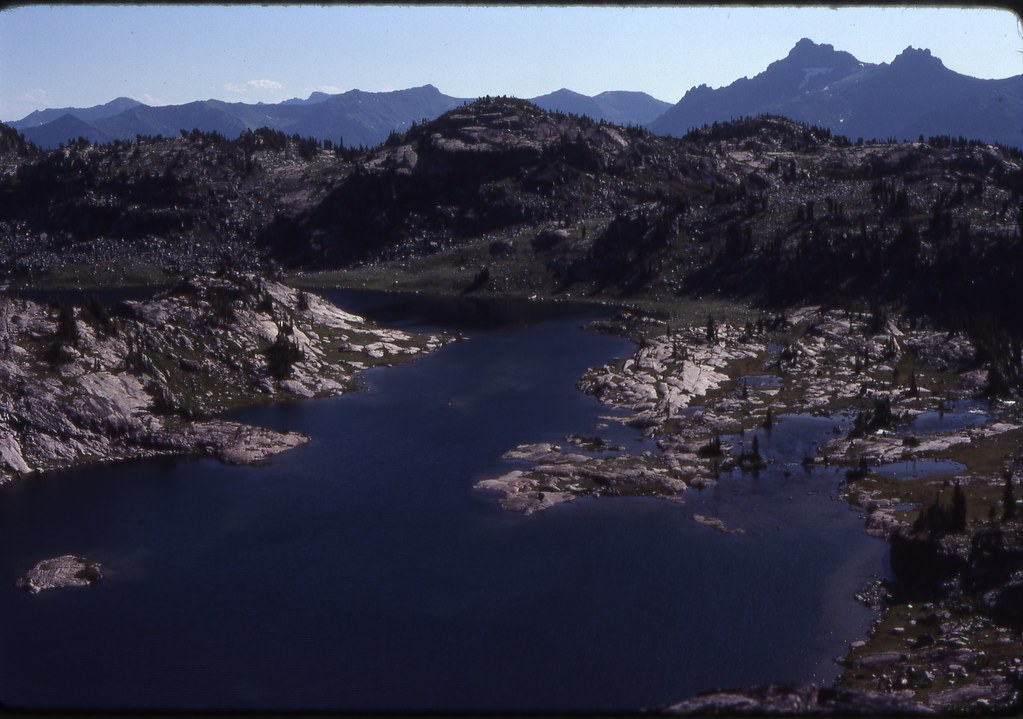
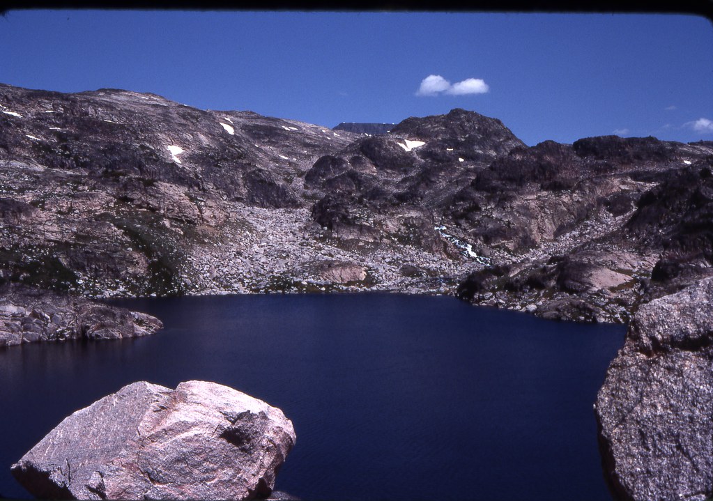
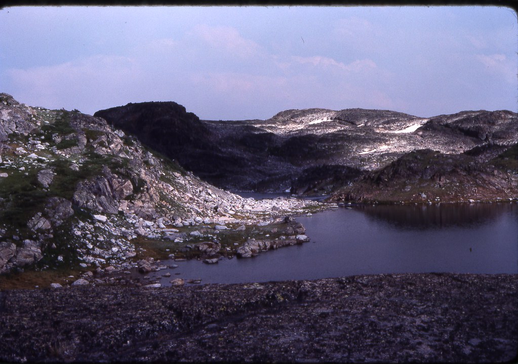
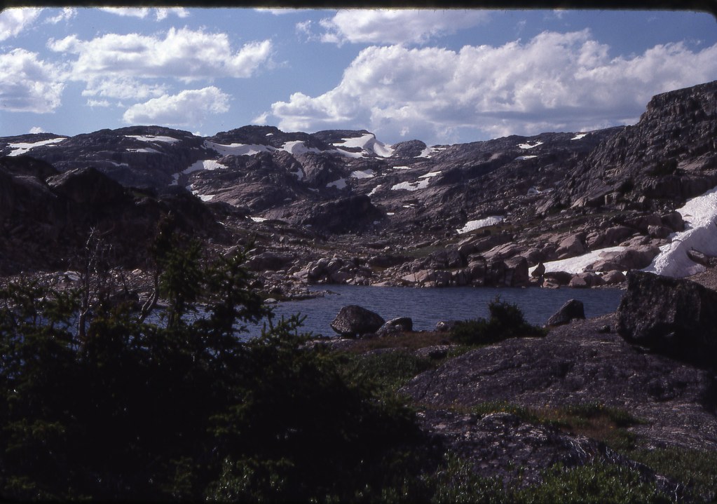
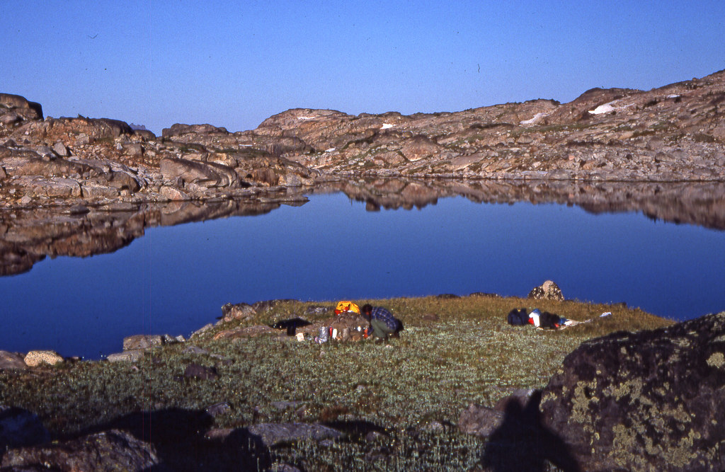
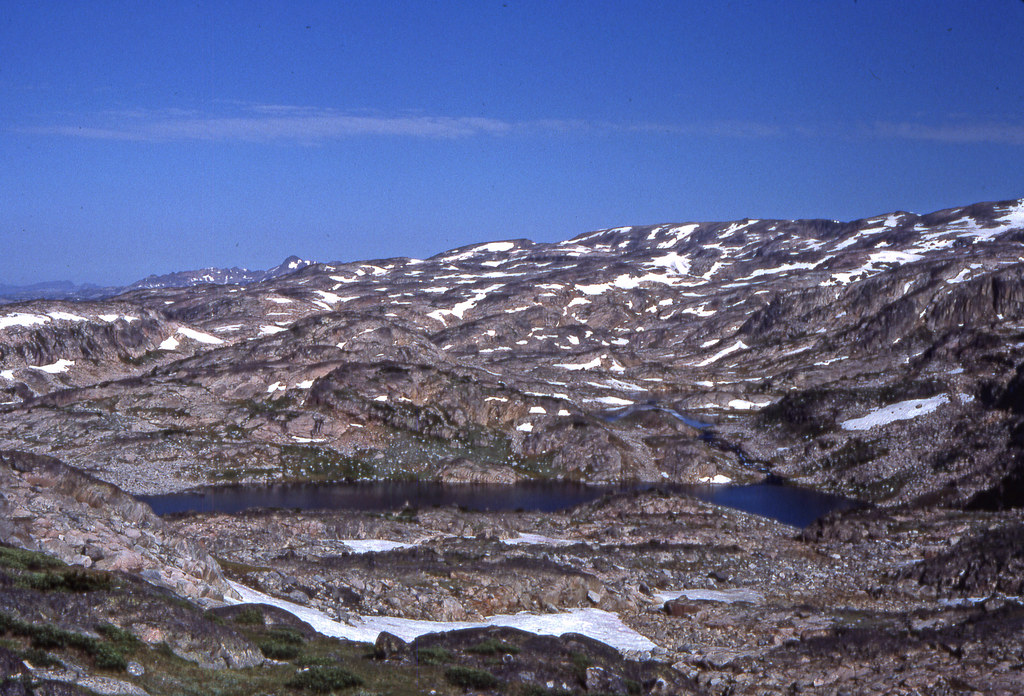
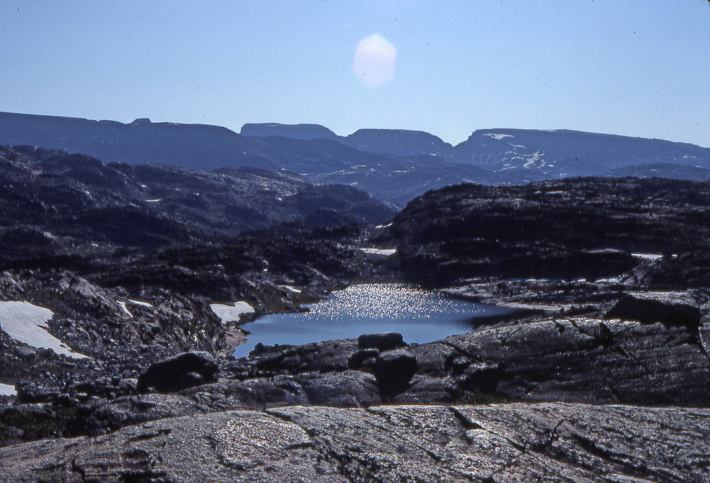
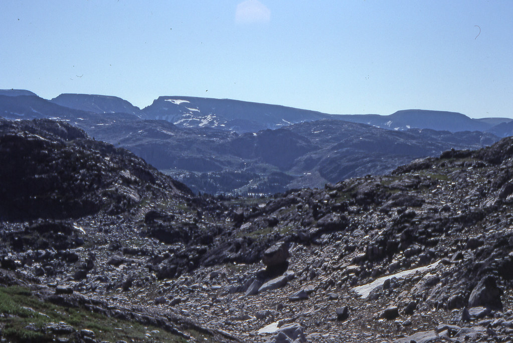
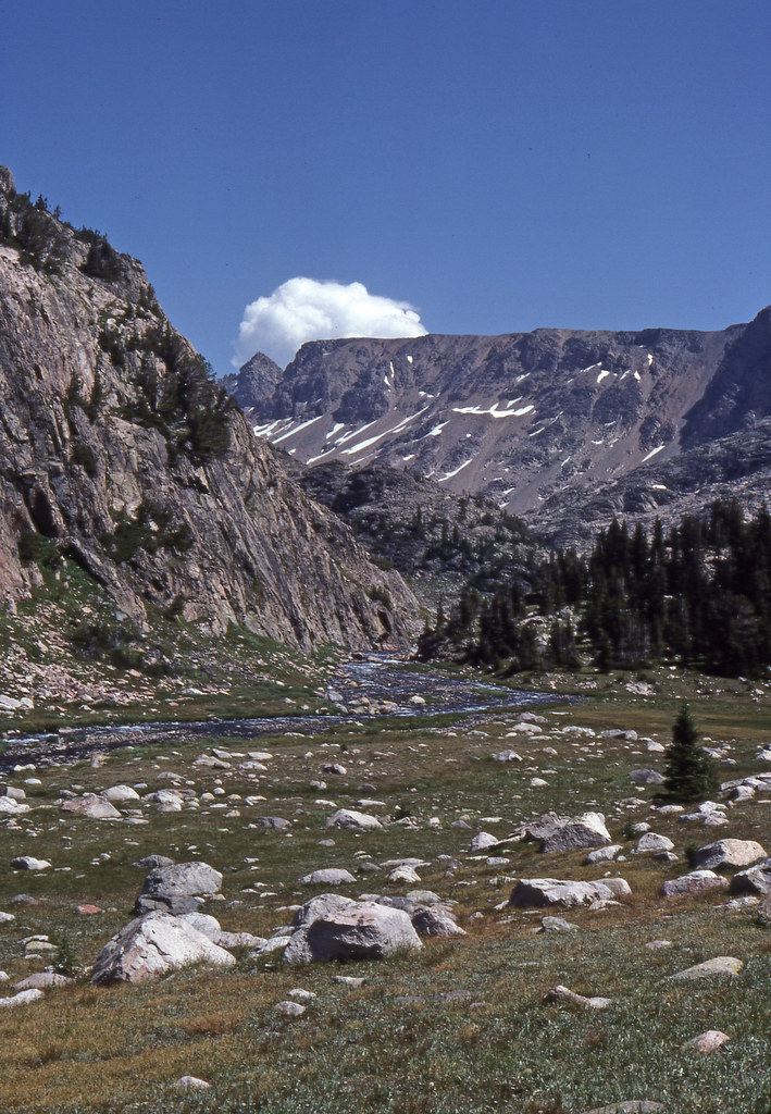
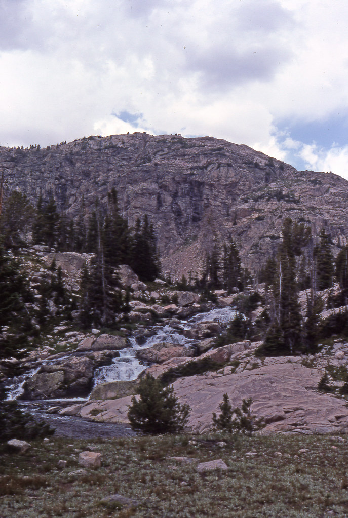
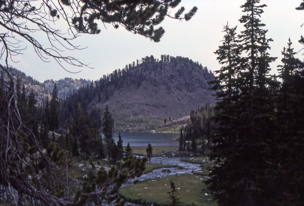
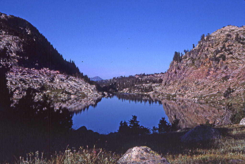
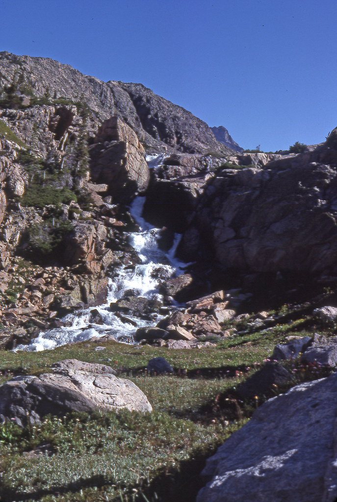
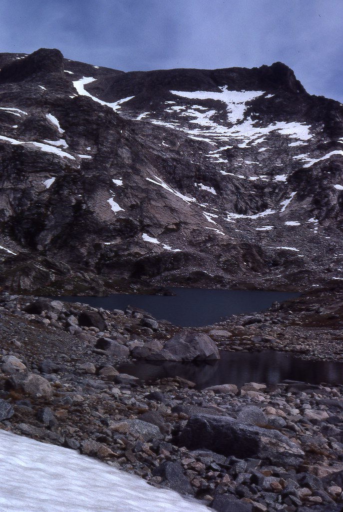
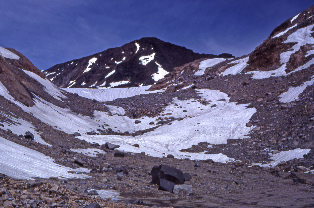
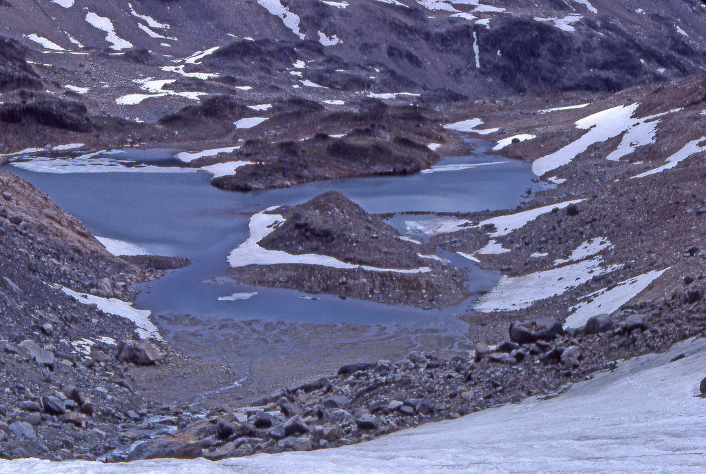
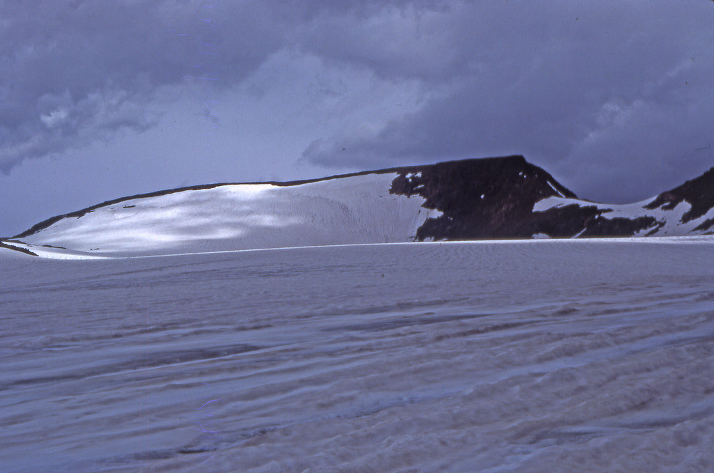
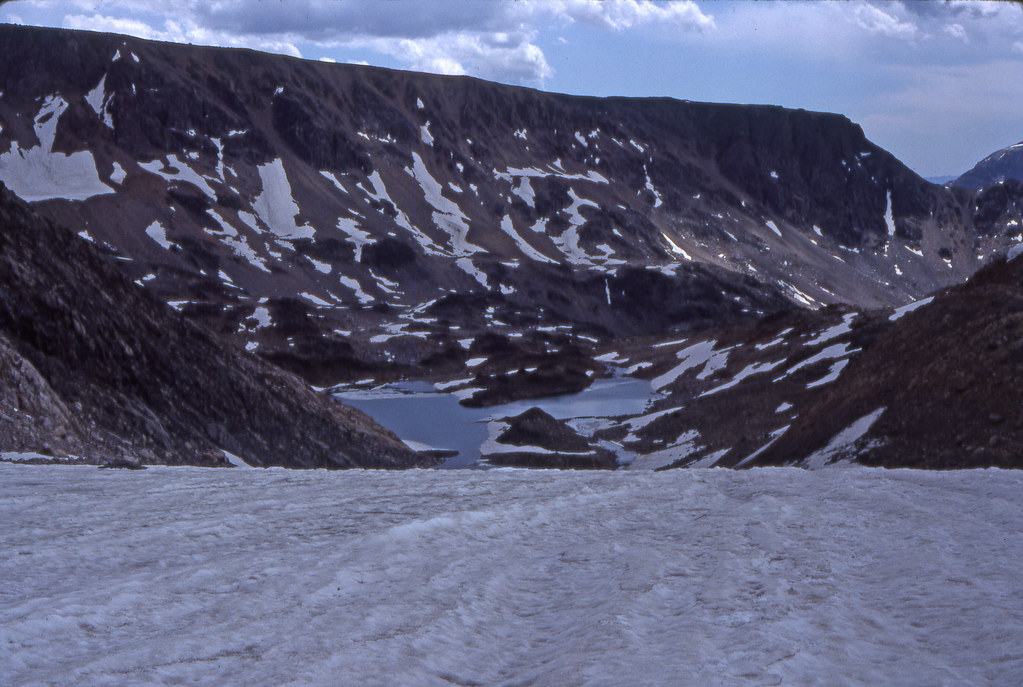
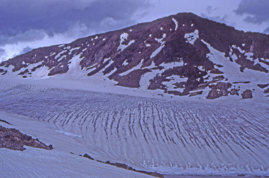
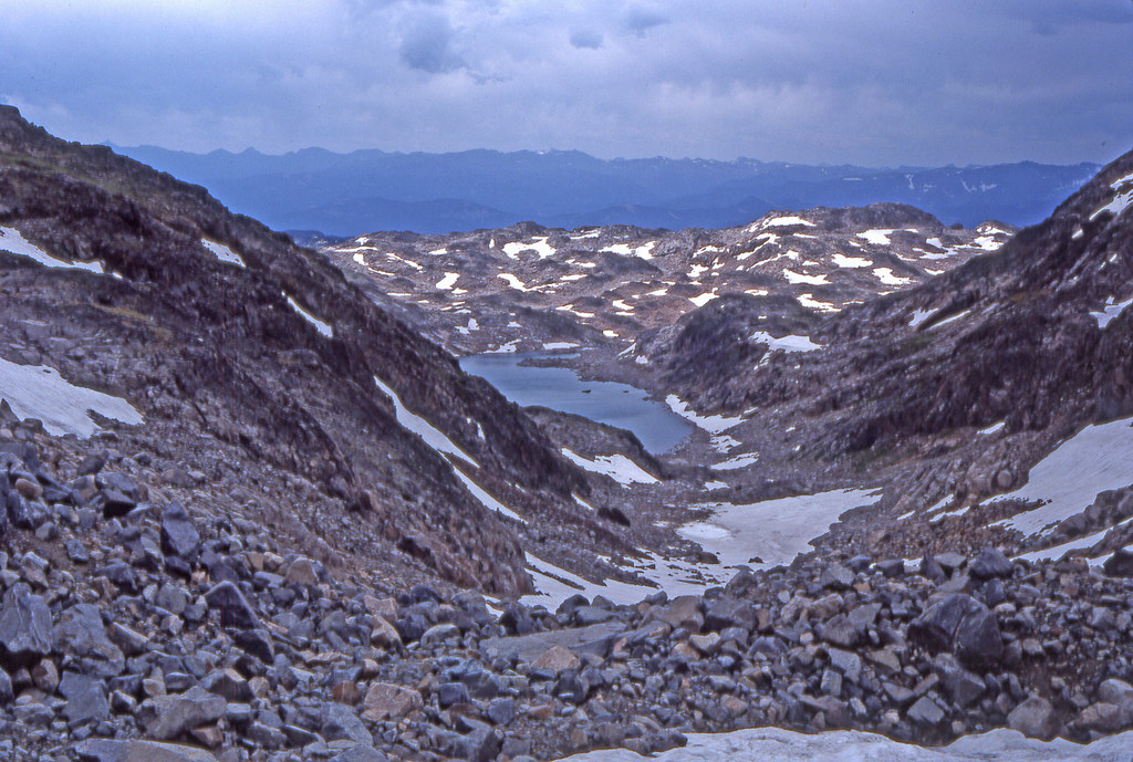
This was a 8 day trip that started at the same place as the 1980 trip, the Chief Joseph Trailhead. We stayed on the Beaten Path to Russel Lake, thence to Mariane where we camped two nights with a day trip up past Red Rock Lakes to Summit Mountain. The third night was spent at Big Butte Lake, the 4th and 5th nights at Castle Lake with another day trip visit to Castle Rock Glacier. The 6th night was at Donelson, and the last night at Keyser Brown Lake with the exit out to the Lake Fork Trailhead. Roughly 70 something miles total.
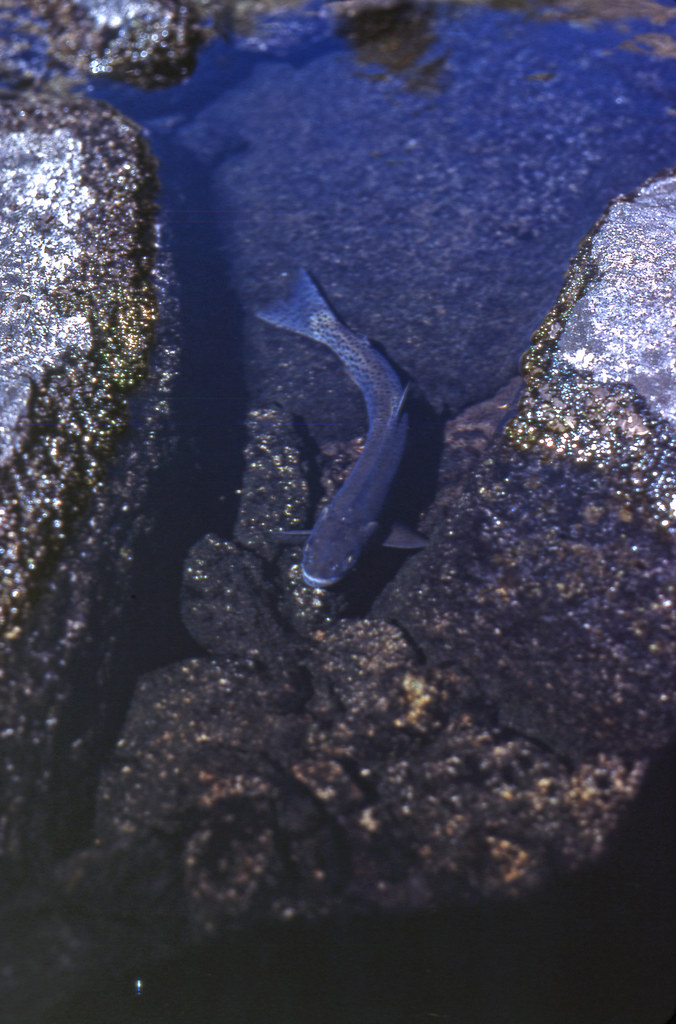
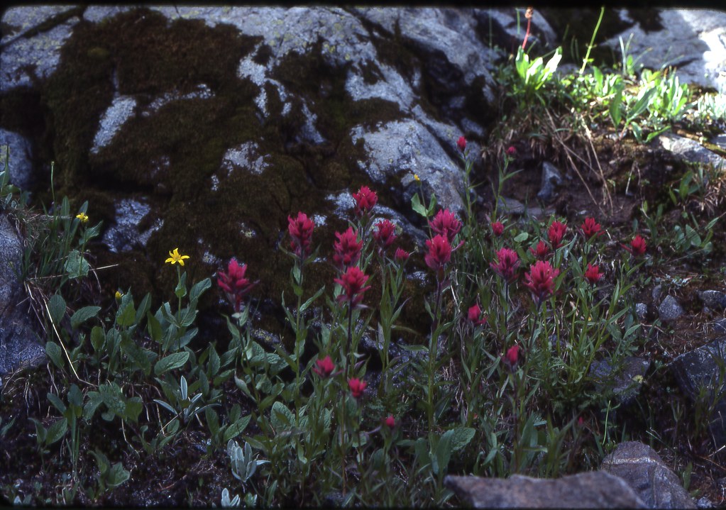
The always impressive fen above Kersey Lake
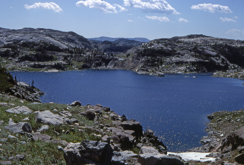
Pilot and Index Peaks
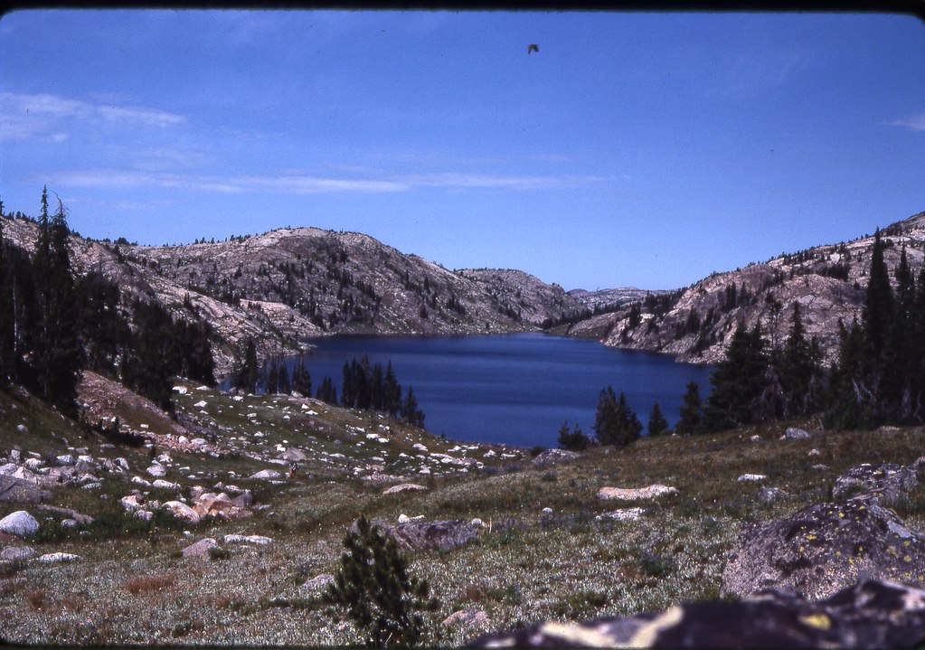
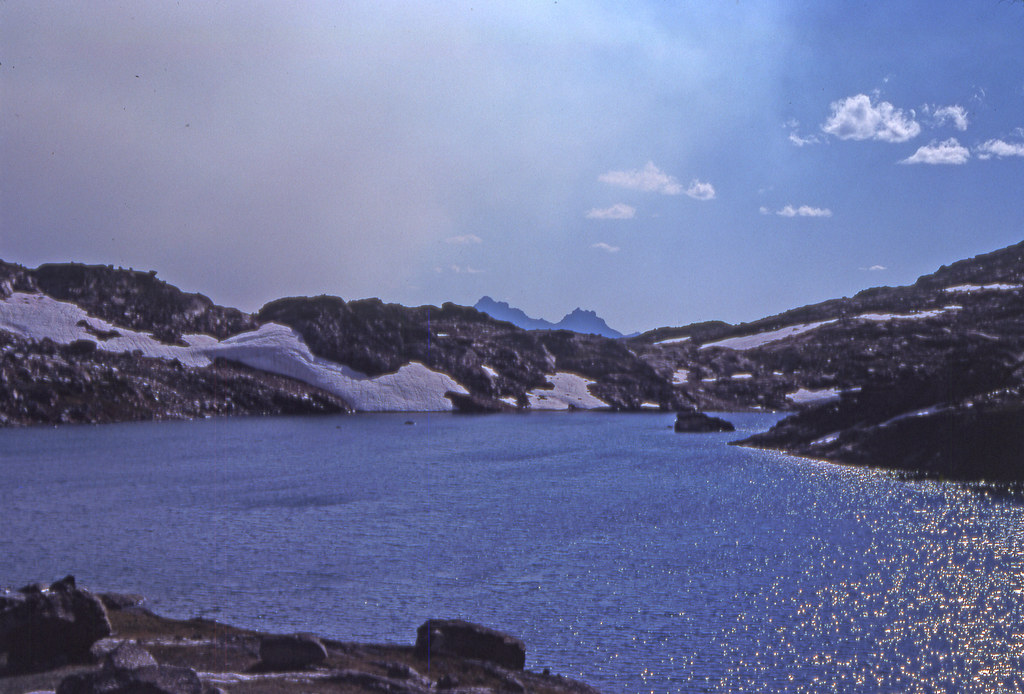
Lake of the Winds and Mariane
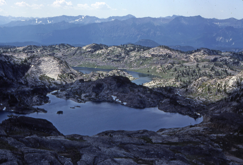
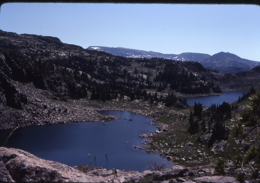
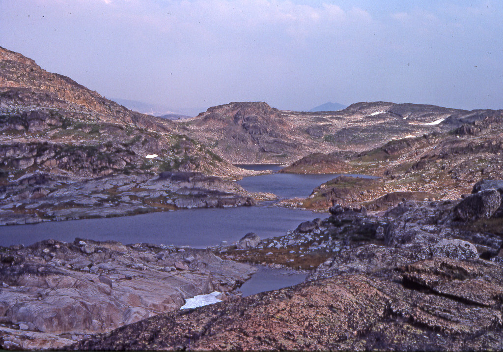
Heading up past Red Rock Lakes
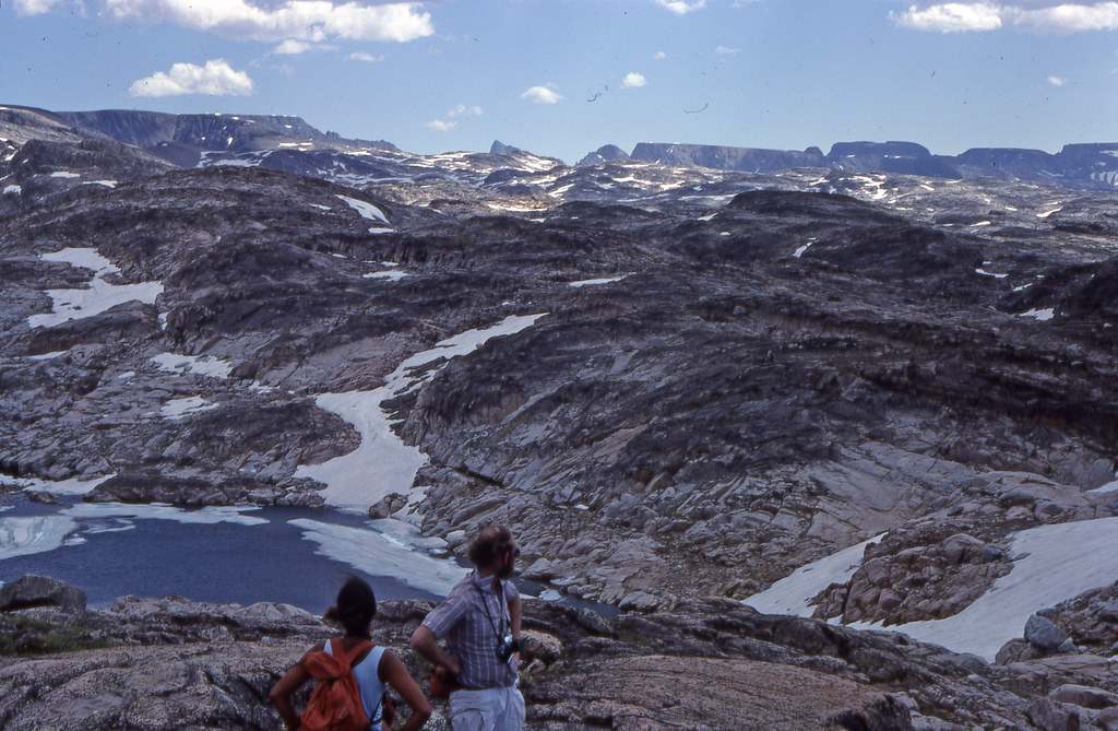
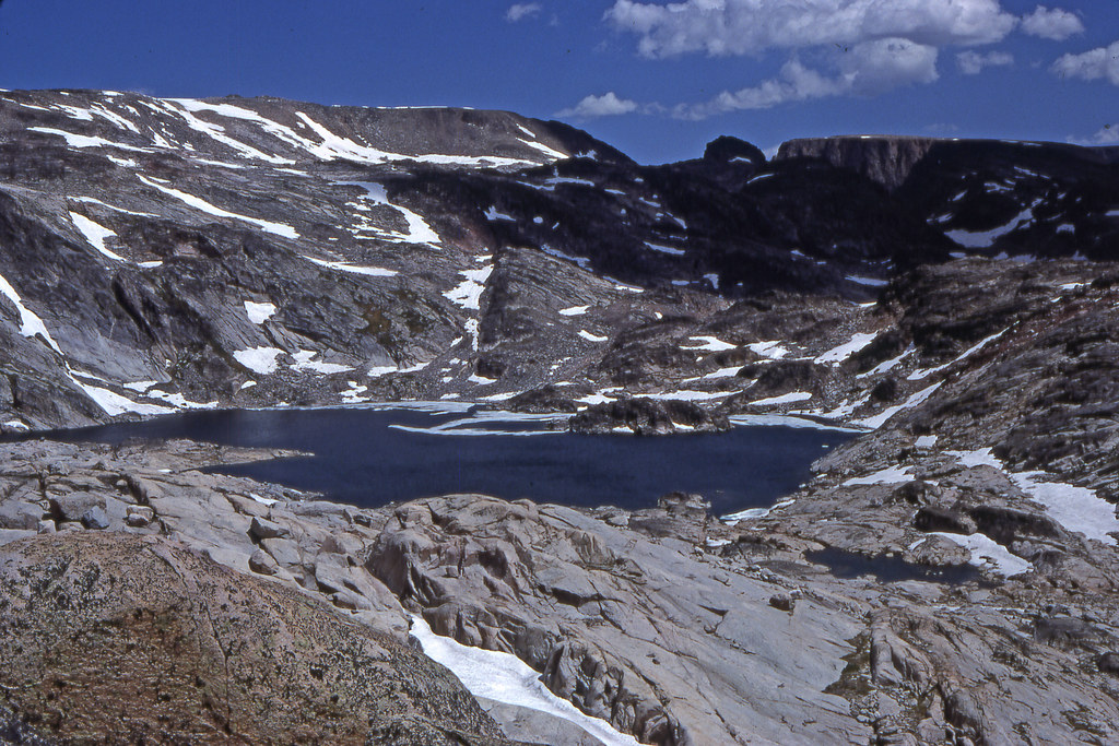
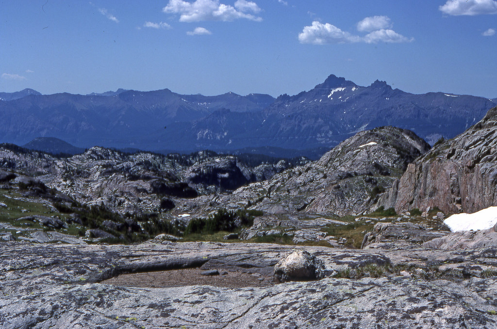
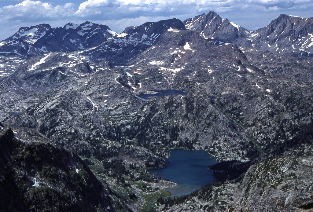
On Summit Mountain looking north across the upper reaches of East Rosebud Creek. Right to left, Tempest Mountain, Granite Peak, Cairn Mountain (the hump), Mount Villard and The Spires, and Glacier Peak on far left, all 12,000' plus.
The always impressive fen above Kersey Lake


Pilot and Index Peaks


Lake of the Winds and Mariane

Heading up past Red Rock Lakes


On Summit Mountain looking north across the upper reaches of East Rosebud Creek. Right to left, Tempest Mountain, Granite Peak, Cairn Mountain (the hump), Mount Villard and The Spires, and Glacier Peak on far left, all 12,000' plus.


![[IMG] [IMG]](/proxy.php?image=https%3A%2F%2Flive.staticflickr.com%2F65535%2F53528652507_431c48b7d4_b.jpg&hash=81d99258097e7412e3c8cec35877cde8)
![[IMG] [IMG]](/proxy.php?image=https%3A%2F%2Flive.staticflickr.com%2F65535%2F53529551431_23d849ed4b_b.jpg&hash=1a31250a265ffe7d6e9229144c1edb83)
![[IMG] [IMG]](/proxy.php?image=https%3A%2F%2Flive.staticflickr.com%2F65535%2F53529737878_c5ecc04179_b.jpg&hash=f87a0a383f2ed46114a92029060f94a4)
![[IMG] [IMG]](/proxy.php?image=https%3A%2F%2Flive.staticflickr.com%2F65535%2F53528650832_cc8bd19b6e_b.jpg&hash=3c2d35e0ee52bffbd7ca0196cd711d77)
![[IMG] [IMG]](/proxy.php?image=https%3A%2F%2Flive.staticflickr.com%2F65535%2F53529549476_842fe11d1e_b.jpg&hash=2f6f7a98f38c17f9ec03944ff9c81167)
![[IMG] [IMG]](/proxy.php?image=https%3A%2F%2Flive.staticflickr.com%2F65535%2F53529736403_db6f225ccd_b.jpg&hash=bfa2c6e6813605435cf4315540542662)
![[IMG] [IMG]](/proxy.php?image=https%3A%2F%2Flive.staticflickr.com%2F65535%2F53528648382_274b5604c7_b.jpg&hash=de5fdc2fde6d43f679a86cc150e19a8e)
![[IMG] [IMG]](/proxy.php?image=https%3A%2F%2Flive.staticflickr.com%2F65535%2F53528649662_ab88f03c66_b.jpg&hash=f2ea0690504c8f129858e042833e42f7)
![[IMG] [IMG]](/proxy.php?image=https%3A%2F%2Flive.staticflickr.com%2F65535%2F53529735043_12c6f60274_b.jpg&hash=2e89f771515c2c2b06b1e6ccedef70e5)
![[IMG] [IMG]](/proxy.php?image=https%3A%2F%2Flive.staticflickr.com%2F65535%2F53529861849_2182565e3e_b.jpg&hash=2da1a2354048050ad49e5015d6aef9d3)
![[IMG] [IMG]](/proxy.php?image=https%3A%2F%2Flive.staticflickr.com%2F65535%2F53529546806_614234de29_b.jpg&hash=cc84370d805872b7421634484ede8f50)
![[IMG] [IMG]](/proxy.php?image=https%3A%2F%2Flive.staticflickr.com%2F65535%2F53529861509_d0eebf606d_b.jpg&hash=1b511781a68266ce9ee055213f05458f)
![[IMG] [IMG]](/proxy.php?image=https%3A%2F%2Flive.staticflickr.com%2F65535%2F53529861029_ae6f181f9a_b.jpg&hash=f6c1f7b0b613c2b4e4ef3a6780238842)