westy
Member
- Joined
- Mar 10, 2016
- Messages
- 224
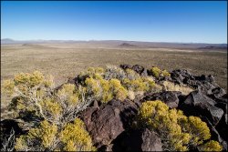
I love autumn in the Mojave, warm days & chilly nights. And no more Mojave Greens to look out for ! So I headed into the MNP to camp and hike near the cinder cones, Club peak (NUB bm) area. Made it to a camp late afternoon and took off up Button Mountain, one of said cinder cone remnants, and took in the views for a bit before going down to dine and tuck in for the increasingly longer nights.
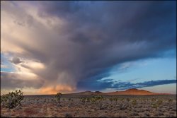
Next morning it was early up to ooh and ahh over the sunrise and a nice cloud formation over Club.
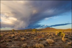
After some food, and packing food and water for the day, I headed off along an old road thru the Joshua tree forest, getting nice changing views of Club and cinder cones along the way.
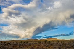
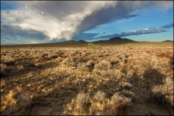
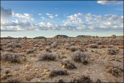
The old road made a great route, curving thru the J-tree forest as it headed towards the steep west faces by way of the gentle east slopes. First stop was up 1378-T
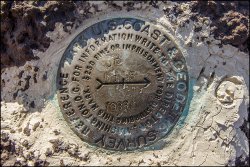
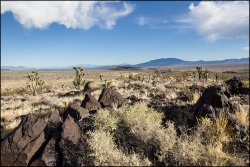
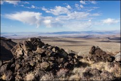
Then 1467 T.
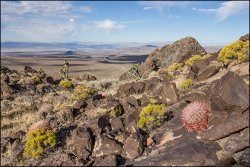
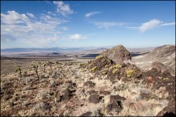
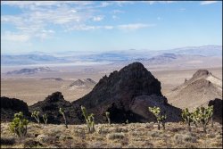
And then 1441 T
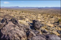
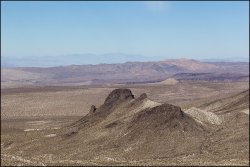
And then up Club peak (NUB bm).
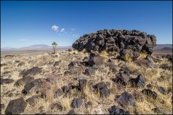
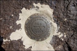
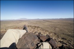
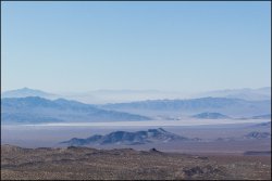
It must have been much windier to the SW, there was a huge sandstorm filling a valley yonder way.
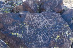
Then back down to the truck along a wash where there was a small panel of squiggly petroglyphs, only a 15 minute walk or so from the main road.
Another great day playing outside!
Next morning it was early up to ooh and ahh over the sunrise and a nice cloud formation over Club.

After some food, and packing food and water for the day, I headed off along an old road thru the Joshua tree forest, getting nice changing views of Club and cinder cones along the way.


The old road made a great route, curving thru the J-tree forest as it headed towards the steep west faces by way of the gentle east slopes. First stop was up 1378-T


Then 1467 T.


And then 1441 T


And then up Club peak (NUB bm).


It must have been much windier to the SW, there was a huge sandstorm filling a valley yonder way.

Then back down to the truck along a wash where there was a small panel of squiggly petroglyphs, only a 15 minute walk or so from the main road.

Another great day playing outside!
