Curt
Member
- Joined
- Feb 1, 2014
- Messages
- 426
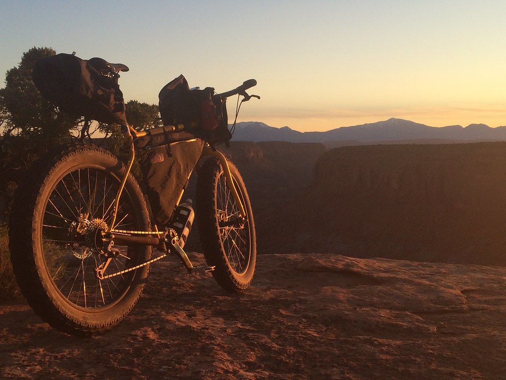
Seeing your pictures from Island In The Sky really spoke to me. I think its in my DNA. When my dad came home from WWII he met and married my mom and they moved to the area on the flats south of Island In The Sky. My dad prospected for Uranium mostly along the Colorado River basin between the Needles and Island In The Sky. They actually lived for an extended period at Dubinky Well in a small travel trailer that they were able to pull there behind a pickup. My arrival in the world precipitated a move to a more settled life in Grand Junction. I've never actually, in my memory, been to Dubinky Well and its in my bucket list to go see where my parents lived. Pictures from this area are really compelling for me and I think its one reason I like this web site so much. I really enjoyed seeing your pictures. Thank you for your mini trip report.


")
 IMG_0953
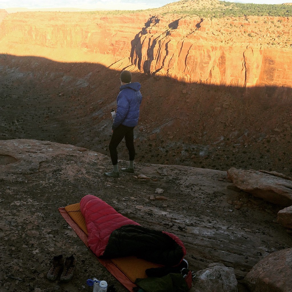 IMG_0995


 DSC05101
 Image 6-14-16 at 21.20


