- Joined
- May 16, 2016
- Messages
- 1,603
I'm going to post a photo heavy trip report here, but leave off some of the planning parts. If you want more detailed information about kayaking the Stockholm Archipelago, you can find it on my blog https://backpackandbeer.blogspot.com/2018/07/stockholm-archipelago.html
Lots of photos (mix of cell phone and real camera) ahead")
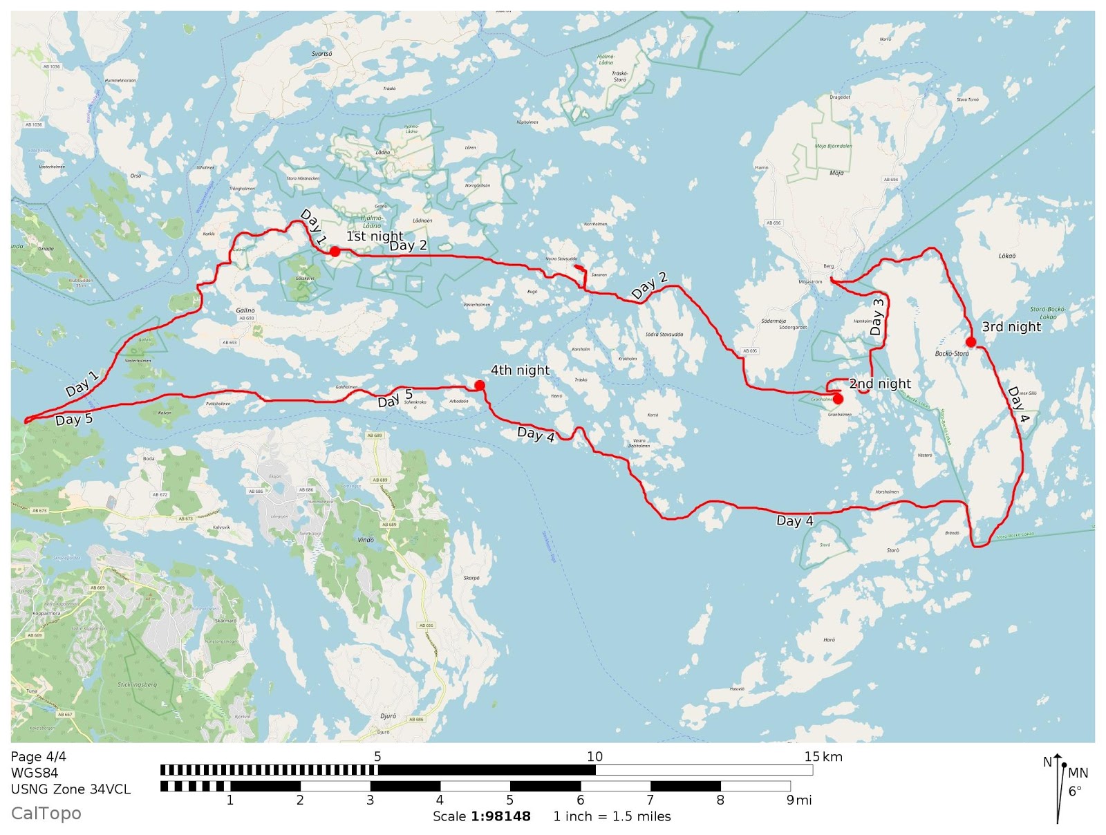
Day 1: 6.5 miles
Day 2: 9.5 miles
Day 3: 7 miles
Day 4: 12.5 miles
Day 5: 7 miles
Total = approximately 40 - 45 miles
Overview map (Stockholm is about 30 miles to the left)
To get to my kayak, I had about a one mile walk to the bus station and then about an hour ride, followed by a 3km road walk to get to the kayak rental place. The weather was nice so it just felt like an easy hike. I got to the kayak place about 1pm and found out that they did not sell denatured alcohol for my catfood stove, must have been the other kayak place that mentioned it on the website. The lady in charge was nice and set me up with a gas stove so I was able to heat water for breakfast/dinner. I filled my water bottles and loaded up the kayak and away I went.
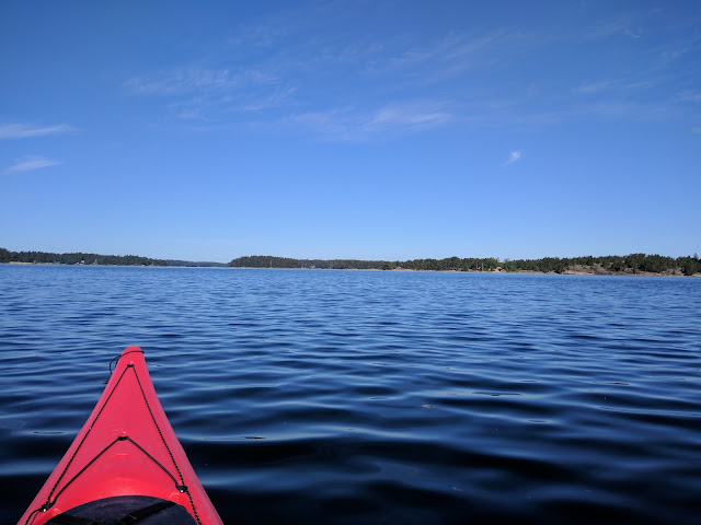
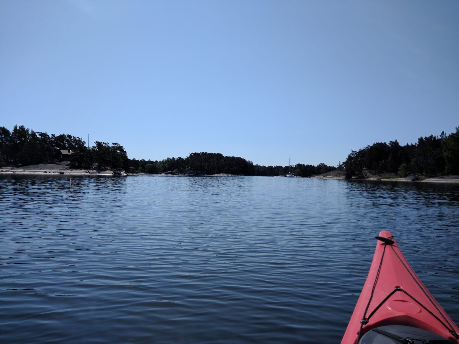
I headed basically north across the main channel directly into the wind. It was strong enough that waves were breaking across the bow and for a little bit I wished I had rigged the spray skirt. the paddling got a lot easier once I got out of the channel and into the shelter of some islands. I was very glad to not have to dodge any large ferries or other boats as I was crossing the channel.
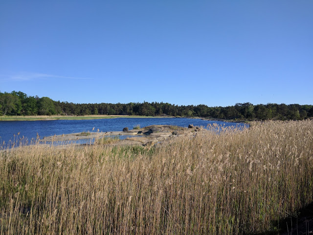
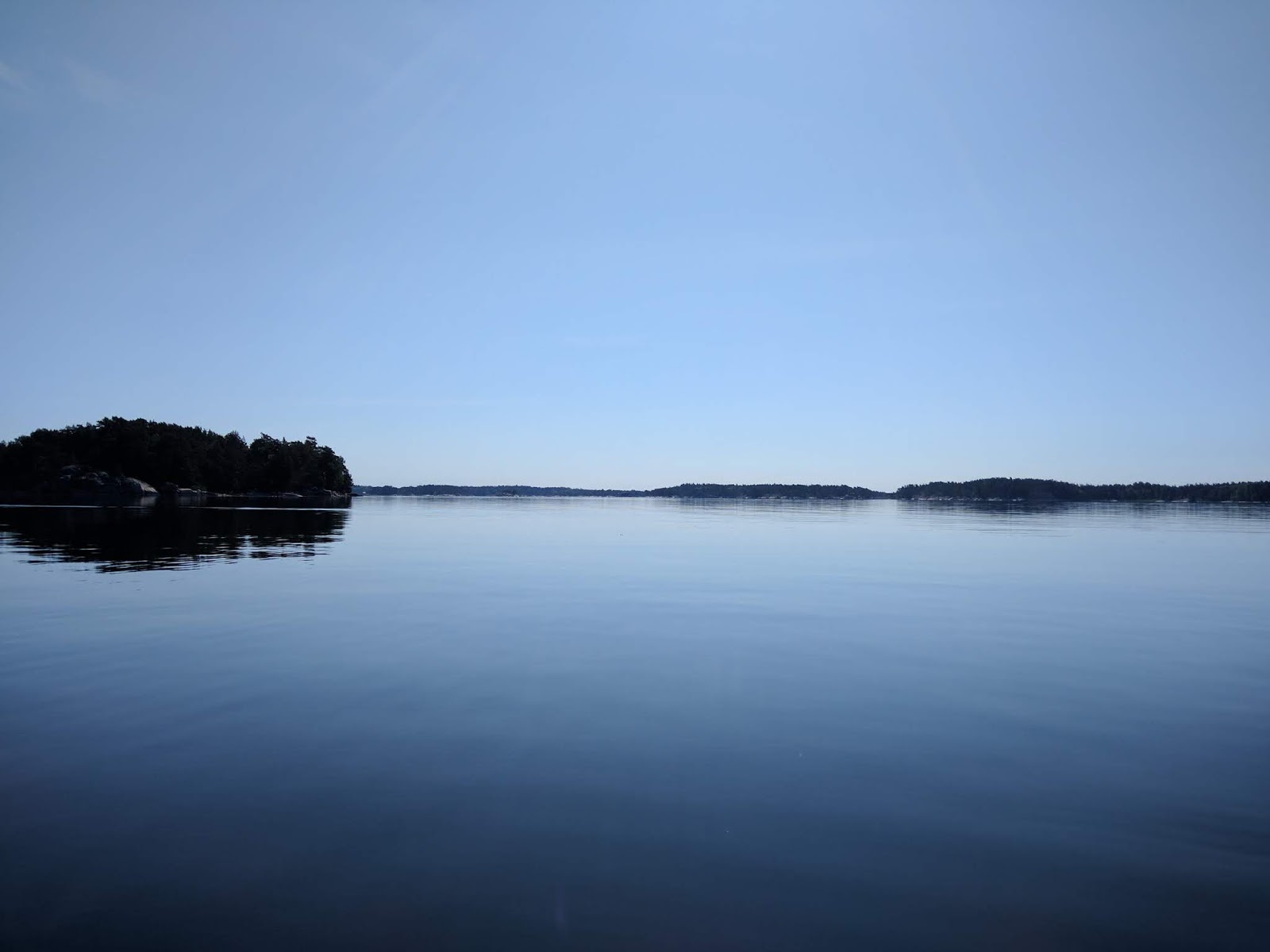
I weaved my way through the smaller islands near Gallno with no real destination in mind.
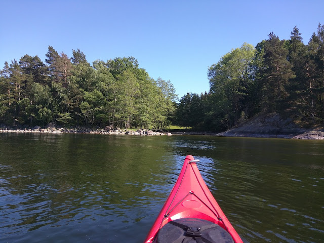
I paused to rest/stretch a couple of times.
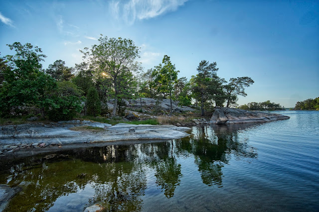
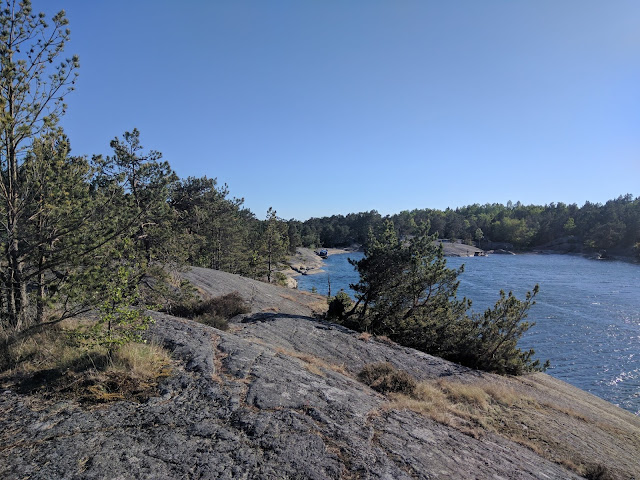
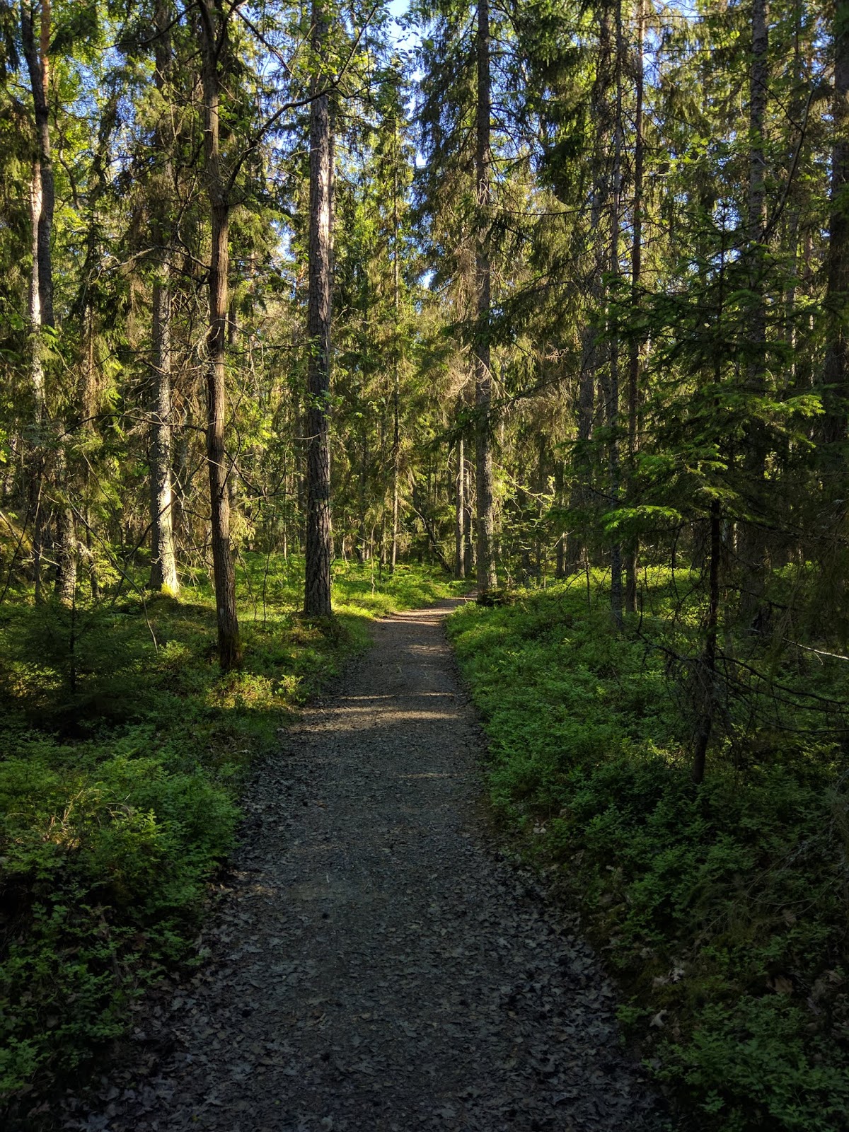
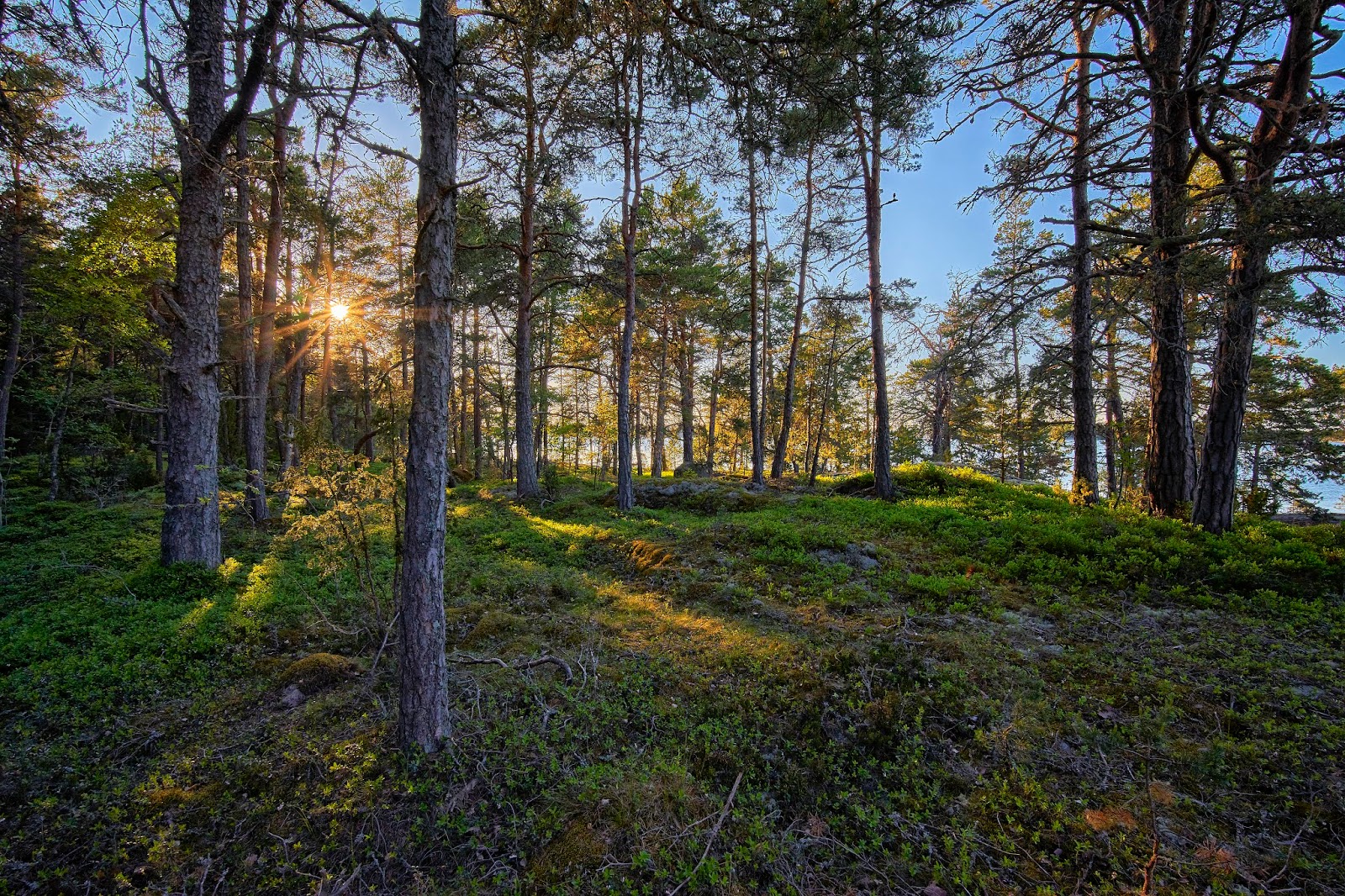
I got to do a little hiking as well, very pleasant walking with minimal bugs.

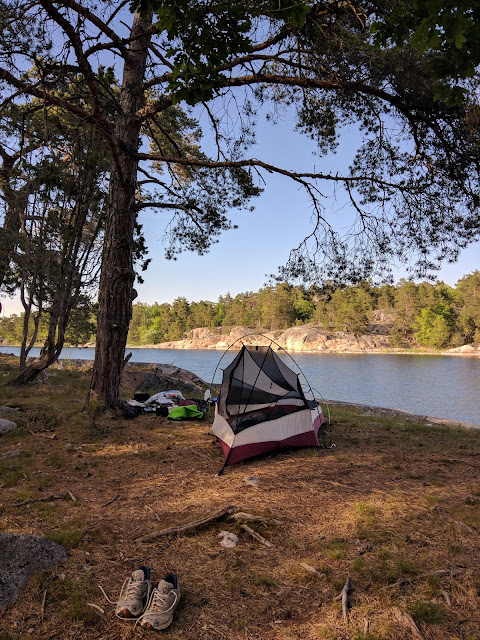
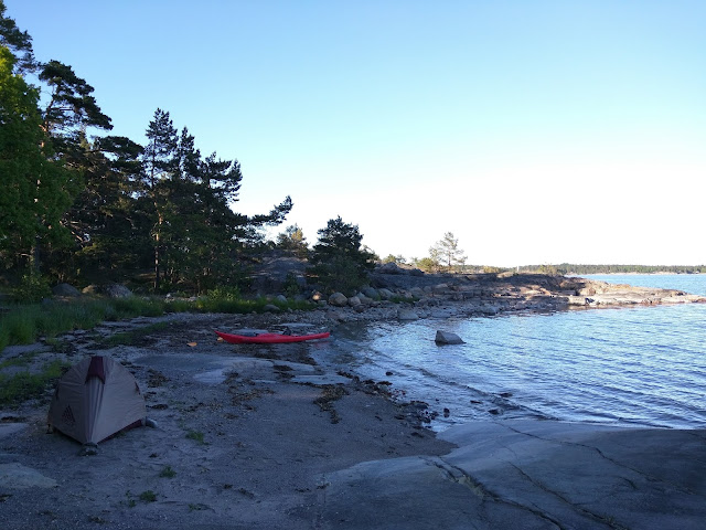
Then I paddled a little more until I found a place to set up camp near one of the Foundation outhouses on the island of Lisslo. There was an obvious path that I followed across the island past a couple of homes, but I did not see anyone.
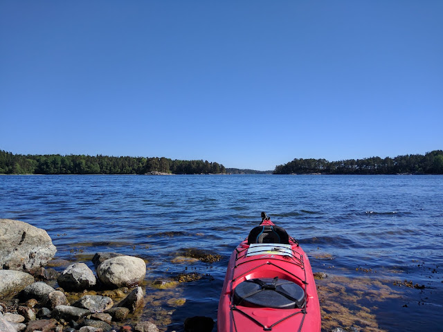
I woke the next morning to glass-like water. After paddling for about an hour I started wishing for a little bit of a breeze to cool me off.
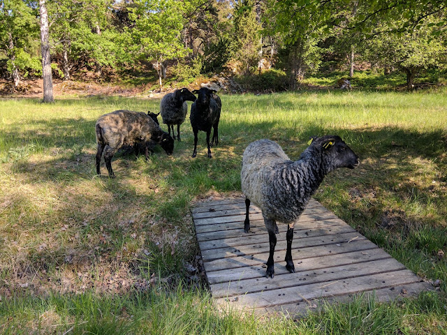
After paddling for about 6 hours with a lunch break and a couple miles walking on the road on the island of Sodermoja, I arrived on Granholmen where I found five very curious sheep in the field near the water well. This made me nervous about the quality of the water here. I still had enough until the next day, but I need to figure something out since I wasn't sure I had enough fuel to boil water for the rest of the trip.
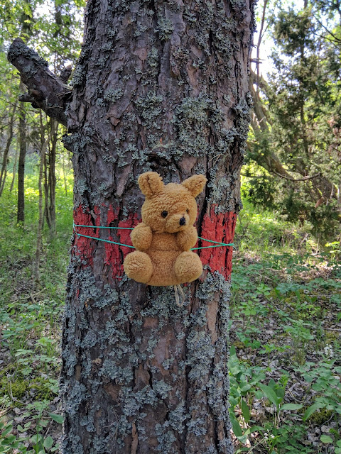
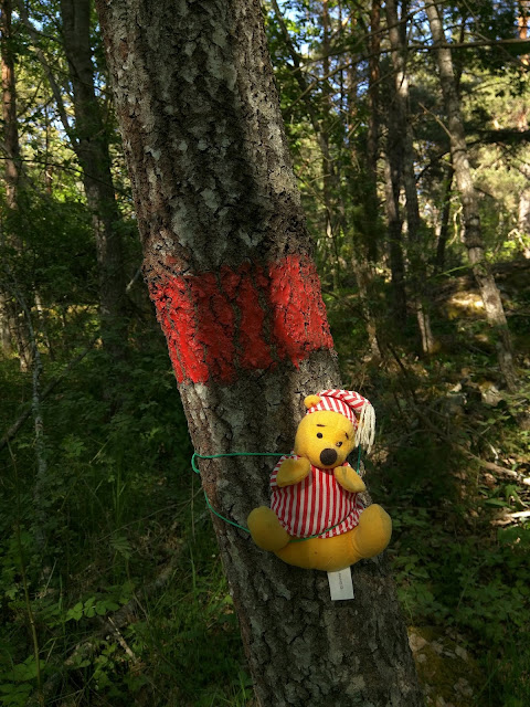
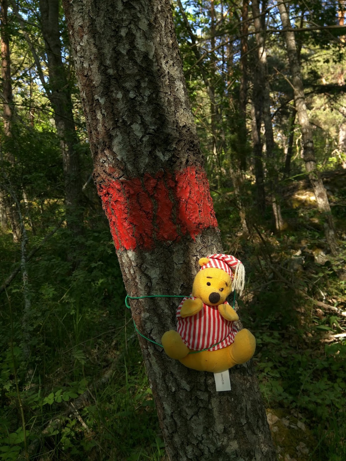
In the meantime, I followed the path south through the field and into the woods. There was a stretch where the trail was blazed with teddy bears ...
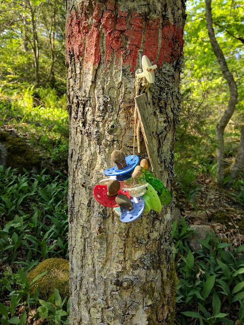
... and baby pacifiers.
Then back to a very nice campsite for dinner.
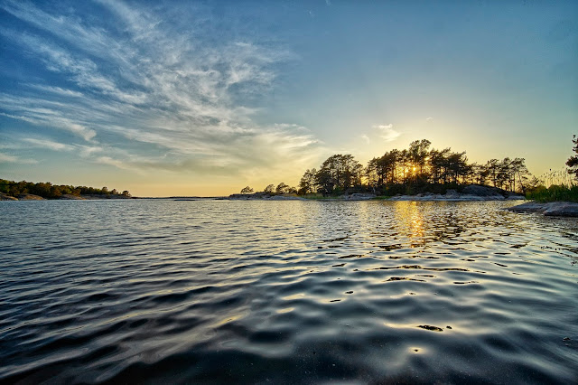
After dinner I took a short paddle in the little bay and explored a nearby island, ...
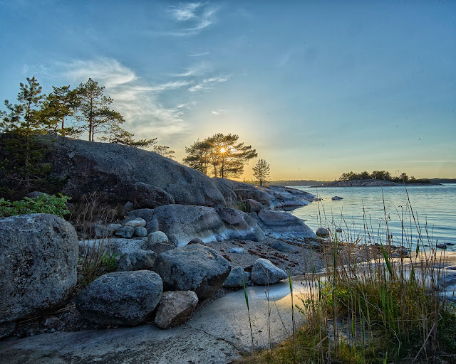
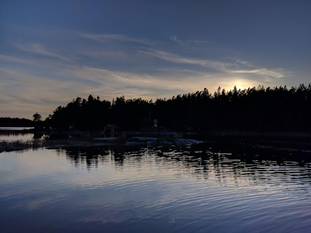
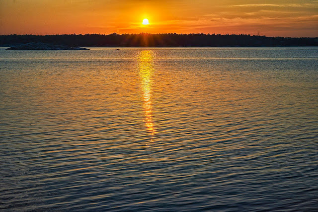
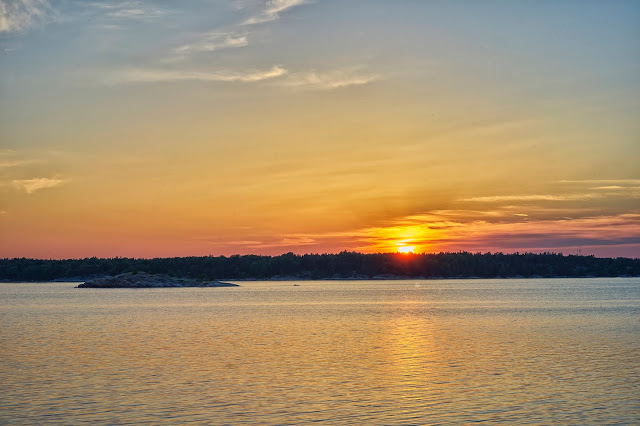
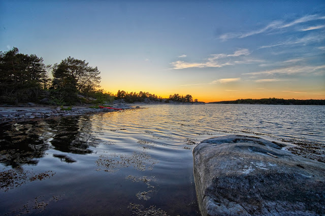
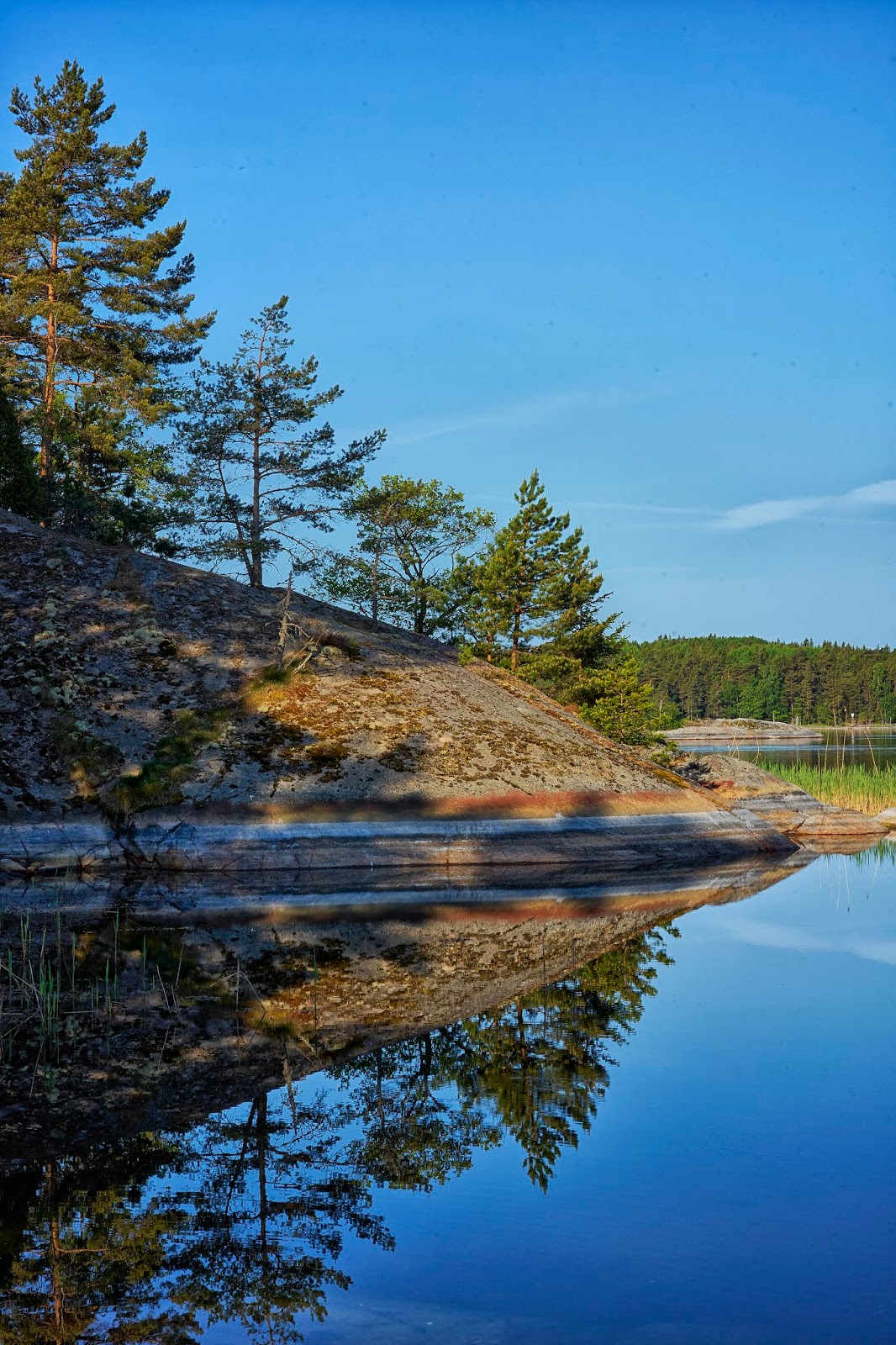
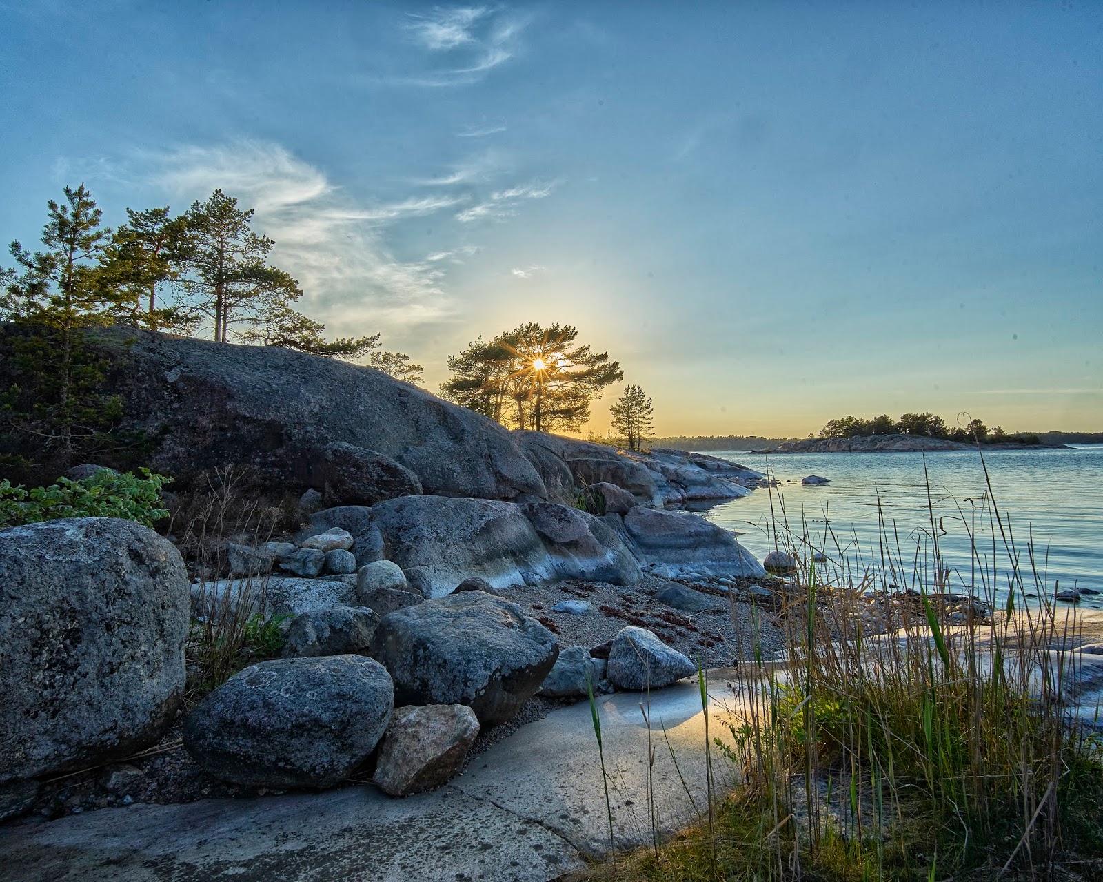
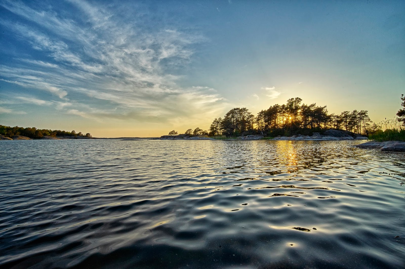
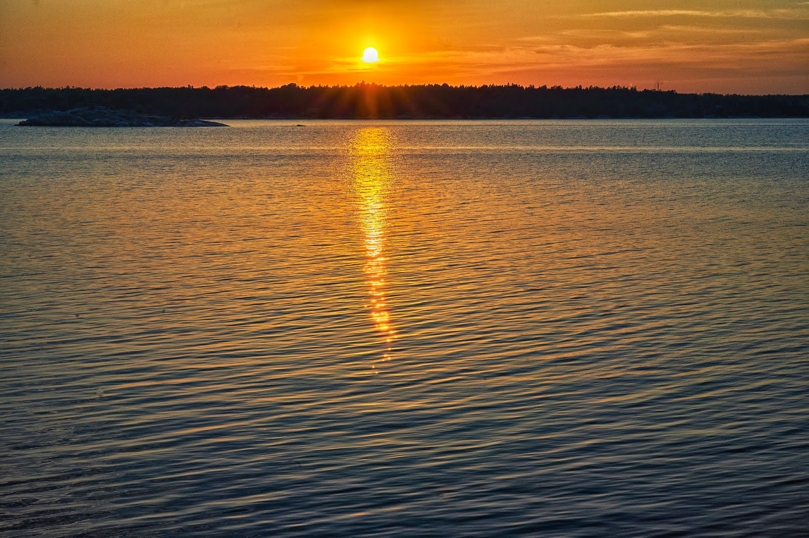
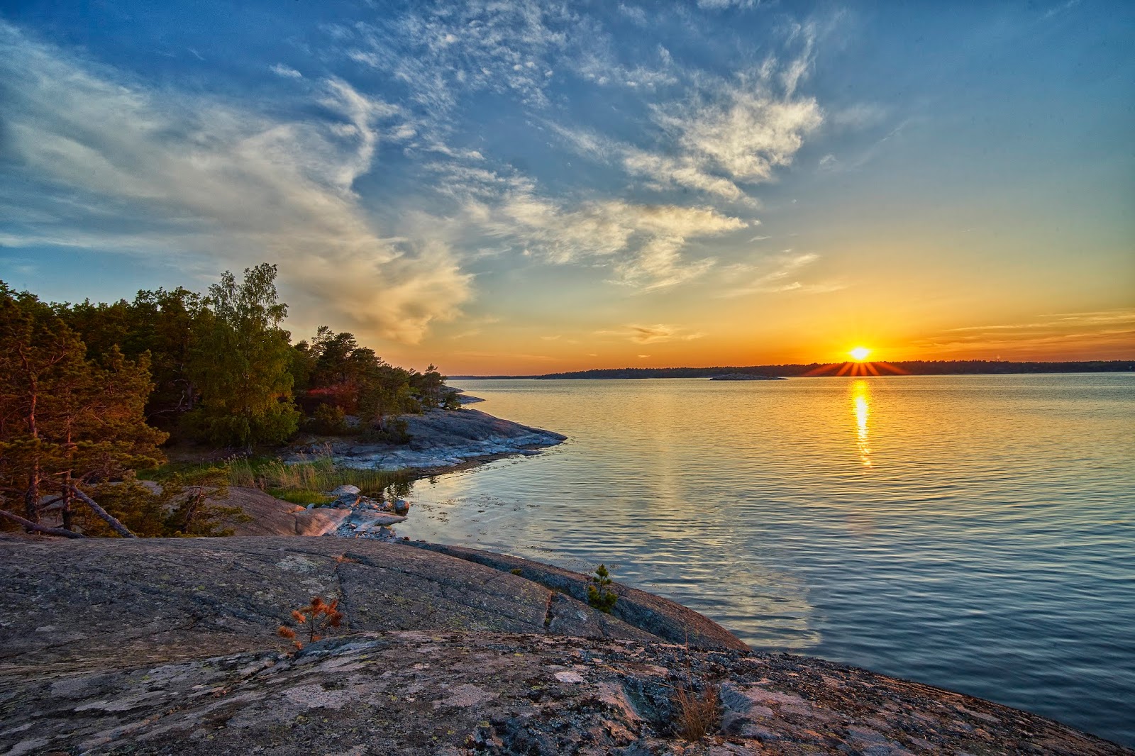
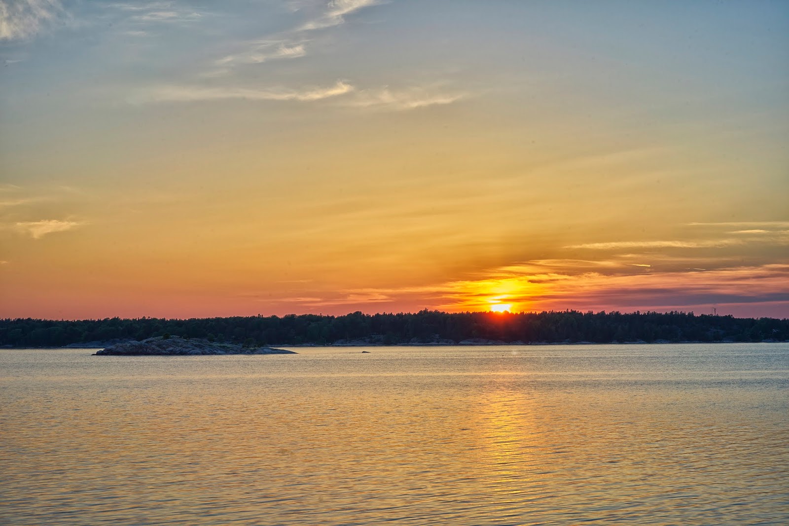
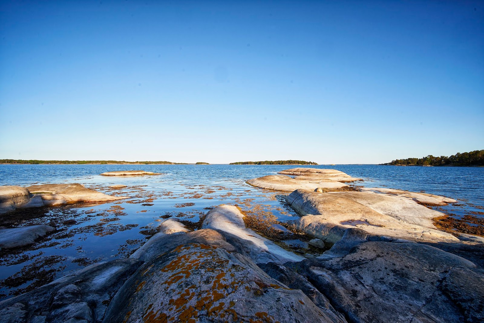
... then headed back to camp to climb around on the rocks and wait for sunset (about 10pm).

The next day I decided that I would fix my water situation by heading to Berg on the island of Moja since I knew there was a grocery store there. Unfortunately, the wind had picked up and I was heading straight into it. The wind wasn't bad on the lee side of the islands.
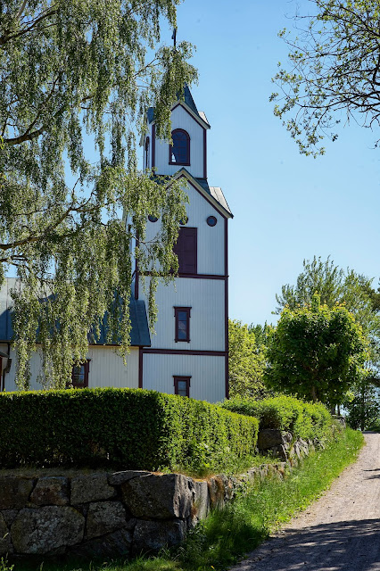
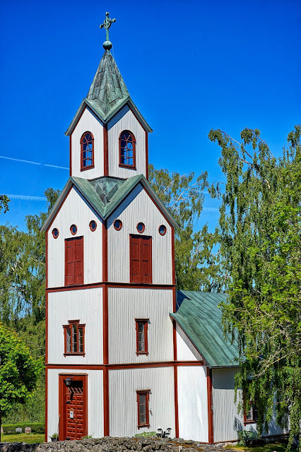
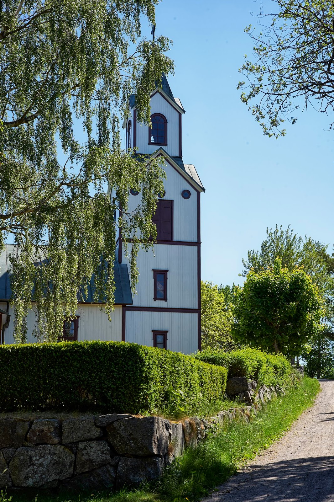
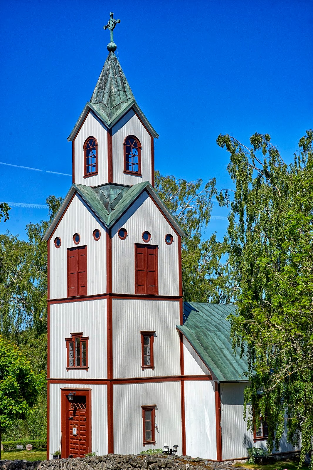
I stopped in the tiny town of Berg and got water and some bread and cheese in the grocery, and checked out the church, ...
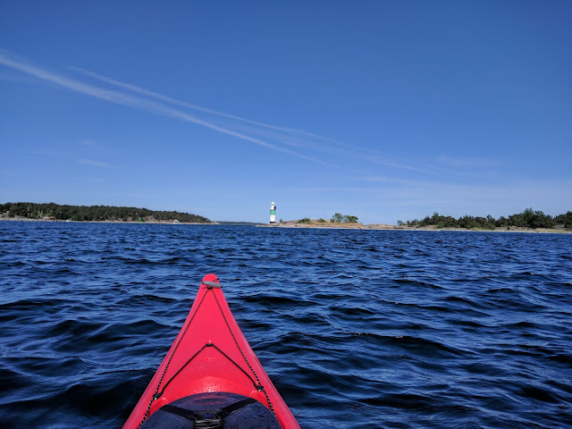
... and got back on the water. This lighthouse is in the channel south of Moja and east of Berg
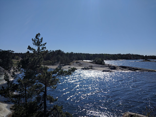
I took a late lunch break on the north shore of Bocko-Storo and when it was obvious that the wind wasn't dying down got back on the water to continue into Mojaskarden.
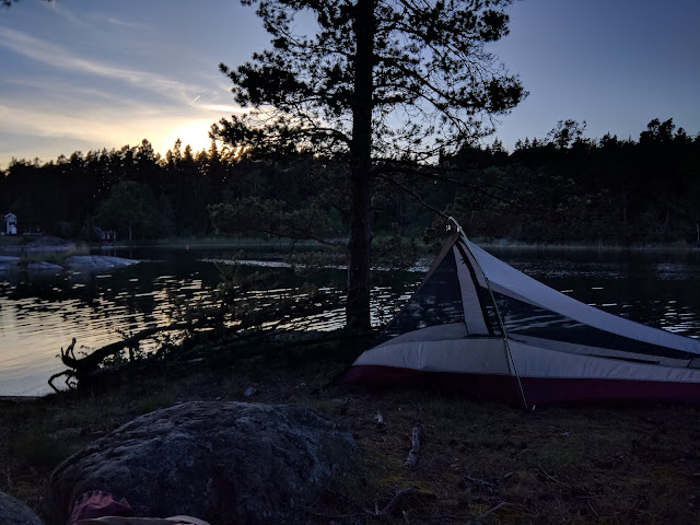
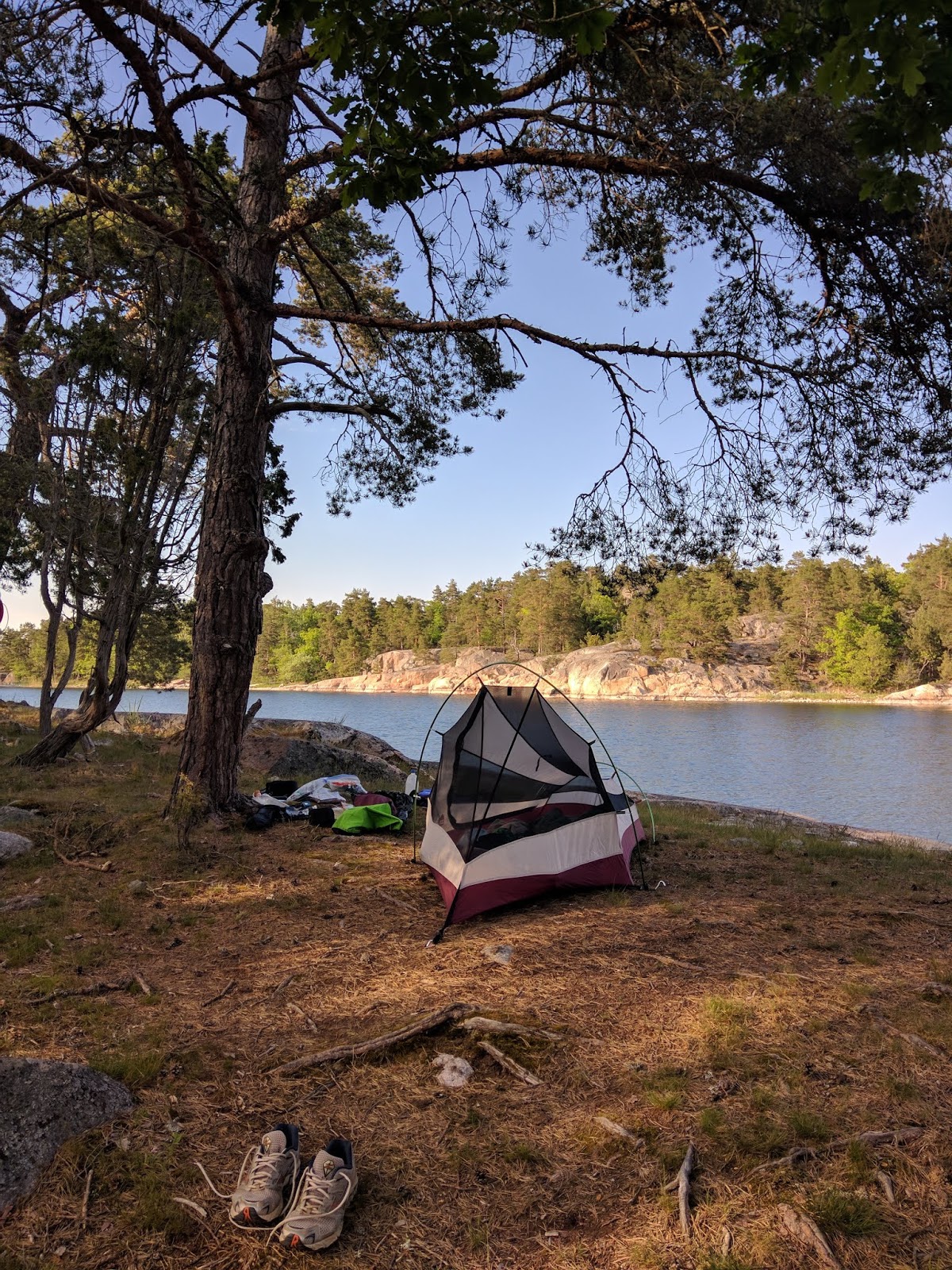
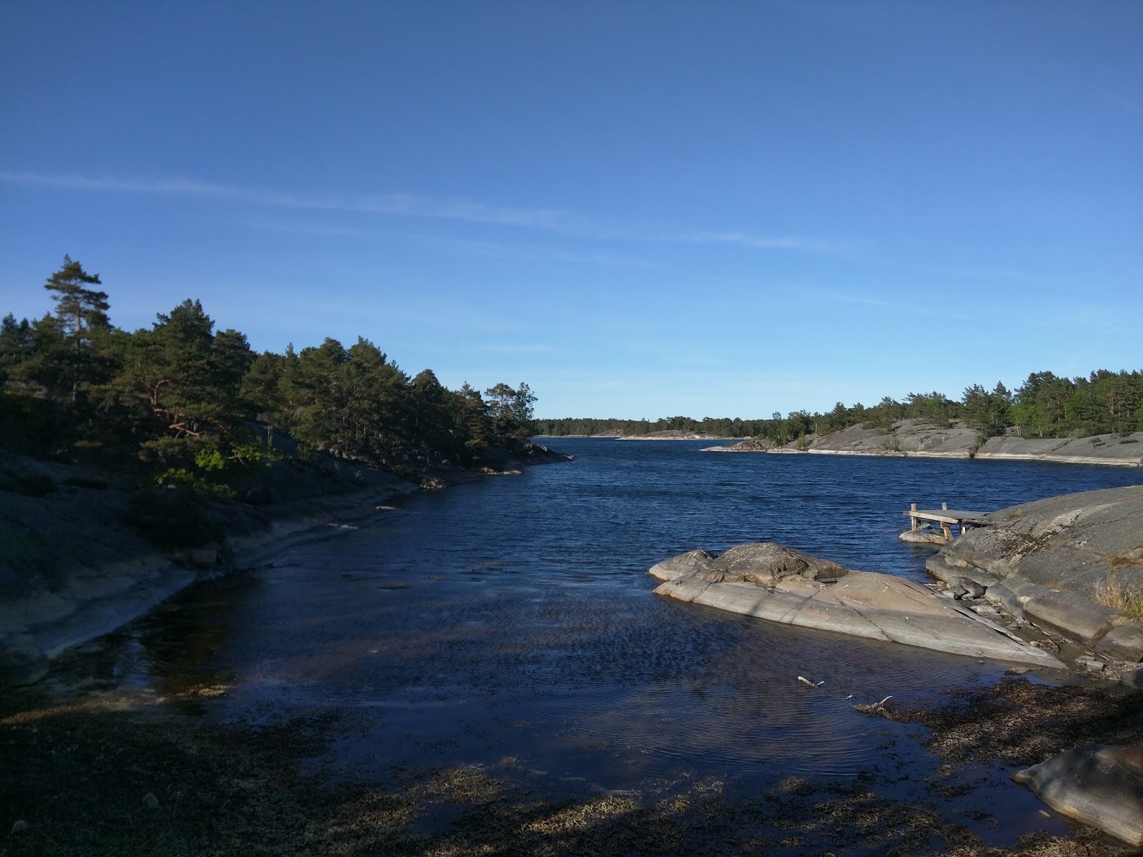
I found an inlet that looked like a good place for the night.
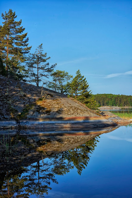
I set up camp and went to explore. There was an obvious path along the rocks that lead east to the middle of the island and a large inland lake.
At the end of the inlet. My camp was at the end on the right.
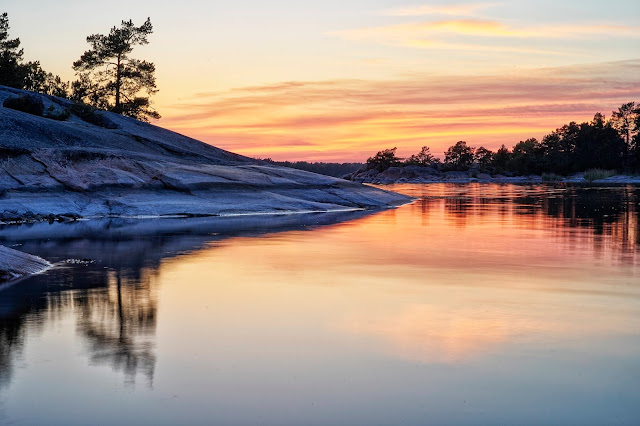
No view to the west for sunset, not to mention it was still really windy. I chose to hunker down out of the wind and enjoy some bourbon and a book.
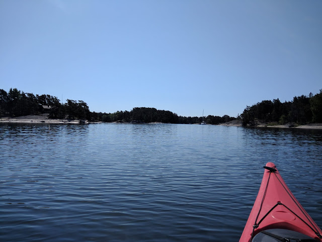
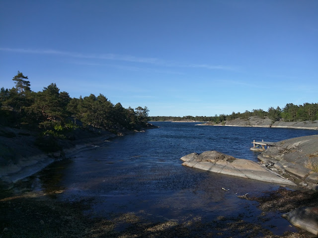
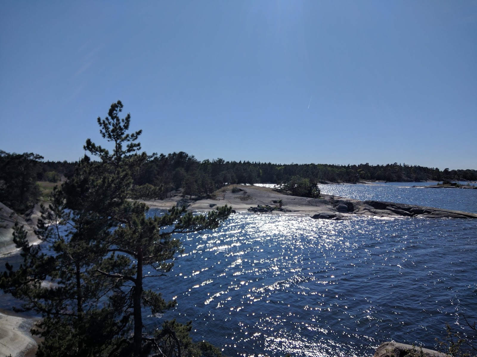
The next morning the wind had wasn't blowing as hard, but was still there. It was time to start making my way back towards home. Originally I had wanted to explore the outer parts of Mojaskarden, but that would have meant paddling straight into the wind again. I decided to head south in the channel between two islands and then east back towards home.
The only hard part of the day was the ~2.5 miles across open water. As I was starting the open water paddle, a seal popped up very close to the kayak. He stuck his head up a couple times, but I was never able to get a photo.
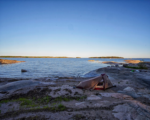
After paddling towards the west for a couple hours, I was across the open water and back among islands and sheltered water. Around 6pm, I started looking for a campsite. I was closer to Stockholm and there were a lot more houses around. I stopped for a break on an island that looked promising. In my explorations I found a perfect sand beach near a swing-set but away from any houses, so I decided that would be home for the next 12 or so hours.
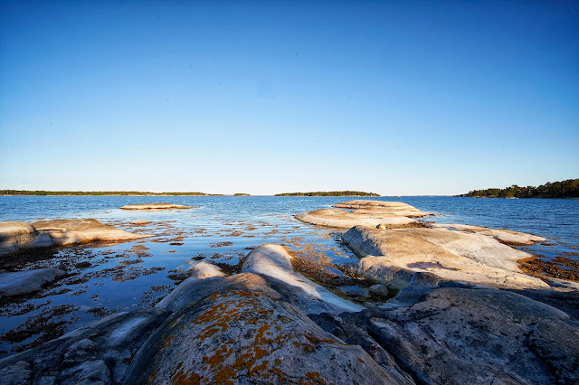
After dinner, I climbed on the rocks and explored the island a little bit.

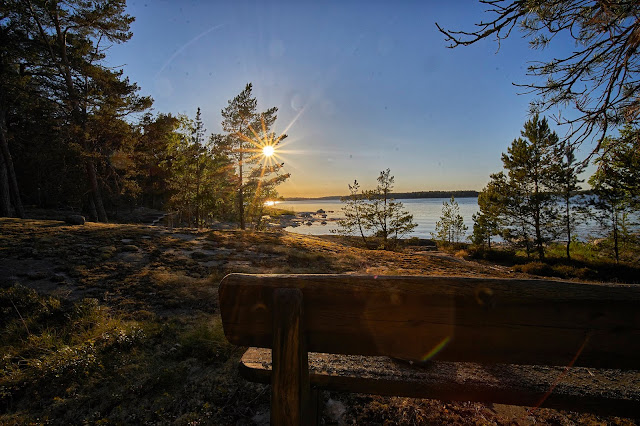
One of the home owners clearly liked building stuff. There were a couple small boardwalks and this bench.
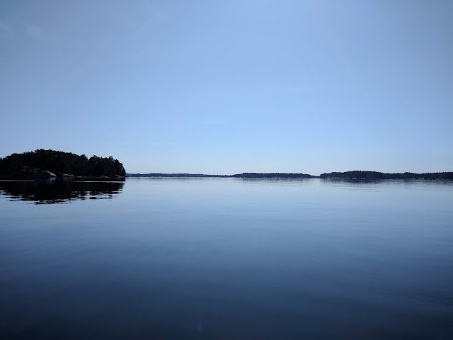
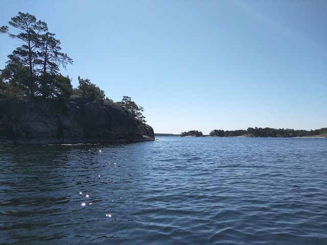
Last day, perfect weather, a couple of hours of paddling and I was back.
This was a great trip with perfect weather, highs in low 80s farenheit and lows in the upper 50s or low 60s. The mosquitoes only bothered me on the second night and that was after the sun went down. Also, I never saw a tick and supposedly the archipelago is crawling with them. I think that I got lucky with weather. From what I heard, it is usually cooler and wetter in the end of May.
Lots of photos (mix of cell phone and real camera) ahead
Day 1: 6.5 miles
Day 2: 9.5 miles
Day 3: 7 miles
Day 4: 12.5 miles
Day 5: 7 miles
Total = approximately 40 - 45 miles
Overview map (Stockholm is about 30 miles to the left)
To get to my kayak, I had about a one mile walk to the bus station and then about an hour ride, followed by a 3km road walk to get to the kayak rental place. The weather was nice so it just felt like an easy hike. I got to the kayak place about 1pm and found out that they did not sell denatured alcohol for my catfood stove, must have been the other kayak place that mentioned it on the website. The lady in charge was nice and set me up with a gas stove so I was able to heat water for breakfast/dinner. I filled my water bottles and loaded up the kayak and away I went.
I headed basically north across the main channel directly into the wind. It was strong enough that waves were breaking across the bow and for a little bit I wished I had rigged the spray skirt. the paddling got a lot easier once I got out of the channel and into the shelter of some islands. I was very glad to not have to dodge any large ferries or other boats as I was crossing the channel.
I weaved my way through the smaller islands near Gallno with no real destination in mind.

I paused to rest/stretch a couple of times.

I got to do a little hiking as well, very pleasant walking with minimal bugs.
Then I paddled a little more until I found a place to set up camp near one of the Foundation outhouses on the island of Lisslo. There was an obvious path that I followed across the island past a couple of homes, but I did not see anyone.


I woke the next morning to glass-like water. After paddling for about an hour I started wishing for a little bit of a breeze to cool me off.
After paddling for about 6 hours with a lunch break and a couple miles walking on the road on the island of Sodermoja, I arrived on Granholmen where I found five very curious sheep in the field near the water well. This made me nervous about the quality of the water here. I still had enough until the next day, but I need to figure something out since I wasn't sure I had enough fuel to boil water for the rest of the trip.

In the meantime, I followed the path south through the field and into the woods. There was a stretch where the trail was blazed with teddy bears ...

... and baby pacifiers.

Then back to a very nice campsite for dinner.
After dinner I took a short paddle in the little bay and explored a nearby island, ...

... then headed back to camp to climb around on the rocks and wait for sunset (about 10pm).

The next day I decided that I would fix my water situation by heading to Berg on the island of Moja since I knew there was a grocery store there. Unfortunately, the wind had picked up and I was heading straight into it. The wind wasn't bad on the lee side of the islands.

I stopped in the tiny town of Berg and got water and some bread and cheese in the grocery, and checked out the church, ...
... and got back on the water. This lighthouse is in the channel south of Moja and east of Berg
I took a late lunch break on the north shore of Bocko-Storo and when it was obvious that the wind wasn't dying down got back on the water to continue into Mojaskarden.
I found an inlet that looked like a good place for the night.

I set up camp and went to explore. There was an obvious path along the rocks that lead east to the middle of the island and a large inland lake.

At the end of the inlet. My camp was at the end on the right.
No view to the west for sunset, not to mention it was still really windy. I chose to hunker down out of the wind and enjoy some bourbon and a book.
The next morning the wind had wasn't blowing as hard, but was still there. It was time to start making my way back towards home. Originally I had wanted to explore the outer parts of Mojaskarden, but that would have meant paddling straight into the wind again. I decided to head south in the channel between two islands and then east back towards home.
The only hard part of the day was the ~2.5 miles across open water. As I was starting the open water paddle, a seal popped up very close to the kayak. He stuck his head up a couple times, but I was never able to get a photo.
After paddling towards the west for a couple hours, I was across the open water and back among islands and sheltered water. Around 6pm, I started looking for a campsite. I was closer to Stockholm and there were a lot more houses around. I stopped for a break on an island that looked promising. In my explorations I found a perfect sand beach near a swing-set but away from any houses, so I decided that would be home for the next 12 or so hours.


After dinner, I climbed on the rocks and explored the island a little bit.
One of the home owners clearly liked building stuff. There were a couple small boardwalks and this bench.

Last day, perfect weather, a couple of hours of paddling and I was back.

This was a great trip with perfect weather, highs in low 80s farenheit and lows in the upper 50s or low 60s. The mosquitoes only bothered me on the second night and that was after the sun went down. Also, I never saw a tick and supposedly the archipelago is crawling with them. I think that I got lucky with weather. From what I heard, it is usually cooler and wetter in the end of May.