Ben
Member
- Joined
- Sep 12, 2014
- Messages
- 1,873
I hiked the Skyline Trail in Jasper National Park in early August last summer. As trails go, it's a scenic highlight of the area, with most of it's miles above tree line. A little more than 35 miles, i did it with three nights, with the first and last being as close to the trail heads as possible. I camped at Evelyn Creek, Curator, and Signal.
Click here to view on CalTopo
The first few miles of the trail, from the parking lot at Maligne Lake, are forested, not much to see. It's not too long before you begin to get some views. The trees open occasionally for some glimpses before you come to Little Shovel Pass.

Nearing Little Shovel Pass you can see the peaks of the Queen Elizabeth Ranges that rise on the other side of Maligne Lake.
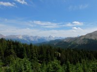
Little Shovel Pass.
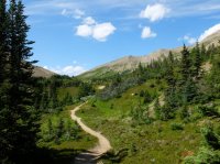
When i got to the top of the pass i climbed the ridge to the right of it for some views.

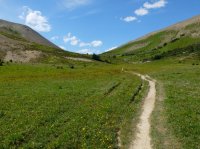
I love these things.
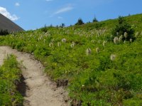
Looking back from the pass at the Queen Elizabeth Ranges.
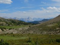
Looking beyond the pass, West, across the Jeffery Creek drainage toward Big Shovel Pass.

The ridge i walked, Maligne Lake and the Queen Elizabeth Ranges to the right of it.
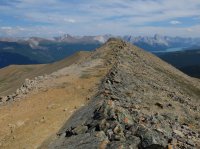
Maligne Lake is the largest natural body of water in the Canadian Rockies. It's very popular for canoe trips.
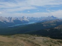
A 360 from the top of the ridge.

Maligne Lake and the surrounding view, Southeast.

Zoomed. Nice peaks. Samson on the right i believe.
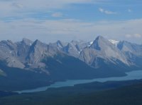
Zoomed on a couple bench lakes above Little Shovel Pass on the other side.
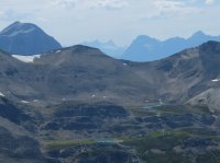
View from the ridge above Little Shovel Pass looking Southwest. The pass below me on the left.

Zoomed on some good colors to the Northeast, again in the Queen Elizabeth Ranges.
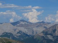
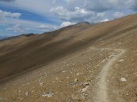
Below Little Shovel Pass, crossing the Snowbowl area.
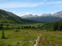
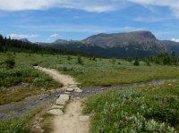
Nearing Big Shovel Pass, looking back East at Little Shovel Pass just left of center.

I like the giant whit boulders out in the grass.
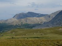
Looking back, practically at Big Shovel Pass. When i got to the pass i walked to the top of Curator Mountain to take the view from there.
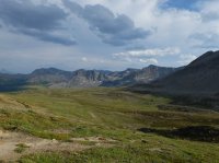
I found a lot of goats on the other side of the pass.
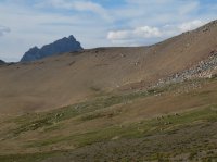
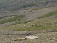
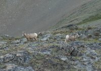
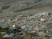
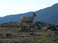
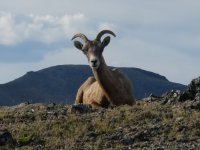
This guy just laid down as i walked past.
Looking just East of South from the top of Curator. It was nice up here.
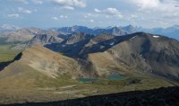
Looking Northwest. This night i would camp in the trees below center of the frame, and then the next day i would hike back up, pass the lake, and head up and left of it to a feature called The Notch, where some really nice ridge walking would begin.
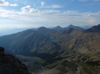
Looking North.

A shorter panorama of the North. The Watchtower is on the left, a very beautiful inexplicably unnamed peak is just left of center, and the Queen Elizabeth Ranges are in the distance on the right.

Southeast panorama.

Zoomed South. I believe Mount Kerkeslin is the dominant feature, and Brussels Peak and Mount Lowell are the distant towers on the right. You can see them in the panorama above as well. I was a little fixated with the view of those towers. Farther along the trail i would be able to see three of them when Mount Christie came in to view.
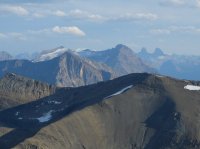
An other view to the North. I believe the background ridges are the Colin Range. They have all kinds of ranges here.
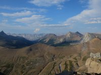
360 from the top of Curator. Looking across the Athabasca River to the West on the right.

May be i included too many shots looking to the North.

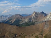
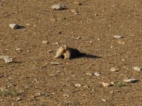
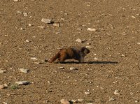
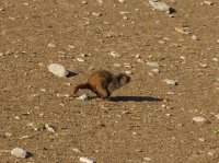
I hiked back down, grabbed my pack and continued on. It was evening now. This marmot was basking in the sun, but then ran away from me.
I walked up a side trail to view over a ridge. This trail provides a midpoint access from the road.
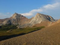

I hiked back down and continued toward camp. This picture is looking back toward Big Shovel Pass.
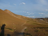
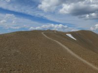
Big Shovel Pass and Curator Mountain. I just walked right up the shoulder.

Sun going down in the Notch.
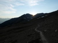
Curator Mountain, near a trail junction. The Curatorcamp site is on the valley floor below here.

I liked the cliffs above cliffs here.
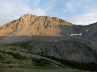
The next day, heading toward the Notch. I liked the mixed rock colors.
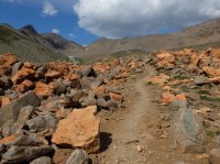
On the right side you can see the trail going up. It was lovely.
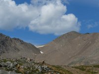
Cutator Lake, the Notch on the right.

Looking back, Curator Mountain on the left.
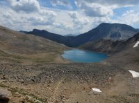
Closer.
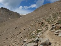
From the top. I went to the top of the ridge on the right here to look around also. It only took a few minutes.

360 from the top of that ridge.

Looking Northwest, you can see across the Athabasca River, and the continuation of the Skyline Trail.

The Watchtower.
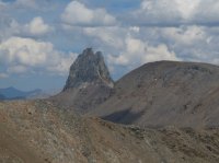
The trail, the Notch on the right.
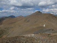
Southeast.
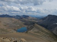
Edith Cavell, to the Southwest.
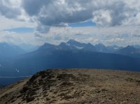
A snow capped peak called Mount Robson to the Northwest, more than fifty miles away.
Walked back down, continued along the trail.
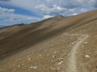
The trail, some large cairns, and Robson in the distance.
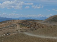
A trailless drainage North of the Skyline.

Fantastic ridge walking. From the Notch to Mount Tekarra really is the best of the Skyline Trail.
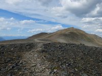
A few hikers.
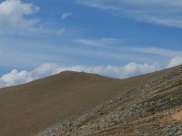
Edith Cavell across the Athabasca River. The Icefield Parkway runs through here. Those three towers are visible on the left.

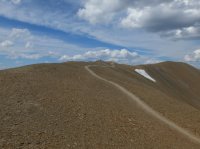
That trailless drainage again, The Watchtower above it.

Looking back.
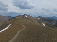
More beautiful trail.
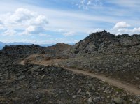
Mount Tekarra comes in to view. I left the trail near here to spend a couple hours walking the ridge to the top of Tekarra and back.
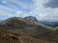
What a face.
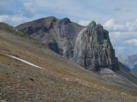
Athabasca River, etc.

Mount Tekarra, Excelsior, and Centre Mountain.

Getting there. Closer the walking would get a little dicier.
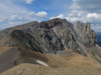
Jasper below me.
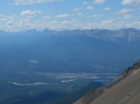
When i arrived here i went to the right around the prominence and scrambled through the rocks there. It wasn't bad.

Easy up big rocks. Not too steep.
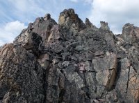
Once above that i was able to walk to the true summit.
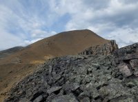
Looking back Southeast.
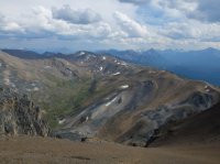
360 from the top of Mount Tekarra.

Looking across the river again for some reason. I did like the sun streaks.

A small pond immediately below me.
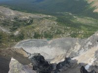
The Colin Range and beyond.

Southeast also.

South.
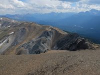
Heading back down, looking at the ridge.
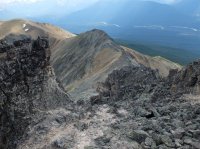
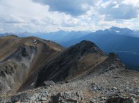
Just right over the top.
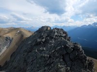
A good view of Edith Cavell. Finally some light on it.
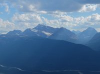
Looking back at Tekarra's face.
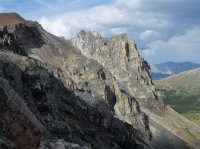
East from the ridge i walked.
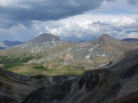
Looking back at Tekarra again, closer to the trail.

An even better view of Edith Cavell.
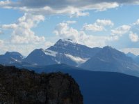
Mount Kekeslin.
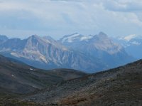
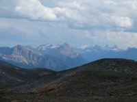
Those towers, Mount Christie, Brussels Peak, and Mount Lowell.
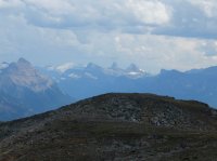
And together.
Back on the trail, heading down below Tekarra.
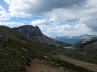
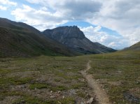
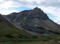
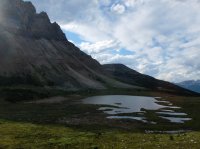
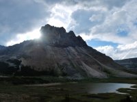
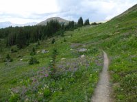

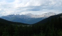
Rounding Tekarra, some later light on the Athabasca River, Northeast of the other pictures of it.
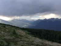
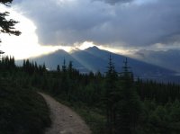
After camping the last night at Signal, the last few miles are unremarkable, down an old road that they let bikes on.
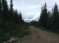
Click here to view on CalTopo
The first few miles of the trail, from the parking lot at Maligne Lake, are forested, not much to see. It's not too long before you begin to get some views. The trees open occasionally for some glimpses before you come to Little Shovel Pass.

Nearing Little Shovel Pass you can see the peaks of the Queen Elizabeth Ranges that rise on the other side of Maligne Lake.

Little Shovel Pass.

When i got to the top of the pass i climbed the ridge to the right of it for some views.


I love these things.

Looking back from the pass at the Queen Elizabeth Ranges.

Looking beyond the pass, West, across the Jeffery Creek drainage toward Big Shovel Pass.

The ridge i walked, Maligne Lake and the Queen Elizabeth Ranges to the right of it.

Maligne Lake is the largest natural body of water in the Canadian Rockies. It's very popular for canoe trips.

A 360 from the top of the ridge.
Maligne Lake and the surrounding view, Southeast.

Zoomed. Nice peaks. Samson on the right i believe.

Zoomed on a couple bench lakes above Little Shovel Pass on the other side.

View from the ridge above Little Shovel Pass looking Southwest. The pass below me on the left.

Zoomed on some good colors to the Northeast, again in the Queen Elizabeth Ranges.

Below Little Shovel Pass, crossing the Snowbowl area.


Nearing Big Shovel Pass, looking back East at Little Shovel Pass just left of center.

I like the giant whit boulders out in the grass.

Looking back, practically at Big Shovel Pass. When i got to the pass i walked to the top of Curator Mountain to take the view from there.

I found a lot of goats on the other side of the pass.


This guy just laid down as i walked past.

Looking just East of South from the top of Curator. It was nice up here.

Looking Northwest. This night i would camp in the trees below center of the frame, and then the next day i would hike back up, pass the lake, and head up and left of it to a feature called The Notch, where some really nice ridge walking would begin.

Looking North.
A shorter panorama of the North. The Watchtower is on the left, a very beautiful inexplicably unnamed peak is just left of center, and the Queen Elizabeth Ranges are in the distance on the right.

Southeast panorama.

Zoomed South. I believe Mount Kerkeslin is the dominant feature, and Brussels Peak and Mount Lowell are the distant towers on the right. You can see them in the panorama above as well. I was a little fixated with the view of those towers. Farther along the trail i would be able to see three of them when Mount Christie came in to view.

An other view to the North. I believe the background ridges are the Colin Range. They have all kinds of ranges here.

360 from the top of Curator. Looking across the Athabasca River to the West on the right.
May be i included too many shots looking to the North.


I hiked back down, grabbed my pack and continued on. It was evening now. This marmot was basking in the sun, but then ran away from me.


I walked up a side trail to view over a ridge. This trail provides a midpoint access from the road.


I hiked back down and continued toward camp. This picture is looking back toward Big Shovel Pass.

Big Shovel Pass and Curator Mountain. I just walked right up the shoulder.

Sun going down in the Notch.

Curator Mountain, near a trail junction. The Curatorcamp site is on the valley floor below here.

I liked the cliffs above cliffs here.

The next day, heading toward the Notch. I liked the mixed rock colors.

On the right side you can see the trail going up. It was lovely.

Cutator Lake, the Notch on the right.

Looking back, Curator Mountain on the left.

Closer.

From the top. I went to the top of the ridge on the right here to look around also. It only took a few minutes.

360 from the top of that ridge.
Looking Northwest, you can see across the Athabasca River, and the continuation of the Skyline Trail.

The Watchtower.

The trail, the Notch on the right.

Southeast.

Edith Cavell, to the Southwest.

A snow capped peak called Mount Robson to the Northwest, more than fifty miles away.

Walked back down, continued along the trail.

The trail, some large cairns, and Robson in the distance.

A trailless drainage North of the Skyline.

Fantastic ridge walking. From the Notch to Mount Tekarra really is the best of the Skyline Trail.

A few hikers.

Edith Cavell across the Athabasca River. The Icefield Parkway runs through here. Those three towers are visible on the left.


That trailless drainage again, The Watchtower above it.

Looking back.

More beautiful trail.

Mount Tekarra comes in to view. I left the trail near here to spend a couple hours walking the ridge to the top of Tekarra and back.

What a face.

Athabasca River, etc.

Mount Tekarra, Excelsior, and Centre Mountain.

Getting there. Closer the walking would get a little dicier.

Jasper below me.

When i arrived here i went to the right around the prominence and scrambled through the rocks there. It wasn't bad.

Easy up big rocks. Not too steep.

Once above that i was able to walk to the true summit.

Looking back Southeast.

360 from the top of Mount Tekarra.
Looking across the river again for some reason. I did like the sun streaks.

A small pond immediately below me.

The Colin Range and beyond.

Southeast also.

South.

Heading back down, looking at the ridge.


Just right over the top.

A good view of Edith Cavell. Finally some light on it.

Looking back at Tekarra's face.

East from the ridge i walked.

Looking back at Tekarra again, closer to the trail.

An even better view of Edith Cavell.

Mount Kekeslin.

Those towers, Mount Christie, Brussels Peak, and Mount Lowell.

And together.

Back on the trail, heading down below Tekarra.


Rounding Tekarra, some later light on the Athabasca River, Northeast of the other pictures of it.


After camping the last night at Signal, the last few miles are unremarkable, down an old road that they let bikes on.


