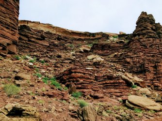
Ryan, I went from Gooseberry trailhead on Island in the sky, down to the White Rim, and entered Monument Basin from the South/East side. I walked the canyons below the White Rim towards the South/West for a couple of days and turned north to exit at white crack. I followed the road north towards the Murphys Hogback trail and climbed up to the Island again. Roadwalked back to the Gooseberry TH. I found water at camp 1 and also at camp 2. The first water source might be reliable, the second prob not. This was in May. I carried 12 L of water to start with, heaviest pack I ever carried. I have a recording of the route that I will make public for a few days so you can check it out.
https://www.alltrails.com/explore/map/lower-basins-complete-f4334c1
Evening among Monuments by John Morrow, on Flickr
Canyonlands National Park, Island in the Sky District by John Morrow, on Flickr
The way in by John Morrow, on Flickr

