Joe
Member
- Joined
- Sep 30, 2012
- Messages
- 47
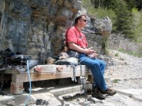
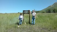
It is the Uintas, part of the Provo River drainage.
Next clue: Crystal Lake trailhead is the access point. There is a prominant peak to the northwest.
Follow along with the video below to see how to install our site as a web app on your home screen.
Note: This feature may not be available in some browsers.
It is the Uintas, part of the Provo River drainage.
If I would ignore the Mtn's in the background, it looks like everywhere in Germany.
Maple Flat?? Total shot in the dark as I've never been there. =)


is this in Natural Bridges NM?
...Cedar Mesa?
Gesendet von meinem ViperXed HOX |2.7.1| mit Tapatalk 2
"In the immense sandstone spur outcropping between ________ and ________, about ten miles north of the San Juan River, we noticed a large cave in one of the deep canyons in the ledge, and, examining it with our field glasses we thought we could distinguish ruins near the opening. Four of us started to investigate and found it a cavern of great dimensions, with the whole floor under the overhanging ledge studded with ruins. The canyon in which this picturesque cave town is situated is wild and beautiful, shut in on all sides by high sandstone cliffs, and having only one narrow entrance. The foliage is almost tropical in its luxuriousness. We found cactus plants of gigantic size, and grass and flowering plants over a foot in height, while the bare rocky ledges were studded with cedars, cottonwood and pinions. This luxurious growth of cactus and of other plants which were stunted upon mesas is probably caused by the heat being retained in the bare, rocky ledges, thus producing the forcing effect of a green house. We have named the place Cold Spring Cave, on account of the fine spring of cold, clear water away in the back interior of the cave. it flows out from under the heavy sandstone ledge into a round, clear pool, and, after passing through a short outlet, sinks into the ground and disappears, not half a dozen feet from where it started."
Don't like ads? Become a BCP Supporting Member and kiss them all goodbye. Click here for more info.
