Guess the spot

Clo


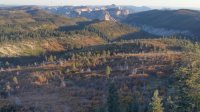
Close enough! This is from the cellular/radio towers on the hill above Toquerville. It was a beast of a run/hike!
I should've figured you were at the Radio Tower, but I wasn't sure where on the ridge you were.
 
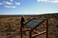
This one might be difficultCasting.jpg
 
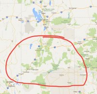
Interesting signage post/frame. You're right, difficult. Definitely Basin and Range.
 
Last edited:
Nope not the lava field plaque, but @Artemus is right with basin and range. Here's my first hint: Happened out here in 1776.
 
Alright I'll give it. It's the casting of the lots or Dominguez knoll near Cedar City. It's where they decided to turn around (it's a very under appreciated place). Someone else can take the thread!
 
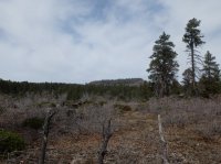
Looks like wildcat connector trail there. Looks like wildcat canyon in the foreground on the right. Are you at lava point, or what ever that place is called?
 
Looks like wildcat connector trail there. Looks like wildcat canyon in the foreground on the right. Are you at lava point, or what ever that place is called?
Is that your guess... "whatever that place is called?" :)
 
either that or lava point. i haven't looked up the map to make sure yet
 
yeah, lava point. this place.
S0064008.JPG

that's my guess. i think the west rim trail runs to the left/east of the posted picture.
 

Don't like ads? Become a BCP Supporting Member and kiss them all goodbye. Click here for more info.

Back
Top