Navigation
Install the app
How to install the app on iOS
Follow along with the video below to see how to install our site as a web app on your home screen.
Note: This feature may not be available in some browsers.
More options
Style variation
You are using an out of date browser. It may not display this or other websites correctly.
You should upgrade or use an alternative browser.
You should upgrade or use an alternative browser.
Guess the spot: Maps Edition
- Thread starter Backcountry Post
- Start date
- Joined
- Dec 11, 2015
- Messages
- 2,094
Yep. You're up!
jholmes01
Member
- Joined
- Nov 10, 2020
- Messages
- 224
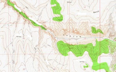
I think we may need a hint.Name the canyon or creek. The spring in the lower right has a name that was what actually caught my attention here, made me wonder about the story of how it came to have its name.
View attachment 113450
jholmes01
Member
- Joined
- Nov 10, 2020
- Messages
- 224
OK, I think I have it - Devil Canyon and Porcupine Creek on the NW flank of the Bighorns. Looks like really interesting country.It's on the flanks of a mountain range that shares its name with an animal that often dwells in the mountains.
b.stark
Forever Wandering
- Joined
- Apr 8, 2015
- Messages
- 1,250
Nice work! The image also contains Dipping Vat Spring, I'm curious how it got its name.OK, I think I have it - Devil Canyon and Porcupine Creek on the NW flank of the Bighorns. Looks like really interesting country.
jholmes01
Member
- Joined
- Nov 10, 2020
- Messages
- 224
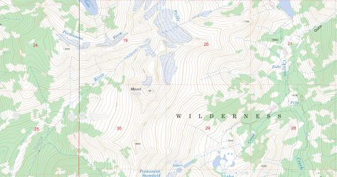
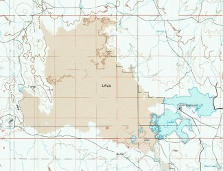
Hint: CaliforniaName the mountain in the middle of the map.View attachment 115329
b.stark
Forever Wandering
- Joined
- Apr 8, 2015
- Messages
- 1,250
Diamond Craters
- Joined
- May 31, 2015
- Messages
- 3,329
All you! Fantastic 7-minute solve.Diamond Craters
- Joined
- Dec 11, 2015
- Messages
- 2,094
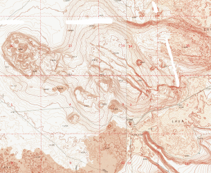
Looks like Jordan Craters, OR.
I'm starting to think everything is south of Alaska.
I'm starting to think everything is south of Alaska.
Don't like ads? Become a BCP Supporting Member and kiss them all goodbye. Click here for more info.

