Navigation
Install the app
How to install the app on iOS
Follow along with the video below to see how to install our site as a web app on your home screen.
Note: This feature may not be available in some browsers.
More options
Style variation
You are using an out of date browser. It may not display this or other websites correctly.
You should upgrade or use an alternative browser.
You should upgrade or use an alternative browser.
Guess the spot: Maps Edition
- Thread starter Backcountry Post
- Start date
intuitive cat
Jurassic Dust in my Bones
- Joined
- Mar 9, 2012
- Messages
- 402
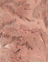
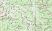
yep, you are right. middle part of the Moodys with Silver Falls & Choprock on the west. that is a little bit of the Waterpocket Fold on the right with the lower west entrance to Lower Muley Twist & Deer Point being just out of picture to the north.
i like to call this particular place "The Heart of the Moodys" due to the heart shape.
i like to call this particular place "The Heart of the Moodys" due to the heart shape.
- Joined
- Aug 9, 2007
- Messages
- 12,962
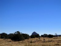
Little Egypt?
Yes sir!
Udink
Still right here.
- Joined
- Jan 17, 2012
- Messages
- 1,742
Oh, duh!Cleopatra's Chair? BTW, this is the maps thread!
 I need to pay more attention, haha! But yeah, Cleo's Chair, as seen on the way out to High Spur (TR coming soon!). Back to you, Nick.
Seldom Seen Anderson
Member
- Joined
- Jan 19, 2012
- Messages
- 739
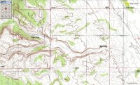
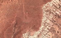
Red cliffs babylon section?
Udink
Still right here.
- Joined
- Jan 17, 2012
- Messages
- 1,742
Nope, this is farther north and much more remote.Red cliffs babylon section?
Don't like ads? Become a BCP Supporting Member and kiss them all goodbye. Click here for more info.

