- Joined
- Aug 23, 2016
- Messages
- 138
My wife and I took a week-long trip up the Greybull River into the southeastern Absarokas the last week of July, 2018. We hiked in two days from the Jack Creek campground/trailhead and camped near the confluence of the Greybull River and Cow Creek. We day-hiked from there for three days and took two more days to hike out. The lower Greybull turned out to be surprisingly tough terrain and it beat us up. Part of the challenge was the heat. The forest was patchy to begin with and was decimated by a beetle infestation. Then, as is common across this region, the gods held a Viking Funeral and burned it all. There were only a small handful of shady patches on the first two days of walking. It was much cooler higher up.
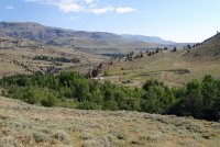
The terrain here is wider and more open than other places we have hiked. Instead of spectacular vertical expanses of granite there are very long, wide valleys that give a real feeling of vastness. The peaks are high (a lot 12K+ feet) and the valleys deep but the overall impression is just vast open space. According to locals we spoke with the area does not get much use except during hunting season, when it's quite busy. And the lower part of the Greybull on this hike is world-class fishing so people come out for that, but past the first few miles it's pretty empty. From the pictures you can see that the area is dryer than, say, the Winds or Tetons or even the western Absarokas. We were there in late July and probably could have come earlier, although the river fords may have been dicey. But no bugs!
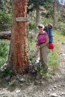
The trail climbs right from the trailhead and remains high above the river for the first several miles. There were lots of small creeks crossing the trail so water was not a problem. Note classic pack--lately we have resurrected our 1970s Jansport external frame packs. In my experience these packs are better than modern internal frame packs for trail-walking. Internal frames are better for skiing, climbing and bushwhacking but for just walking external frames carry the load much more comfortably. They are also lighter than most equivalent-capacity internal frame packs and cooler because there is not much contact with your back. Our $.02, anyway.
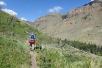
Continuing up the Greybull.
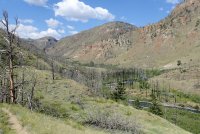
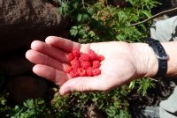
Raspberries all along the lower trail.
We camped after about 6 or 7 miles at what was really the first decent campsite we came to. Actually it was quite nice. Maybe if we were actively looking we would have found something earlier but I don't think so.
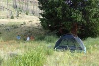
Rained almost every afternoon. Perfect for pre-dinner naps. This is from camp after the storm passed. Looking north, downstream.
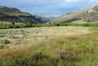
Looks like Easter Island!
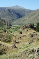
Lots of fireweed everywhere
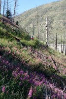
Typical terrain here. Large alluvial fan at confluence with Venus Creek. I think a lot of these side valleys were only glaciated in their upper reaches. This and some others are very steep and narrow where they meet the main valley.
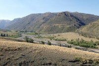
Looking back the way we came... The lumpy ground in the middle distance is a big landslide deposit. You can see how it has pushed the river to the far side of the valley. I suppose it could have temporarily dammed it but we saw no evidence of that.
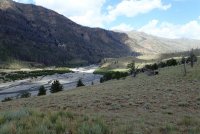
Ok--more geology--I can't help it. Looking upstream now, you can see where the river has cut through some resistant rock layers. Instead of the wide, flat valley, the river is confined to a narrow gorge.
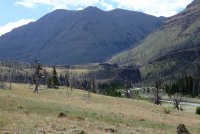
The tops of the resistant layers create weird plateaus on the valley floor. The river is over a cliff off to the right
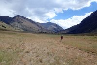
Here's the gorge.
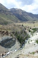
This sure had us worried! But it turned out not to be true--there were more creeks after this one.
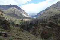
Here's the gorge for the last time and a view ahead to where the valley widens out again
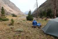
We camped just where the valley widens above the gorge.
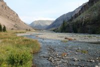
Greybull River near camp, looking upstream
Igneous dike across from camp
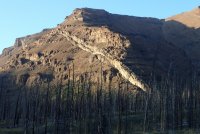
The next day we day-hiked up the strange-looking, crumbling, white valley in the background.
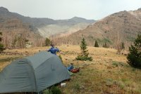
Started up dry creekbed but found a little springfed oasis up there
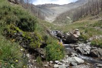
On day 4 we hiked further up the Greybull. That's Steer Creek valley branching off to the right (west)
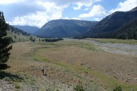
View up Steer Creek
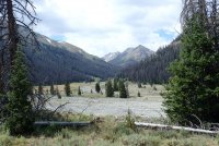
Further up Greybull R. Many of the clumps of yellow flowers mark locations of springs
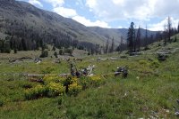
We stopped for lunch here then turned around and hiked back to camp. There were about a dozen elk on the far slope. With binoculars we could see the trail up to Greybull Pass on the far skyline. It looked horrific.
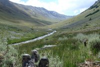
A spring on the valley wall.
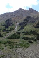
View down the valley (north)
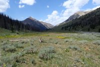
I guess this is day 5. It had been pretty hazy from the California fires. But this morning it was super clear.
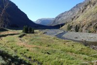
We're getting ready to cross the Greybull and head up Cow Creek. You can see our tent on top of the eroded riverbank.
View up Cow Creek. At the end of the canyon the trail goes over Burwell Pass. We didn't go that far.
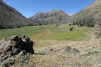
Cow Creek scenery
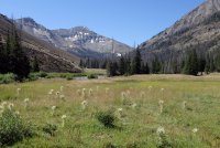
We stopped for lunch at the next little rise in the middle distance.
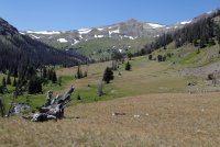
There's a spring up there and just a ribbon of flowers all along the outflow stream
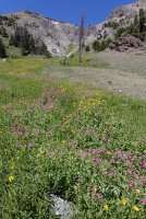
More flowers
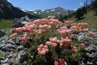
Scenery on the way down
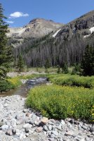
More scenery
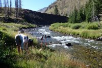
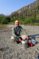
On the way out we retraced our path and even camped at the same site we used on the way up. On the last day we broke camp and hiked to the first river crossing of the day. We had breakfast there before wading across. Here I am enjoying my morning tea. I have already "enjoyed" my oatmeal.
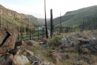
View down Greybull River on the hike out.
The trailhead
This trip was really just a taste of the region. There are possibilities for all sorts of big hikes up, over, around and connecting all across the region. I hope to get deeper into this area some time.
The terrain here is wider and more open than other places we have hiked. Instead of spectacular vertical expanses of granite there are very long, wide valleys that give a real feeling of vastness. The peaks are high (a lot 12K+ feet) and the valleys deep but the overall impression is just vast open space. According to locals we spoke with the area does not get much use except during hunting season, when it's quite busy. And the lower part of the Greybull on this hike is world-class fishing so people come out for that, but past the first few miles it's pretty empty. From the pictures you can see that the area is dryer than, say, the Winds or Tetons or even the western Absarokas. We were there in late July and probably could have come earlier, although the river fords may have been dicey. But no bugs!
The trail climbs right from the trailhead and remains high above the river for the first several miles. There were lots of small creeks crossing the trail so water was not a problem. Note classic pack--lately we have resurrected our 1970s Jansport external frame packs. In my experience these packs are better than modern internal frame packs for trail-walking. Internal frames are better for skiing, climbing and bushwhacking but for just walking external frames carry the load much more comfortably. They are also lighter than most equivalent-capacity internal frame packs and cooler because there is not much contact with your back. Our $.02, anyway.

Continuing up the Greybull.

Raspberries all along the lower trail.

We camped after about 6 or 7 miles at what was really the first decent campsite we came to. Actually it was quite nice. Maybe if we were actively looking we would have found something earlier but I don't think so.

Rained almost every afternoon. Perfect for pre-dinner naps. This is from camp after the storm passed. Looking north, downstream.

Looks like Easter Island!

Lots of fireweed everywhere

Typical terrain here. Large alluvial fan at confluence with Venus Creek. I think a lot of these side valleys were only glaciated in their upper reaches. This and some others are very steep and narrow where they meet the main valley.

Looking back the way we came... The lumpy ground in the middle distance is a big landslide deposit. You can see how it has pushed the river to the far side of the valley. I suppose it could have temporarily dammed it but we saw no evidence of that.

Ok--more geology--I can't help it. Looking upstream now, you can see where the river has cut through some resistant rock layers. Instead of the wide, flat valley, the river is confined to a narrow gorge.

The tops of the resistant layers create weird plateaus on the valley floor. The river is over a cliff off to the right

Here's the gorge.

This sure had us worried! But it turned out not to be true--there were more creeks after this one.

Here's the gorge for the last time and a view ahead to where the valley widens out again

We camped just where the valley widens above the gorge.

Greybull River near camp, looking upstream

Igneous dike across from camp

The next day we day-hiked up the strange-looking, crumbling, white valley in the background.

Started up dry creekbed but found a little springfed oasis up there

On day 4 we hiked further up the Greybull. That's Steer Creek valley branching off to the right (west)

View up Steer Creek

Further up Greybull R. Many of the clumps of yellow flowers mark locations of springs

We stopped for lunch here then turned around and hiked back to camp. There were about a dozen elk on the far slope. With binoculars we could see the trail up to Greybull Pass on the far skyline. It looked horrific.

A spring on the valley wall.

View down the valley (north)

I guess this is day 5. It had been pretty hazy from the California fires. But this morning it was super clear.

We're getting ready to cross the Greybull and head up Cow Creek. You can see our tent on top of the eroded riverbank.

View up Cow Creek. At the end of the canyon the trail goes over Burwell Pass. We didn't go that far.

Cow Creek scenery

We stopped for lunch at the next little rise in the middle distance.

There's a spring up there and just a ribbon of flowers all along the outflow stream

More flowers

Scenery on the way down

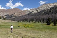
More scenery

On the way out we retraced our path and even camped at the same site we used on the way up. On the last day we broke camp and hiked to the first river crossing of the day. We had breakfast there before wading across. Here I am enjoying my morning tea. I have already "enjoyed" my oatmeal.

View down Greybull River on the hike out.

The trailhead

This trip was really just a taste of the region. There are possibilities for all sorts of big hikes up, over, around and connecting all across the region. I hope to get deeper into this area some time.
Last edited:

