Ben
Member
- Joined
- Sep 12, 2014
- Messages
- 1,873
Here you go @Joey
First of all the disclaimer. I had a strange experience this trip, where i took hundreds of photos, and ended up liking the majority of them quite a bit. I've tried to pare down the selection. But i feel that all of these are relevant to the story of this trip. We covered a lot of ground, and saw quite a bit. I have no frame of reference for how many pictures is too many. Hopefully this isn't a big bore for any one reading this.
Secondly, the back story. Three years ago i went on a trip with my family through the national parks in Utah. We also made it down to the Grand Canyon, but only on a day trip from St George. Both of my grandmas were there. I only walked out to Bright Angel point, and left very unsatisfied. Last year i was able to go down with my brother for a week. We hiked rim to rim to rim from the north, and during an extra day on the south side, we hiked Horseshoe Mesa. However, while at Indian Garden on the way across, i had the time to hike the Tonto Trail out past Horn Creek, and it was this that had the greatest impact on me. Watching the canyon unfold as i went along the Platform, having it change rounding a bend. I wanted more of that, and to see more of the canyon. So i ended up planning this trip along the Tonto Trail.

and the link
Purple dots are where we camped. The black hashes mark the boundaries between use areas for at large camping. The orange is the base of our trail, and the yellow includes day hikes.
The forestory. My girl, Brittinei, had been pretty broken up that she hadn't been able to come along on the trip the year before. So this was a big deal to her. The people we had initially planned on going with ended up bailing, some of them just a few days before the trip. How ever, Brittinei's friend Ellen finished her firefighting season just a few days before the trip, and with no plans, was very excited to come with us. This was Ellen's first official 'backpack'. And it was Brittinei's third.
We drove down to Provo friday after work, and stayed the night at my brother's place there. The next day we hung out with him and his wife before driving down to Buckskin Gulch. After day hiking Buckskin Gulch on sunday, we drove the rest of the way to the Grand Canyon, and stayed the night at Mather Campground.
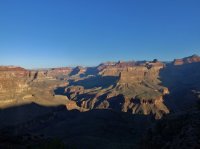
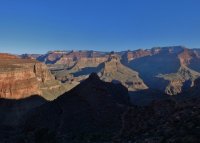
The next morning we got up early. We drove out the road to see the sun rise while waiting for the back country office to open up. It was chilly out on the rim, and Brittinei waited in the car.
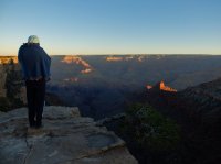
This is actually above the South Kaibab Trail. It follows the ridge on the right down to the river.
We went to the backcountry office, adjusted the number of people on my permit, and talked a little about water. Then we went to the cafeteria for a final big breakfast before we started the hike.
We drove out to the parking lot at Grandview Point, and managed to find a parking spot where we could leave our car. It wasn't easy. The point is aptly named. Here is looking down on Horseshoe Mesa, where we'd spend our first night. Easy three mile first day. Which was good, the down hill of this descent bothered Brittinei's knee more than any thing else on the whole trip. The campsites are on the bump on the right side of the neck that leads out to the horseshoe. Ellen and i walked out to the end of the east arm also.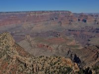
And Horseshoe Mesa in the bigger picture. From left to right, you can see. The east arm of Grapevine Canyon, Zoroaster, Brahma, and Deva Temples separating Bright Angel from Clear Creek, Angels Gate and Wotans Throne, Horseshoe Mesa, Krishna Shrine, Vishnu Temple, and Rama Shrine, the Palisades of the Desert, and even the Echo Cliffs beyond them. Granite Gorge runs through every thing, and you can see some of the Supergroup layers exposed there as well.
Zoomed in to the Palisades of the Desert on the way down. The Palisades are part of Marble Canyon, above the Little Colorado River confluence, not part of the Grand Canyon proper. The Colorado River makes an appearance just off center. Solomon Temple is the hill on the left. I enjoy this trail. Even with it's popularity, there still aren't too many people on it.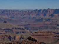
Some images of the old trail construction. The Grandview Trail was originally built by miners on Horseshoe Mesa.
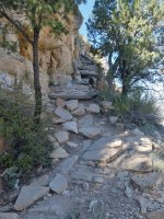
Logs along the wall to build a ramp.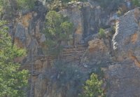
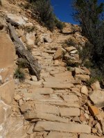
The cobblestone rip rap that must have taken so long to lay down. It's held up extremely well though.
Brittinei and Ellen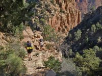
A shot of Zoroaster and Brahma Temples all the way over by Bright Angel, from the Grandview Trail.
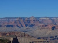
Coming down to the level of Horseshoe Mesa. You can see the old miner's cabin just below center.
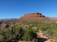
Here's our first night's camp site.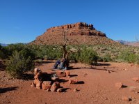
Looking up at one of the mines from camp. There is a ton of miner trash all over the place around the camp areas, and the old cabin. Rusty wire, rusty cans, old containers for ore, unidentifiable discs, broken pieces of glass, rusty nails. It's kind of awesome. Literally every where.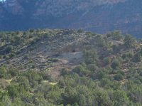
Here's Brittinei and the cabin. The tall part is the chimney. The roof has obviously been gone quite a long while.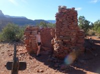
The fire place. When i'd come down to Horseshoe Mesa the year before i'd had no idea the cabin was here until we walked right up to it. Nice surprise.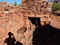
A hare we passed on our hike out to the end of the east arm of the Horseshoe.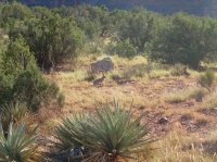
Brittinei didn't hike all the way out to the end of the mesa, her knee was still bothering her from the hike down. Ellen and i were lucky enough to see a bighorn sheep on one of the slopes below the end. Here is looking West down canyon. Zoroaster and Brahma Temples, Angels Gate, and Wotans Throne coming in from the right side.
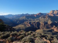
Bigger picture, looking North. Wotans Throne, Krishna, Vishnu and Rama, Palisades of the Desert.

The whole thing, down canyon and up.
Looking straight across. Wotans Throne is on the left edge, at rim level, and wooded. Vishnu is the tall one right in the center. Palisades of the Desert on the right. The Grand Canyon is made of sedimentary layers that run the whole way through, with the intrusions of only a few exceptions that only show up in certain places. The Grand Canyon Supergroup is the most obvious of those. You can see it here in thin stripes on the lower right that angle down slightly, while higher layers go straight across. I like the bright reds in there.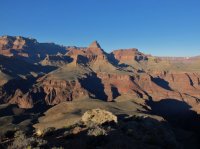
Zoomed in to Angels Gate on the right, Zoroaster and Brahma on the left.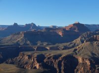
Last light on Vishnu Temple after we'd walked back to camp. Dinner time.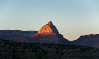
Camp.
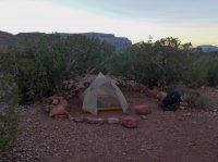
After dinner i made a water run to Page aka Miner Spring. The sign says Page, the topo says Miners. There's a trail, and it's about 600' below the rim of the mesa. It took me about an hour to get down, pump the water, and get back. It smelled like mint there.
One night's pumping.
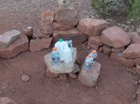
In the morning. The Ursack did a fantastic job keeping rodents out the whole way through the trip. We'd hear them scratching around it most nights.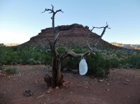
Breakfast, the kitchen/dining room.
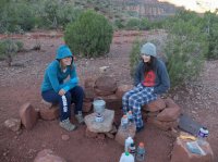
The next day we only had about a mile and a half to go to our next camp site. We just had to set up on the Tonto Platform below Horseshoe Mesa. I wanted the day to hike. I had originally wanted to follow the Tonto Trail east all the way to Hance Rapids where it meets the Colorado River. But not being entirely certain about this idea, i decided to walk Hance Canyon to the river. So the girls left Horseshoe Mesa to the west to descend to Cottonwood Canyon. I went east to Hance. After walking the canyon i'd follow the Tonto Trail around the base of Horseshoe Mesa to meet back up with them. Before leaving the top of the mesa i walked past one of the radioactive mines.
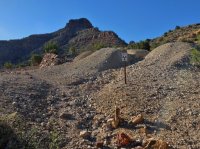
And on the way down to the Tonto level i passed a couple more mine entrances. Fascinating stuff beyond the gate. An old cart in this one.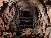
The second one.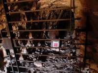
Outside one of the entrances. That second entrance is behind that tree.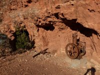
Here's the turn off for Page/Miners Spring. You can almost see where the spring is there, it's not far.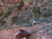
Vishnu Temple above the cleft of Hance Canyon. I left my pack some where around here where the trail from Horseshoe Mesa meets the Tonto trail. I took a bag with snacks and water down Hance to the river. I'd be coming back this way.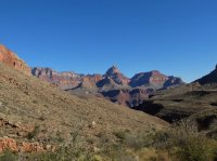
In the bed of Hance Canyon, going through the Tapeats.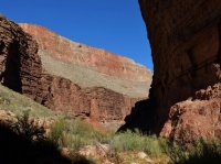
There was some water in Hance Creek which was nice.It would disappear closer to the river. There were a couple really nice camp sites near the creek just below the Tonto Trail.
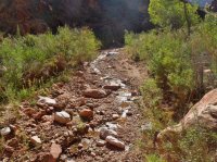
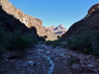
Going through the Vishnu layer.
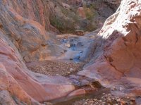
Here's a good chockstone. I climbed down below it, but then had to climb back up. Just around the corner from it is a much taller dry falls. I bypassed going over a ridge on the right and coming down below. Being an amateur this took a lot longer than it should have. I did a piss poor job looking for a used path and climbed around a lot more than i needed to. Look for the cairns, they make things easy. I was a lot quicker coming back up.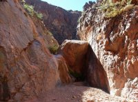
An other dry fall that i was just able to down climb. I would end up having to climb over bypasses three times total though. I enjoyed it. For some reason descending through the Tapeats and Vishnu layers to the river is one of my favorite things to do. It's so interesting, and you almost never see any one else there. I didn't in Hance. I went to the river at four different locations on this trip.
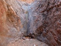
My first camera battery died shortly after this, so i didn't get any pictures at the river. I'd left my second battery with my full pack at the Tonto Trail. A mistake. But i hadn't expected the first to die on the second day. Even though i'd used it in Buckskin Gulch also. For some reason Hance Creek comes to the river at Sockdolager Rapids, while Red Canyon comes to the river at Hance Rapids. Though Red Canyon does carry the New Hance Trail. I went down to Sockdolager Rapids and enjoyed it there. I think it's the best rapids name in the whole canyon.
So i came back up Hance, got my pack, changed my camera battery, and started making my way around Horseshoe Mesa. Here's looking north as i turn from the edge of Hance.
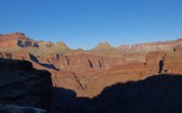
We occupied a very nice camp site in Cottonwood Canyon with no one else around , and we wouldn't see any one else again for two days until we came to the corridor trails. I made it to where Ellen and Brittinei had set up in Cottonwood just after sun set. There was a thin trickle of water in Cottonwood Creek that was filterable in some pools, mostly behind hiker made dams. Most of the flow was pretty filmy.
The next morning, as we started to hike out of Cottonwood Canyon. Angels Gate, Wotans Throne, Vishnu Temple.
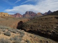
Tonto Trail along Cottonwood Canyon.
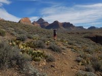
Along the trail with Angels Gate, Wotans Throne and some fantastic clouds. This was our first long day of three. About 12 miles. Even in october the after noon heat bothered Brittinei.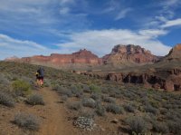
The view across Granite Gorge on our way from Cottonwood to Grapevine Canyon.
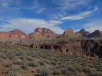
Some great views of Granite Gorge and the river here along the trail. I love the stripes in the bottom Vishnu layer. Old rocks.
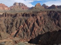
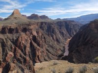
Coming around from Cottonwood to Grapevine. Zoroaster and Brahma in the distance, Angels Gate on the right.
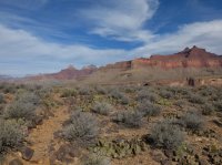
Desert scrub on a long bend turning into Grapevine Canyon. Grapevine cuts back deep toward the rim. If you look closely enough, you can make out Brittinei and Ellen on the trail in this picture.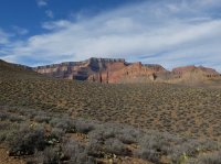
Close up of Zoroaster and Brahma across the mouth of Grapevine Canyon.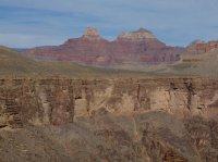
We stopped for lunch in Grapevine Canyon, crossing the bed. No water was flowing at the crossing, but there was some water in pot holes. Even a frog in one of them. The pot hole water quickly clogged my filter though. I had to take it apart, clean it, and then we back tracked to where a spring had been flowing across the trail along the east side of Grapevine. It is marked on the topo. The trickle was not deep, but we were creative enough to be able to pump there. Took less than an hour to go back and get it. This was the last water we would see for 17 miles, a day and a half. Grapevine did not feel as long as i had anticipated it would. Perhaps because we stopped in the middle.
Pretty good sized boulder on the way out of Grapevine. Notice Ellen closer to it.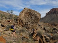
Looking back at the light fading from the butte as we made our was between Grapevine and Boulder Canyons.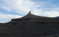
We camped in Boulder and found no water there, though it was evident where water seeped at wetter times. The next morning we got up early to try to avoid hiking in the heat of the after noon, a habit we would keep for the rest of the trip. It was nice, it got the hiking done early. This was our second long day, 11+ miles to Bright Angel camp ground.
Zoroaster and Brahma getting closer. On our way around from Boulder to Lonetree Canyon.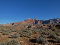
The river comes into sight again so i make them stand still.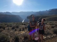
Finally passing Zoroaster and Brahma on our way to Lonetree Canyon.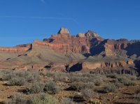
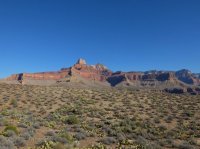
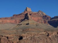
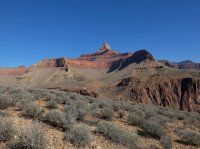
Lonetree is small, and did not take long to hike through. Cremation how ever is very wide, and seemed to take for ever to get across. I think partly because you can see all of it the entire time, and because it is so open that it never feels like you leave it. Also there is the anticipation of the relative convenience of running water at Bright Angel that you keep expecting to see some sign of getting close to. On our way turning in toward Cremation we came across these walls.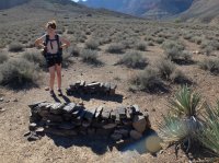
Here is looking back up Cremation after having crossed it's very dry wash.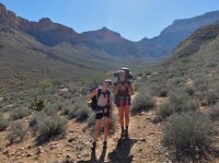
Plants in Cremation.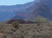
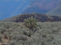
Looking across at Zoroaster, close enough now you can't see Brahma behind it. Making our way into the hills West of Cremation, as we near the South Kaibab Trail. This was the one place that we lost the trail. It just seemed to disappear beyond some obvious cairns. Quickly relocated it with the map though.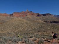
We made our way through some tiny hills, and then over to the South Kaibab Trail at the Tipoff. And took advantage of the toilets there. I let Ellen and Brittinei start ahead of me. I rested my back for a few more minutes. I had most of the food, and my pack was a lot heavier than usual. Catching up, here the girls are on the way down to the river.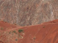
And the perspective.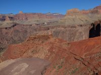
The river below the South Kaibab Trail. Bright red rocks of the Supergroup across the canyon.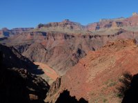
And looking down the switchbacks to the river. The beach on the left, and the black bridge on the right. You can see the trail to Bright Angel from the bridge.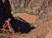
Almost to the river. The river trail on the left, the silver bridge spanning the river, Bright Angel Creek's delta, and Bright Angel camp ground at the cottonwoods in the canyon there.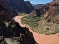
The black bridge crossing the Colorado. Built in the 1920s, they carried the suspension cables down on dudes' shoulders.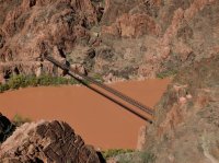
And finally at Bright Angel. Brittinei couldn't wait for the tent to set up to take a nap. The next day was our last long one though. The girls were of course impressed by the bustle of Bright Angel after the hiking we had done. You can see hundreds of people go by there in a day. Running water was nice for a minute in the middle of the trip. We walked by Phantom Ranch also so they could see what a bizarre place it is. We made the mistake of walking by the kitchen while they were cooking dinner though, and of course hurried back to camp starving.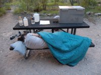
We left camp very early the next morning, may be the first group out of there. Crossed the silver bridge back to our proper side of the river.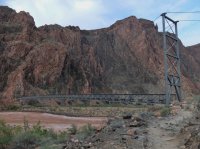
We had a little more than ten miles to our site at Salt Creek. Brittinei was terrified of this bridge walking. I guess the thing could've collapsed at any moment.
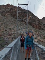
Walking along the river trail to Pipe Creek, and the Bright Angel Trail up to Indian Garden.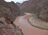
It's less than five miles from Bright Angel to Indian Garden. The trail winds it's way up consistently. Almost to Indian Garden we passed this small fall in Garden Creek.
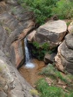
Brittinei on the trail through the Tapeats, almost at Indian Garden.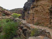
We stopped and ate lunch while the picnic tables,bathrooms, and running water of Indian Garden were on hand and then continued on our way. An other 7 miles to Salt Creek. Here's looking back as we departed. Indian Garden is at the cottonwoods on the left.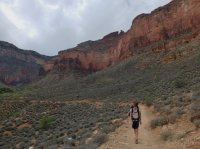
At the trail junction. A spur goes off to Plateau Point.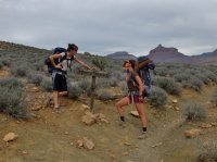
Brahma and Zoroaster from the other side i suppose. On our way to Horn Creek on our way to Salt Creek.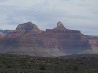
The view west.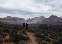
The walls on our south side.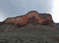
Across the canyon.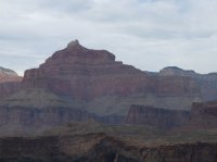
Entering Horn Creek canyon. At the camp there we met two of the coolest old backpackers and talked to them for more than half an hour. Really cool guys.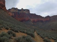
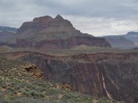

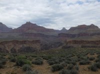
Near Salt Creek.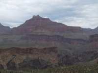
Looking back at Wotans Throne and Angels Gate.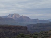
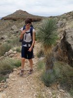
Yucca.
The river, near Salt Creek.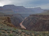
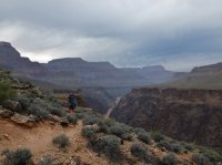
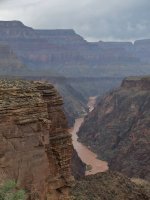
The amphitheater above Salt Creek.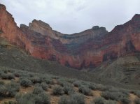
Brittinei coming down through the Tapeats to cross Salt Creek. The camp site was up on the other side. There was a tiny trickle of water flowing in Salt Creek. I taste tested it, and it was minerally as reports said it would be, and as the name implies. We had brought enough water from Indian Garden to last us to the next day.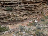
The view from camp.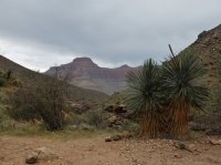
After setting up i walked out to the end of a point between Salt Creek and a draw that parallels it. Looking down on the wash of Salt creek meeting the river.
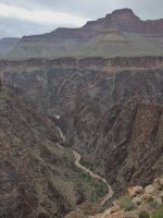
Looking back at the walls, the amphitheater we're camped in right of center.
A cactus.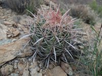
Salt Creek goes over a pour off of what looks like about two hundred feet below the Tapeats.
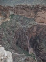
Same place.
Clouds above salt creek the next morning.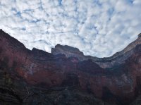
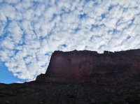
Salt Creek camp.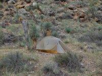
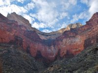
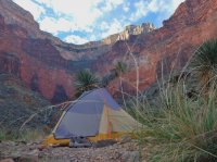
I let the girls start ahead of me this day. I wanted to walk down Salt Creek to the top of that pour off. Here's a chockstone on the way down.
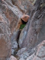
And the top of the big pour off.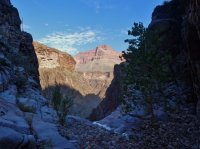
Looking down it. Turns it actually goes in two steps.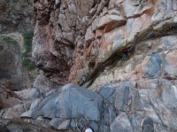
Clouds from the trail. We only had five miles to go to Granite Rapids this day.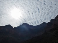
Along the trail, across the canyon.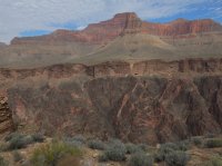
Looking back up the river. Brahma and Zoroaster are on the sky line.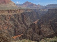
Clouds.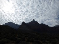
West.
East.
Both.
The monument of Monument Creek. We'd follow Monument down to Granite Rapids where we'd camp at the river that night. In this picture you can see the Tonto Trail, and the cut off that leads down to Monument Creek below the narrows. We followed the creek bed through the narrows on the way down though and really enjoyed it.
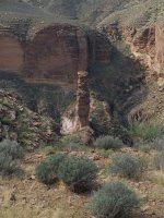
Arriving at the Vishnu and the start of the narrows.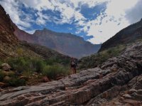
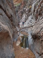
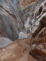
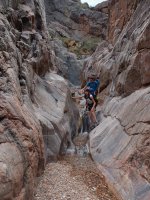
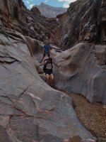
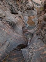
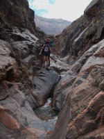
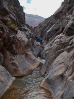
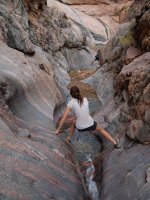
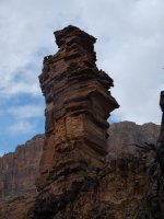
The monument from below.
The creek below the narrows.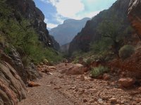
Arrived at Granite Rapids.
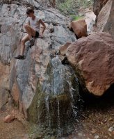
Whenever possible....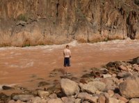
The pool above the rapids.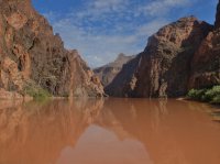
A little terror.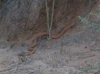
Above Granite Rapids at the beach where we would camp.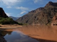

I saw it again. Later that night i'd hear one without ever seeing it at dusk. I was walking back the other way before i even realized what was happening.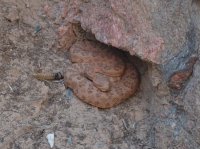
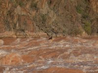
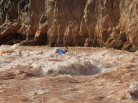
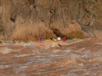
A river party came up to our beach. They gave Brittinei and Ellen some beers that they were very excited about. Here they are lining up to run the rapid. Granite is an 8 on the 1 to 10 Grand Canyon scale.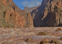
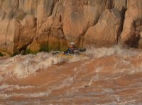
This guy struggled a little to stay upright.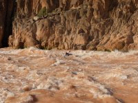
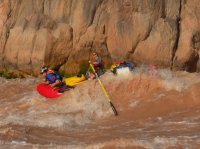
This guy lost hold of an oar.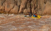
But he got it back.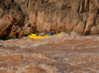
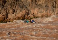
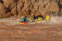
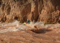
And then they left.
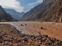
I wandered around some. Granite Rapids from above.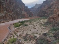
Last light, below the rapid.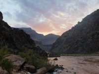
We saw a beaver the next morning.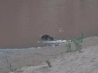
The top of Granite Rapids.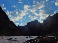
Ellen's tent. Technically my tent.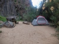
Our tent.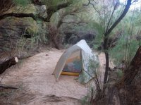
Looking up Monument Creek as we started up.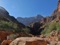
Backto the monument.
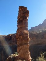
Looking down on the narrows we'd gone through the day before.
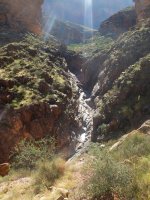
And the monument.
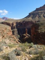
Ellen, as we come around from Monument to Hermit Creek. An other five mile day.
The river. Hermit Rapid.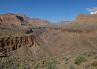
An old corral near the camp at Hermit Creek.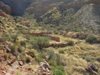
A pool at Hermit Creek below the camp site. The camp at Hermit Creek stank. Literally, it was offensive to the nose. It also had a terrible rodent problem, the only visible rodent problem we saw on our trip.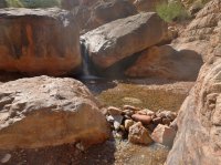
The girls hung out at camp, but i walked down the creek to the rapids.
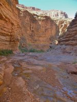
Water fall in the creek.
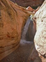
Tapeats narrows.
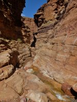
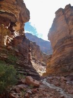
Fallen rocks.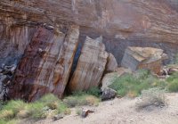
Fallen rocks and water falls.
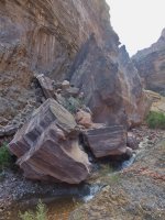
Descending Hermit Creek. Lovely walk, saw no one.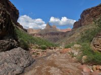
Hermit Creek had a lot of water in it compared to any of the other creeks we cam by with the exception of Bright Ange, which had a ton. But Bright Angel comes from Roaring Springs.
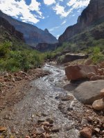
Hermit Rapids.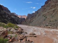
The pool above it.
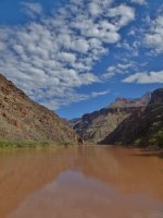
This guy crawled right up next to me.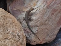
And i found these two unopened washed up below hermit Rapids. Made Brittinei and Ellen's day. I don't partake.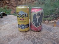
After coming back up from the rapids there was still good day light left. So i walked farther along the Tonto out of Hermit Creek's canyon. Looking back toward Hermit.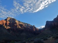
This was as far as i walked. Looking west. Sad to turn around. This was the last day. Tomorrow we'd just be hiking out.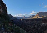
Across the canyon.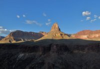
The river and Hermit Rapids from that point.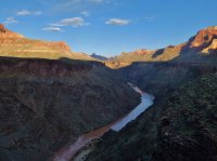
Walking back to camp.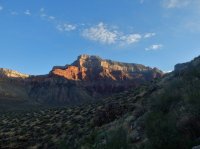
The Cathedral Stairs on the Hermit Trail run through here.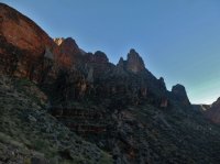
Next morning we were up before dawn. Ready to do the getting out. The trail goes up the east side of a canyon, so we were able to do almost all our morning walking in the shade. Little heat of the sun. A little more than 8 miles. The sun coming up. Hermit Creek on the bottom left.
Looking back down the trail.
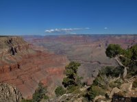
And at the rim. The end of the trip.
It took me three and a half hours to make it up from Hermit Creek, but i never stopped long enough to sit down. The girls took four and a half hours. I went back down and carried Brittinei's pack up the last bit.
At the hermit's Rest parking lot we ran in to the pair of guys we'd chatted with in Horn Creek and conned them in to giving us a ride back to our car at the Grandview trailhead. It was great to see them again. They were fantastic.
We ate a big meal at the cafeteria before getting on the road to Provo.
Way cooler than Buckskin Gulch.
The girls probably did about 55 miles, i did between 75 and 80 with the extra places i went to.
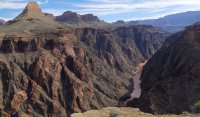
Featured image for home page:
First of all the disclaimer. I had a strange experience this trip, where i took hundreds of photos, and ended up liking the majority of them quite a bit. I've tried to pare down the selection. But i feel that all of these are relevant to the story of this trip. We covered a lot of ground, and saw quite a bit. I have no frame of reference for how many pictures is too many. Hopefully this isn't a big bore for any one reading this.
Secondly, the back story. Three years ago i went on a trip with my family through the national parks in Utah. We also made it down to the Grand Canyon, but only on a day trip from St George. Both of my grandmas were there. I only walked out to Bright Angel point, and left very unsatisfied. Last year i was able to go down with my brother for a week. We hiked rim to rim to rim from the north, and during an extra day on the south side, we hiked Horseshoe Mesa. However, while at Indian Garden on the way across, i had the time to hike the Tonto Trail out past Horn Creek, and it was this that had the greatest impact on me. Watching the canyon unfold as i went along the Platform, having it change rounding a bend. I wanted more of that, and to see more of the canyon. So i ended up planning this trip along the Tonto Trail.

and the link
Purple dots are where we camped. The black hashes mark the boundaries between use areas for at large camping. The orange is the base of our trail, and the yellow includes day hikes.
The forestory. My girl, Brittinei, had been pretty broken up that she hadn't been able to come along on the trip the year before. So this was a big deal to her. The people we had initially planned on going with ended up bailing, some of them just a few days before the trip. How ever, Brittinei's friend Ellen finished her firefighting season just a few days before the trip, and with no plans, was very excited to come with us. This was Ellen's first official 'backpack'. And it was Brittinei's third.
We drove down to Provo friday after work, and stayed the night at my brother's place there. The next day we hung out with him and his wife before driving down to Buckskin Gulch. After day hiking Buckskin Gulch on sunday, we drove the rest of the way to the Grand Canyon, and stayed the night at Mather Campground.
The next morning we got up early. We drove out the road to see the sun rise while waiting for the back country office to open up. It was chilly out on the rim, and Brittinei waited in the car.

This is actually above the South Kaibab Trail. It follows the ridge on the right down to the river.
We went to the backcountry office, adjusted the number of people on my permit, and talked a little about water. Then we went to the cafeteria for a final big breakfast before we started the hike.
We drove out to the parking lot at Grandview Point, and managed to find a parking spot where we could leave our car. It wasn't easy. The point is aptly named. Here is looking down on Horseshoe Mesa, where we'd spend our first night. Easy three mile first day. Which was good, the down hill of this descent bothered Brittinei's knee more than any thing else on the whole trip. The campsites are on the bump on the right side of the neck that leads out to the horseshoe. Ellen and i walked out to the end of the east arm also.

And Horseshoe Mesa in the bigger picture. From left to right, you can see. The east arm of Grapevine Canyon, Zoroaster, Brahma, and Deva Temples separating Bright Angel from Clear Creek, Angels Gate and Wotans Throne, Horseshoe Mesa, Krishna Shrine, Vishnu Temple, and Rama Shrine, the Palisades of the Desert, and even the Echo Cliffs beyond them. Granite Gorge runs through every thing, and you can see some of the Supergroup layers exposed there as well.

Zoomed in to the Palisades of the Desert on the way down. The Palisades are part of Marble Canyon, above the Little Colorado River confluence, not part of the Grand Canyon proper. The Colorado River makes an appearance just off center. Solomon Temple is the hill on the left. I enjoy this trail. Even with it's popularity, there still aren't too many people on it.

Some images of the old trail construction. The Grandview Trail was originally built by miners on Horseshoe Mesa.

Logs along the wall to build a ramp.

The cobblestone rip rap that must have taken so long to lay down. It's held up extremely well though.

Brittinei and Ellen

A shot of Zoroaster and Brahma Temples all the way over by Bright Angel, from the Grandview Trail.

Coming down to the level of Horseshoe Mesa. You can see the old miner's cabin just below center.

Here's our first night's camp site.

Looking up at one of the mines from camp. There is a ton of miner trash all over the place around the camp areas, and the old cabin. Rusty wire, rusty cans, old containers for ore, unidentifiable discs, broken pieces of glass, rusty nails. It's kind of awesome. Literally every where.

Here's Brittinei and the cabin. The tall part is the chimney. The roof has obviously been gone quite a long while.

The fire place. When i'd come down to Horseshoe Mesa the year before i'd had no idea the cabin was here until we walked right up to it. Nice surprise.

A hare we passed on our hike out to the end of the east arm of the Horseshoe.

Brittinei didn't hike all the way out to the end of the mesa, her knee was still bothering her from the hike down. Ellen and i were lucky enough to see a bighorn sheep on one of the slopes below the end. Here is looking West down canyon. Zoroaster and Brahma Temples, Angels Gate, and Wotans Throne coming in from the right side.

Bigger picture, looking North. Wotans Throne, Krishna, Vishnu and Rama, Palisades of the Desert.

The whole thing, down canyon and up.

Looking straight across. Wotans Throne is on the left edge, at rim level, and wooded. Vishnu is the tall one right in the center. Palisades of the Desert on the right. The Grand Canyon is made of sedimentary layers that run the whole way through, with the intrusions of only a few exceptions that only show up in certain places. The Grand Canyon Supergroup is the most obvious of those. You can see it here in thin stripes on the lower right that angle down slightly, while higher layers go straight across. I like the bright reds in there.

Zoomed in to Angels Gate on the right, Zoroaster and Brahma on the left.

Last light on Vishnu Temple after we'd walked back to camp. Dinner time.

Camp.

After dinner i made a water run to Page aka Miner Spring. The sign says Page, the topo says Miners. There's a trail, and it's about 600' below the rim of the mesa. It took me about an hour to get down, pump the water, and get back. It smelled like mint there.
One night's pumping.

In the morning. The Ursack did a fantastic job keeping rodents out the whole way through the trip. We'd hear them scratching around it most nights.

Breakfast, the kitchen/dining room.

The next day we only had about a mile and a half to go to our next camp site. We just had to set up on the Tonto Platform below Horseshoe Mesa. I wanted the day to hike. I had originally wanted to follow the Tonto Trail east all the way to Hance Rapids where it meets the Colorado River. But not being entirely certain about this idea, i decided to walk Hance Canyon to the river. So the girls left Horseshoe Mesa to the west to descend to Cottonwood Canyon. I went east to Hance. After walking the canyon i'd follow the Tonto Trail around the base of Horseshoe Mesa to meet back up with them. Before leaving the top of the mesa i walked past one of the radioactive mines.

And on the way down to the Tonto level i passed a couple more mine entrances. Fascinating stuff beyond the gate. An old cart in this one.

The second one.

Outside one of the entrances. That second entrance is behind that tree.

Here's the turn off for Page/Miners Spring. You can almost see where the spring is there, it's not far.

Vishnu Temple above the cleft of Hance Canyon. I left my pack some where around here where the trail from Horseshoe Mesa meets the Tonto trail. I took a bag with snacks and water down Hance to the river. I'd be coming back this way.

In the bed of Hance Canyon, going through the Tapeats.

There was some water in Hance Creek which was nice.It would disappear closer to the river. There were a couple really nice camp sites near the creek just below the Tonto Trail.


Going through the Vishnu layer.

Here's a good chockstone. I climbed down below it, but then had to climb back up. Just around the corner from it is a much taller dry falls. I bypassed going over a ridge on the right and coming down below. Being an amateur this took a lot longer than it should have. I did a piss poor job looking for a used path and climbed around a lot more than i needed to. Look for the cairns, they make things easy. I was a lot quicker coming back up.

An other dry fall that i was just able to down climb. I would end up having to climb over bypasses three times total though. I enjoyed it. For some reason descending through the Tapeats and Vishnu layers to the river is one of my favorite things to do. It's so interesting, and you almost never see any one else there. I didn't in Hance. I went to the river at four different locations on this trip.

My first camera battery died shortly after this, so i didn't get any pictures at the river. I'd left my second battery with my full pack at the Tonto Trail. A mistake. But i hadn't expected the first to die on the second day. Even though i'd used it in Buckskin Gulch also. For some reason Hance Creek comes to the river at Sockdolager Rapids, while Red Canyon comes to the river at Hance Rapids. Though Red Canyon does carry the New Hance Trail. I went down to Sockdolager Rapids and enjoyed it there. I think it's the best rapids name in the whole canyon.
So i came back up Hance, got my pack, changed my camera battery, and started making my way around Horseshoe Mesa. Here's looking north as i turn from the edge of Hance.

We occupied a very nice camp site in Cottonwood Canyon with no one else around , and we wouldn't see any one else again for two days until we came to the corridor trails. I made it to where Ellen and Brittinei had set up in Cottonwood just after sun set. There was a thin trickle of water in Cottonwood Creek that was filterable in some pools, mostly behind hiker made dams. Most of the flow was pretty filmy.
The next morning, as we started to hike out of Cottonwood Canyon. Angels Gate, Wotans Throne, Vishnu Temple.

Tonto Trail along Cottonwood Canyon.

Along the trail with Angels Gate, Wotans Throne and some fantastic clouds. This was our first long day of three. About 12 miles. Even in october the after noon heat bothered Brittinei.

The view across Granite Gorge on our way from Cottonwood to Grapevine Canyon.

Some great views of Granite Gorge and the river here along the trail. I love the stripes in the bottom Vishnu layer. Old rocks.


Coming around from Cottonwood to Grapevine. Zoroaster and Brahma in the distance, Angels Gate on the right.

Desert scrub on a long bend turning into Grapevine Canyon. Grapevine cuts back deep toward the rim. If you look closely enough, you can make out Brittinei and Ellen on the trail in this picture.

Close up of Zoroaster and Brahma across the mouth of Grapevine Canyon.

We stopped for lunch in Grapevine Canyon, crossing the bed. No water was flowing at the crossing, but there was some water in pot holes. Even a frog in one of them. The pot hole water quickly clogged my filter though. I had to take it apart, clean it, and then we back tracked to where a spring had been flowing across the trail along the east side of Grapevine. It is marked on the topo. The trickle was not deep, but we were creative enough to be able to pump there. Took less than an hour to go back and get it. This was the last water we would see for 17 miles, a day and a half. Grapevine did not feel as long as i had anticipated it would. Perhaps because we stopped in the middle.
Pretty good sized boulder on the way out of Grapevine. Notice Ellen closer to it.

Looking back at the light fading from the butte as we made our was between Grapevine and Boulder Canyons.

We camped in Boulder and found no water there, though it was evident where water seeped at wetter times. The next morning we got up early to try to avoid hiking in the heat of the after noon, a habit we would keep for the rest of the trip. It was nice, it got the hiking done early. This was our second long day, 11+ miles to Bright Angel camp ground.
Zoroaster and Brahma getting closer. On our way around from Boulder to Lonetree Canyon.

The river comes into sight again so i make them stand still.

Finally passing Zoroaster and Brahma on our way to Lonetree Canyon.


Lonetree is small, and did not take long to hike through. Cremation how ever is very wide, and seemed to take for ever to get across. I think partly because you can see all of it the entire time, and because it is so open that it never feels like you leave it. Also there is the anticipation of the relative convenience of running water at Bright Angel that you keep expecting to see some sign of getting close to. On our way turning in toward Cremation we came across these walls.

Here is looking back up Cremation after having crossed it's very dry wash.

Plants in Cremation.


Looking across at Zoroaster, close enough now you can't see Brahma behind it. Making our way into the hills West of Cremation, as we near the South Kaibab Trail. This was the one place that we lost the trail. It just seemed to disappear beyond some obvious cairns. Quickly relocated it with the map though.

We made our way through some tiny hills, and then over to the South Kaibab Trail at the Tipoff. And took advantage of the toilets there. I let Ellen and Brittinei start ahead of me. I rested my back for a few more minutes. I had most of the food, and my pack was a lot heavier than usual. Catching up, here the girls are on the way down to the river.

And the perspective.

The river below the South Kaibab Trail. Bright red rocks of the Supergroup across the canyon.

And looking down the switchbacks to the river. The beach on the left, and the black bridge on the right. You can see the trail to Bright Angel from the bridge.

Almost to the river. The river trail on the left, the silver bridge spanning the river, Bright Angel Creek's delta, and Bright Angel camp ground at the cottonwoods in the canyon there.

The black bridge crossing the Colorado. Built in the 1920s, they carried the suspension cables down on dudes' shoulders.

And finally at Bright Angel. Brittinei couldn't wait for the tent to set up to take a nap. The next day was our last long one though. The girls were of course impressed by the bustle of Bright Angel after the hiking we had done. You can see hundreds of people go by there in a day. Running water was nice for a minute in the middle of the trip. We walked by Phantom Ranch also so they could see what a bizarre place it is. We made the mistake of walking by the kitchen while they were cooking dinner though, and of course hurried back to camp starving.

We left camp very early the next morning, may be the first group out of there. Crossed the silver bridge back to our proper side of the river.

We had a little more than ten miles to our site at Salt Creek. Brittinei was terrified of this bridge walking. I guess the thing could've collapsed at any moment.

Walking along the river trail to Pipe Creek, and the Bright Angel Trail up to Indian Garden.

It's less than five miles from Bright Angel to Indian Garden. The trail winds it's way up consistently. Almost to Indian Garden we passed this small fall in Garden Creek.

Brittinei on the trail through the Tapeats, almost at Indian Garden.

We stopped and ate lunch while the picnic tables,bathrooms, and running water of Indian Garden were on hand and then continued on our way. An other 7 miles to Salt Creek. Here's looking back as we departed. Indian Garden is at the cottonwoods on the left.

At the trail junction. A spur goes off to Plateau Point.

Brahma and Zoroaster from the other side i suppose. On our way to Horn Creek on our way to Salt Creek.

The view west.

The walls on our south side.

Across the canyon.

Entering Horn Creek canyon. At the camp there we met two of the coolest old backpackers and talked to them for more than half an hour. Really cool guys.


Near Salt Creek.

Looking back at Wotans Throne and Angels Gate.

Yucca.

The river, near Salt Creek.


The amphitheater above Salt Creek.

Brittinei coming down through the Tapeats to cross Salt Creek. The camp site was up on the other side. There was a tiny trickle of water flowing in Salt Creek. I taste tested it, and it was minerally as reports said it would be, and as the name implies. We had brought enough water from Indian Garden to last us to the next day.

The view from camp.

After setting up i walked out to the end of a point between Salt Creek and a draw that parallels it. Looking down on the wash of Salt creek meeting the river.

Looking back at the walls, the amphitheater we're camped in right of center.

A cactus.

Salt Creek goes over a pour off of what looks like about two hundred feet below the Tapeats.

Same place.

Clouds above salt creek the next morning.


Salt Creek camp.


I let the girls start ahead of me this day. I wanted to walk down Salt Creek to the top of that pour off. Here's a chockstone on the way down.

And the top of the big pour off.

Looking down it. Turns it actually goes in two steps.

Clouds from the trail. We only had five miles to go to Granite Rapids this day.

Along the trail, across the canyon.

Looking back up the river. Brahma and Zoroaster are on the sky line.

Clouds.

West.

East.

Both.

The monument of Monument Creek. We'd follow Monument down to Granite Rapids where we'd camp at the river that night. In this picture you can see the Tonto Trail, and the cut off that leads down to Monument Creek below the narrows. We followed the creek bed through the narrows on the way down though and really enjoyed it.

Arriving at the Vishnu and the start of the narrows.


The monument from below.

The creek below the narrows.

Arrived at Granite Rapids.

Whenever possible....

The pool above the rapids.

A little terror.

Above Granite Rapids at the beach where we would camp.


I saw it again. Later that night i'd hear one without ever seeing it at dusk. I was walking back the other way before i even realized what was happening.

A river party came up to our beach. They gave Brittinei and Ellen some beers that they were very excited about. Here they are lining up to run the rapid. Granite is an 8 on the 1 to 10 Grand Canyon scale.


This guy struggled a little to stay upright.


This guy lost hold of an oar.

But he got it back.


And then they left.

I wandered around some. Granite Rapids from above.

Last light, below the rapid.

We saw a beaver the next morning.

The top of Granite Rapids.

Ellen's tent. Technically my tent.

Our tent.

Looking up Monument Creek as we started up.

Backto the monument.

Looking down on the narrows we'd gone through the day before.

And the monument.

Ellen, as we come around from Monument to Hermit Creek. An other five mile day.

The river. Hermit Rapid.

An old corral near the camp at Hermit Creek.

A pool at Hermit Creek below the camp site. The camp at Hermit Creek stank. Literally, it was offensive to the nose. It also had a terrible rodent problem, the only visible rodent problem we saw on our trip.

The girls hung out at camp, but i walked down the creek to the rapids.

Water fall in the creek.

Tapeats narrows.


Fallen rocks.

Fallen rocks and water falls.

Descending Hermit Creek. Lovely walk, saw no one.

Hermit Creek had a lot of water in it compared to any of the other creeks we cam by with the exception of Bright Ange, which had a ton. But Bright Angel comes from Roaring Springs.

Hermit Rapids.

The pool above it.

This guy crawled right up next to me.

And i found these two unopened washed up below hermit Rapids. Made Brittinei and Ellen's day. I don't partake.

After coming back up from the rapids there was still good day light left. So i walked farther along the Tonto out of Hermit Creek's canyon. Looking back toward Hermit.

This was as far as i walked. Looking west. Sad to turn around. This was the last day. Tomorrow we'd just be hiking out.

Across the canyon.

The river and Hermit Rapids from that point.

Walking back to camp.

The Cathedral Stairs on the Hermit Trail run through here.

Next morning we were up before dawn. Ready to do the getting out. The trail goes up the east side of a canyon, so we were able to do almost all our morning walking in the shade. Little heat of the sun. A little more than 8 miles. The sun coming up. Hermit Creek on the bottom left.

Looking back down the trail.

And at the rim. The end of the trip.

It took me three and a half hours to make it up from Hermit Creek, but i never stopped long enough to sit down. The girls took four and a half hours. I went back down and carried Brittinei's pack up the last bit.
At the hermit's Rest parking lot we ran in to the pair of guys we'd chatted with in Horn Creek and conned them in to giving us a ride back to our car at the Grandview trailhead. It was great to see them again. They were fantastic.
We ate a big meal at the cafeteria before getting on the road to Provo.
Way cooler than Buckskin Gulch.
The girls probably did about 55 miles, i did between 75 and 80 with the extra places i went to.
Featured image for home page:

Last edited:
