John Morrow
Member
- Joined
- May 22, 2015
- Messages
- 1,102
Part two of the Grand Canyon included a layover day and 2nd night at Deer Creek Camp followed by a climb back onto the Esplanade for a nice final night camp and hike out the last day.
April 21:
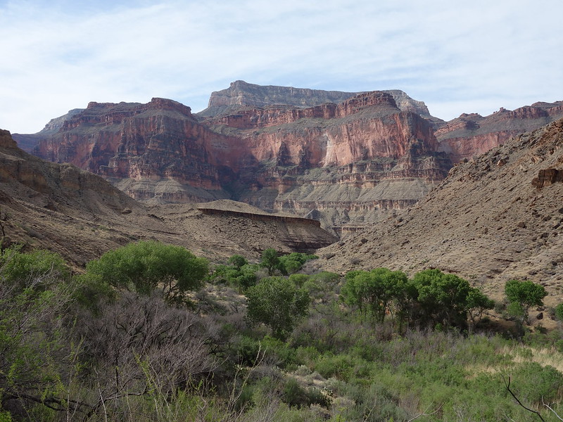
We laid over in Deer Creek Canyon for the day giving each of us the opportunity to visit waterfalls, lounge on the Patio and/or explore forks of Middle Deer Canyon.
Tranquil Deer Creek by John Morrow, on Flickr
layover day exploration by John Morrow, on Flickr
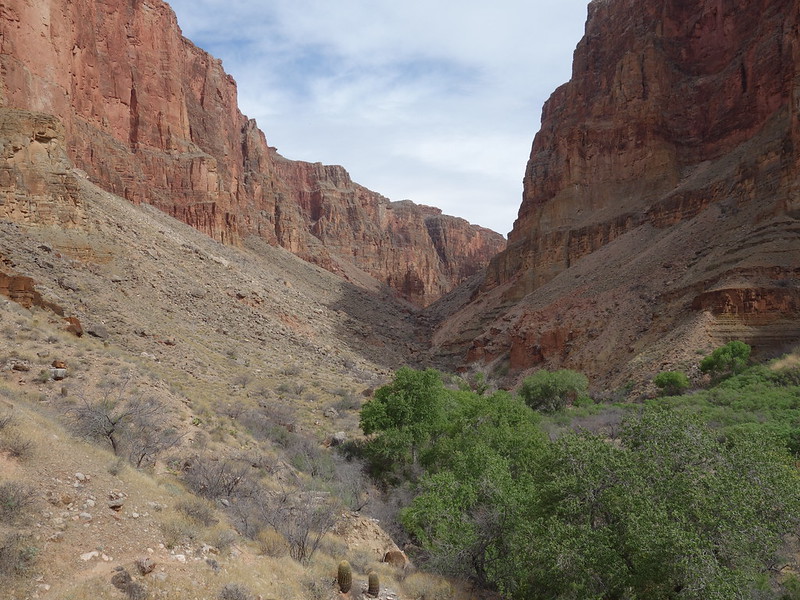
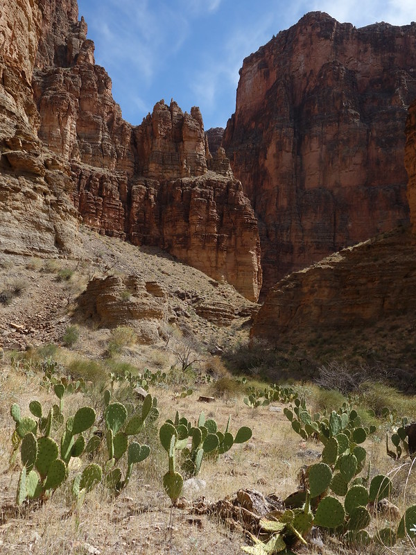
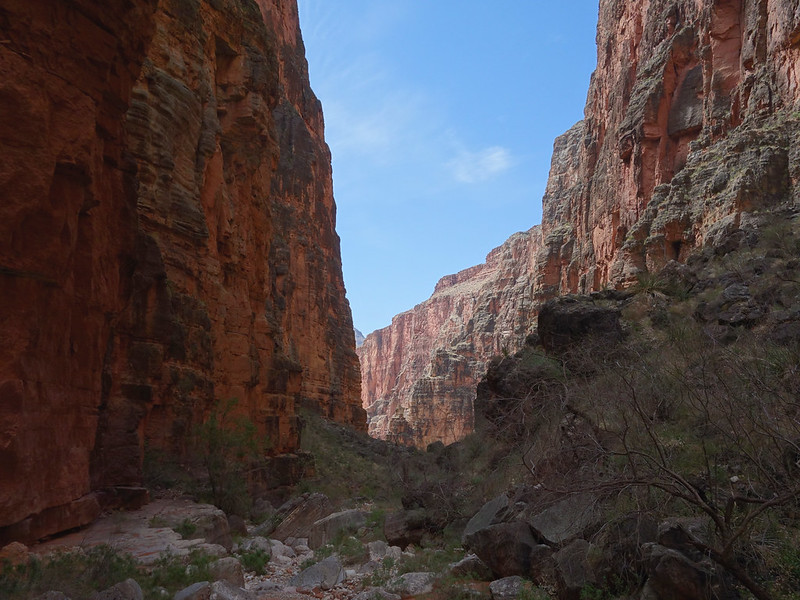
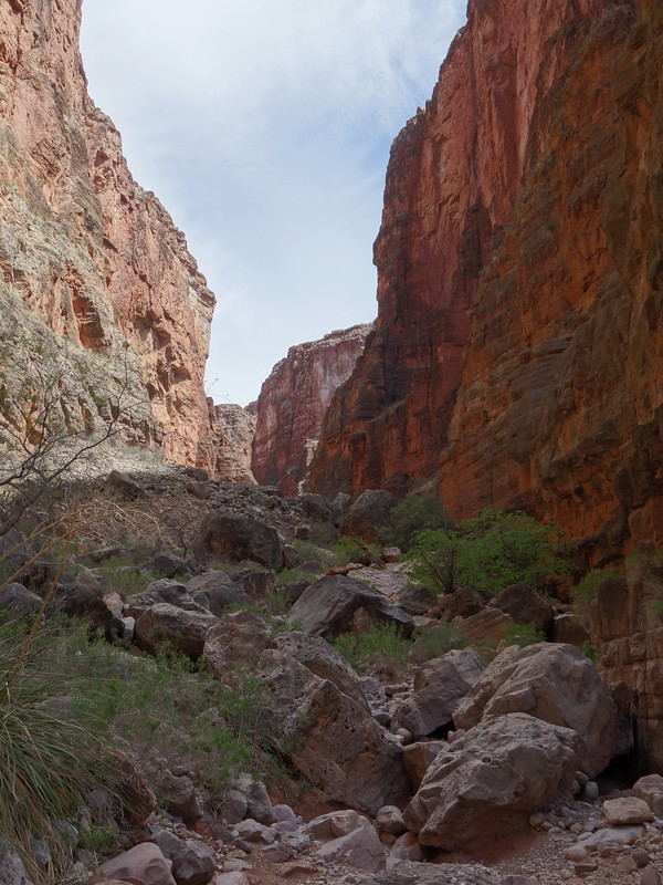
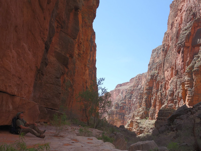
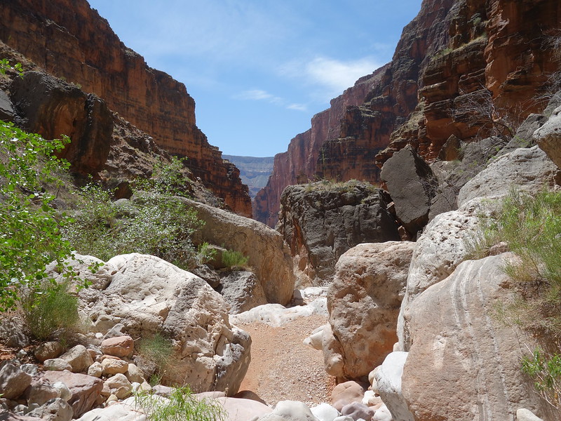
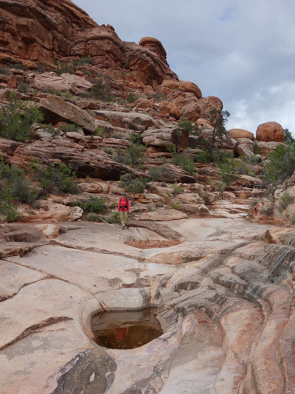
I headed as far up the forks of Deer Canyon as I had the energy to. My goal was to reach the Redwall Limestone and hope for some pretty narrows after reaching the junction of the main and east forks.
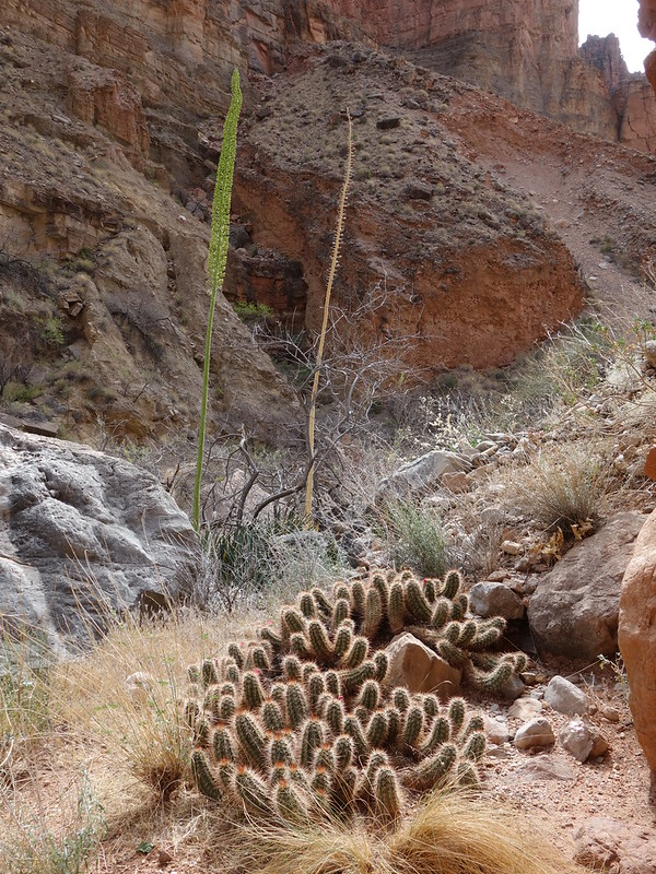
yucca bloom by John Morrow, on Flickr
Upcanyon in Deer Cr Canyon by John Morrow, on Flickr
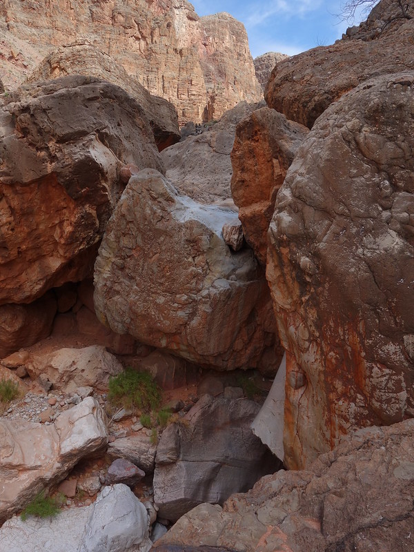
more jams in middle Deer Canyon by John Morrow, on Flickr
made it to canyon forks! by John Morrow, on Flickr

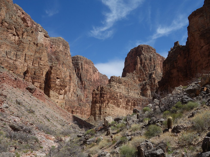
Main Deer Canyon by John Morrow, on Flickr
East Fork Deer Canyon by John Morrow, on Flickr
E. Fk ends for me at rockslide by John Morrow, on Flickr
a lunch counter by John Morrow, on Flickr
turn around, distant fork ahead by John Morrow, on Flickr
lunch by John Morrow, on Flickr
return by John Morrow, on Flickr
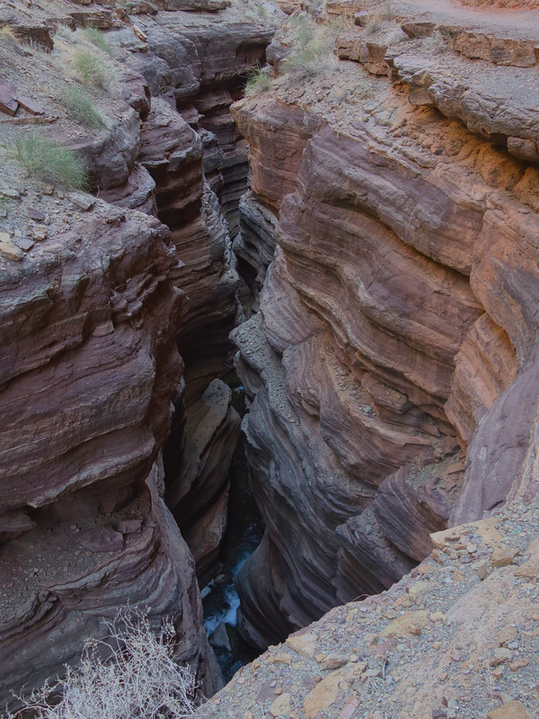
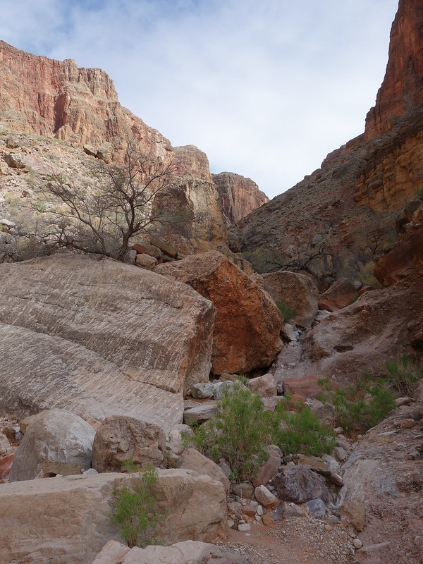
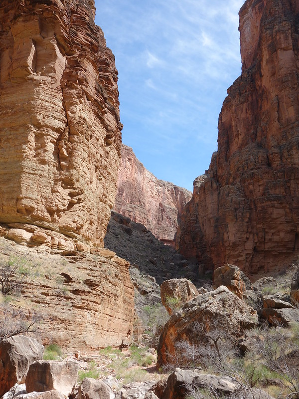
narrows by John Morrow, on Flickr
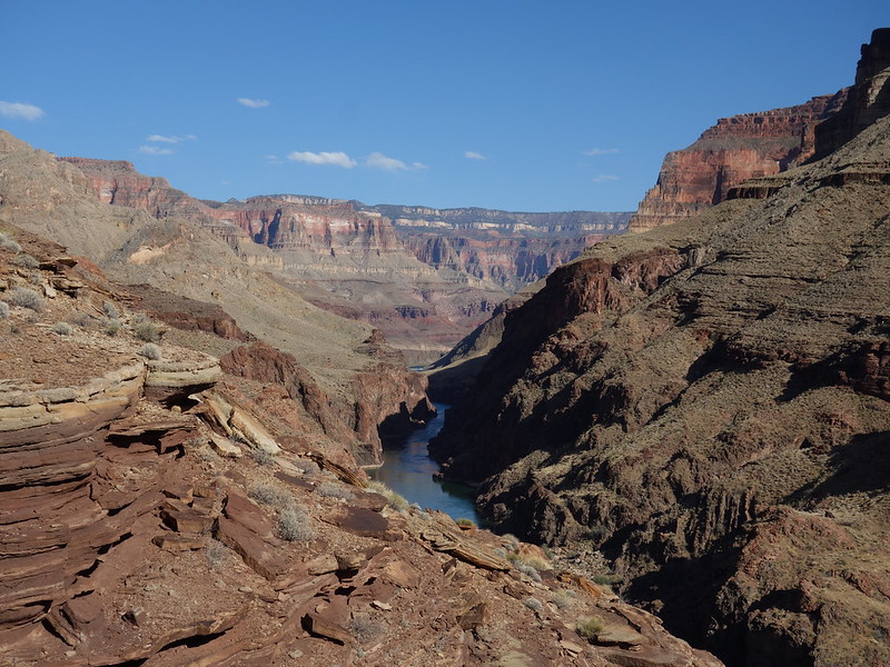
above the river by John Morrow, on Flickr
April 22:
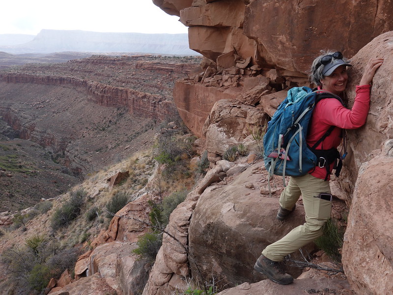
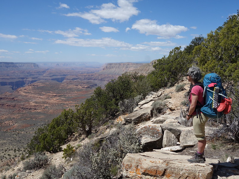
Time to pack up and take the trail back up to the Esplanade camp we had on our first night. Temps cooled off which made it much nicer.
Last morning by John Morrow, on Flickr
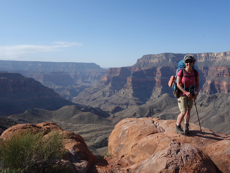
Back to Esplanade by John Morrow, on Flickr
In the evening Maureen and I headed out for an exploration in the Esplanade sandstone of headwater forks of the S. Fk. of Deer Canyon. No evidence of ancient cultures but fun walking and descending dryfalls and finding yet more water.
Esplanade sandstone by John Morrow, on Flickr
getting back out of Deer Canyon by John Morrow, on Flickr
April 23:
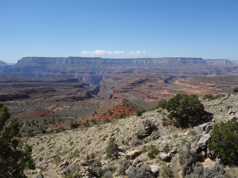
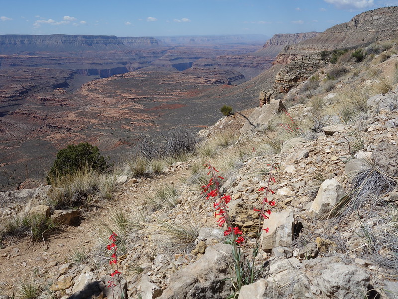
Nothing left to do but hike the final 6 miles and 1200 vertical back up to the North Rim and our vehicles at Indian Hollow TH. Then I was off to the races to drive as far north as possible to be in position to get home by Saturday night. Not before a big old fashioned Hot Fudge Sundae in Kanab.
Deer Canyon below by John Morrow, on Flickr
trumpet by John Morrow, on Flickr
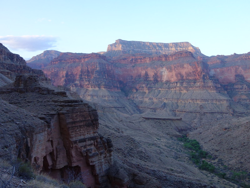
parting shot by John Morrow, on Flickr
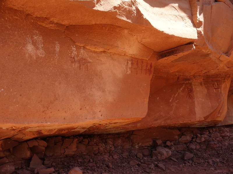
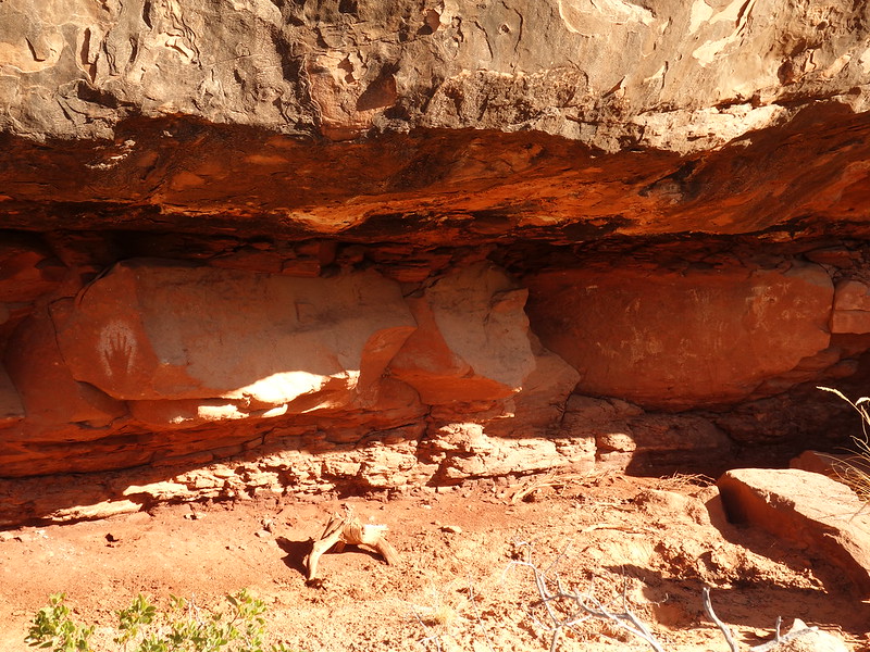
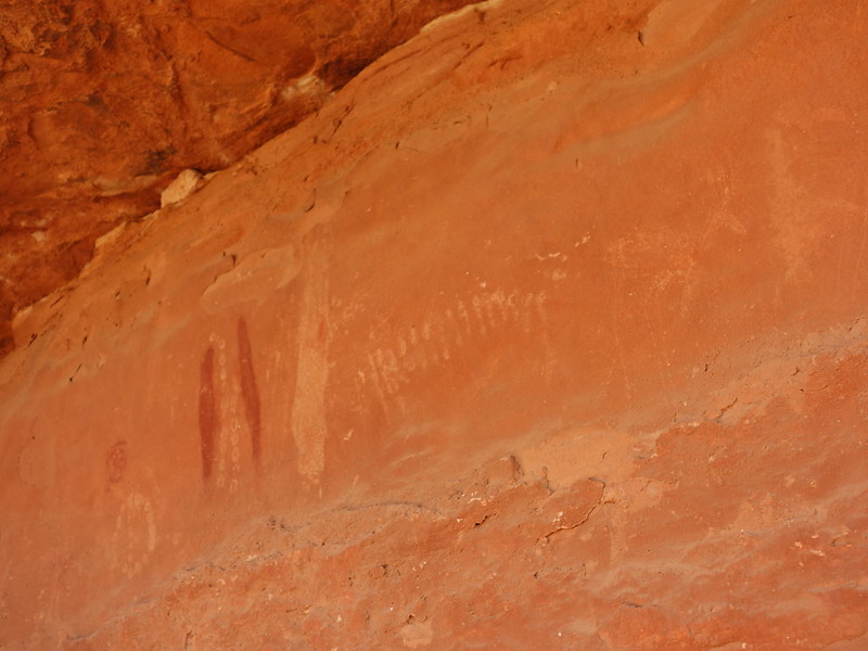
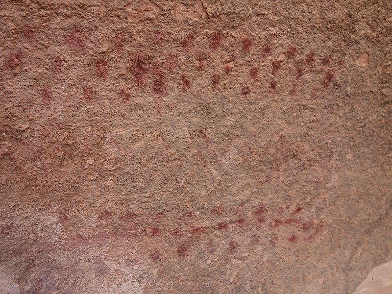
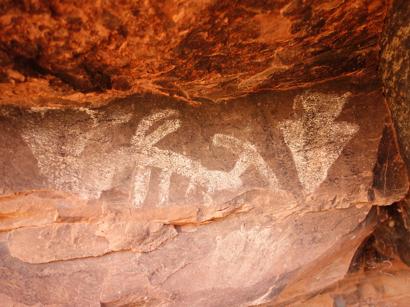
The area does not have much info on Rock Art readily available on the web, which is probably a good thing. This is a sample of what we could find:
panel by John Morrow, on Flickr

negative handprints by John Morrow, on Flickr
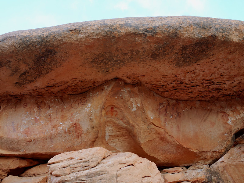
elaborate panel by John Morrow, on Flickr
Maureen's panel by John Morrow, on Flickr
Rhonda's panel by John Morrow, on Flickr
pictographs by John Morrow, on Flickr
pictographs by John Morrow, on Flickr
April 21:
We laid over in Deer Creek Canyon for the day giving each of us the opportunity to visit waterfalls, lounge on the Patio and/or explore forks of Middle Deer Canyon.
Tranquil Deer Creek by John Morrow, on Flickr
layover day exploration by John Morrow, on Flickr
I headed as far up the forks of Deer Canyon as I had the energy to. My goal was to reach the Redwall Limestone and hope for some pretty narrows after reaching the junction of the main and east forks.
yucca bloom by John Morrow, on Flickr
Upcanyon in Deer Cr Canyon by John Morrow, on Flickr
more jams in middle Deer Canyon by John Morrow, on Flickr
made it to canyon forks! by John Morrow, on Flickr
Main Deer Canyon by John Morrow, on Flickr
East Fork Deer Canyon by John Morrow, on Flickr
E. Fk ends for me at rockslide by John Morrow, on Flickr
a lunch counter by John Morrow, on Flickr
turn around, distant fork ahead by John Morrow, on Flickr
lunch by John Morrow, on Flickr
return by John Morrow, on Flickr
narrows by John Morrow, on Flickr
above the river by John Morrow, on Flickr
April 22:
Time to pack up and take the trail back up to the Esplanade camp we had on our first night. Temps cooled off which made it much nicer.
Last morning by John Morrow, on Flickr
Back to Esplanade by John Morrow, on Flickr
In the evening Maureen and I headed out for an exploration in the Esplanade sandstone of headwater forks of the S. Fk. of Deer Canyon. No evidence of ancient cultures but fun walking and descending dryfalls and finding yet more water.
Esplanade sandstone by John Morrow, on Flickr
getting back out of Deer Canyon by John Morrow, on Flickr
April 23:
Nothing left to do but hike the final 6 miles and 1200 vertical back up to the North Rim and our vehicles at Indian Hollow TH. Then I was off to the races to drive as far north as possible to be in position to get home by Saturday night. Not before a big old fashioned Hot Fudge Sundae in Kanab.
Deer Canyon below by John Morrow, on Flickr
trumpet by John Morrow, on Flickr
parting shot by John Morrow, on Flickr
The area does not have much info on Rock Art readily available on the web, which is probably a good thing. This is a sample of what we could find:
panel by John Morrow, on Flickr
negative handprints by John Morrow, on Flickr
elaborate panel by John Morrow, on Flickr
Maureen's panel by John Morrow, on Flickr
Rhonda's panel by John Morrow, on Flickr
pictographs by John Morrow, on Flickr
pictographs by John Morrow, on Flickr
.jpg")
")