John Morrow
Member
- Joined
- May 22, 2015
- Messages
- 1,146
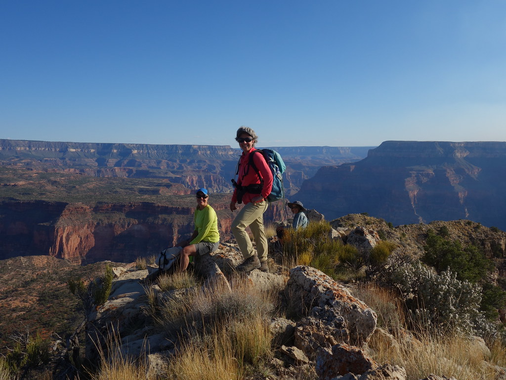
Last leg of my Utah/Arizona 2021 Desert Trip. With the wonderful company of Kimberly S., Maureen S. and Rhonda M.
Here are the first three days: Thunder River Trail-->Esplanade Camp-->Tapeats Cr Camp-->Colorado River-Granite Narrows Route-->Deer Creek Camp. With a couple of desert scrambles along the way.
April 18th:
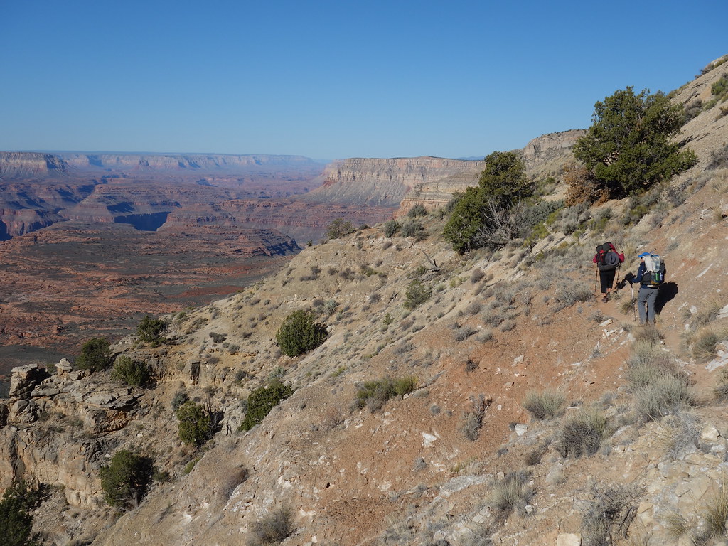
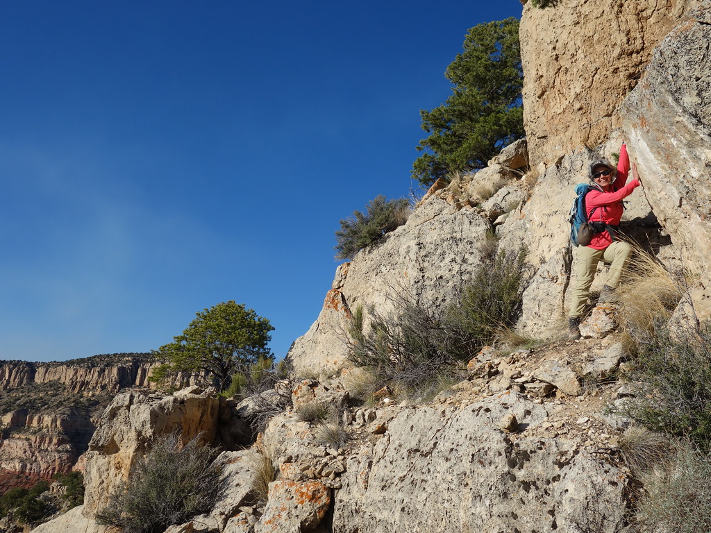
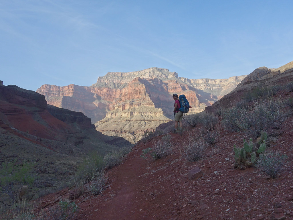
Down the Thunder River Trail from Indian Hollow Trailhead to a camp on the Esplanade near Bill Hall Trail Junction beneath Monument Point.
Getting started by John Morrow, on Flickr
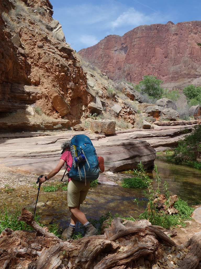
Kimberly crosses Deer Cr head by John Morrow, on Flickr
Afternoon scramble of Bridgers Knoll 6602'. Route description I put on PB:
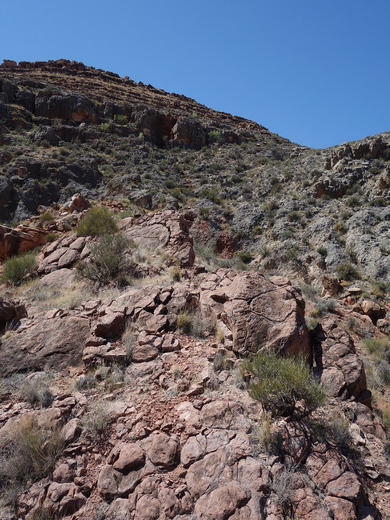
Route ascends occasionally loose-ish scree and vegetation up a steep slope above the Esplanade to the base of the limestone layers of the west face. An obvious ramp splits the limestone face from lower right to upper left. The ramp is wide but with loose footing. An alternative is the outside edge of the ramp on solid, but exposed, downward sloping limestone. Once through that layer a series of short steps leads through the west face of the short upper limestone layer below the summit block. Loose grit and rocks on ledges but mostly solid, otherwise. Memorable mountain on a less than memorable route!
Kimberly ascending ahead of smoke by John Morrow, on Flickr
The crew on Bridgers Knoll summit by John Morrow, on Flickr
Maureen on descent by John Morrow, on Flickr
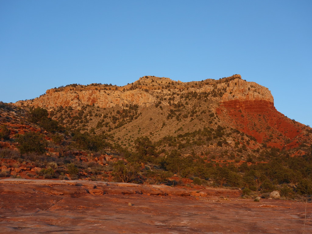
Our west face route by John Morrow, on Flickr
April 19th:
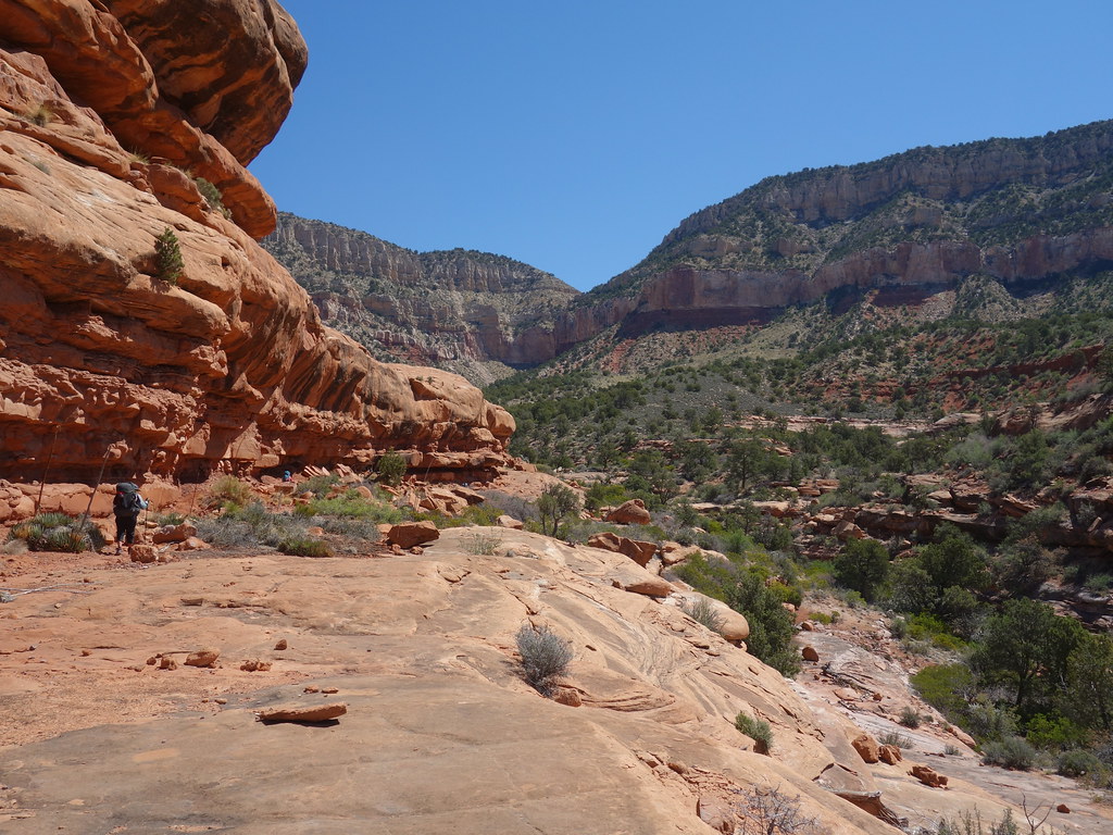
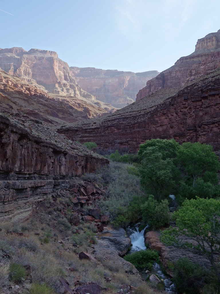
Down Thunder River Trail to Surprise Valley, then Thunder Falls, and finally camp along Tapeats Creek.
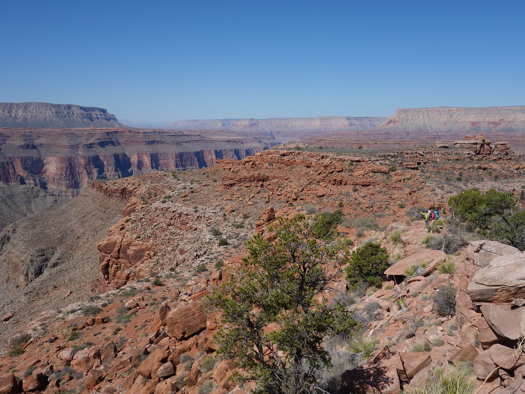
About to descend to Surprise Valley by John Morrow, on Flickr
Scale by John Morrow, on Flickr
Cooled off and happy! by John Morrow, on Flickr
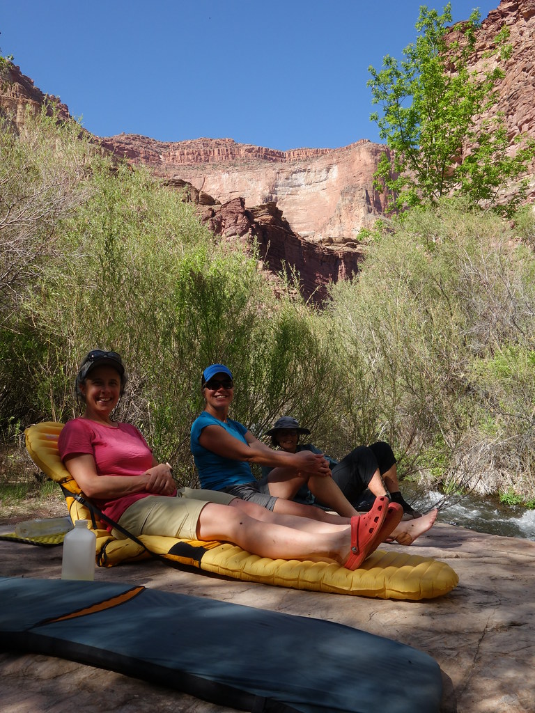
Happy camp lounging by John Morrow, on Flickr
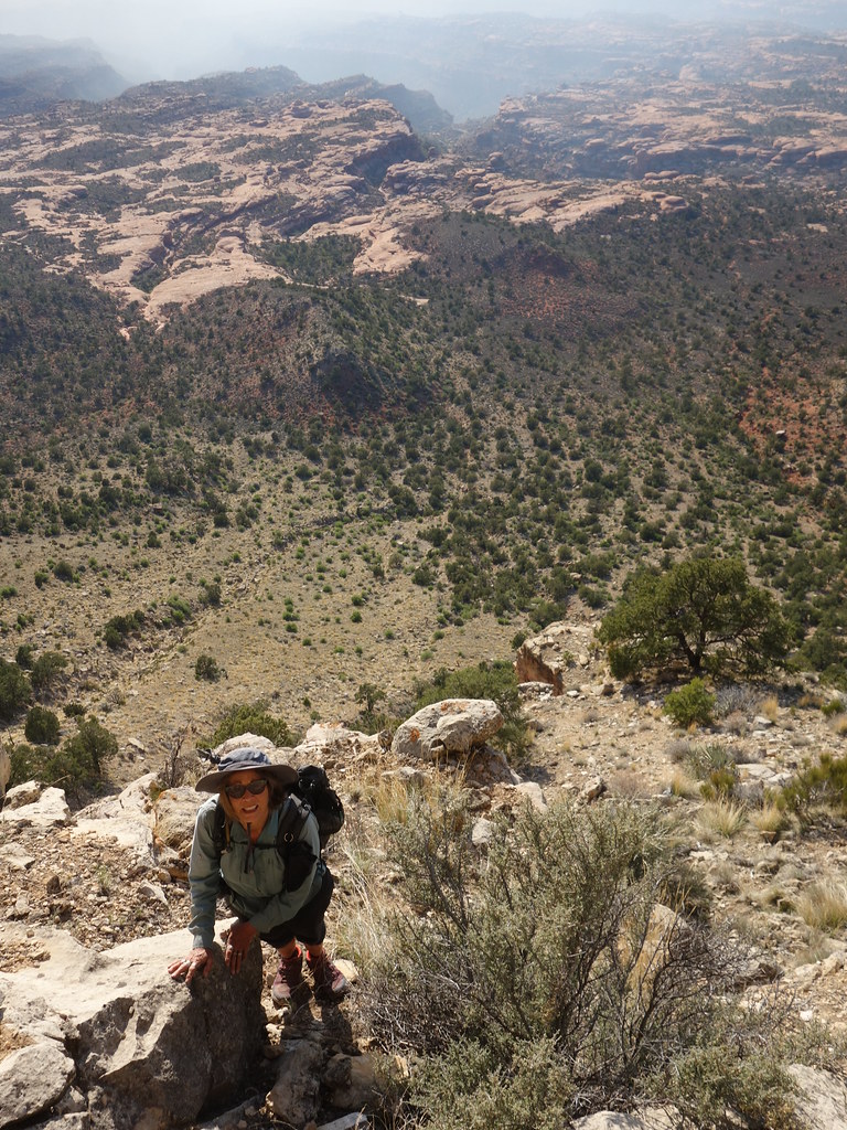
I took a side jaunt up Cogswell Butte 4545'.
Route description on PB: N/NE Ridge is an enjoyable scramble on solid rock. Begin at the trail junction in Surprise Valley at the base of the ridge in a campsite. Gentle solid footing with occasional sandstone scrambling up higher leads to the crux. The Class 3 crux is an impeccably solid ten foot sculpted trough in the first limestone ledge. Blocky scrambling on limestone then leads to little upper red ledges and a final 20 foot limestone face rimming the summit. Take any number of fun vertical scramble routes or completely bypass on the west side by walking the base on a rising traverse (my descent).
North Ridge of Cogswell route by John Morrow, on Flickr
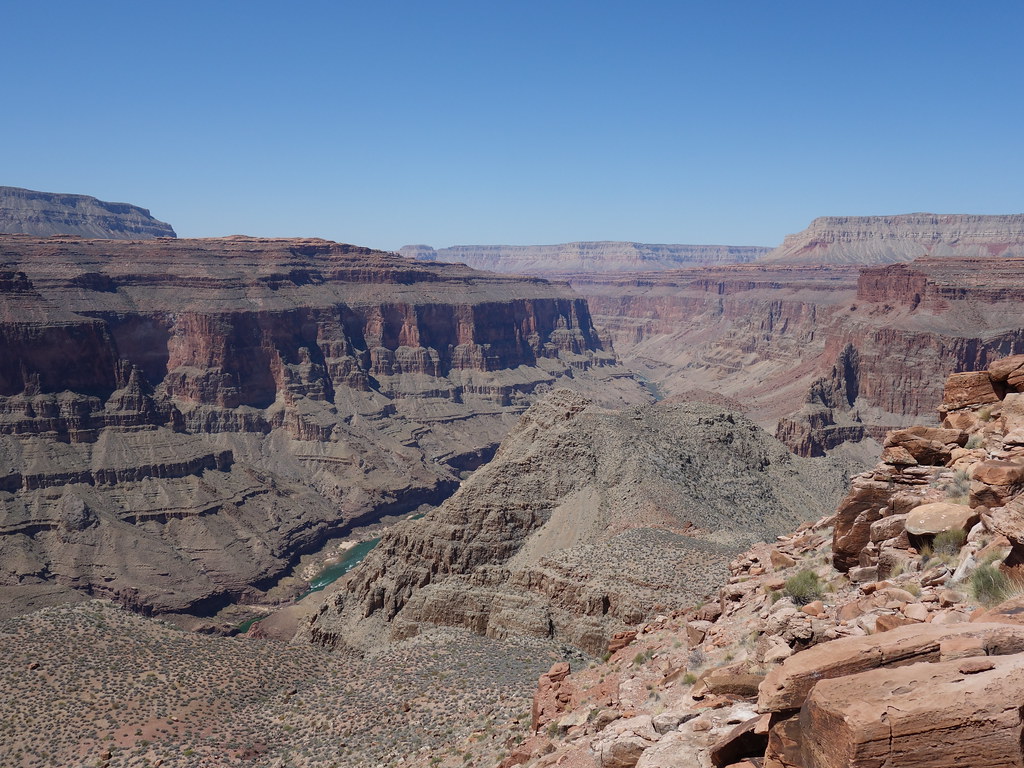
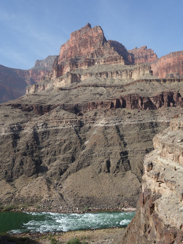
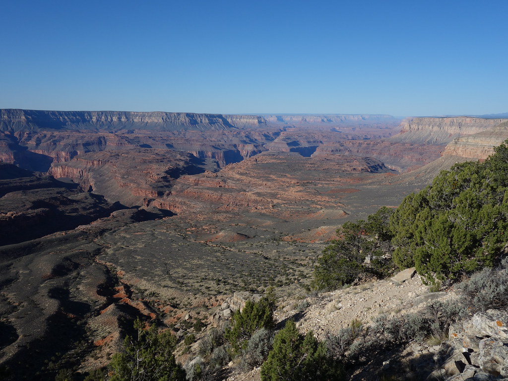
Colorado River! by John Morrow, on Flickr
April 20th:
Amazing day hiking down Tapeats Creek to the Colorado River. Then a use trail along the river known as the Granite Narrows Route took us to our next two night's camp in Deer Creek Canyon.
Climbing to descend???? by John Morrow, on Flickr
Gorgeous spot on Tapeats by John Morrow, on Flickr
The Colorado! by John Morrow, on Flickr
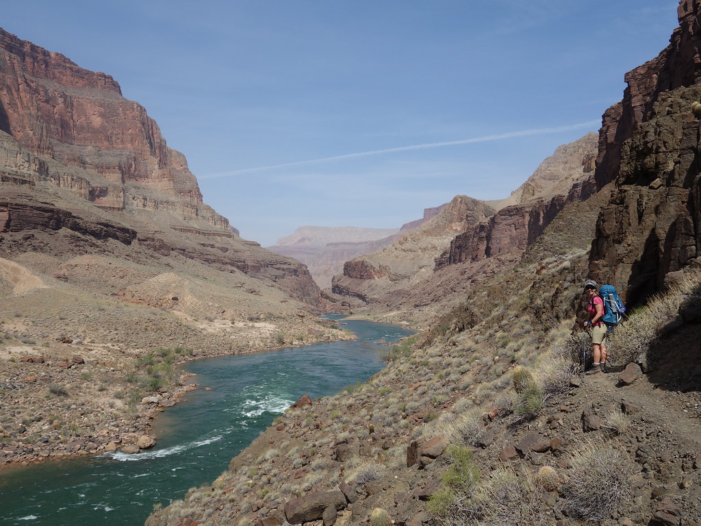
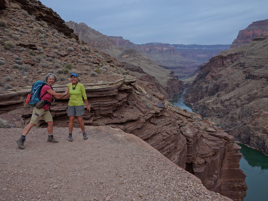
Maureen pauses to view by John Morrow, on Flickr
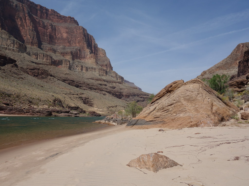
beaches! by John Morrow, on Flickr
Marueen crosses the Patio by John Morrow, on Flickr
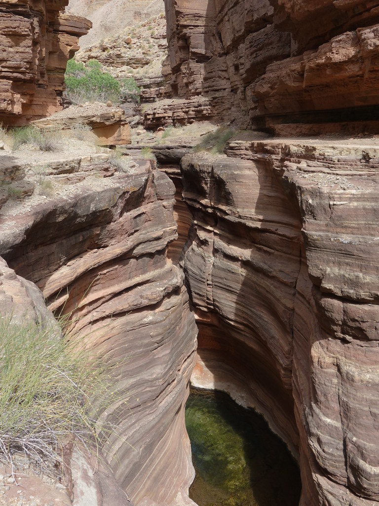
deepening narrows by John Morrow, on Flickr
Funning by John Morrow, on Flickr
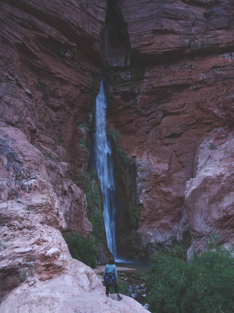
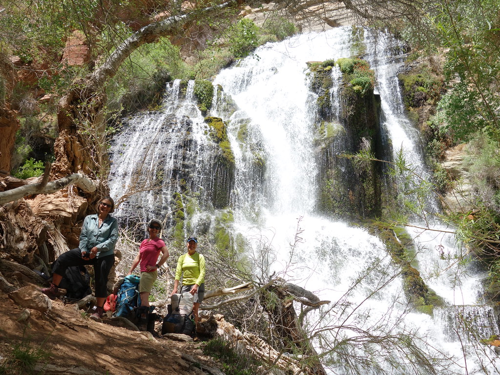
Kimberly at Deer Falls by John Morrow, on Flickr
Soon I hope to write up Part 2 April 21-23.
Full album:
 www.flickr.com
Here are the first three days: Thunder River Trail-->Esplanade Camp-->Tapeats Cr Camp-->Colorado River-Granite Narrows Route-->Deer Creek Camp. With a couple of desert scrambles along the way.
April 18th:
Down the Thunder River Trail from Indian Hollow Trailhead to a camp on the Esplanade near Bill Hall Trail Junction beneath Monument Point.
Getting started by John Morrow, on Flickr
Kimberly crosses Deer Cr head by John Morrow, on Flickr
Afternoon scramble of Bridgers Knoll 6602'. Route description I put on PB:
Route ascends occasionally loose-ish scree and vegetation up a steep slope above the Esplanade to the base of the limestone layers of the west face. An obvious ramp splits the limestone face from lower right to upper left. The ramp is wide but with loose footing. An alternative is the outside edge of the ramp on solid, but exposed, downward sloping limestone. Once through that layer a series of short steps leads through the west face of the short upper limestone layer below the summit block. Loose grit and rocks on ledges but mostly solid, otherwise. Memorable mountain on a less than memorable route!
Kimberly ascending ahead of smoke by John Morrow, on Flickr
The crew on Bridgers Knoll summit by John Morrow, on Flickr
Maureen on descent by John Morrow, on Flickr
Our west face route by John Morrow, on Flickr
April 19th:
Down Thunder River Trail to Surprise Valley, then Thunder Falls, and finally camp along Tapeats Creek.
About to descend to Surprise Valley by John Morrow, on Flickr
Scale by John Morrow, on Flickr
Cooled off and happy! by John Morrow, on Flickr
Happy camp lounging by John Morrow, on Flickr
I took a side jaunt up Cogswell Butte 4545'.
Route description on PB: N/NE Ridge is an enjoyable scramble on solid rock. Begin at the trail junction in Surprise Valley at the base of the ridge in a campsite. Gentle solid footing with occasional sandstone scrambling up higher leads to the crux. The Class 3 crux is an impeccably solid ten foot sculpted trough in the first limestone ledge. Blocky scrambling on limestone then leads to little upper red ledges and a final 20 foot limestone face rimming the summit. Take any number of fun vertical scramble routes or completely bypass on the west side by walking the base on a rising traverse (my descent).
North Ridge of Cogswell route by John Morrow, on Flickr
Colorado River! by John Morrow, on Flickr
April 20th:
Amazing day hiking down Tapeats Creek to the Colorado River. Then a use trail along the river known as the Granite Narrows Route took us to our next two night's camp in Deer Creek Canyon.
Climbing to descend???? by John Morrow, on Flickr
Gorgeous spot on Tapeats by John Morrow, on Flickr
The Colorado! by John Morrow, on Flickr
Maureen pauses to view by John Morrow, on Flickr
beaches! by John Morrow, on Flickr
Marueen crosses the Patio by John Morrow, on Flickr
deepening narrows by John Morrow, on Flickr
Funning by John Morrow, on Flickr
Kimberly at Deer Falls by John Morrow, on Flickr
Soon I hope to write up Part 2 April 21-23.
Full album:
Grand Canyon Natl Pk Thunder-Tapeats Backpack Days 1-3. April 18-23, 2021
Indian Hollow/Thunder River Trail-->Tapeats Creek-->Colorado River Route to Deer Creek
www.flickr.com
.JPG")
")

.JPG")

